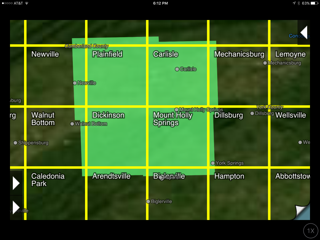
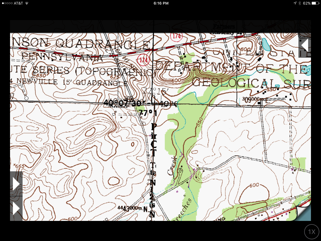
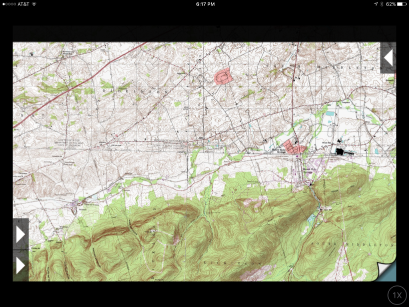
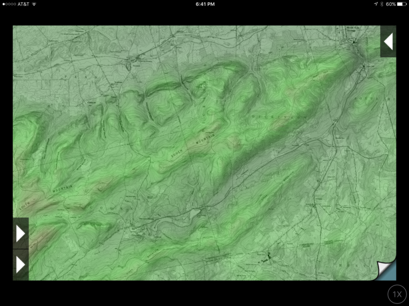
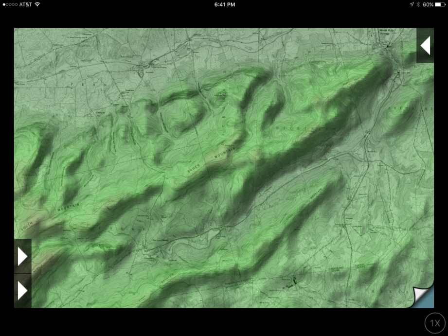
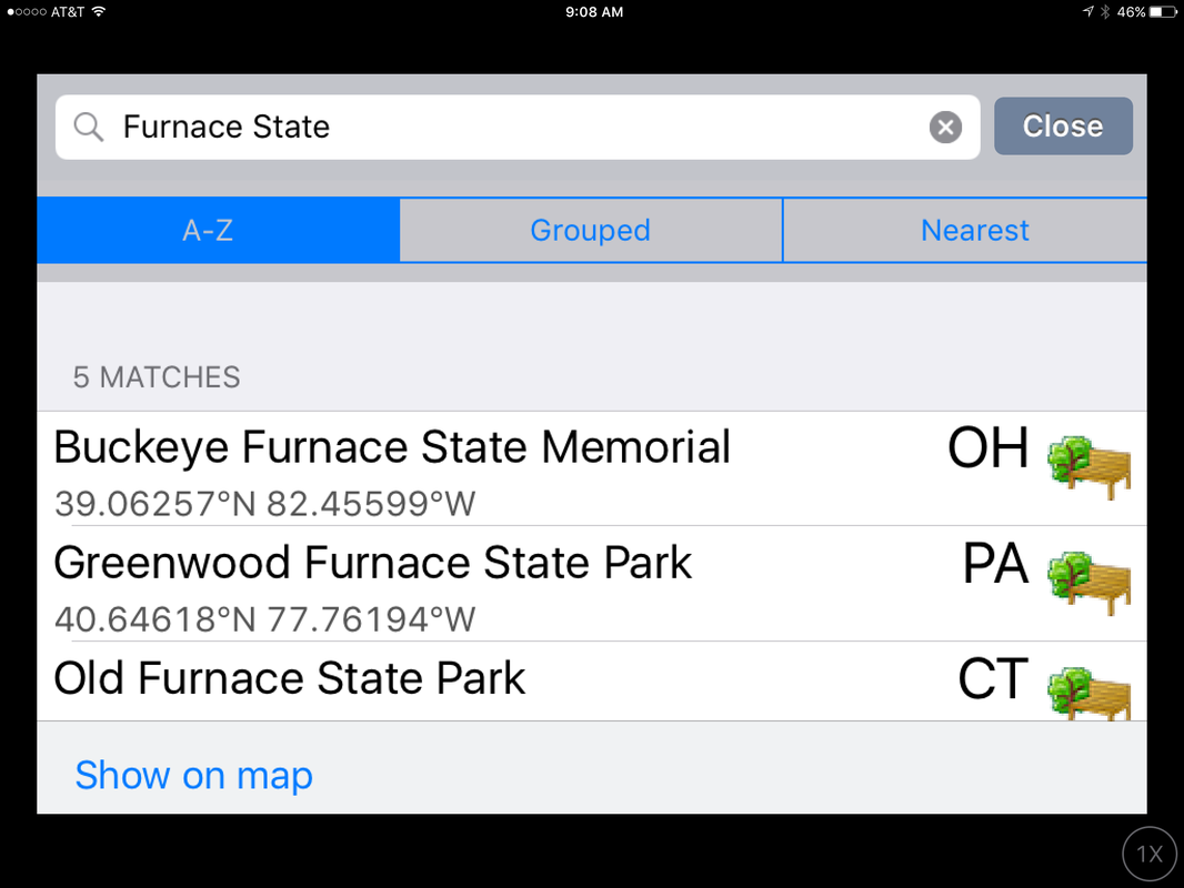
Why We Use Topographic Maps As you can see from our site’s structure and checklists, we think that knowing where you are when hiking and camping is extremely important. Many times it is even more important than taking water and food with you - since knowing where you are, what the trail and terrain have in store for you and the distance that you plan to travel impacts the amount of water and food that you should carry. Over the years numerous people took what they believed was a sufficient amount of water and food with them into the backcountry only to exhaust it when they lost their way and did not have the maps or navigation knowledge to find their way out. Although we normally try to have at least a small trail map, even for “local” trails that are unfamiliar, the maps that we prefer for longer distances are topographic maps since they are more detailed and show the terrain too. For topographic maps we use the "Topo Maps" IOS app by Phil Endecott. It's been around since 2009 and gives you direct access to 70,000 USGS and Natural Resources Canada topographical maps that you can download to either your iPad or iPhone. The maps cover The United States, including Alaska, Hawaii, Puerto Rico and the U.S. Virgin Islands, and Canada. Most of the US maps have a scale of 1:24,000 and the Canadian maps are 1:50,000. One really nice feature is that the app will automatically “stitch” together maps at their boundaries so that you don’t need to flip back and forth between multiple maps. Topo Maps also downloads the terrain data that you can view in a range from "flat" to "exaggerated" in a 3D shaded map display. The app contains a database of more than a million place names, which you can search to find the right map or individual features on those maps. It also supports waypoints (waypoint files can be downloaded from the internet), GPS location, adjustable solar shading due to the sun’s position and terrain visibility calculations. You can find more details about our views on Navigation, and gear/apps that we use, on the Hiking/Navigation page. If you want to see more detailed information here's the URL for the "Topo Maps" website: http://topomapsapp.com/index.html
0 Comments
Leave a Reply. |
What's On This Page?Here's where we post reviews, questions, answers, thoughts and other information that's of general interest to our followers in a blog format. Categories
All
Archives
August 2023
|
 RSS Feed