The Essential Gear and Knowledge That You Need to Prepare for Mishaps in the OutbackAs we’ve mentioned in previous blogs, one of the main reasons that we started our HCS website back in 2016 was to share the knowledge that we had acquired during our many years of Hiking, Camping and Shooting. So we’re always gratified when someone reaches out to us to say that they found our gear evaluation criteria, product information, blogs, adventure photos, "Useful Apps", and "Other Helpful Information Sources" links to be helpful. In that vein, this week, Marc and his son Tyler (who is in the process of earning his Boy Scout Wilderness Survival Merit Badge) dropped us a note to say that they found our site to be helpful. And, as with many contacts that we receive, Tyler wanted to “pay it forward” by letting us know about another great online resource that he had found; an article from Advantis Medical on “First Aid and Outdoor Recreation”. 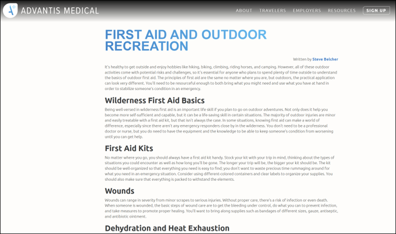 Since we’re always looking for additional information, we checked out the article. The article starts out with 9 paragraphs discussing a few of the most significant First Aid risks that you can face when hiking - at a high level:
But the real payoff of the article is the fact that it has links to 14 other webpages that cover a wide variety of wilderness First Aid topics from a broad set of viewpoints. So it’s a great starting point to jump off from.
For us the topic of First Aid is so important that we have different gear for Hiking and Camping and Disaster Preparedness – since because Camping normally includes getting further from civilization, staying overnight and making meals outdoors, the level of activities and risk increases, and in Disasters there are more extenuating circumstances that require additional supplies. So, if you’re interested in relooking your First Aid gear and knowledge before you head out into the wilderness again you should take a look at some of this material. I know that with these resources Tyler won’t have any problem obtaining his Boy Scout Wilderness Survival Merit Badge. 
0 Comments
21 Days Touring the British IslesWe recently made it home from a 21-day trip to the British Isles. During our trip we drove 2,476 miles on the "wrong side of the road" (at least for Americans) and on small and smaller roads most of the time. It was a great trip – even if the driving and parking was a little challenging in some places……. In addition to the all the driving, we also walked more than 243,000 steps (which translates to over 115 miles) – through all types of both country and urban terrain. Here's a map of what our overall trip looked like. 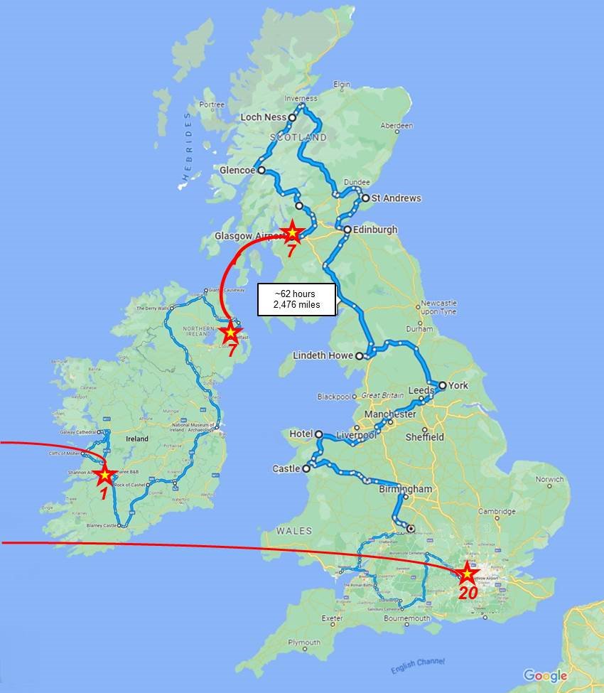 During our 7 days traveling in Ireland and Northern Ireland we drove almost 750 miles and visited the following major sites:
During our 14 days traveling in Scotland, Wales and England we drove almost 1,750 miles and visited the following major sites:
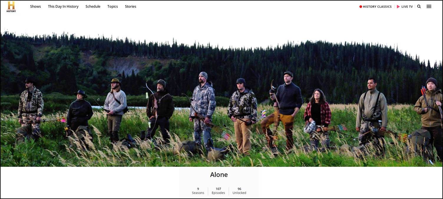
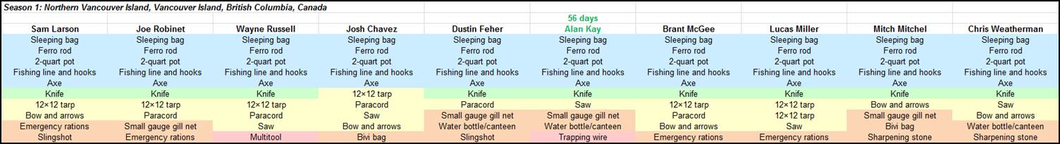
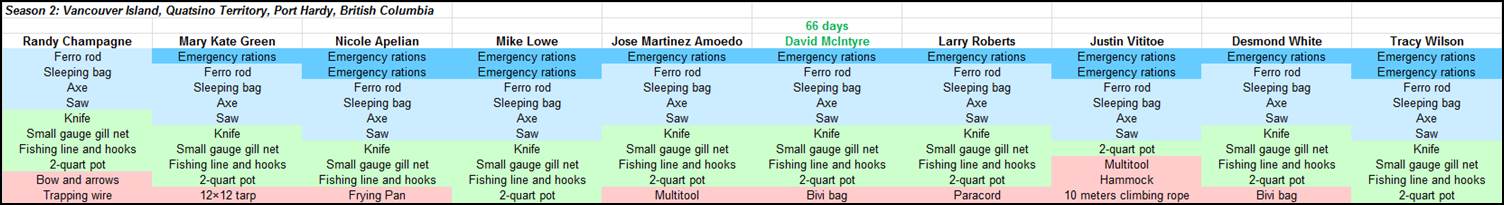
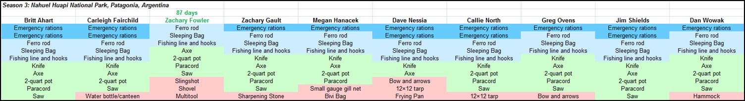
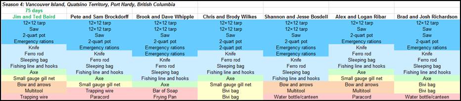
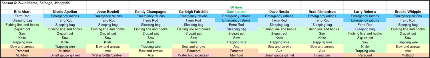
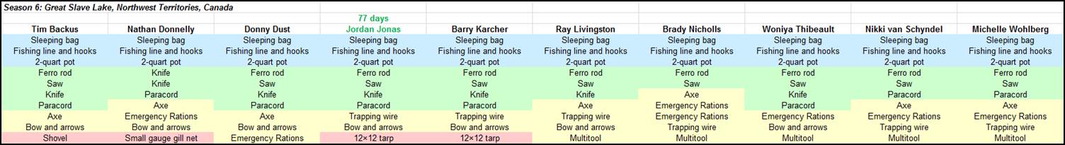
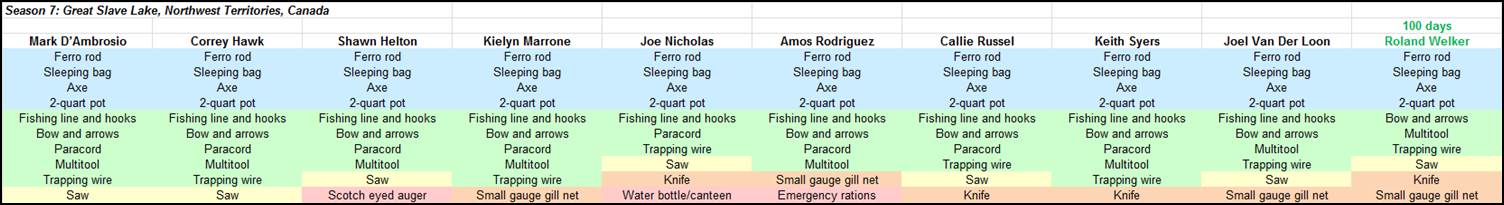
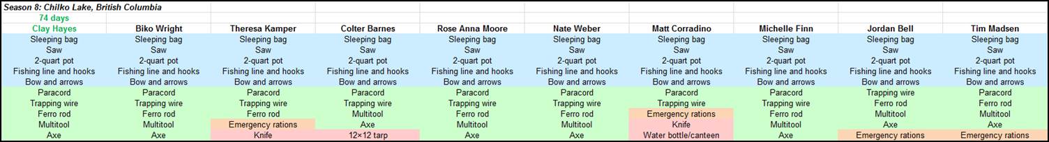
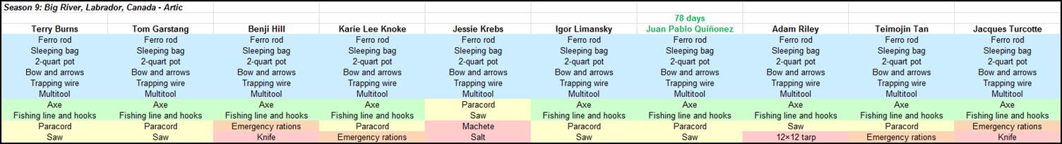
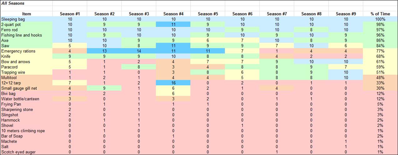
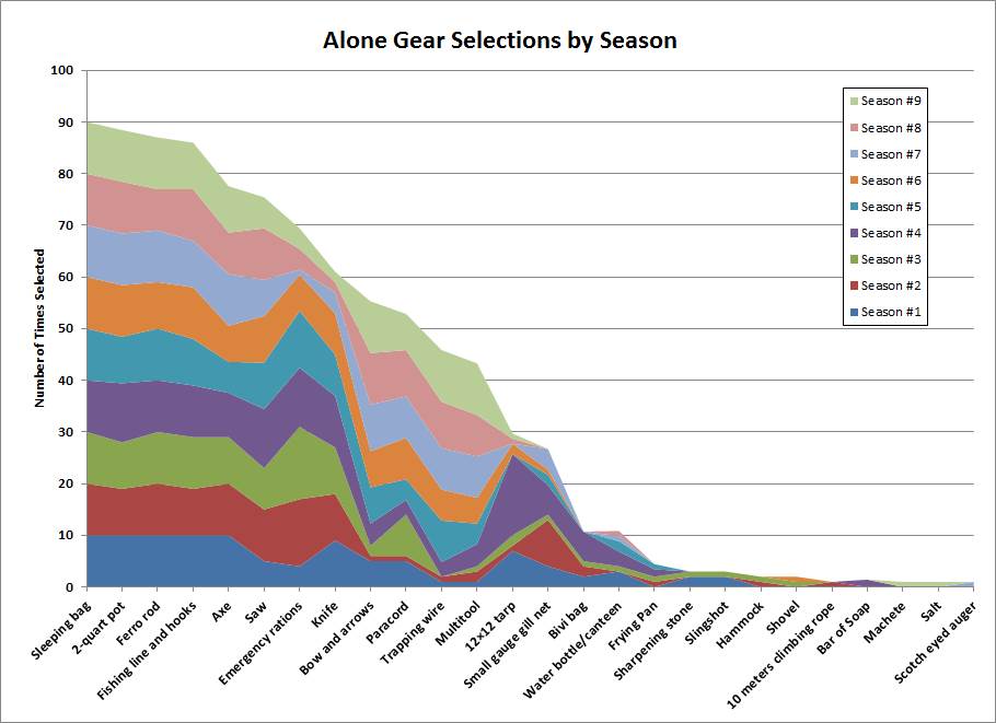
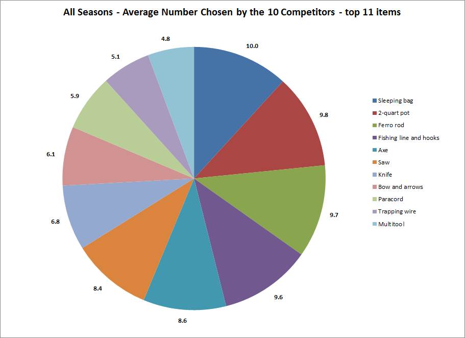
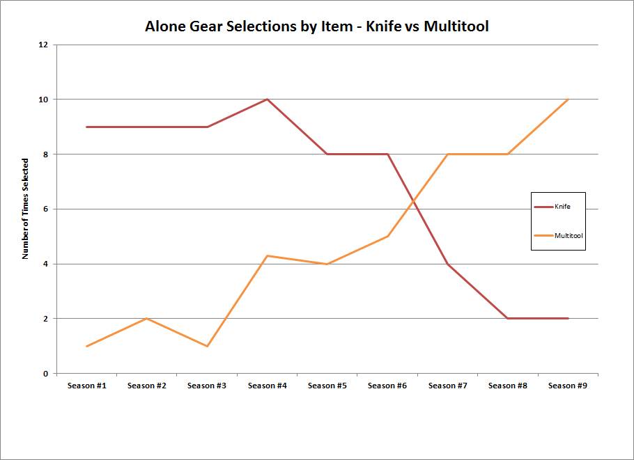
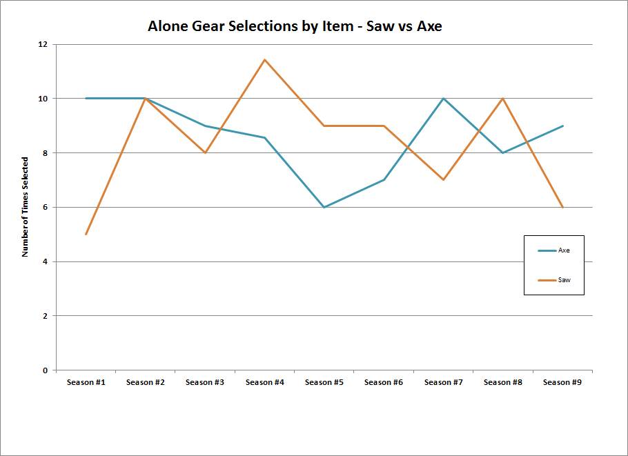
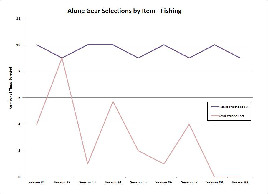
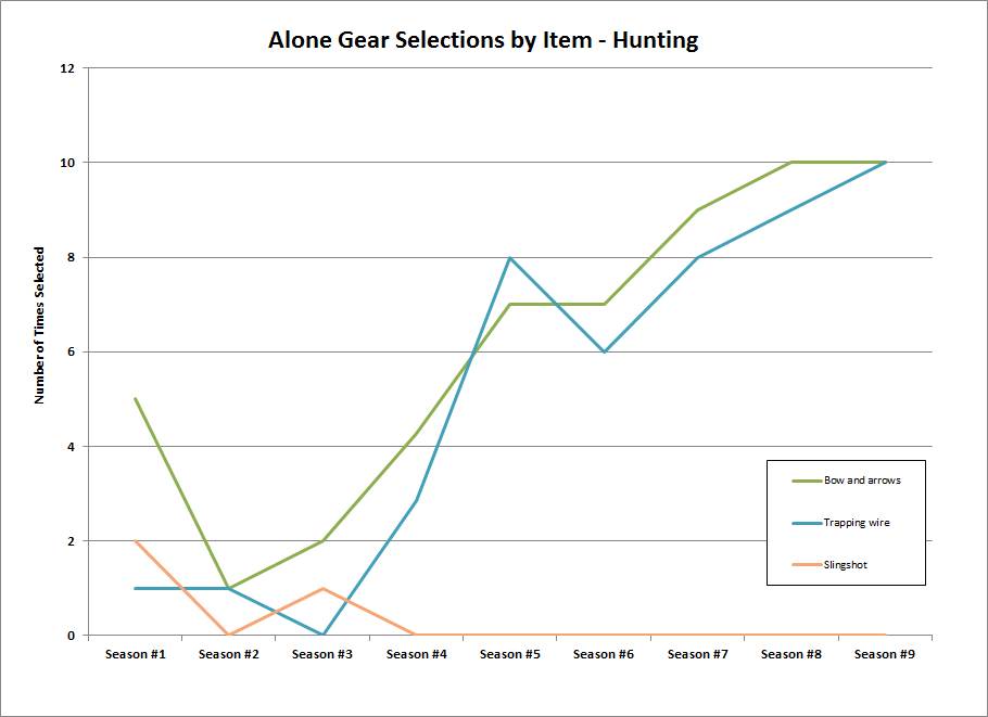
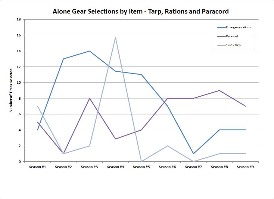
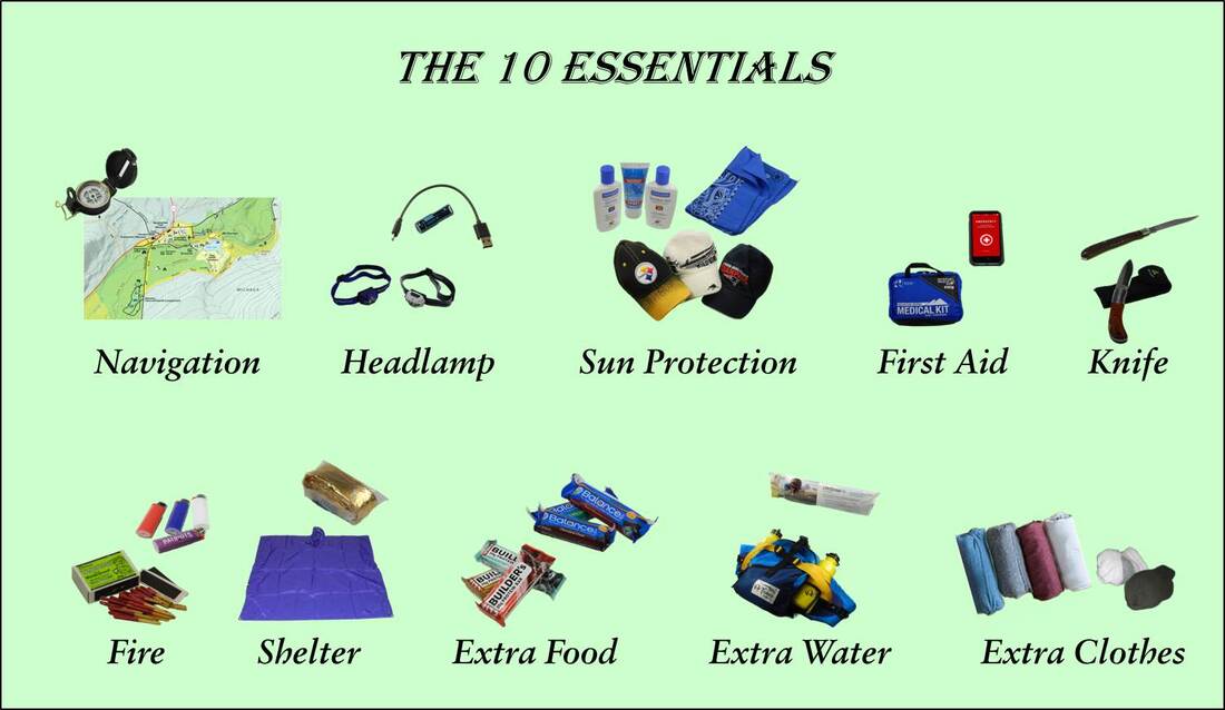
As always, we took thousands of photos – so we’ll be editing and posting them over the next few weeks as time allows. The 10 Items That the “Alone” Competitors Took into the Field to Keep Themselves Alive |

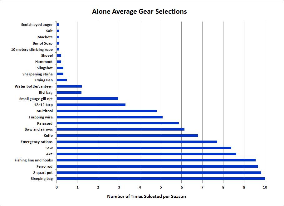


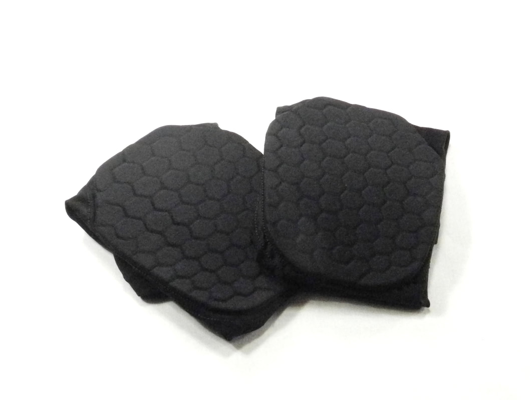 | 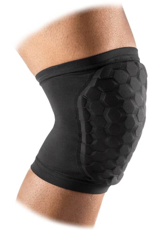 |
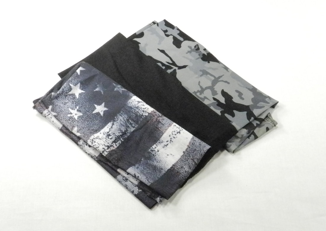
https://www.mcdavidusa.com/products/hex-knee-elbow-shin-pads-pair
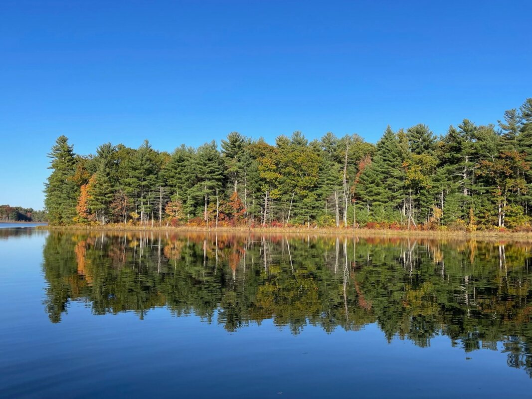
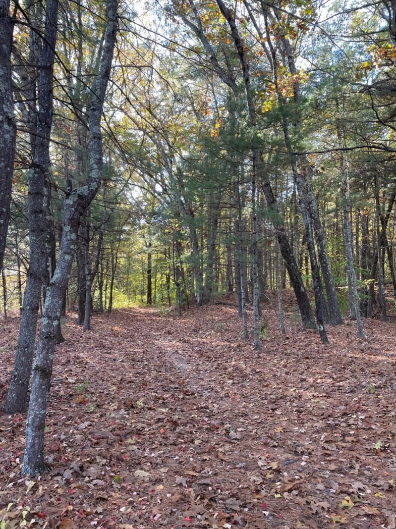
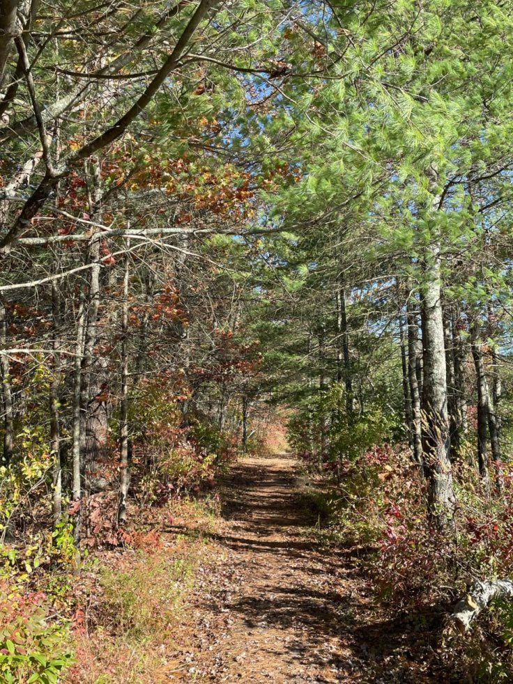
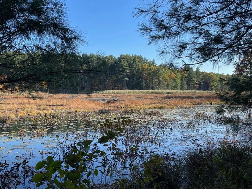
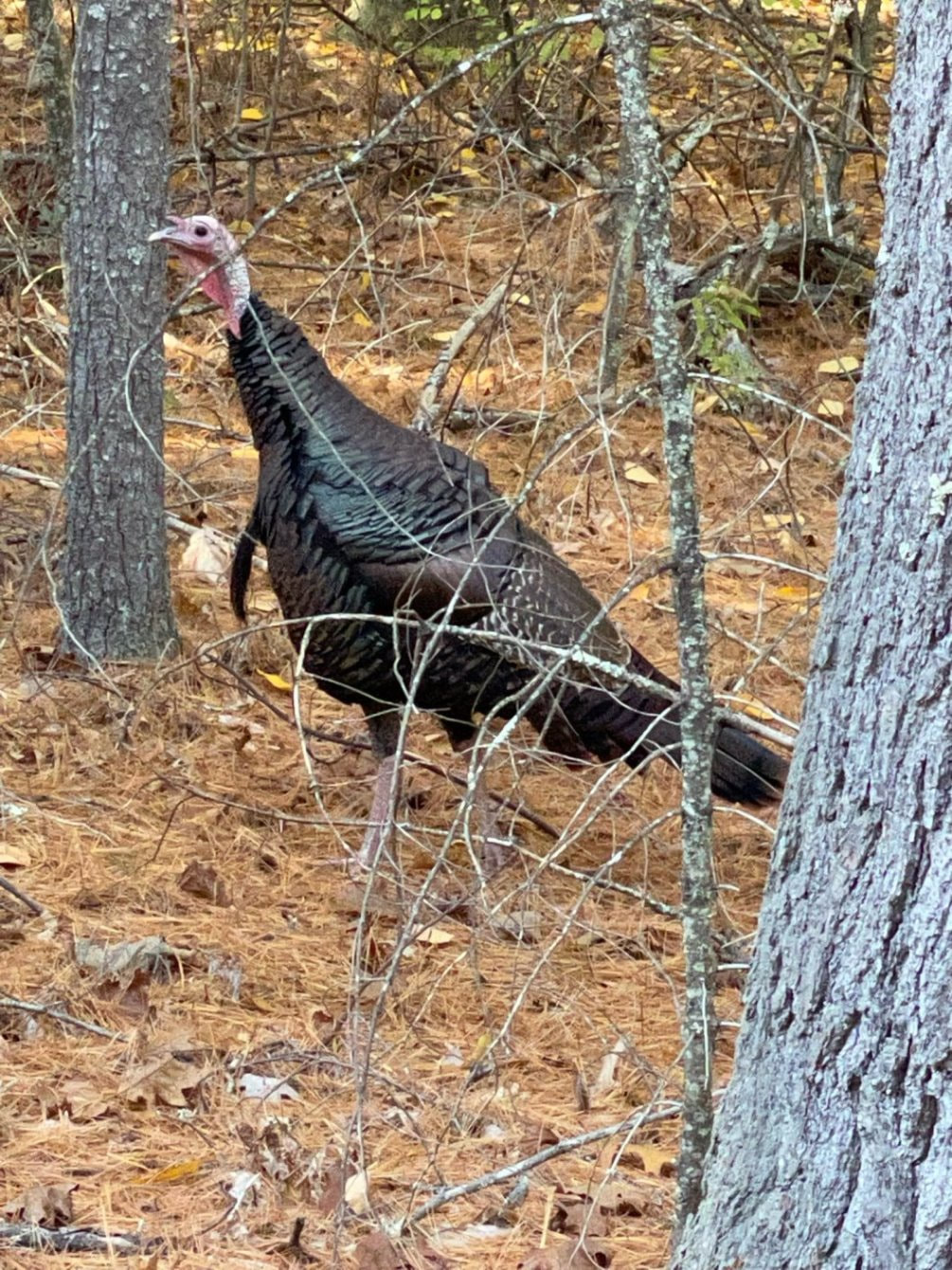
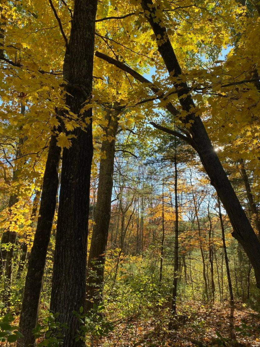
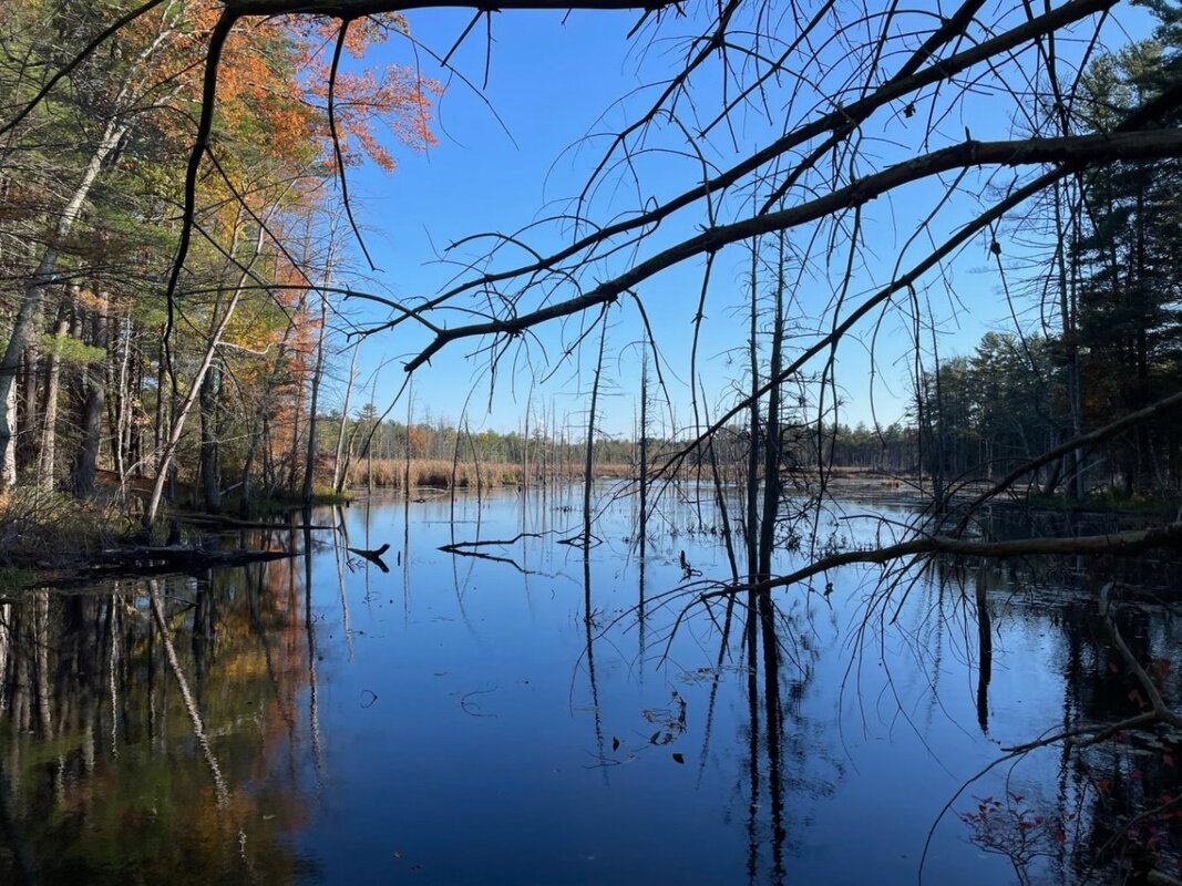
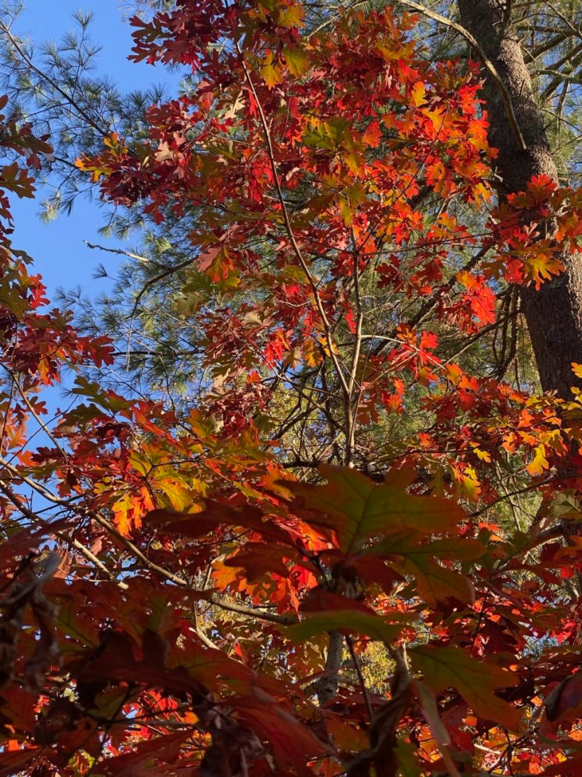
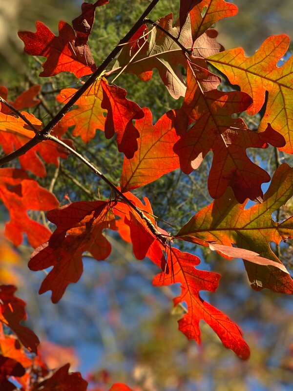
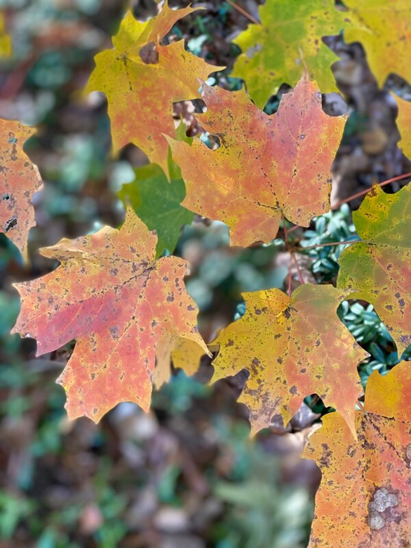
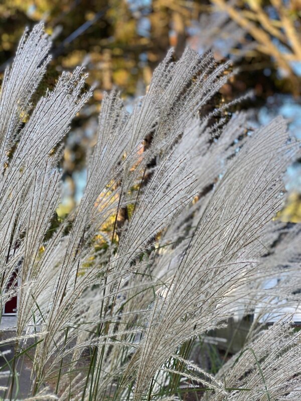
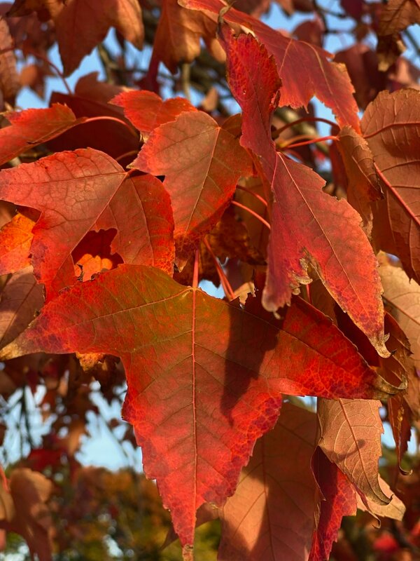
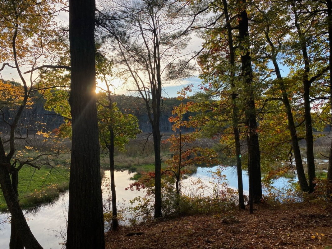
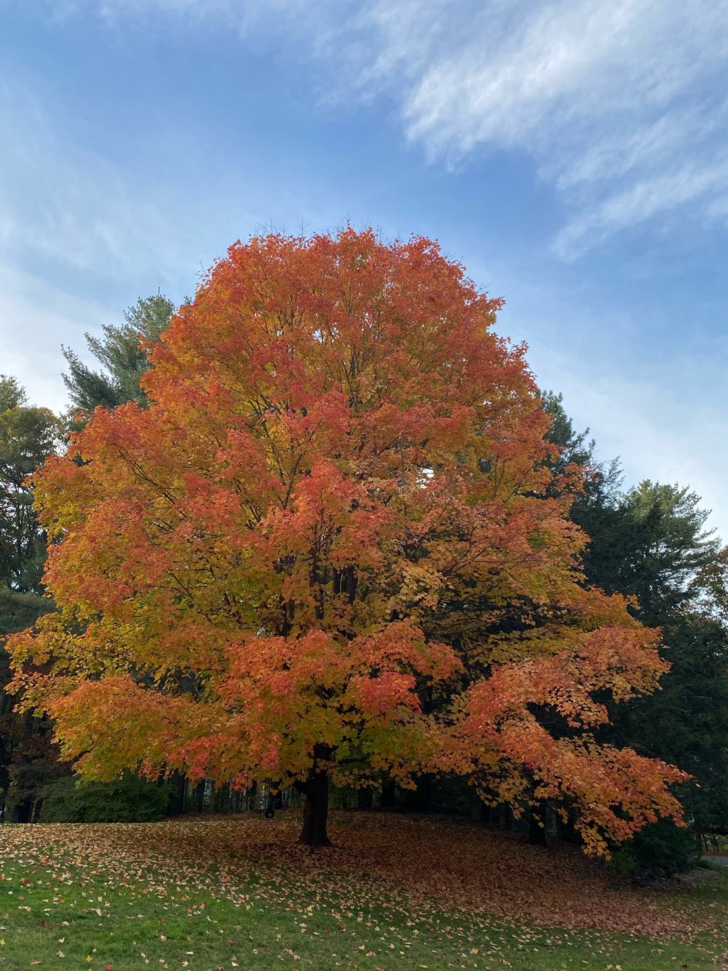
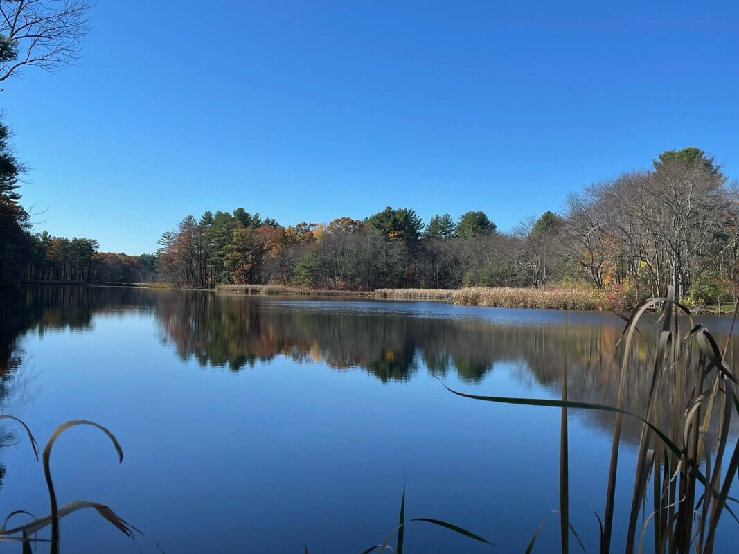
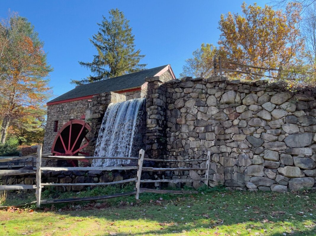
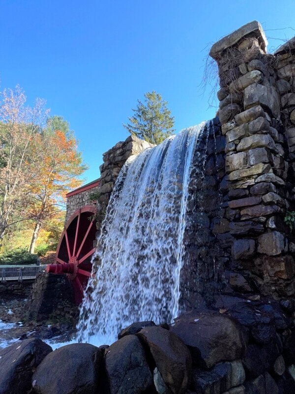
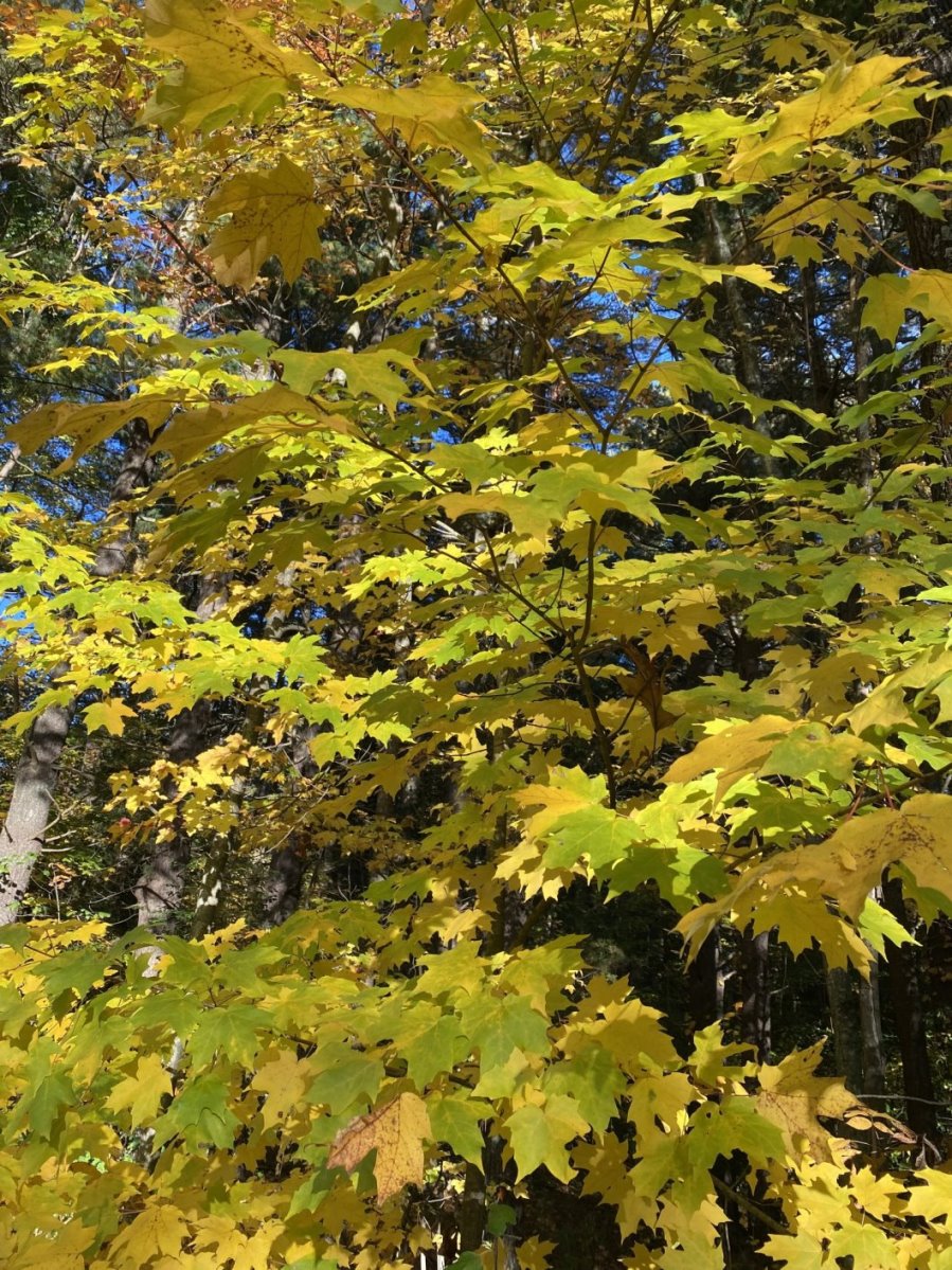
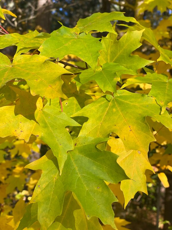
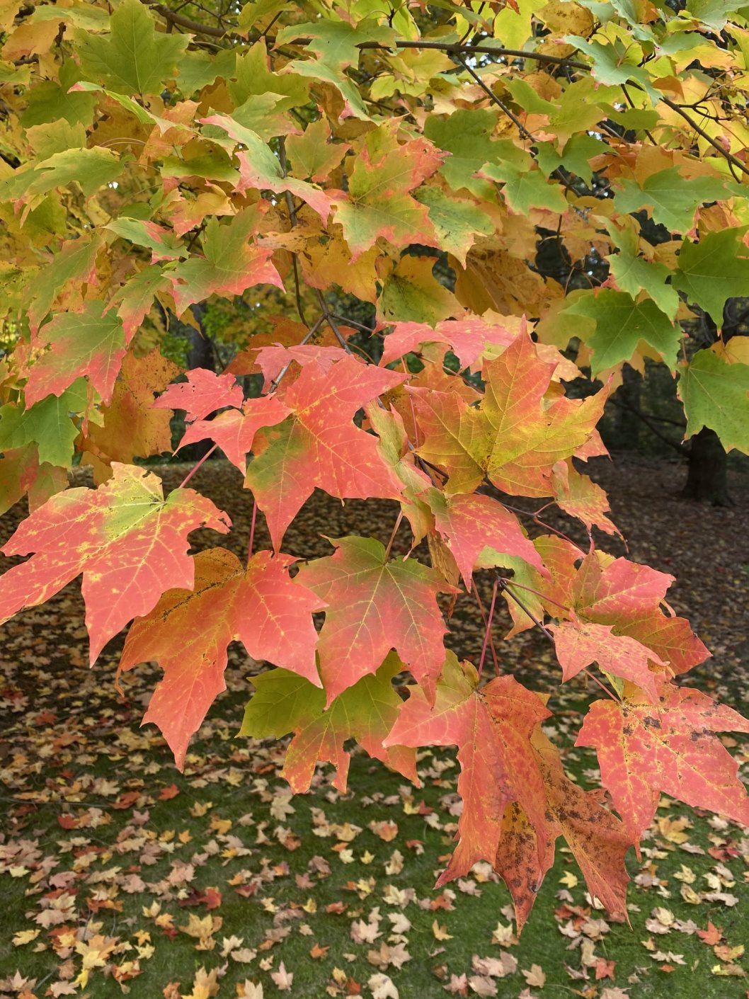
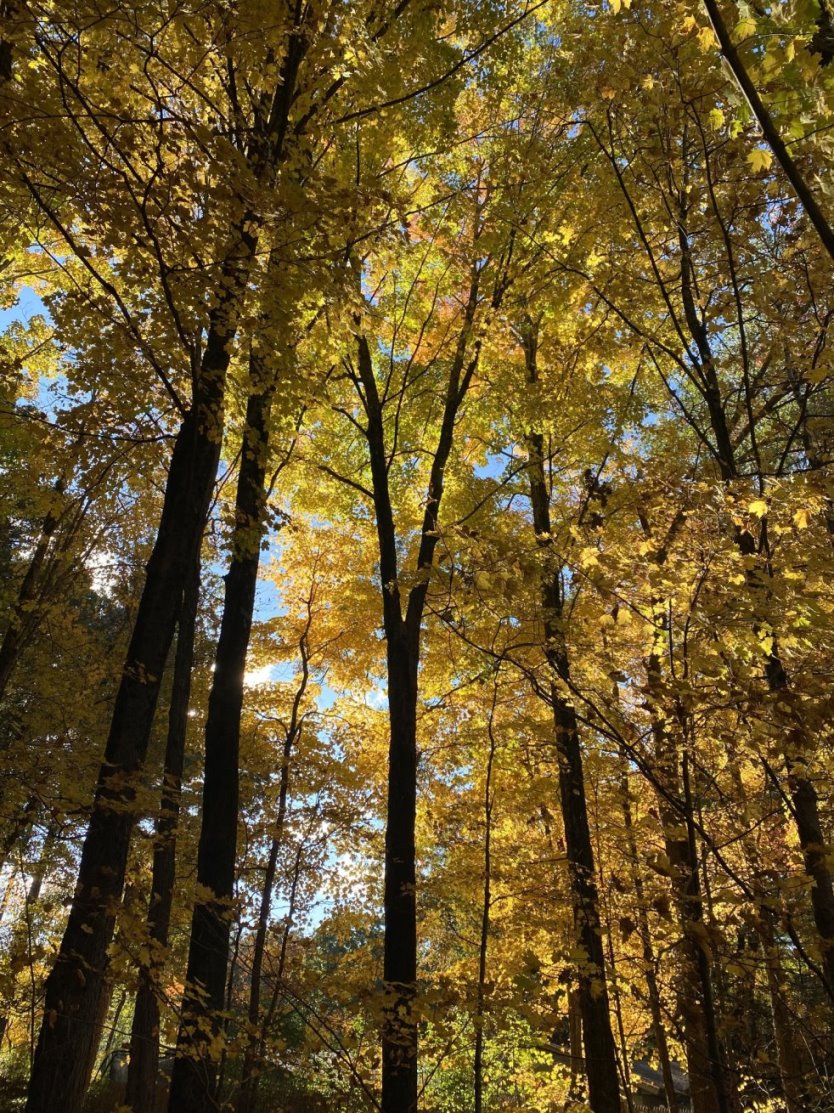
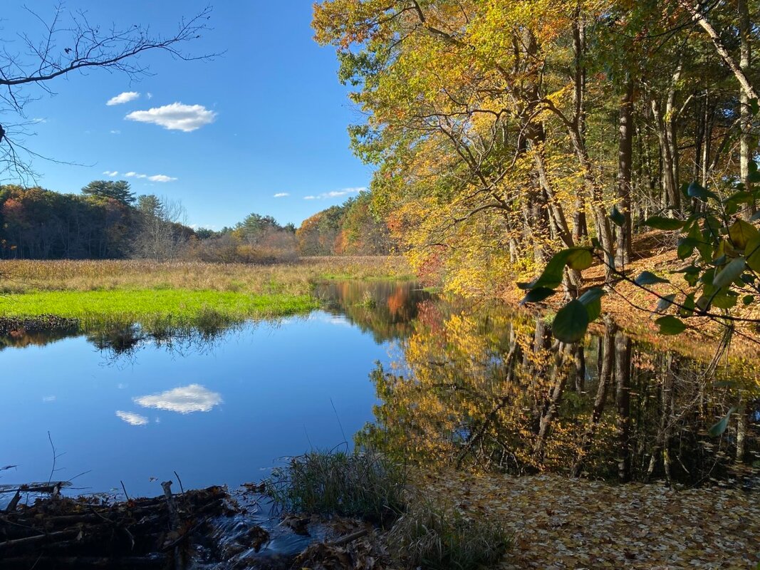
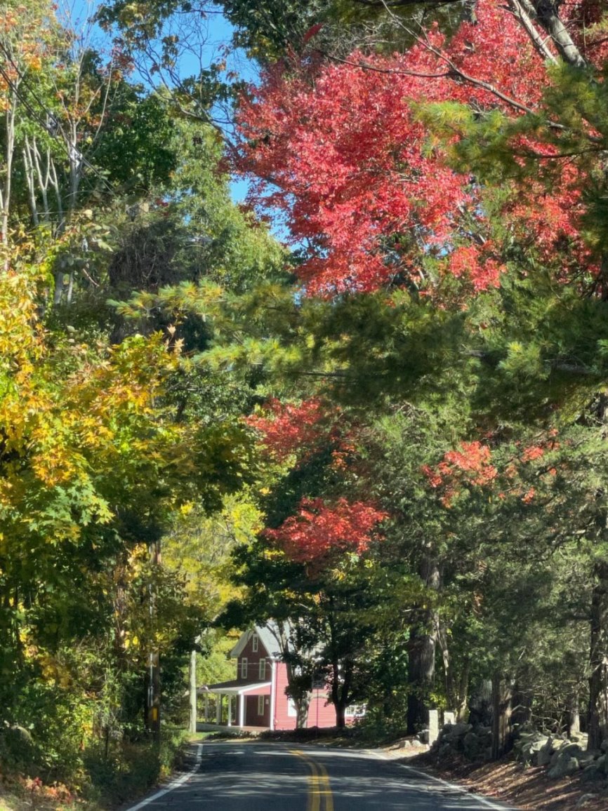
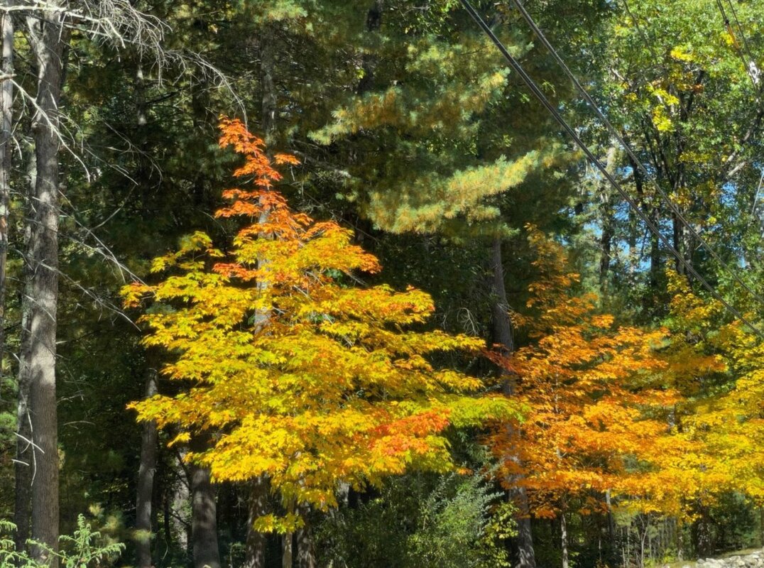
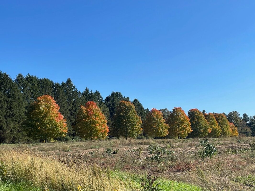
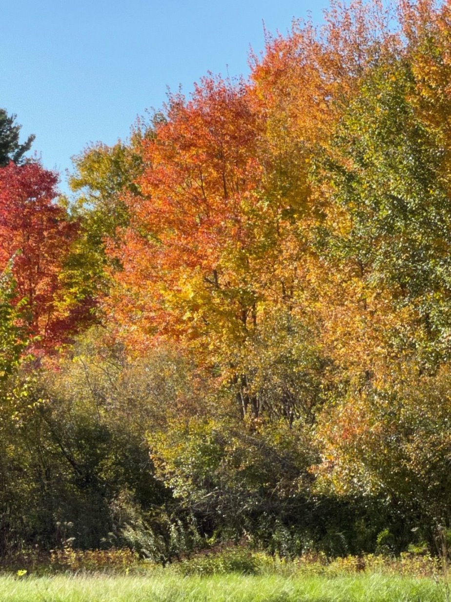
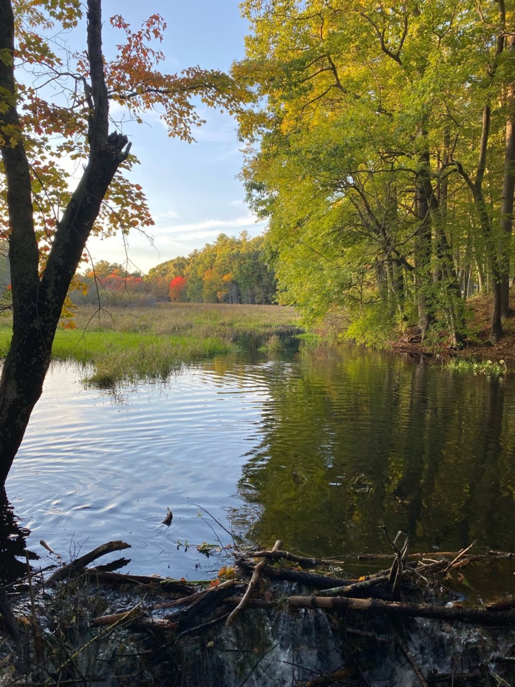
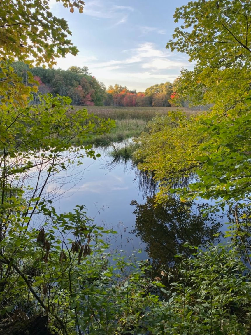
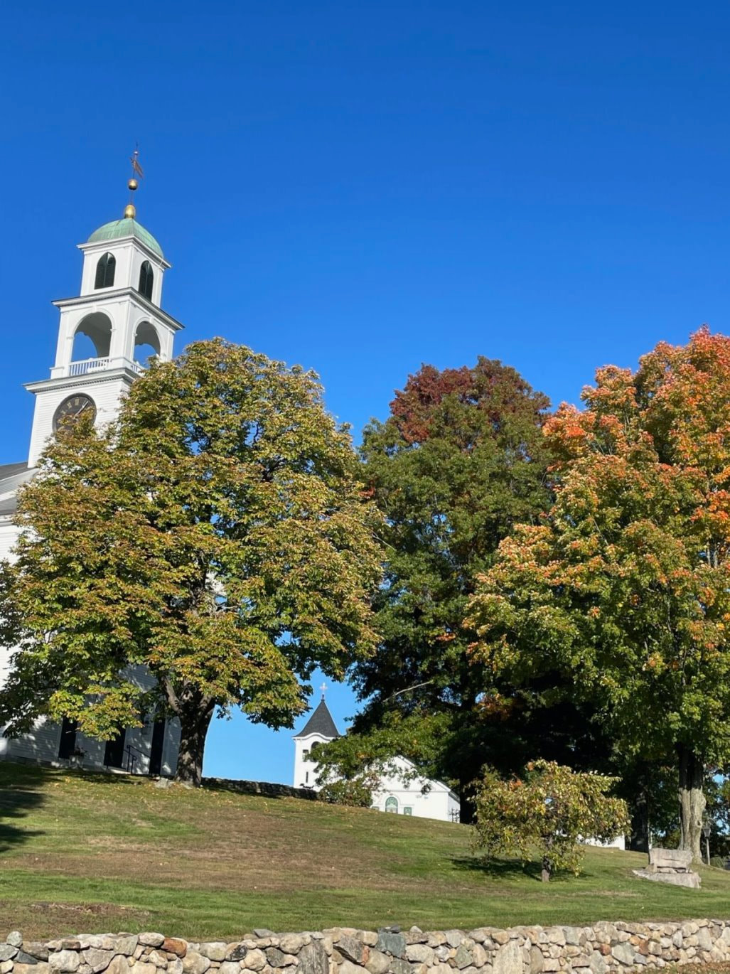
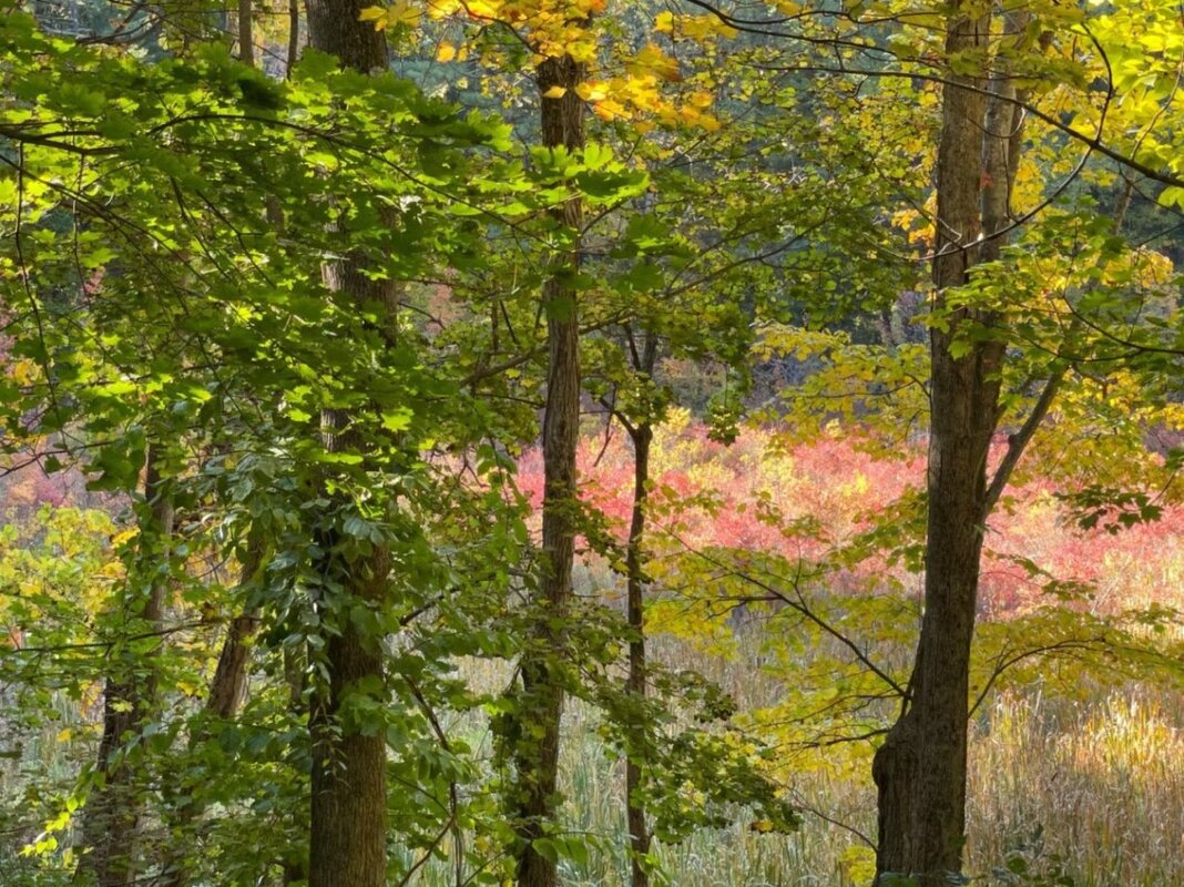
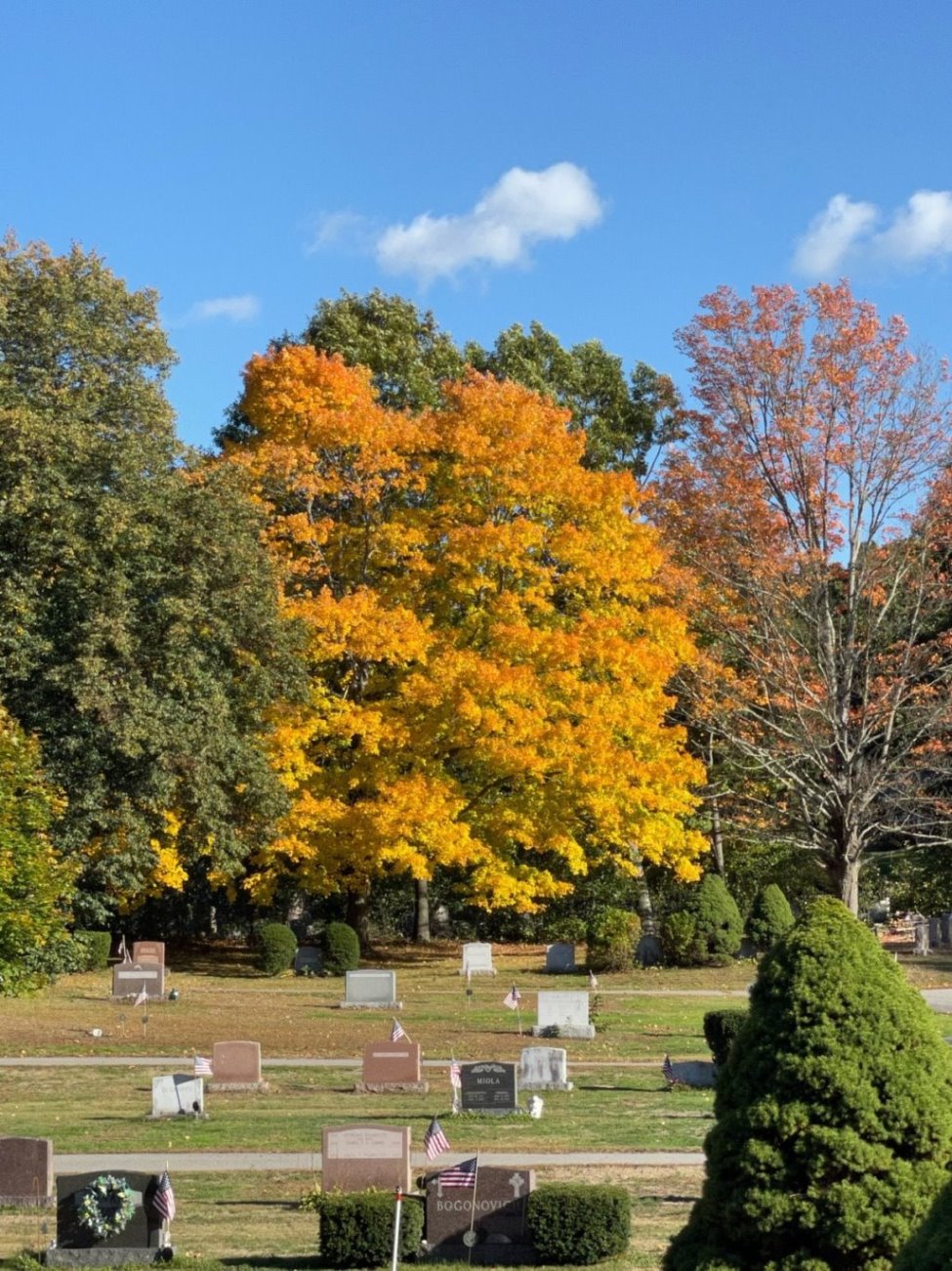
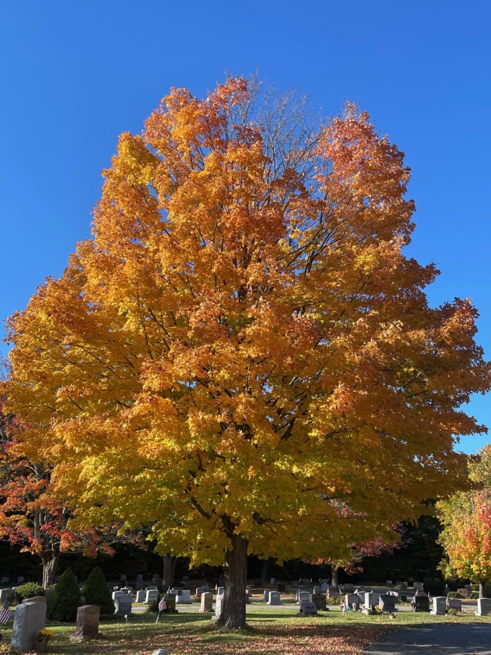
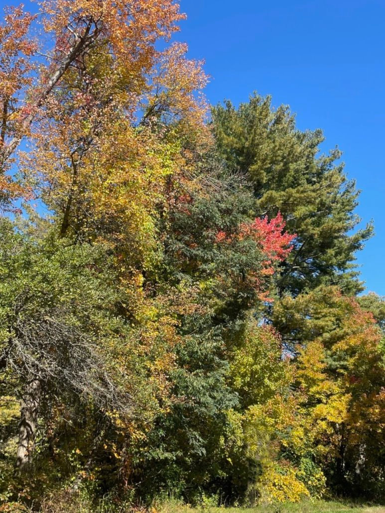
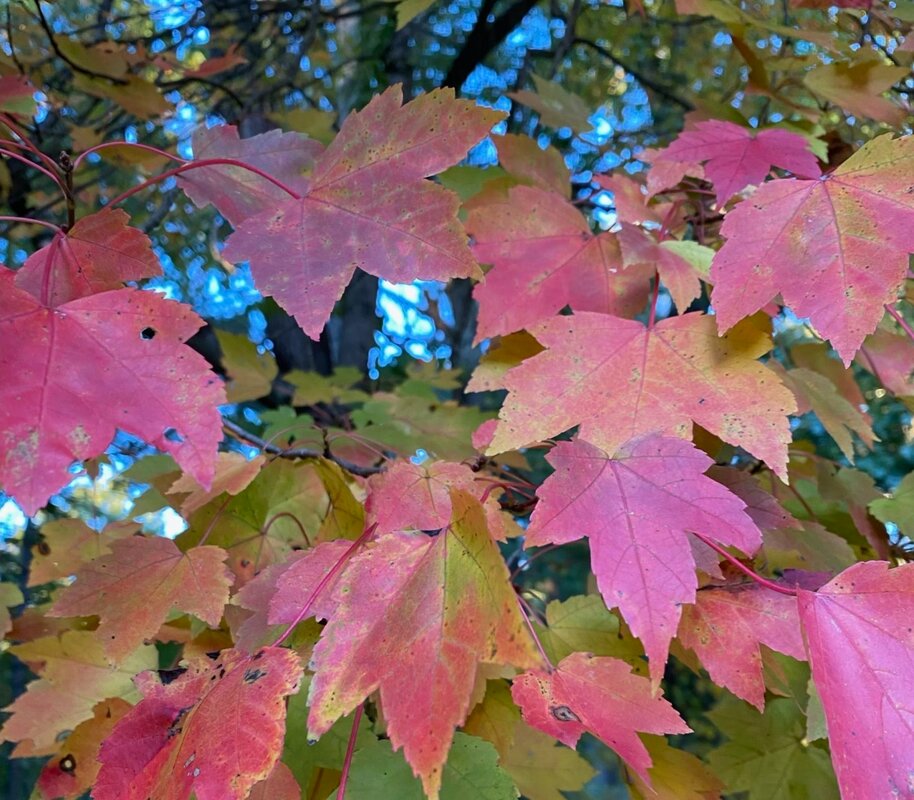
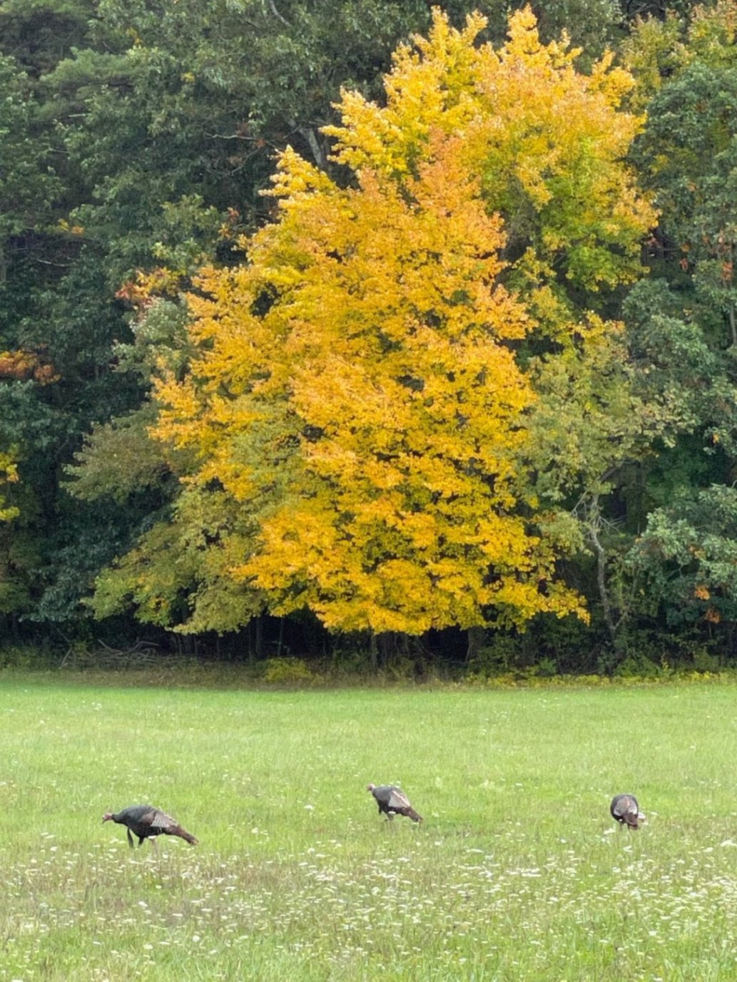
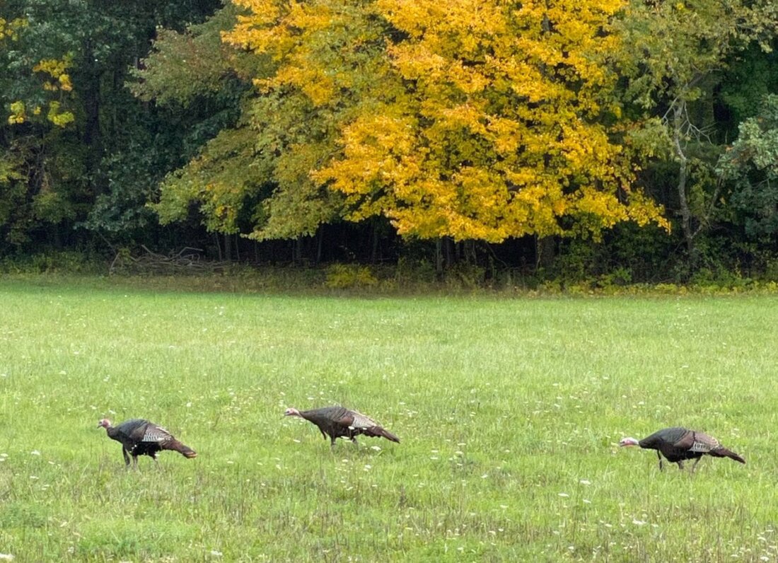
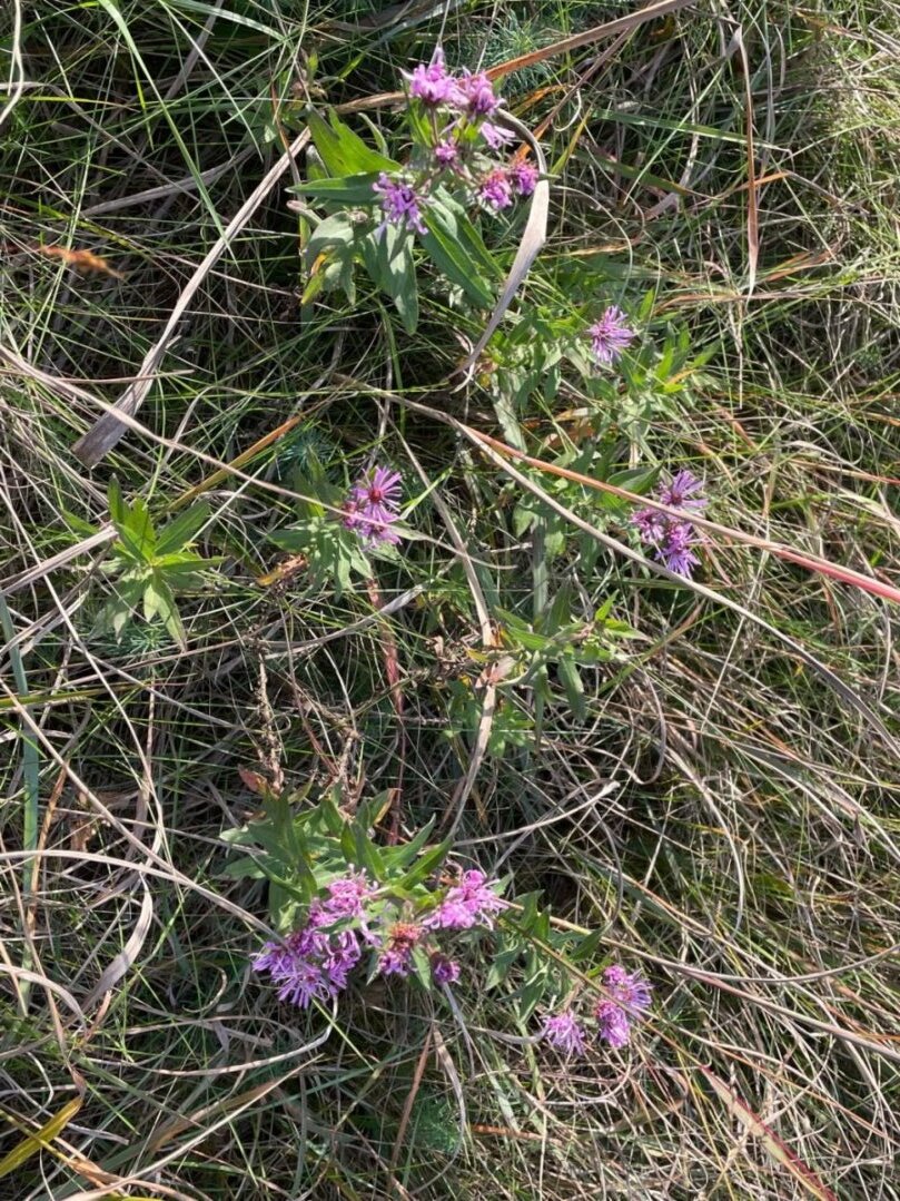
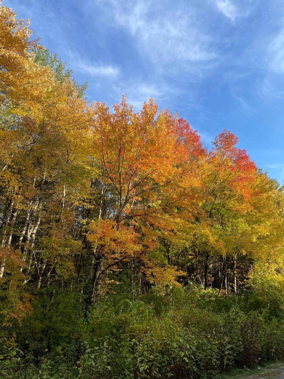
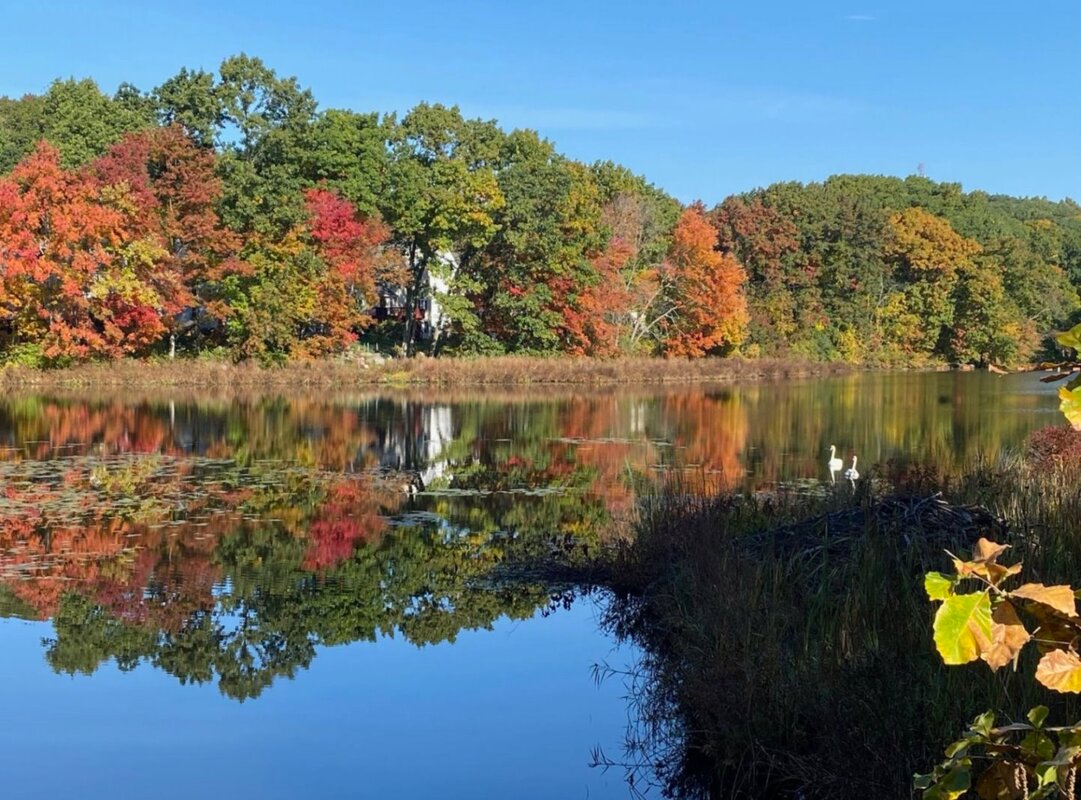
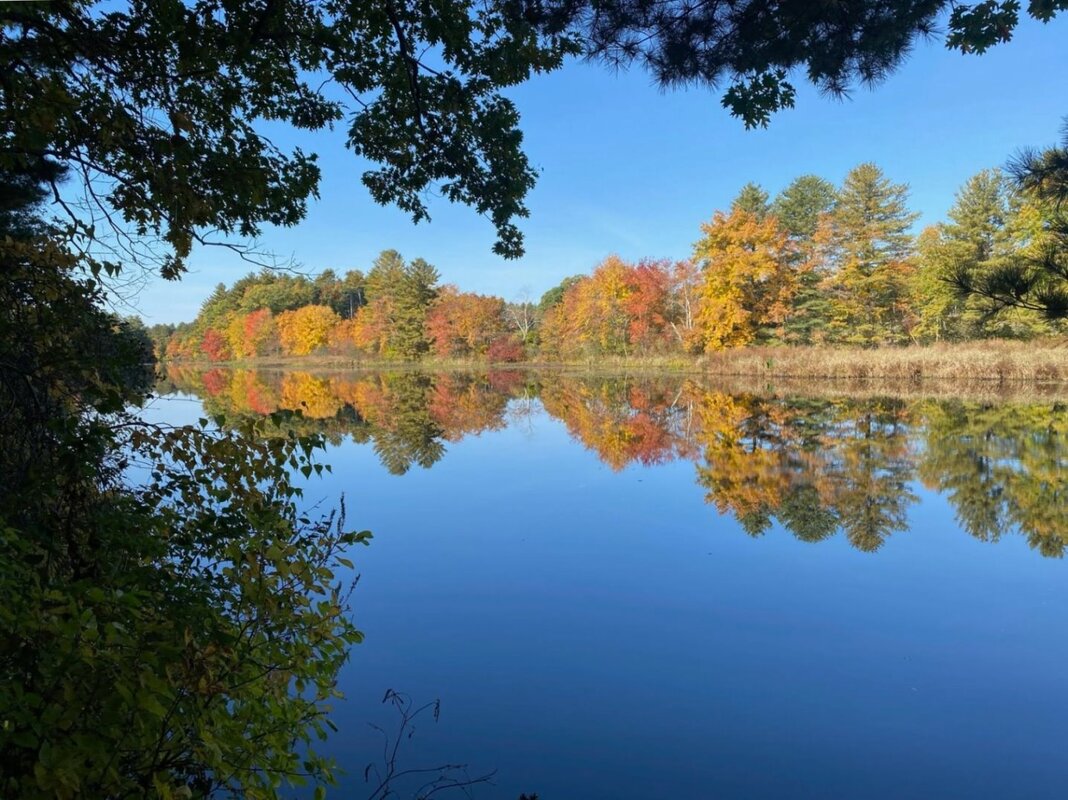
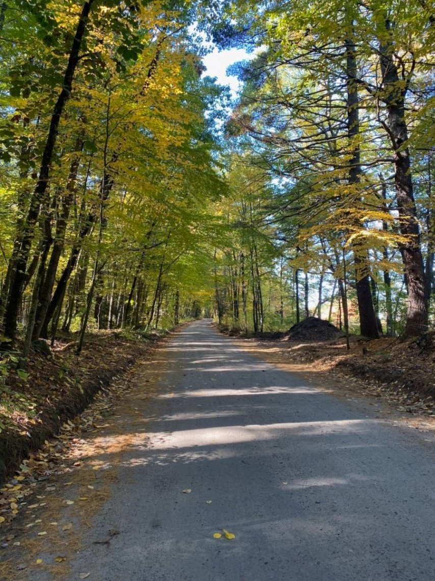
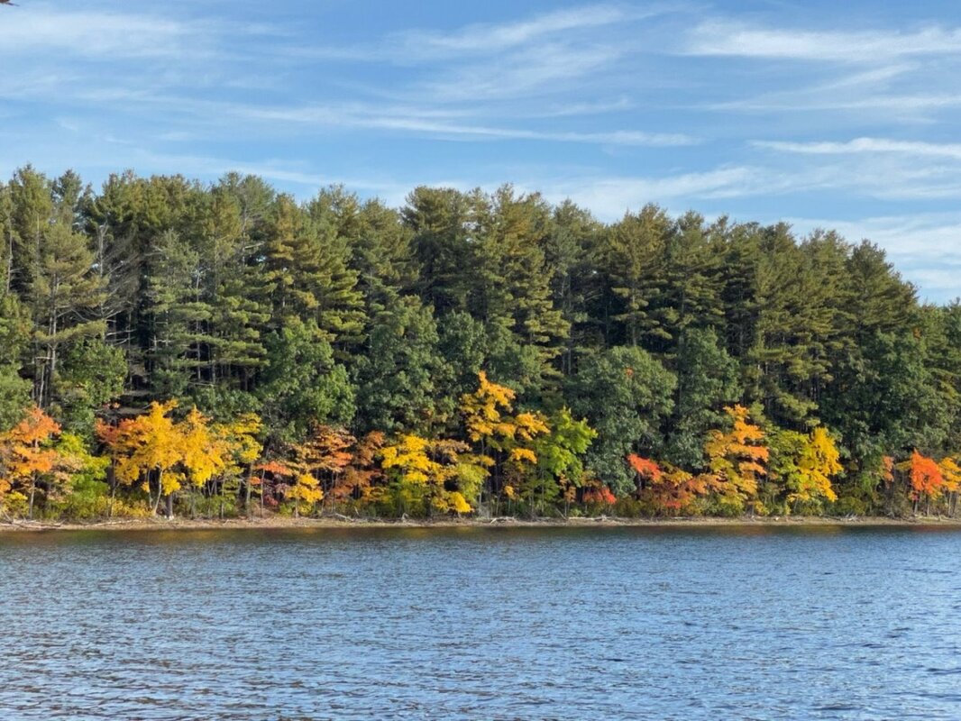
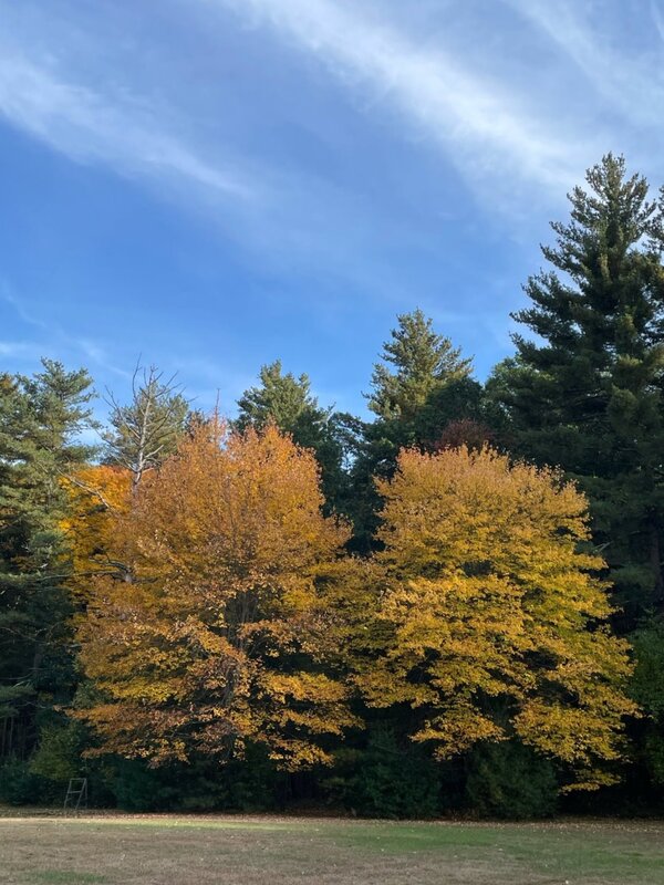
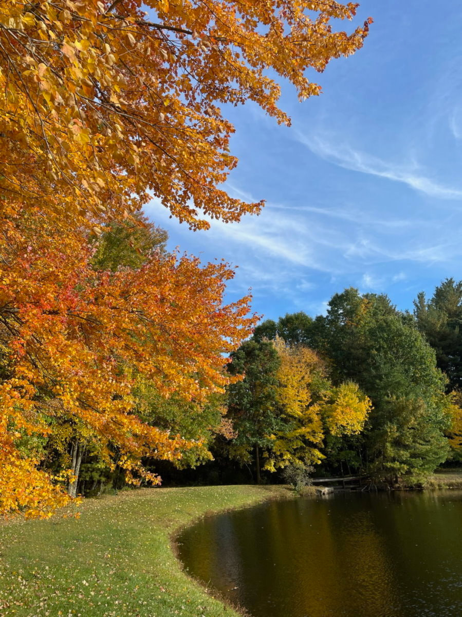
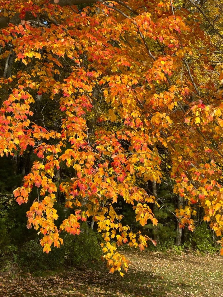
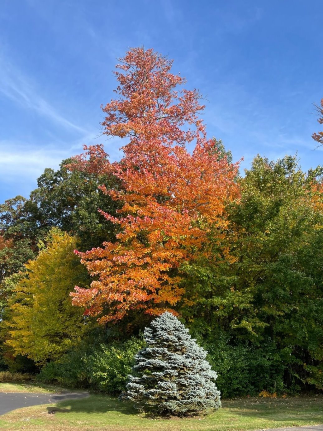
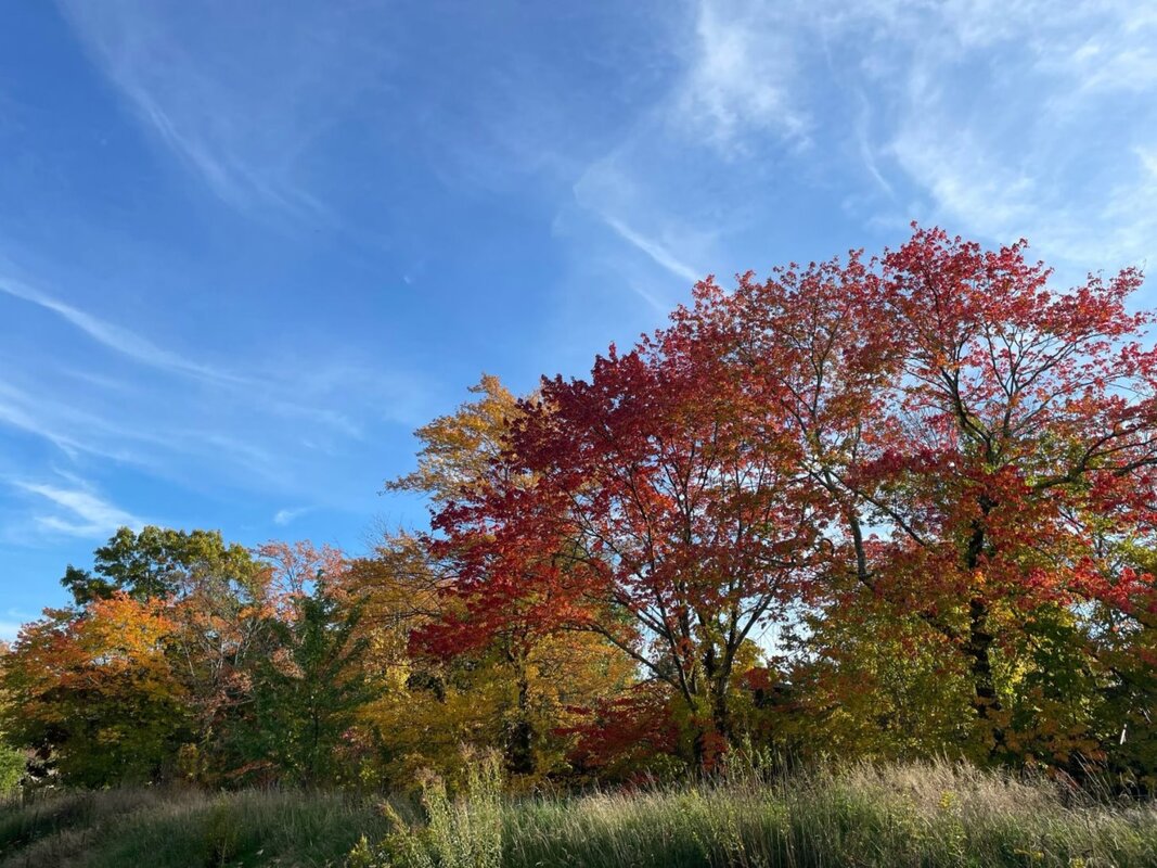
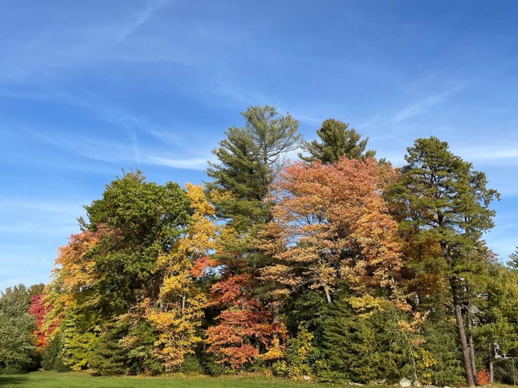
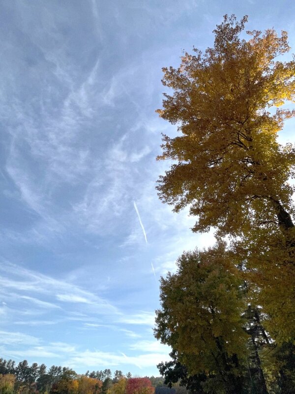
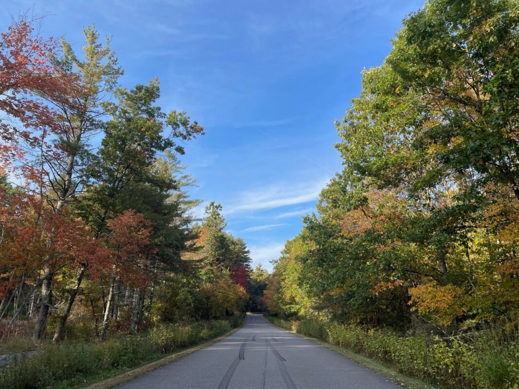
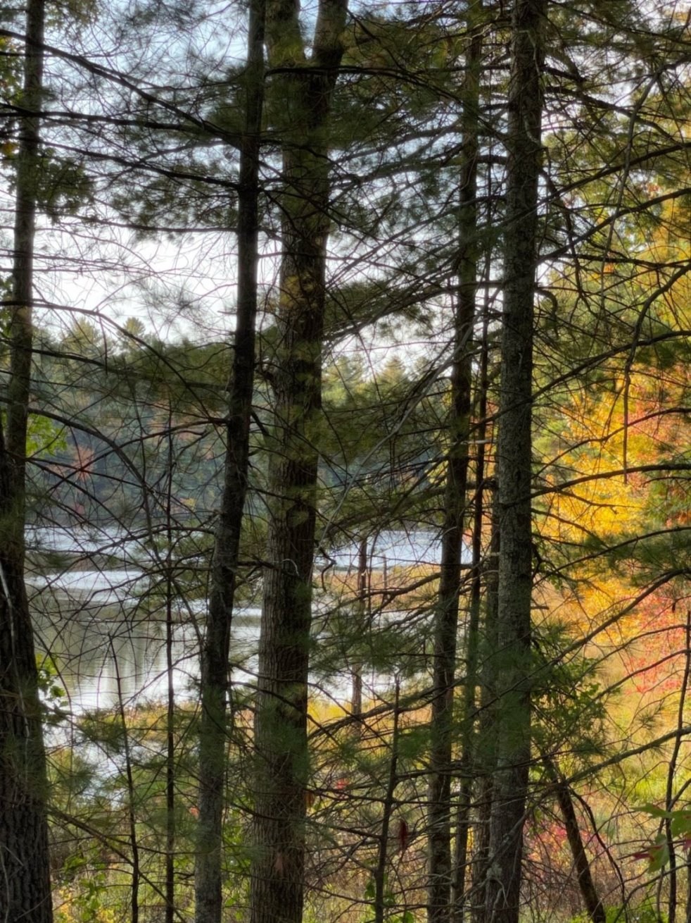
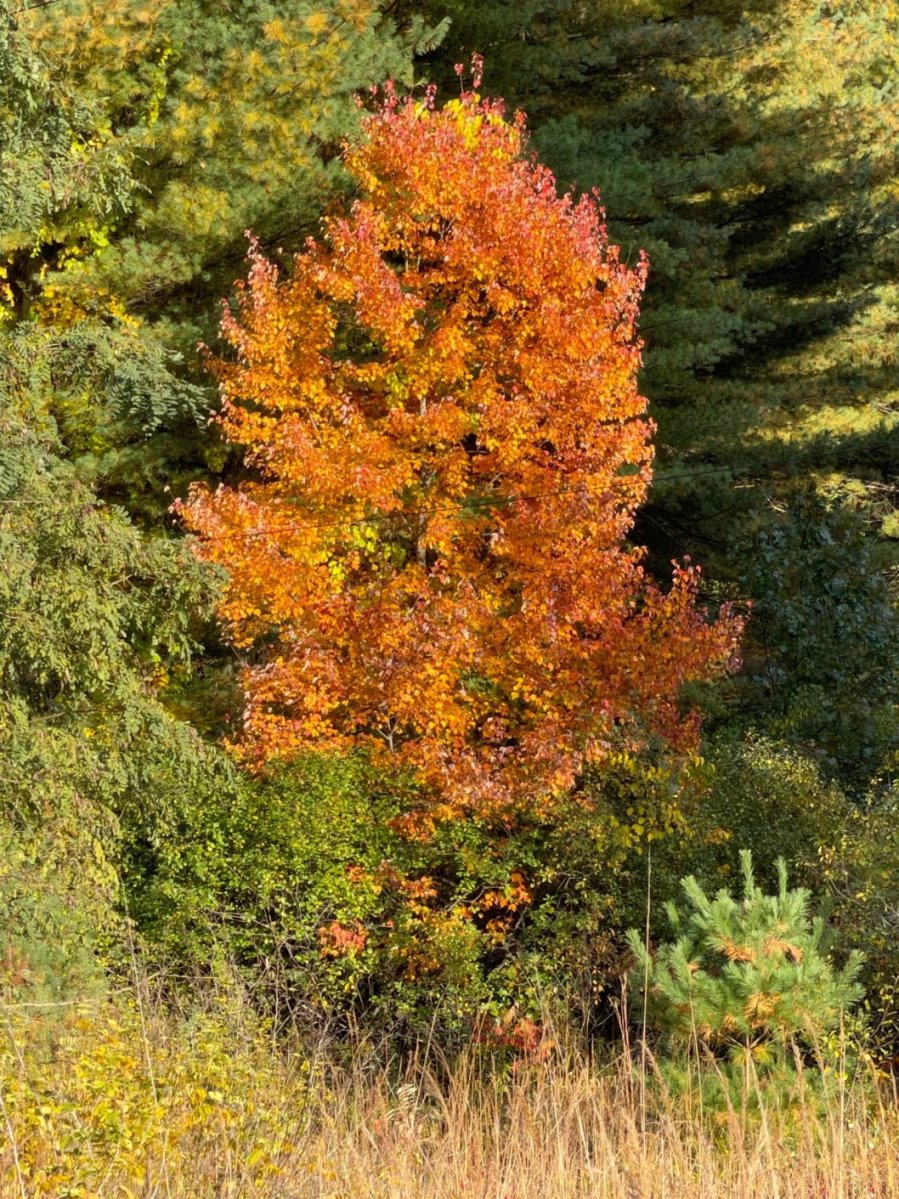
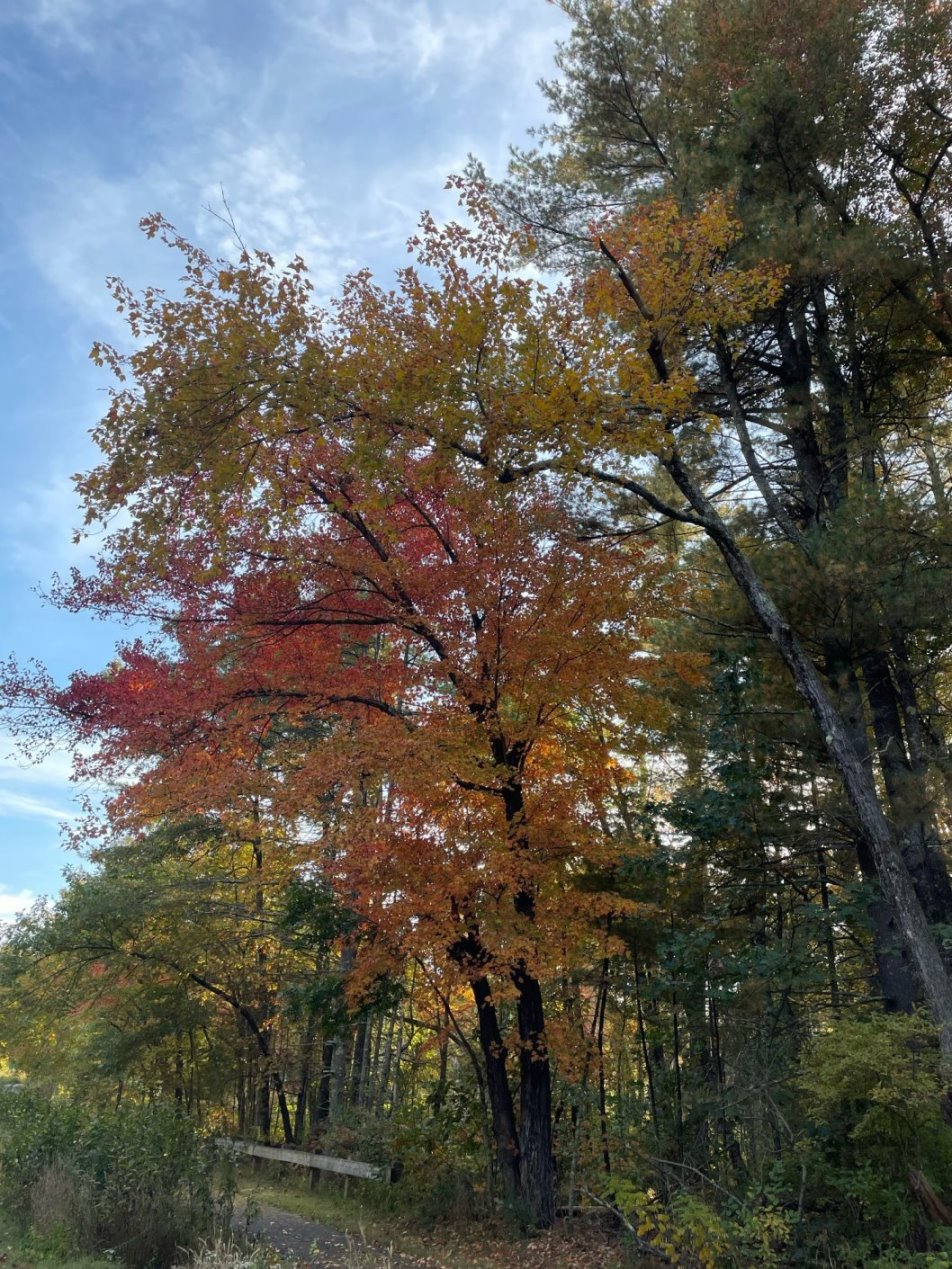
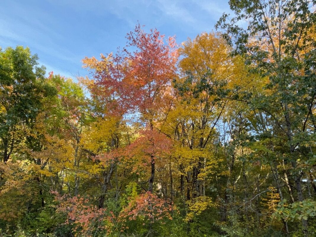
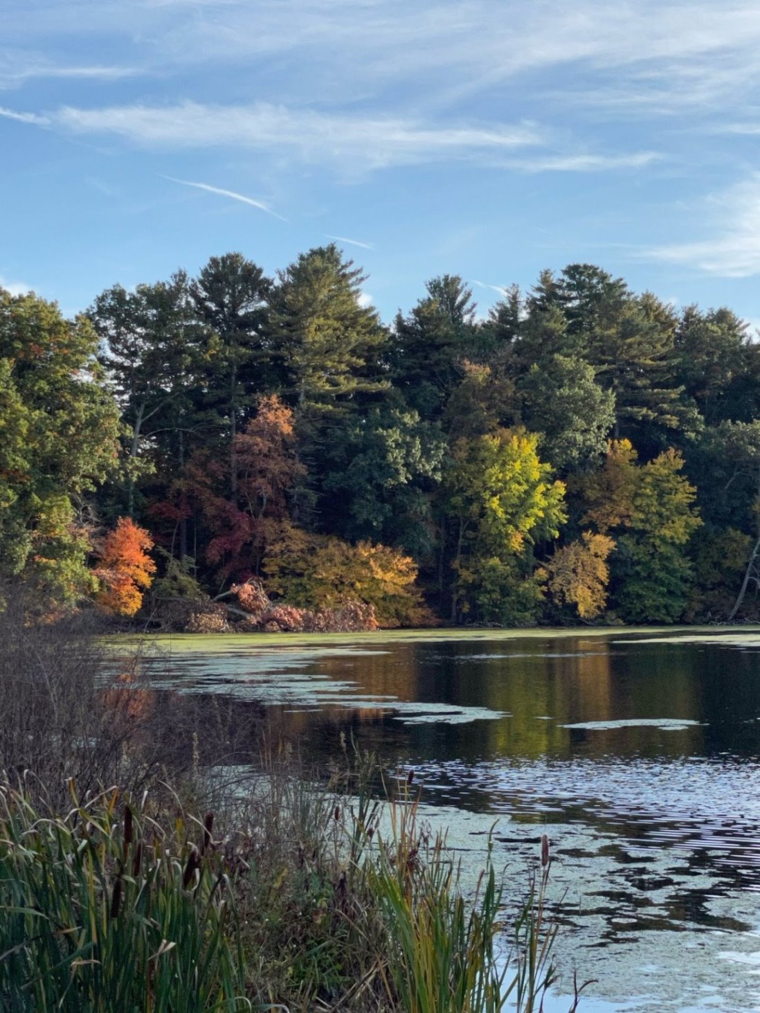
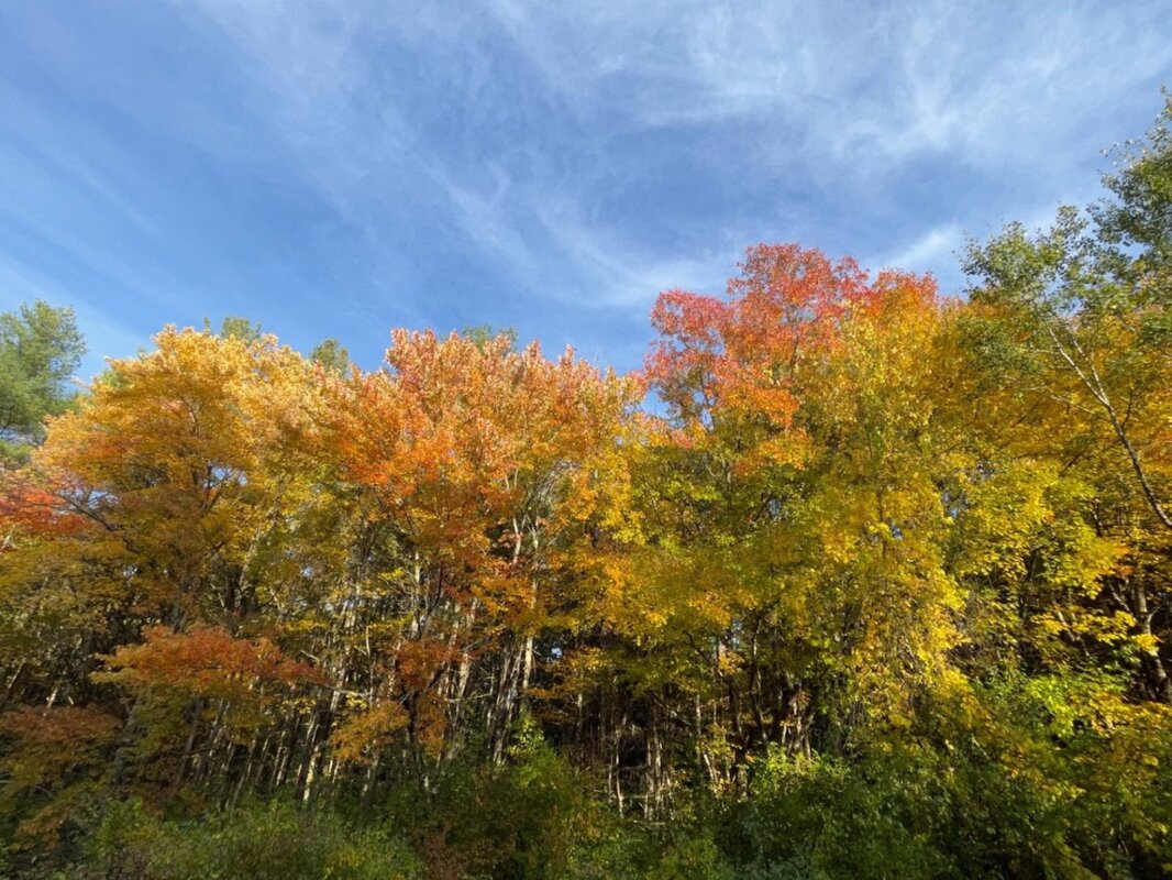
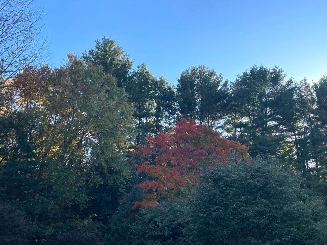
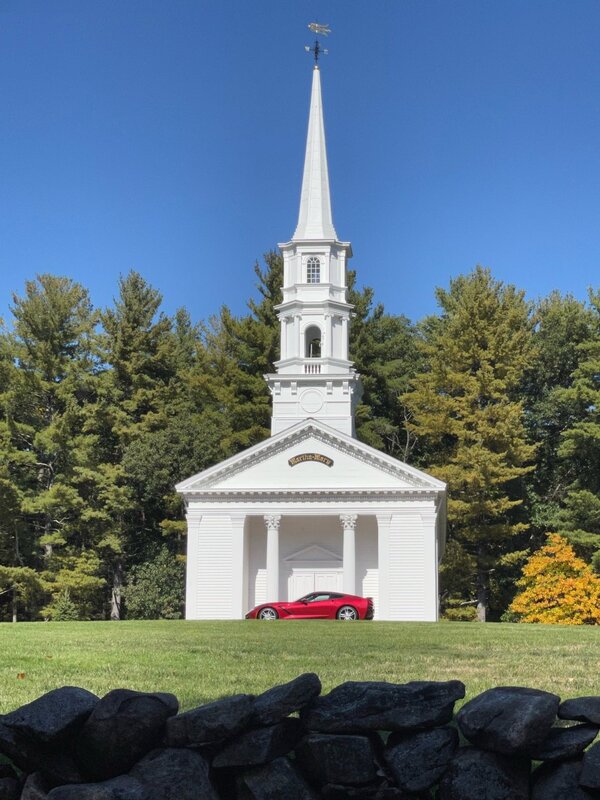
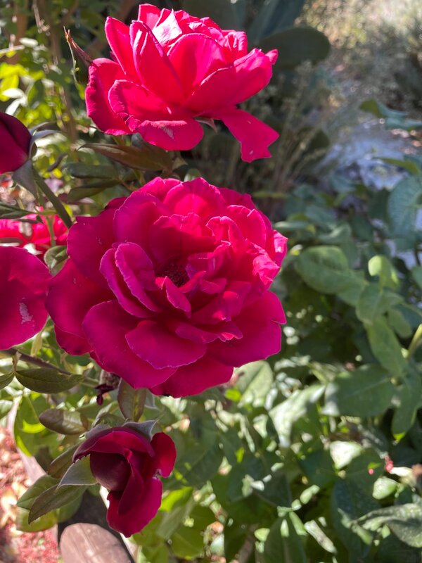
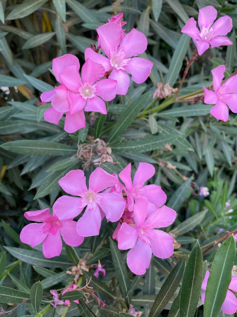
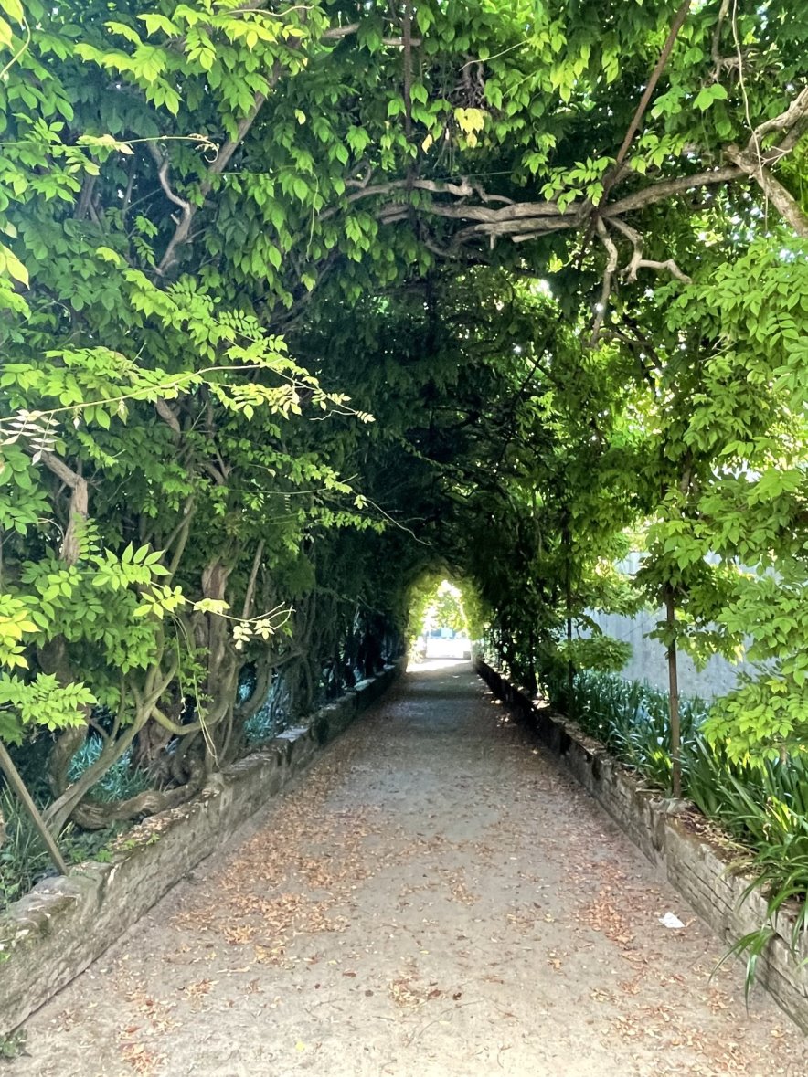
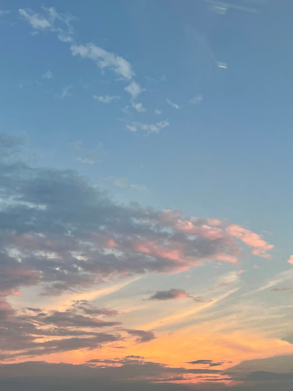
Walking in a Fall Fantasyland
As if the Fall leaf colors weren’t enough, we even saw a group of turkeys out for a stroll. It's always funny. We see the turkeys in October and early November - but the week before Thanksgiving they all seem to disappear; I think that they have that week marked on their calendar and go hide out.
“Leaf Peepers” travel from all over the world to see New England’s amazing colors in the Fall - all we have to do is hike in our town and the surrounding areas.......
Here are a few photos that attempt to capture the breathtaking beauty of nature. (click on any photo to start the slideshow):


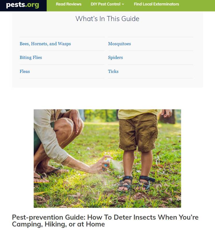
The Ultimate Pest-prevention Guide: How To Deter Insects From Overruling Your Person, Outdoor Gear, and Home
As always, there’s lots of information out there on the internet – as long as you have the time to search for it. Fortunately for us, last week Thomas from pests.org dropped us an email with a link to an article of theirs that they had recently updated for 2022:
“The Ultimate Pest-prevention Guide: How To Deter Insects From Overruling Your Person, Outdoor Gear, and Home”
- Bees, Hornets, and Wasps
- Mosquitoes
- Biting Flies
- Spiders
- Fleas
- Ticks
We really like that the article has three sections with detailed information about each of the pests listed above:
- Health Risks of the pests
- Treating Stings from the pests
- Tips for Preventing these pests From Taking Over Your Personal Space
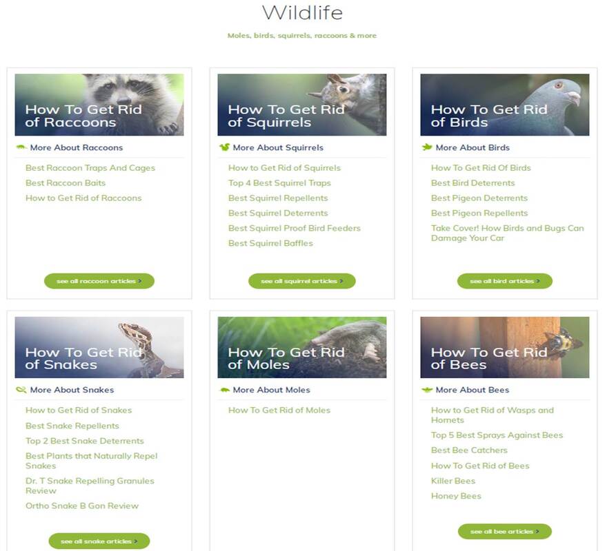
In addition to this great article on pests that traditionally plague hikers and campers, the website also has a ton of information on how to get rid of:
- Bed Bugs
- Rodents
- Termites
- Roaches
- Rats
- Stink Bugs
- Raccoons
- Squirrels
- Birds
- Snakes
- Moles
- Opossums
- Bats
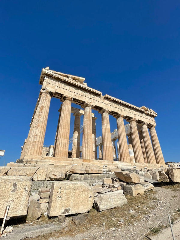
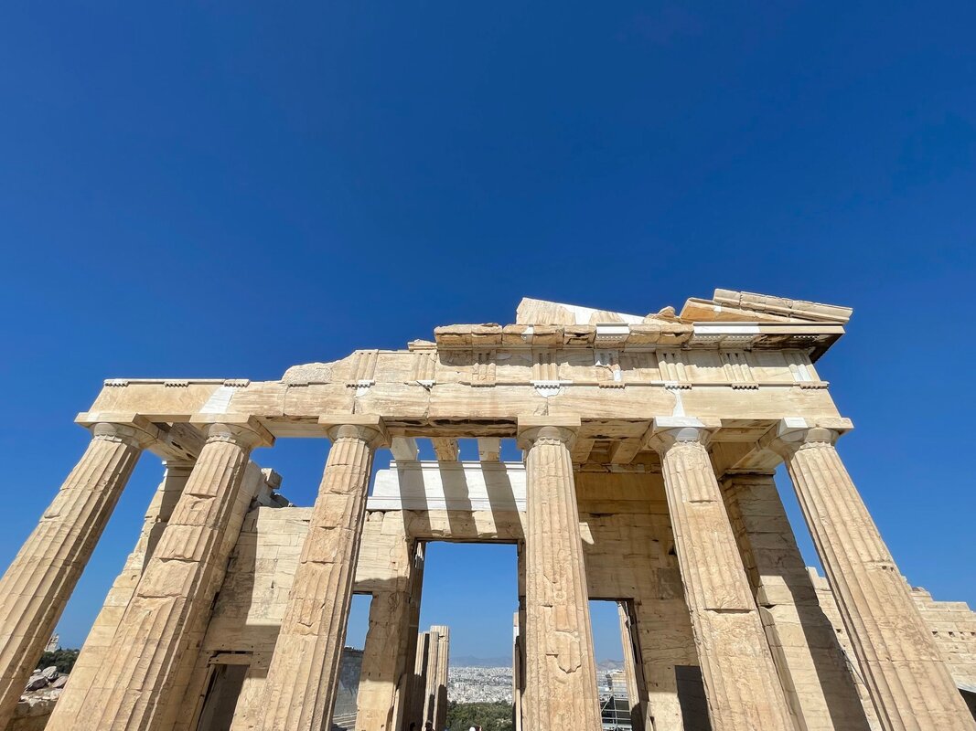
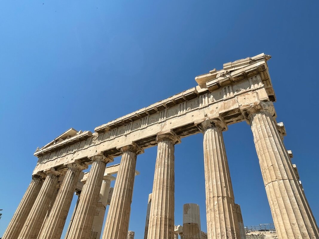
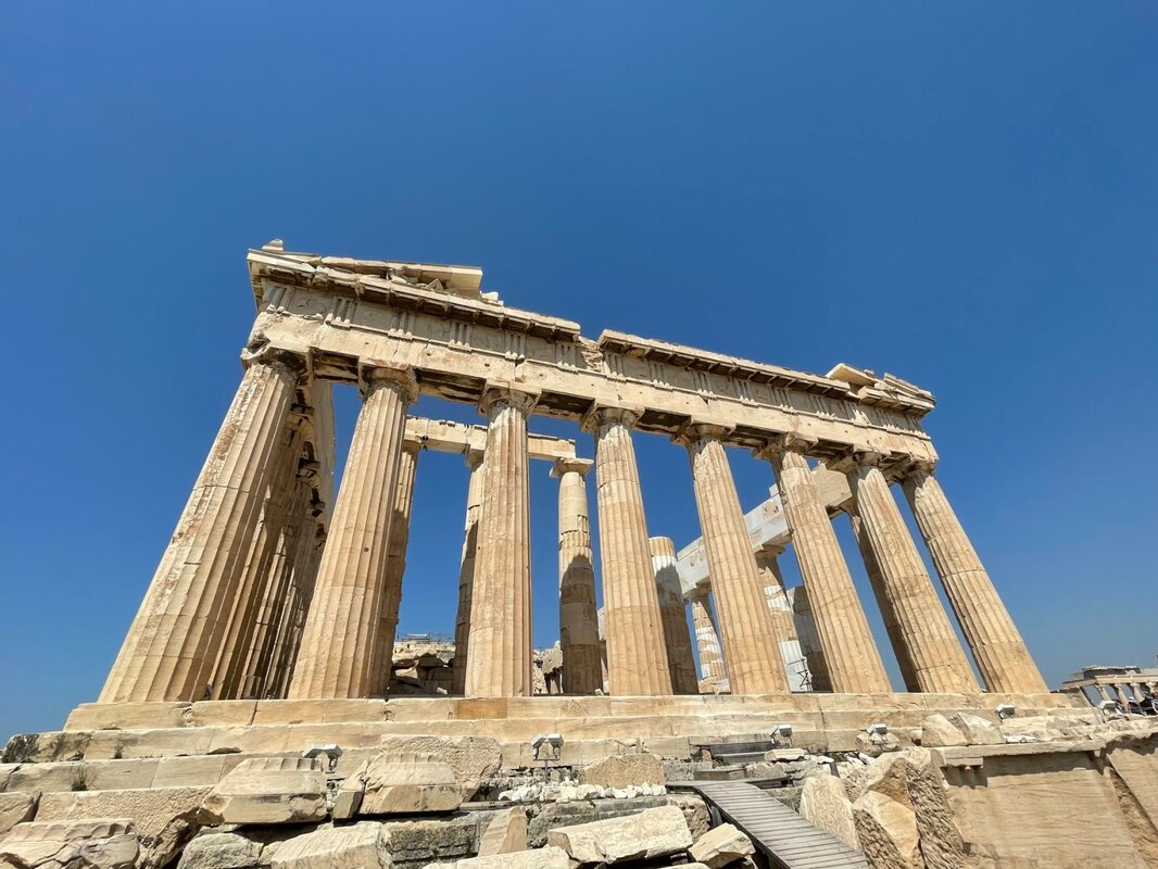
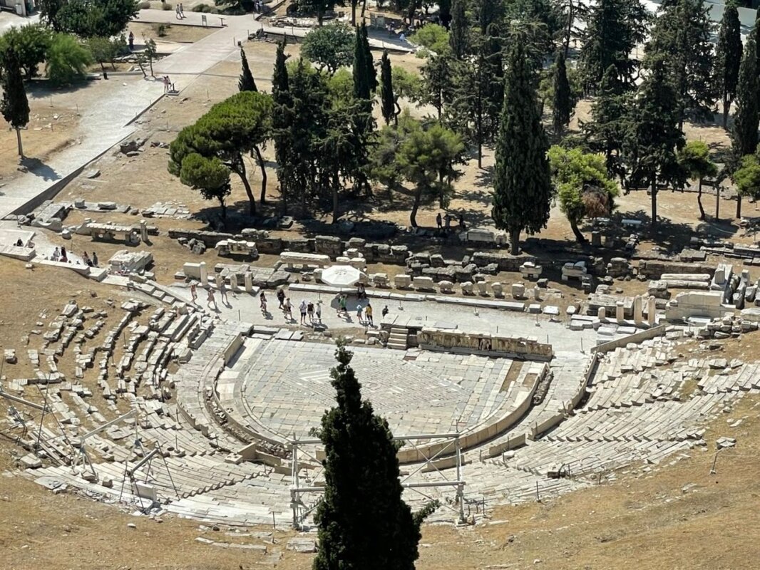
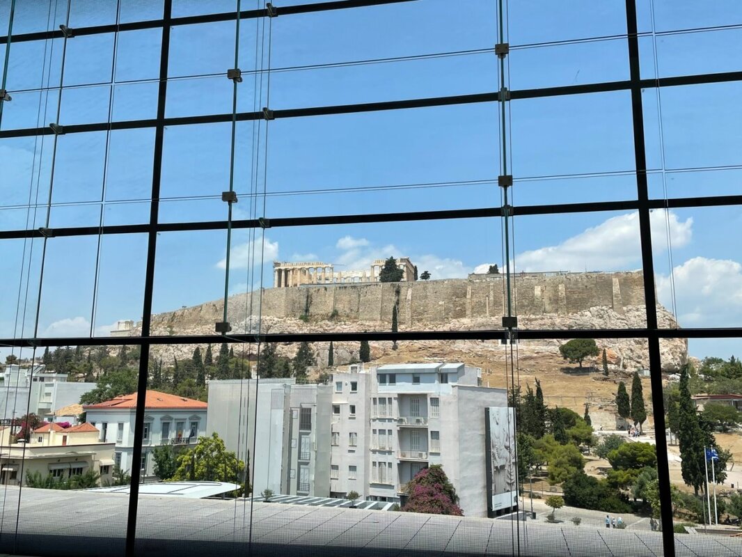
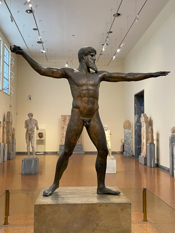
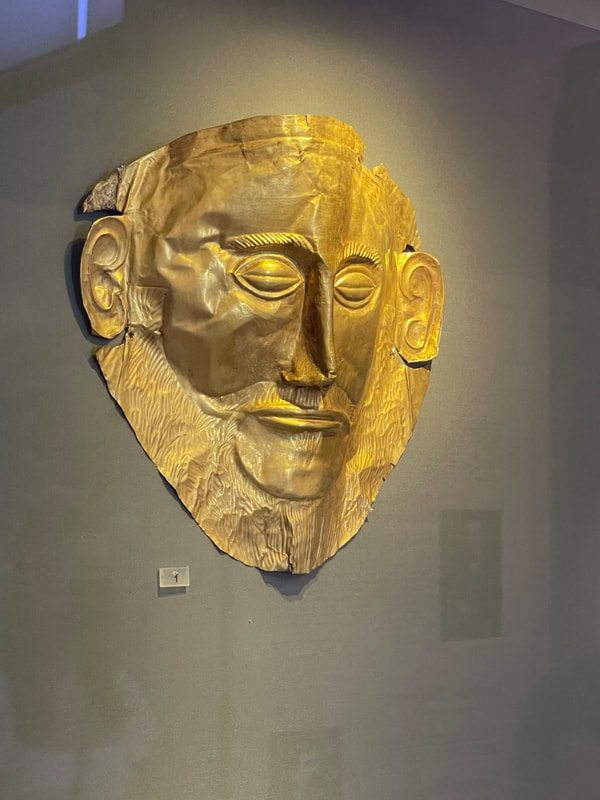
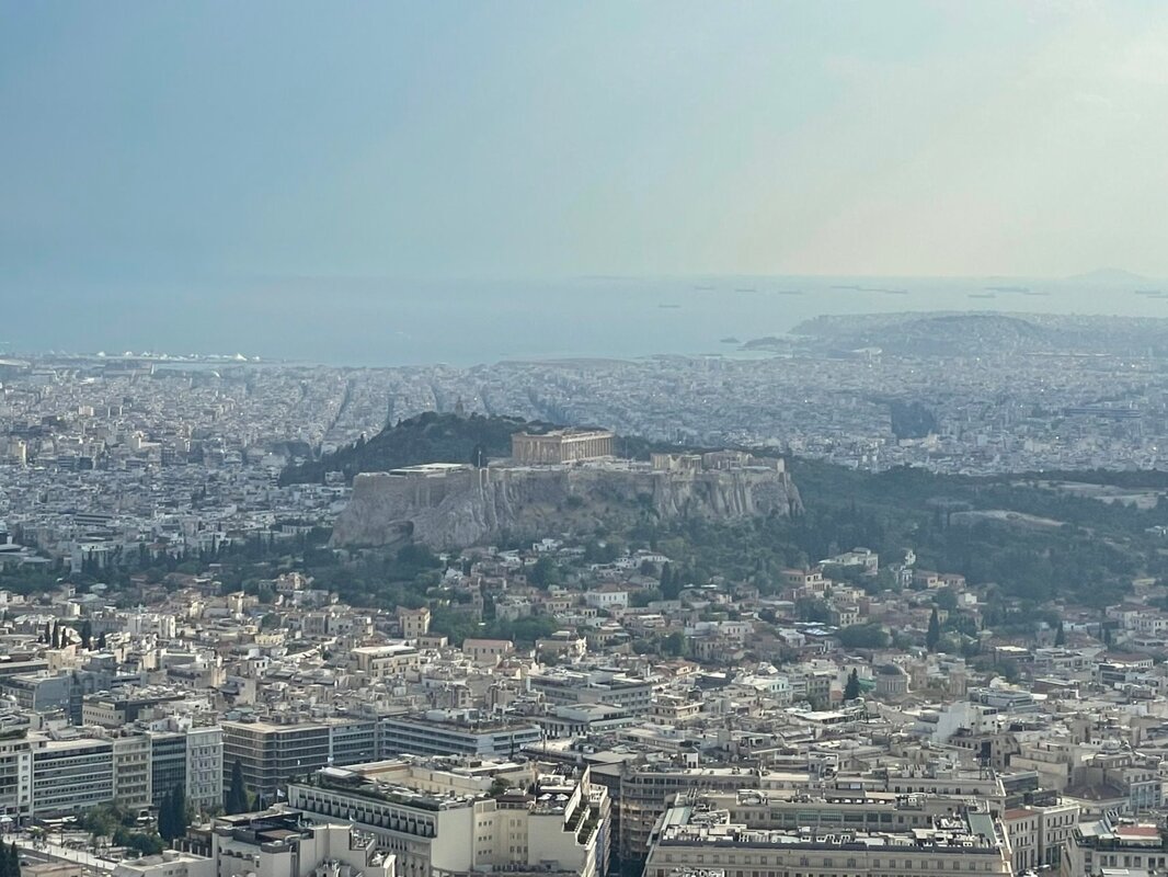
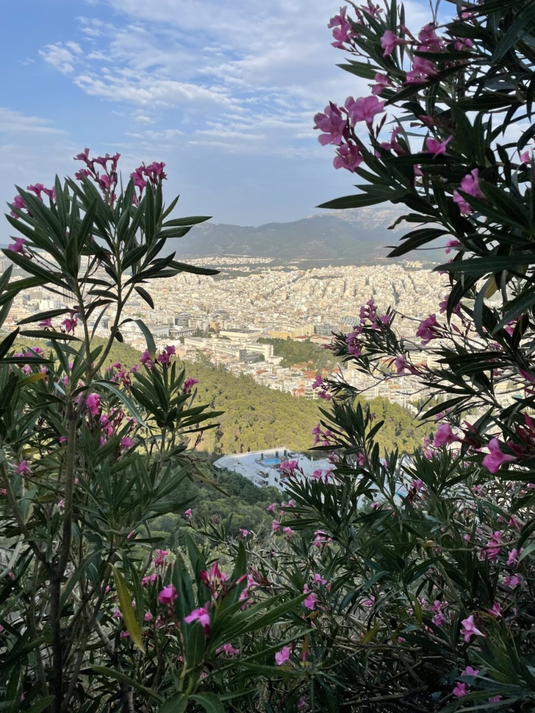
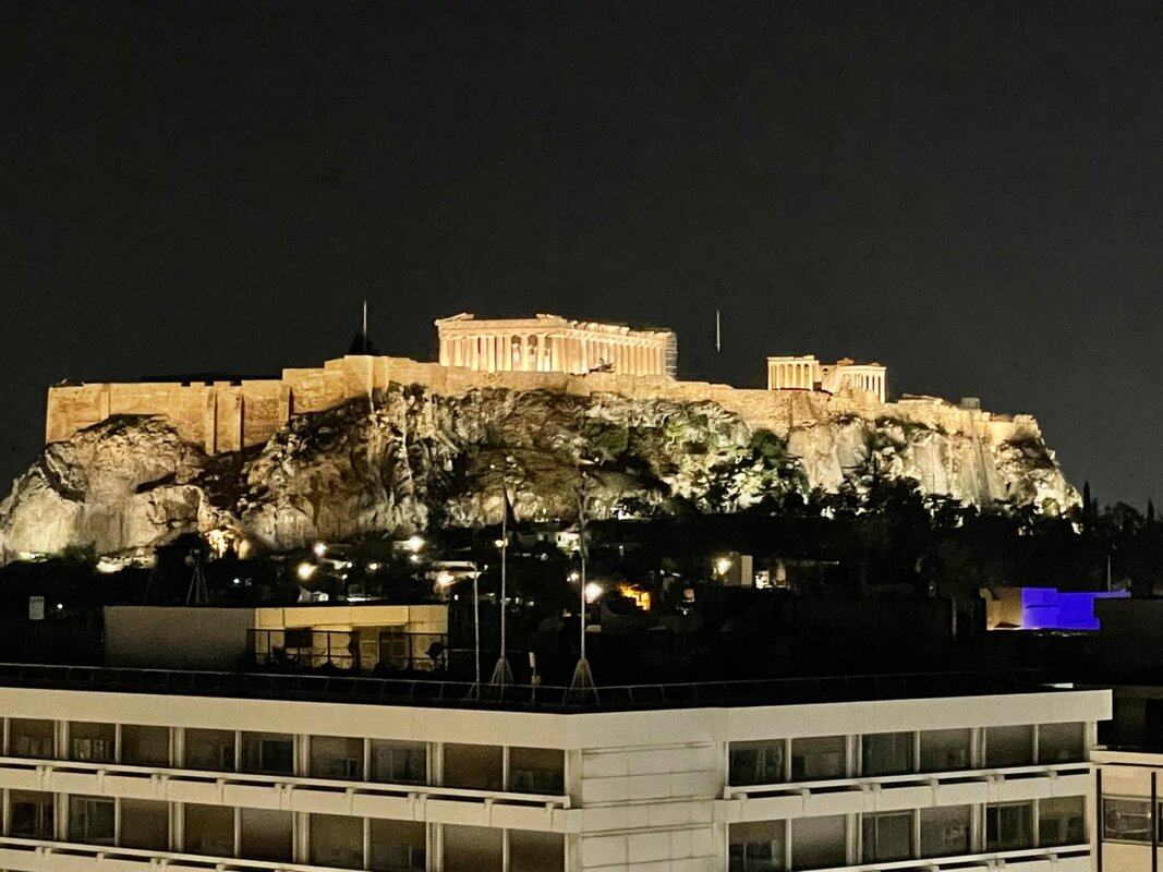
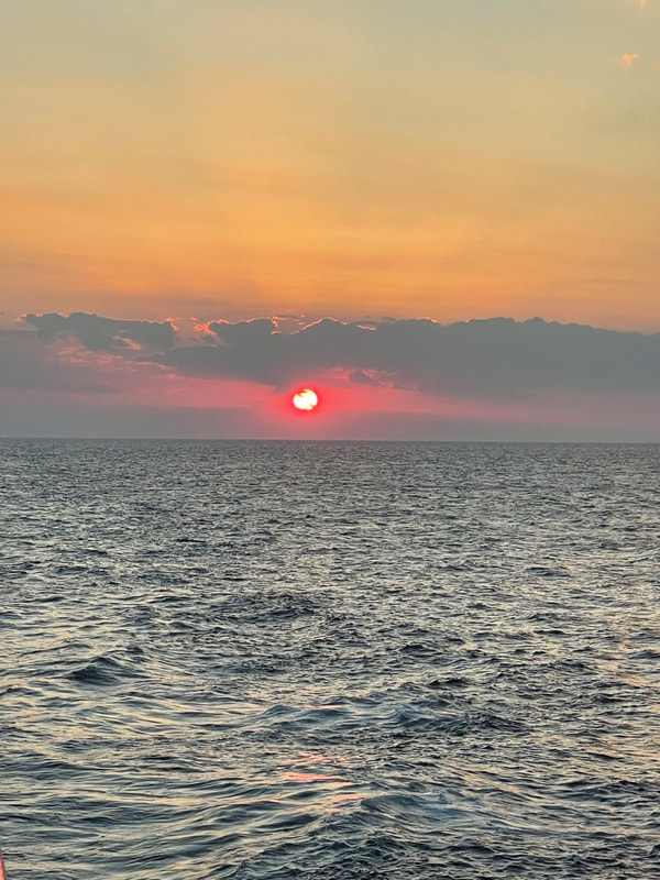
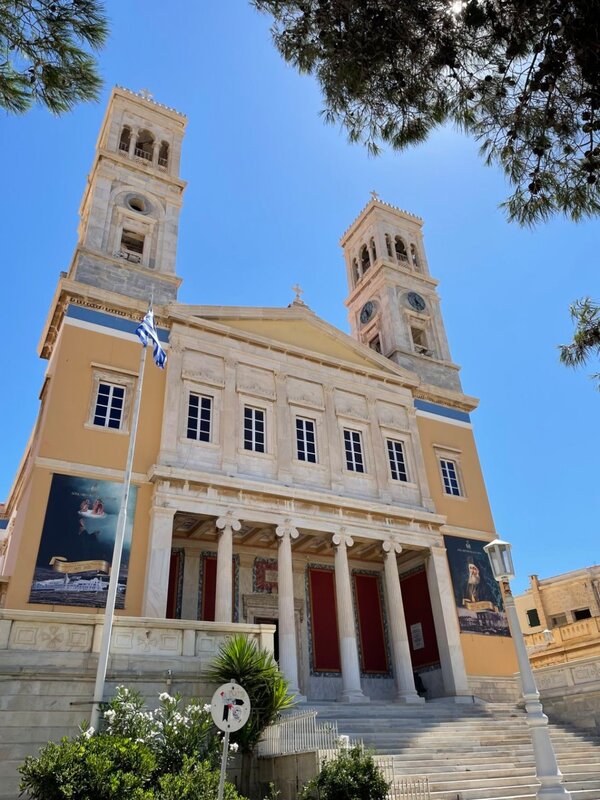
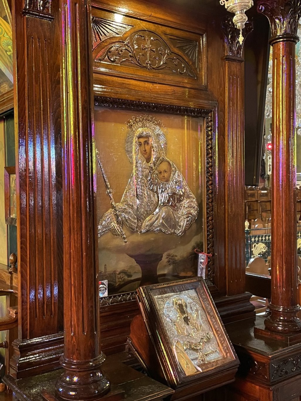
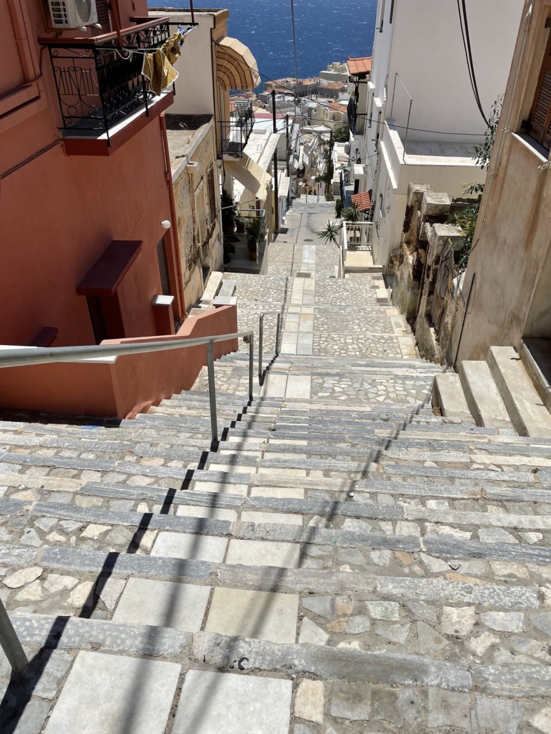
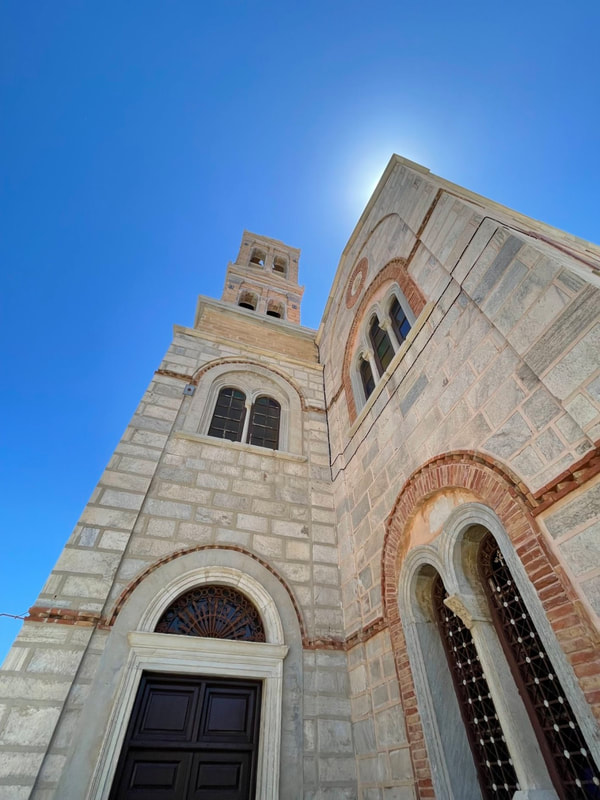
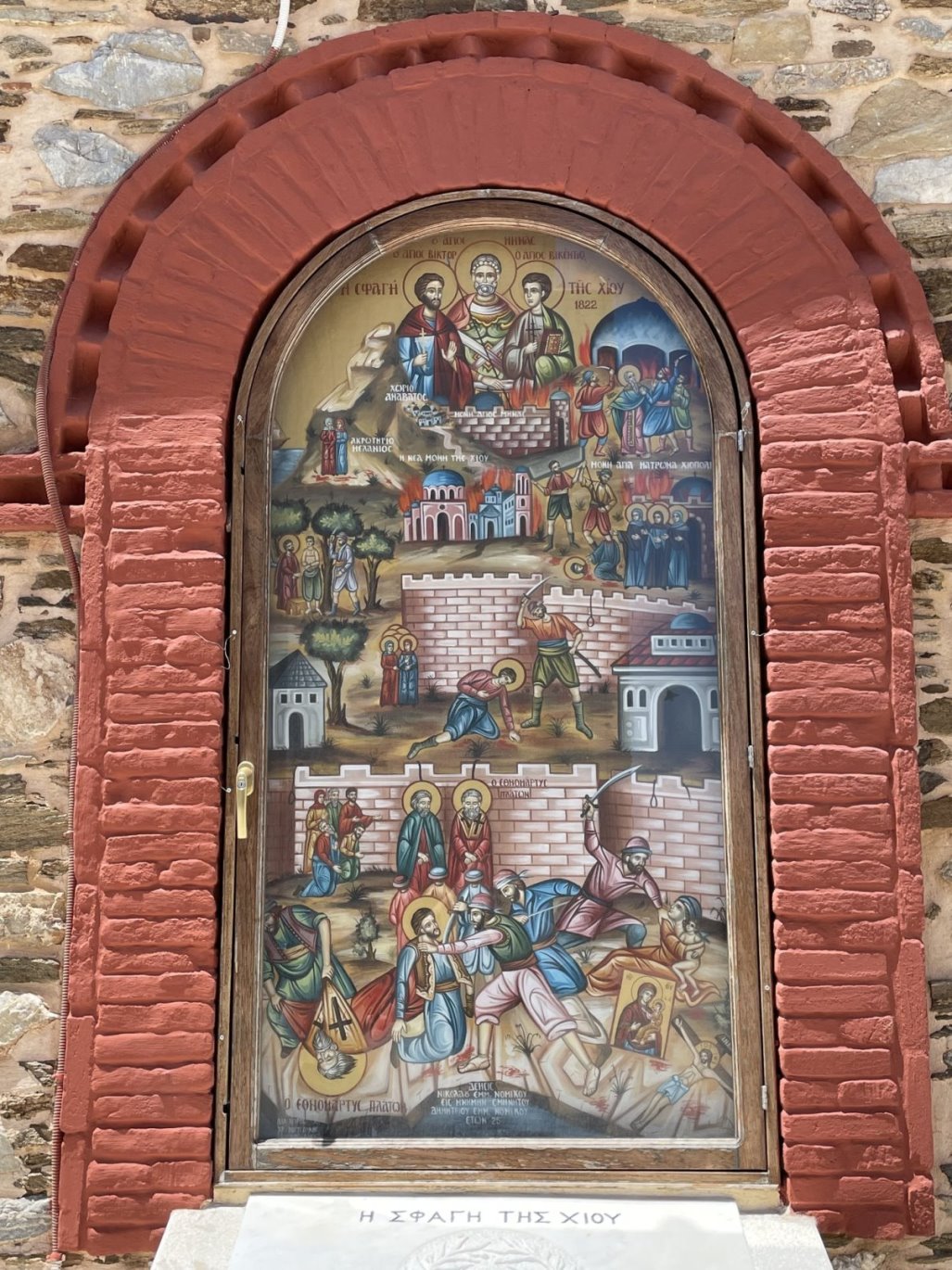
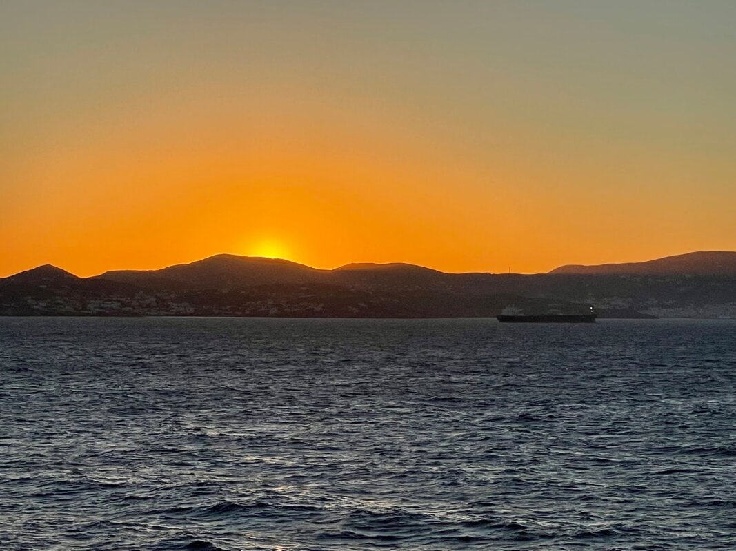
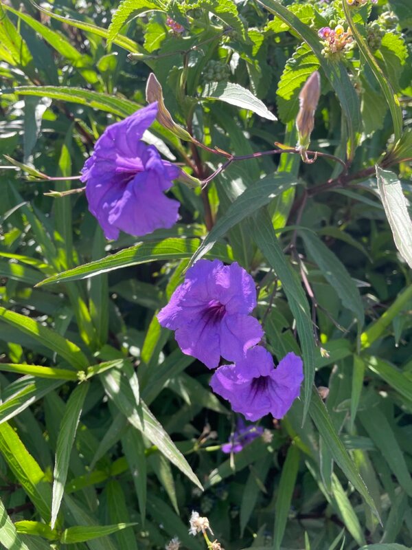
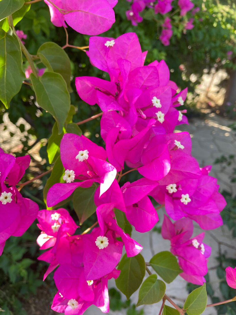
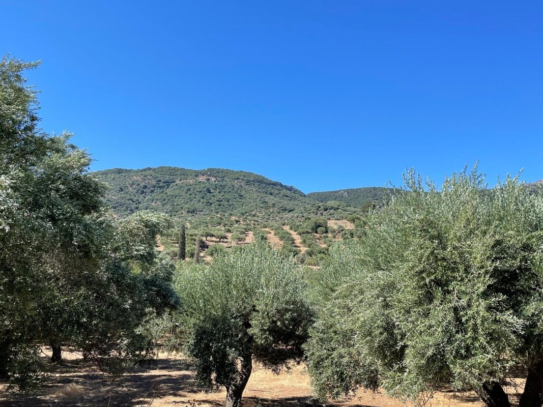
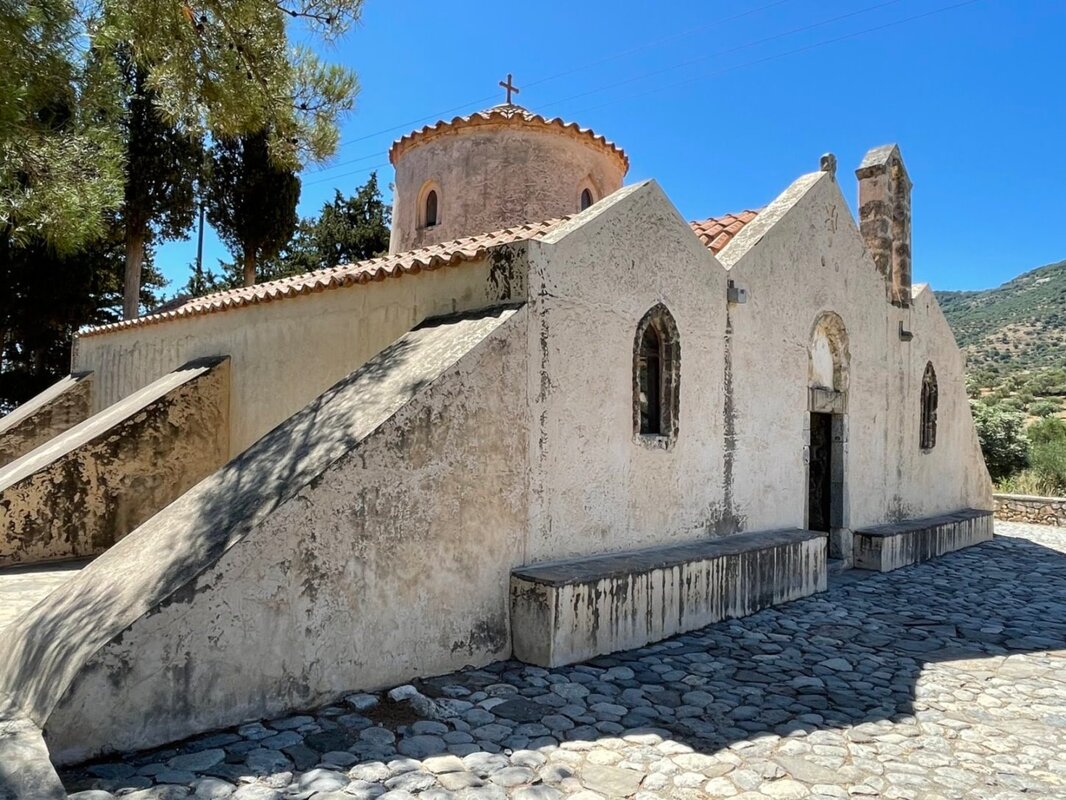
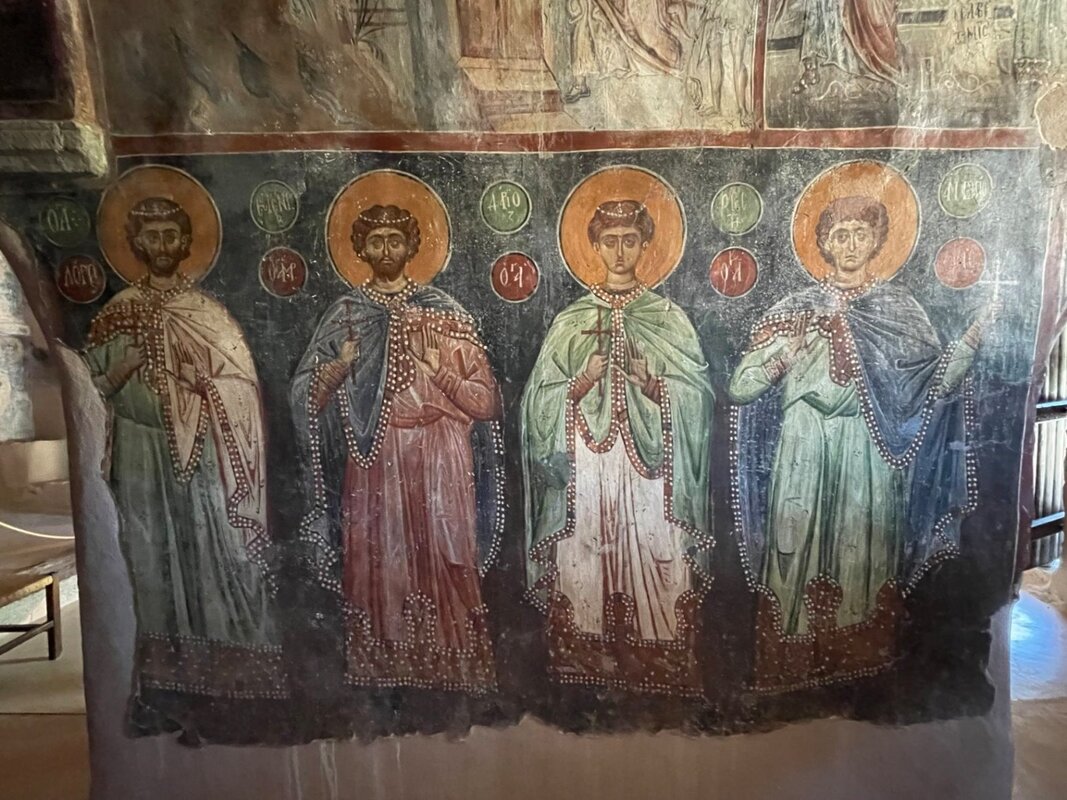
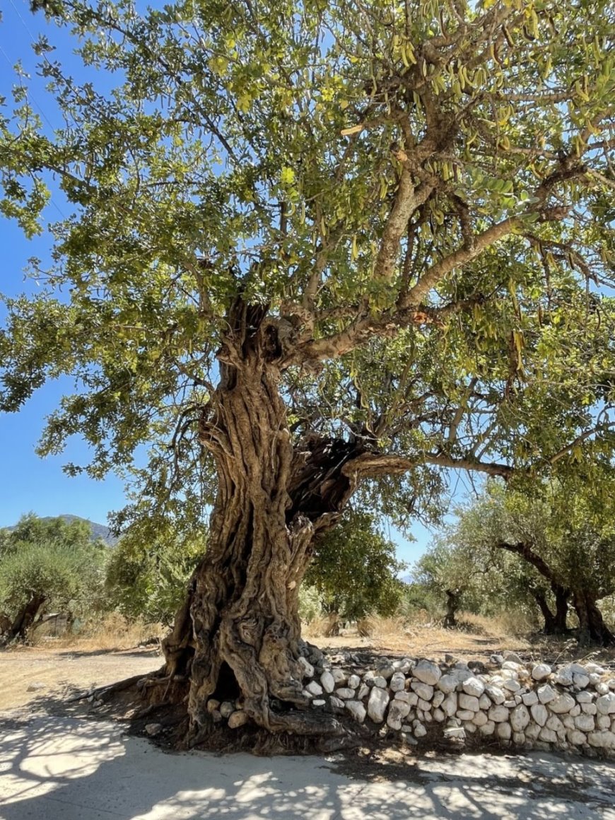
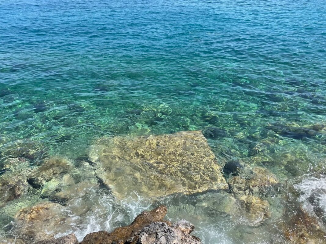
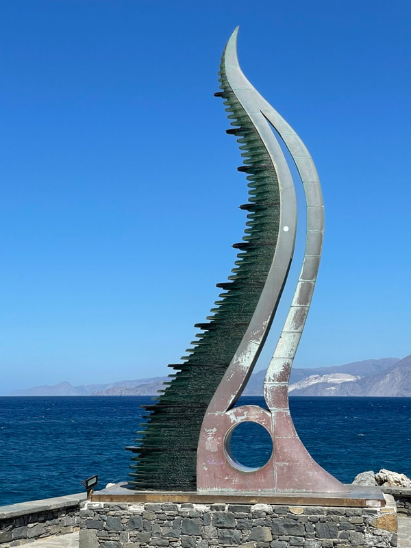
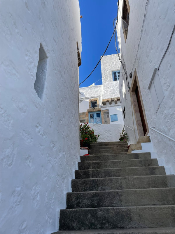
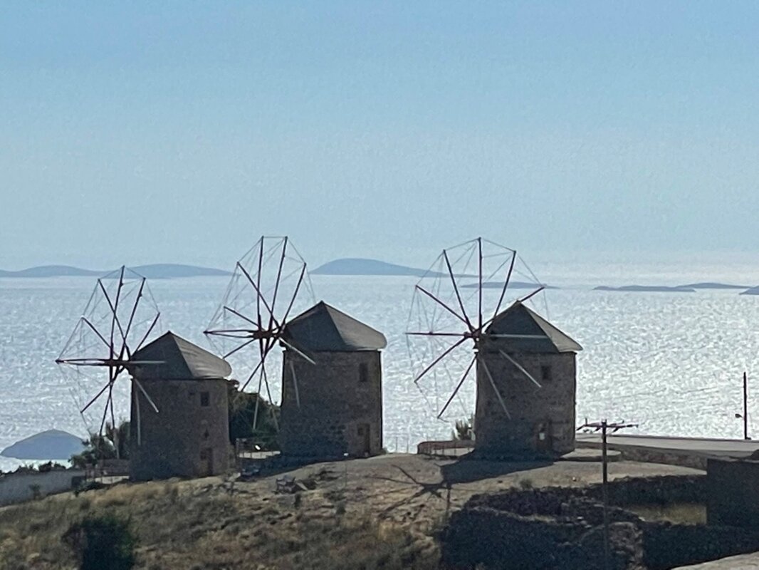
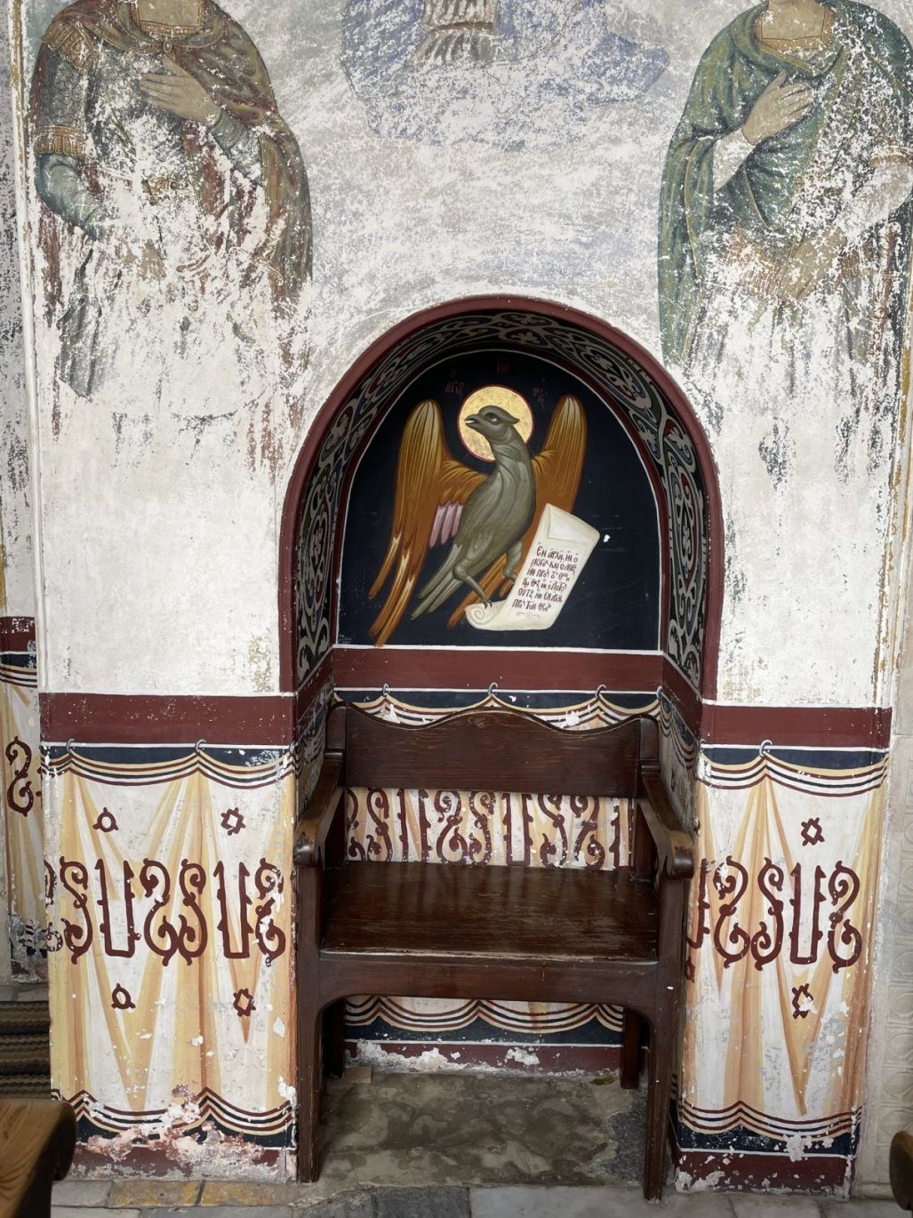
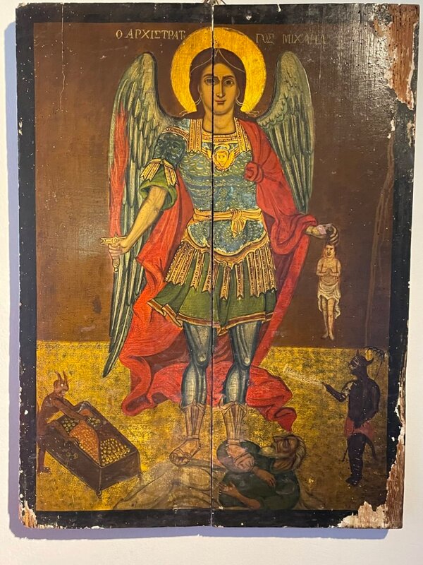
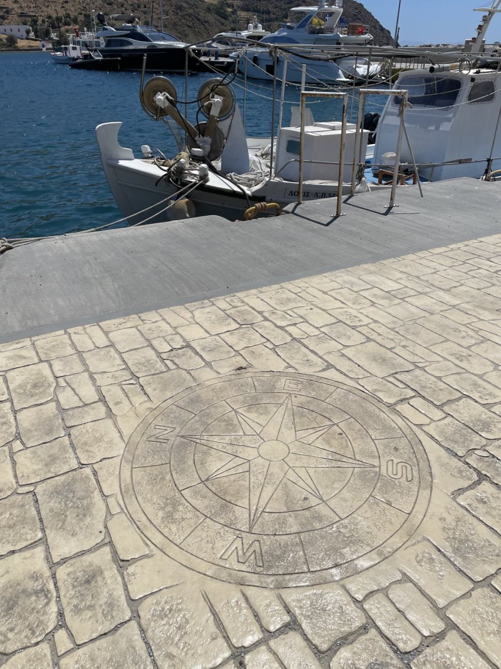
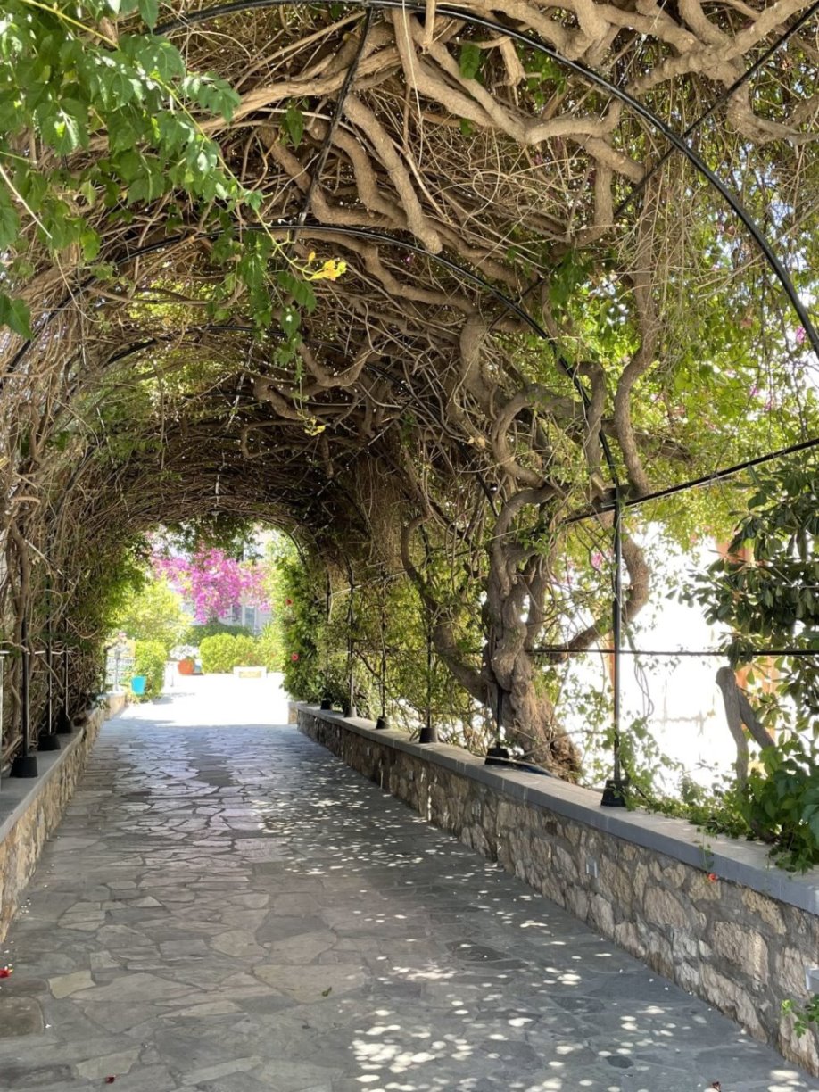
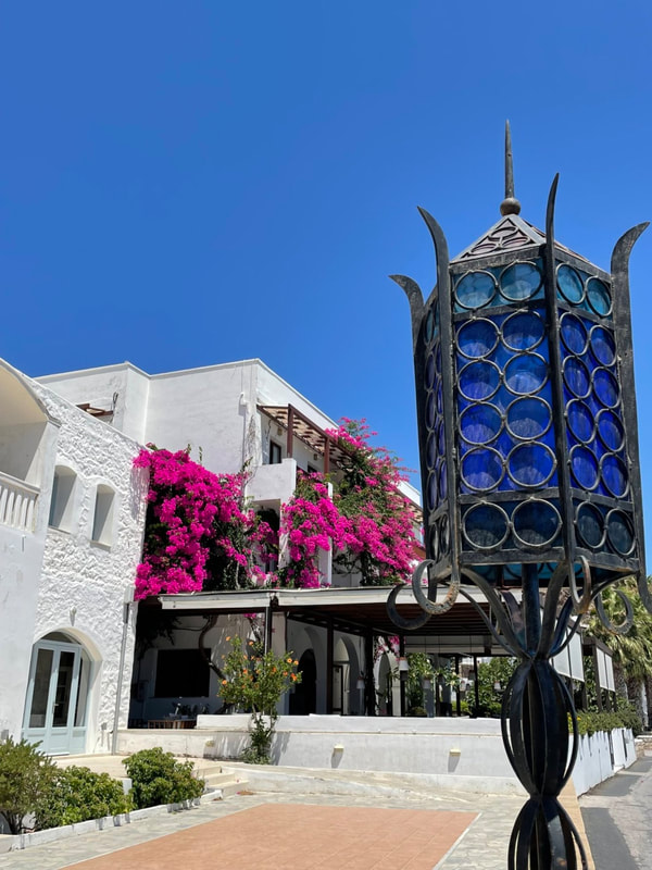
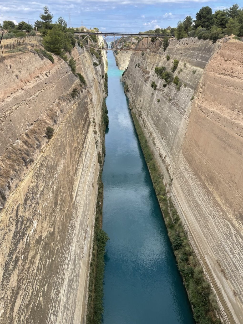
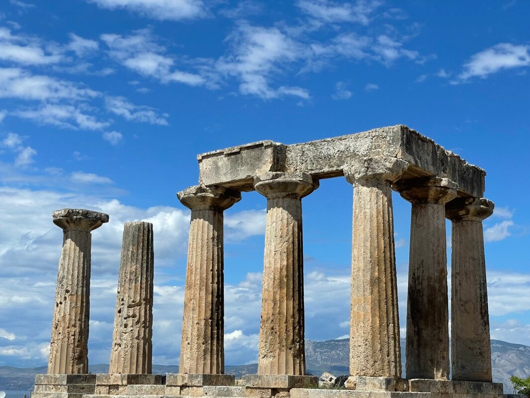
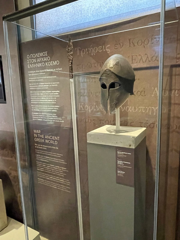
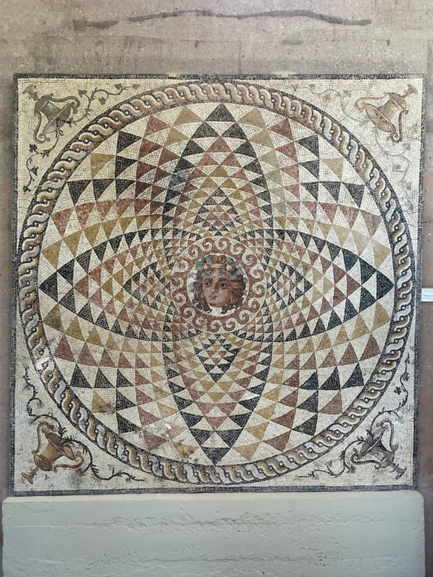
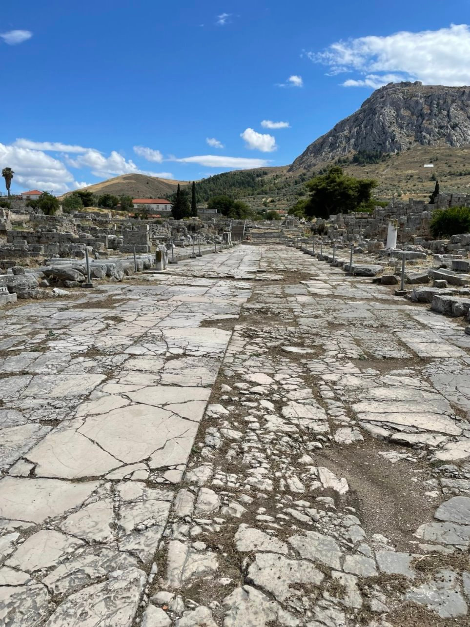
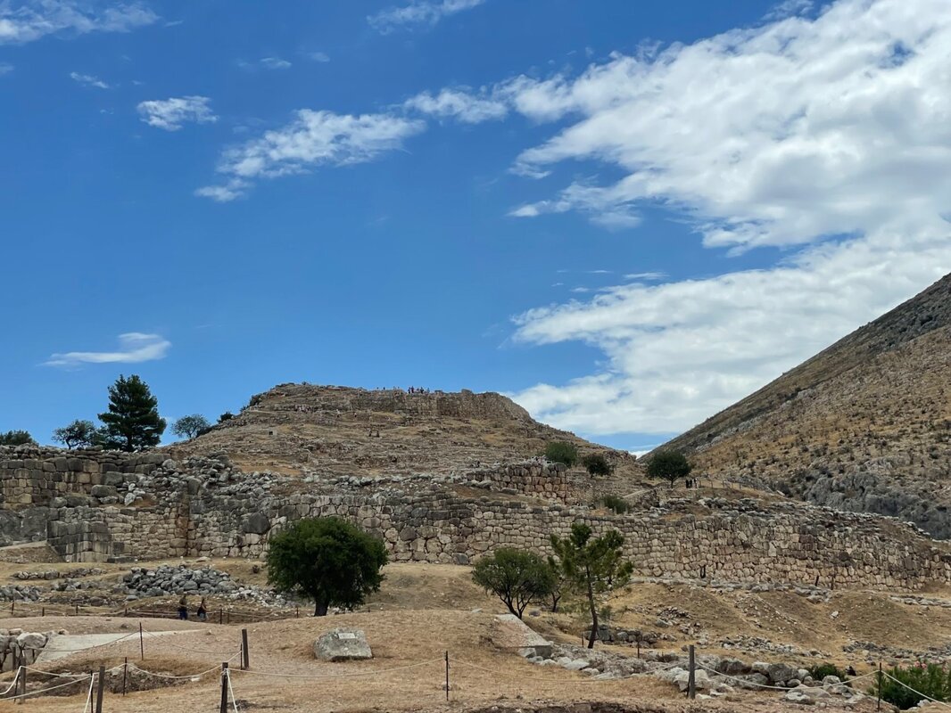
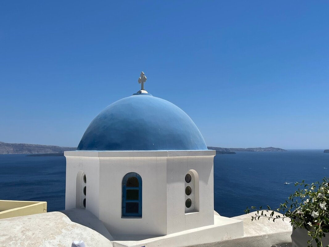
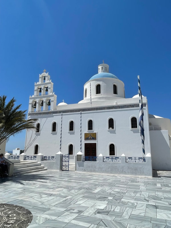
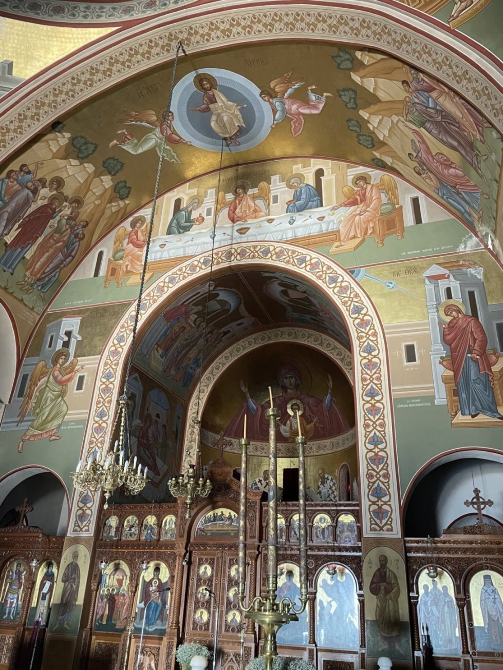
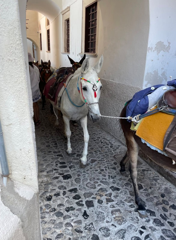
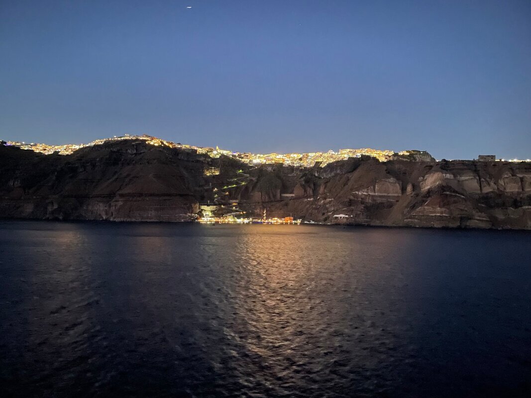
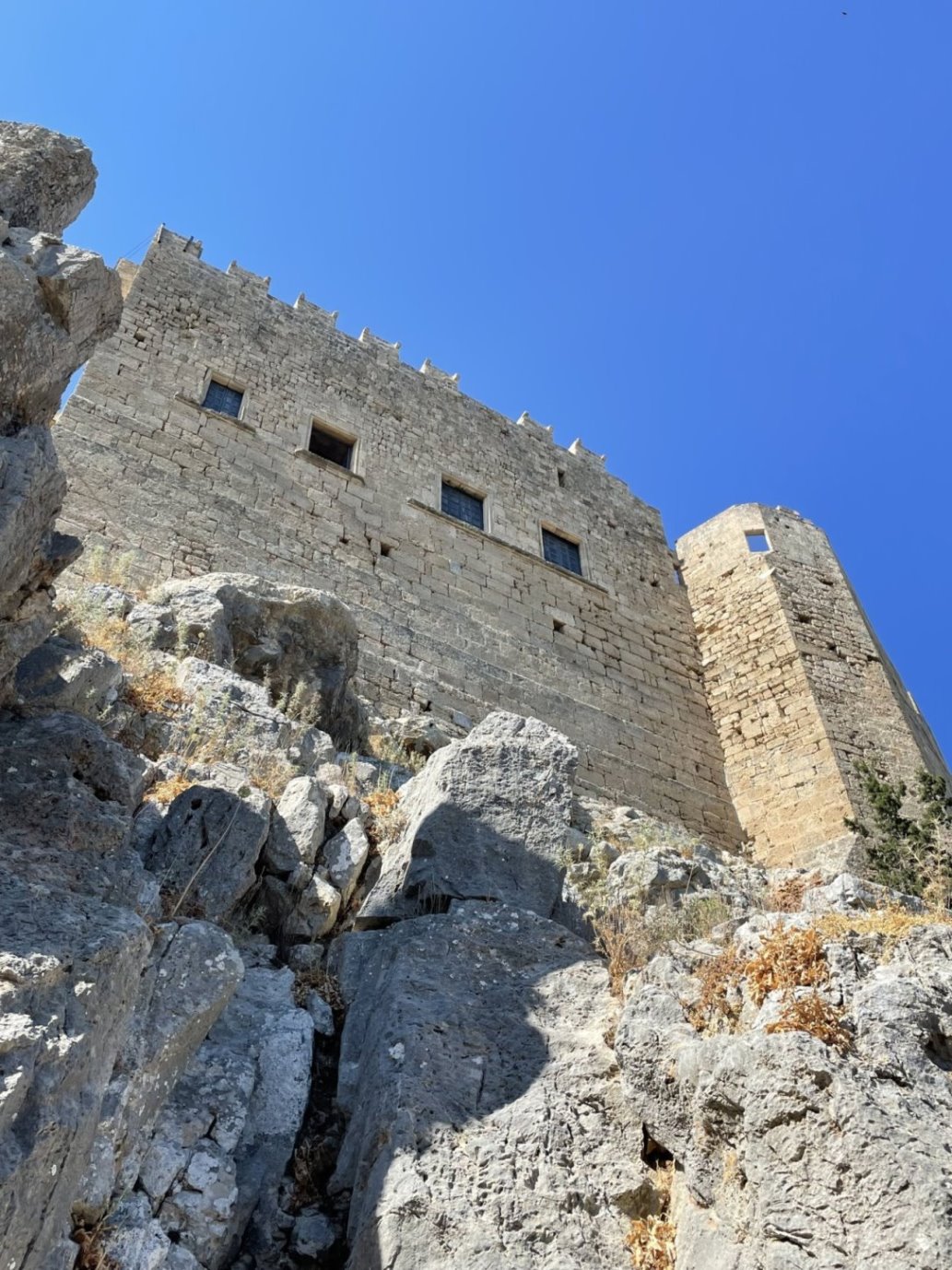
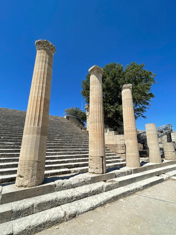
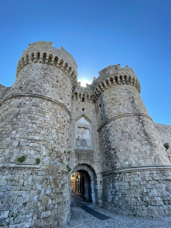
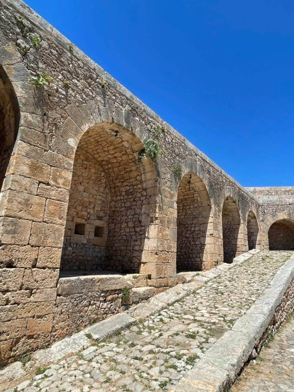
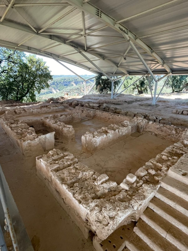
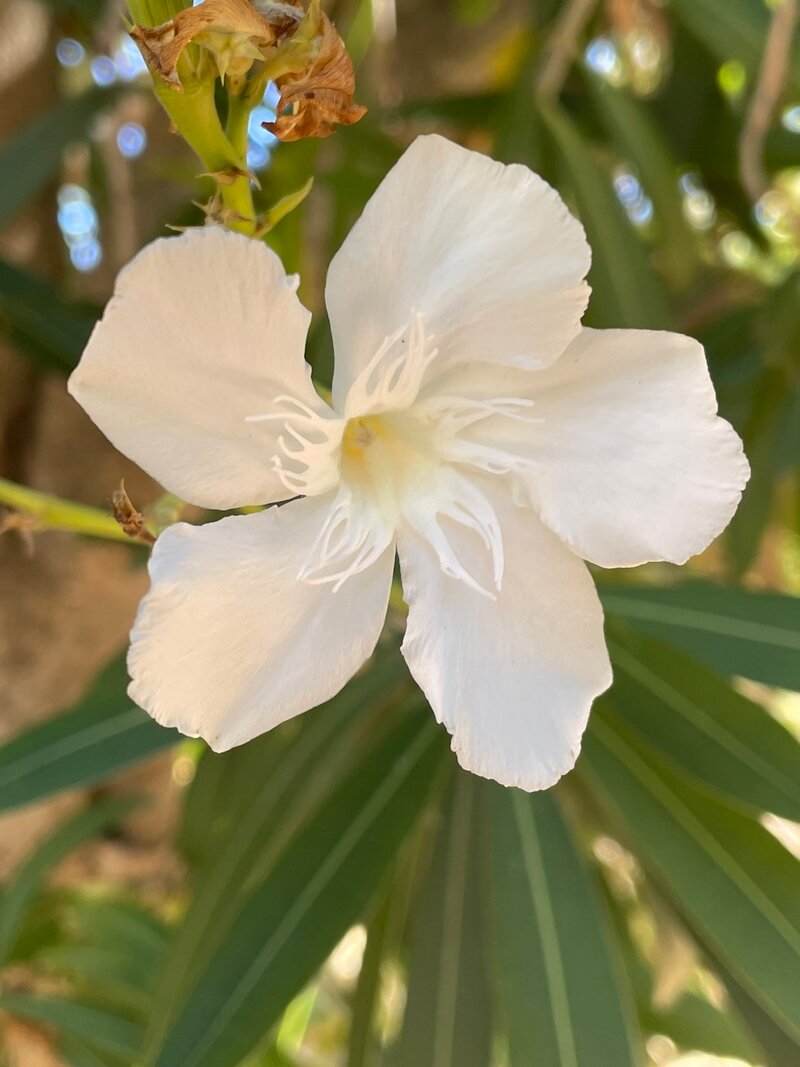
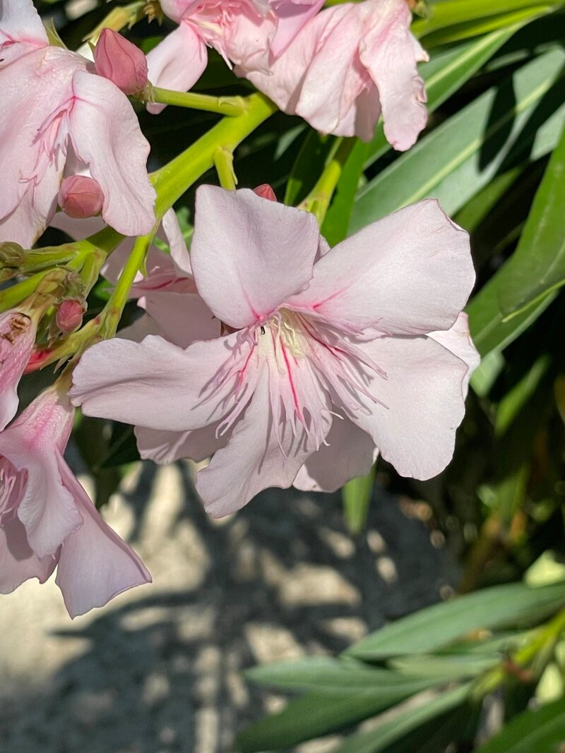
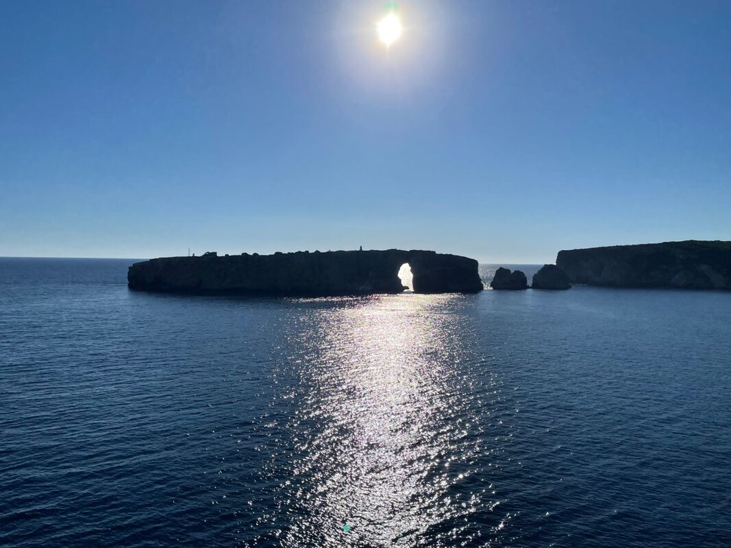
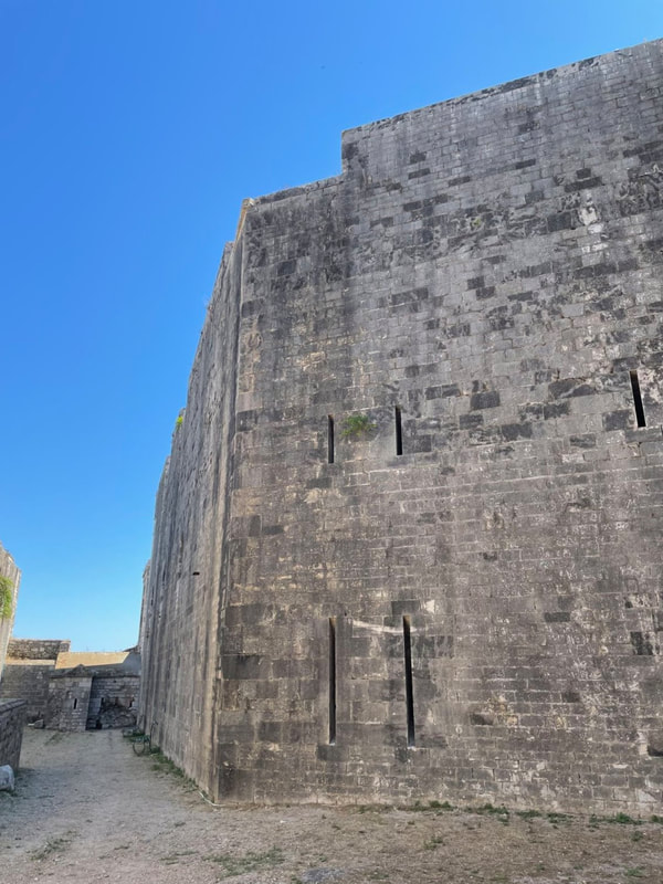
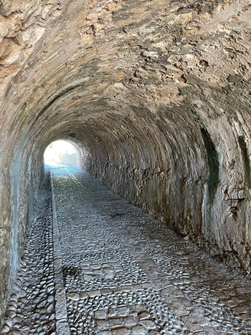
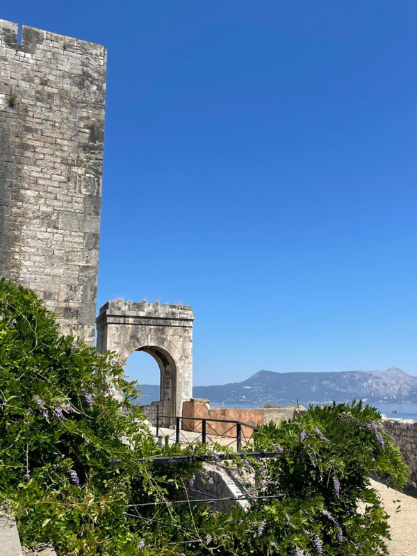
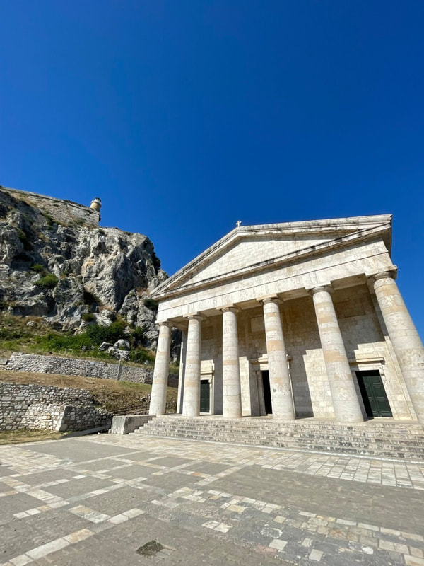
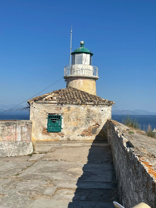
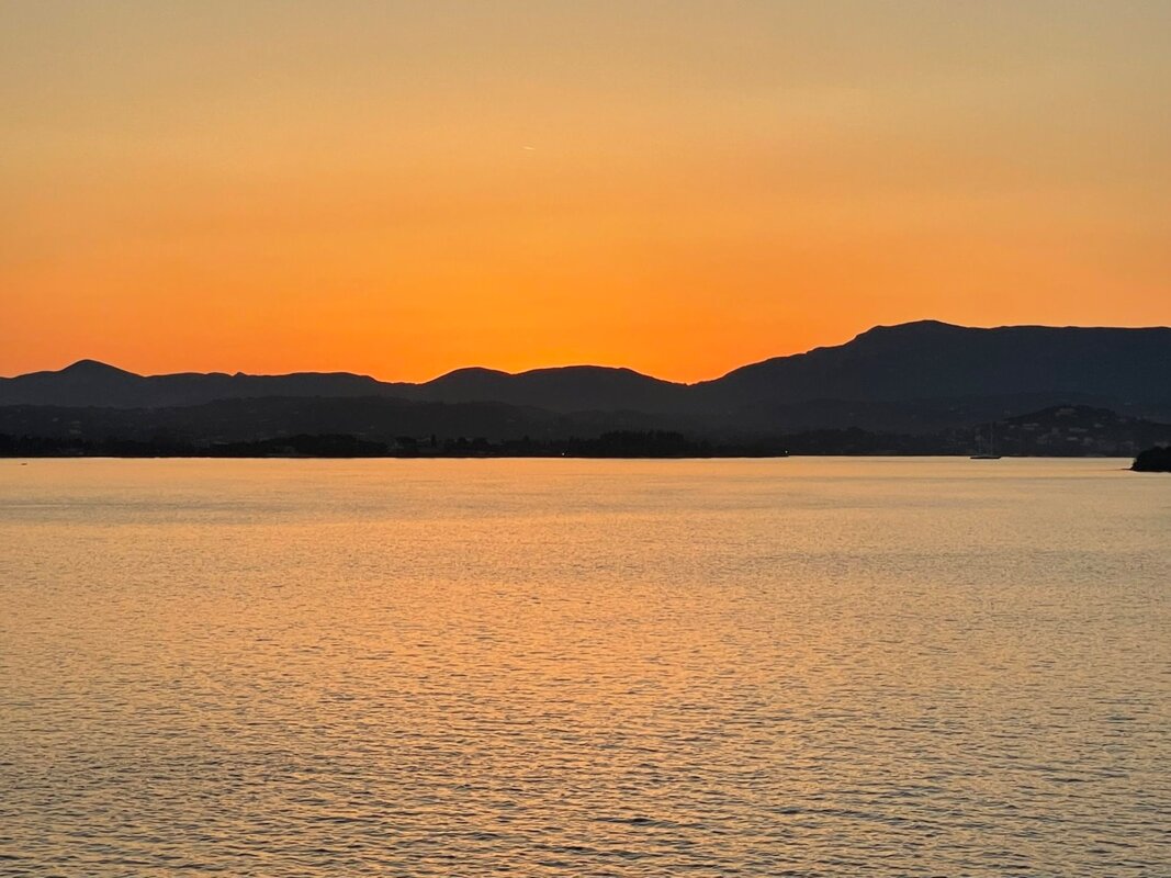
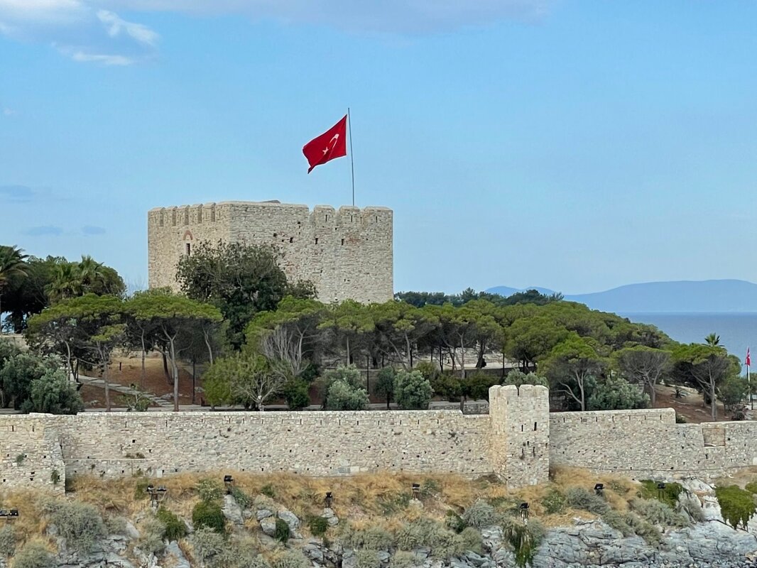
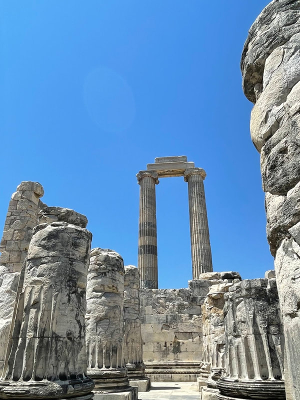
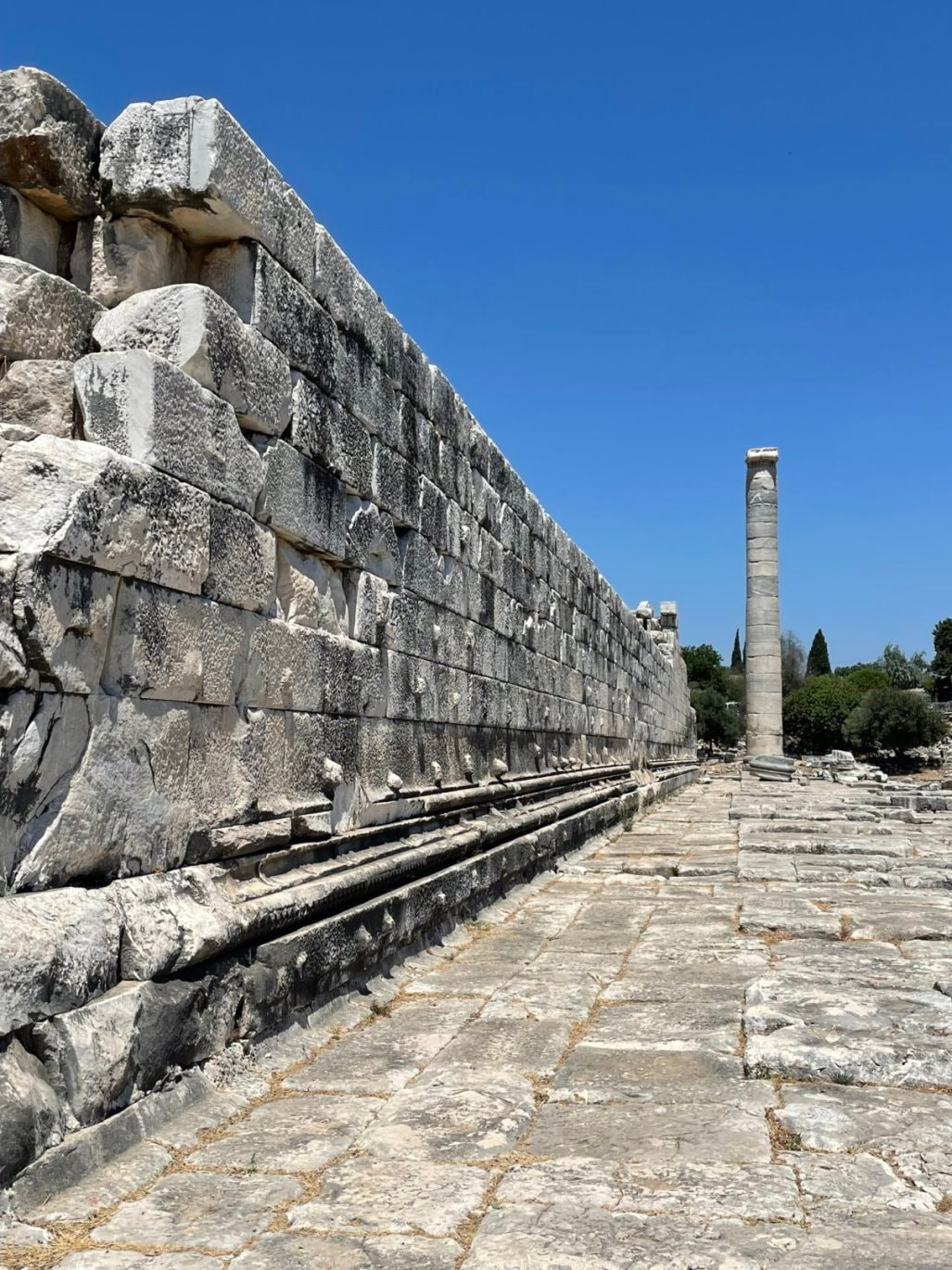
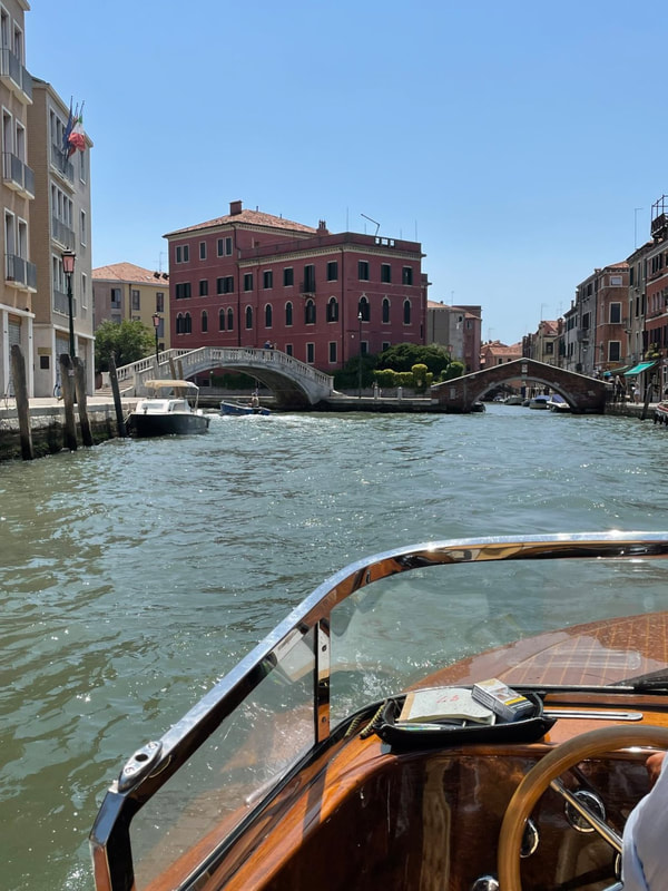
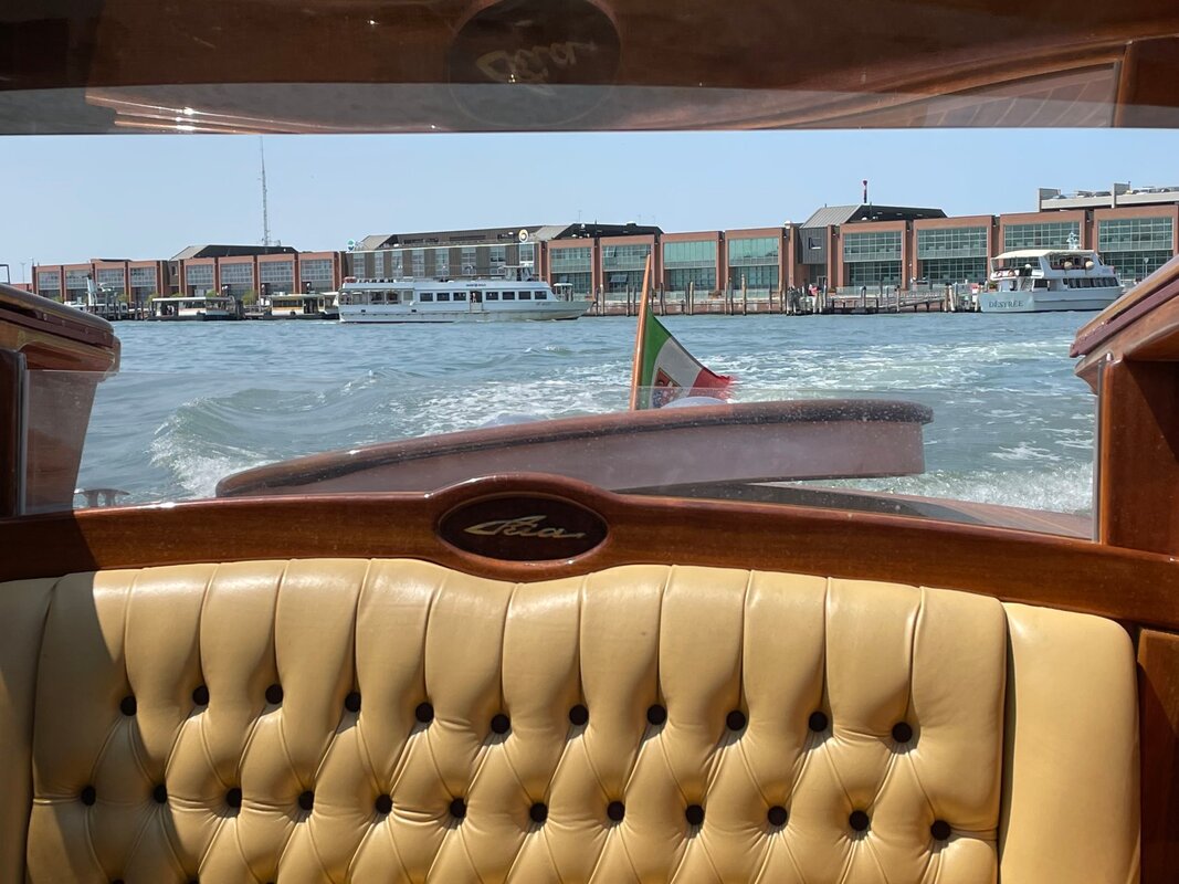
28 Days in Greece, Turkey and Venice
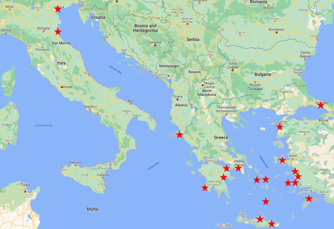
- Attica (Athens, Piraeus)
- Peloponnese (Corinth, Mycenae, Nafplion, Pylos)
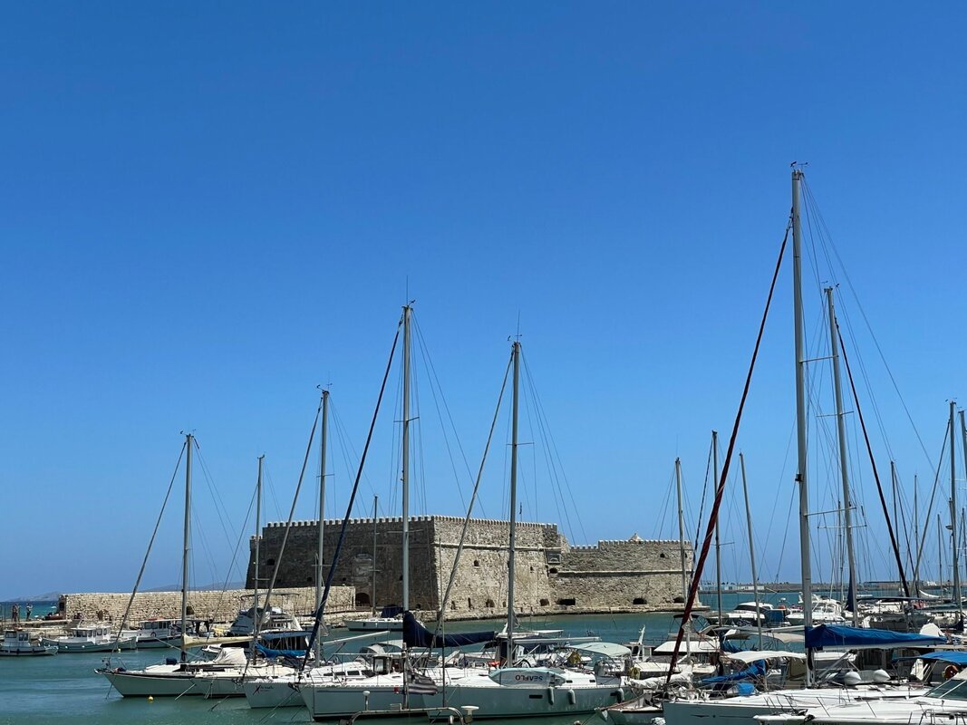
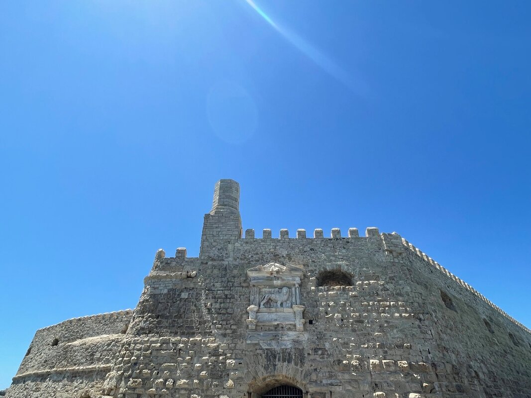
- Crete (Heraklion, Agios Nikolaos, Kritsa)
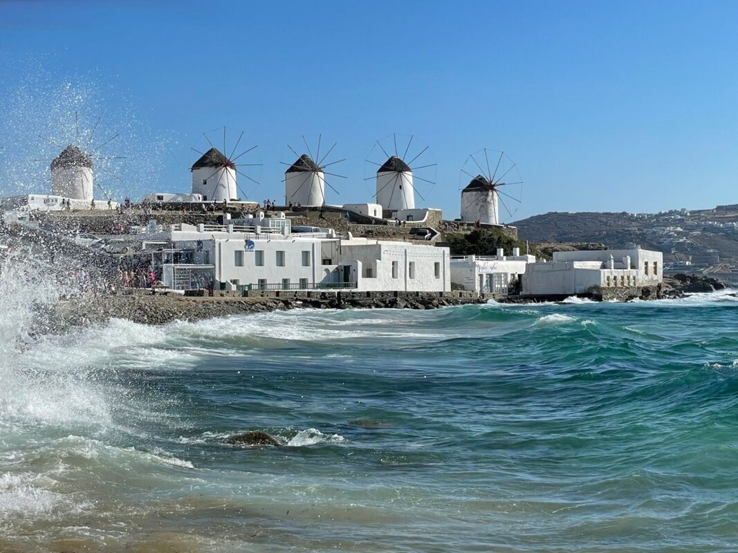
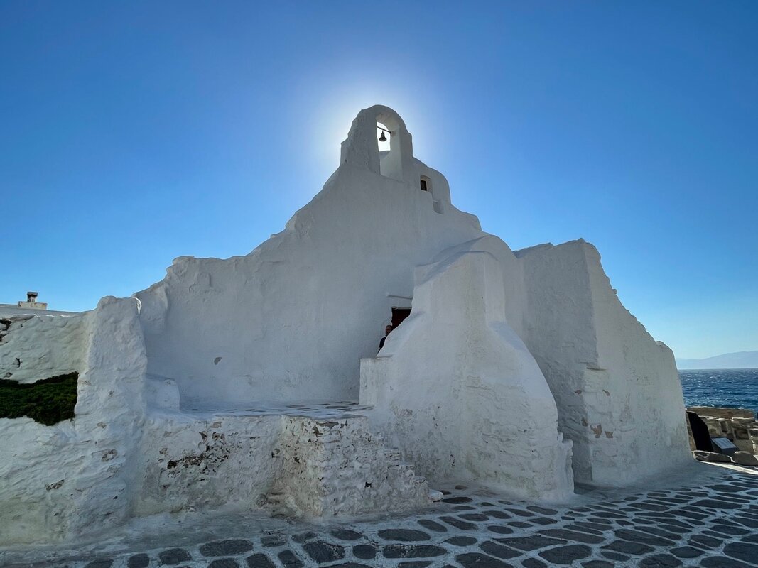
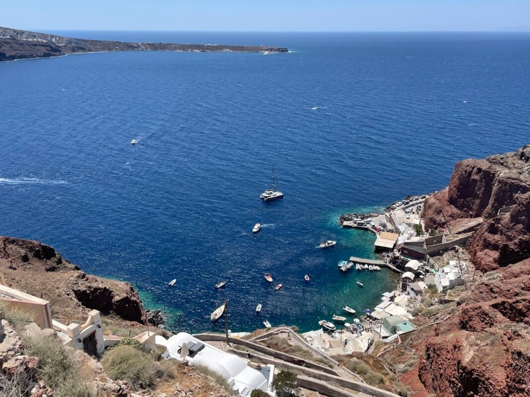
- Southern Agean (Syros, Mykonos, Santorini, Rhodes, Patmos)
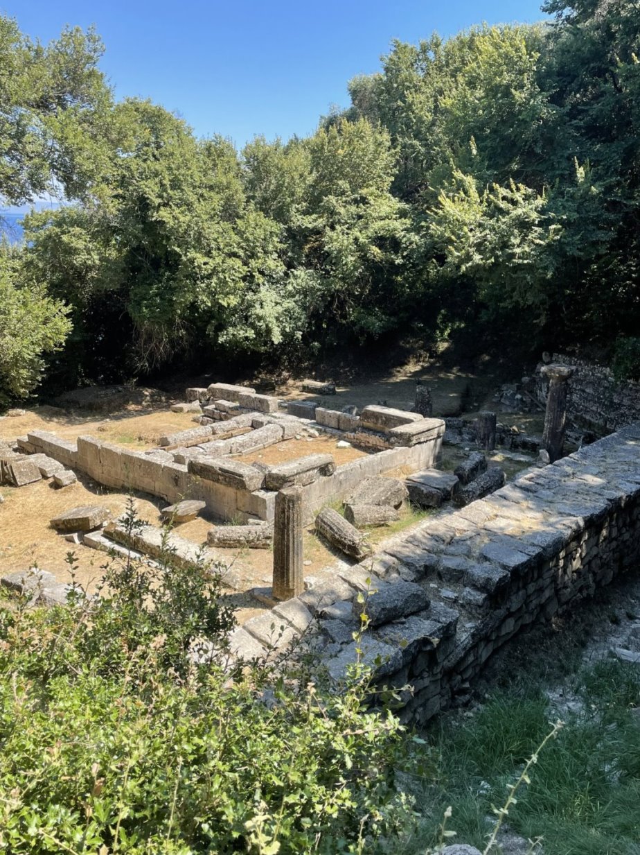
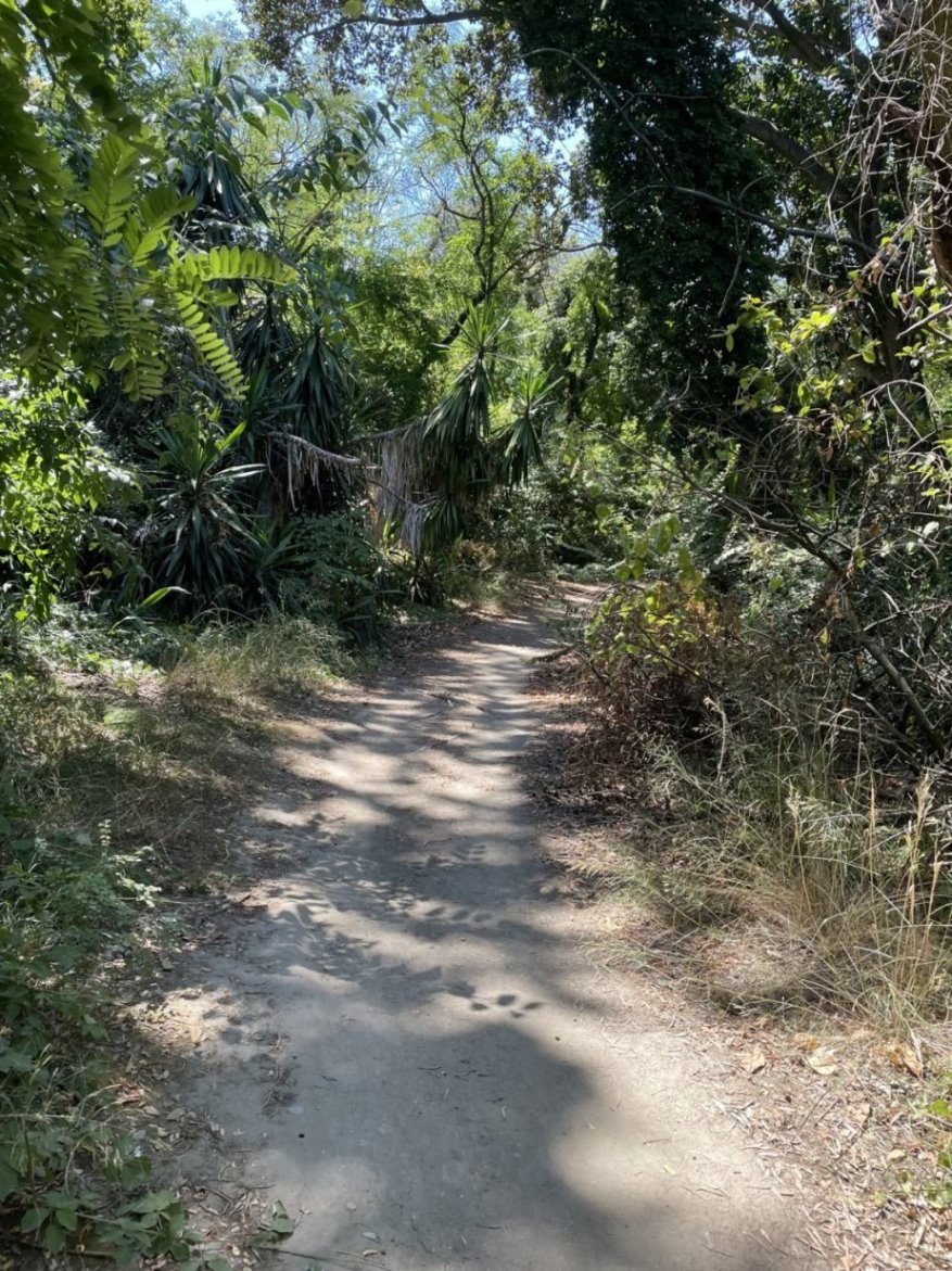
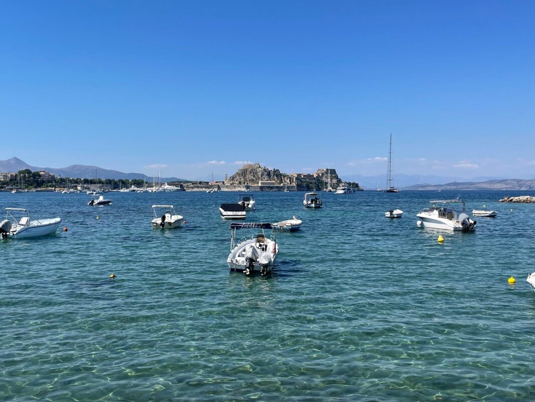
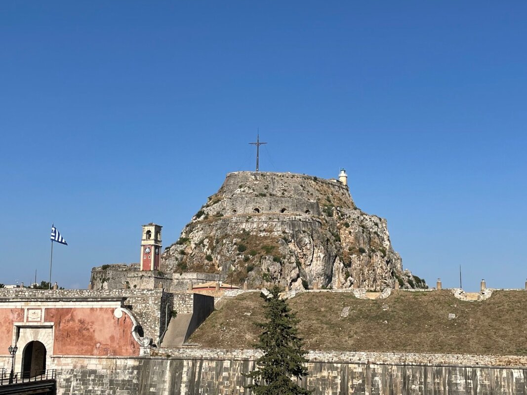
- Ionian Islands (Corfu)
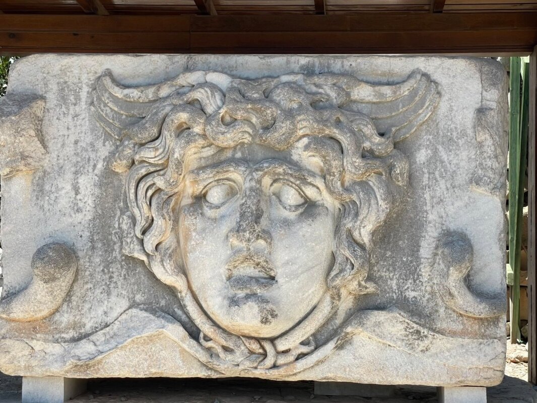
We visited 9 cities in Turkey where we saw a wide variety of “Classical” Greek, Roman and Ottoman sites:
- Kusadasi
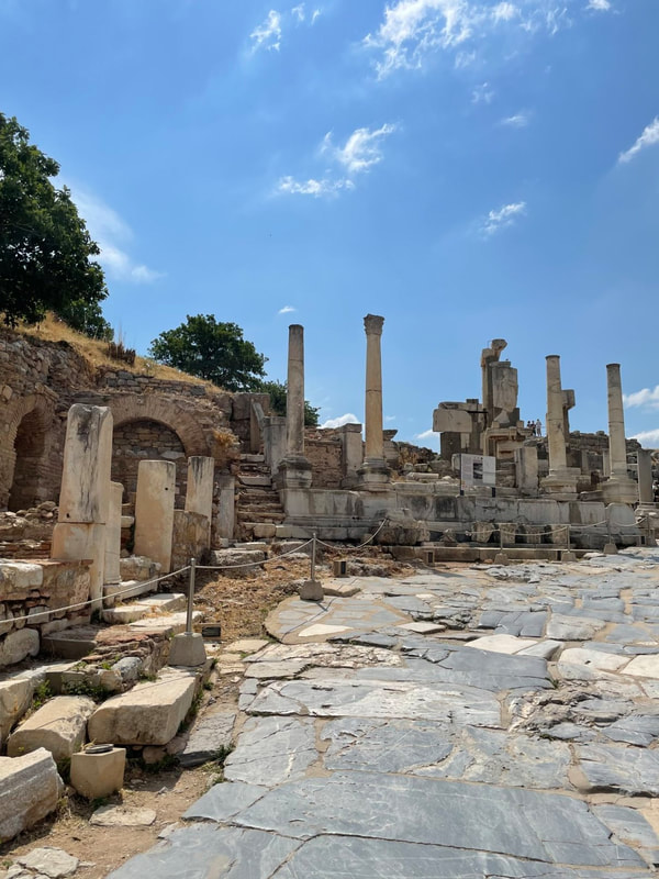
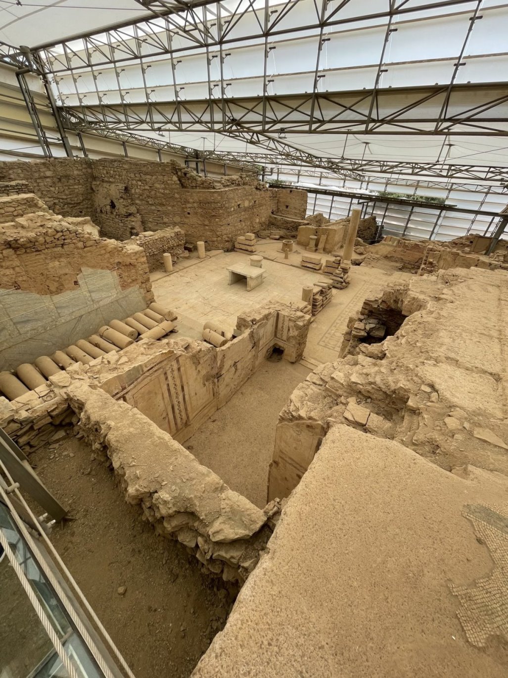
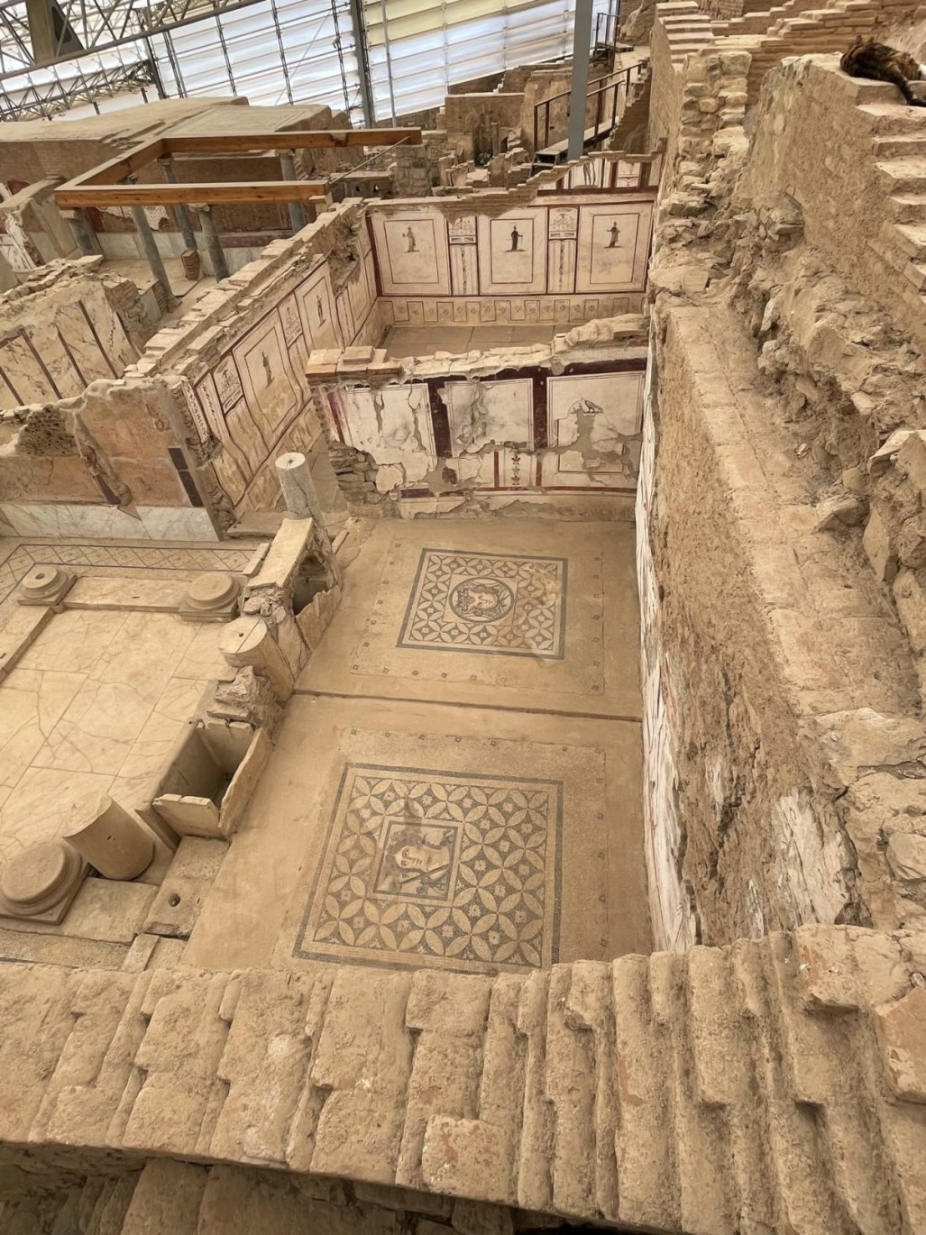
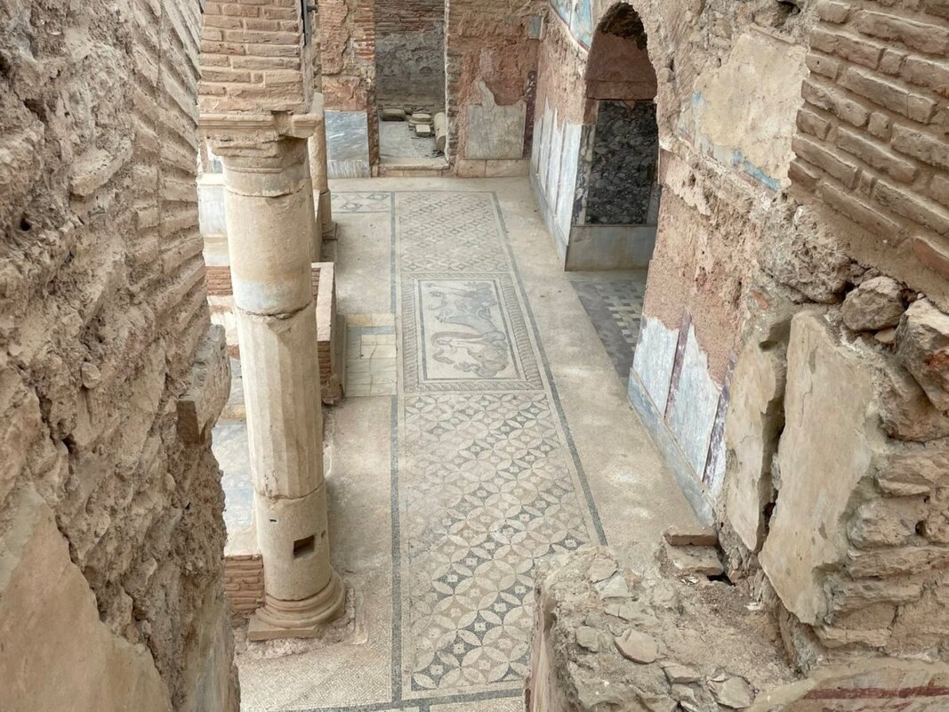
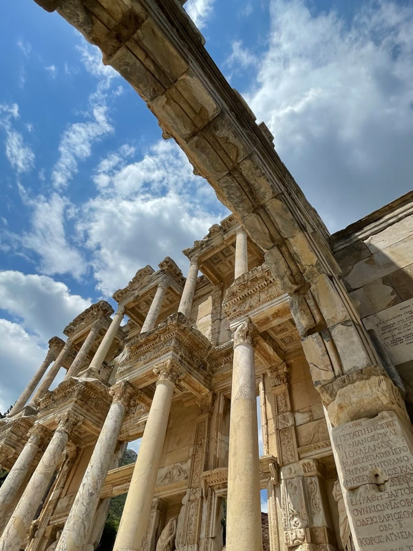
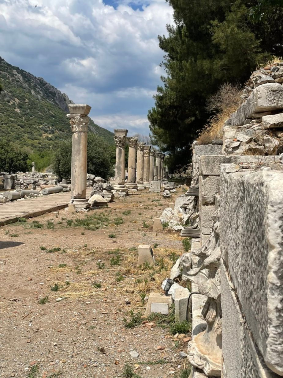
- Ephesus
- Cesme
- Kepez
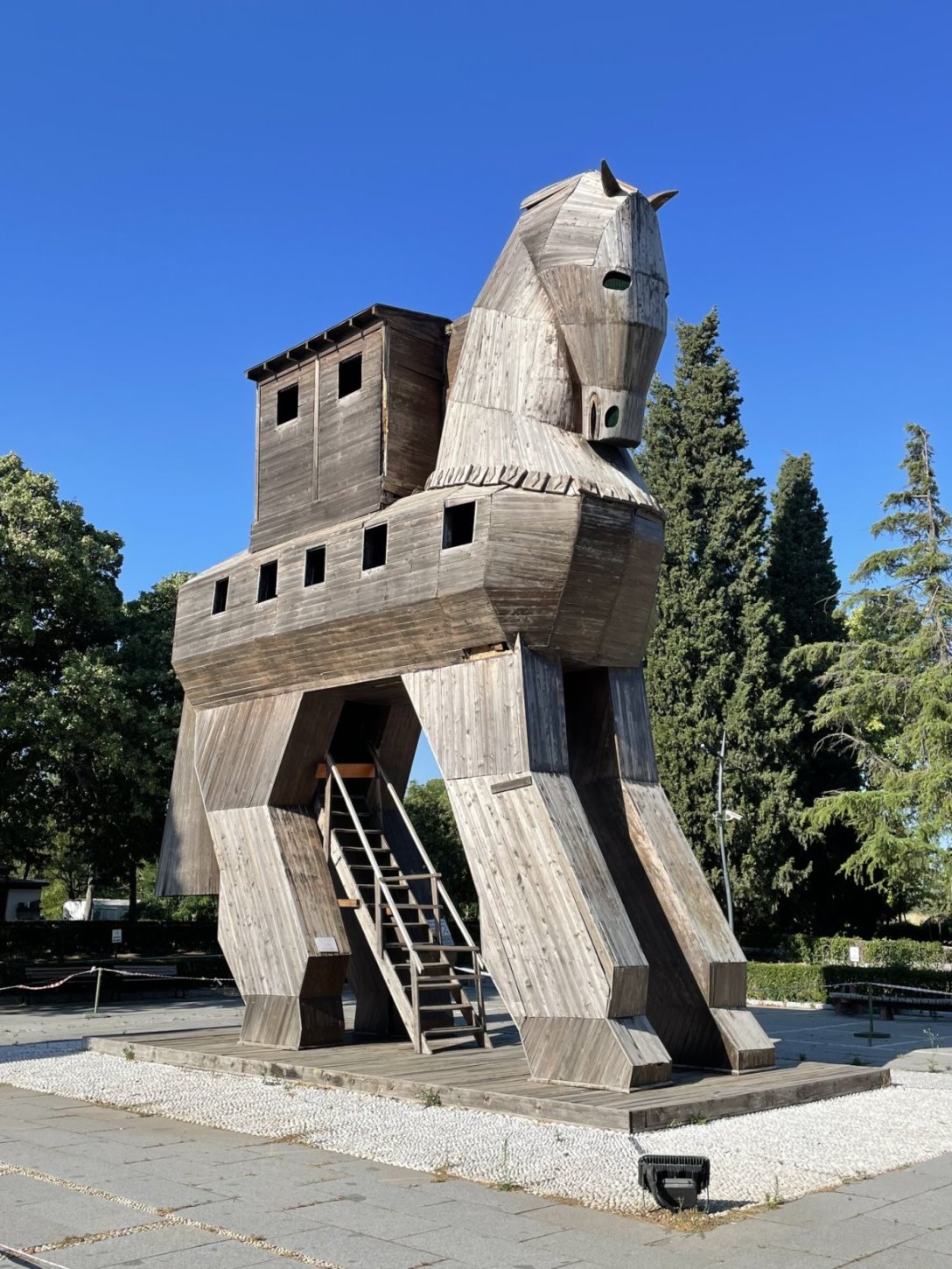
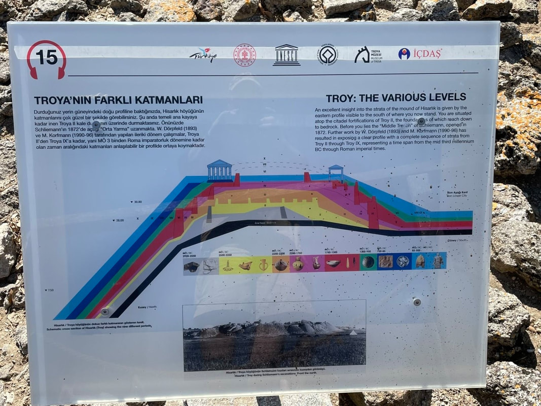
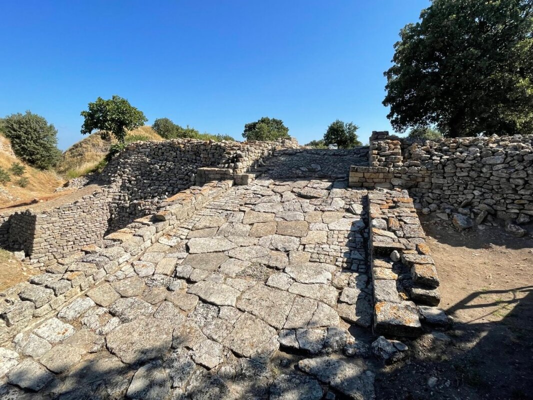
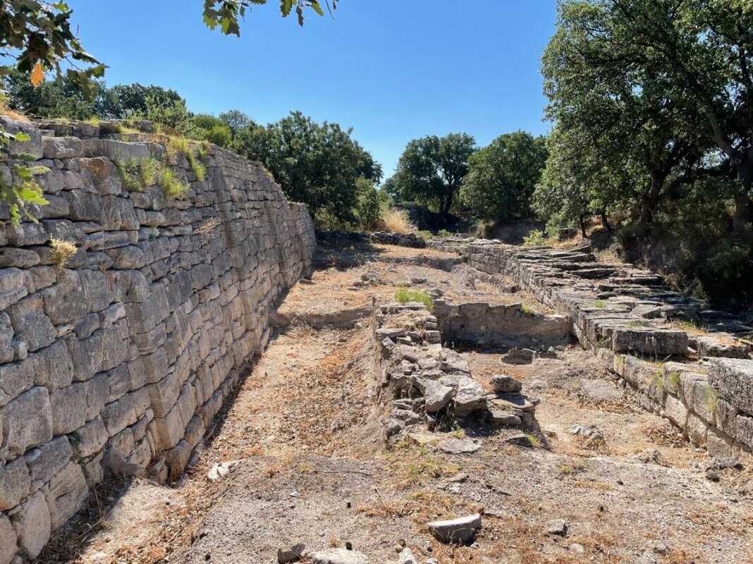
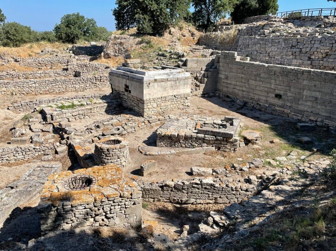
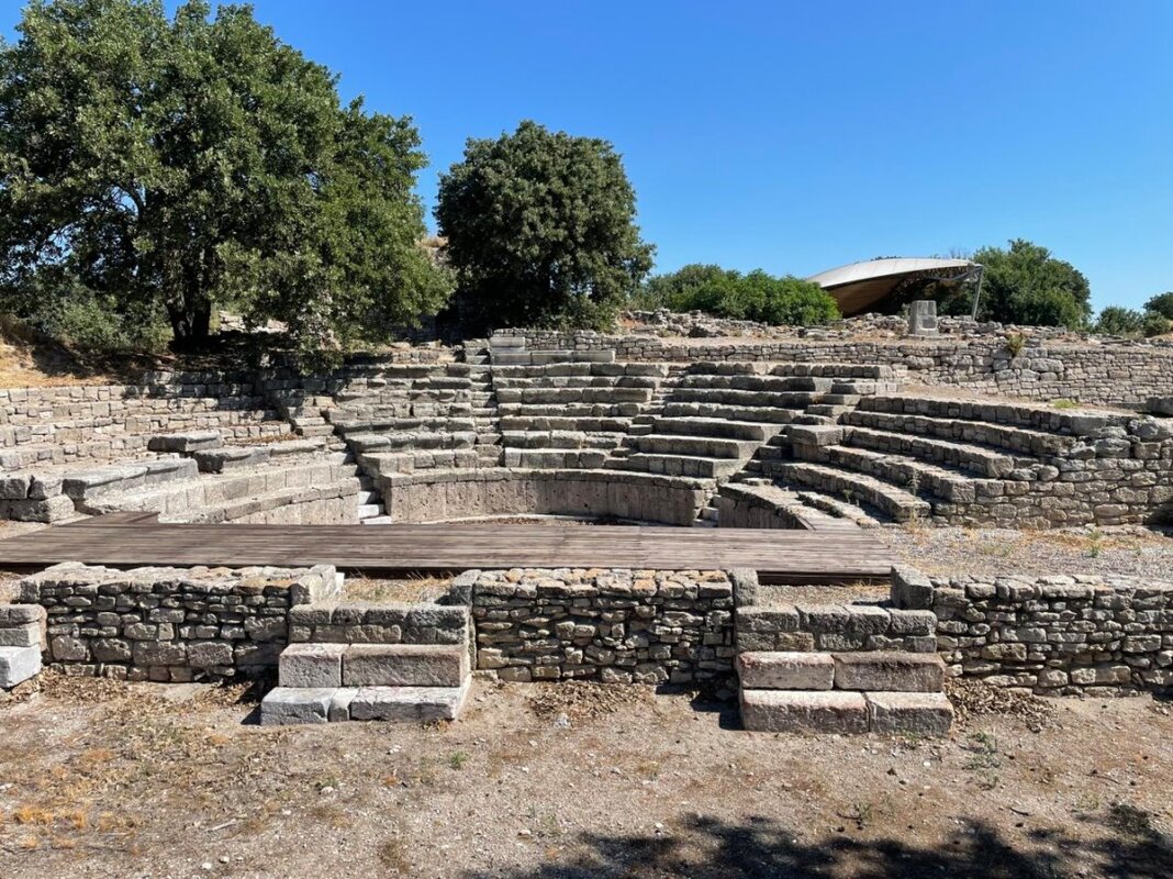
- Troy
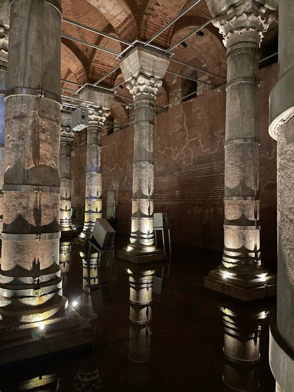
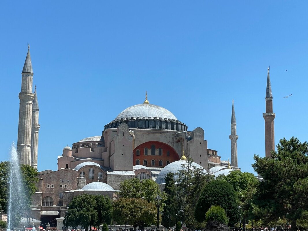
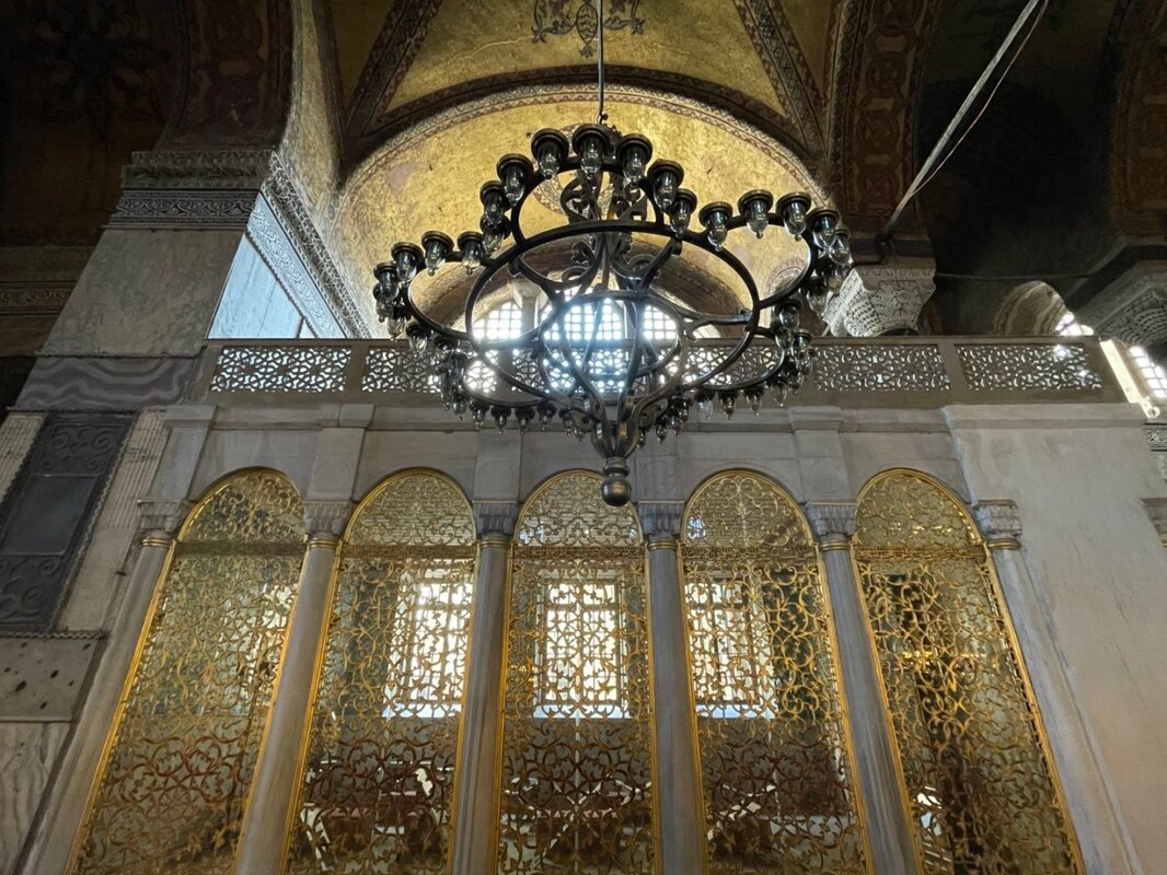
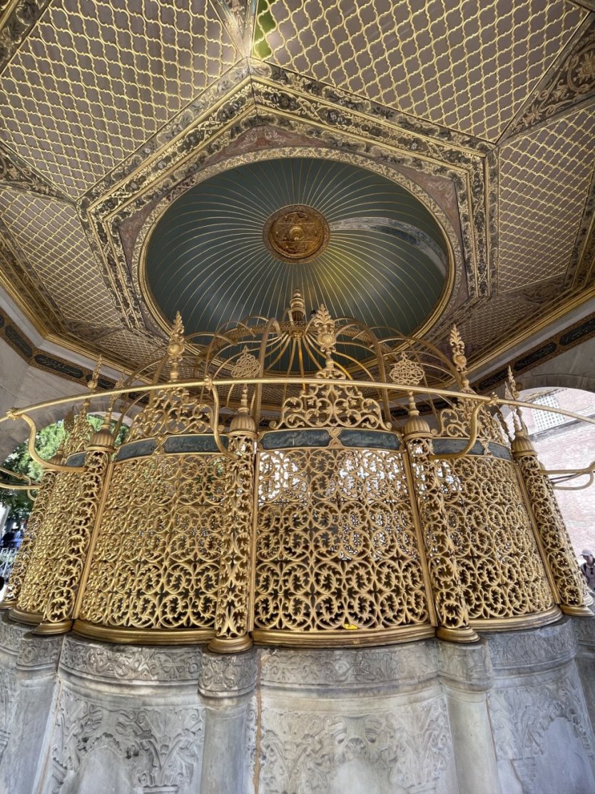
- Istanbul
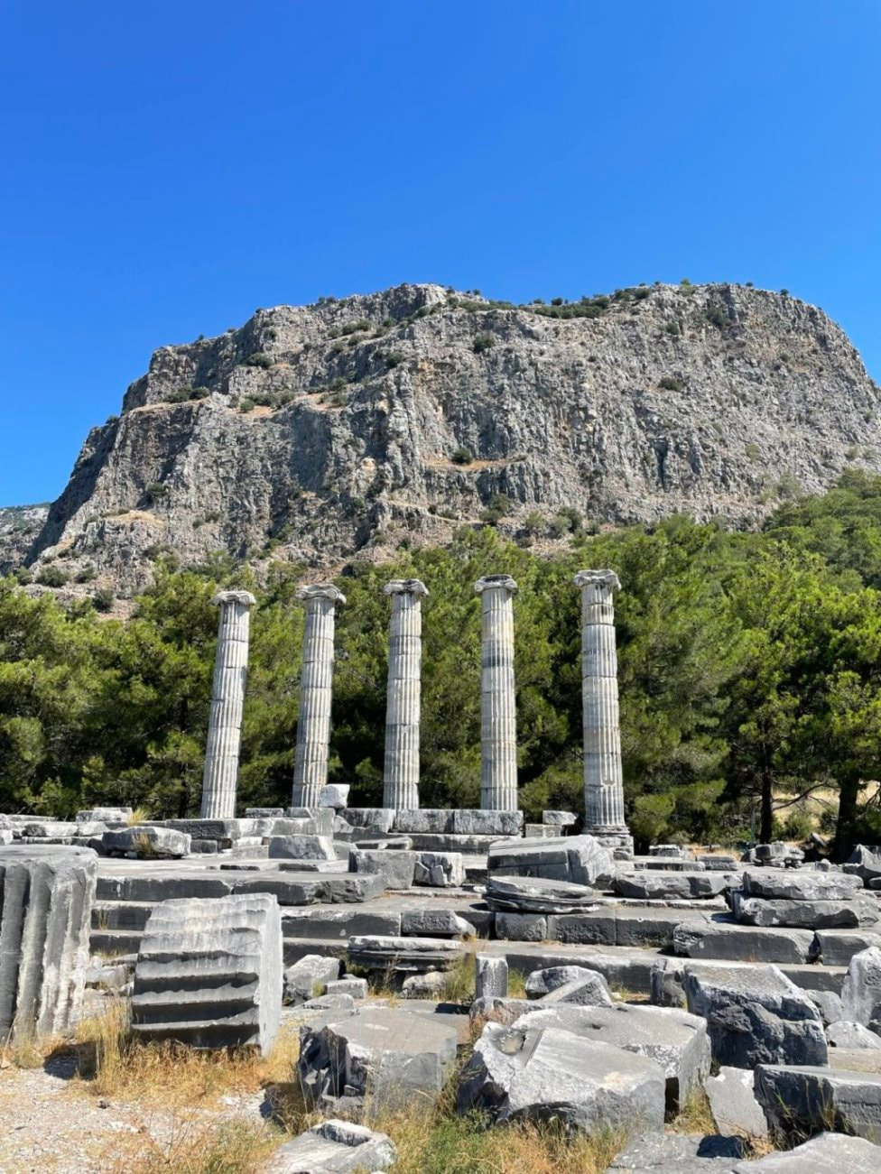
- Priene
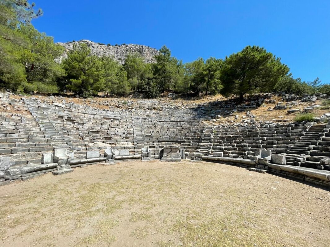
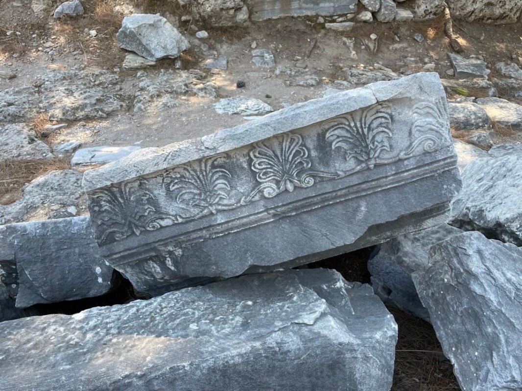
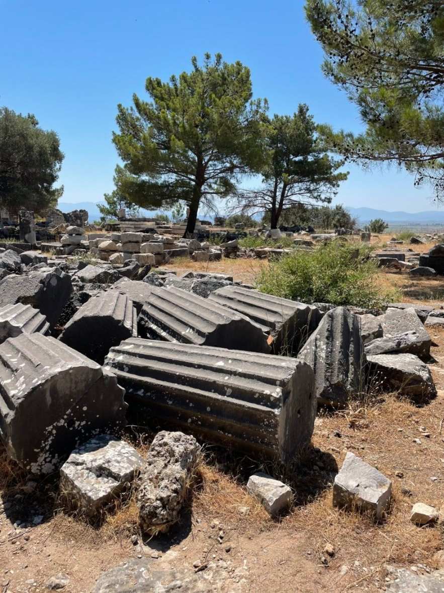
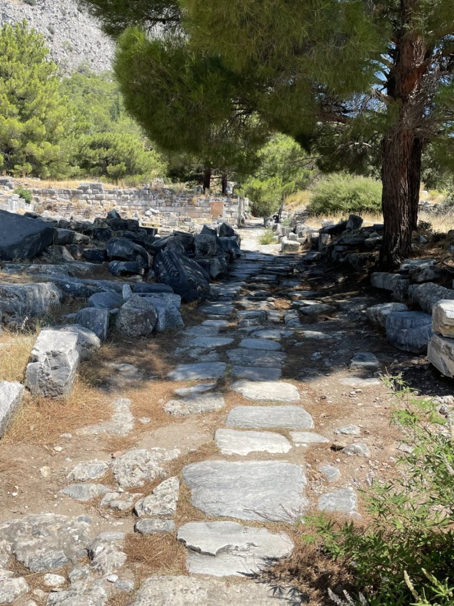
- Miletus
- Didyma
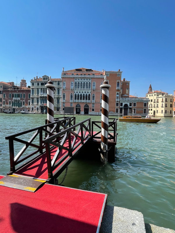
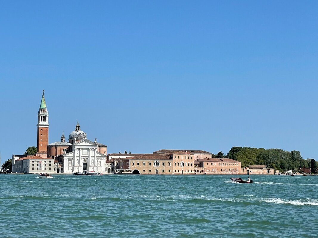
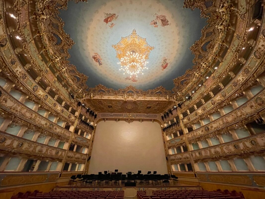
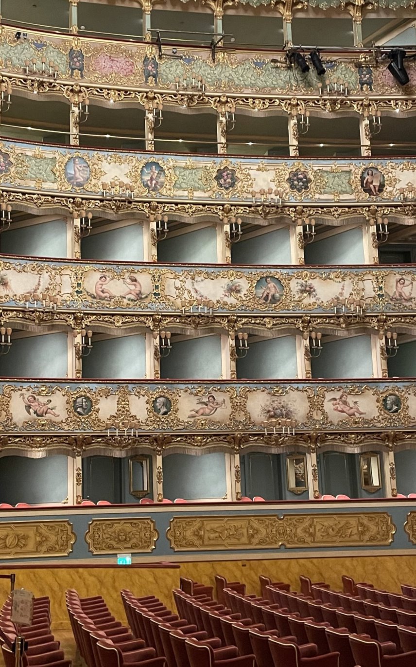
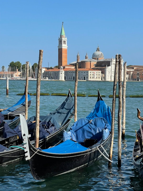
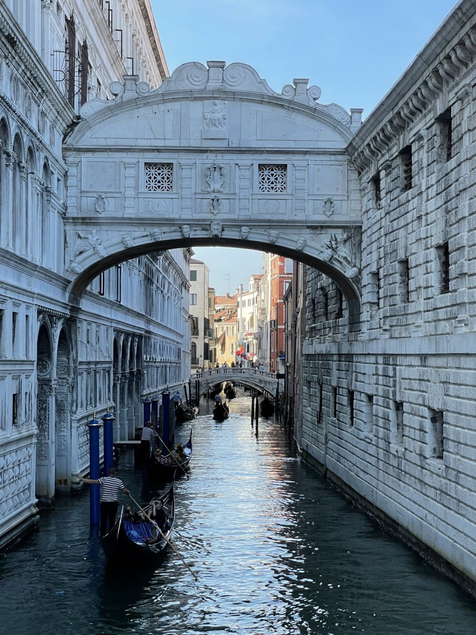
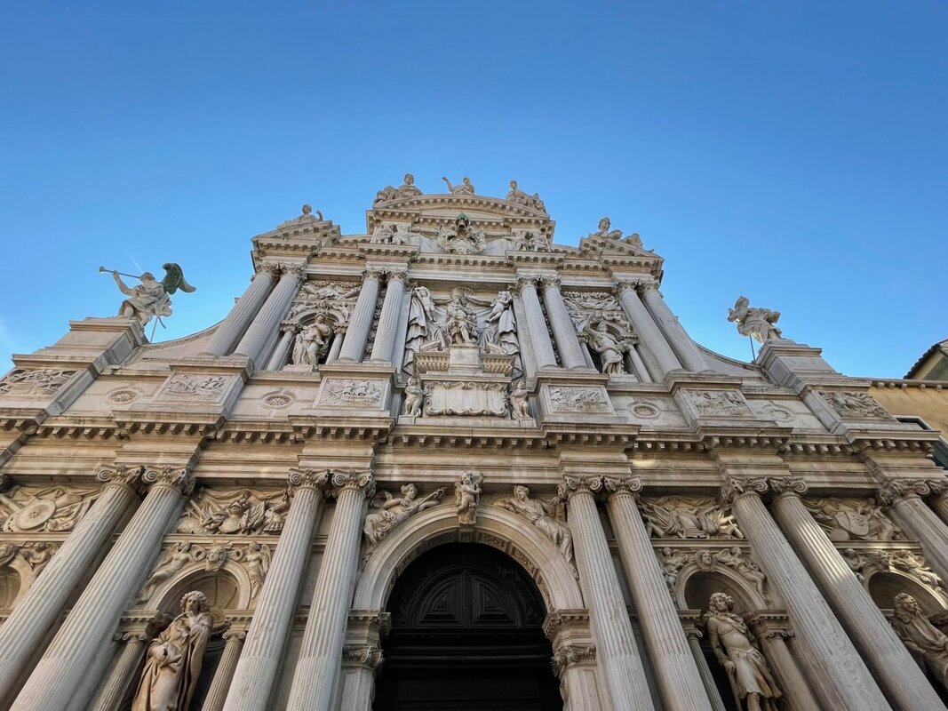
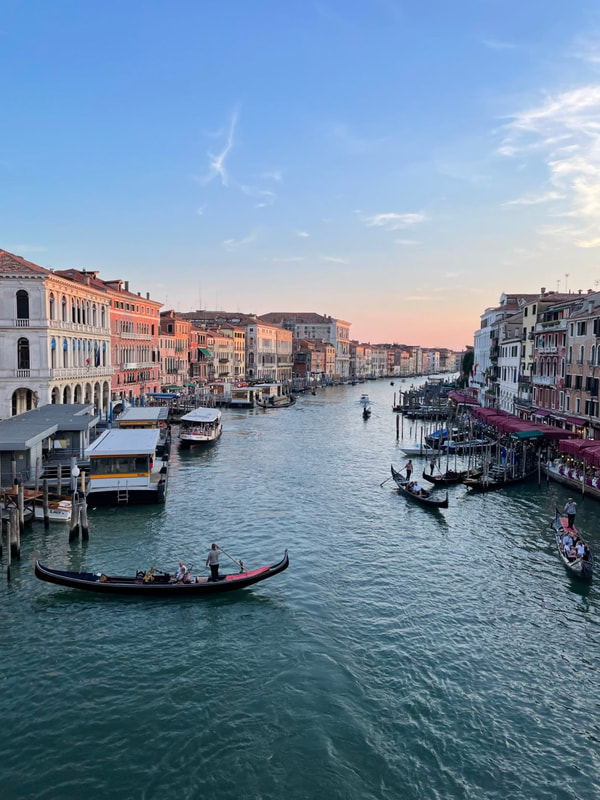
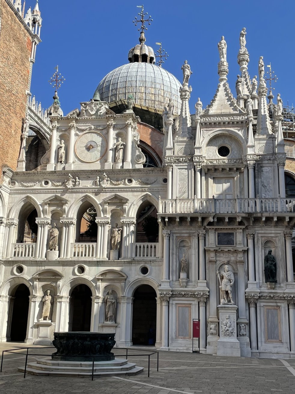
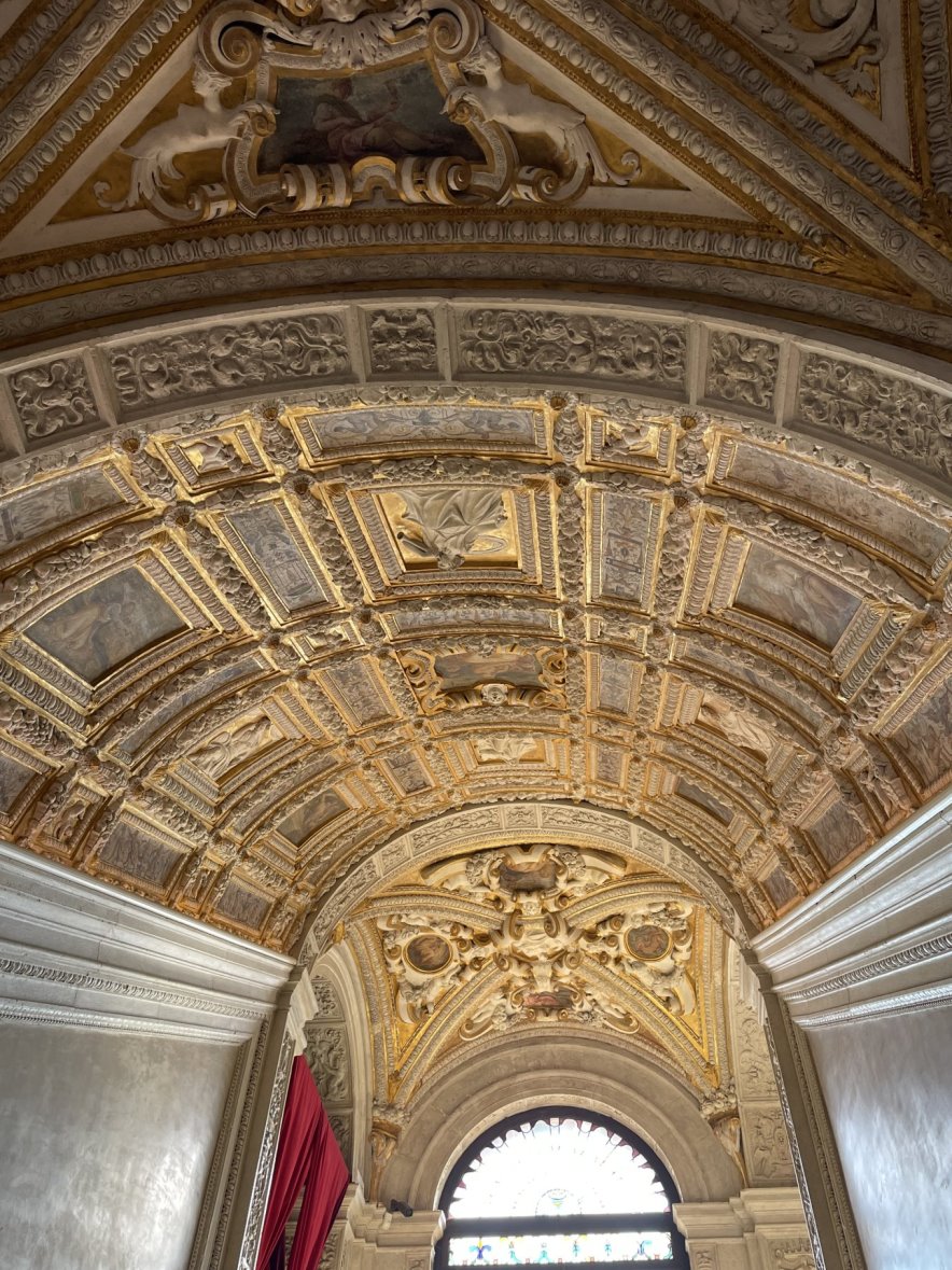
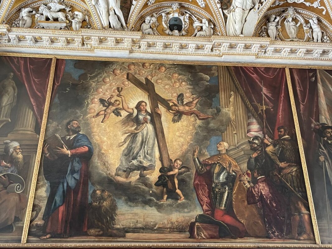
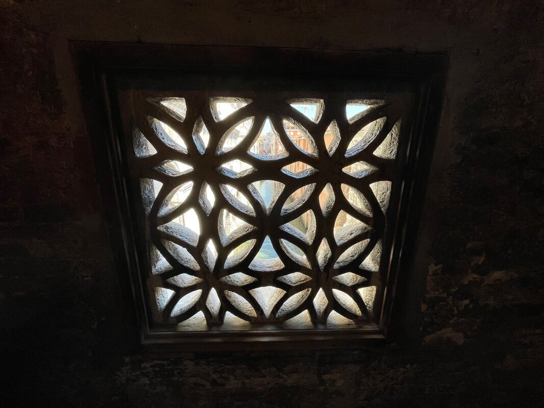
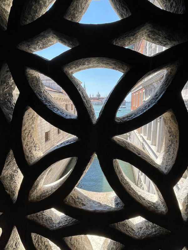
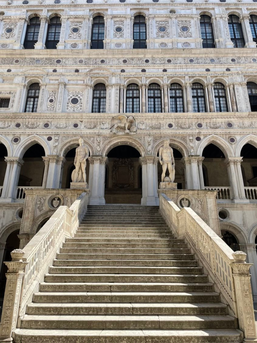
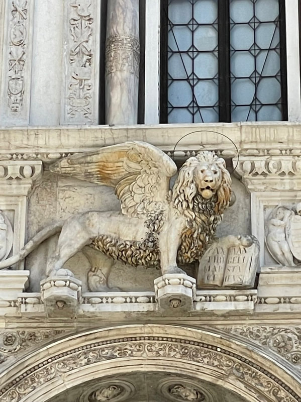
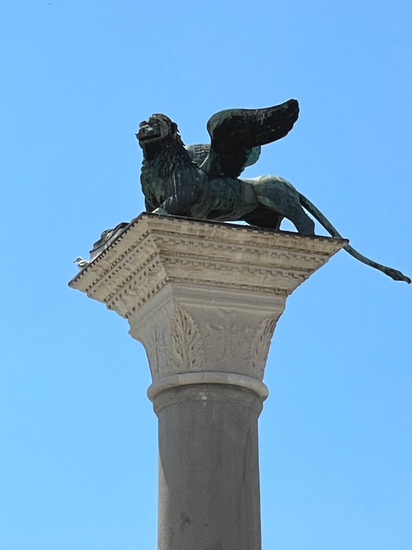
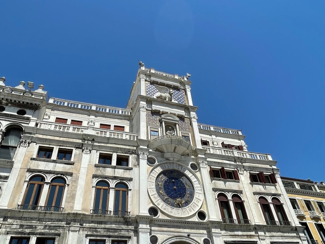
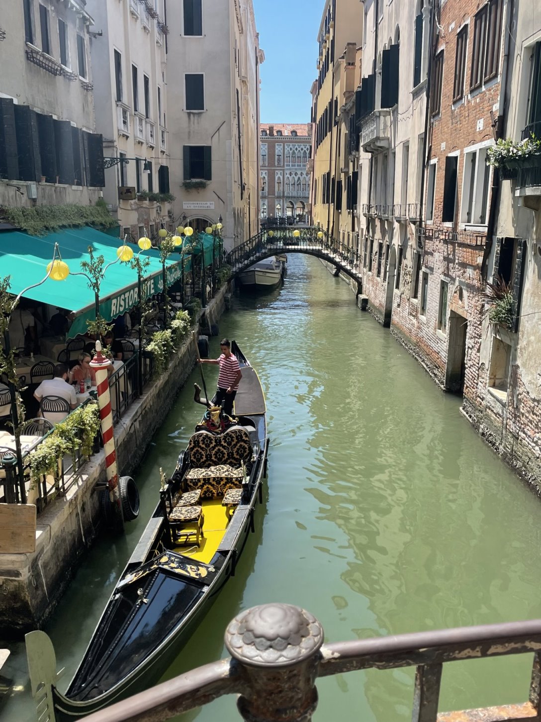
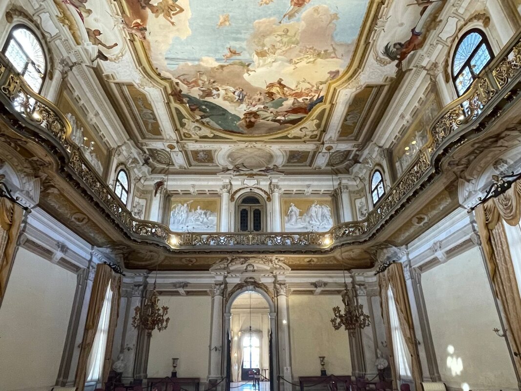
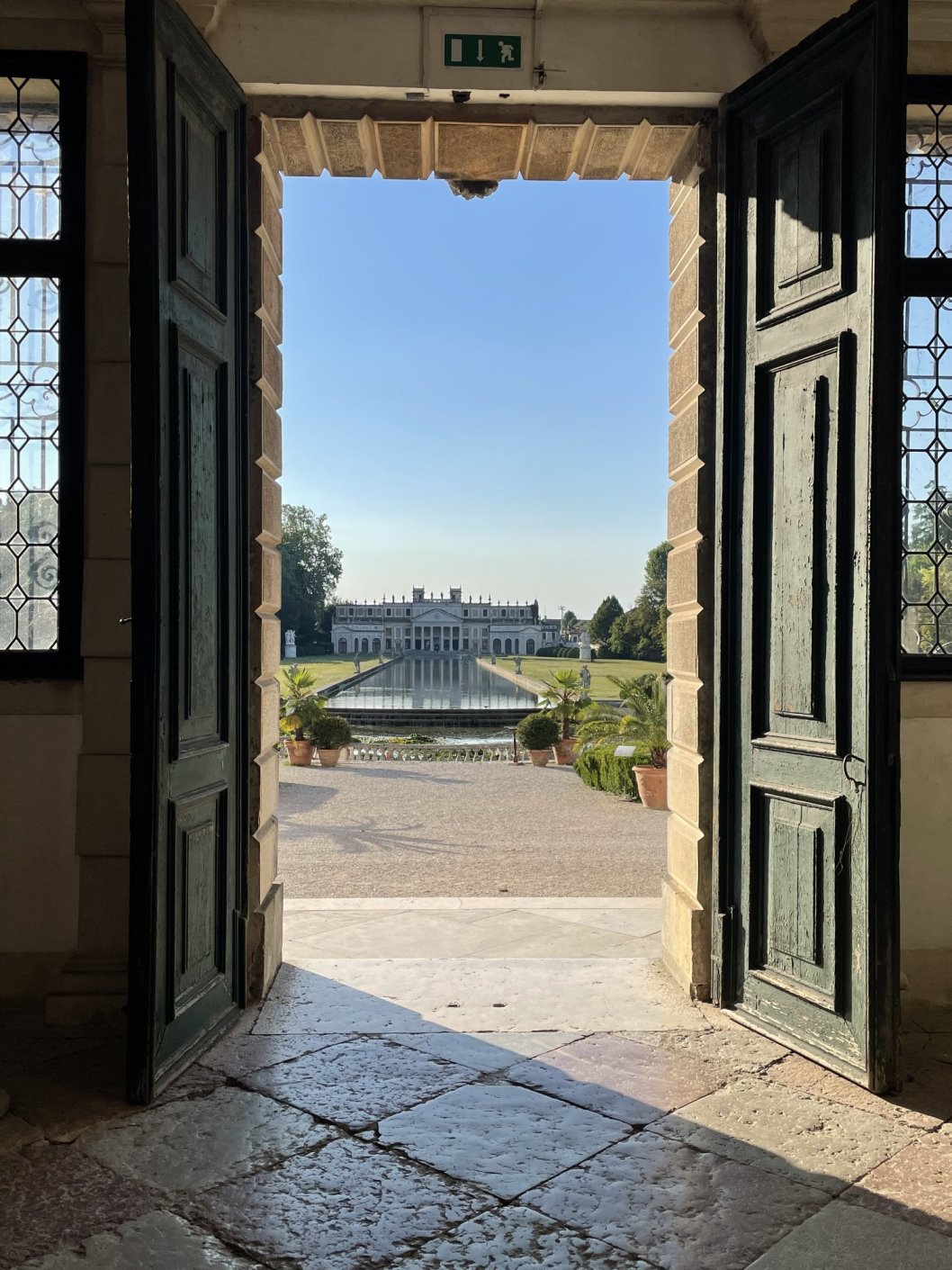
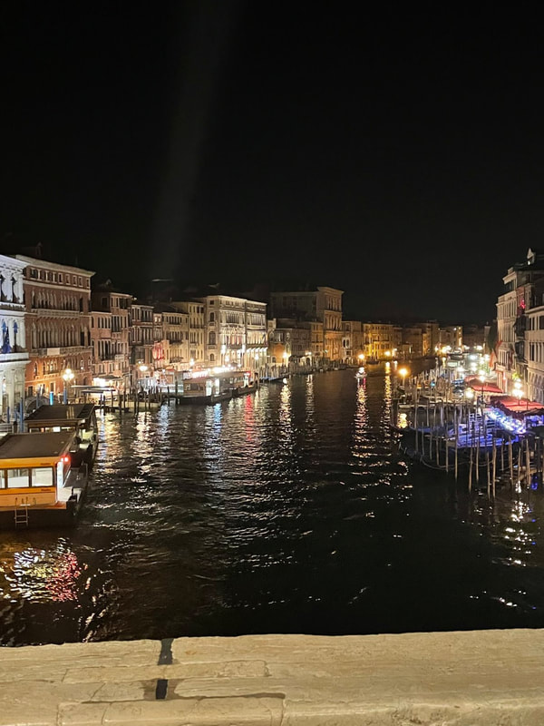
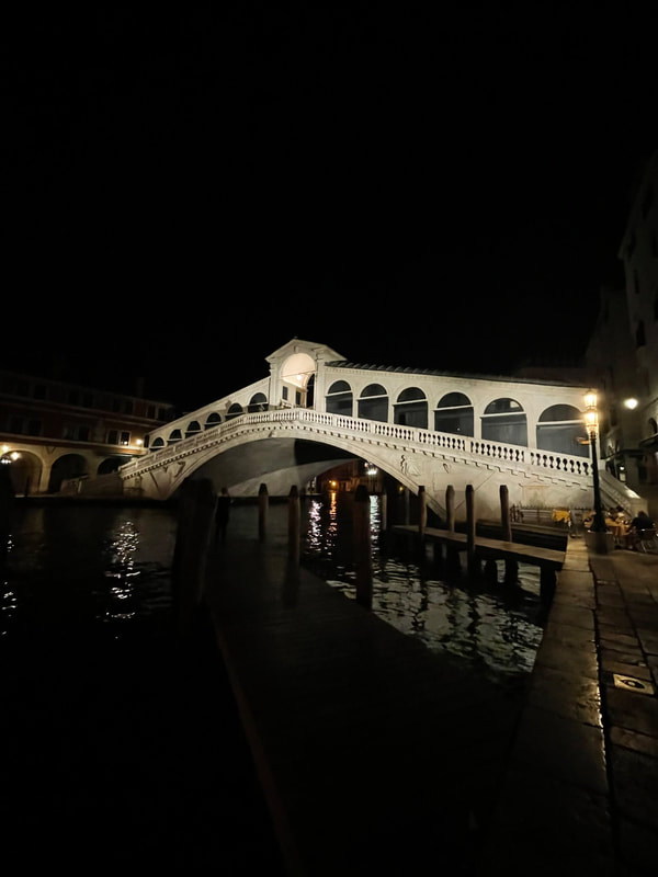
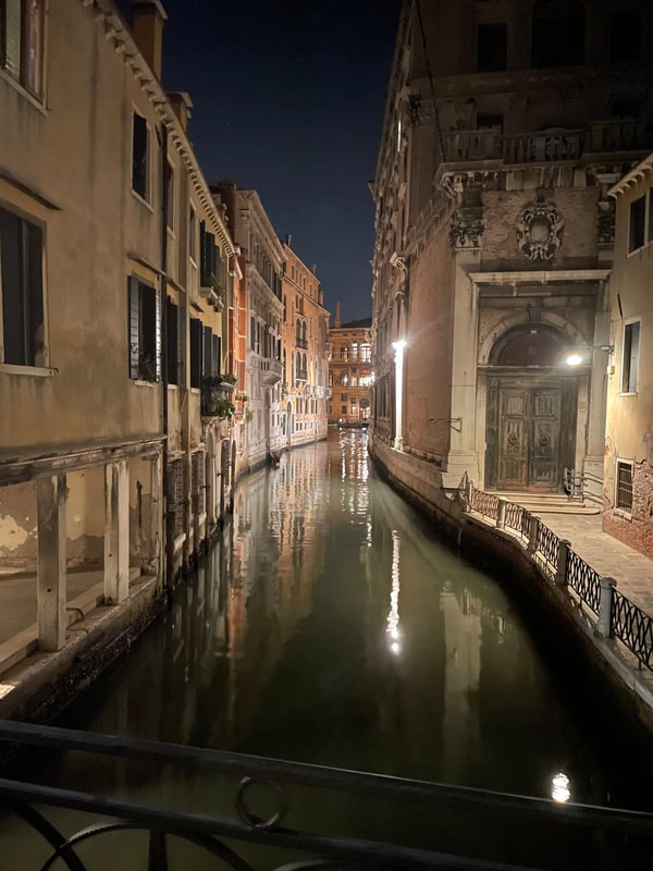
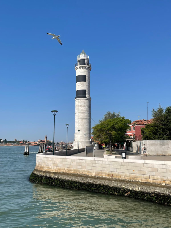
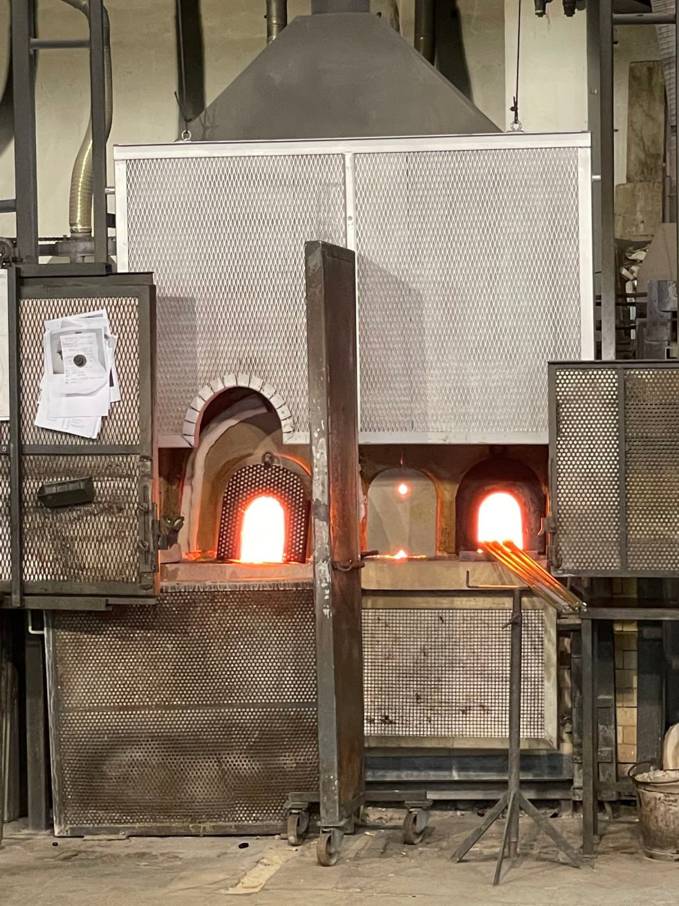
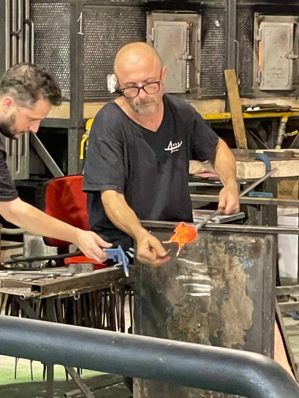
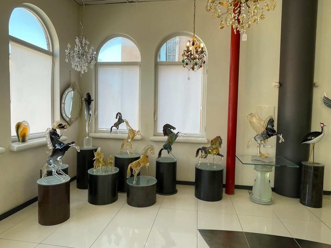
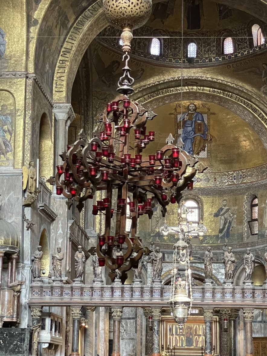
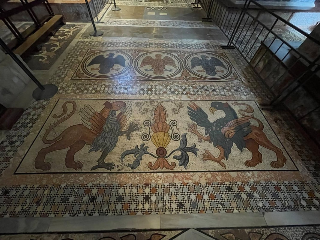
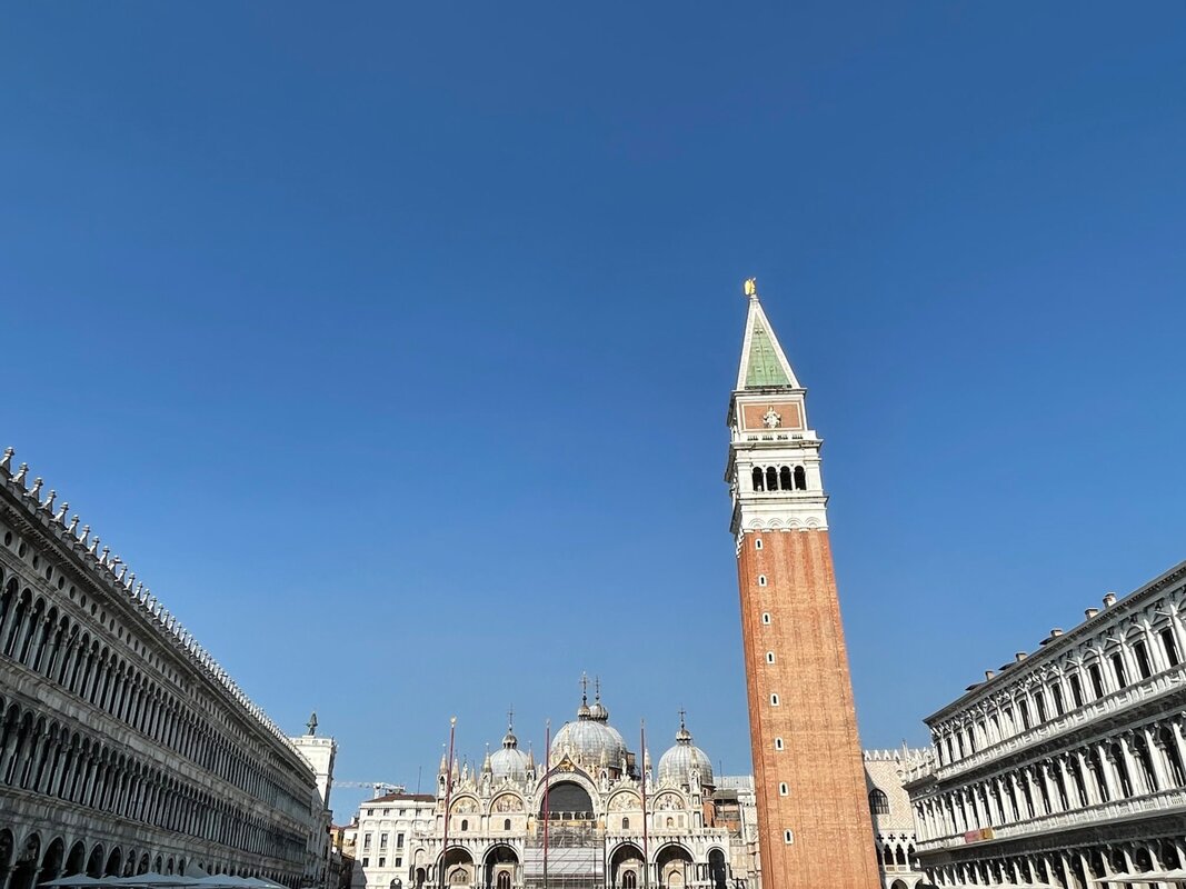
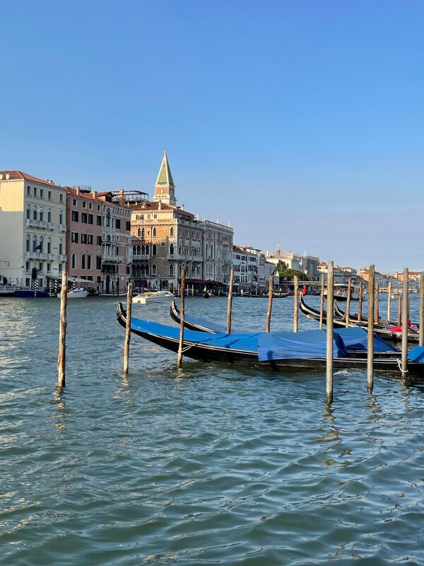
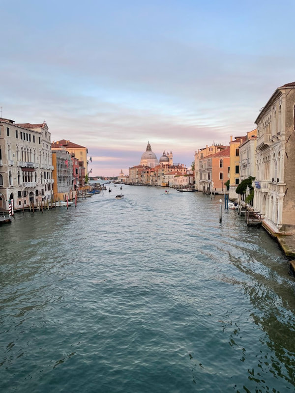
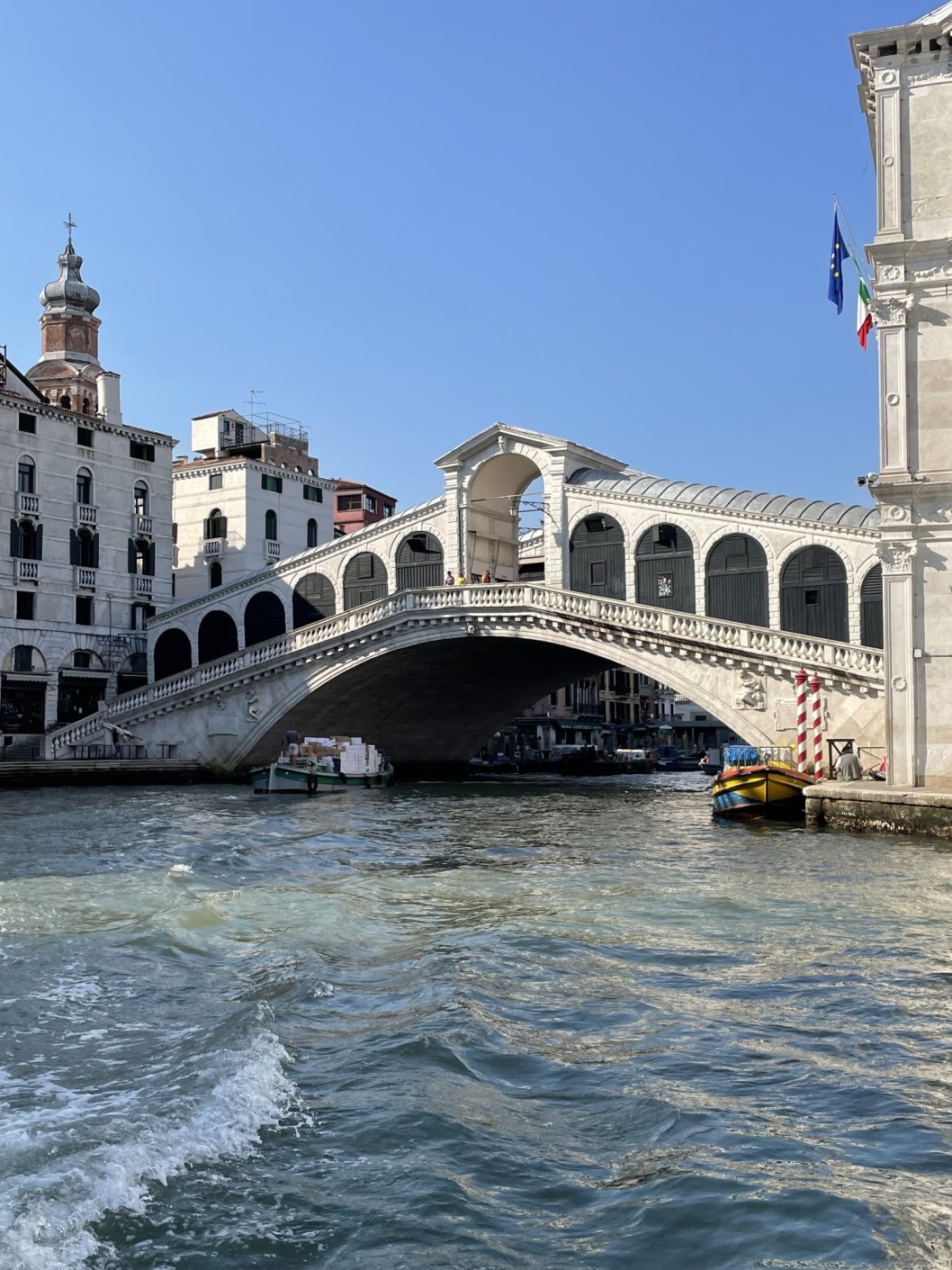
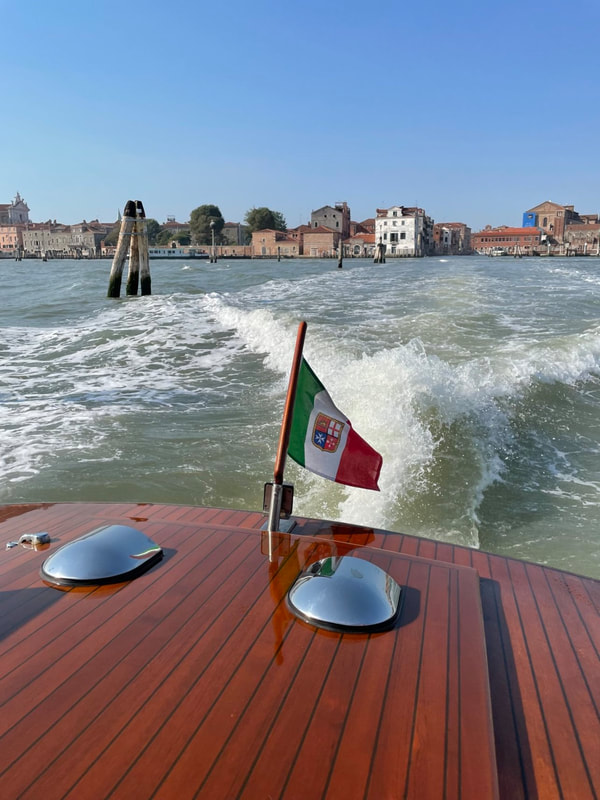
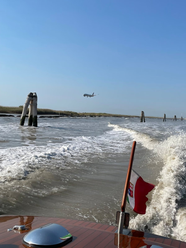
And we got to end our trip by spending three action packed days in Venice where we visited all sorts of fabulous sights to include:
- Grand Canal
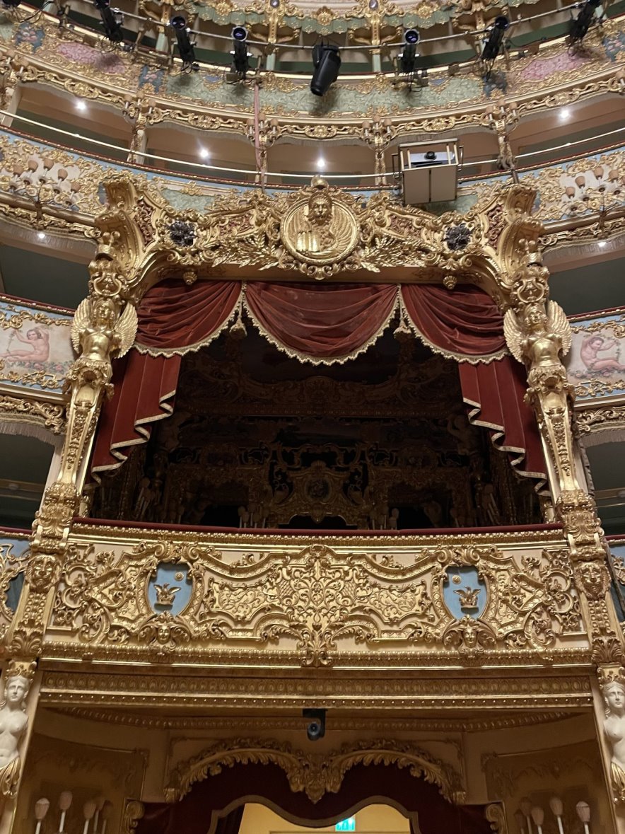
- Teatro La Fenice
- Rialto Bridge
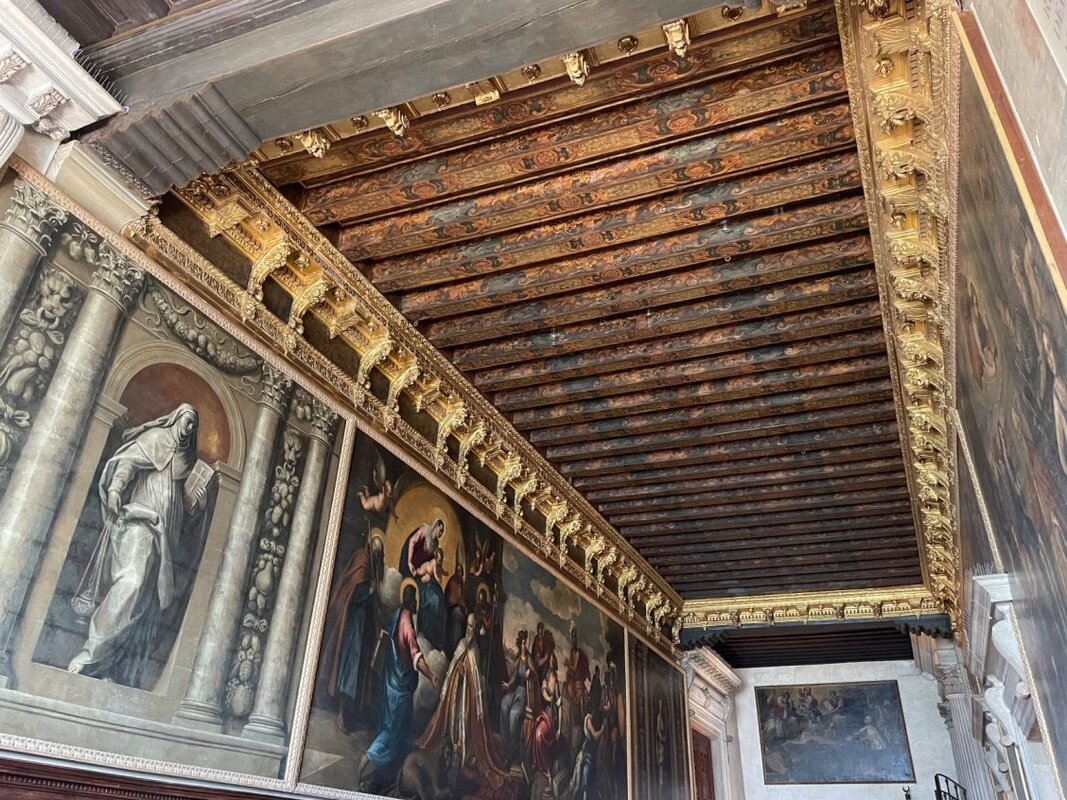
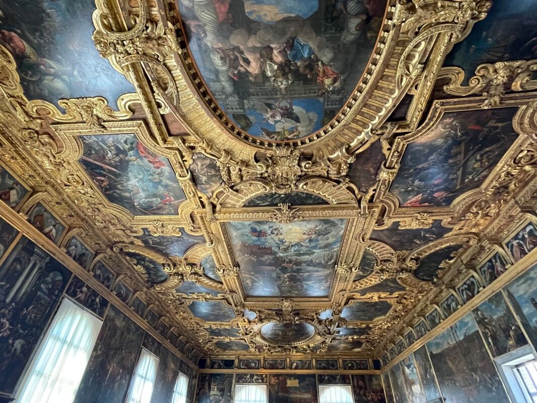
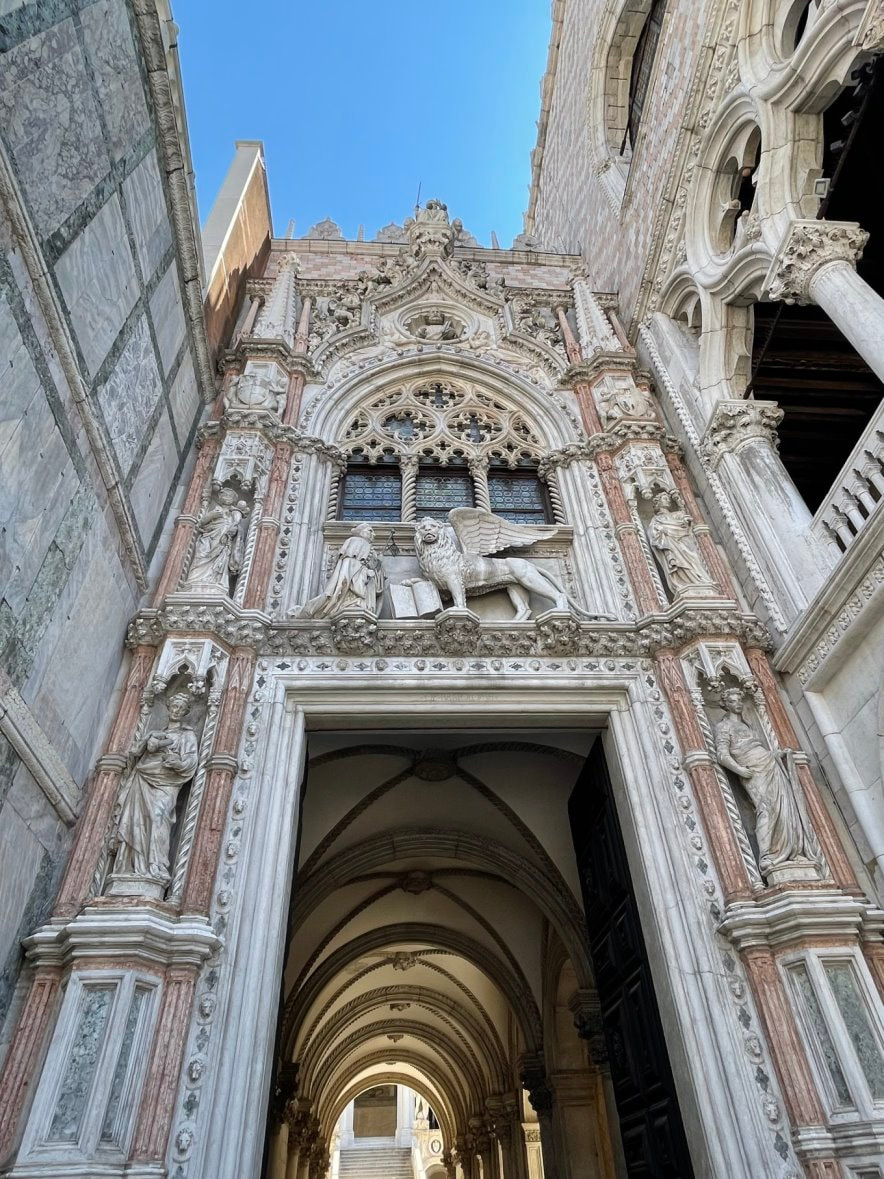
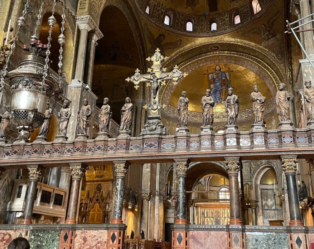
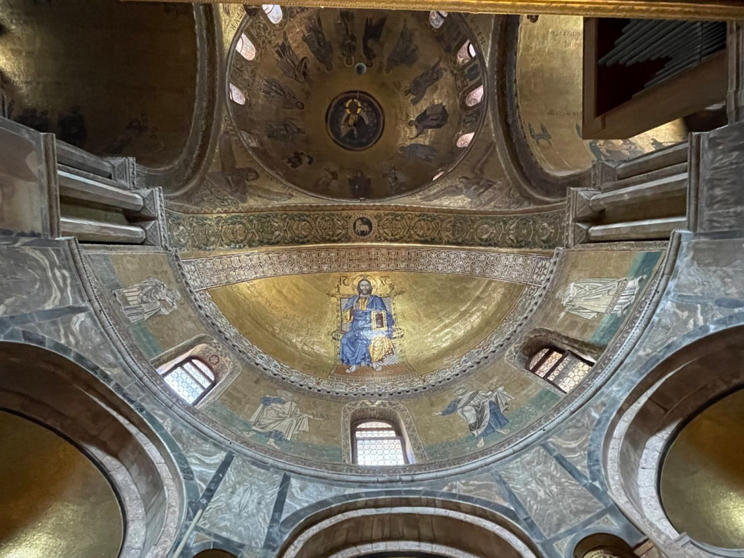
- Doge’s Palace
- Saint Mark’s Square
- Murano
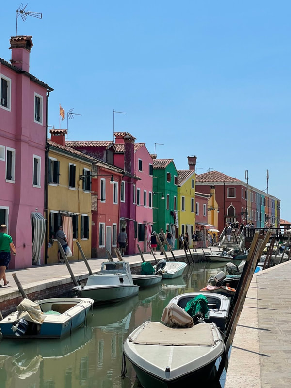
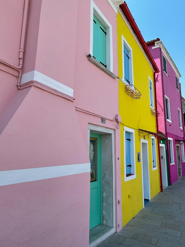
- Burano
Needless to say every day was filled new wonders. To me some of the most amazing were:
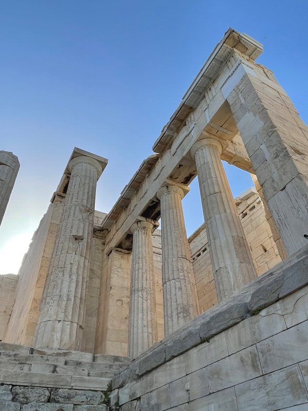
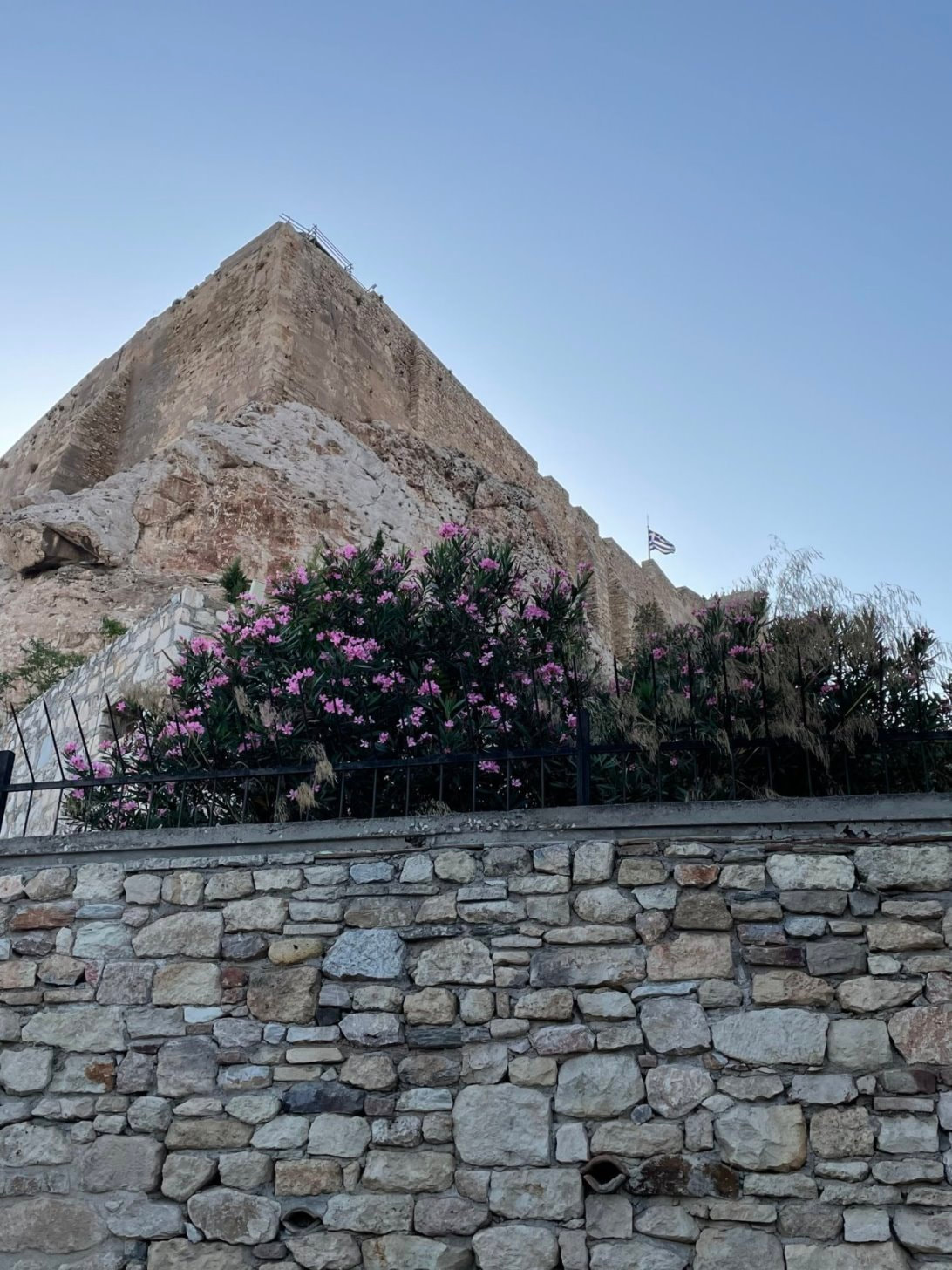
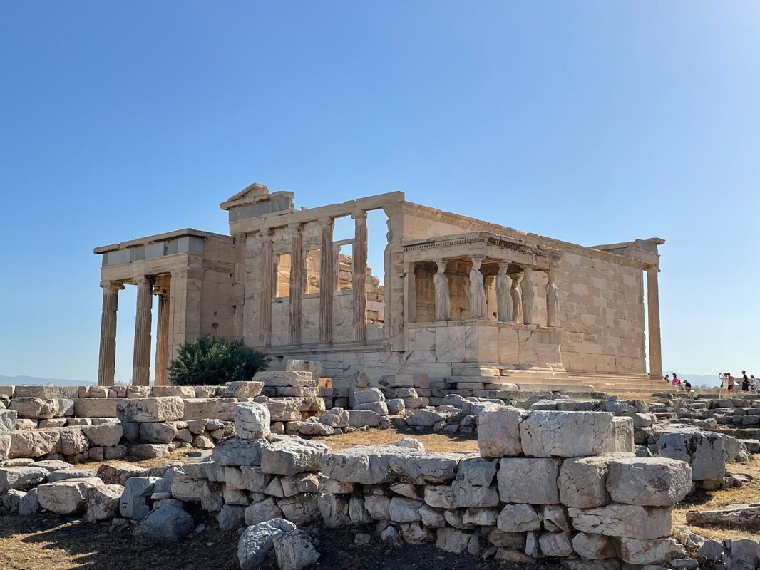
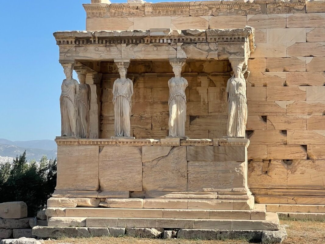
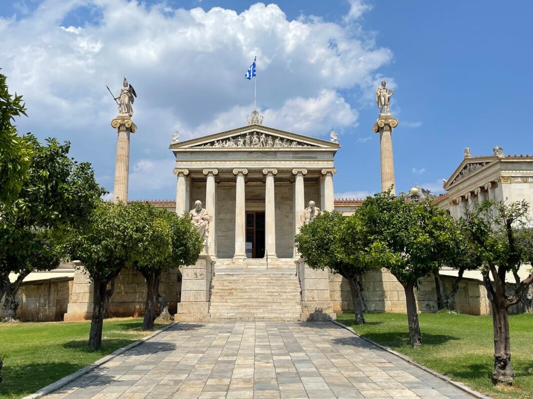
- Seeing the marvels of Athens to include the Acropolis, Parthenon, Temple of Hephaestus and Lycabettus Hill
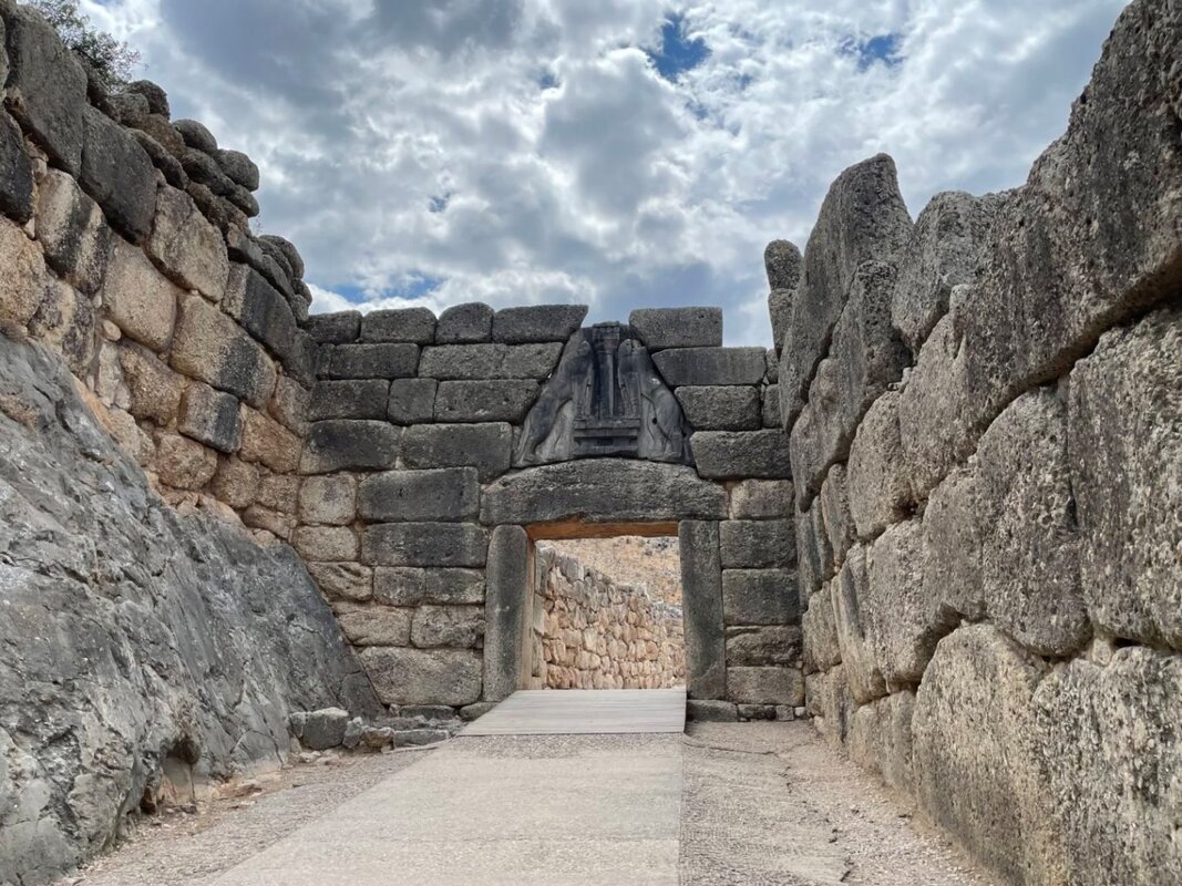
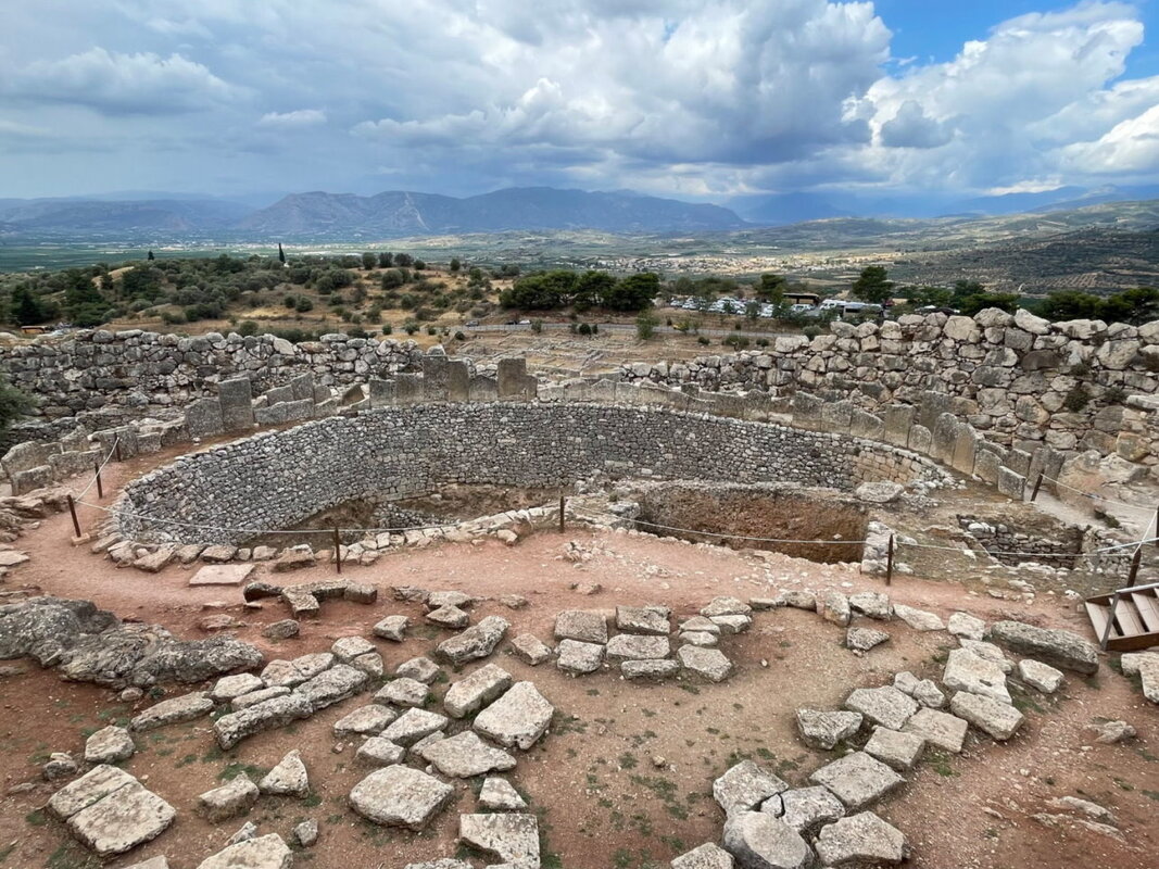
- Standing at Troy where King Priam, Hector, Paris, Helen of Troy and Achilles stood 4,000 years ago - then standing in "The Palace of Agamemnon" in Mycenae and "King Nestor's Palace" in Pylos; the palaces of two of the Greek Kings who waged the Trojan War.
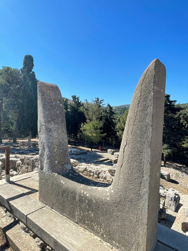
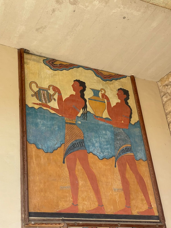
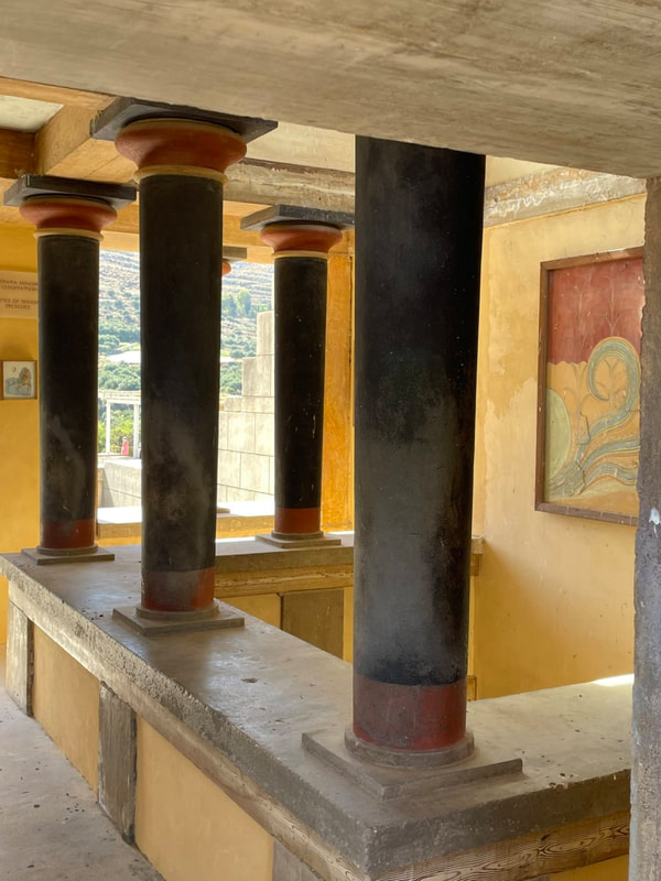
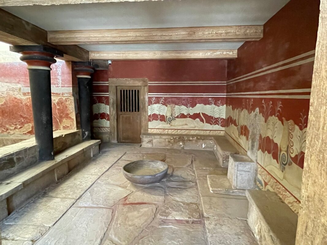
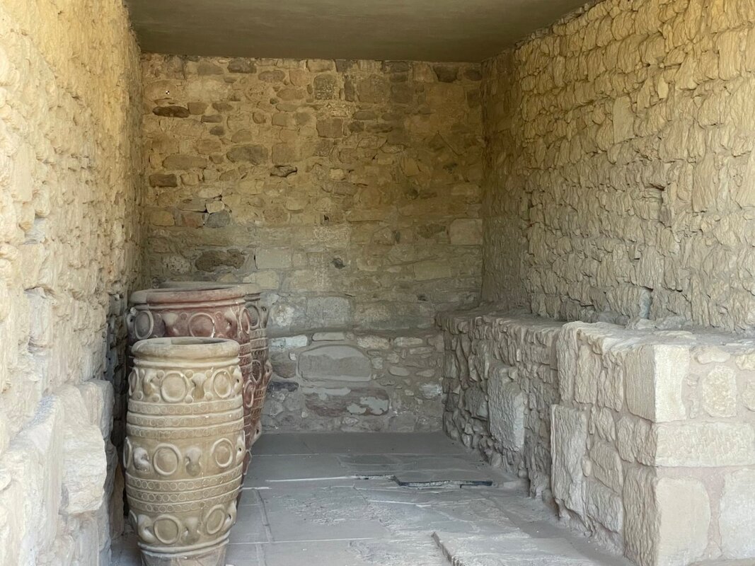
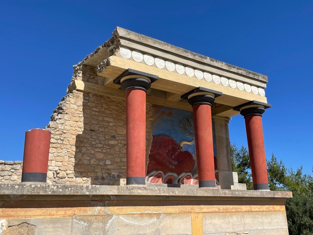
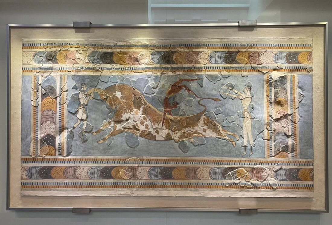
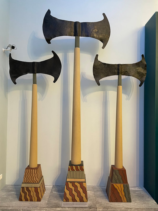
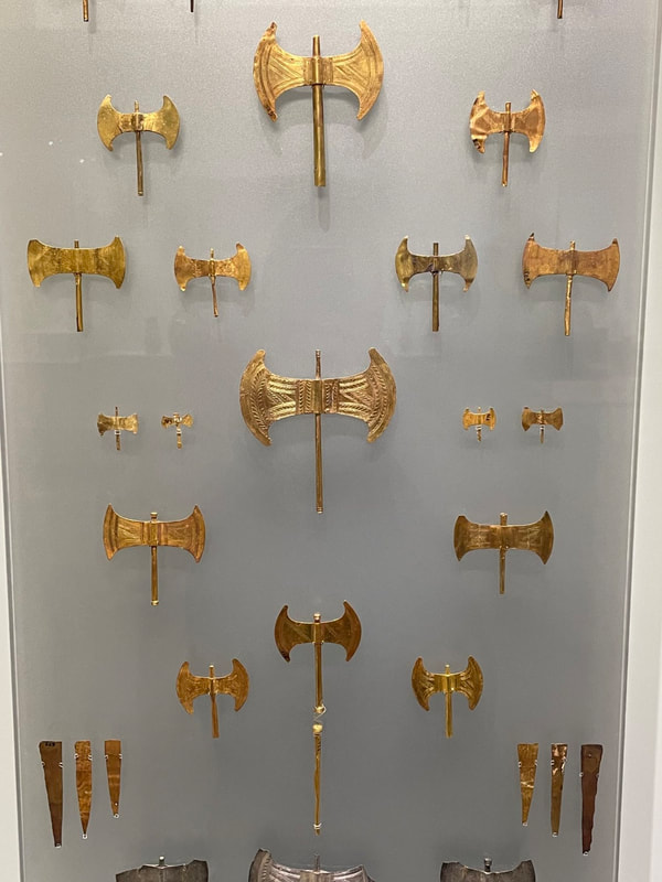
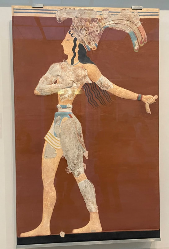
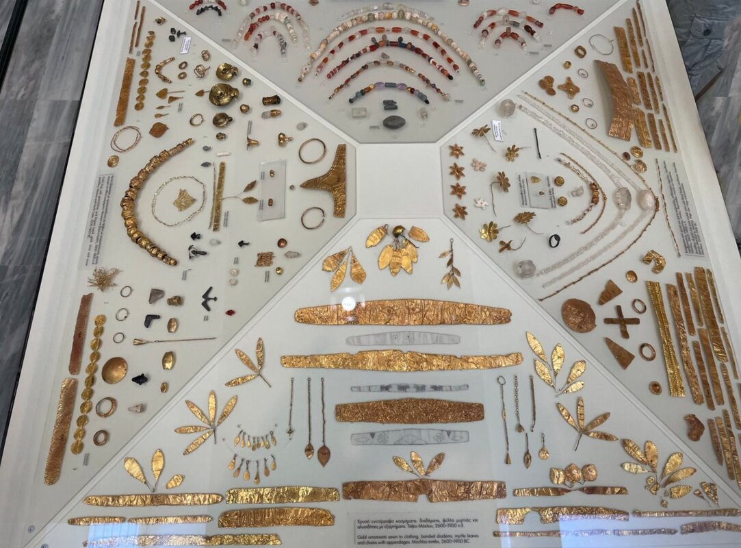
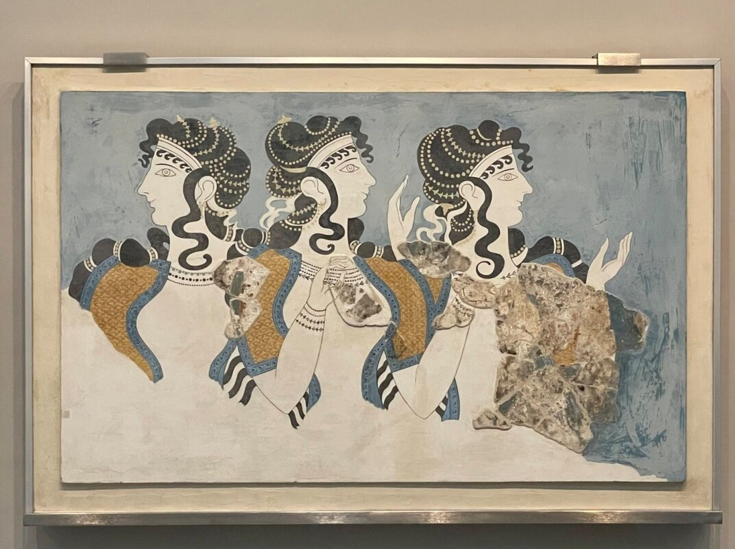
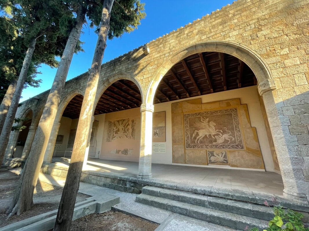
- Visiting the Palace of Knossos; the center of the Minoan Civilization dating to 1,900 BC - the largest Bronze Age archaeological site on Crete and probably Europe's oldest city.
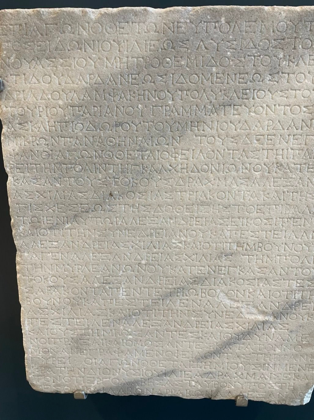
- Seeing the initial piece of a tablet that had “Linear B” writing on it; the writing system used by the Mycenaean civilization.
- Marveling at the ongoing excavations of the “Terrace Houses” in Ephesus.
- Standing above the Corinth Canal
- Standing where the Apostle John wrote the Book of Revelation, where the Apostle Paul spoke to the Corinthians, and where the Apostle Mark is interred.
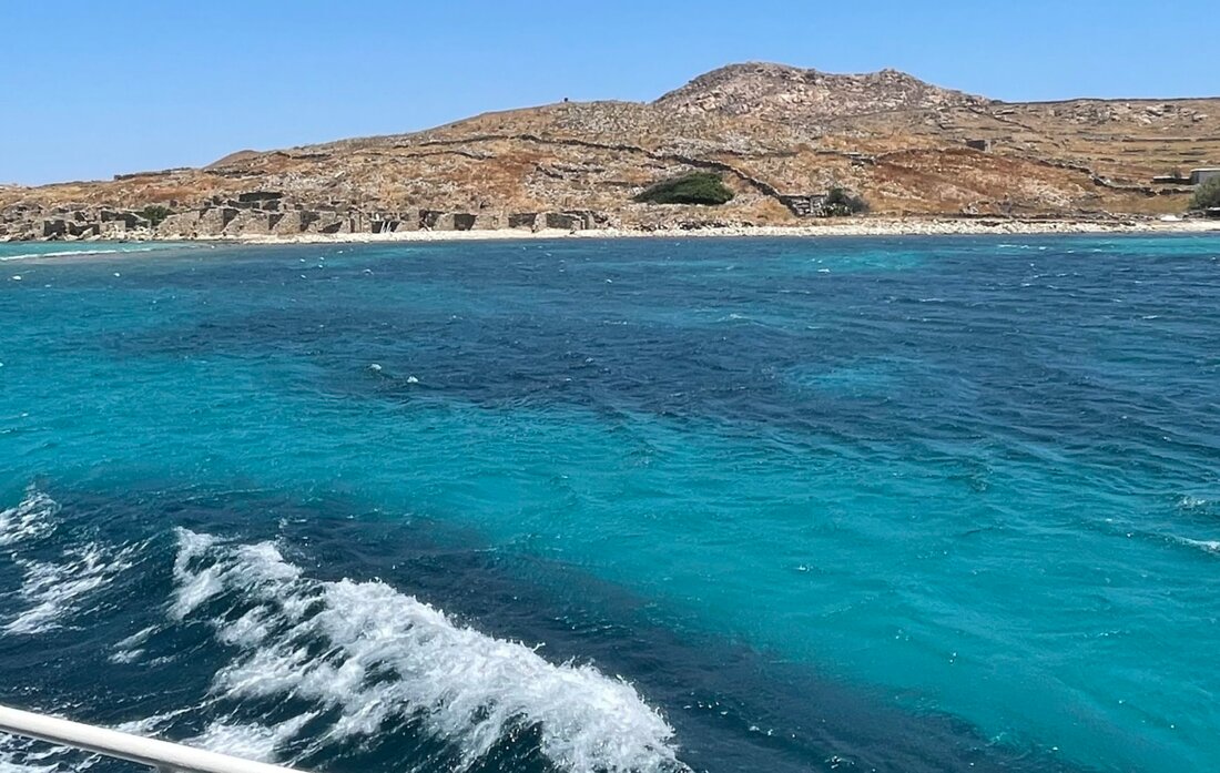
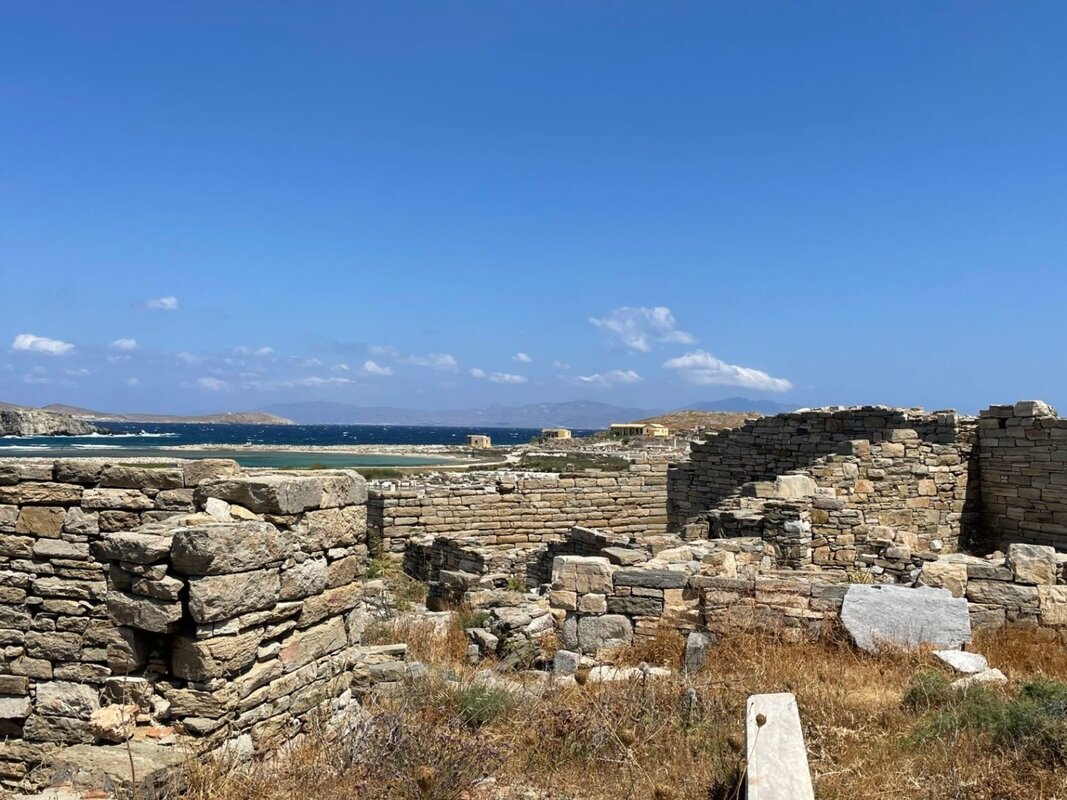
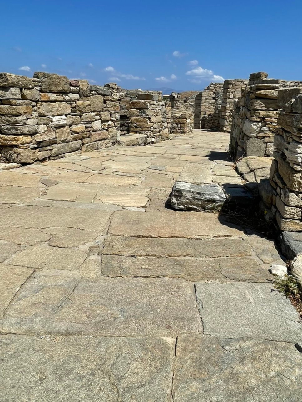
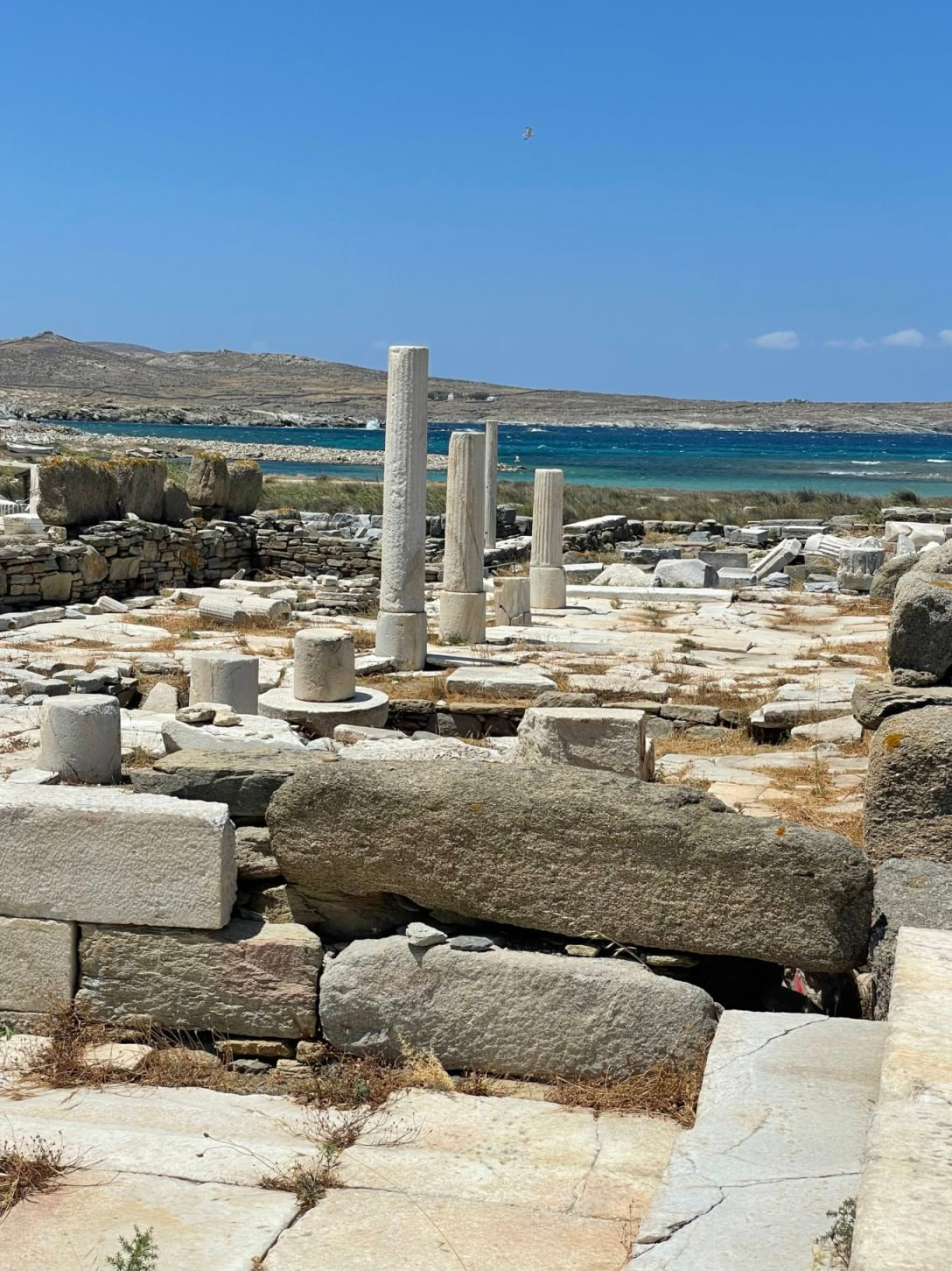
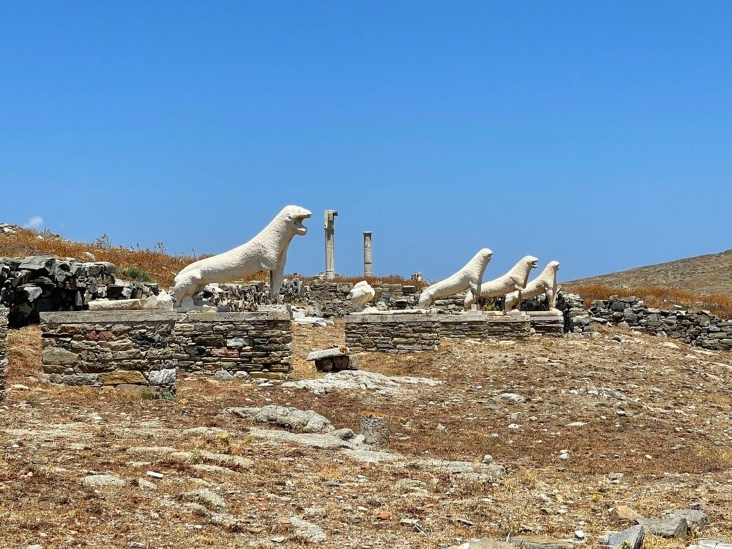
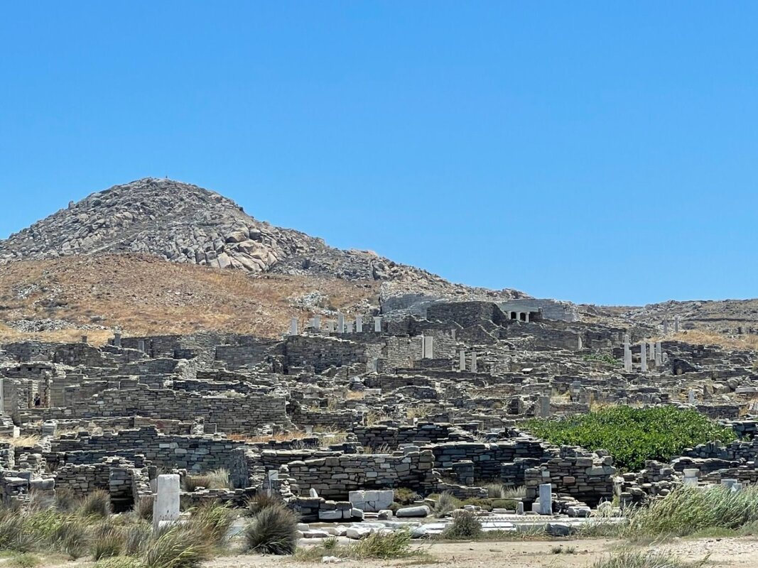
- Visiting Delos - the mythological birthplace of Apollo
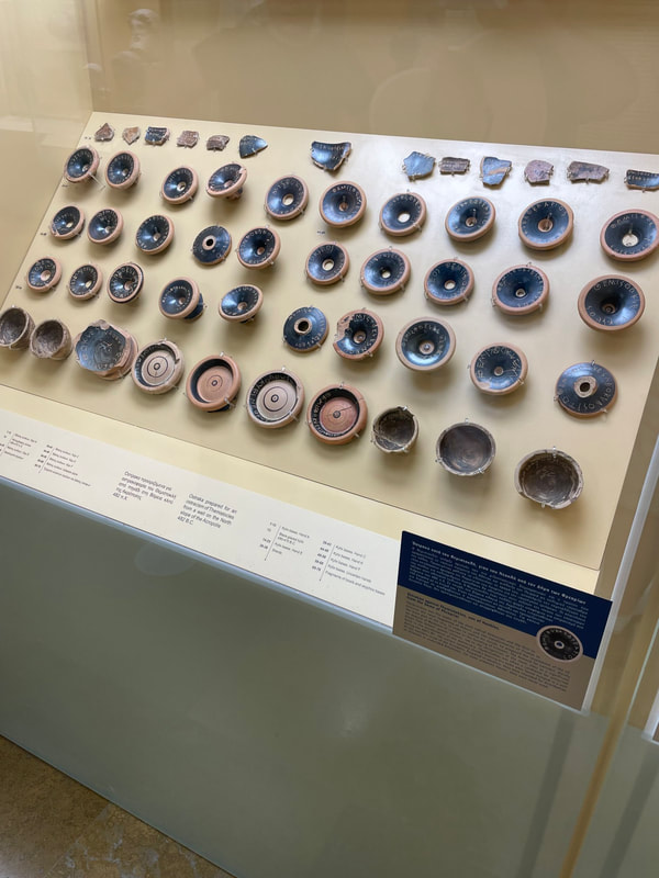
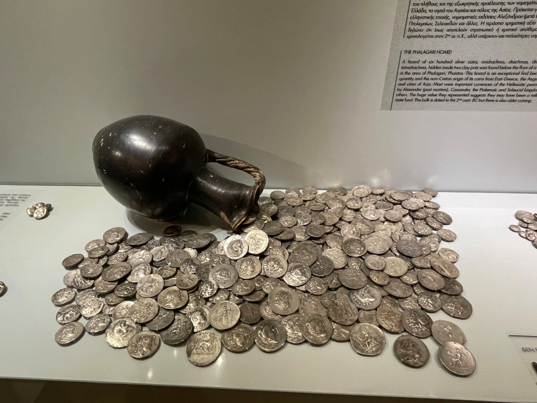
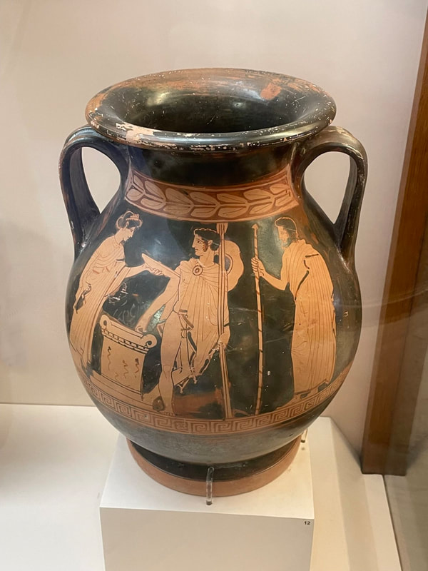
- Seeing the actual pottery "ballots" that were cast to ostracize Themistocles from Athens in 471 BC.
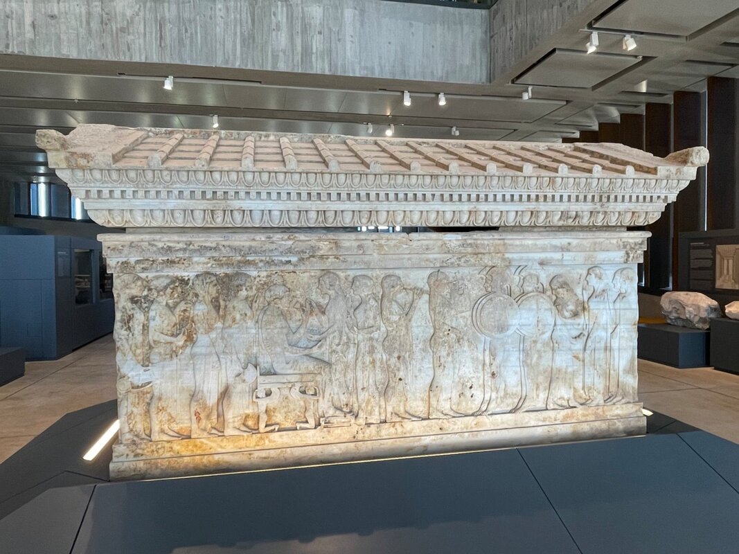
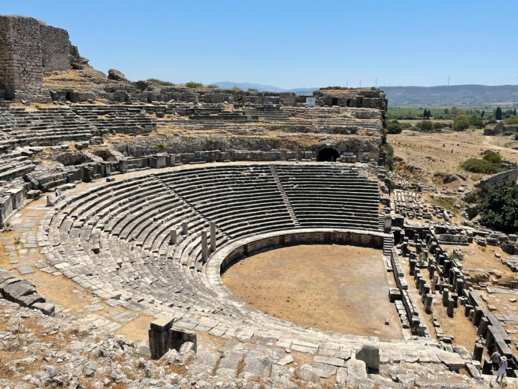
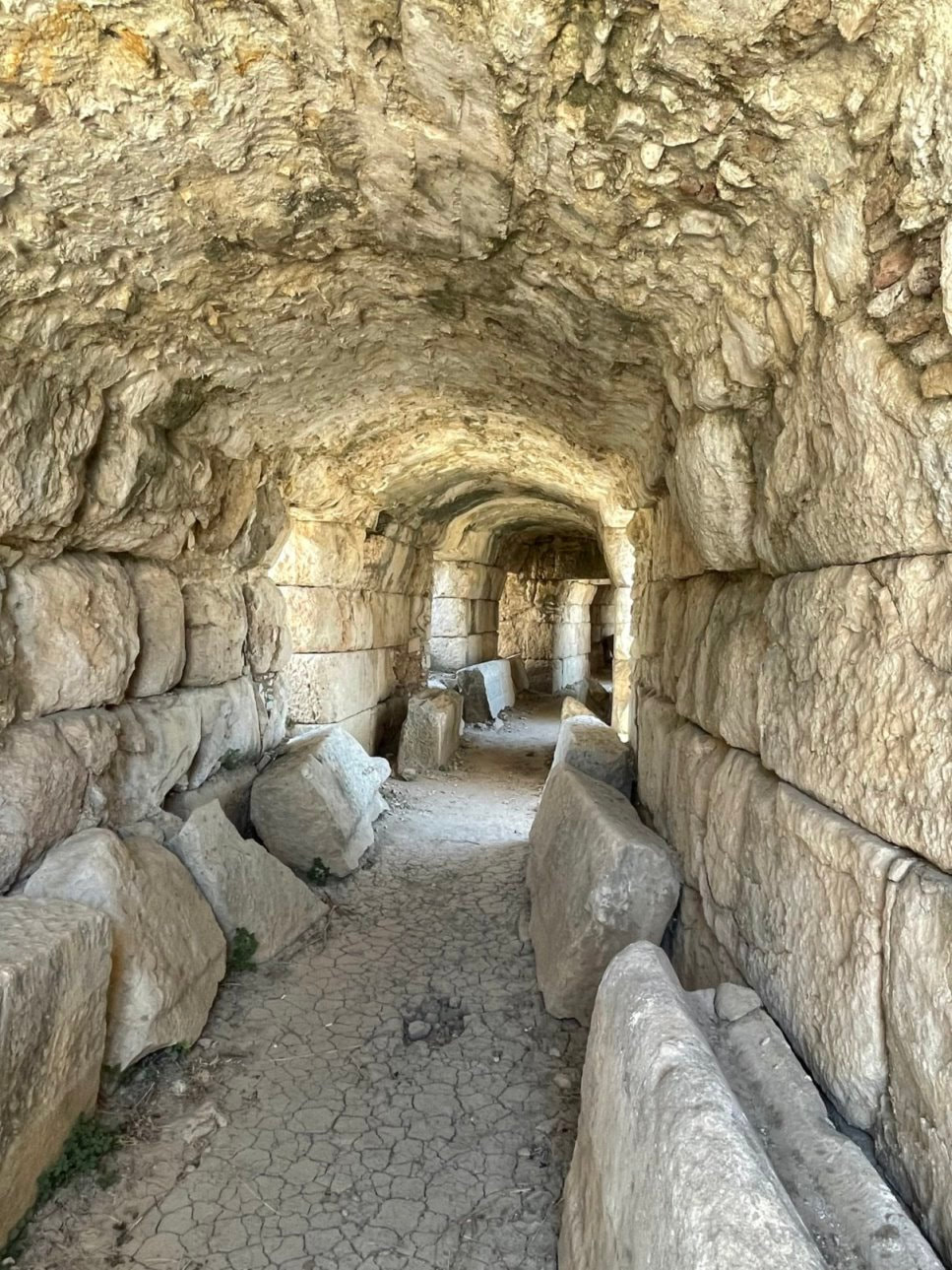
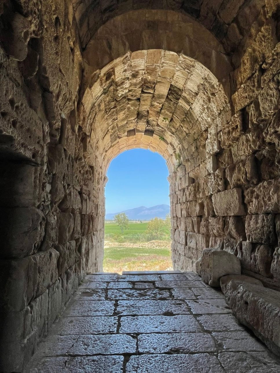
- Sitting in the Roman Amphitheaters in Ephesus and Miletus.
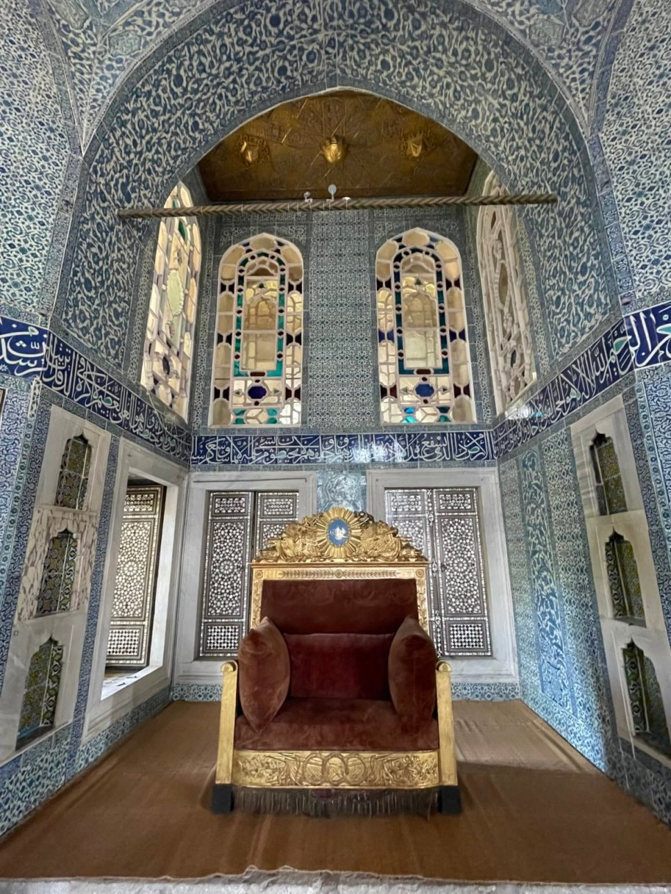
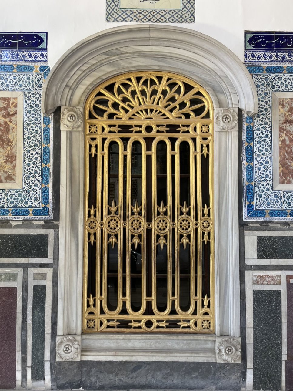
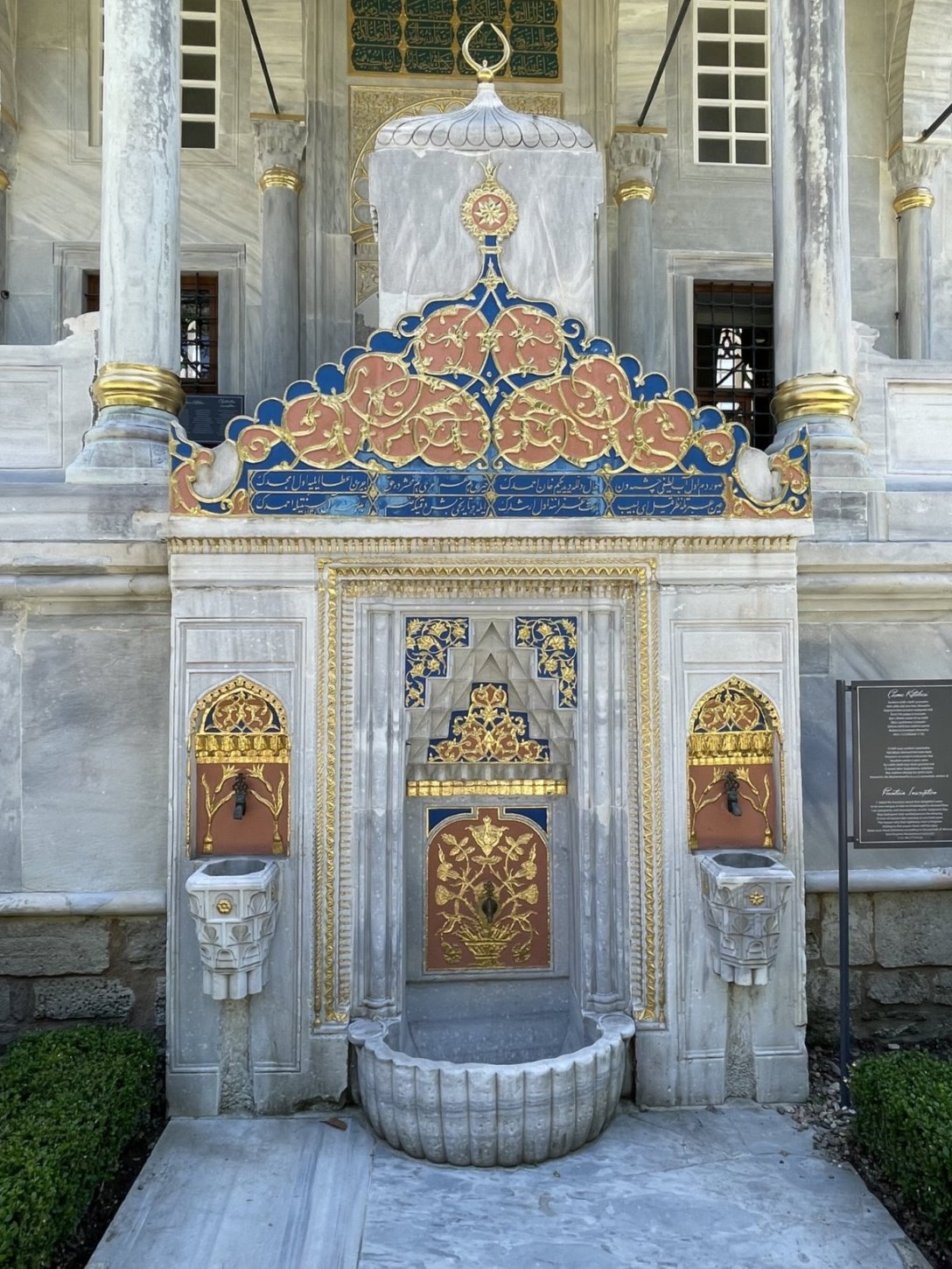
- Seeing the internal expanse of the Hagia Sophia and the beauty of the Topkapi Palace and Blue Mosque in Istanbul.
- Standing in the Temple of Apollo in Didyma.
- Wandering through all the Venetian Forts in the Aegean Sea.
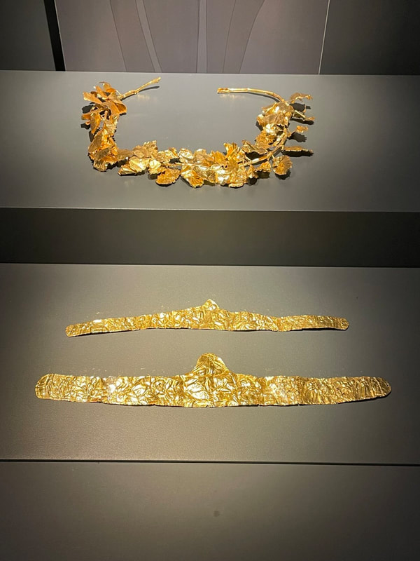
- Wondering how much gold there is in the Doge’s Palace in Venice.
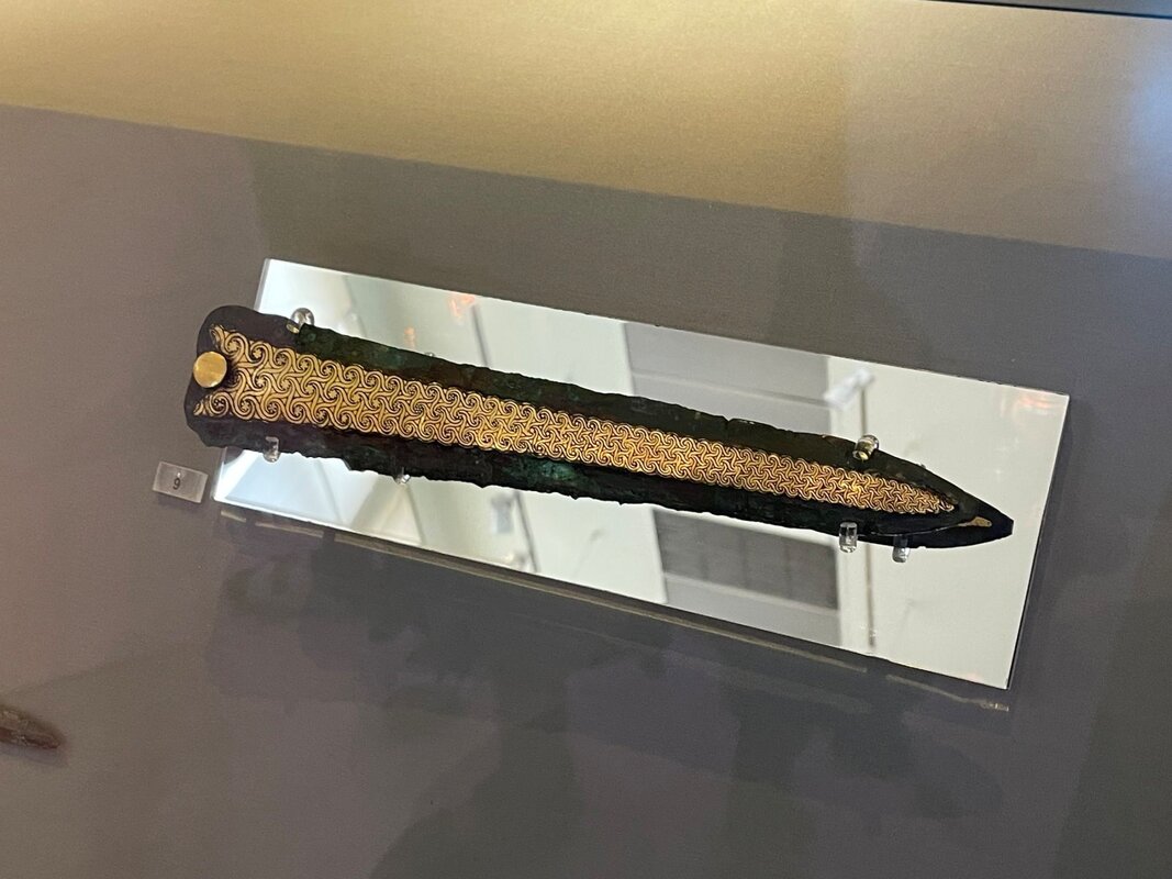
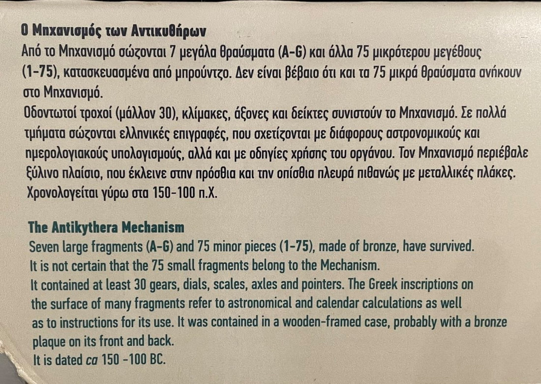
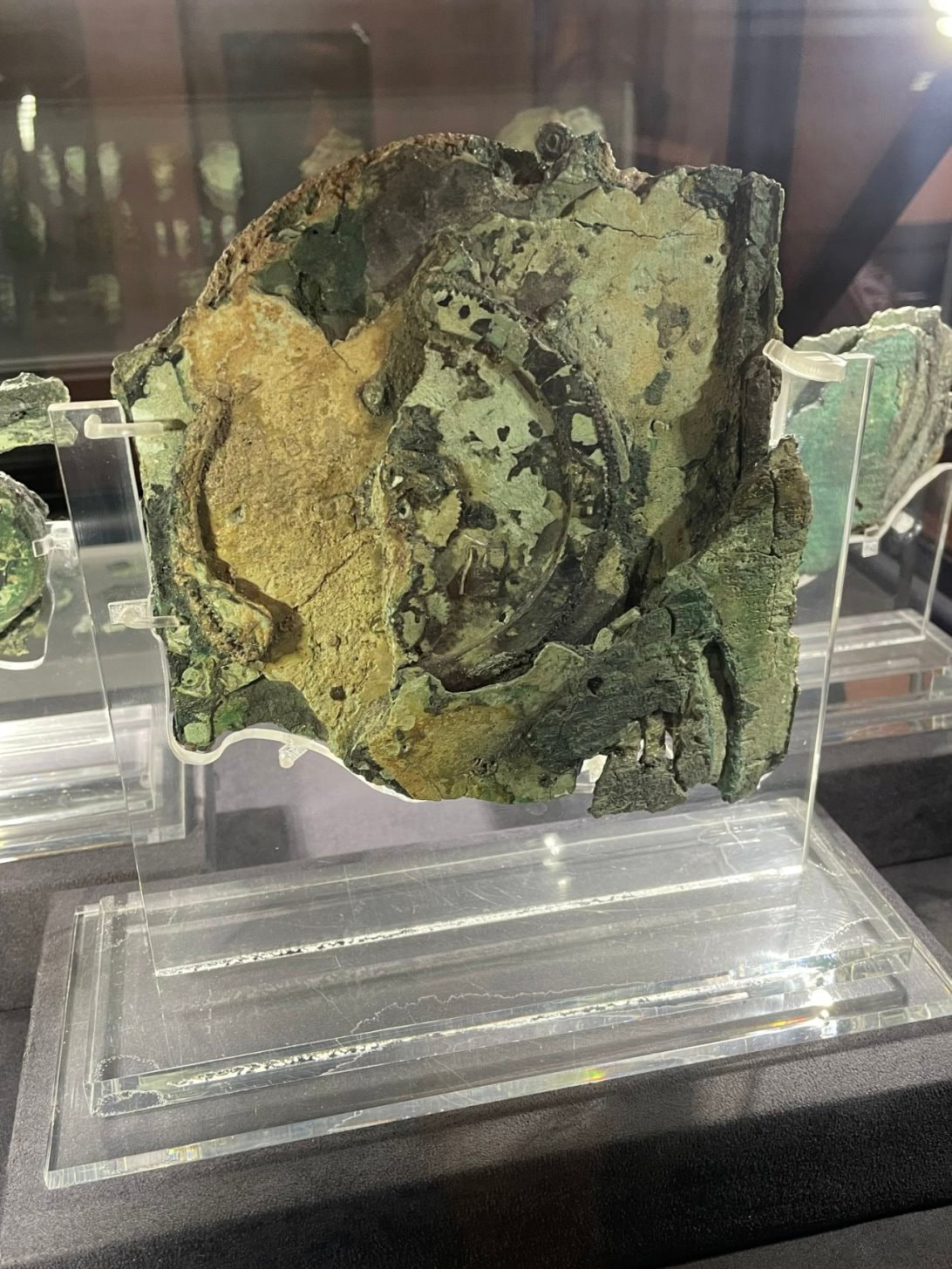
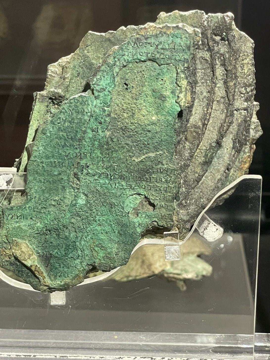
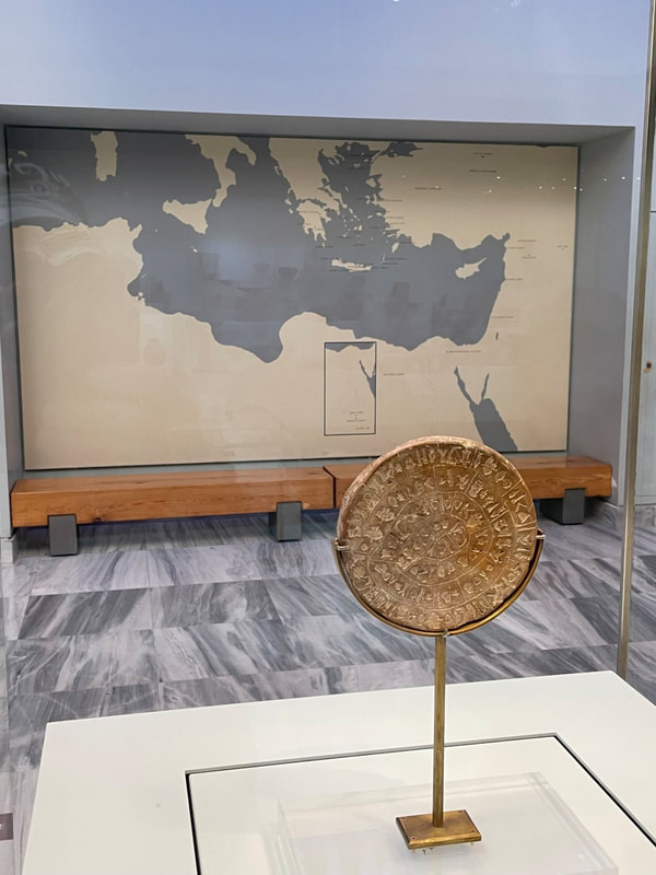
- Seeing the actual Antikythera mechanism; a celestial navigation “computer” dating from 205 to 100 BC.
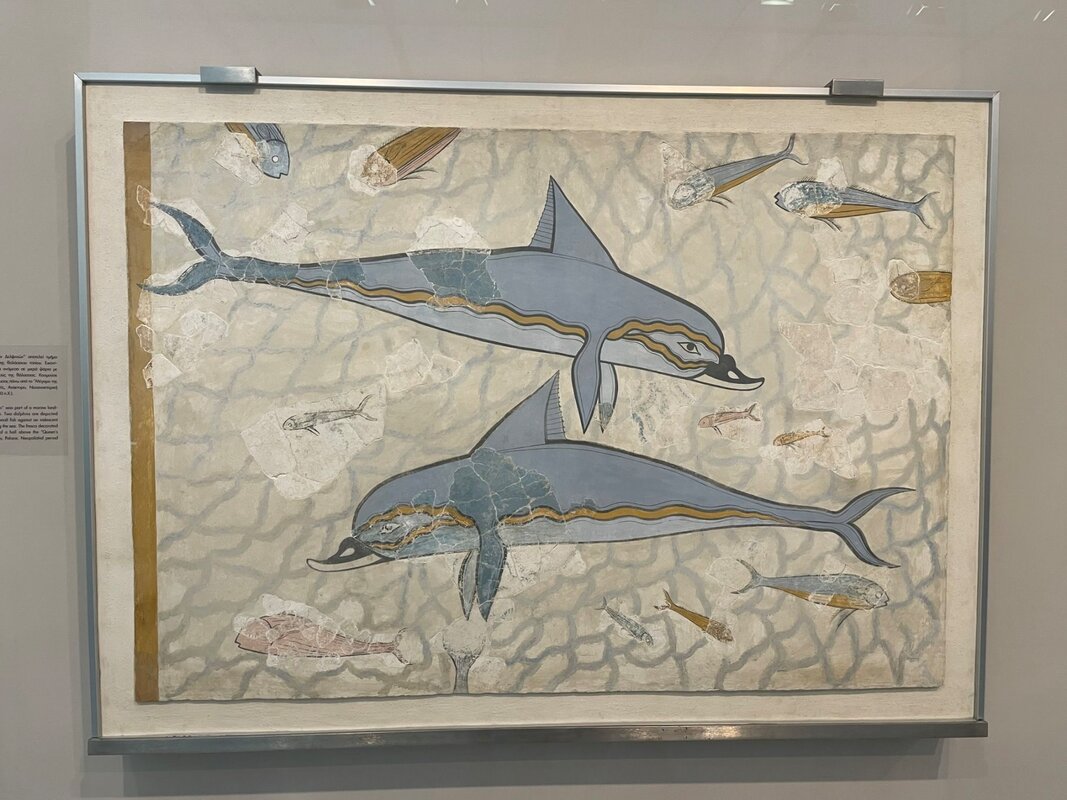
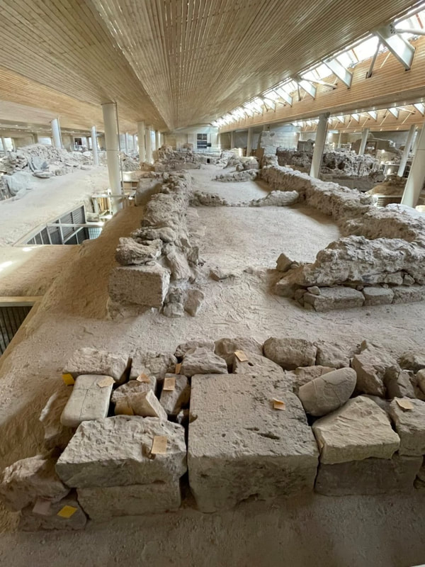
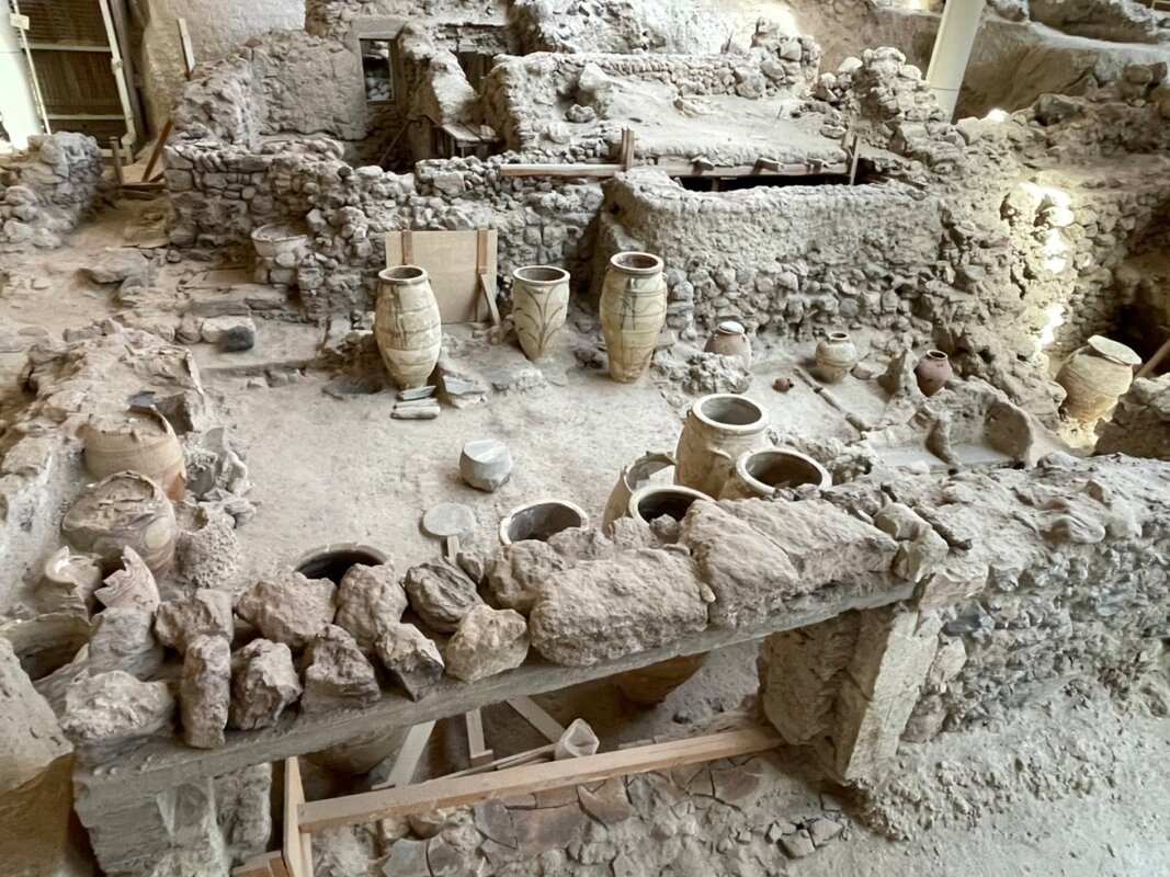
- Visiting the Ancient site of Akrotiri; which was covered in ash by the volcanic eruption of volcanic eruption of Santorini (Thera) in 1,600 BC.
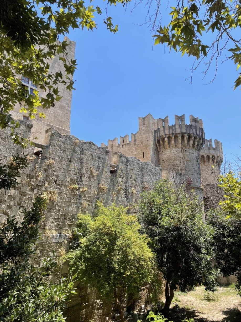
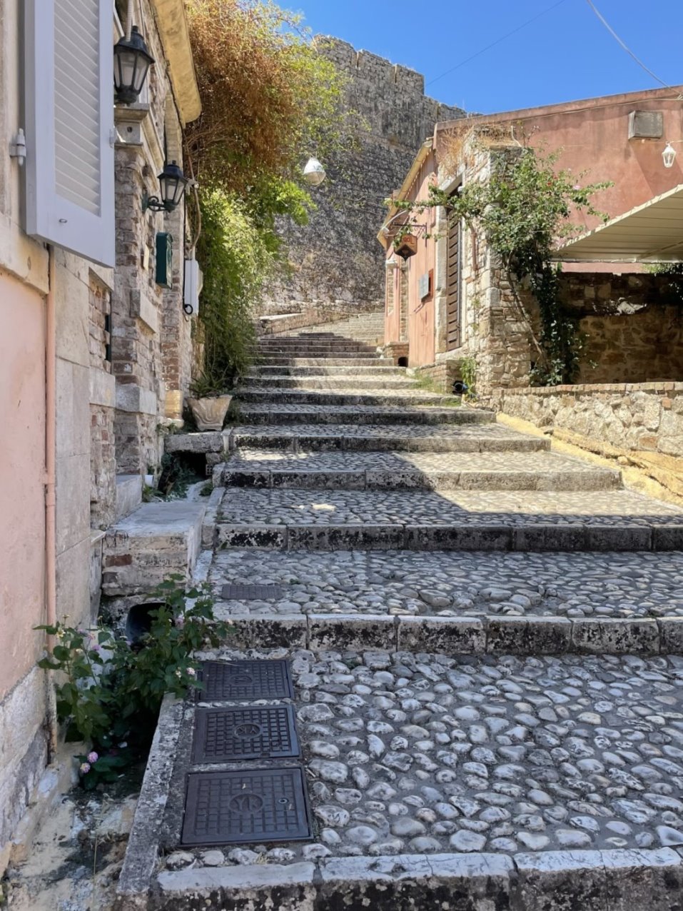
- Roaming through the cobbled streets of the Medieval city of the Hospitilar Knights in Rhodes.
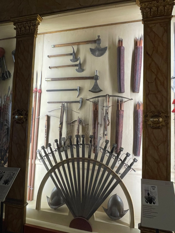
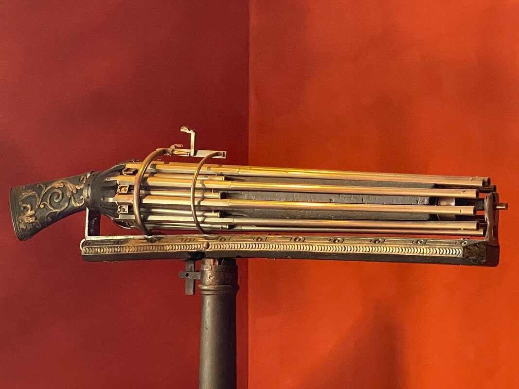
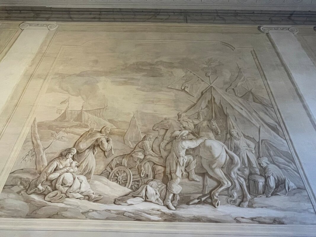
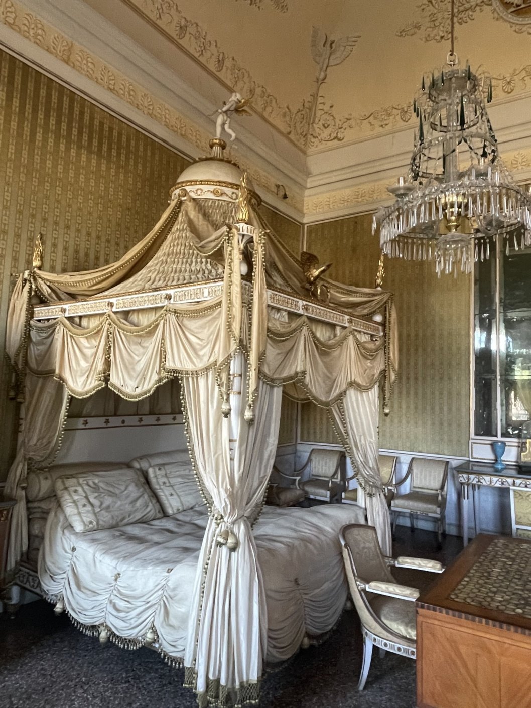
- Visiting the bedroom of Napoleon Bonaparte at the Villa Pisani.
There was so much to see that it was almost overwhelming.......
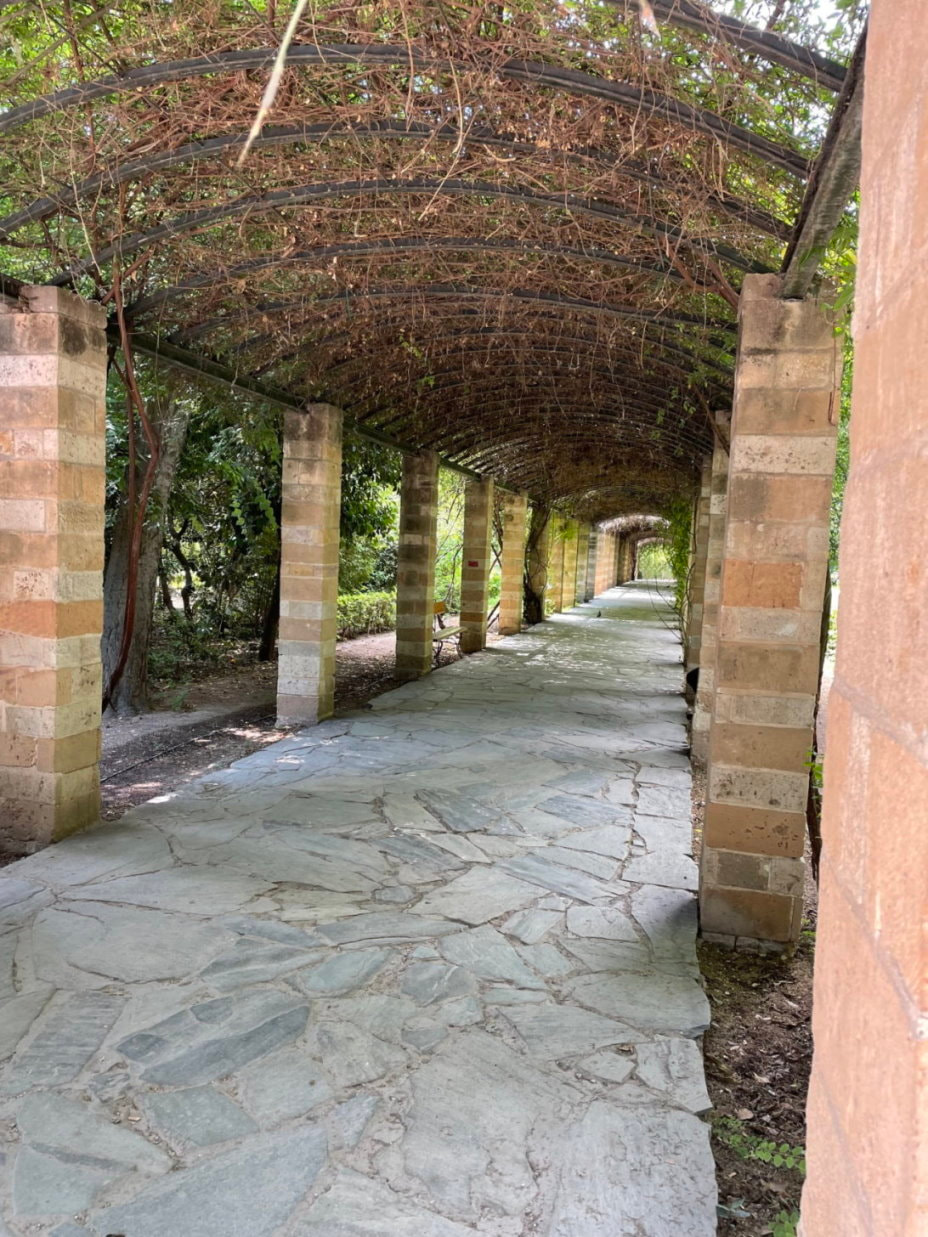
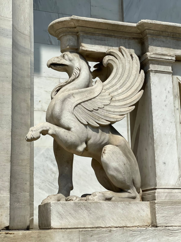
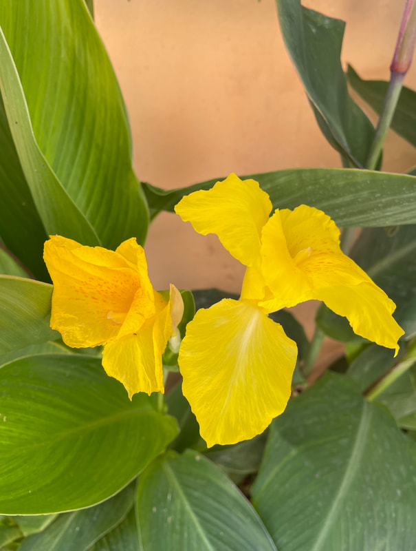
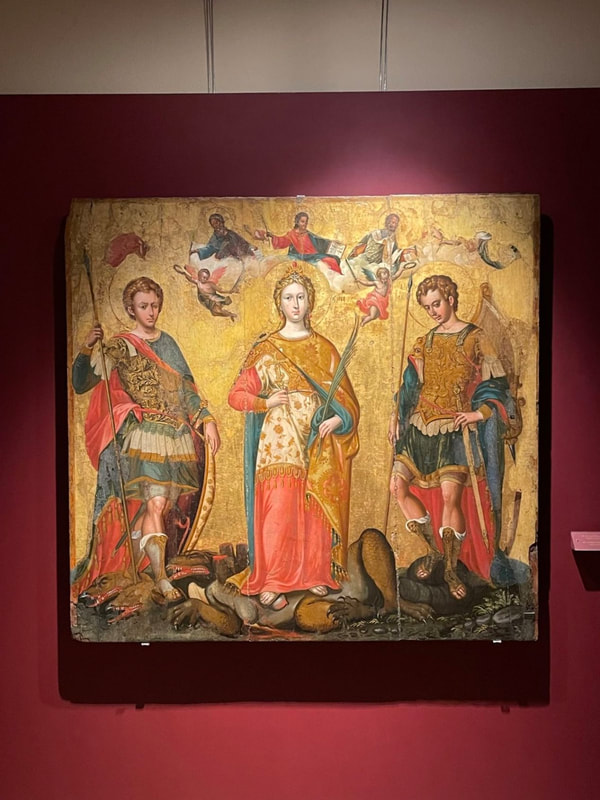
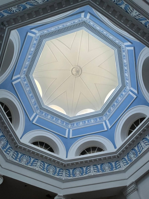
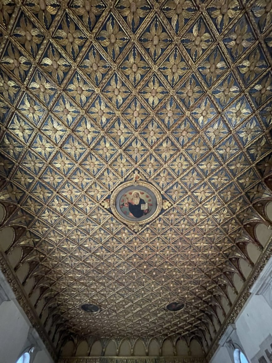
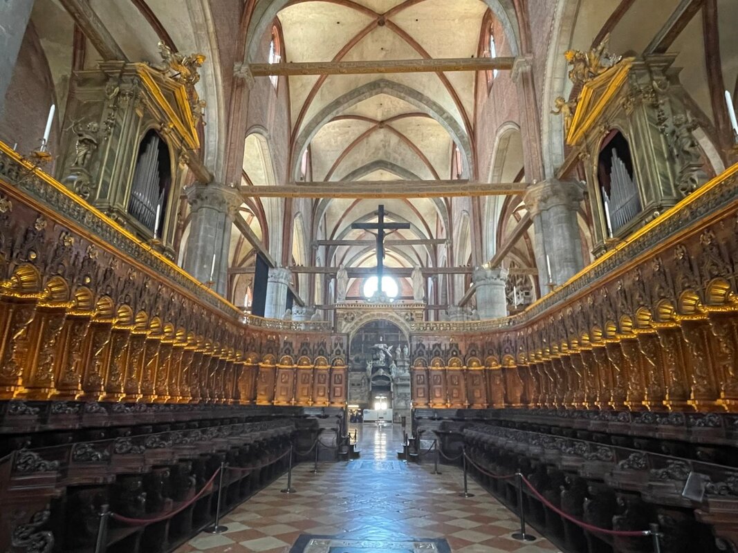
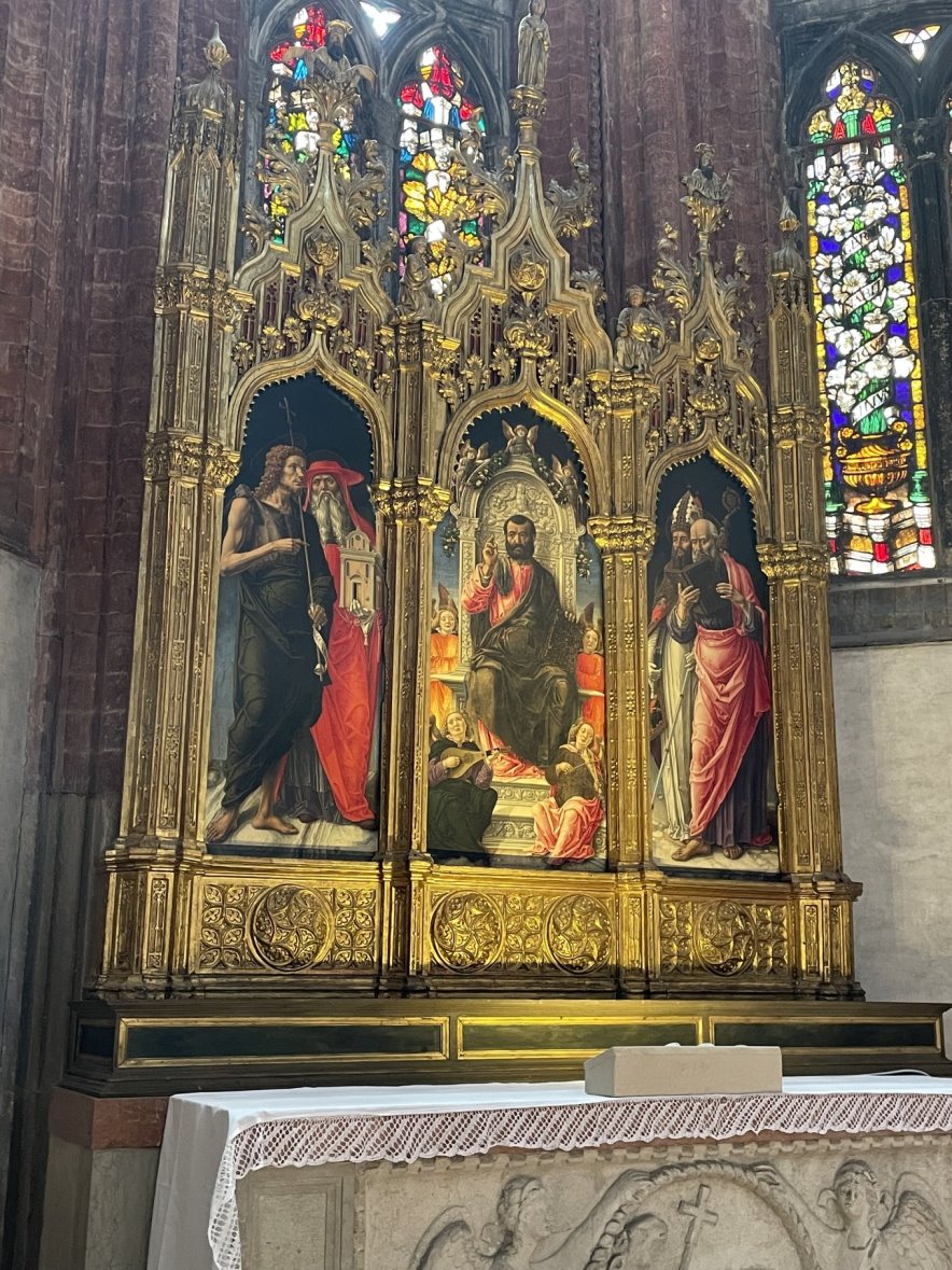
Here are a few photos from our trip. As always, I'll post more photos on the “Adventures/Europe” page when I have a chance to review and edit the 4,700 photos that I took.


What's On This Page?
Here's where we post reviews, questions, answers, thoughts and other information that's of general interest to our followers in a blog format.
Categories
All
Adventures
Camping
Disaster Preparedness
Hiking
Interesting Gear
New Gear
Our Thoughts
Shooting
Site Additions
Trade Shows
Website Statistics
Archives
August 2023
June 2023
March 2023
February 2023
January 2023
December 2022
November 2022
October 2022
September 2022
August 2022
July 2022
June 2022
May 2022
April 2022
March 2022
February 2022
January 2022
December 2021
November 2021
October 2021
September 2021
August 2021
July 2021
June 2021
May 2021
April 2021
March 2021
February 2021
January 2021
December 2020
November 2020
October 2020
September 2020
August 2020
July 2020
June 2020
May 2020
April 2020
March 2020
February 2020
January 2020
December 2019
November 2019
October 2019
September 2019
August 2019
July 2019
June 2019
May 2019
April 2019
March 2019
February 2019
January 2019
December 2018
November 2018
October 2018
September 2018
August 2018
July 2018
June 2018
May 2018
April 2018
March 2018
February 2018
January 2018
December 2017
November 2017
October 2017
September 2017
August 2017
July 2017
June 2017
May 2017
April 2017
March 2017
February 2017
January 2017
December 2016
November 2016
October 2016
September 2016
July 2016
June 2016
May 2016
 RSS Feed