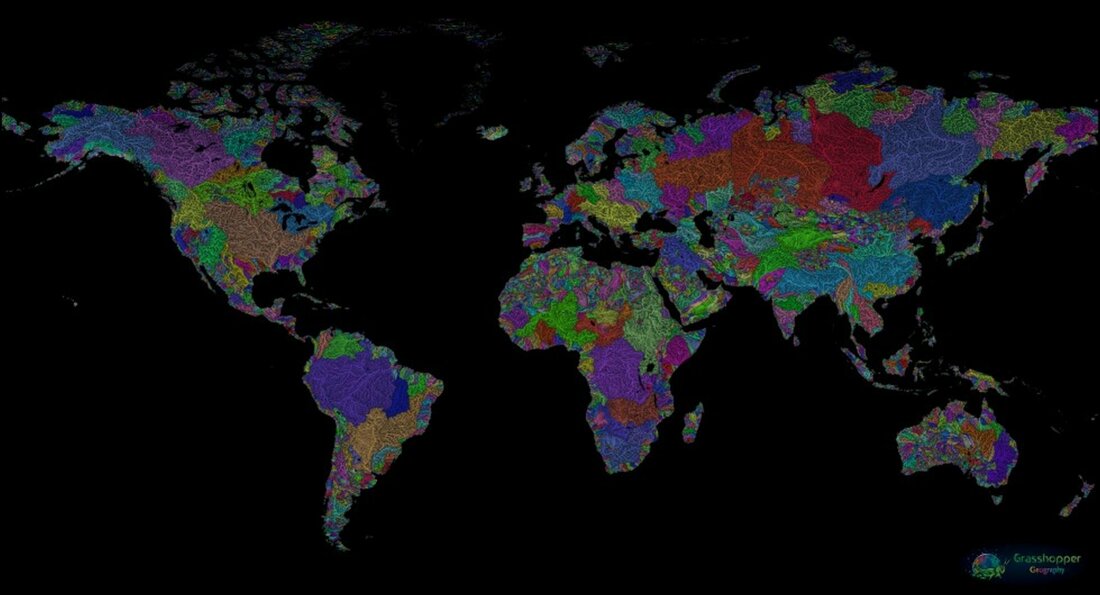
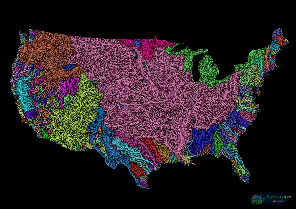
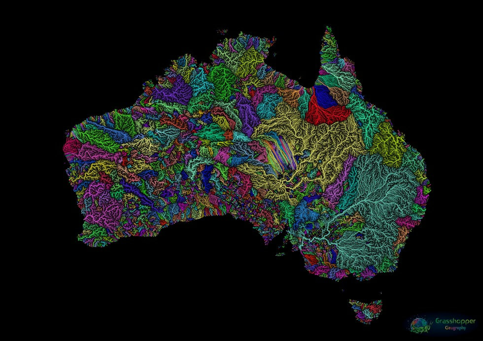
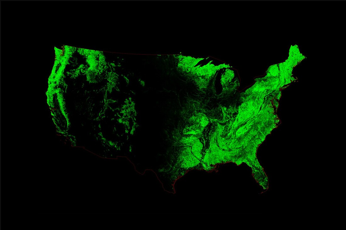
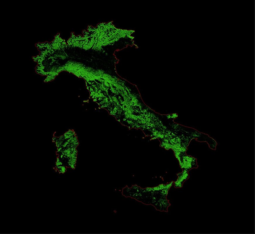
Amazing Artistic Maps of the World’s Rivers and Forests Like most of you we love nature and the breathtaking views that we routinely see outdoors. So much so that we like to bring those views indoors with paintings and photographs. Always on the lookout for great nature images, we recently ran across the work of Hungarian cartographer Robert Szucs who has made breathtaking maps showing the world’s rivers and forests by artistically colorizing the data from Geographic Information Systems. Robert's river maps are detailed watershed maps (grouped together by color) showing the flow of all the tributary streams into main rivers, and these rivers flowing out to the sea. Note how large the Mississippi River basin is in the map of the United States. Robert's forest maps are stunning two color (green and black) relief maps highlighting the density of the forests in the specific geographic region. If you want some stunning art, you should really checkout Robert Szucs' Grasshopper Geography website where you can purchase his works as paper prints, wall art, desk art or other nicknacks to “decorate your home or office with some unique new maps”: https://www.grasshoppergeography.com/
0 Comments
Leave a Reply. |
What's On This Page?Here's where we post reviews, questions, answers, thoughts and other information that's of general interest to our followers in a blog format. Categories
All
Archives
August 2023
|
|
|
Copyright 2016-2024 Hiking, Camping and Shooting |

 RSS Feed