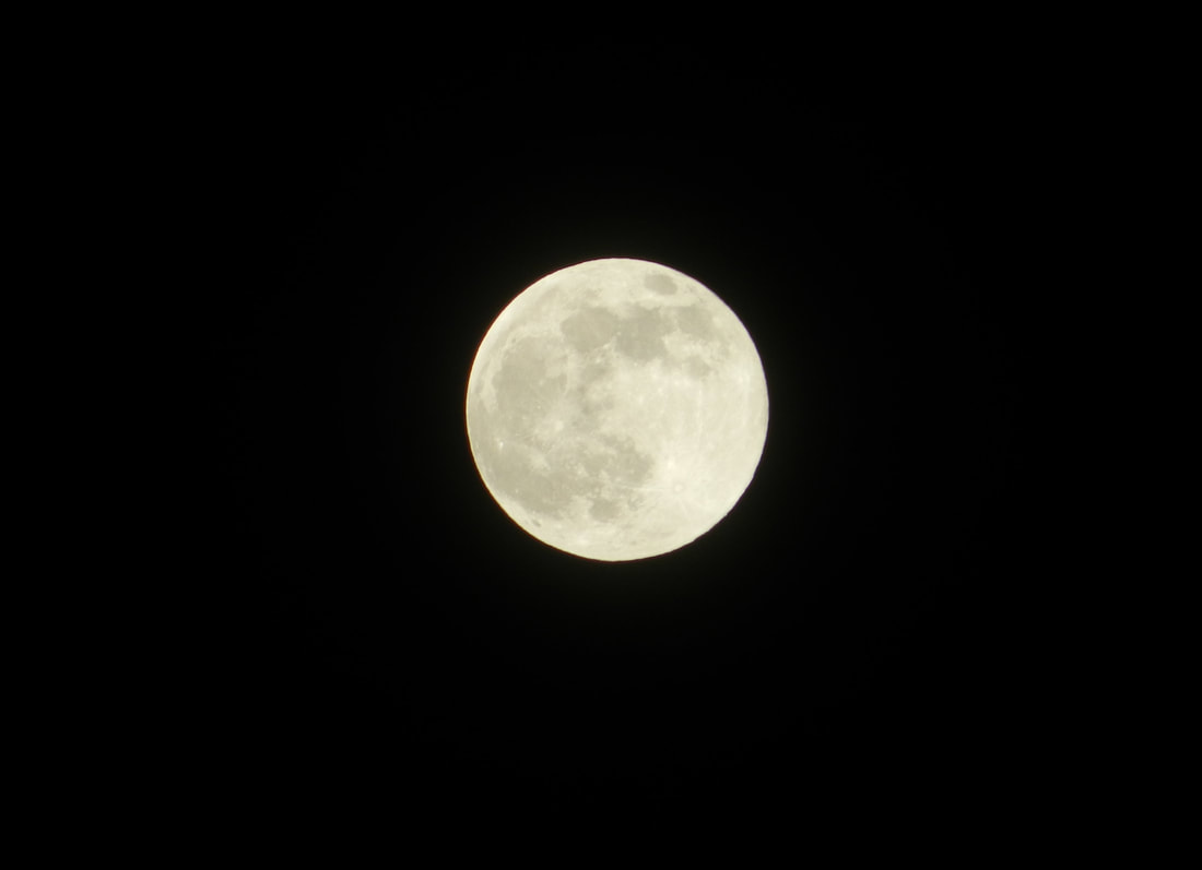
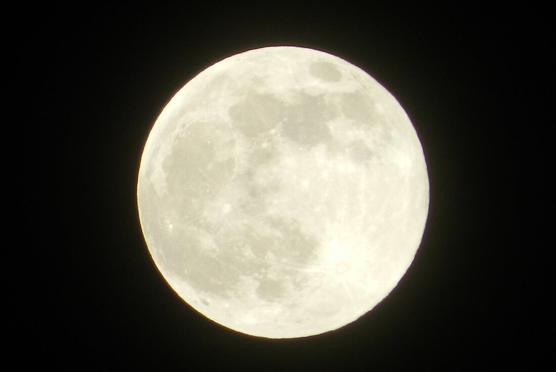
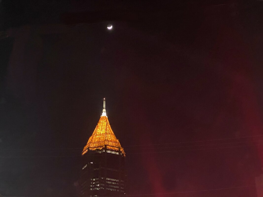
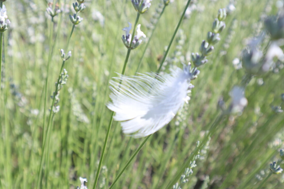
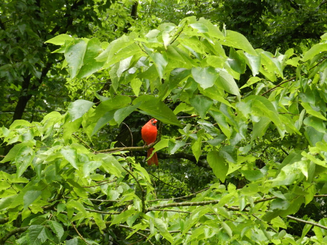
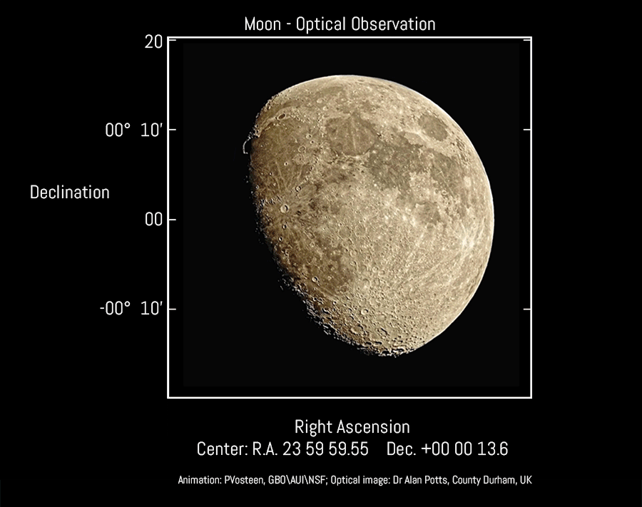
Moonlight - How Bright You Shine Tonight This Monday, 26 April, was another Pink Super Moon. The Pink Moon occurred 12 hours before the Moon reached perigee (the moon’s closest position to Earth due to the fact that the moon's orbit around the Earth is slightly elliptical) so that made this Pink Moon also a Super Moon – the term used when the moon is full while closest to the Earth. Here are some photos showing what we saw of the Pink Super Moon here in New England: (click on any photo to start the slideshow): The moon actually reached perigee at 11:22 AM EDT on 27 April; when it was just 222,064 miles (357,377 kilometers) away from the Earth. During a super moon, the full moon can appear up to 14% larger and 30% brighter than when it is at its farthest from Earth. Monday’s Pink Super Moon was ~8% closer than the distance of an average full moon (240,000 miles or 384,400 km) and was the first, and one of only two, super moons of 2021. So why the term “Pink Moon”? In the 1930s the Maine Farmer's Almanac began publishing American Indian Moon names for the months of the year. Accordingly, the April full moon was called a Pink Moon, named after creeping phlox; a plant native to the eastern United States that is one of the earliest flowers of spring. Other names for this moon include the Sprouting Grass Moon, the Egg Moon and the Fish Moon. Last year, on 7 April, we also had a Pink Super Moon. Here’s our blog and photos from that night: "April’s Pink Super Moon - How Beautiful Are These Night Sky Photos?" If you want to learn more about Pink Moons, or other phases of the moon, you might want to check out the Full Moon Phases website. Here’s the link to their Pink Moon information: http://fullmoonphases.com/pink-moon/ 
0 Comments
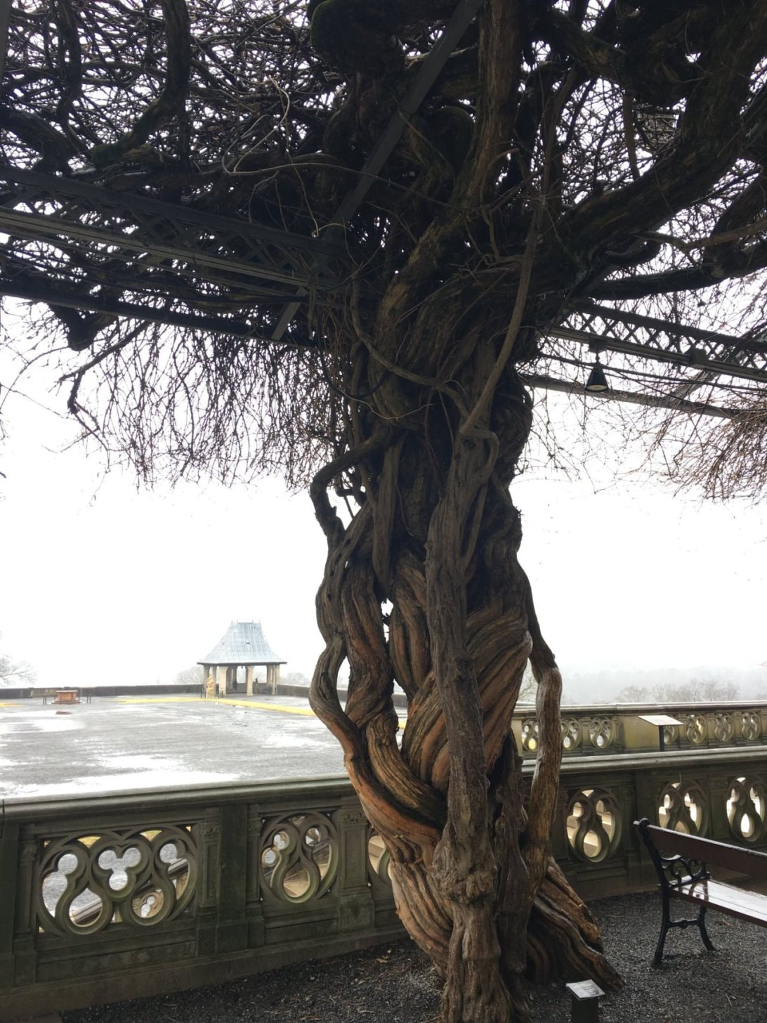
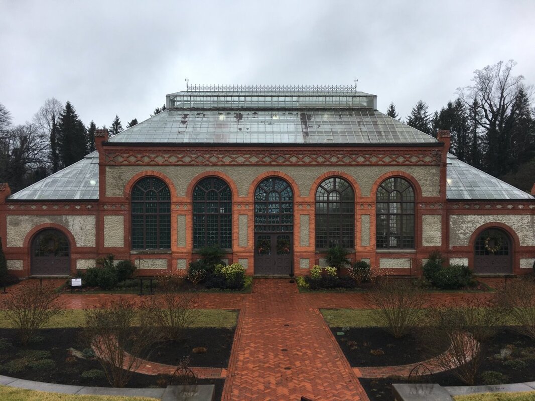
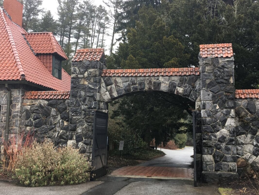
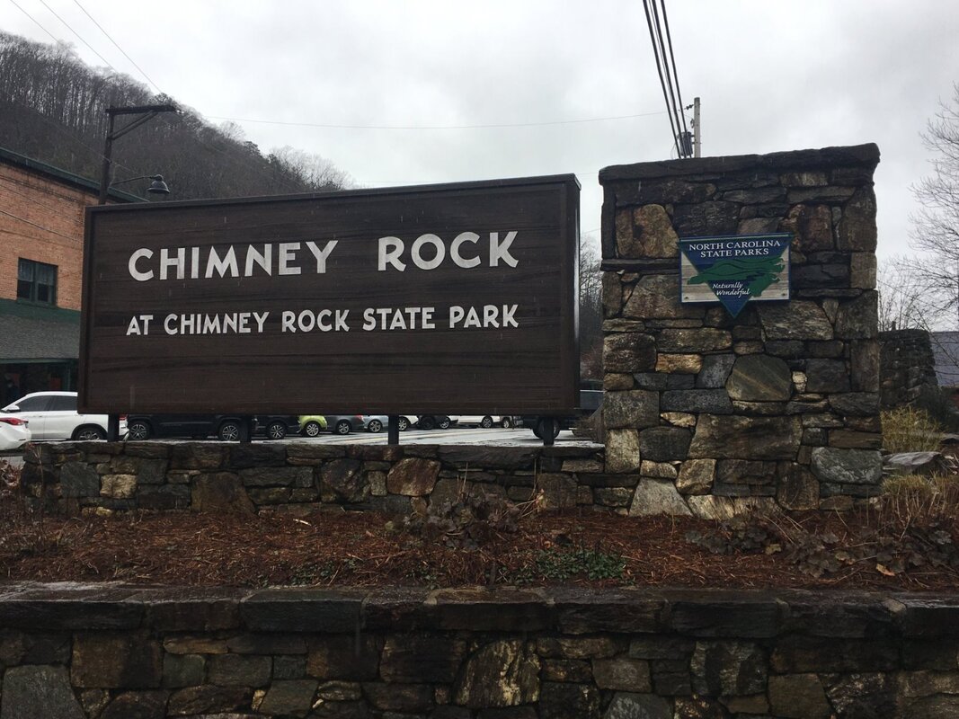
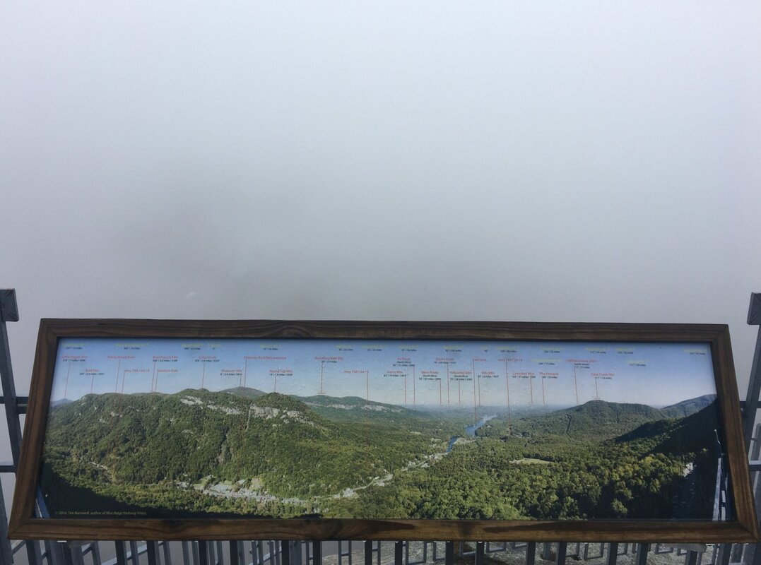
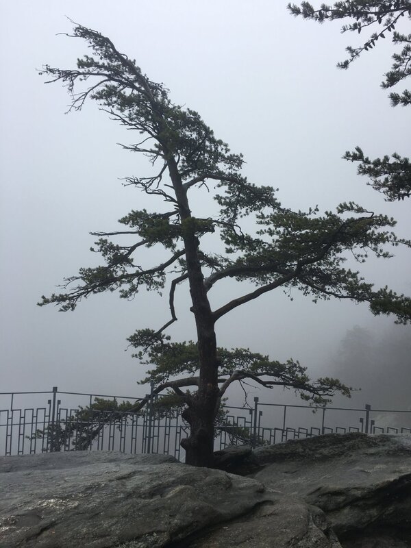
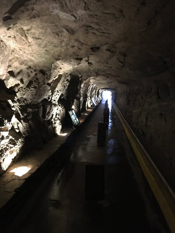
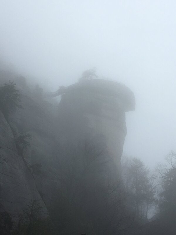
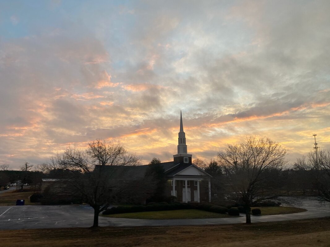
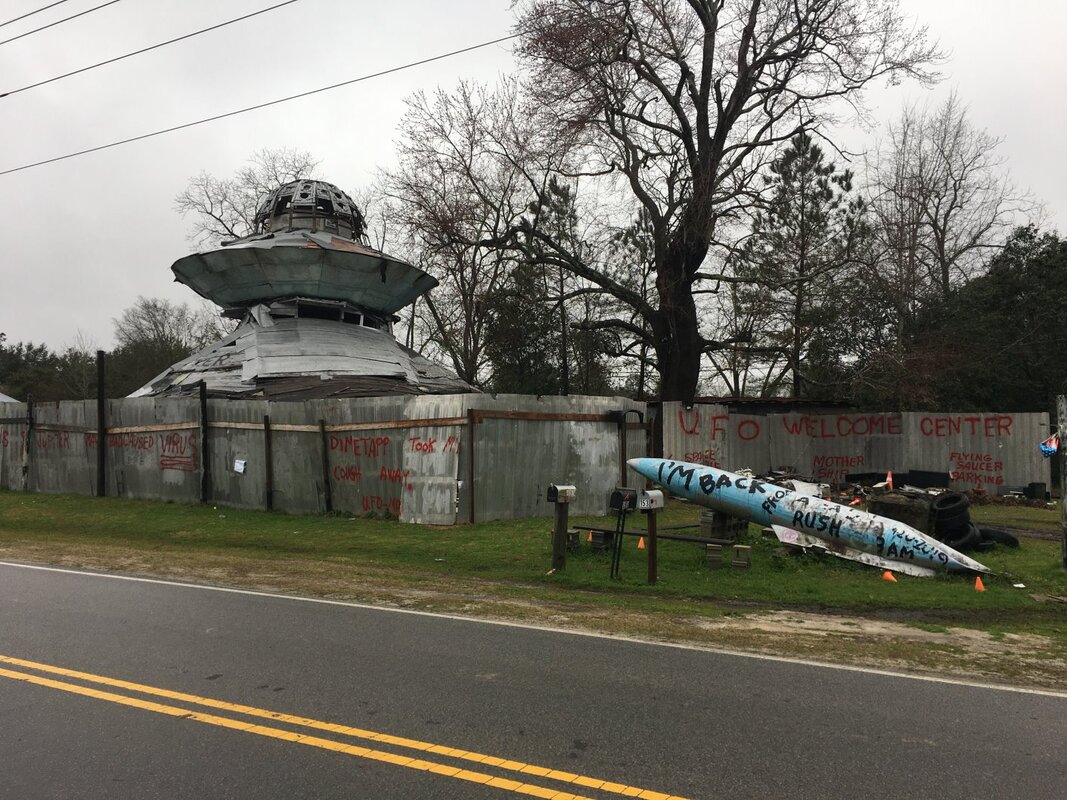
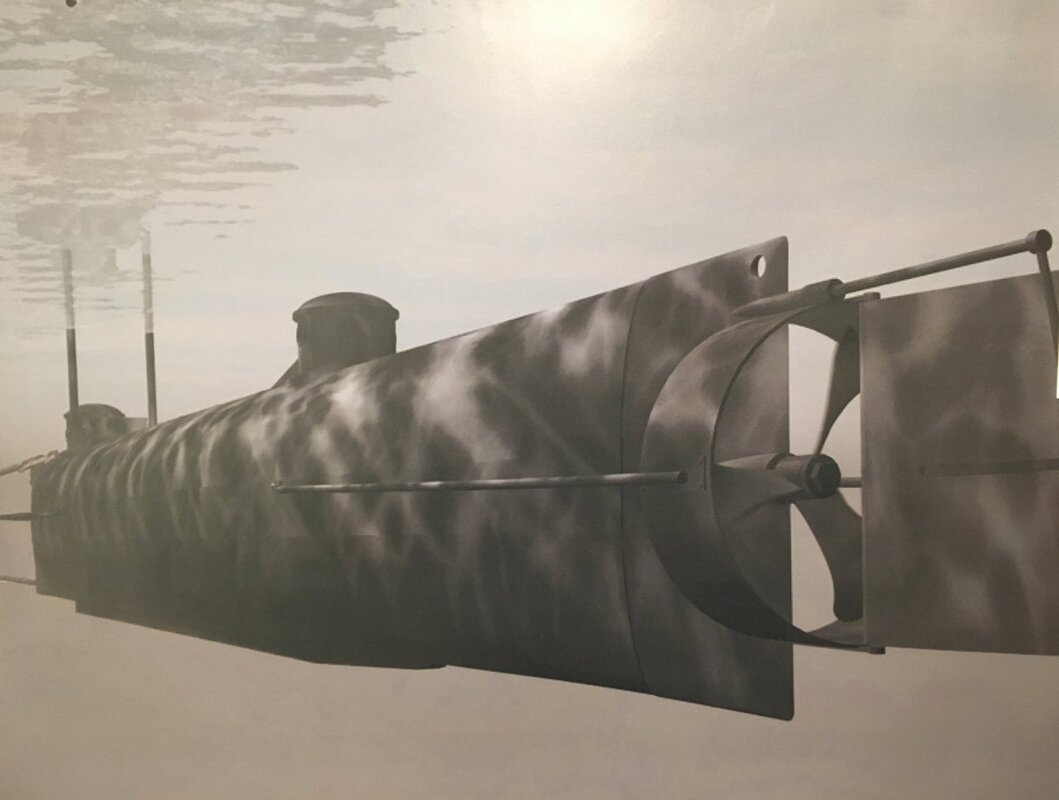
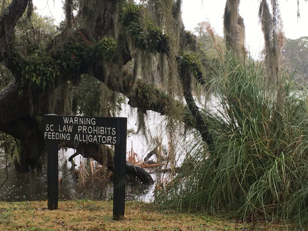
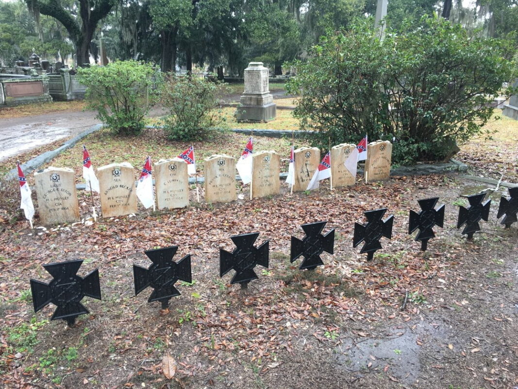
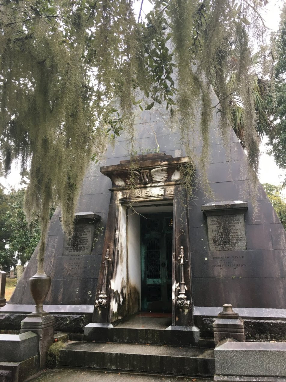
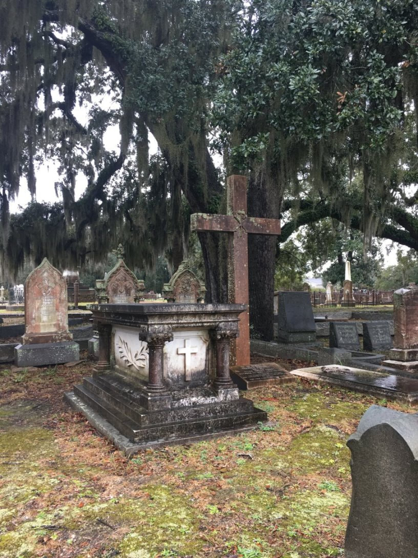
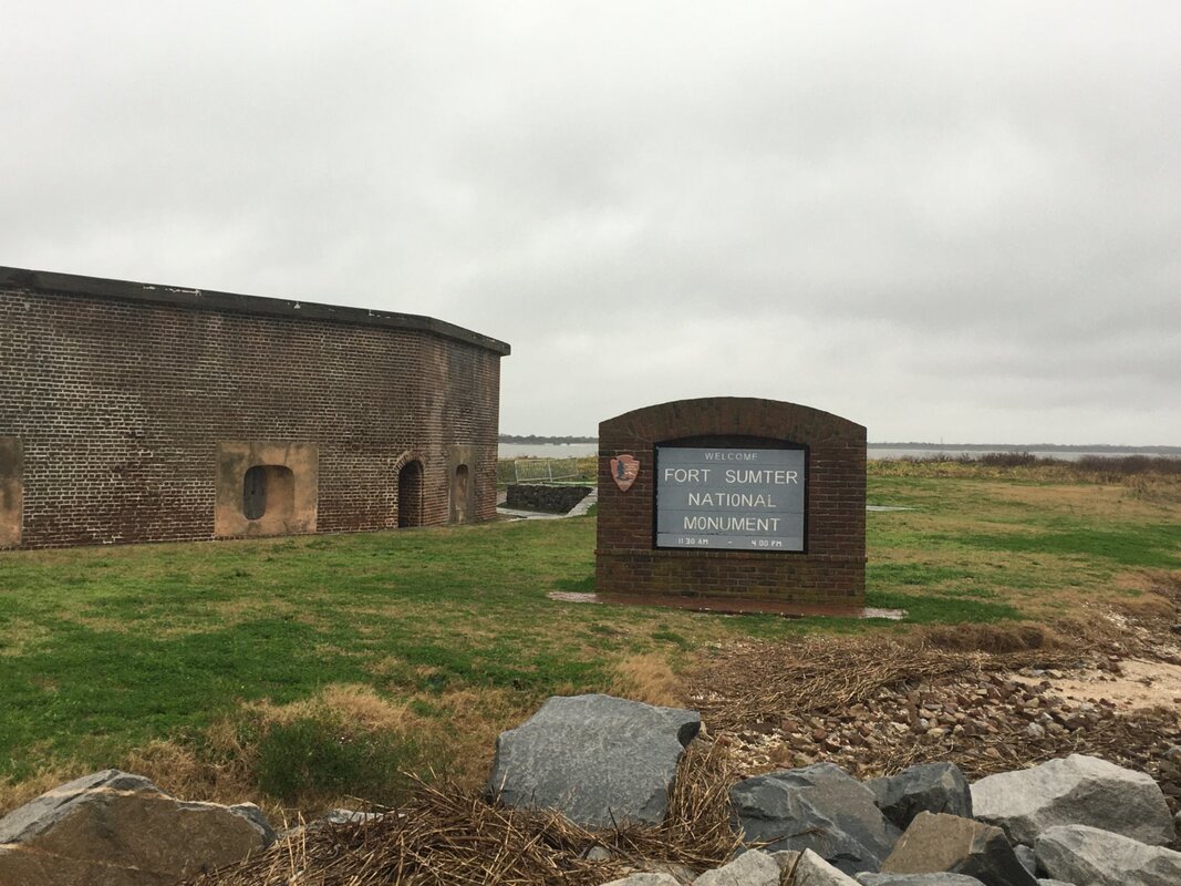
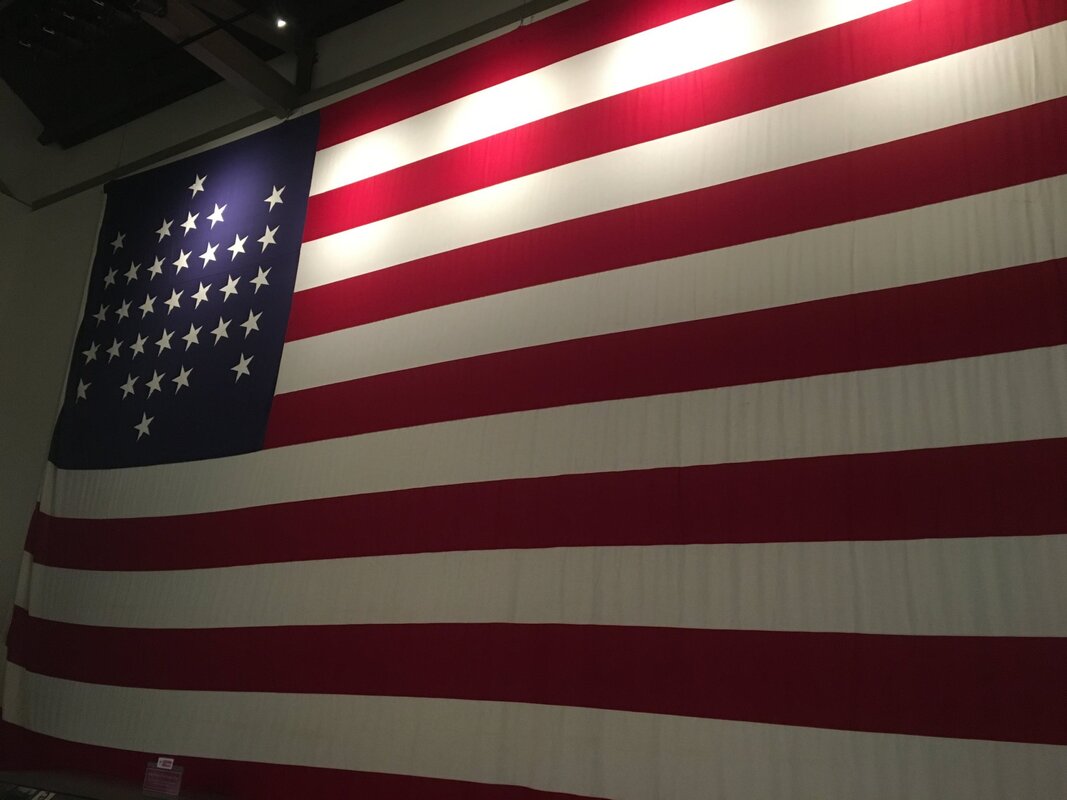
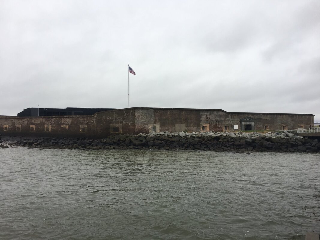
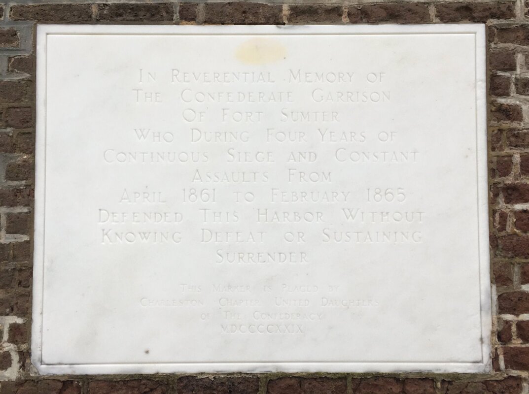
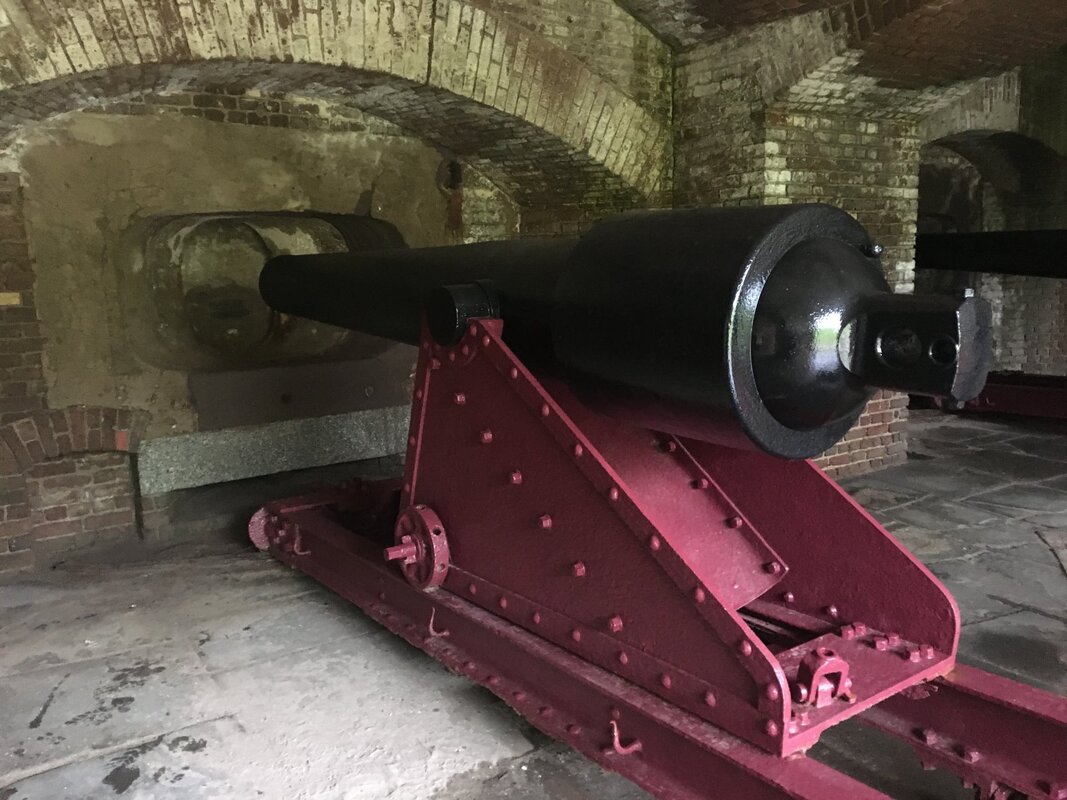
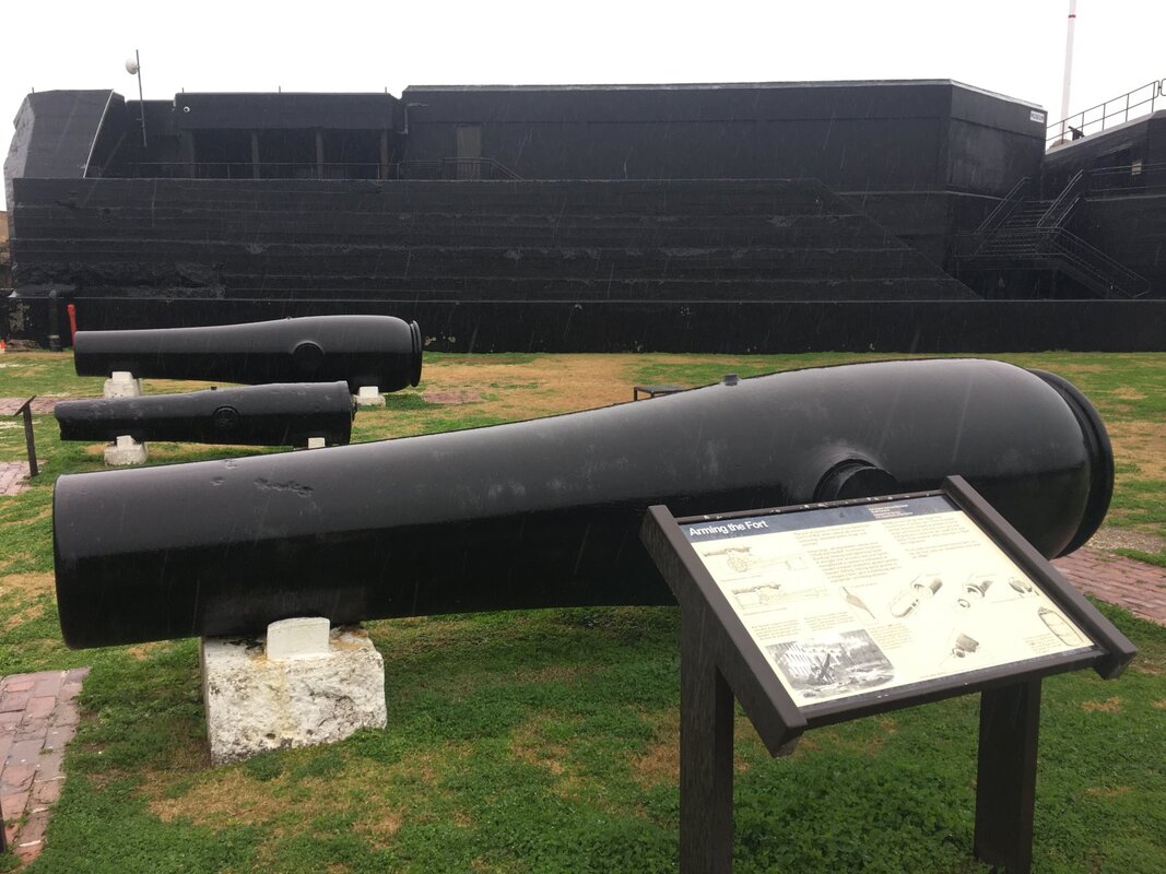
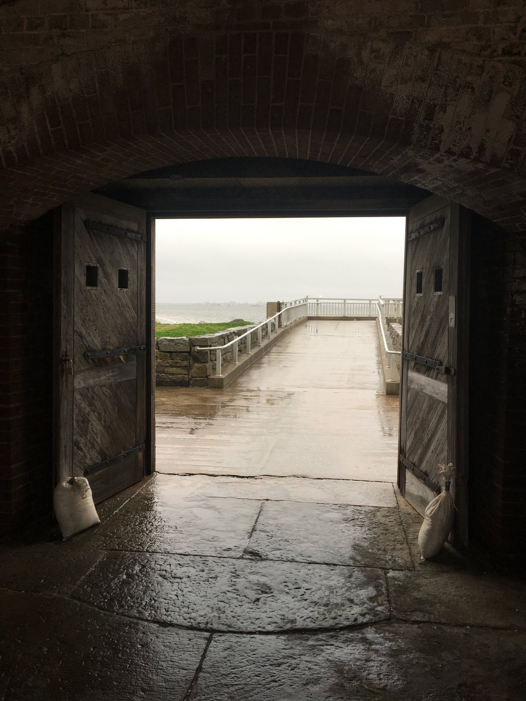
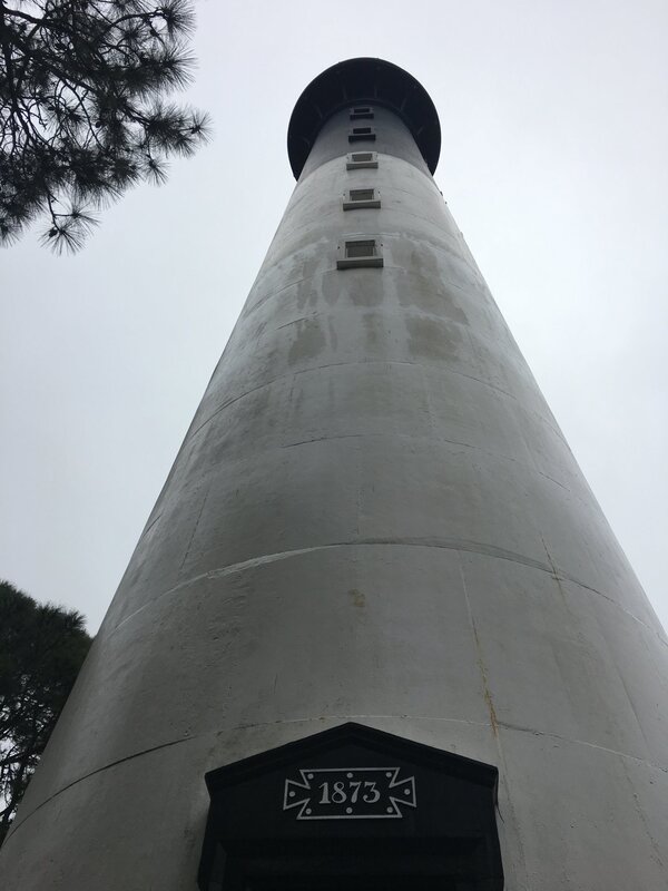
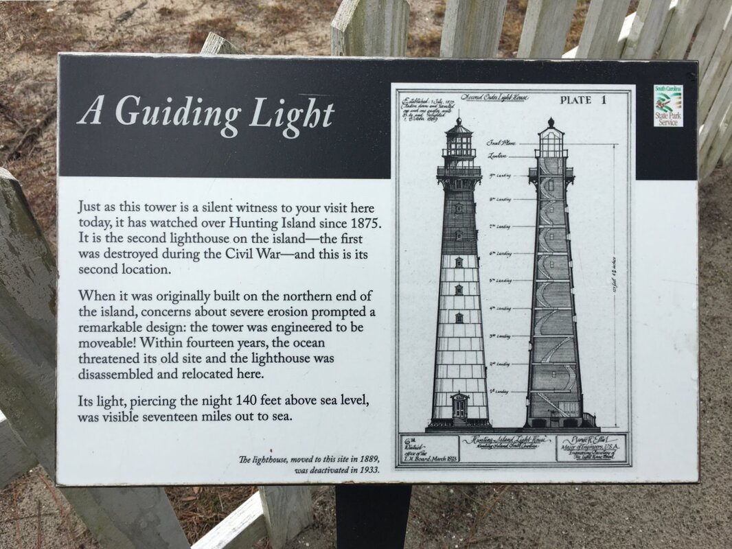
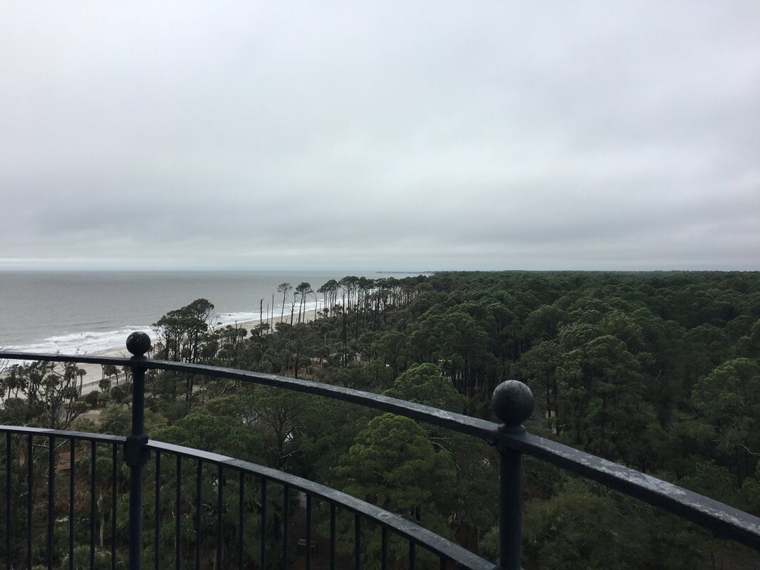
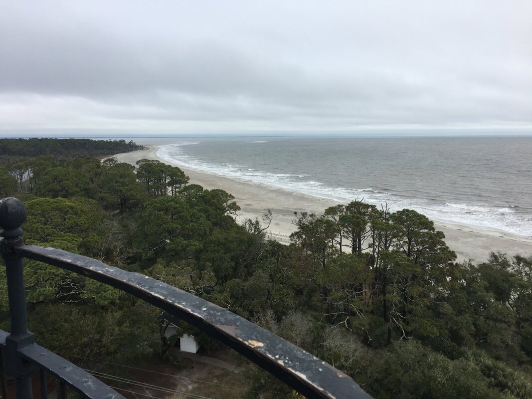
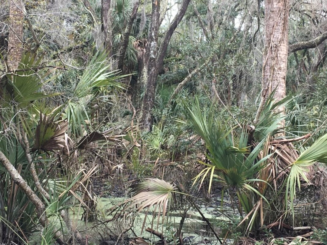
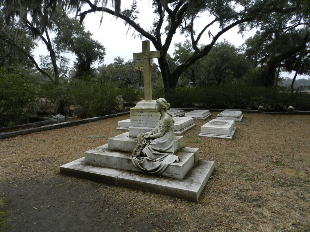
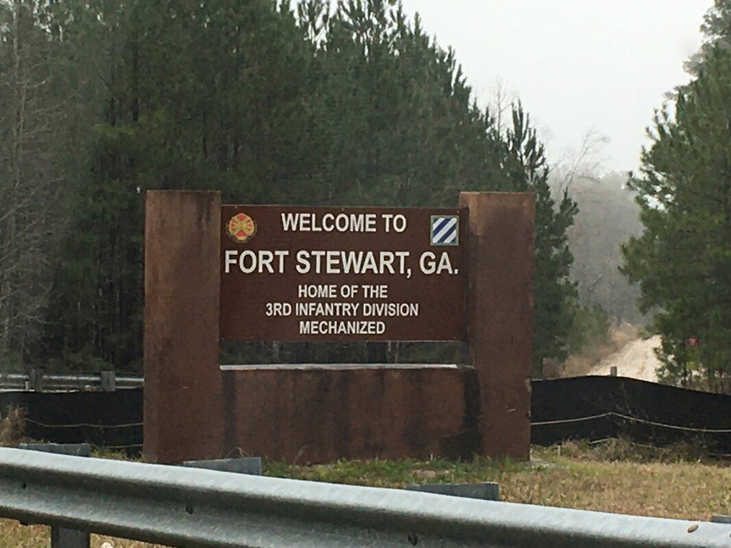
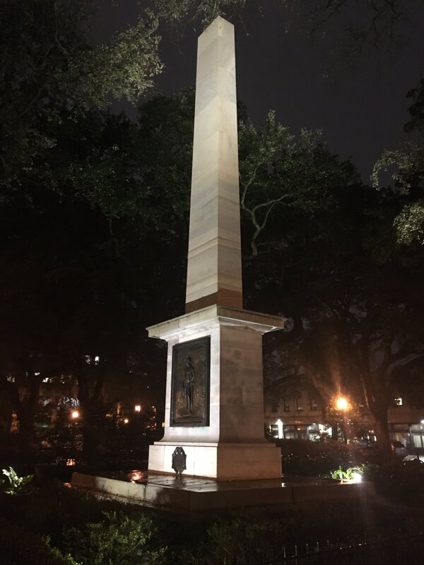
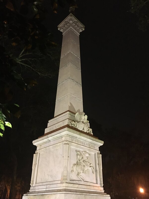
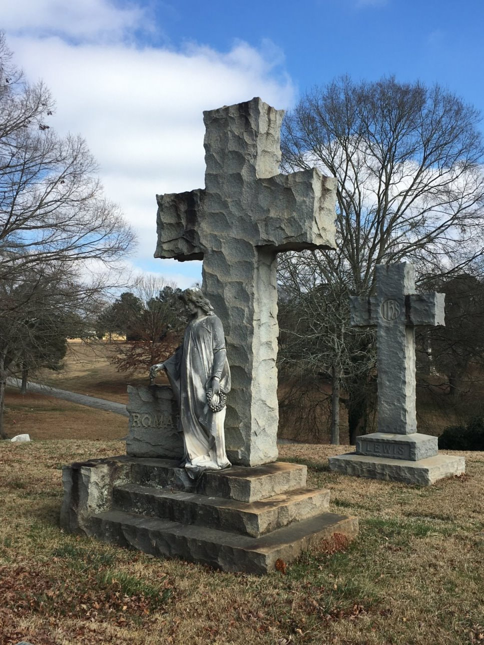
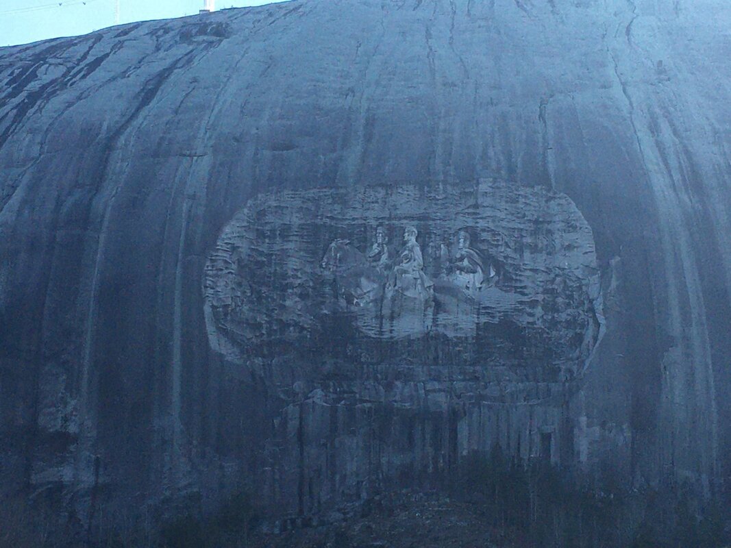
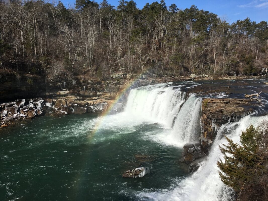
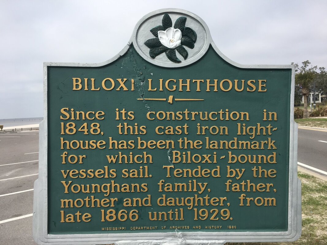
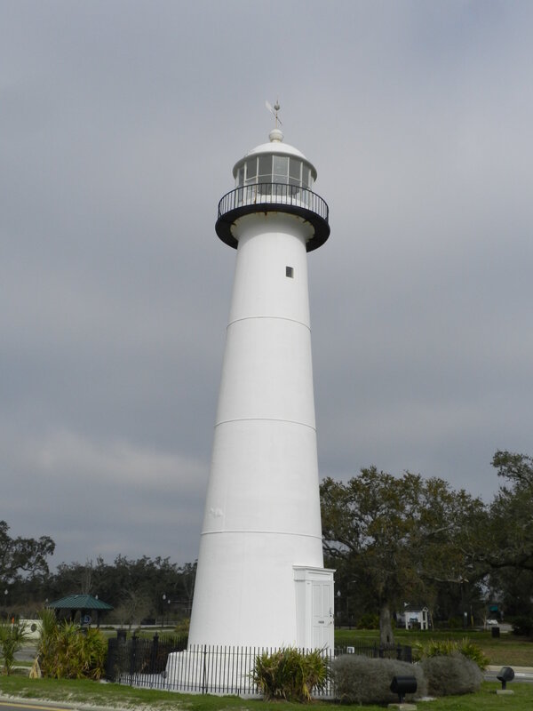
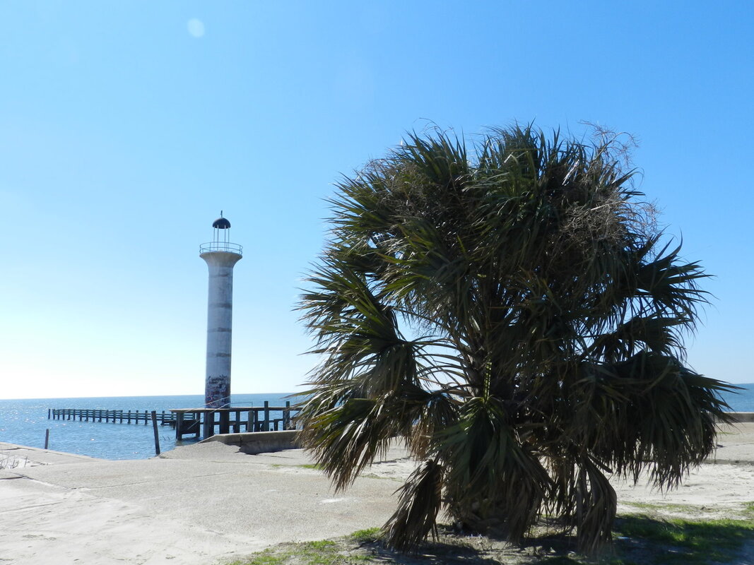
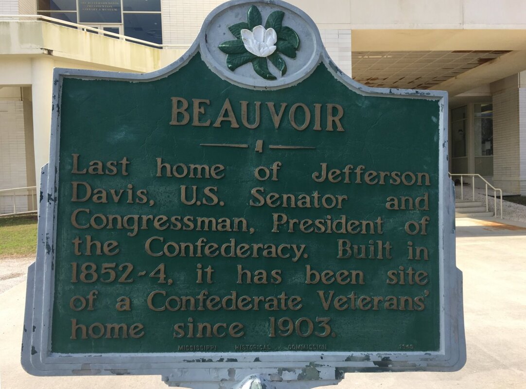
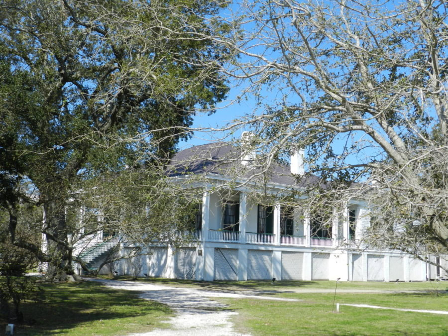
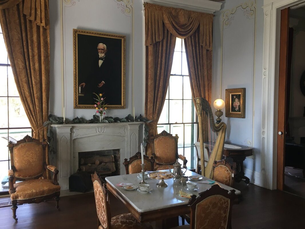
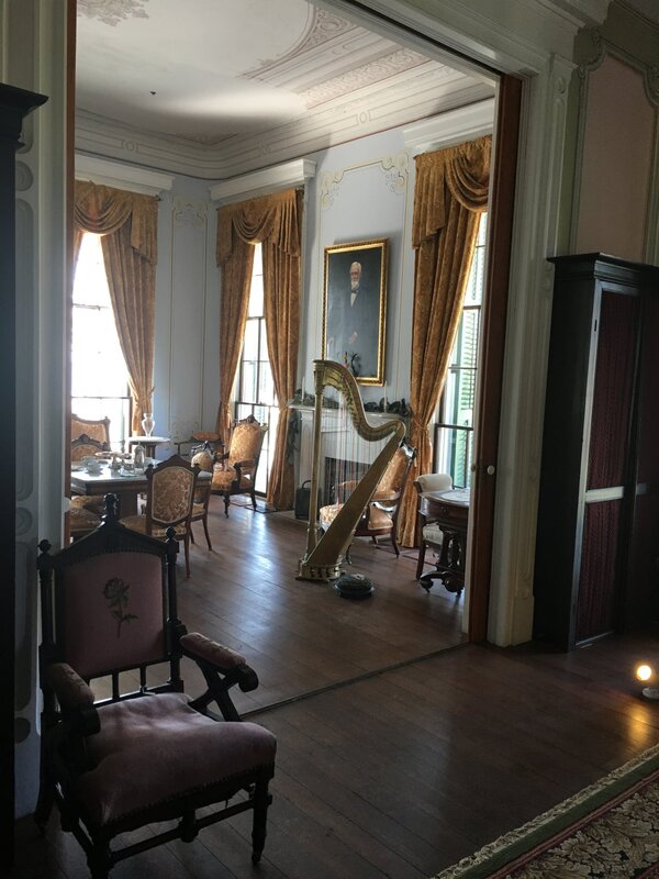
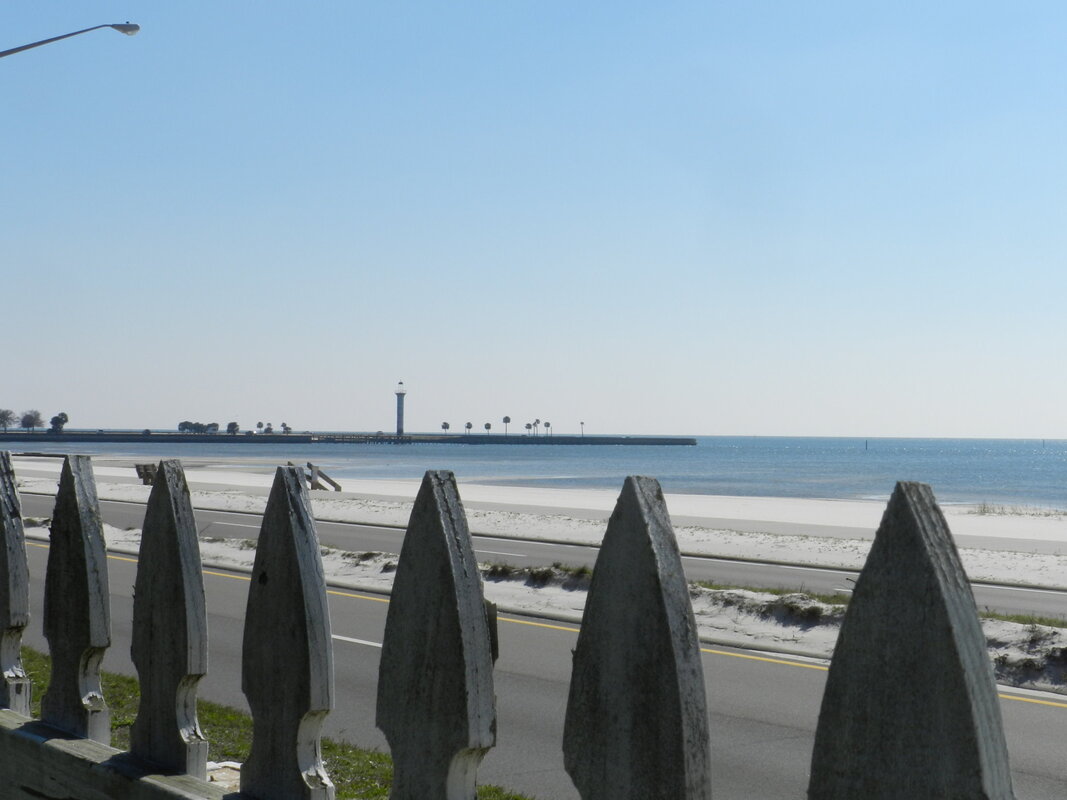
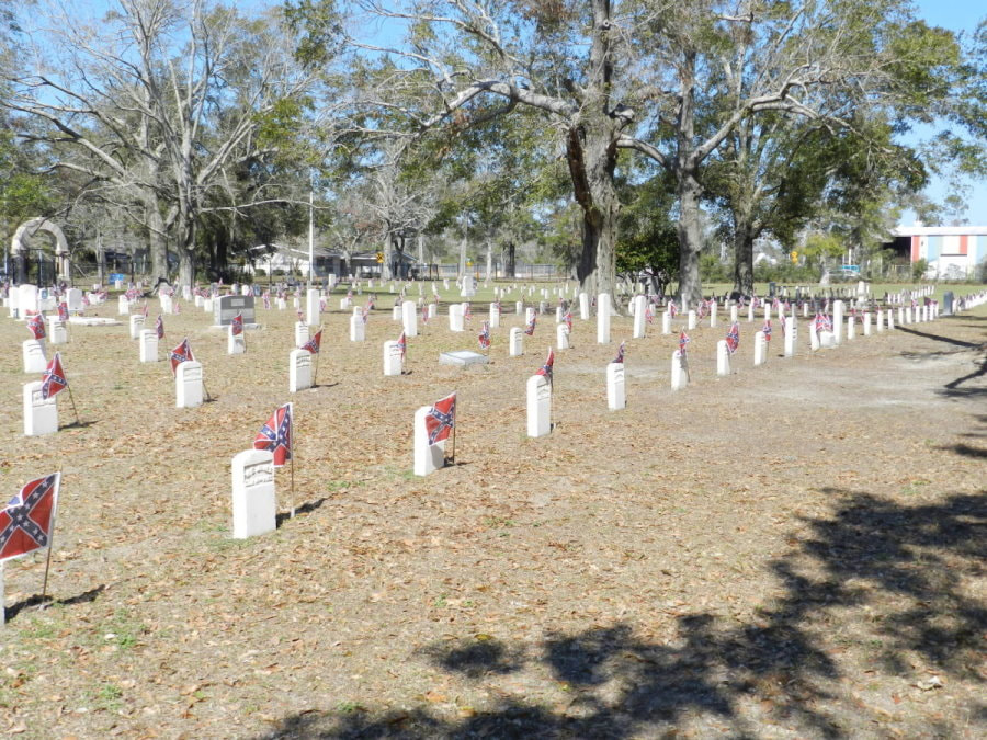
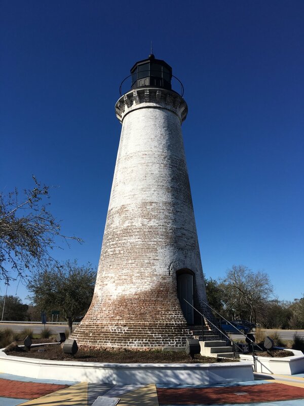
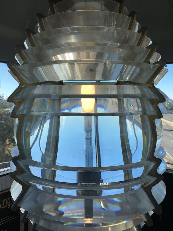
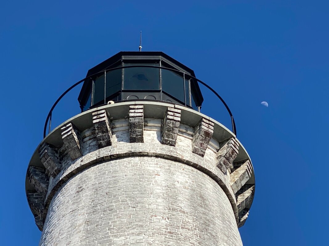
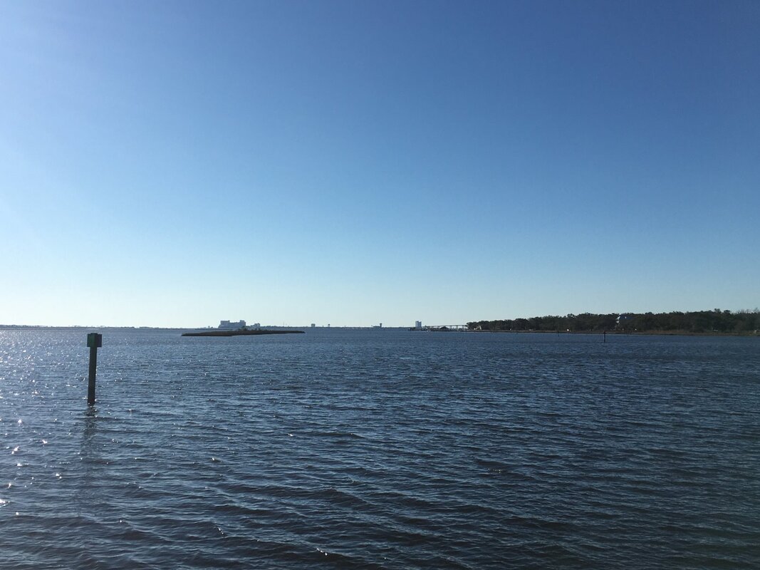
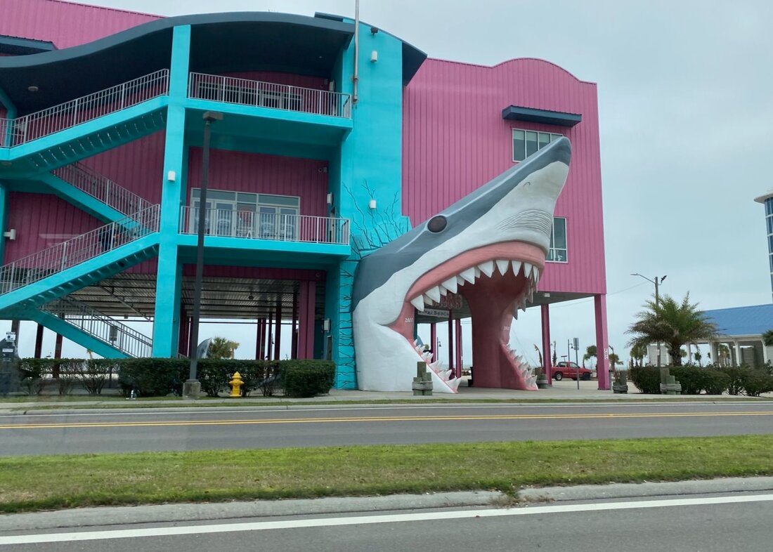
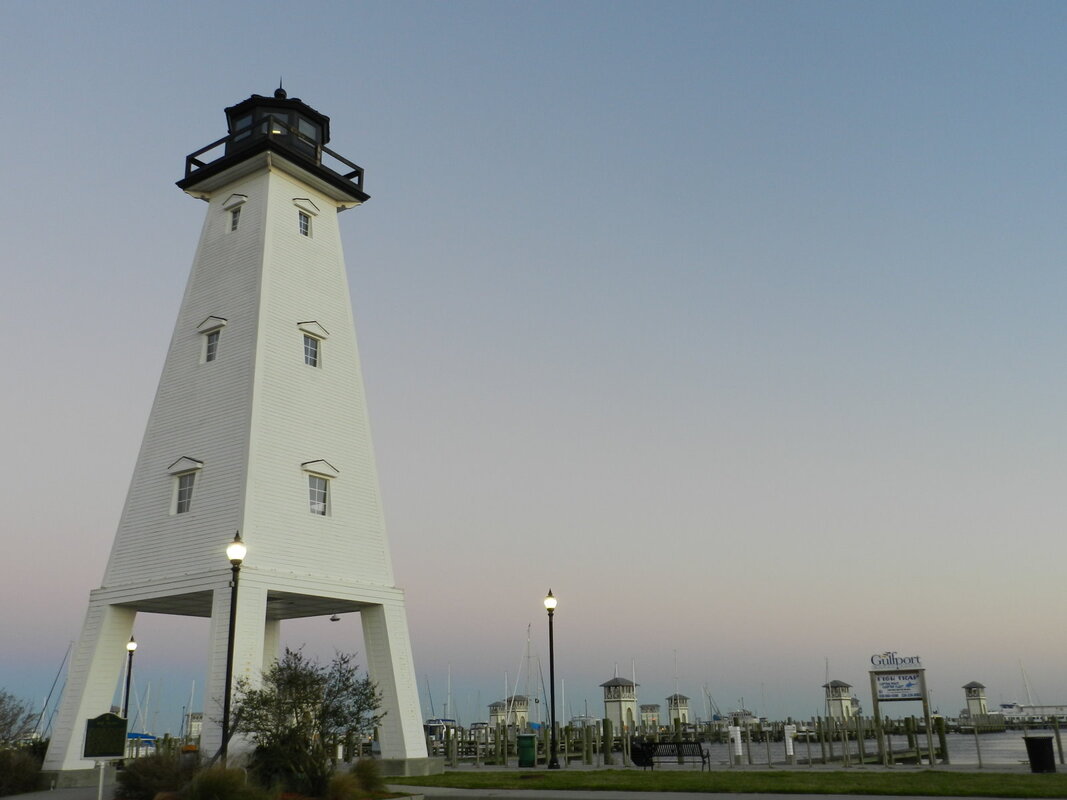
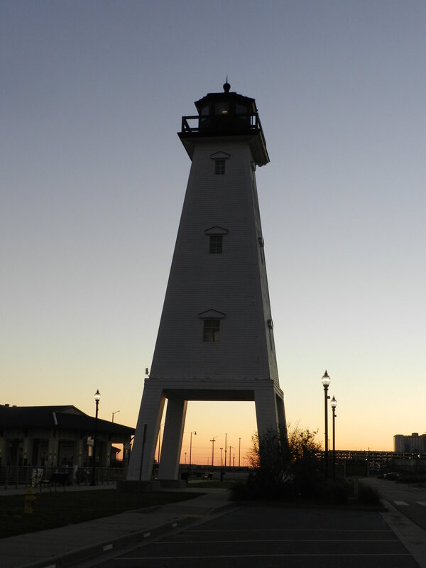
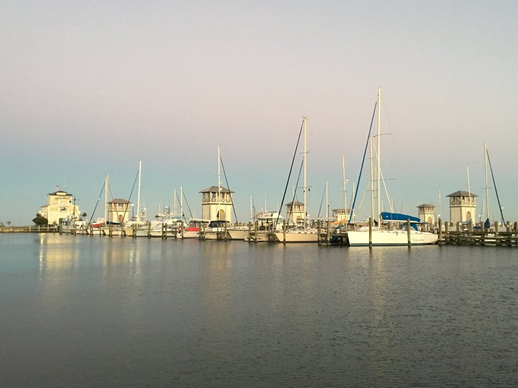
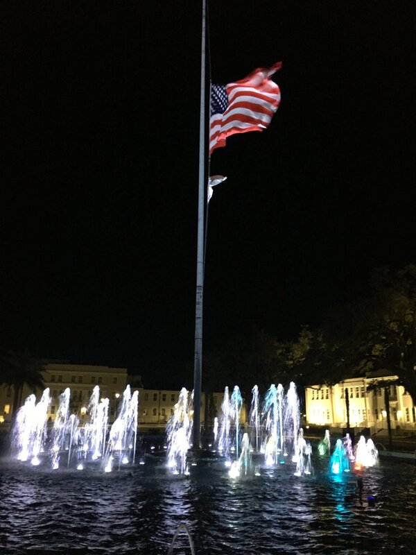
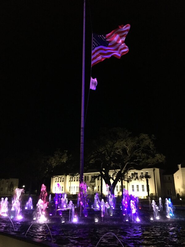
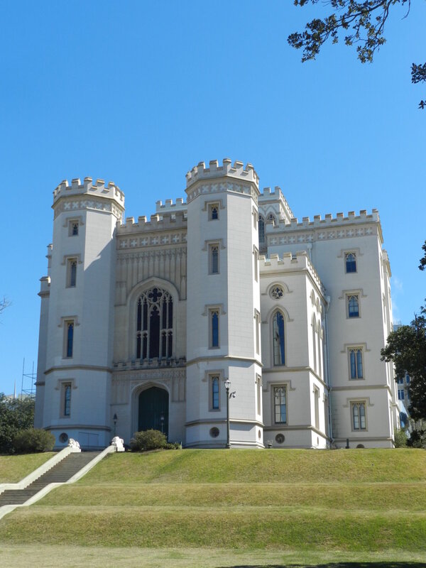
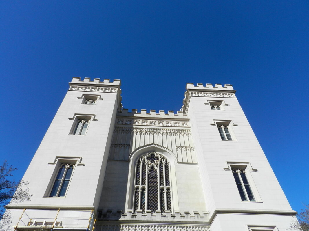
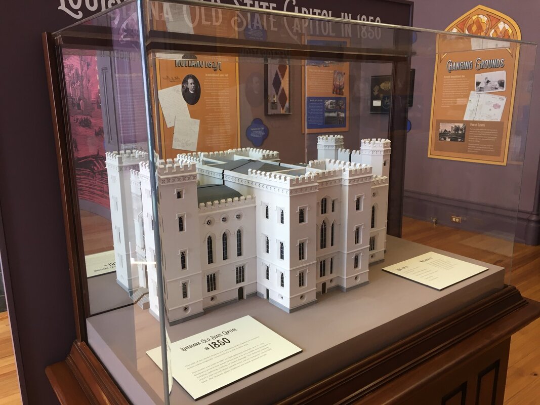
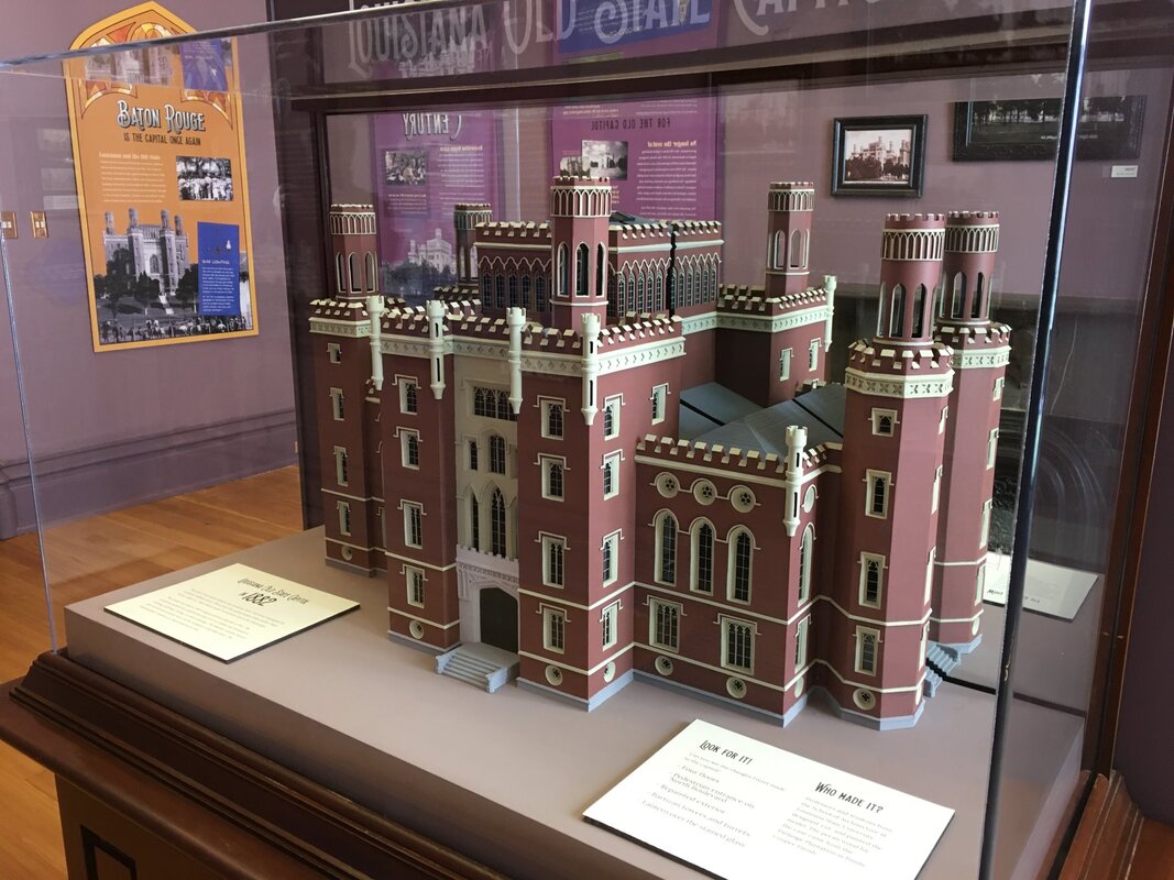
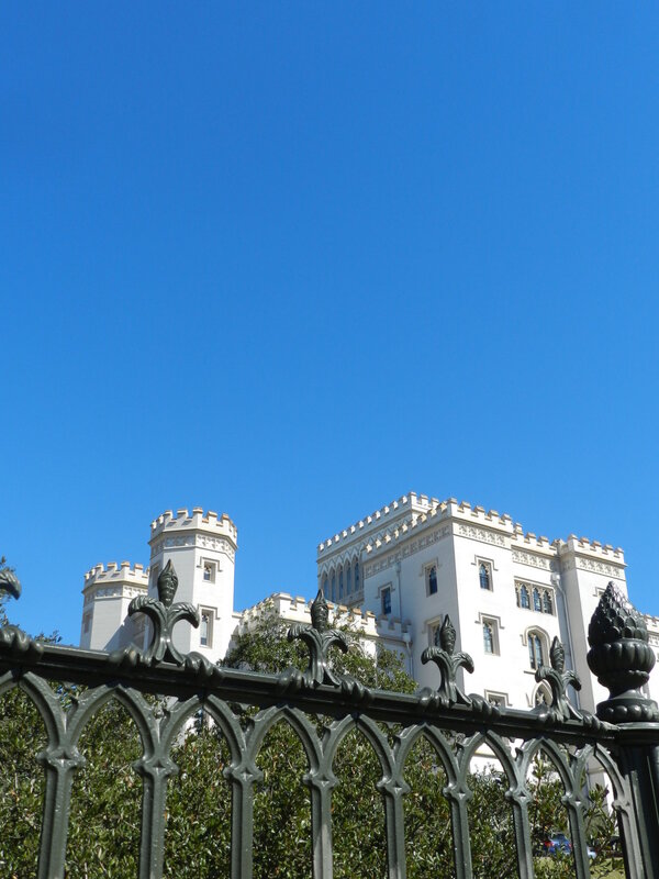
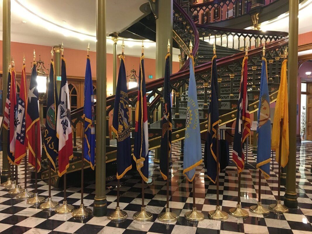
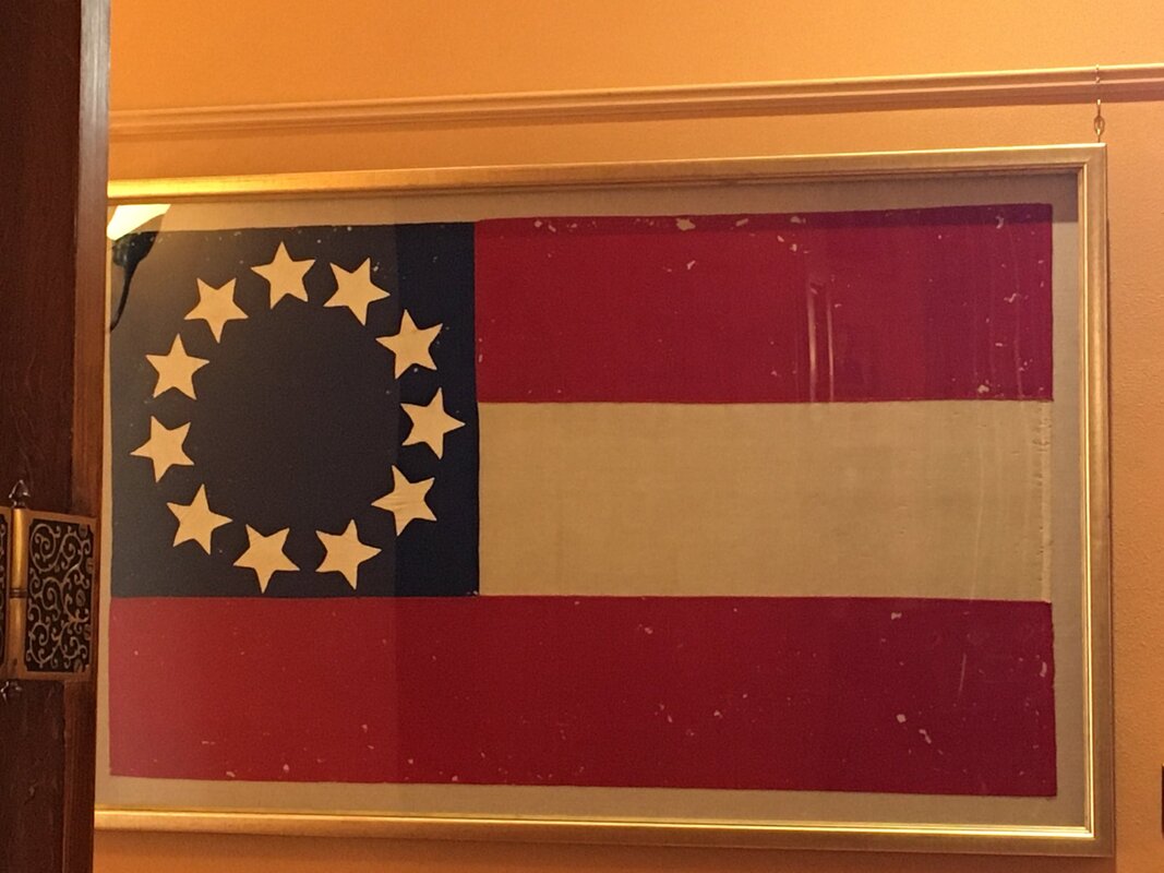
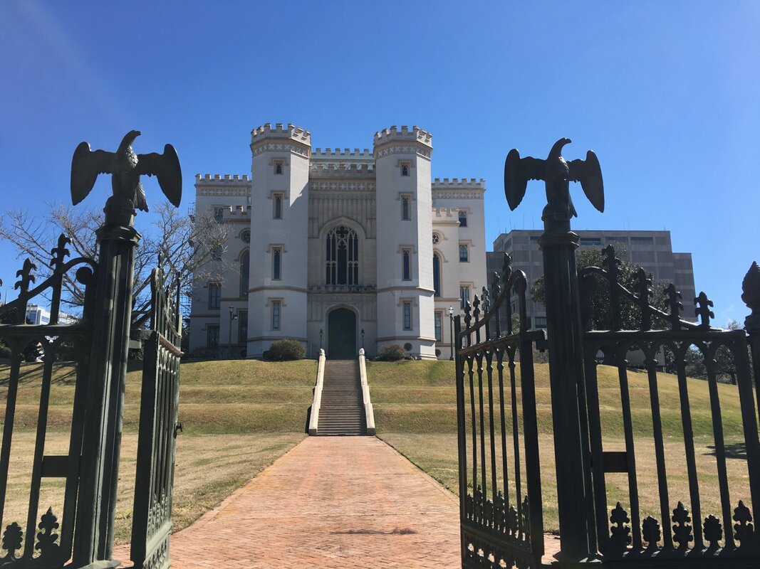
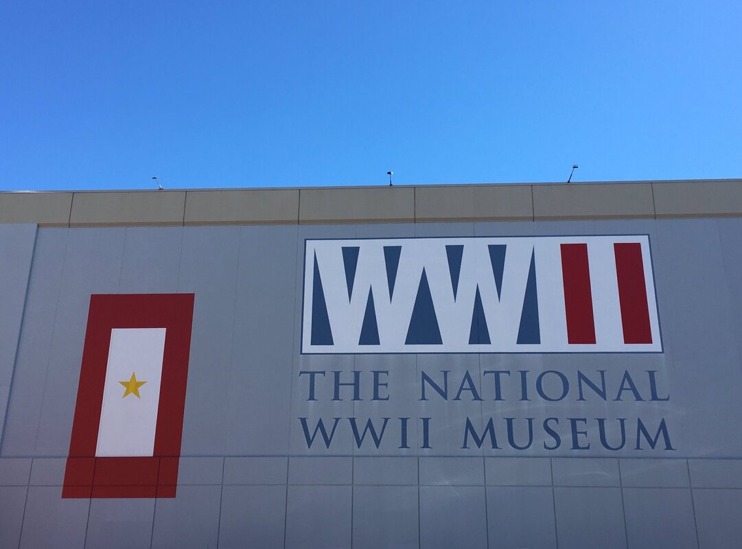
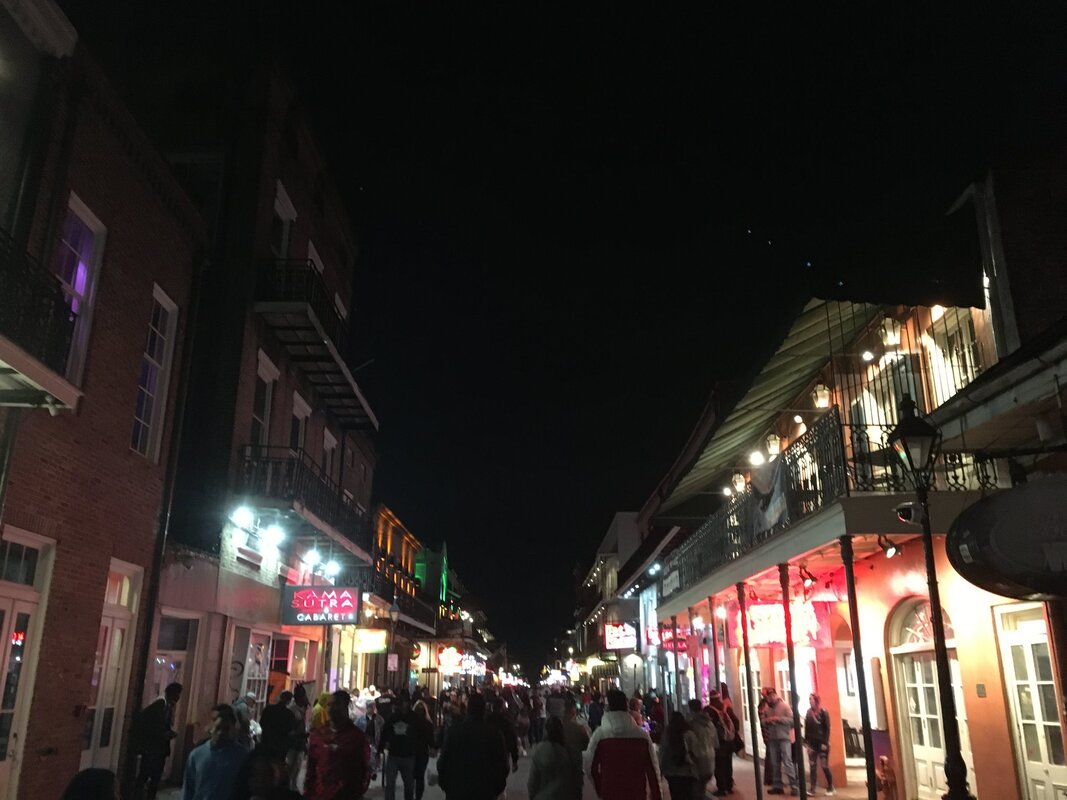
Escaping the New England Winter to See the Sights of the SouthAs mentioned in our 24 February blog post, on our 10-day road trip to the Southern part of the US we visited North Carolina, South Carolina, Georgia, Alabama, Mississippi and Louisiana. Here are a few photos from the 2,300 mile trip aggregated by State (click on any photo to start the slideshow):
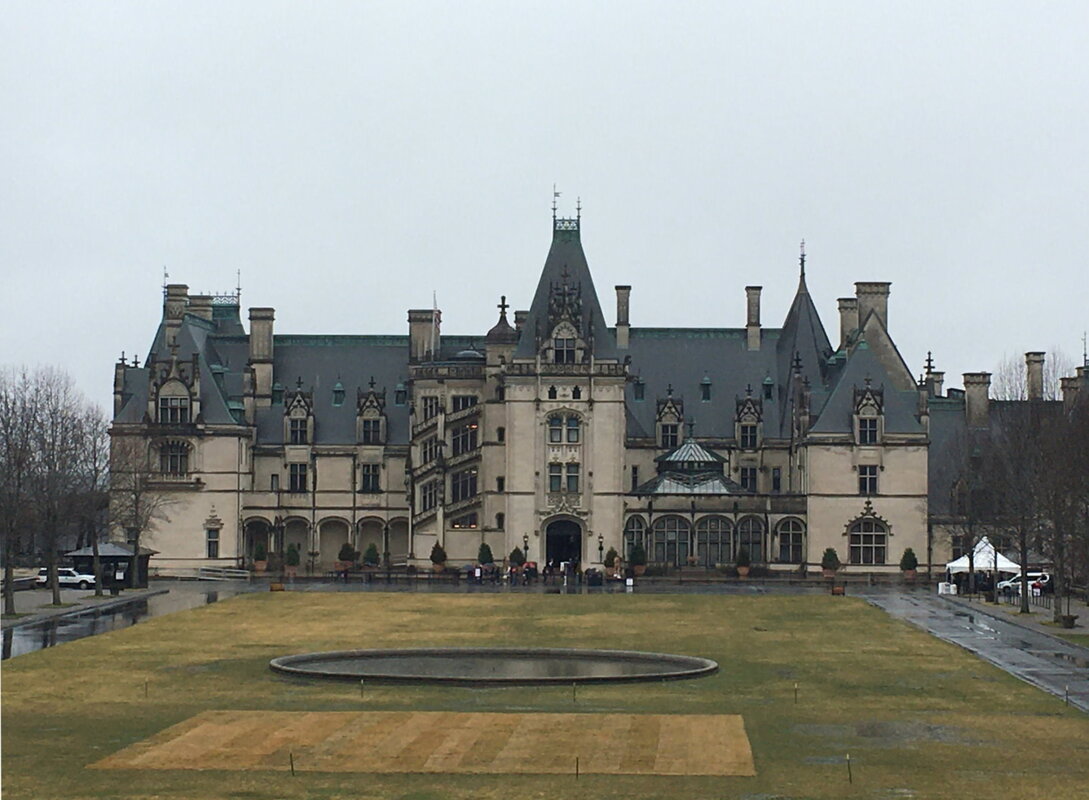
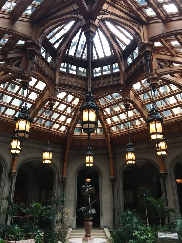
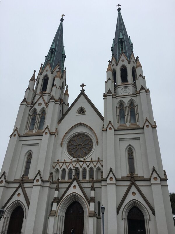
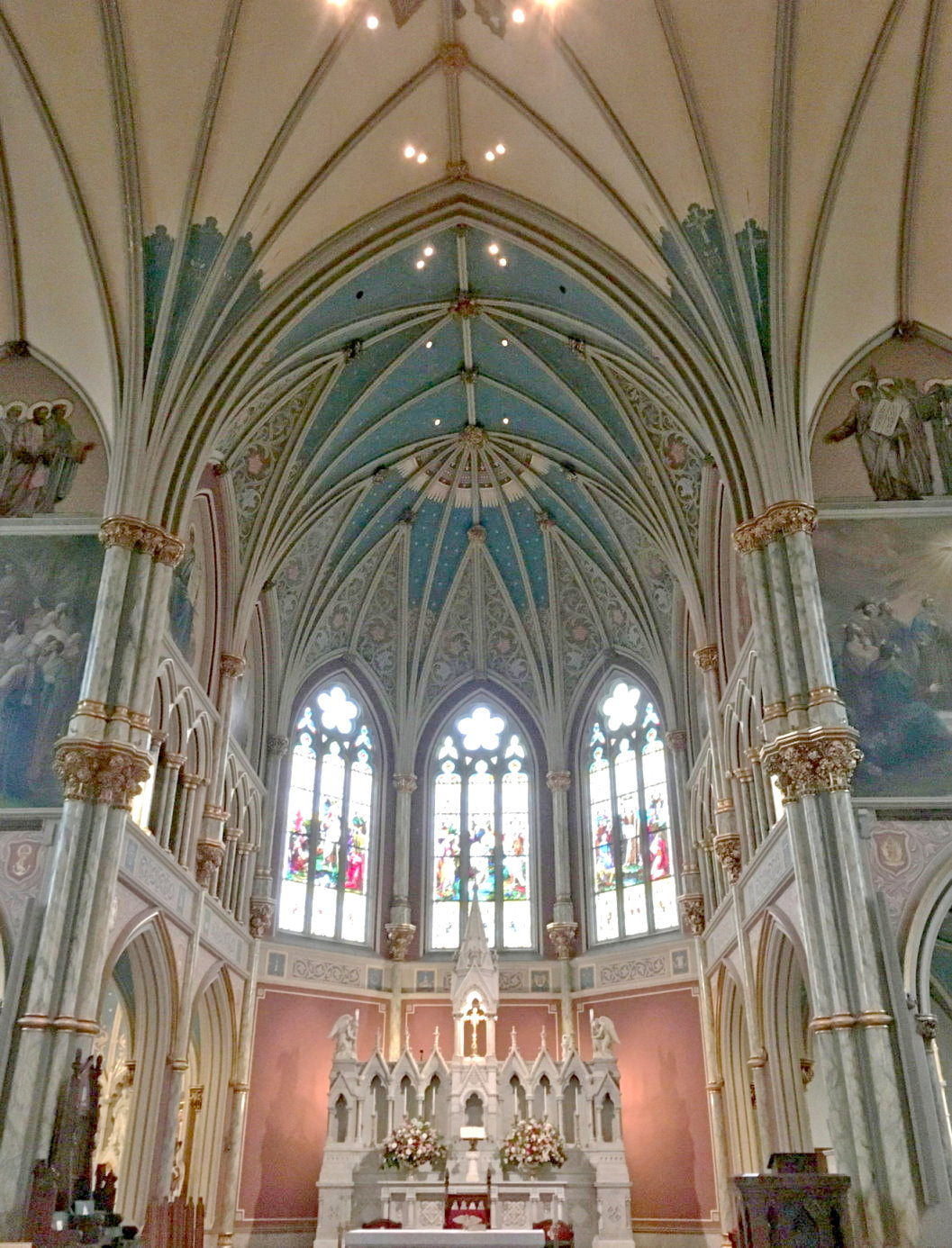
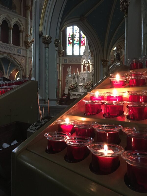
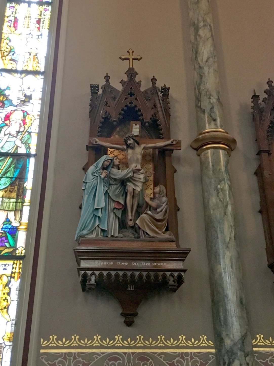
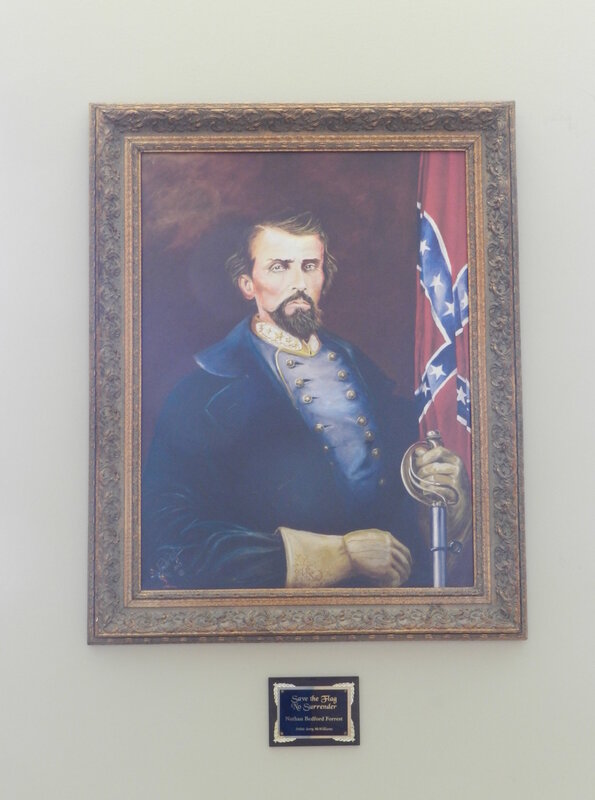
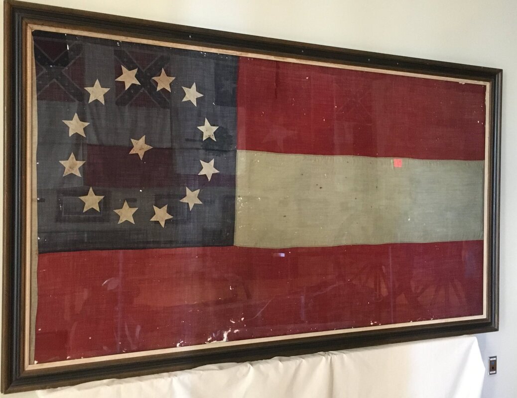
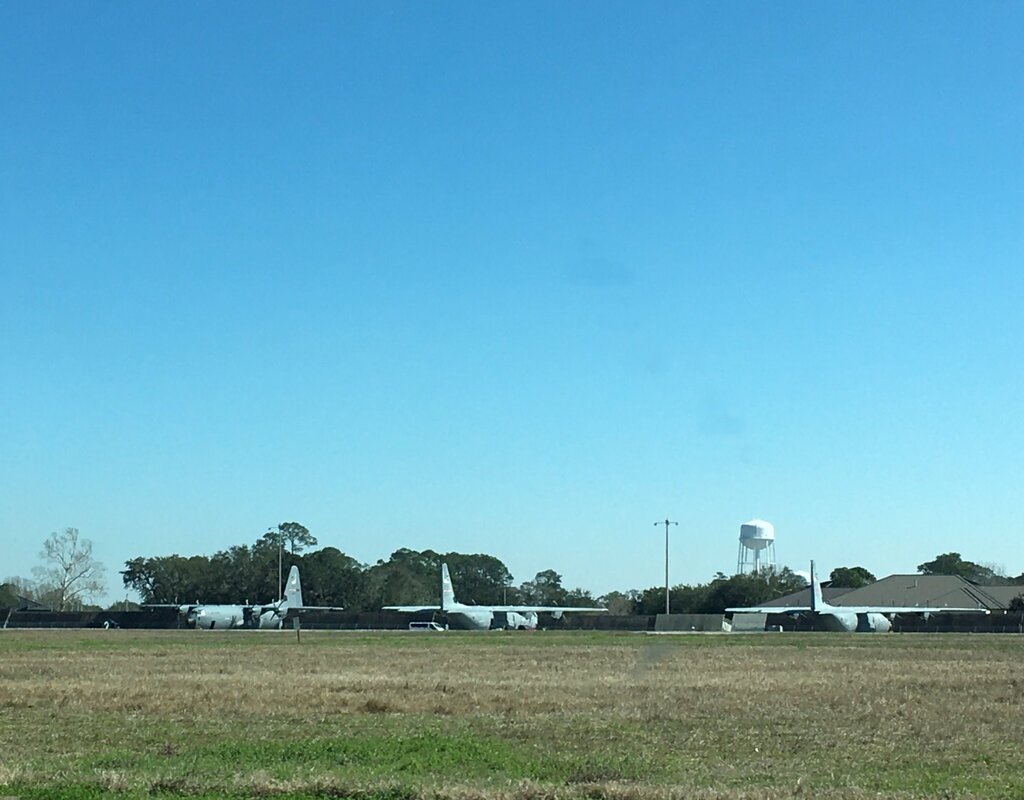
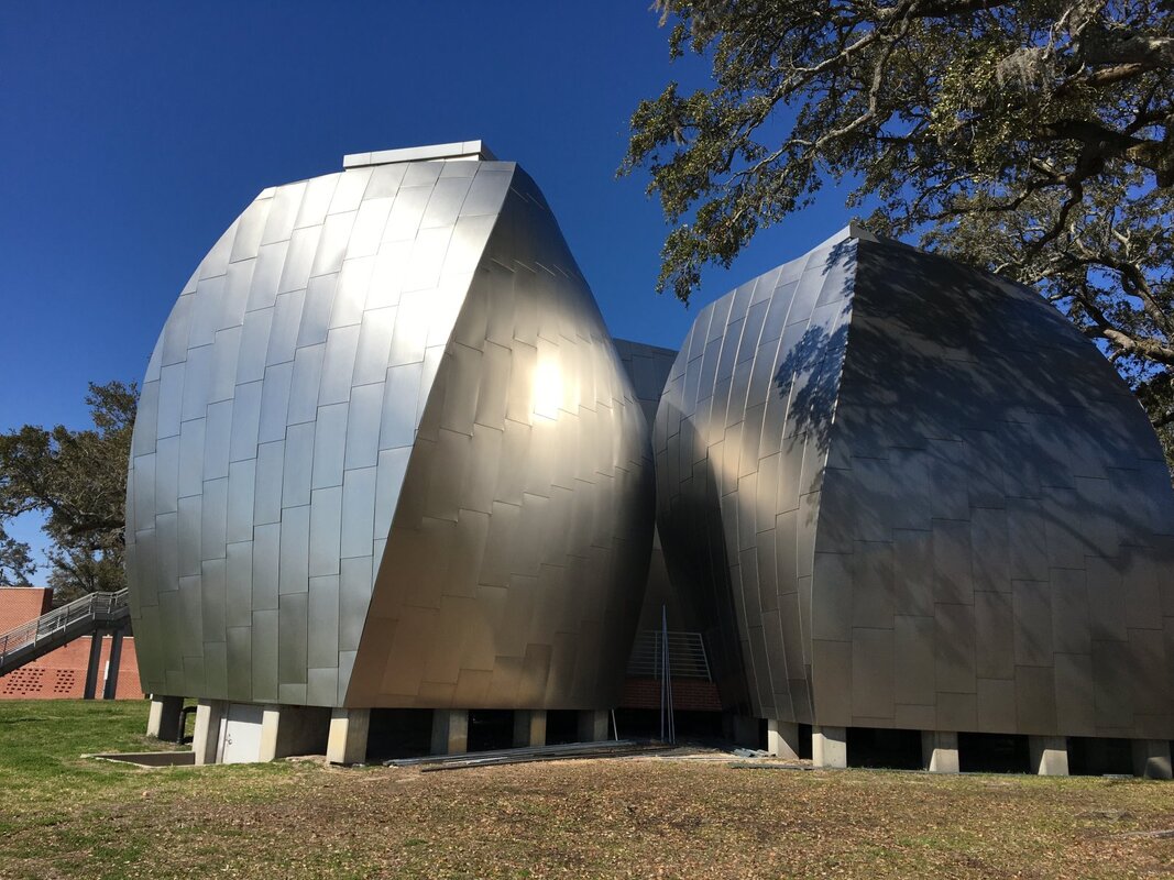
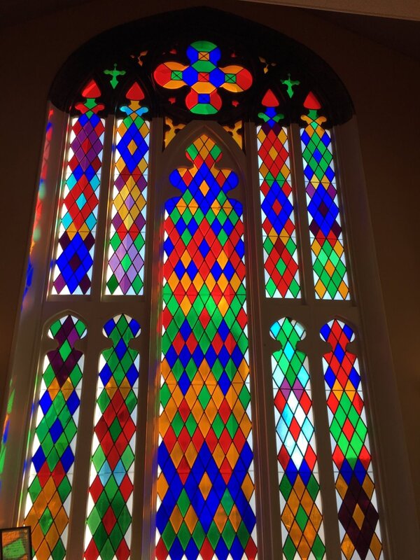
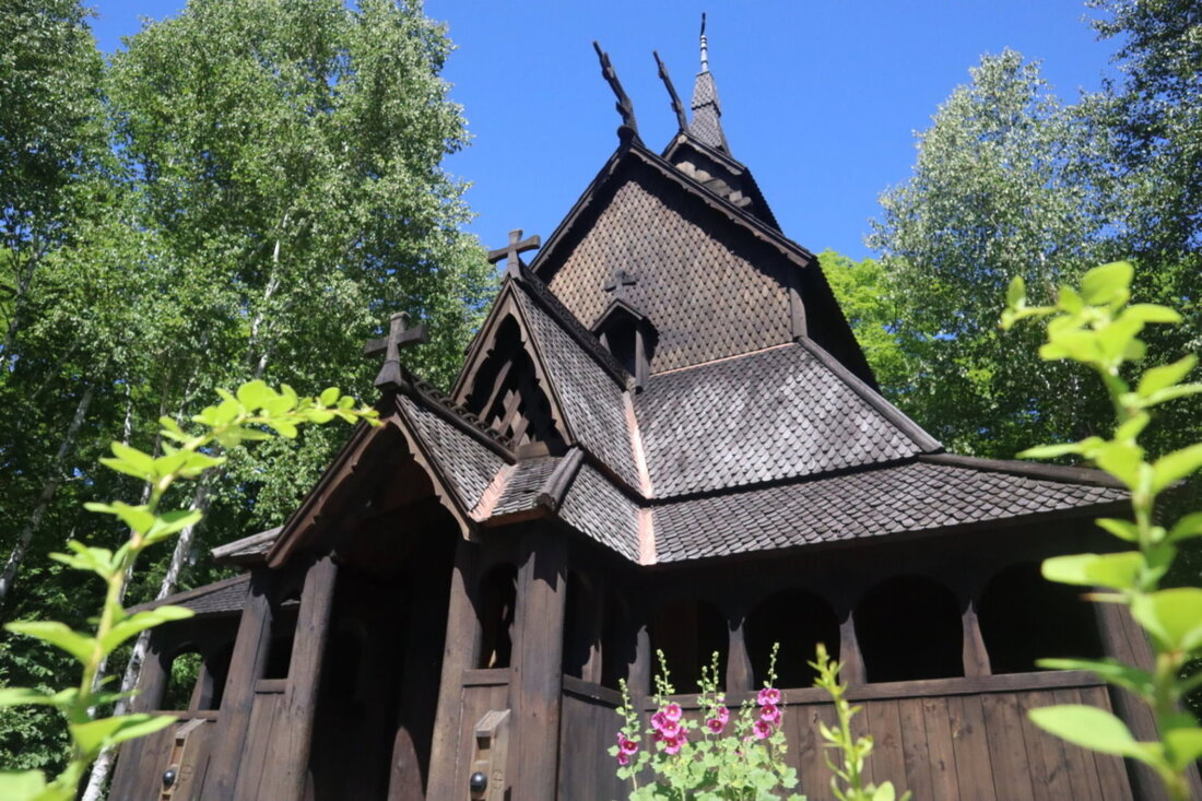
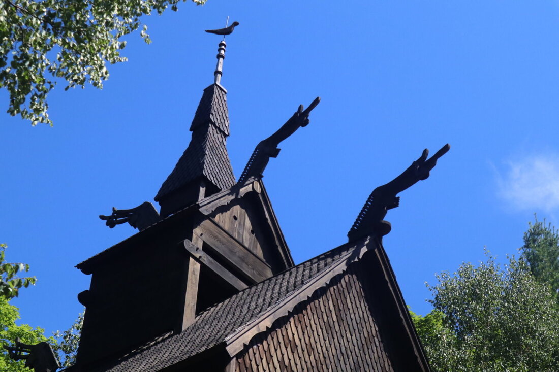
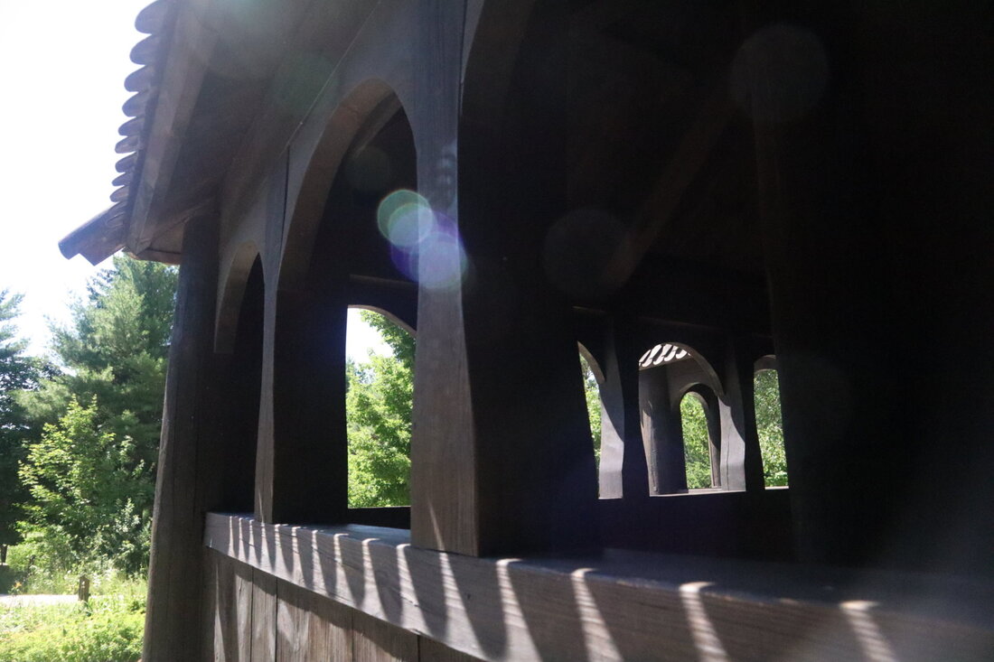
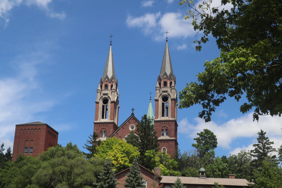
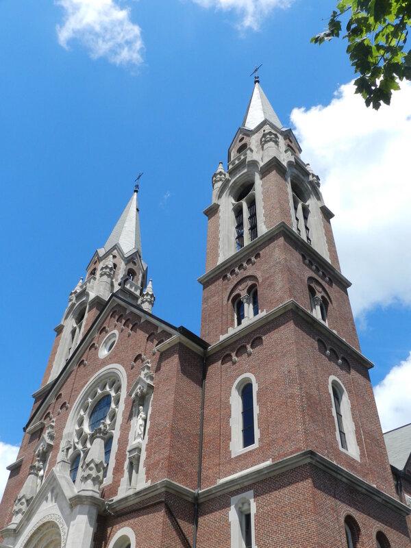
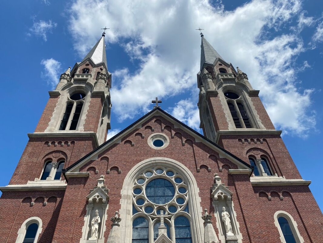
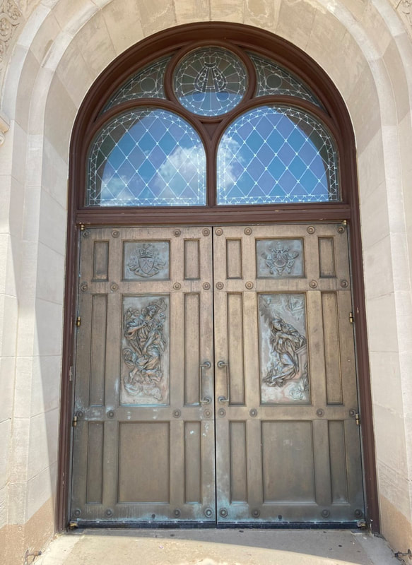
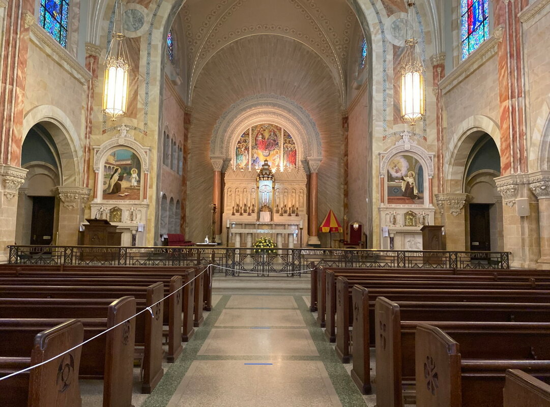
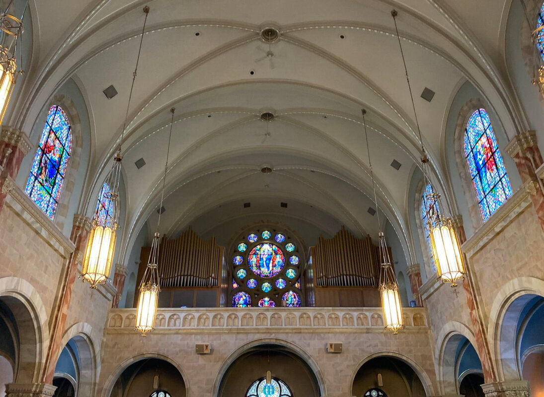
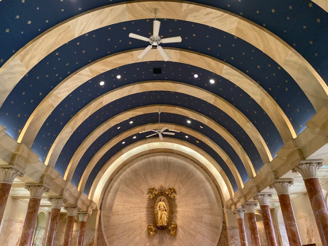
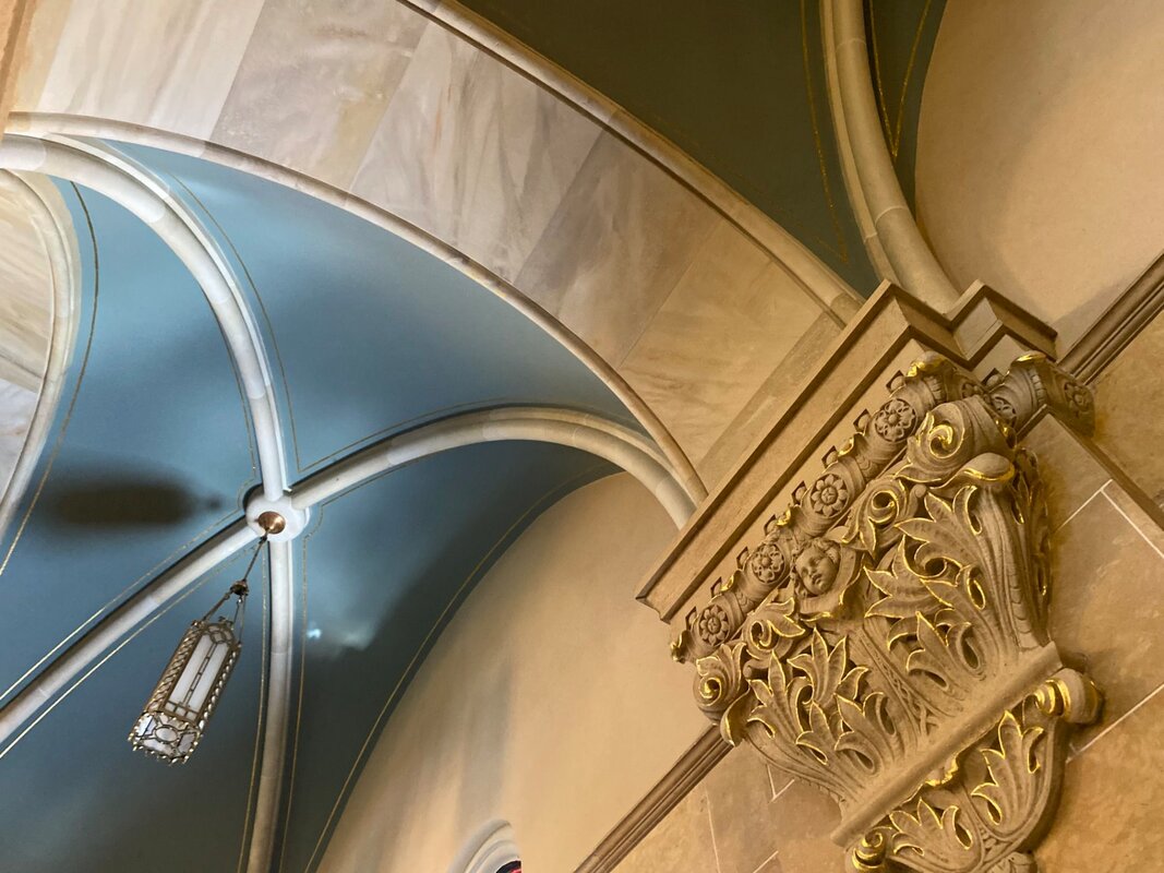
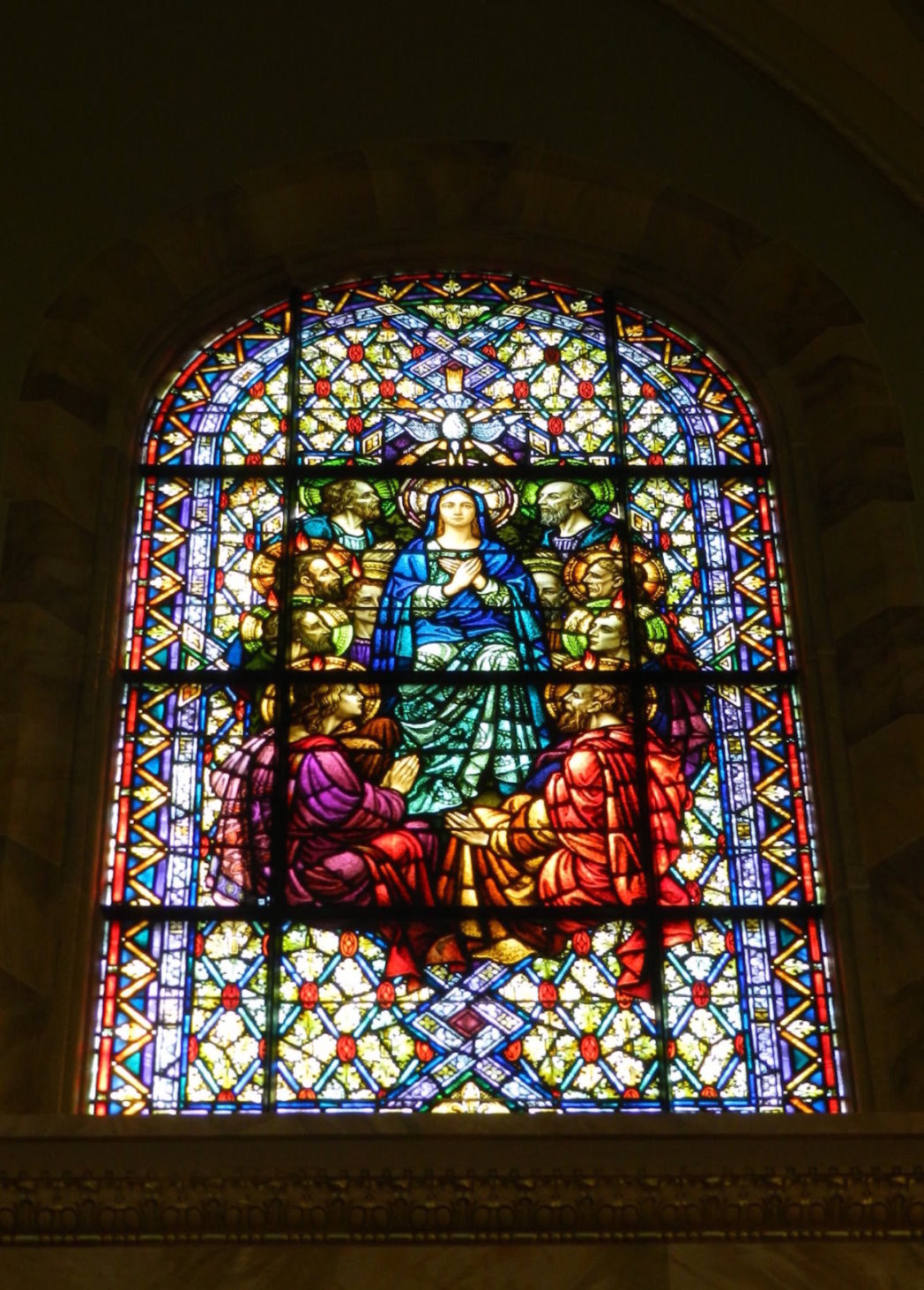
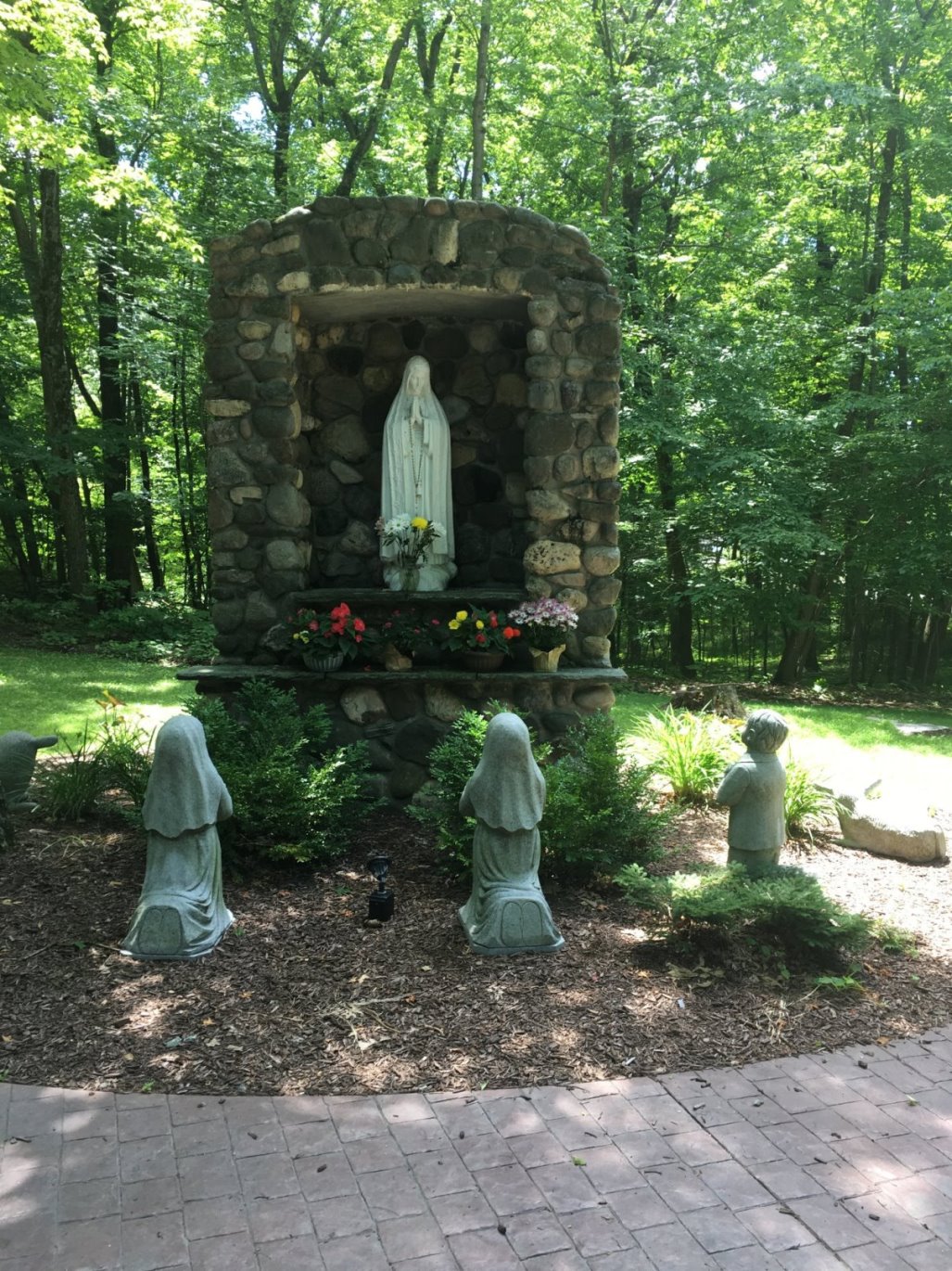
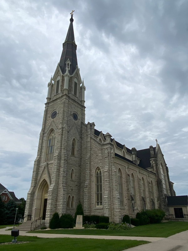
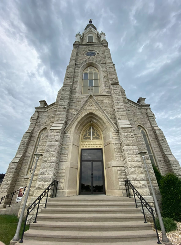
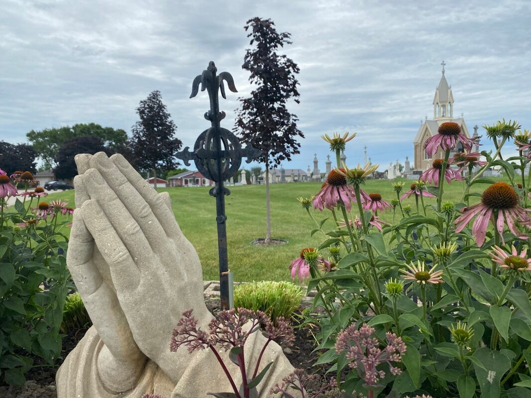
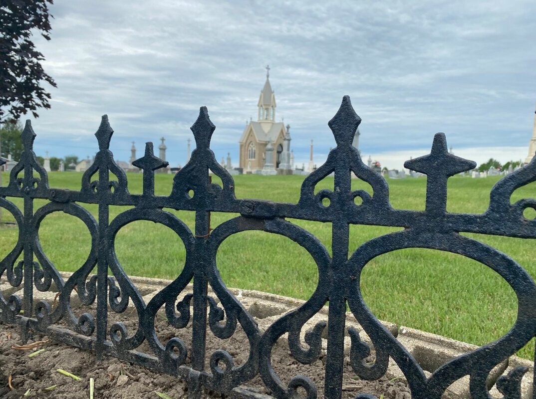
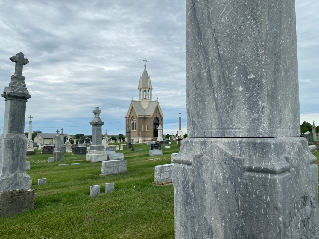
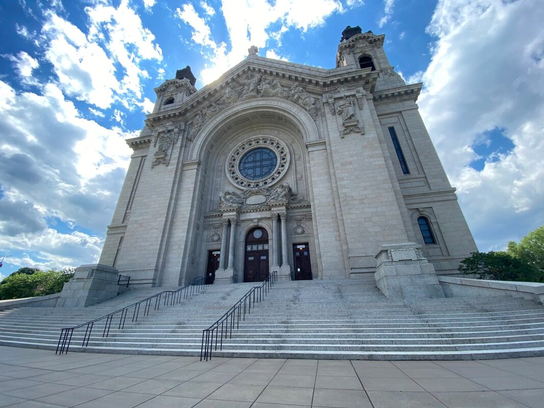
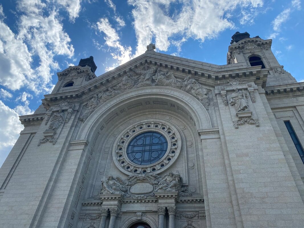
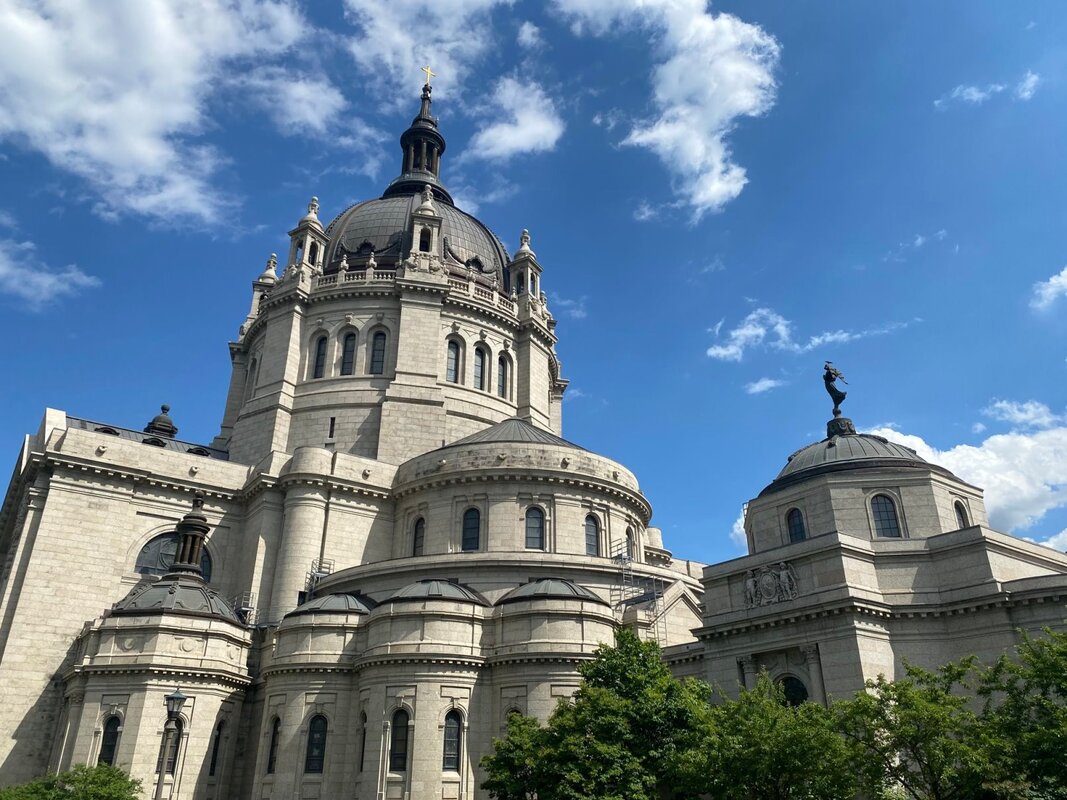
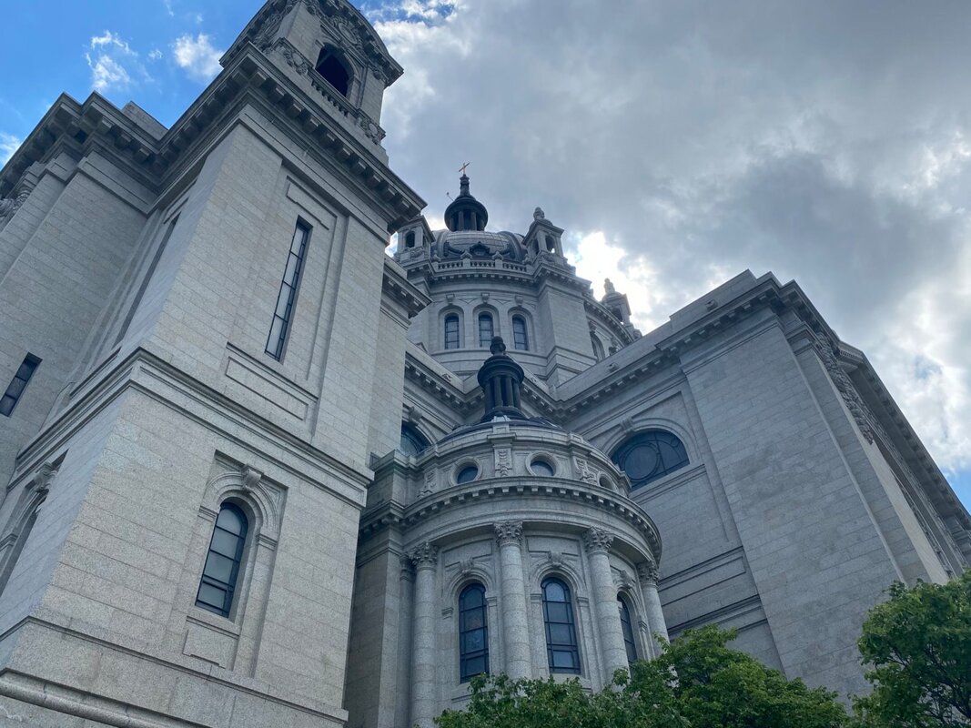
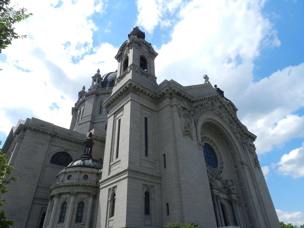
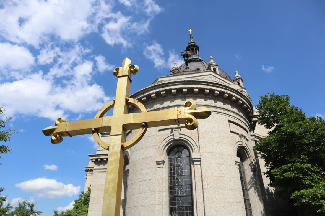
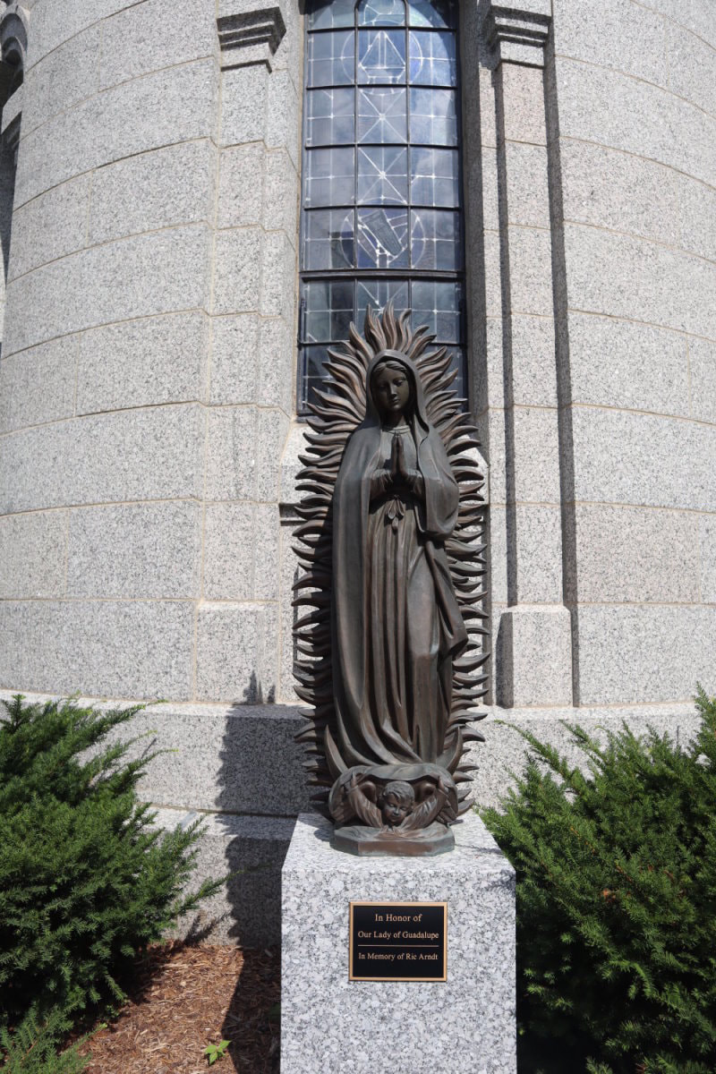
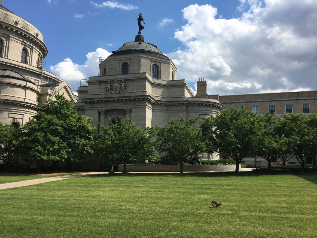
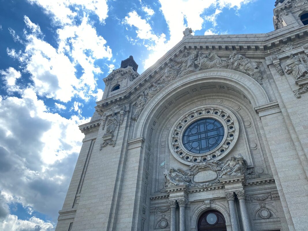
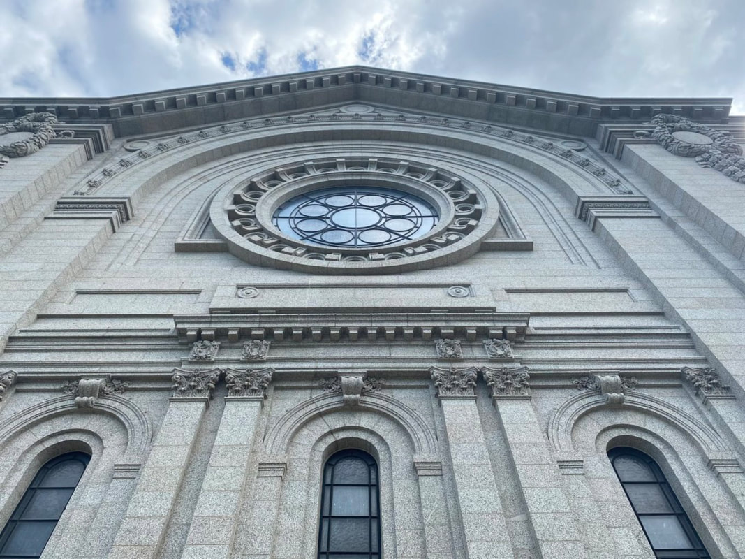
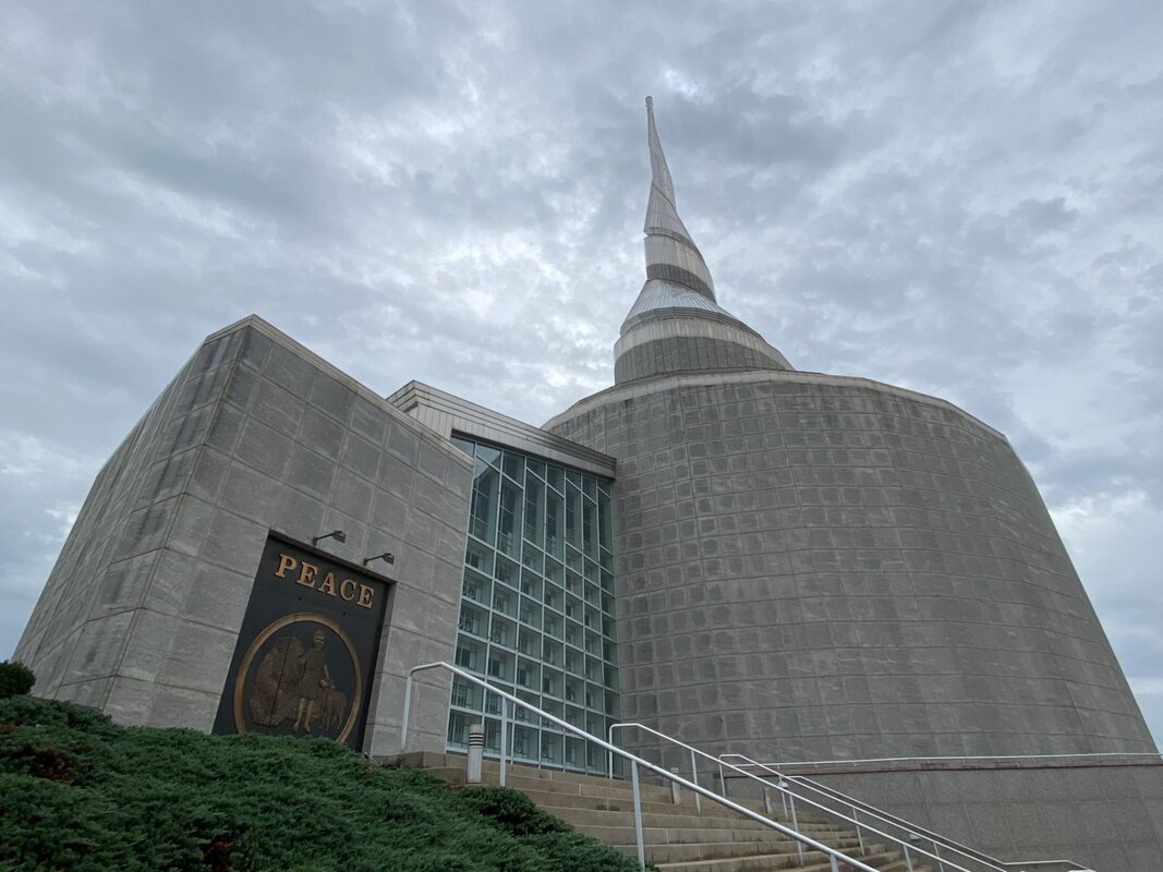
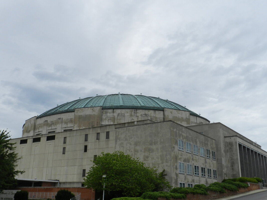
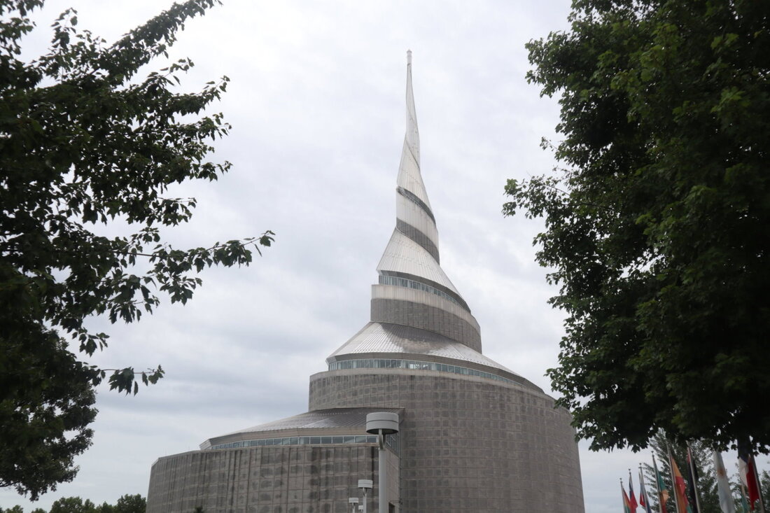
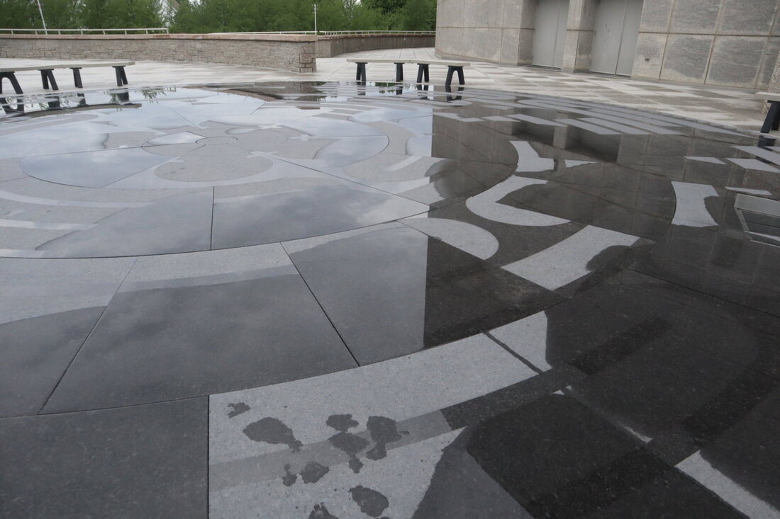
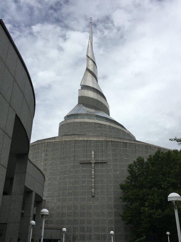
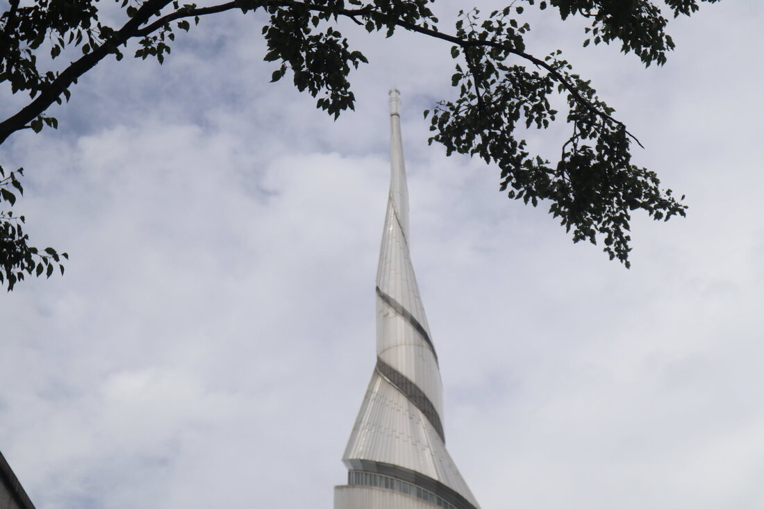
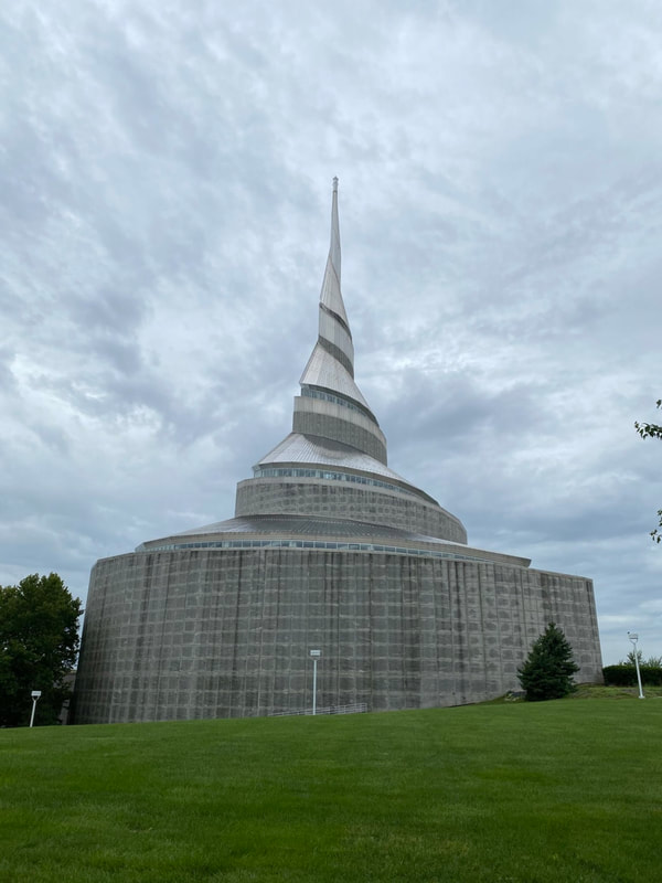
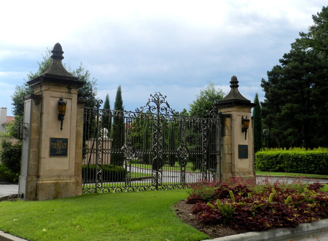
You can see all the photos of our trip to the Southern US on the Adventures/North America page. The Majesty and Beauty of Spiritual Architecture As I briefly mentioned in my last blog post, before I get to the details of the sights that we just saw during our February 2021 “Southern Trip”, I still have a few blogs to write about the “Heartland” trip that we took in 2020; mostly blogs that aggregate several sites from a specific category into a single blog. Today’s blog is about the Churches and Cathedrals that we saw during our travels. During our 30-day, 9376 mile, road trip to see more of America we visited numerous Churches and Cathedrals to include:
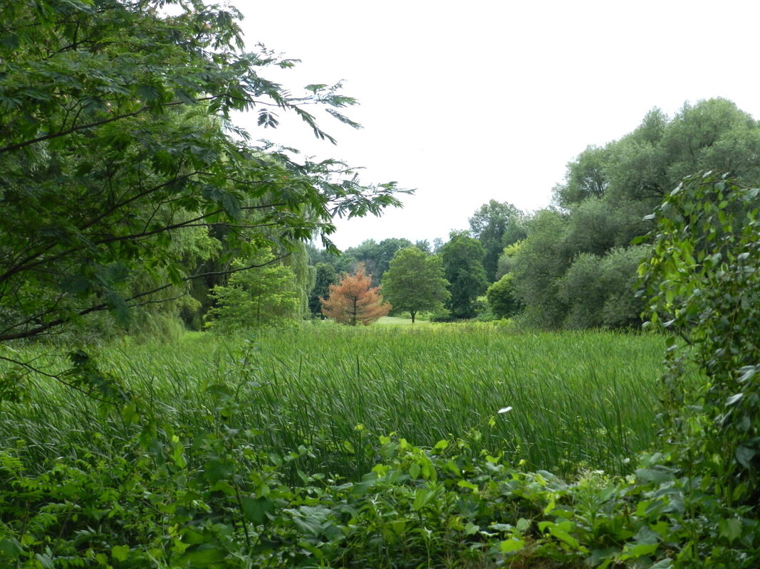
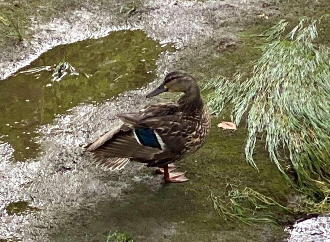
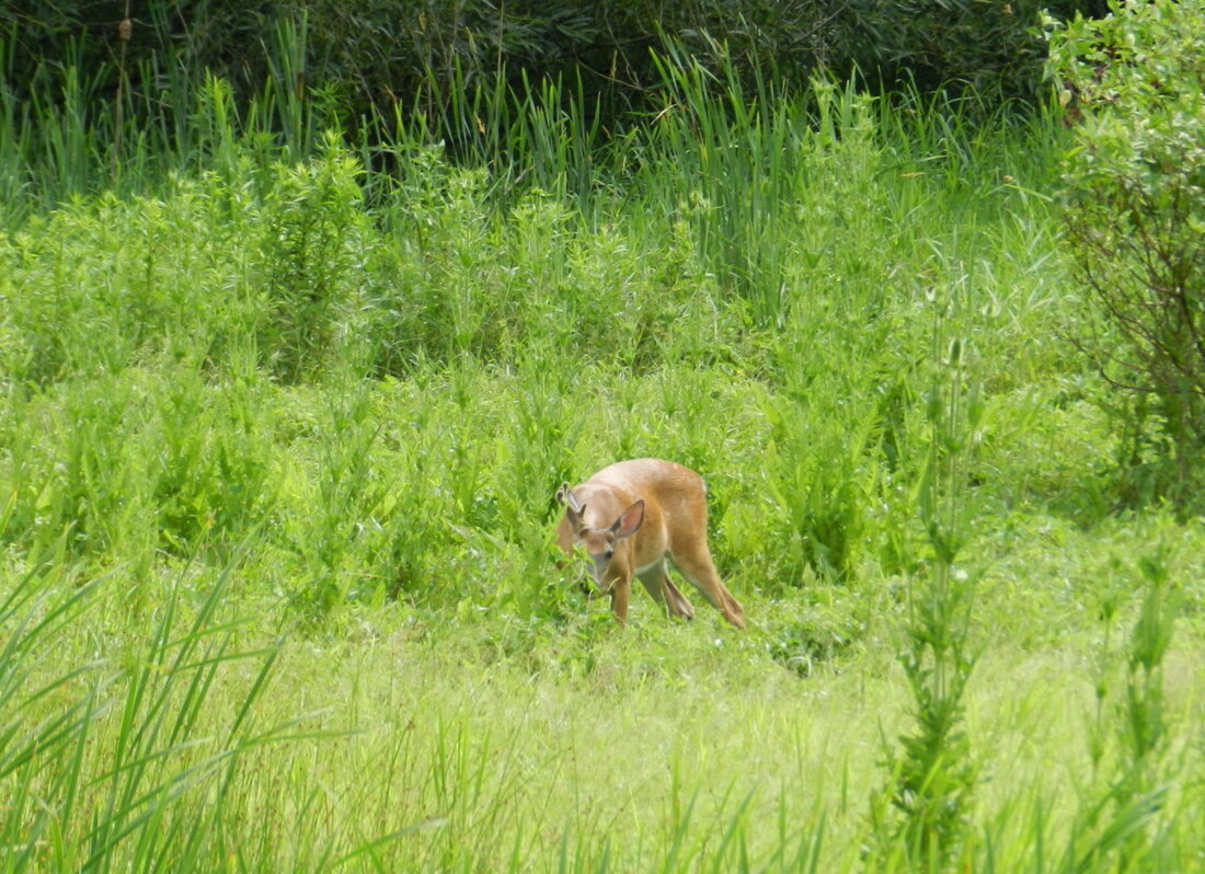
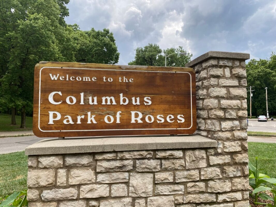
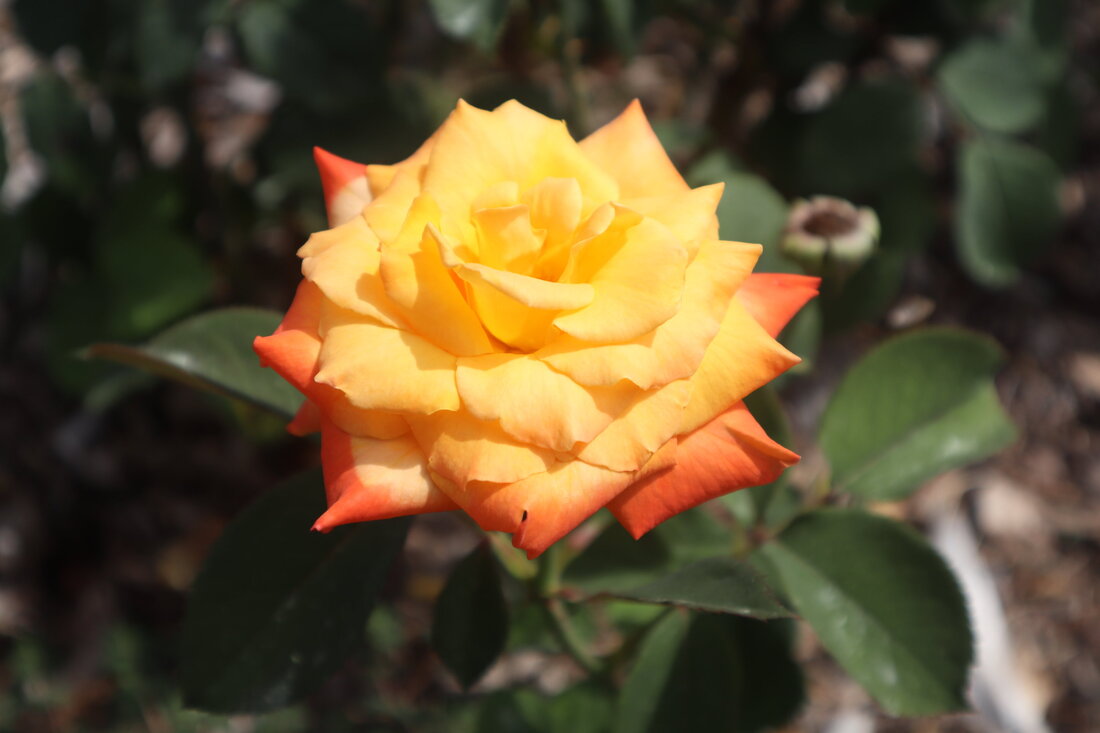
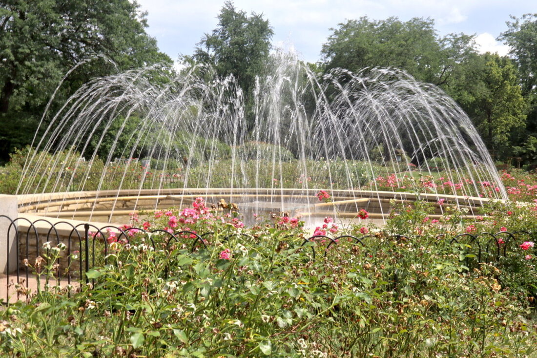
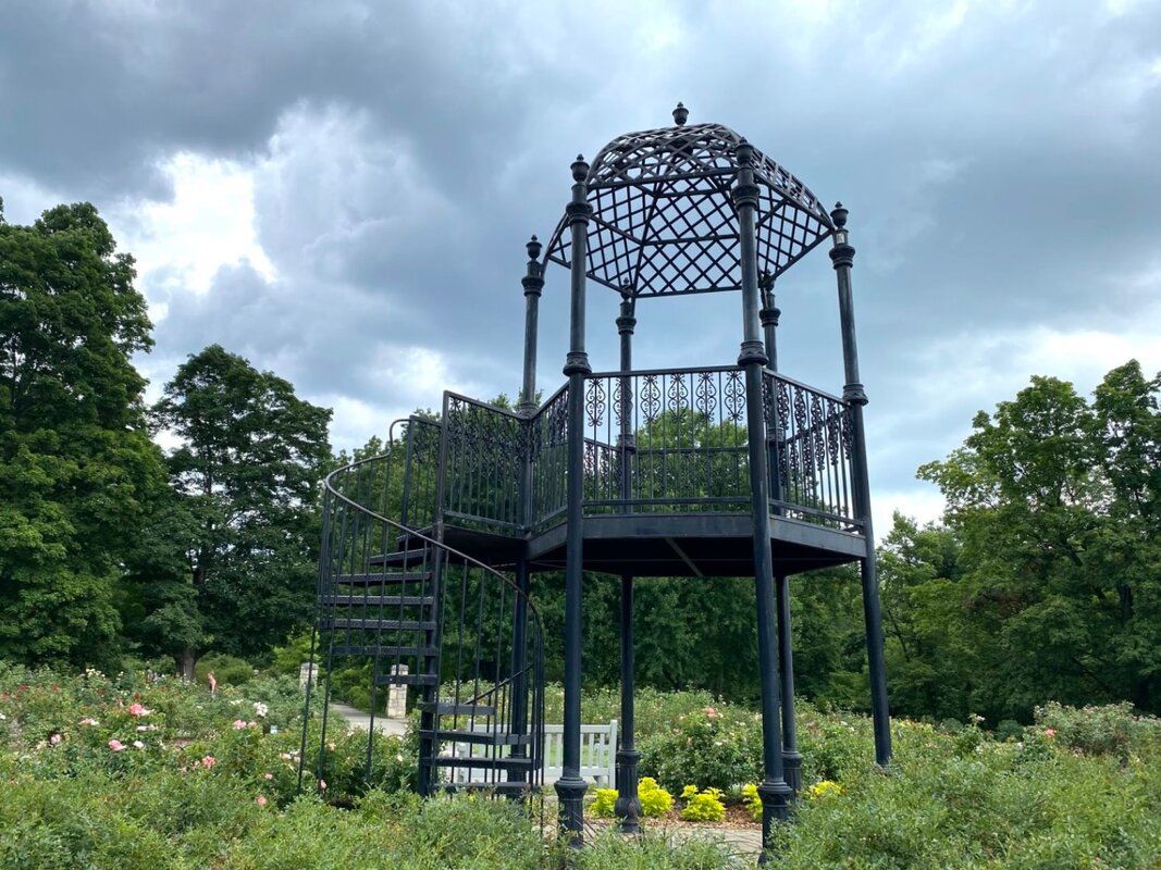
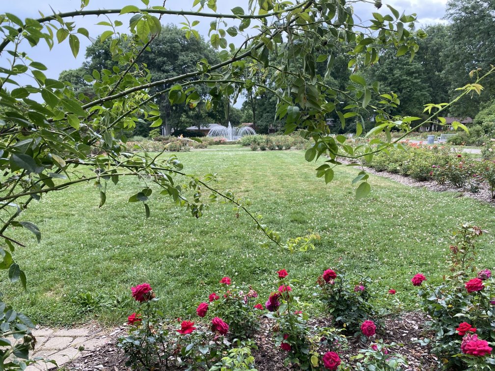
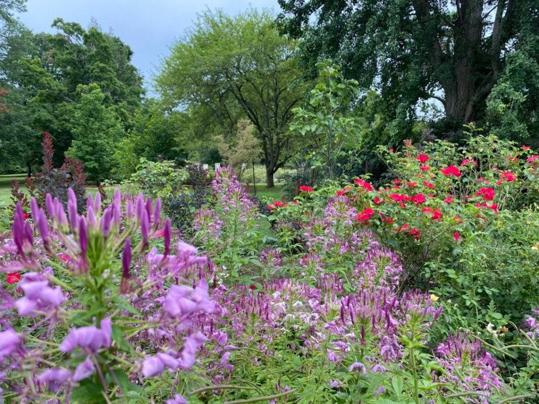
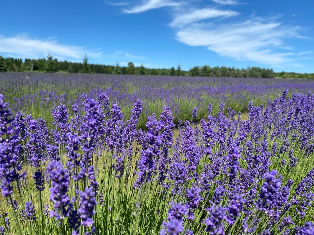
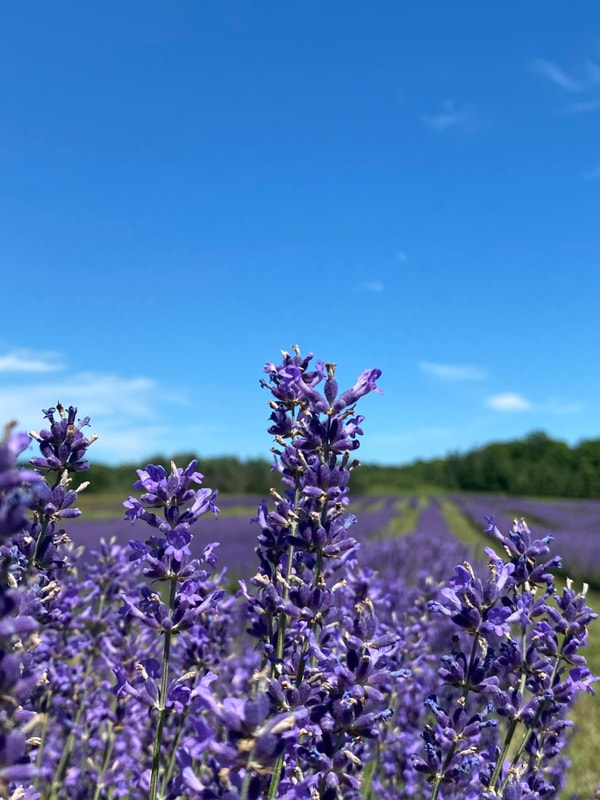
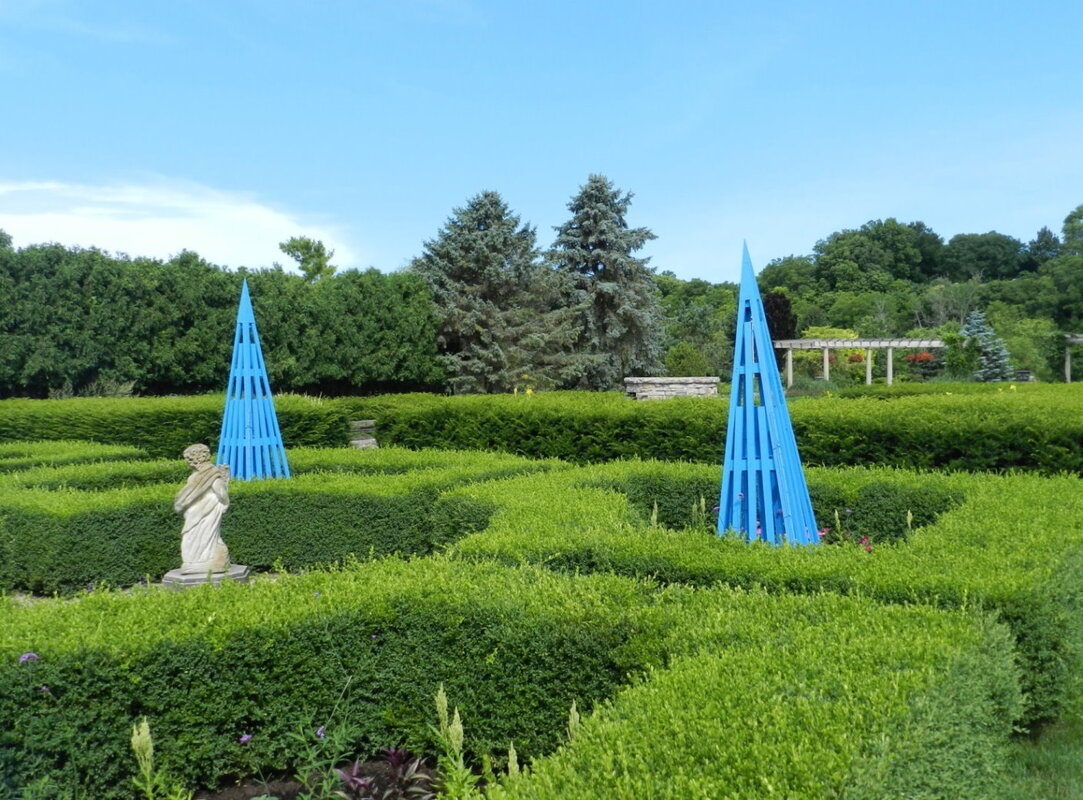
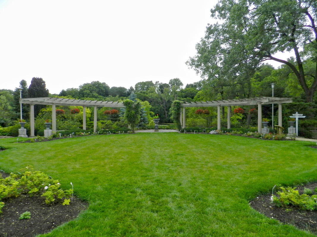
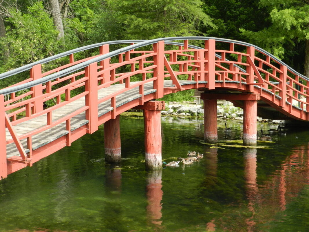
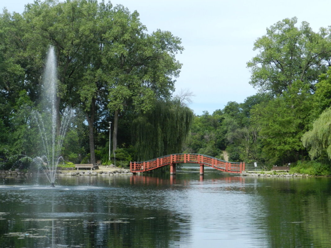
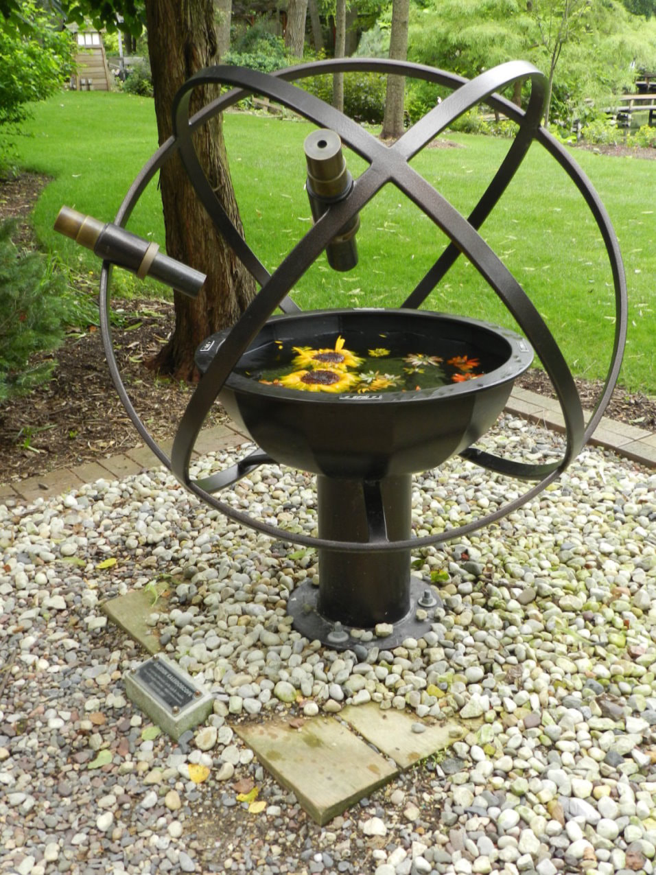
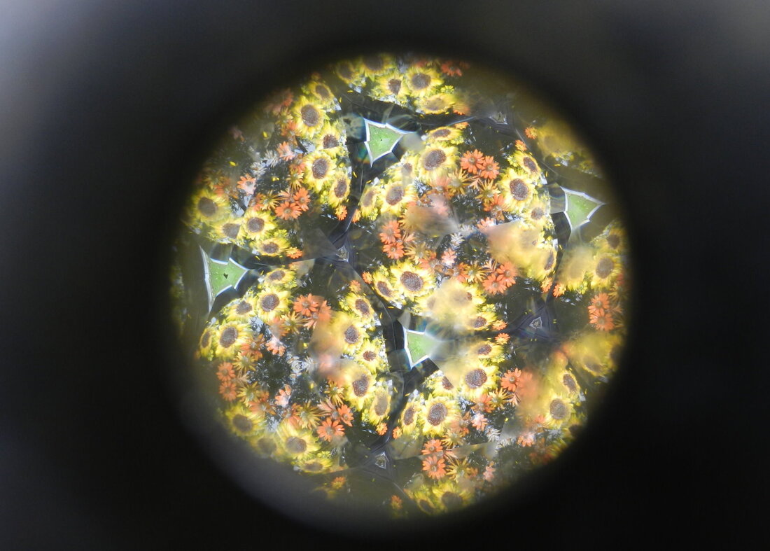
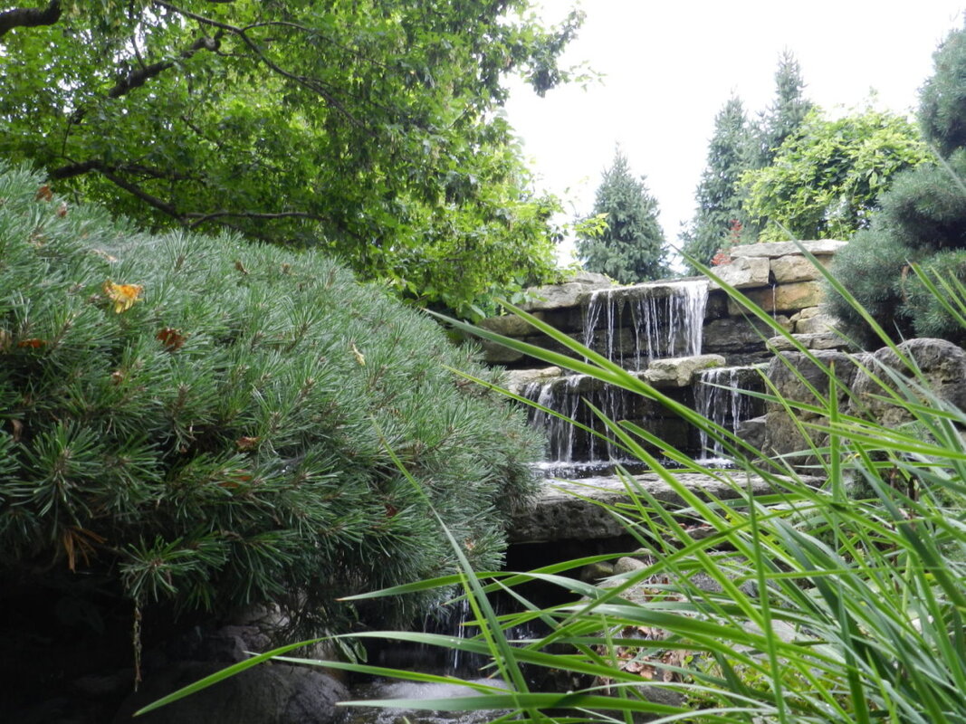
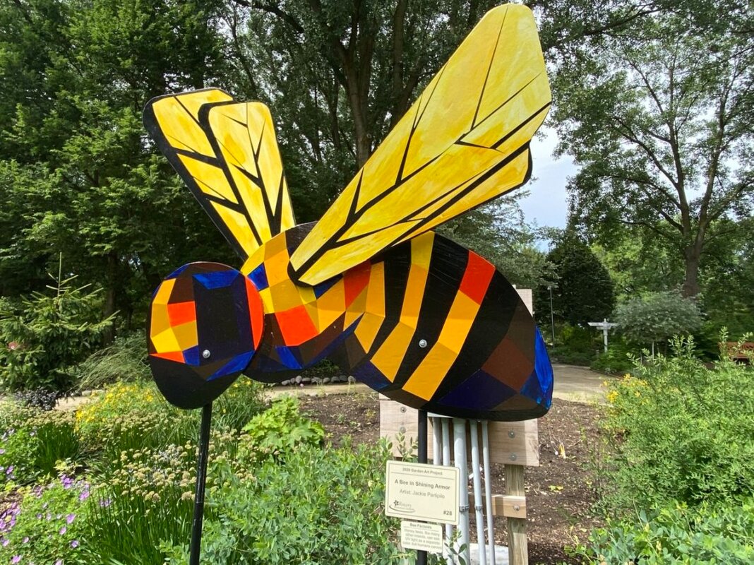
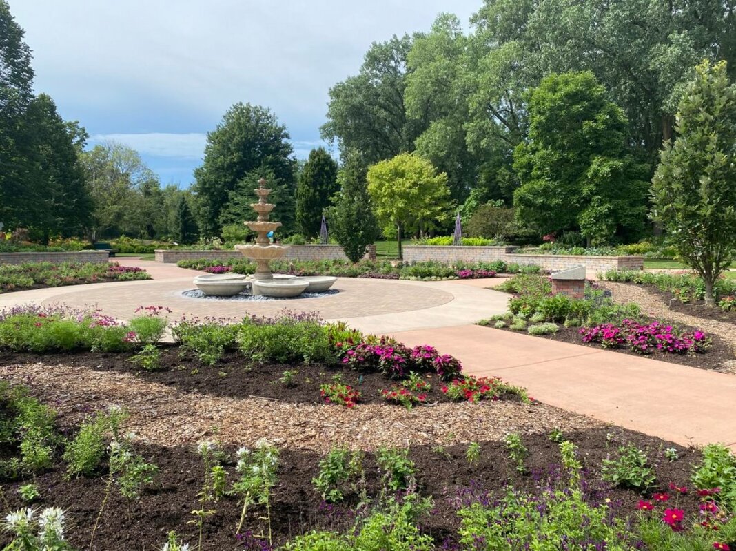
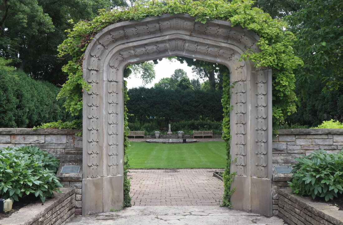
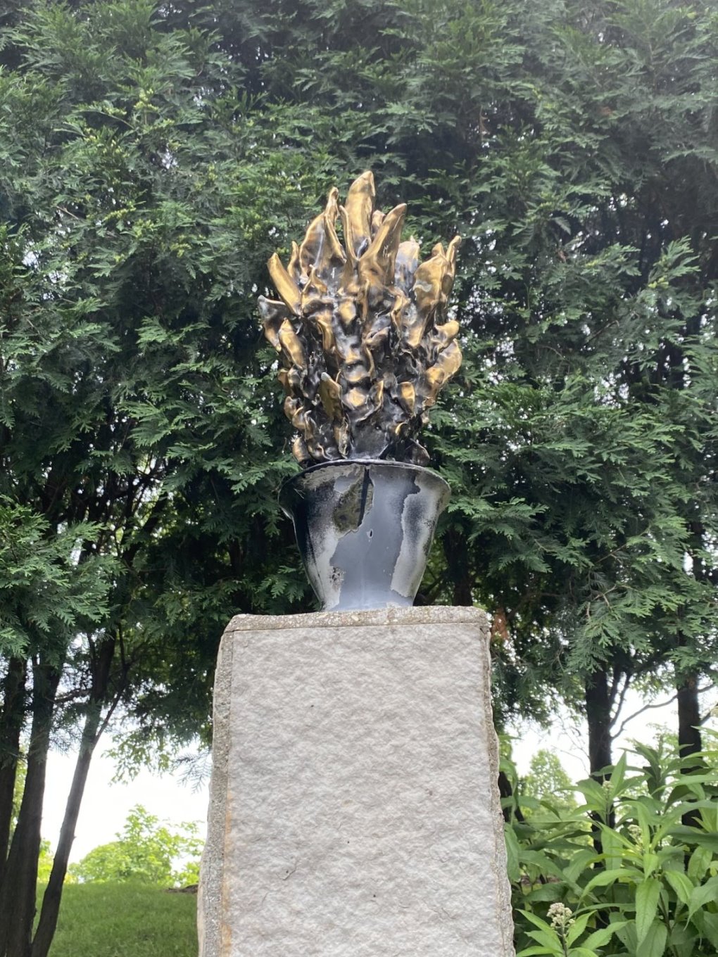
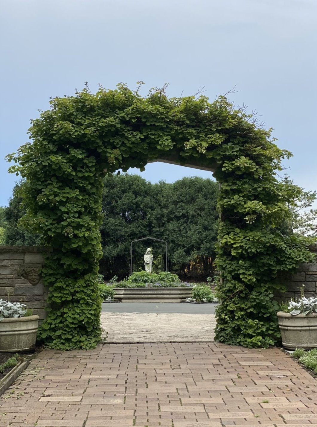
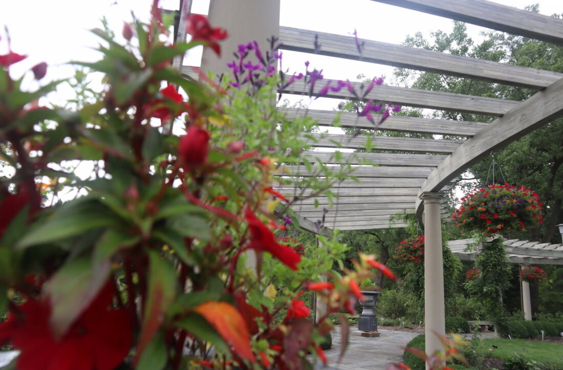
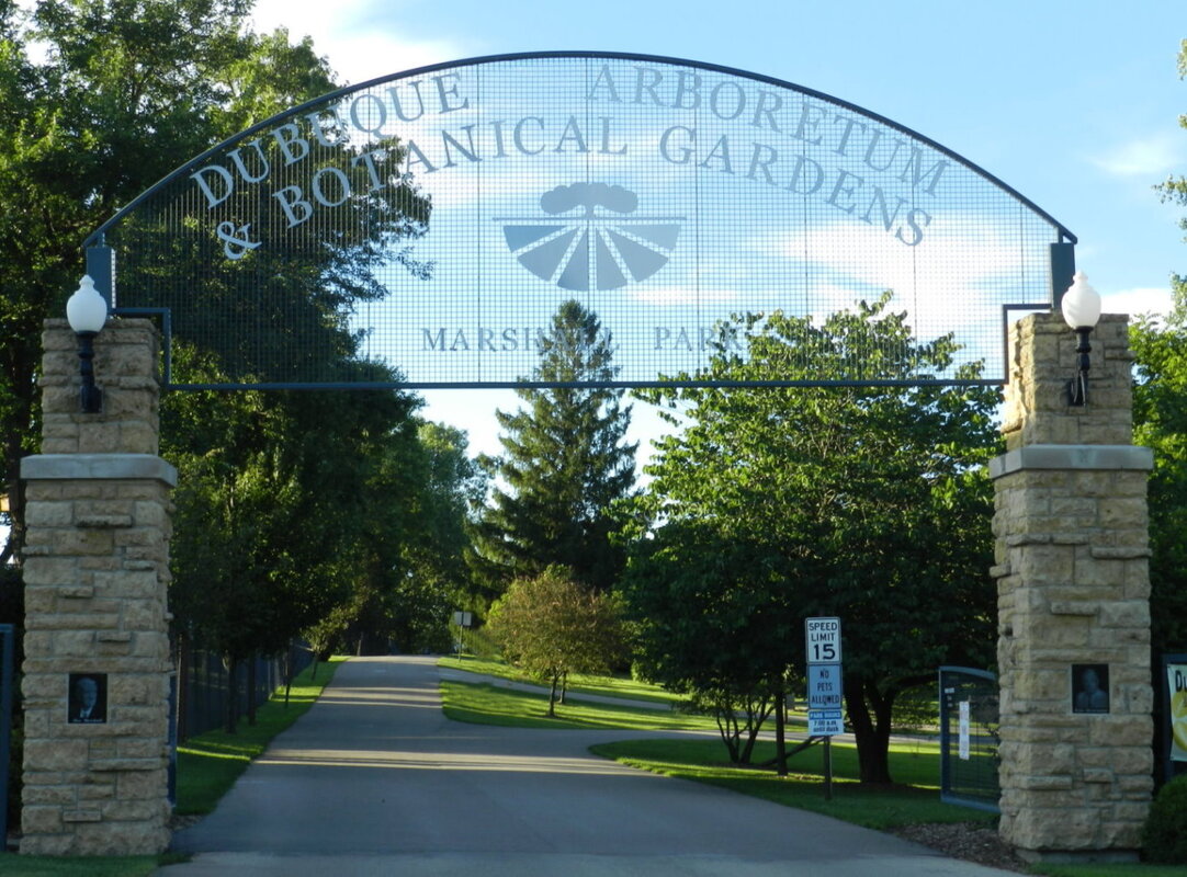
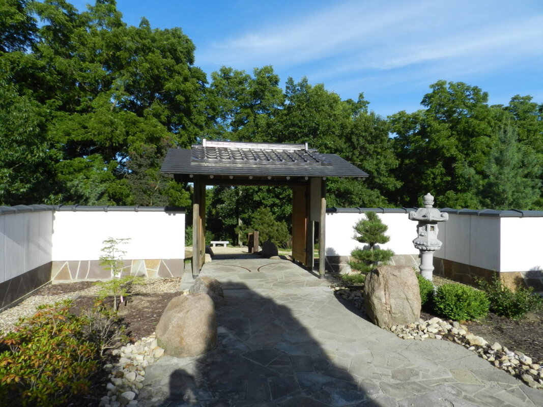
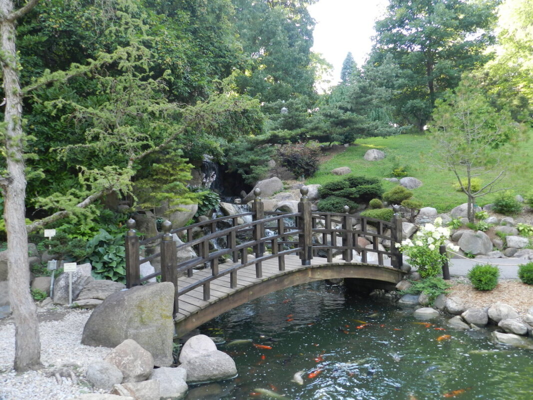
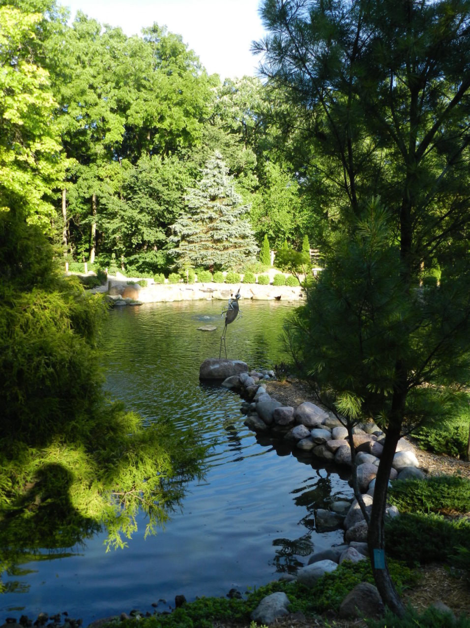
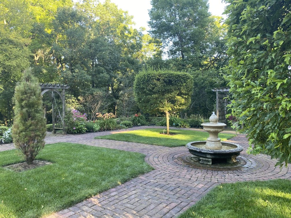
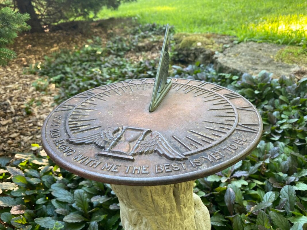
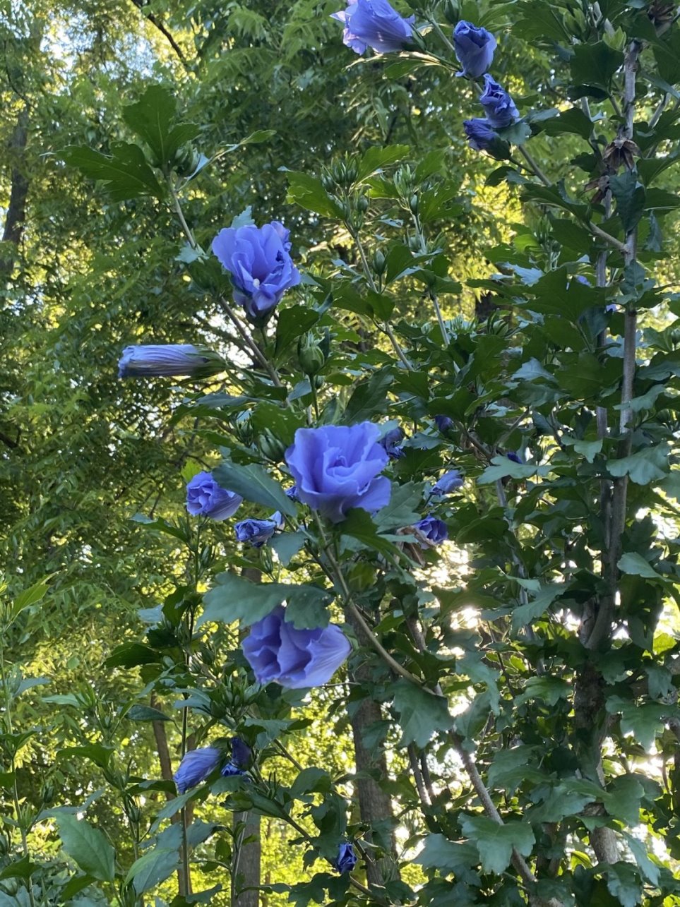
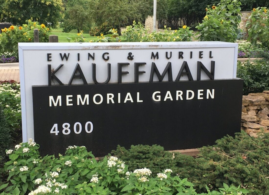
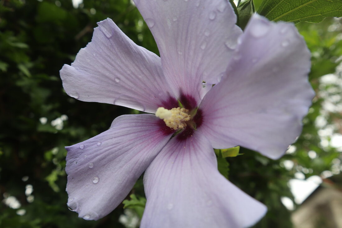
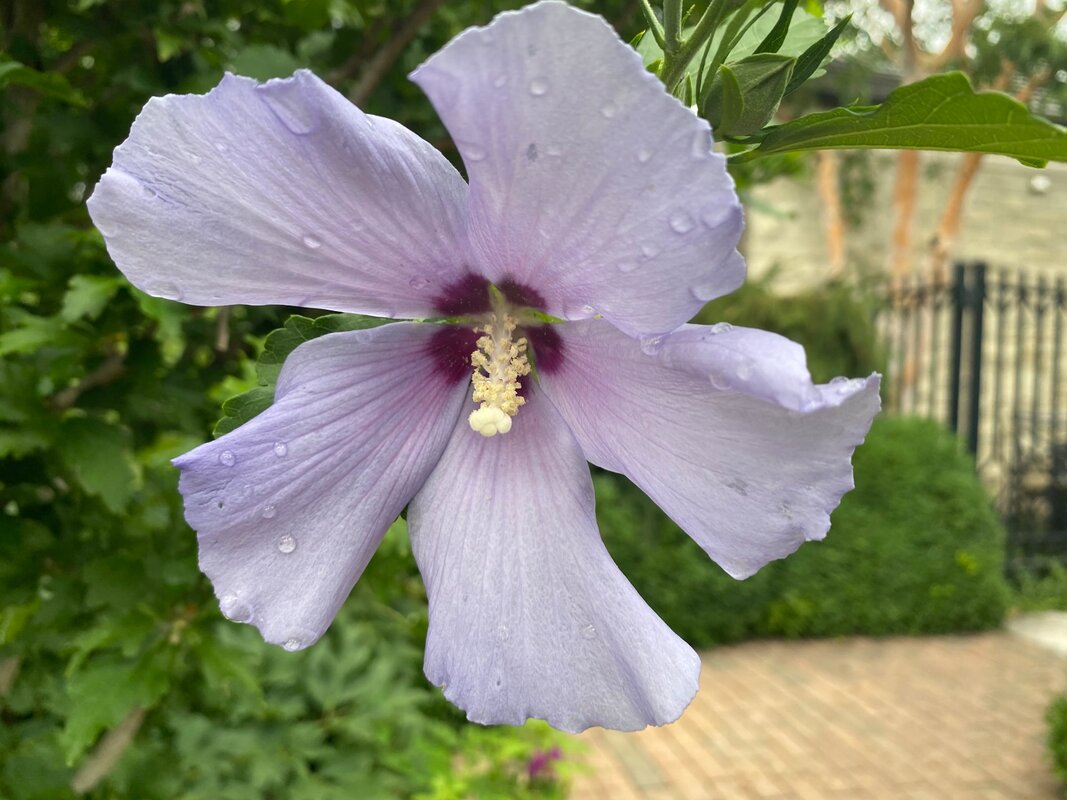
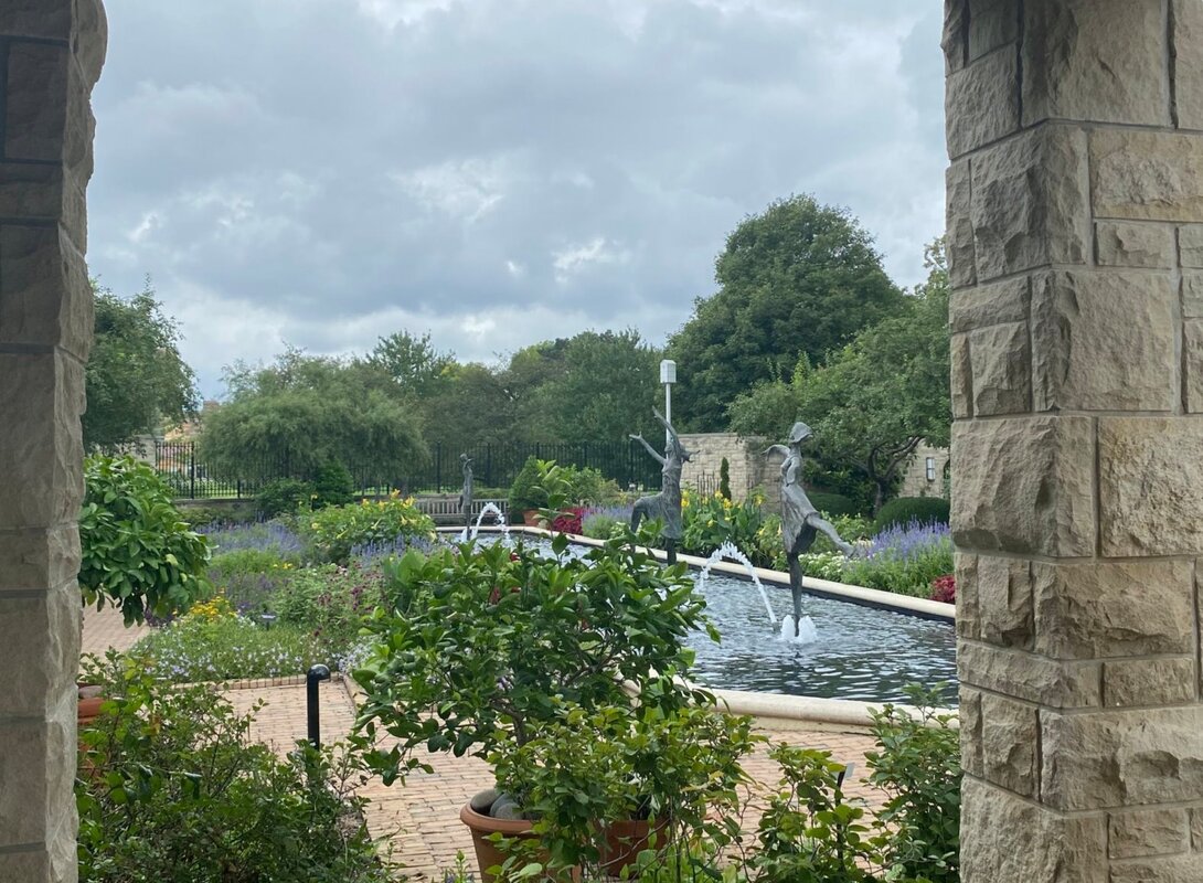
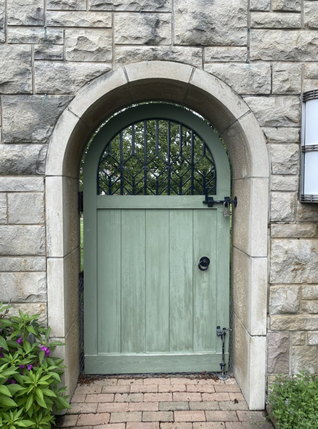
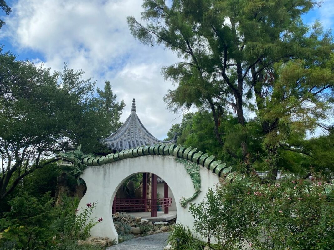
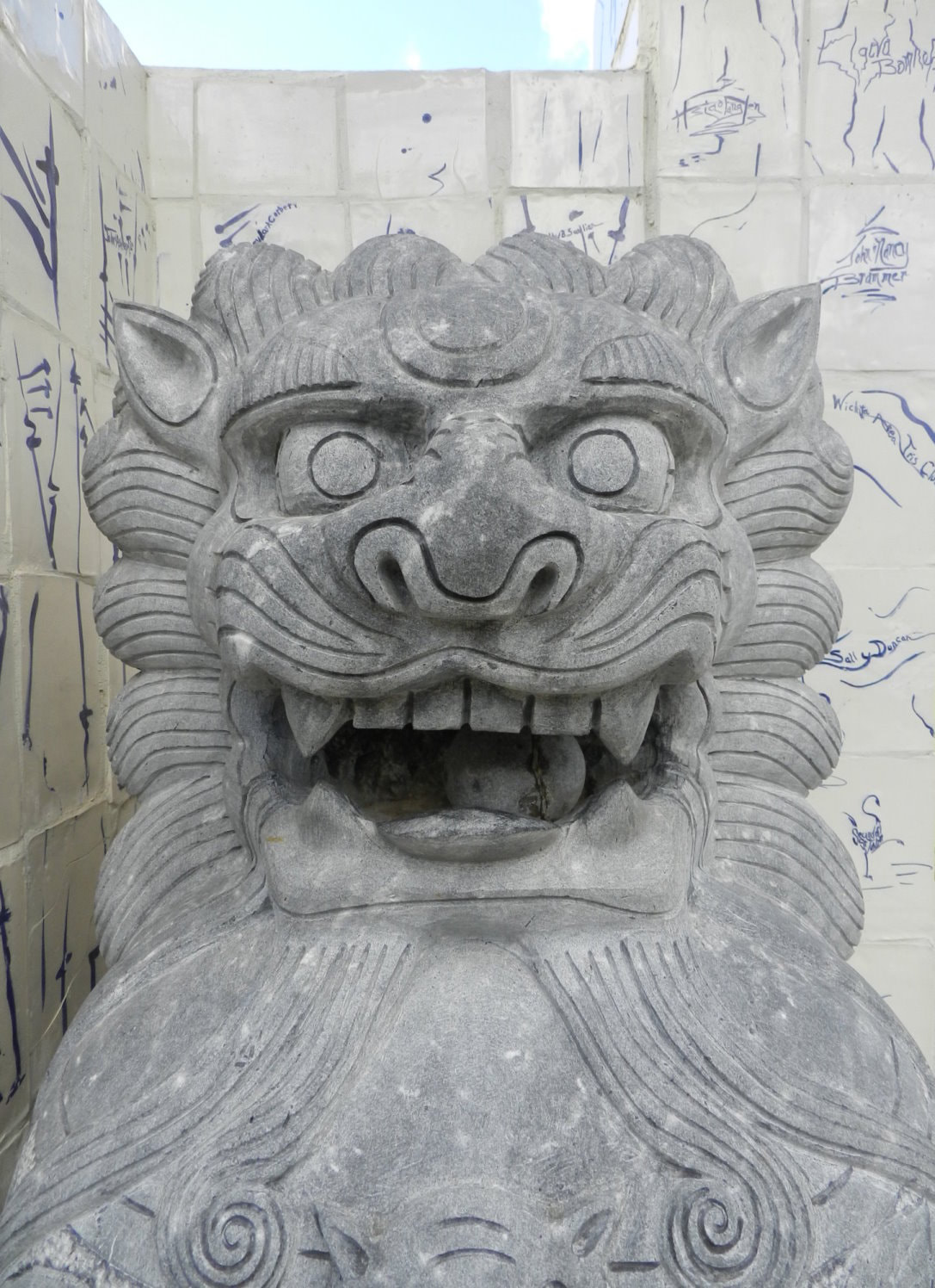
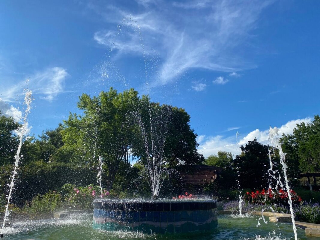
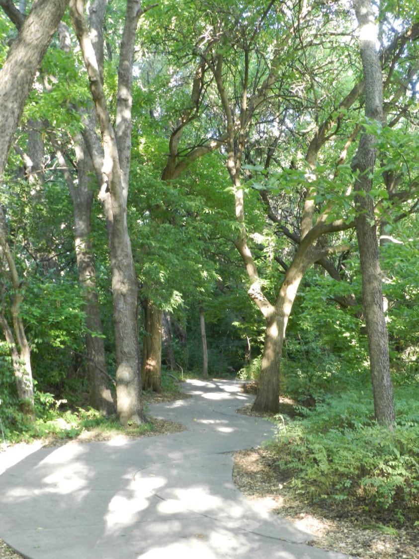
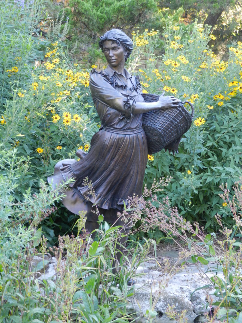
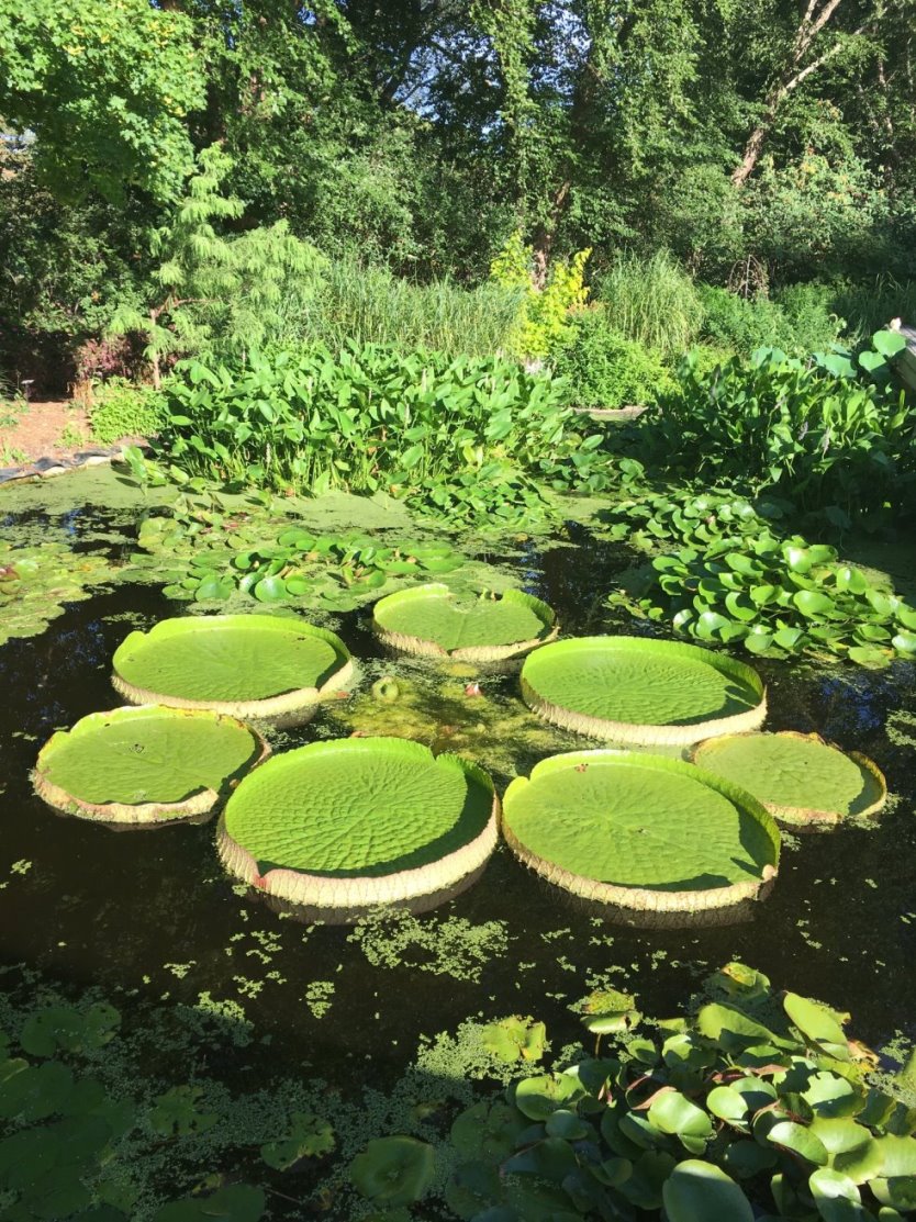
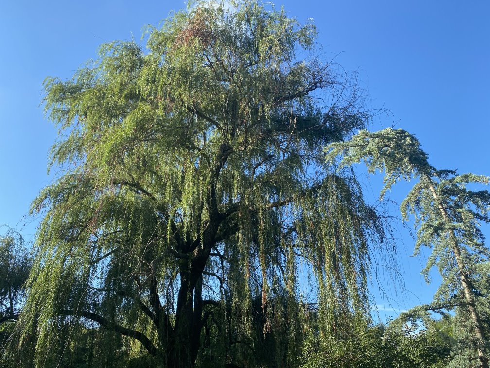
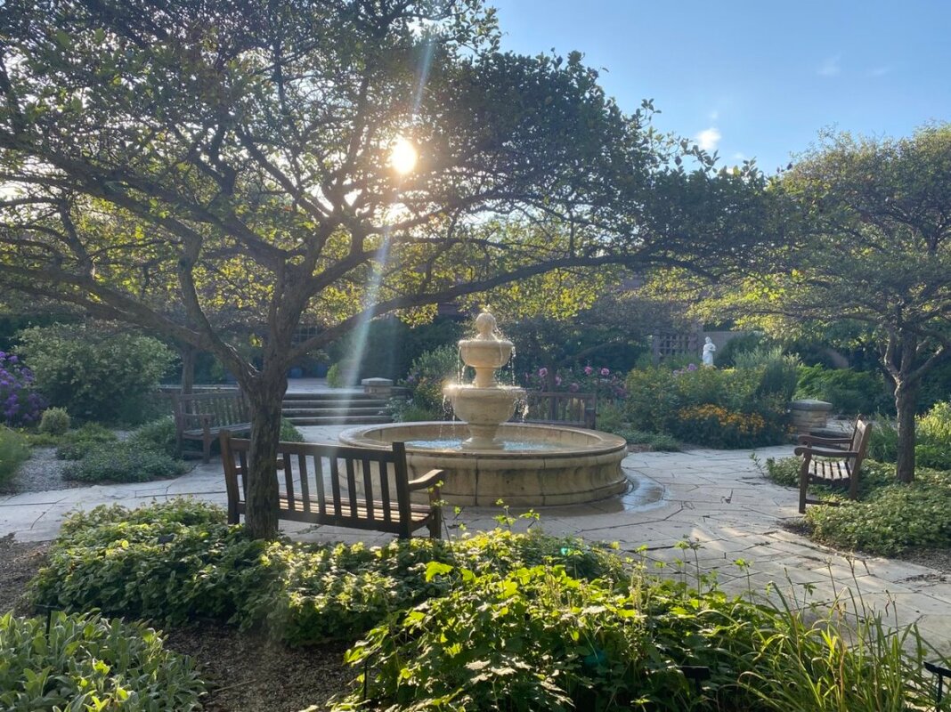
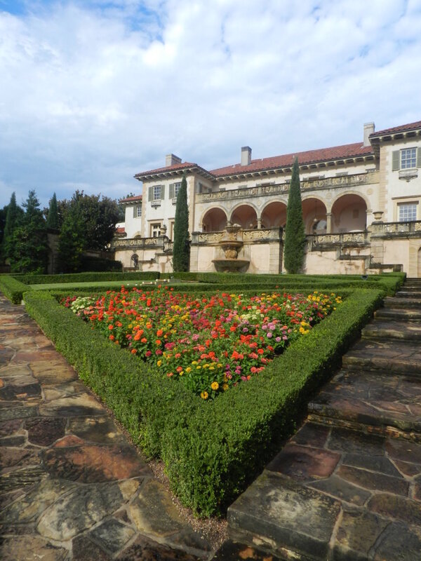
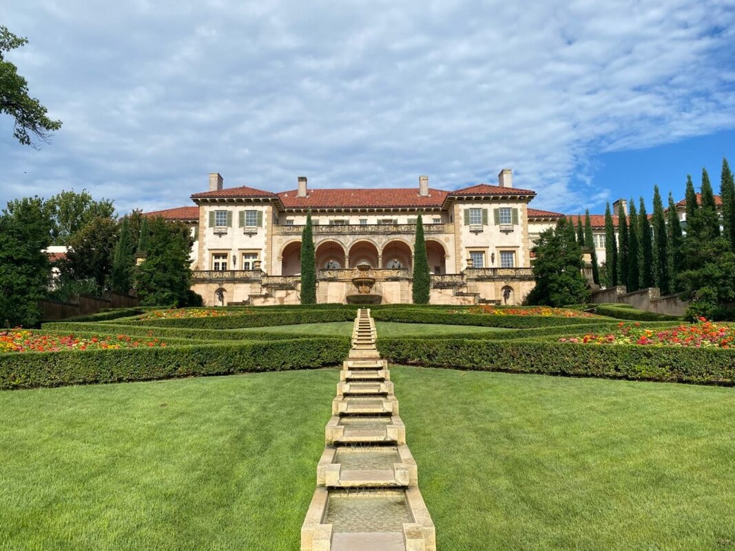
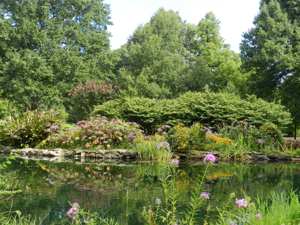
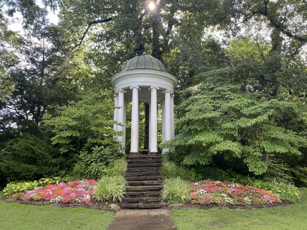
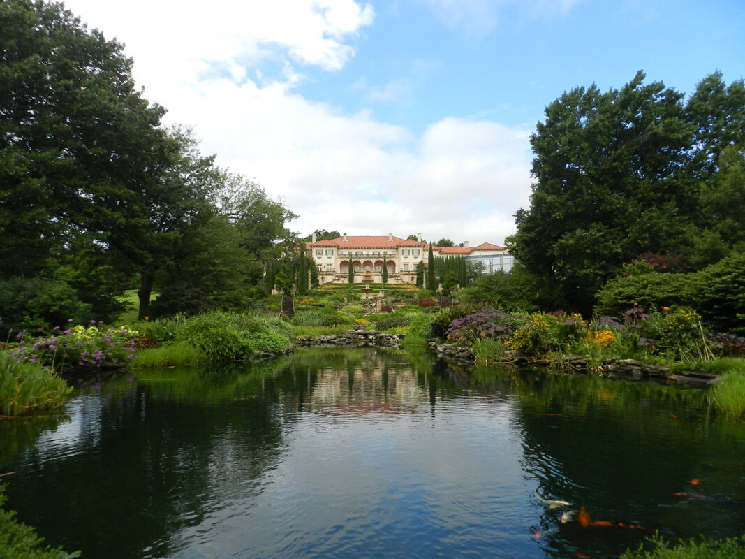
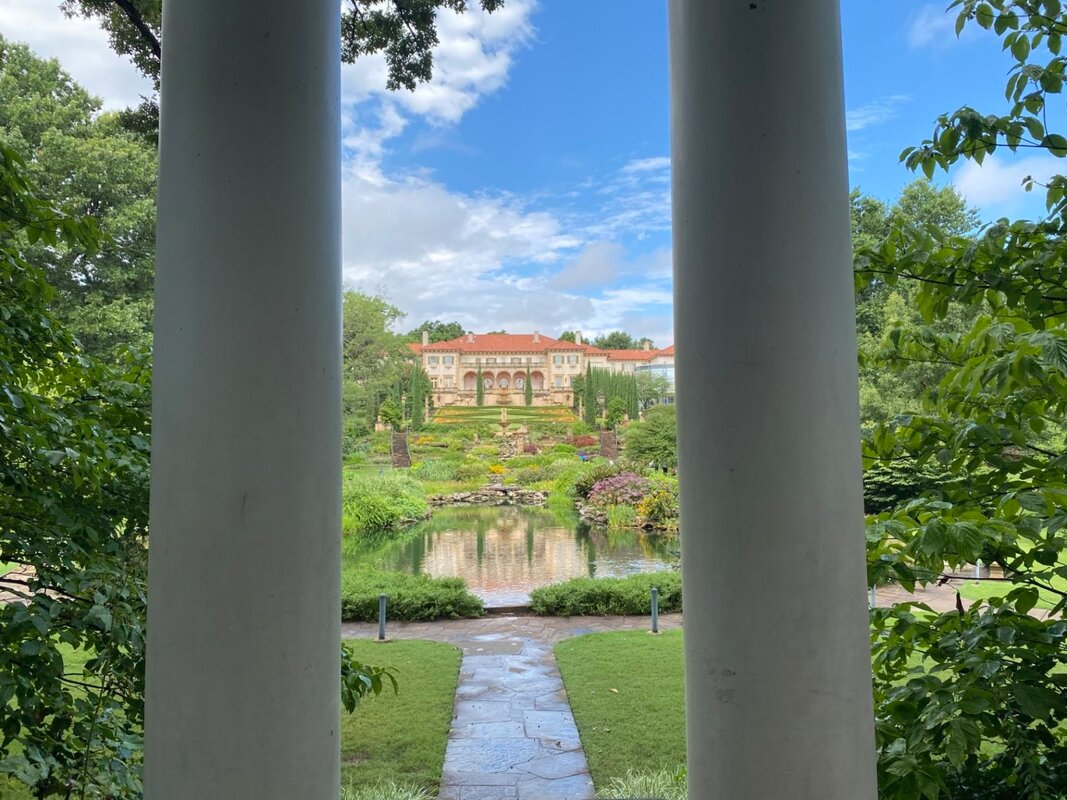
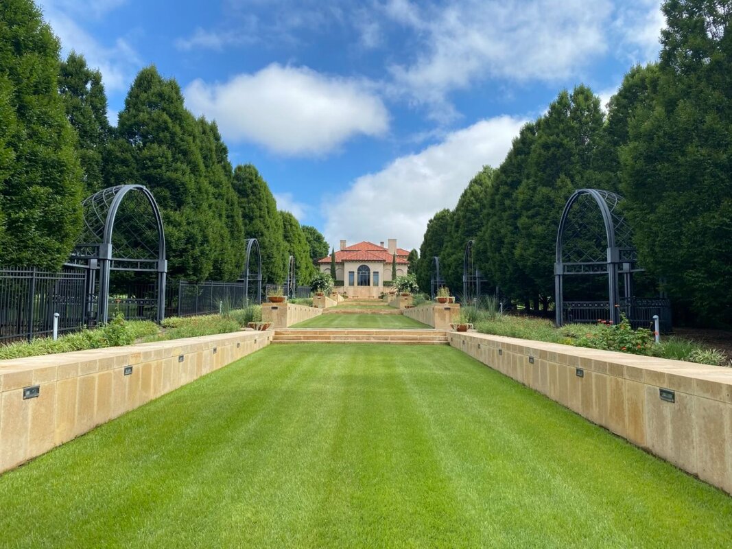
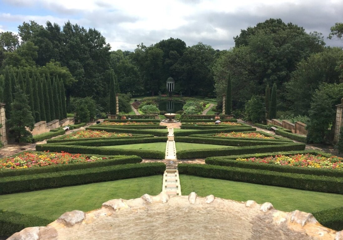
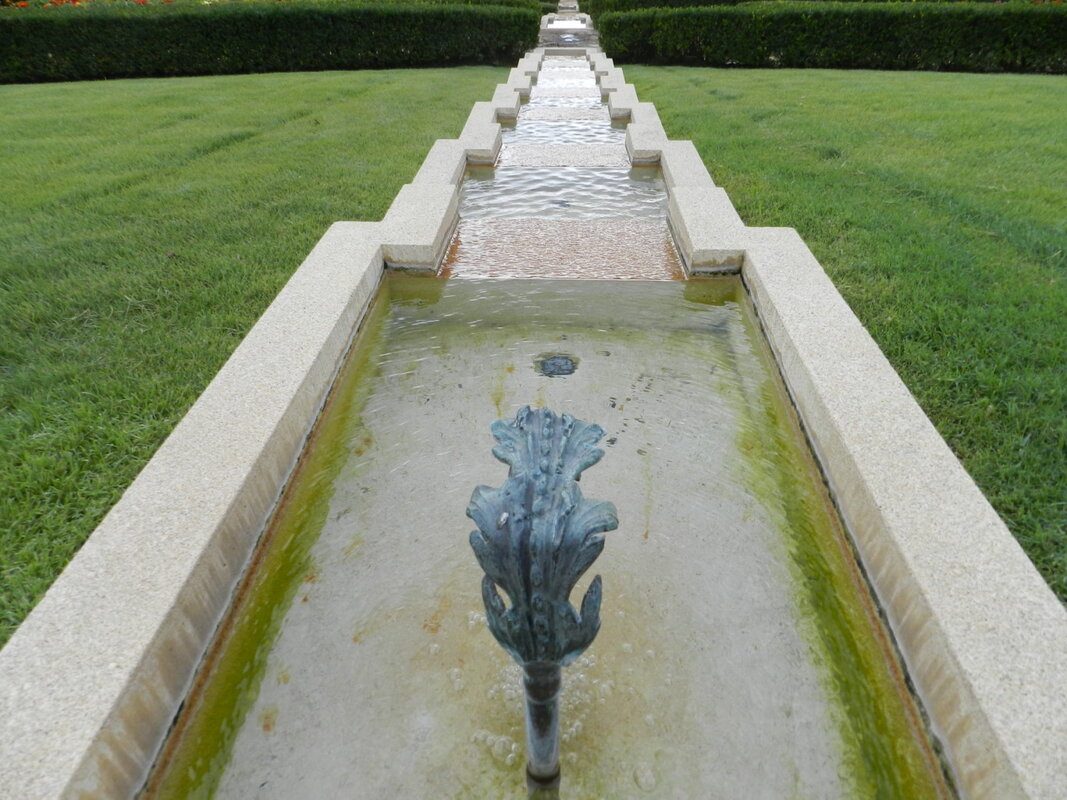
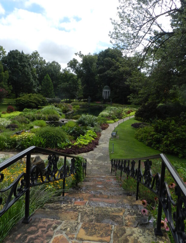
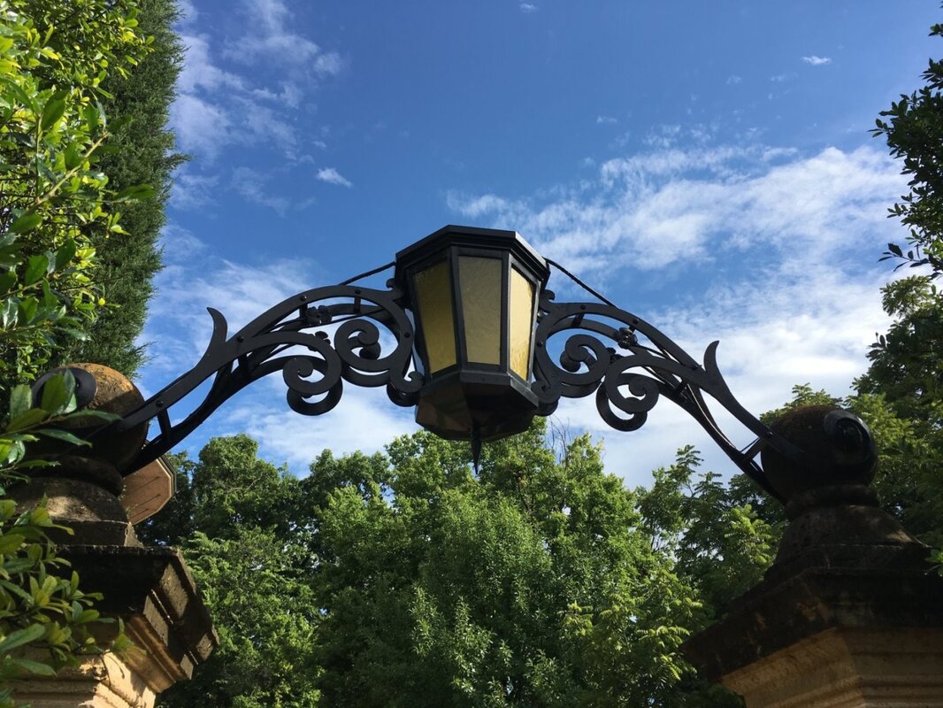
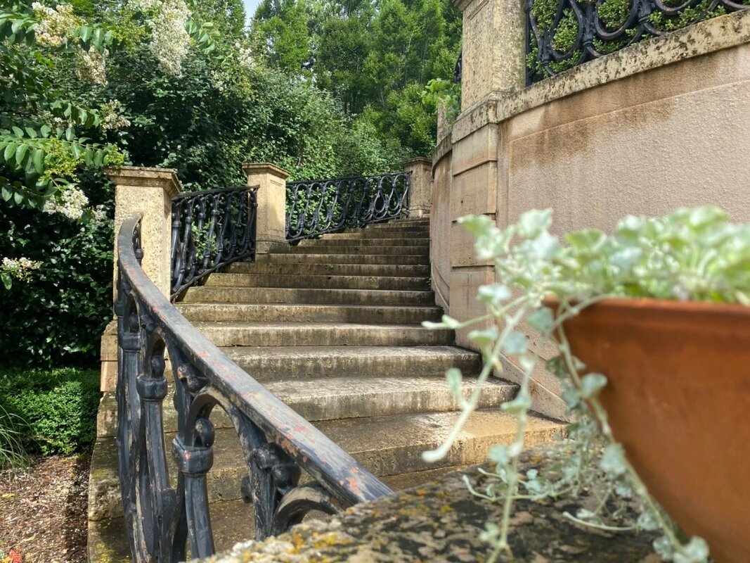
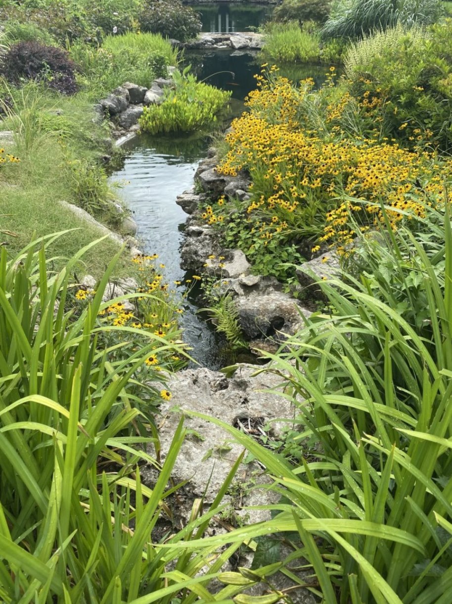
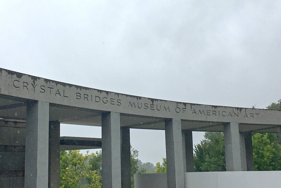
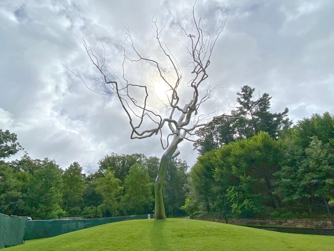
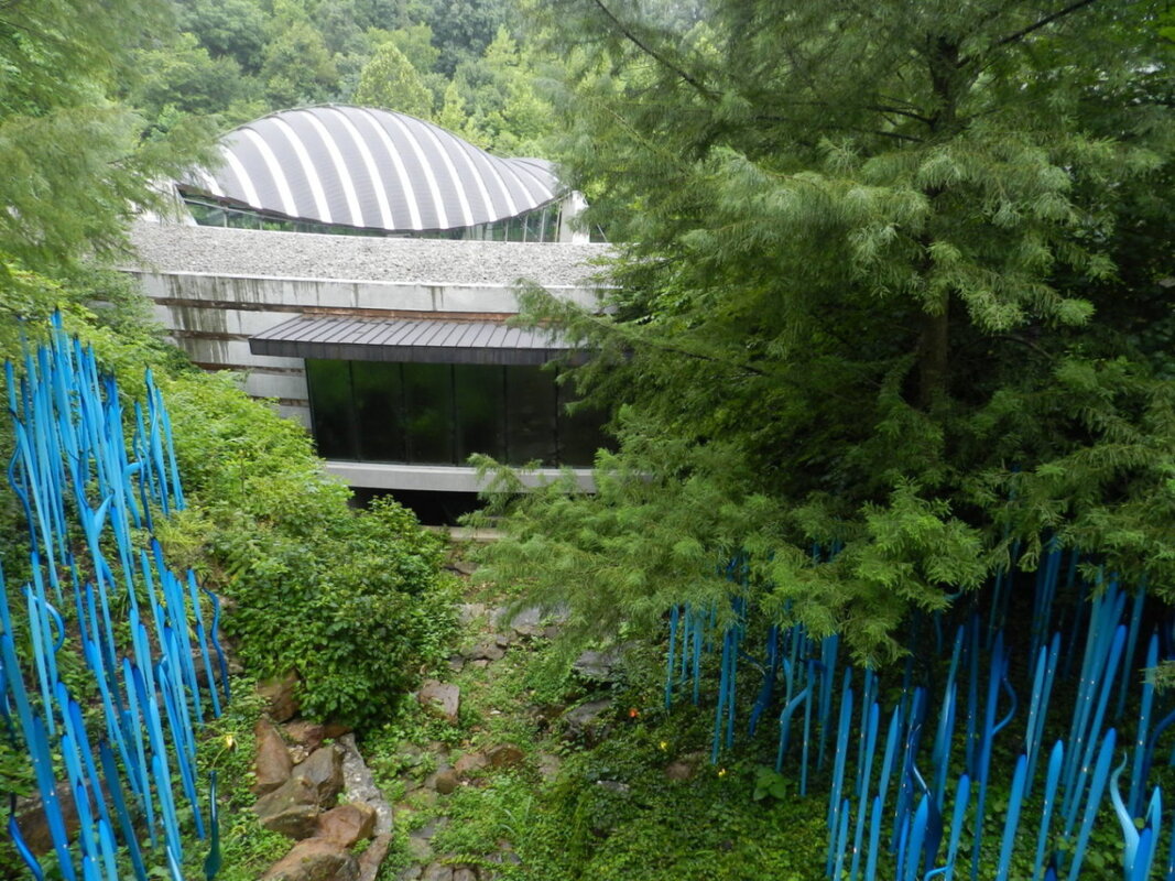
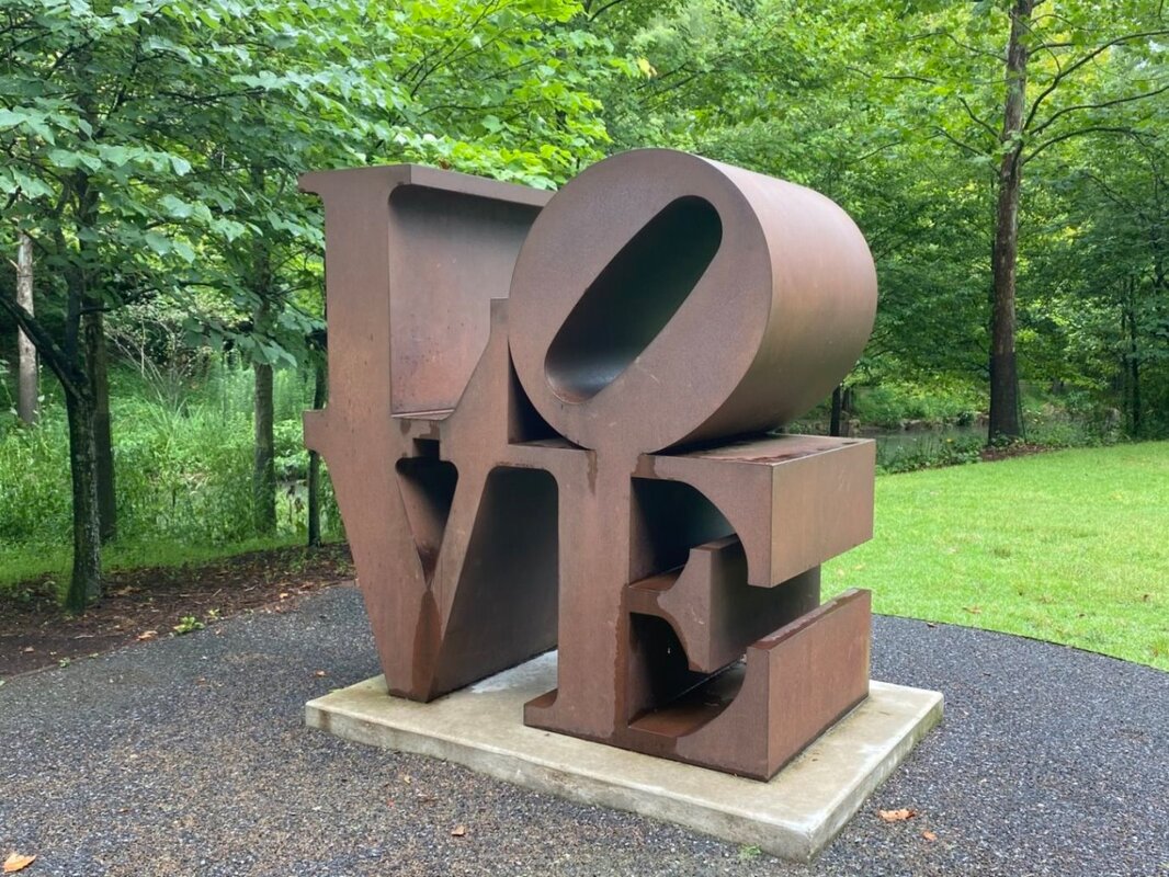
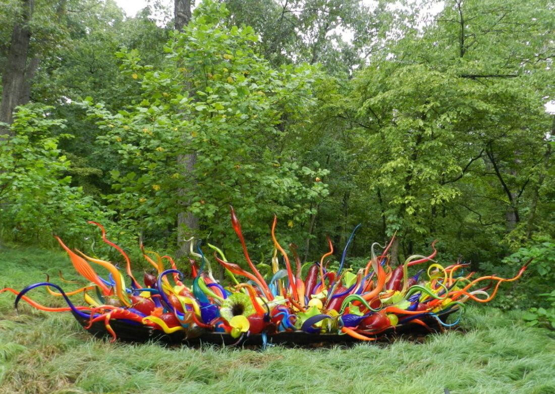
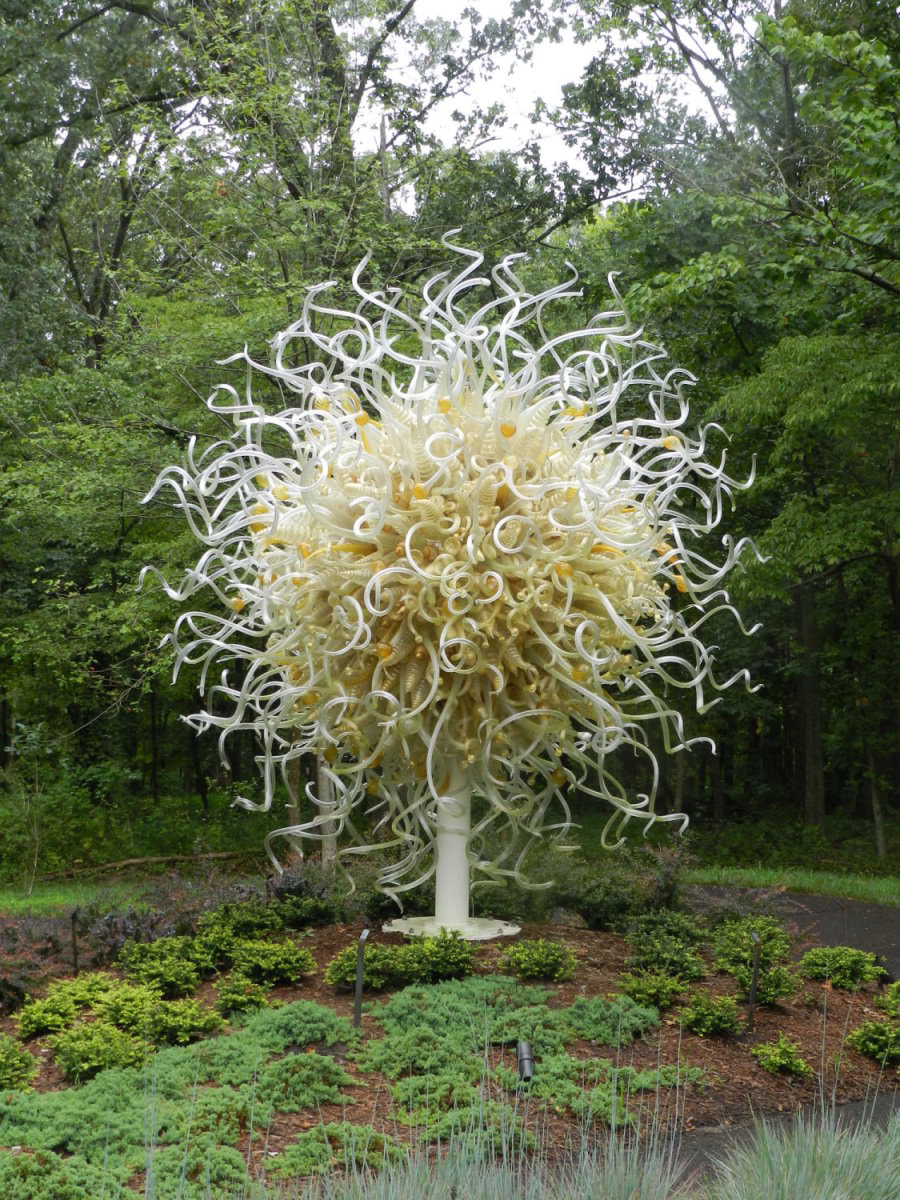
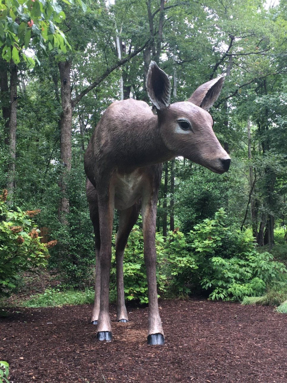
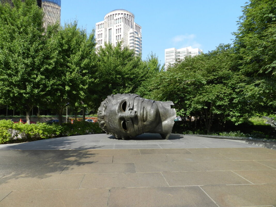
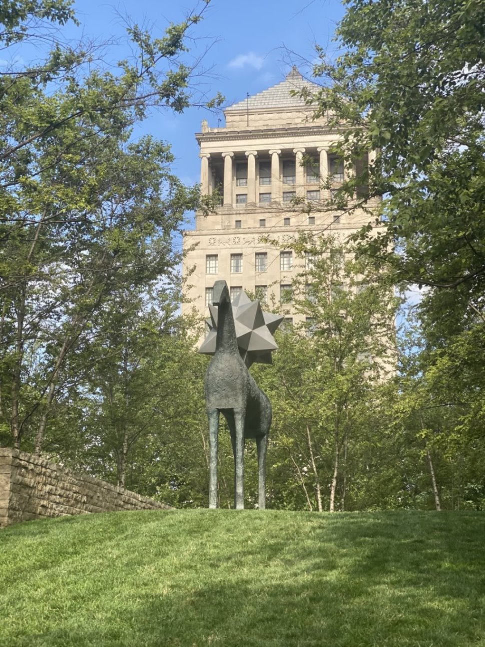
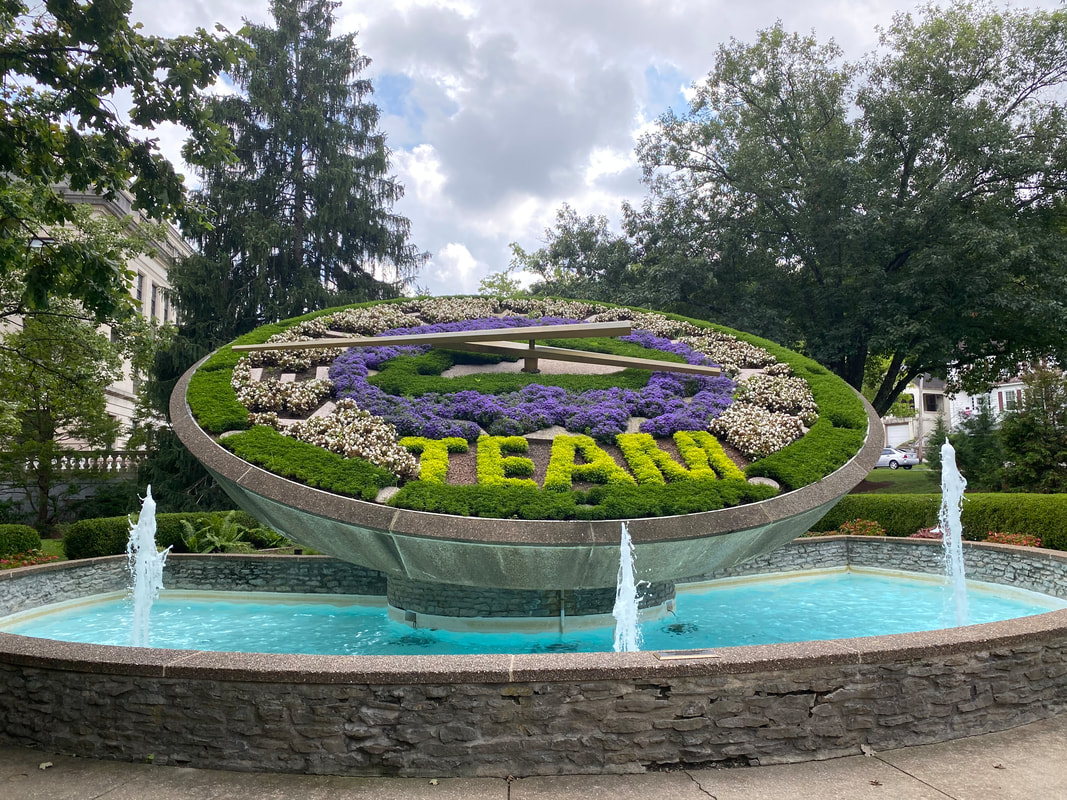
The architecture of these Churches and Cathedrals was amazing and speak to the grandeur of what humans can build when they are motivated by a higher calling (click on any photo to start the slideshow): Too Many Flowers to Even Take In Before I get to the details of the sights that we just saw during our February 2021 “Southern Trip” I still have a few blogs to write about the “Heartland” trip that we took in 2020; mostly blogs that aggregate several sites from a specific category into a single blog. The first of these being about all the beautiful flowers, fauna, and outdoor artwork that we saw during our travels. During our 30-day, 9376 mile, road trip to see more of America we visited numerous botanical gardens and other floral sites to include:
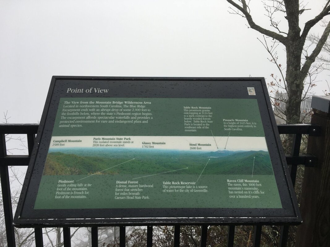
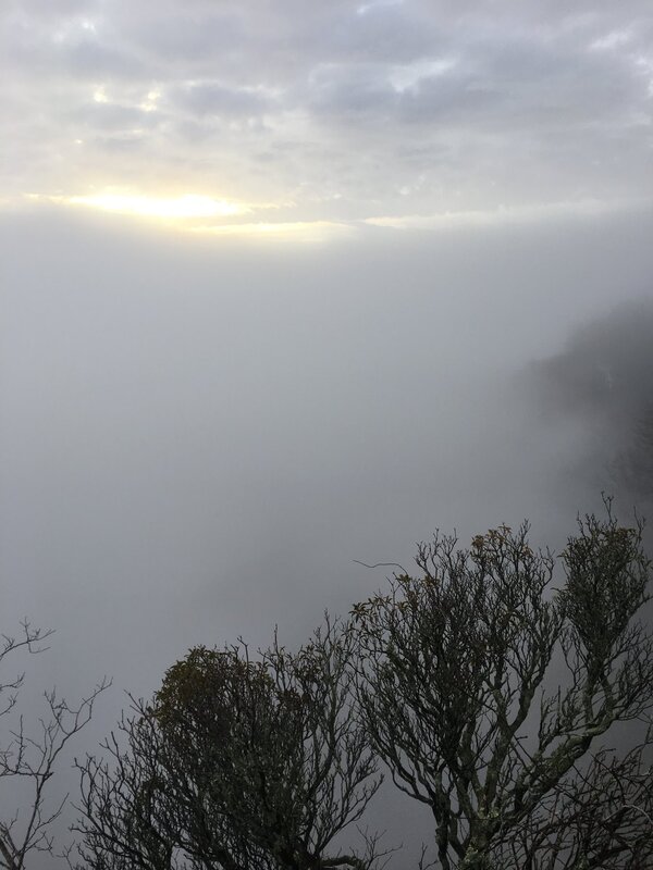
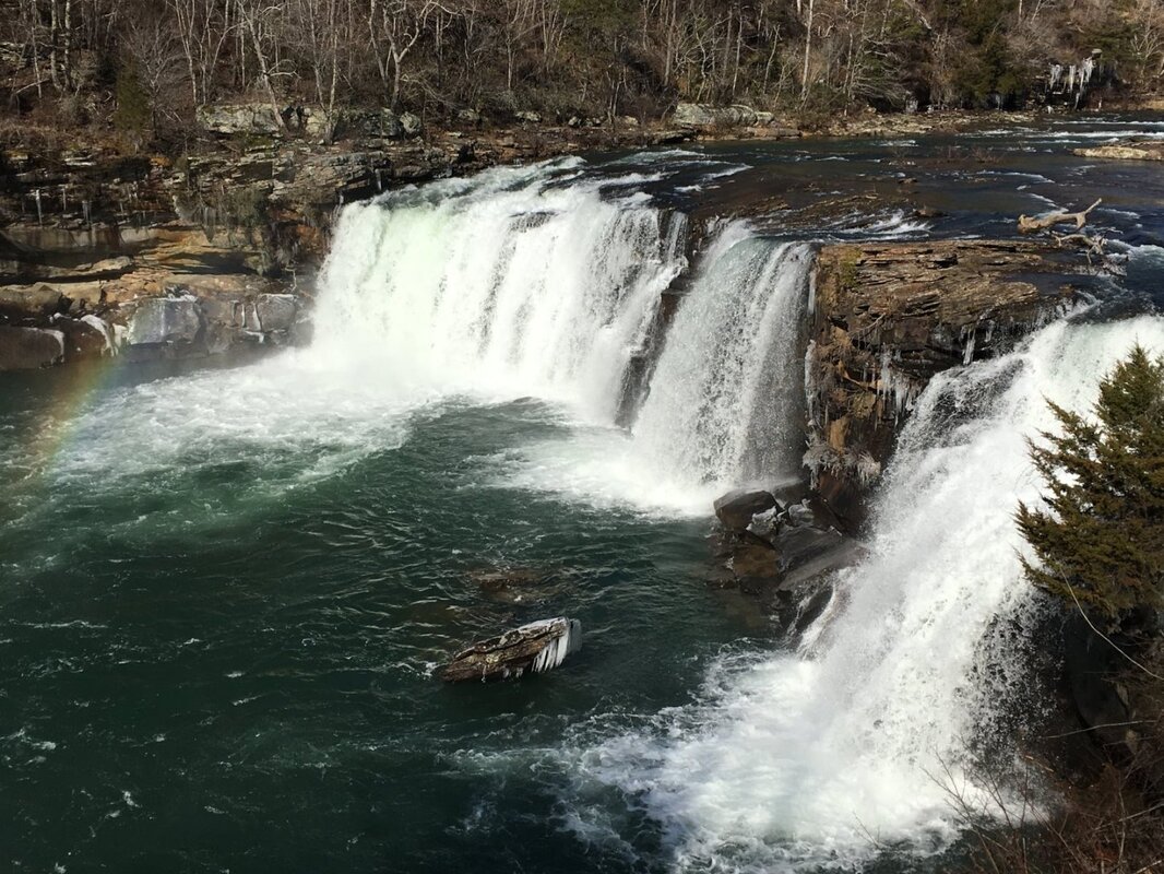
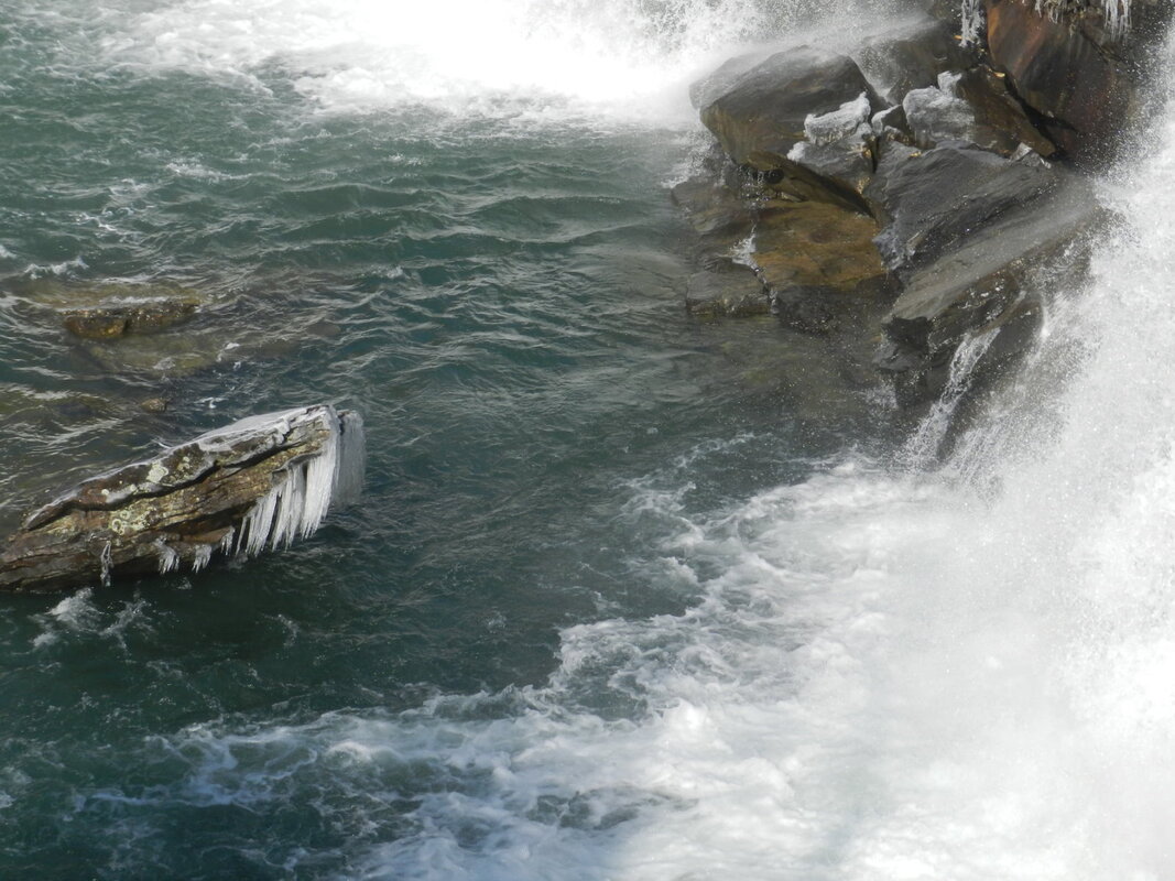
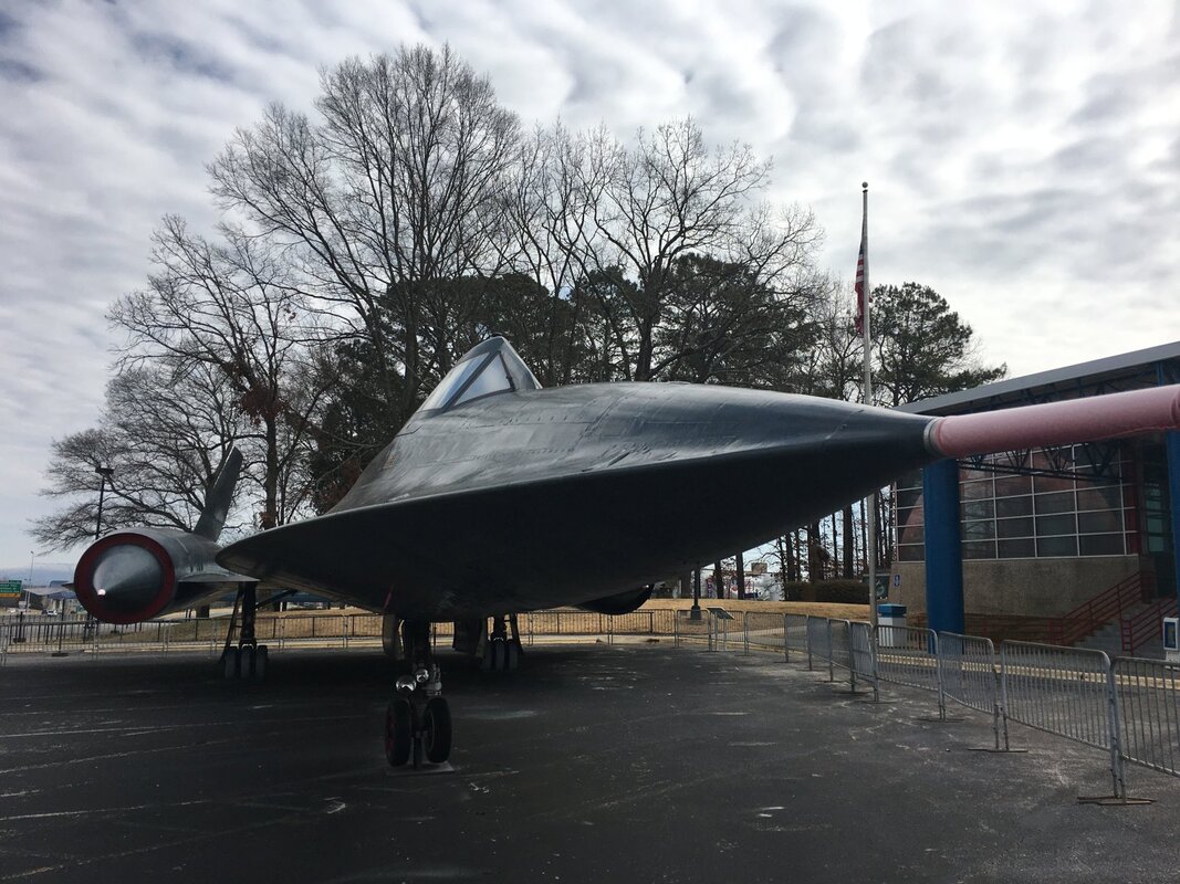
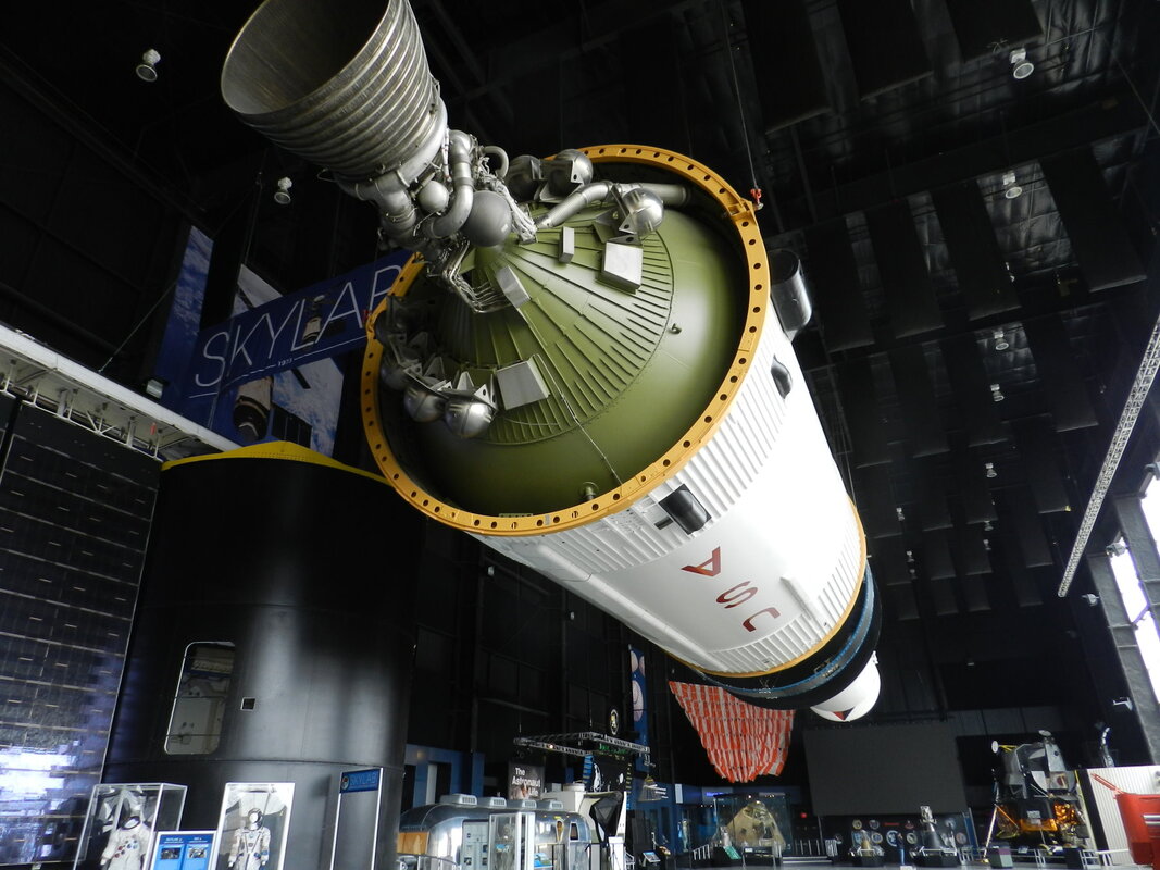
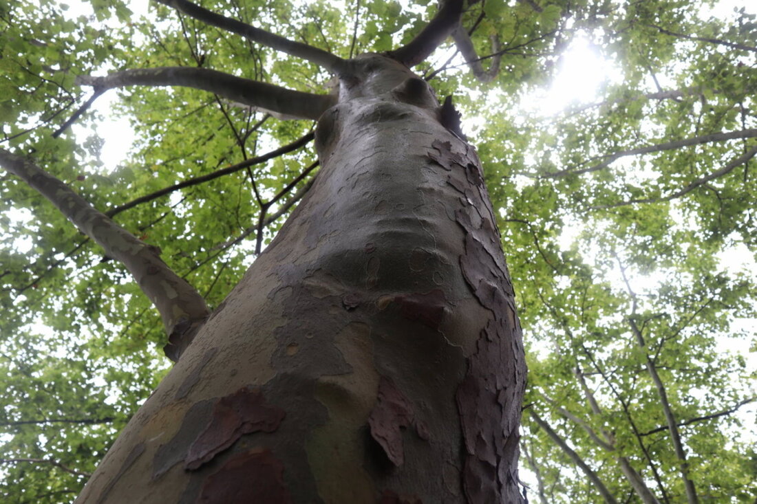
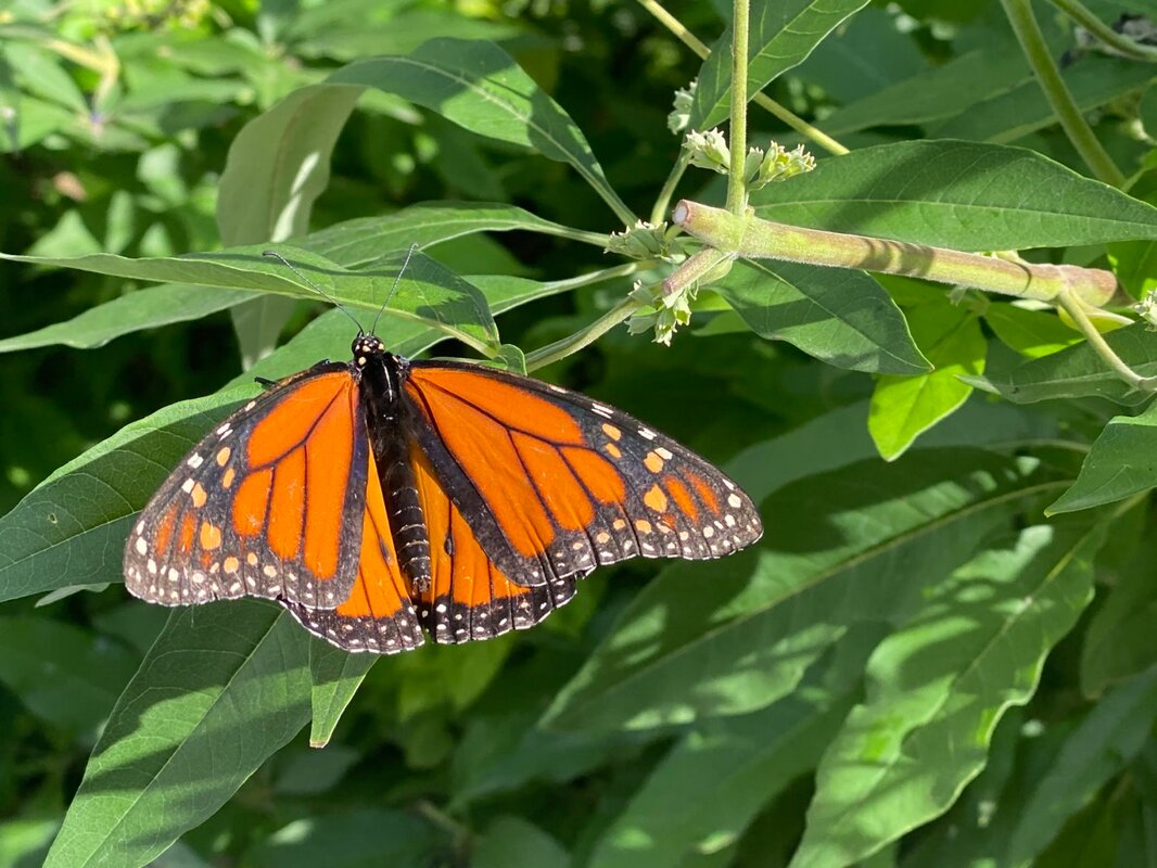
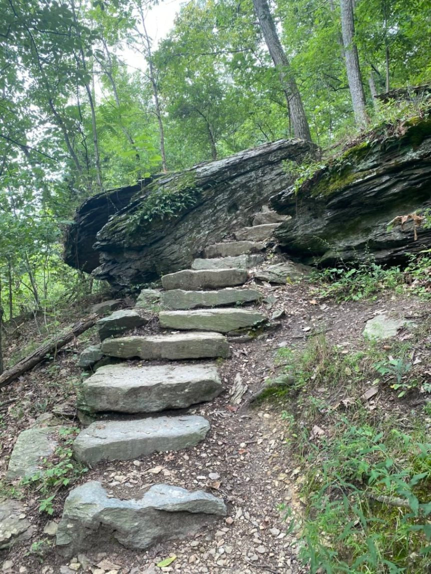
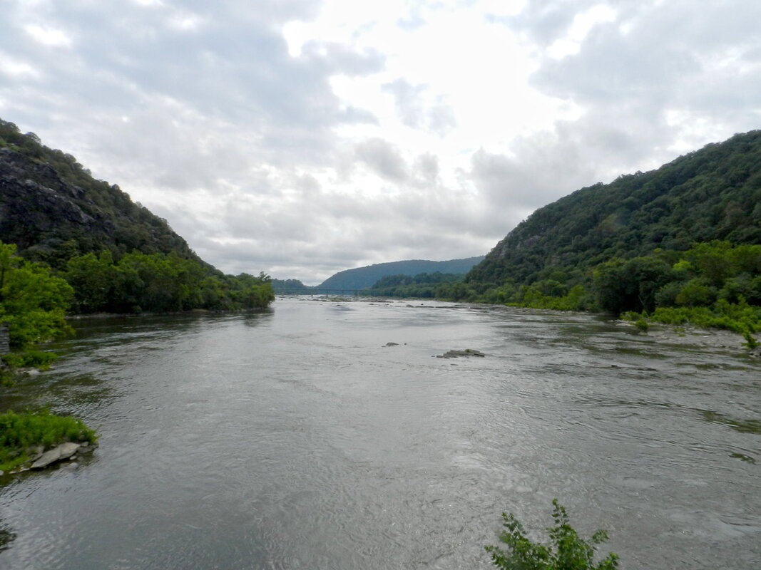
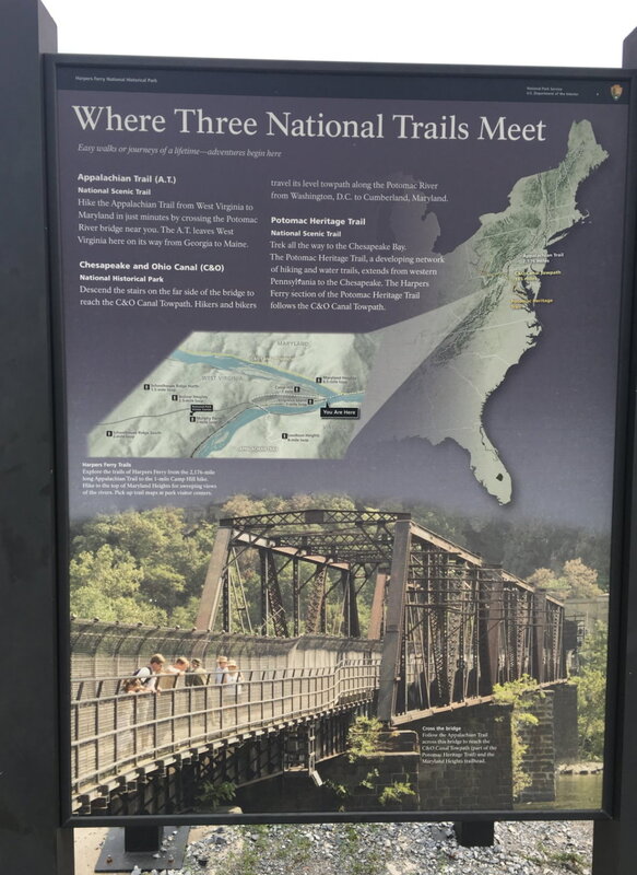
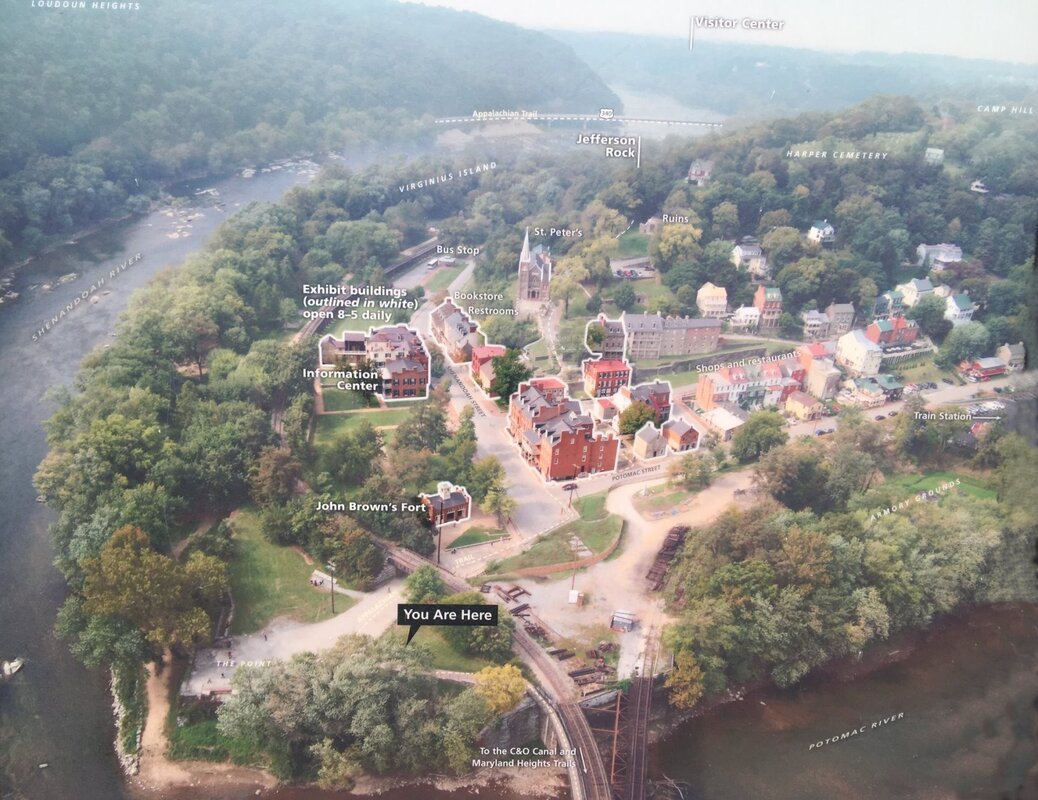
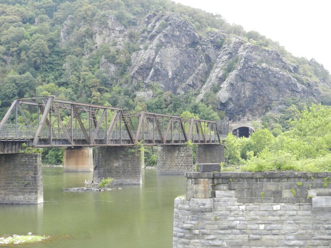
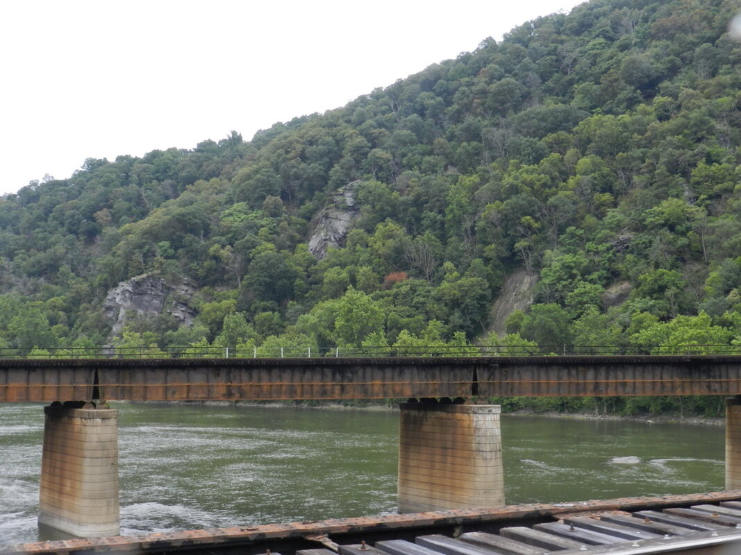
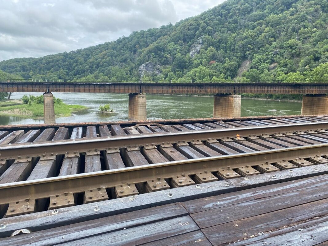
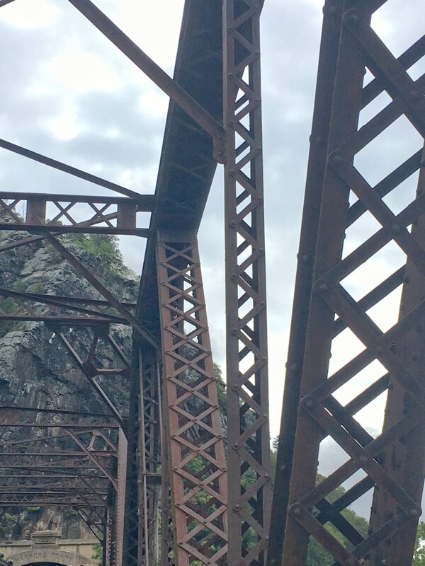
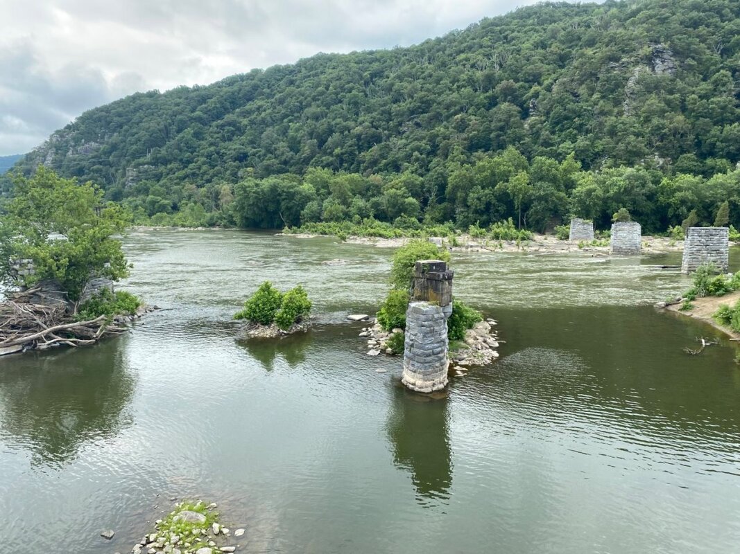
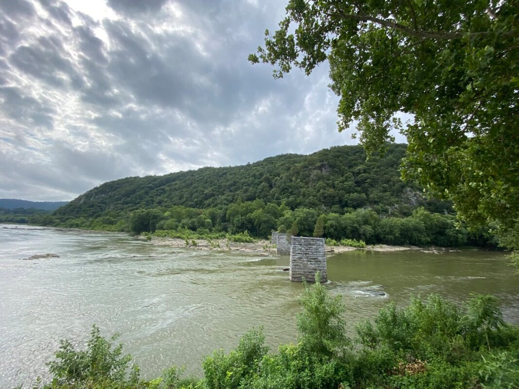
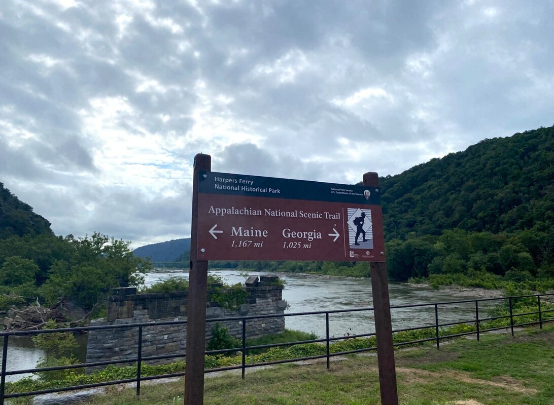
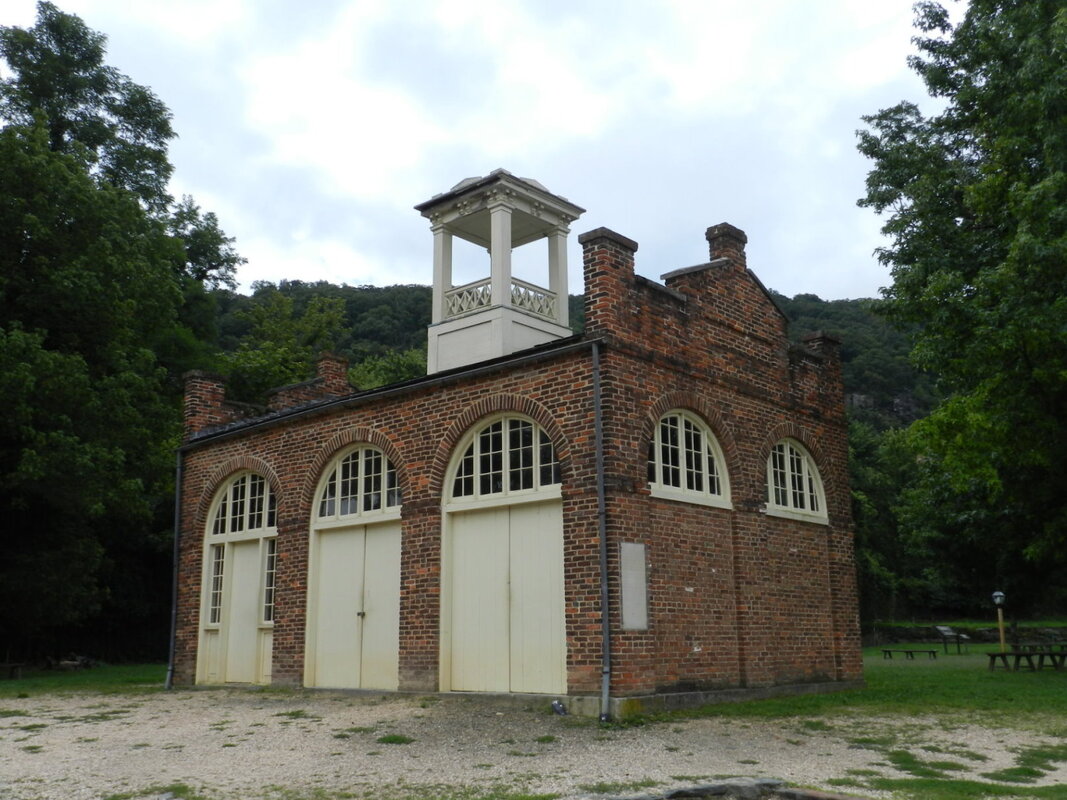
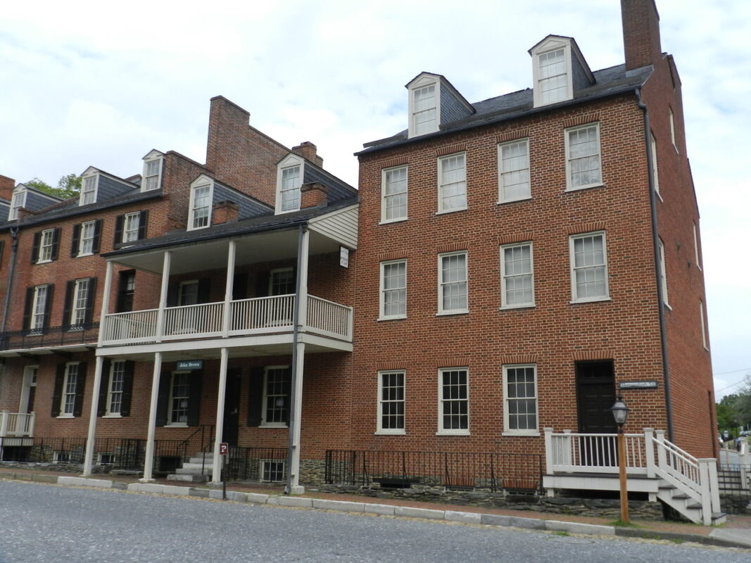
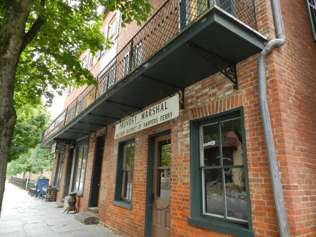
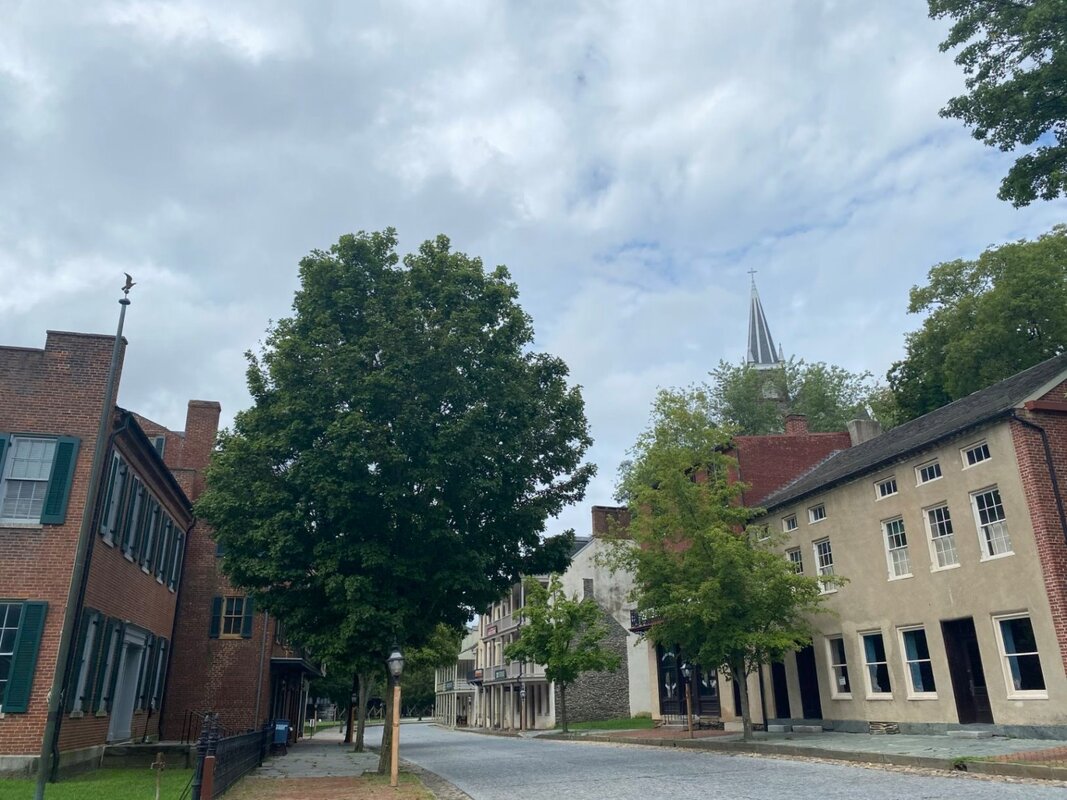
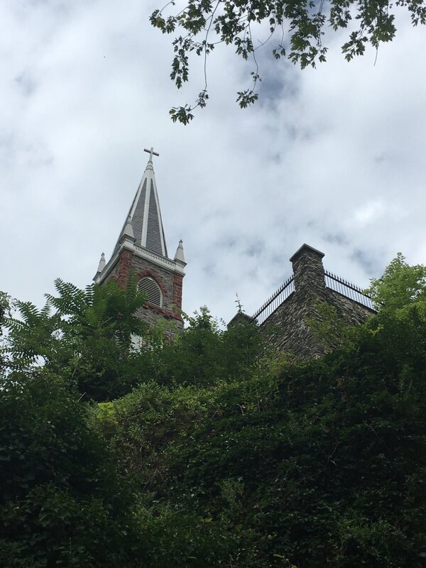
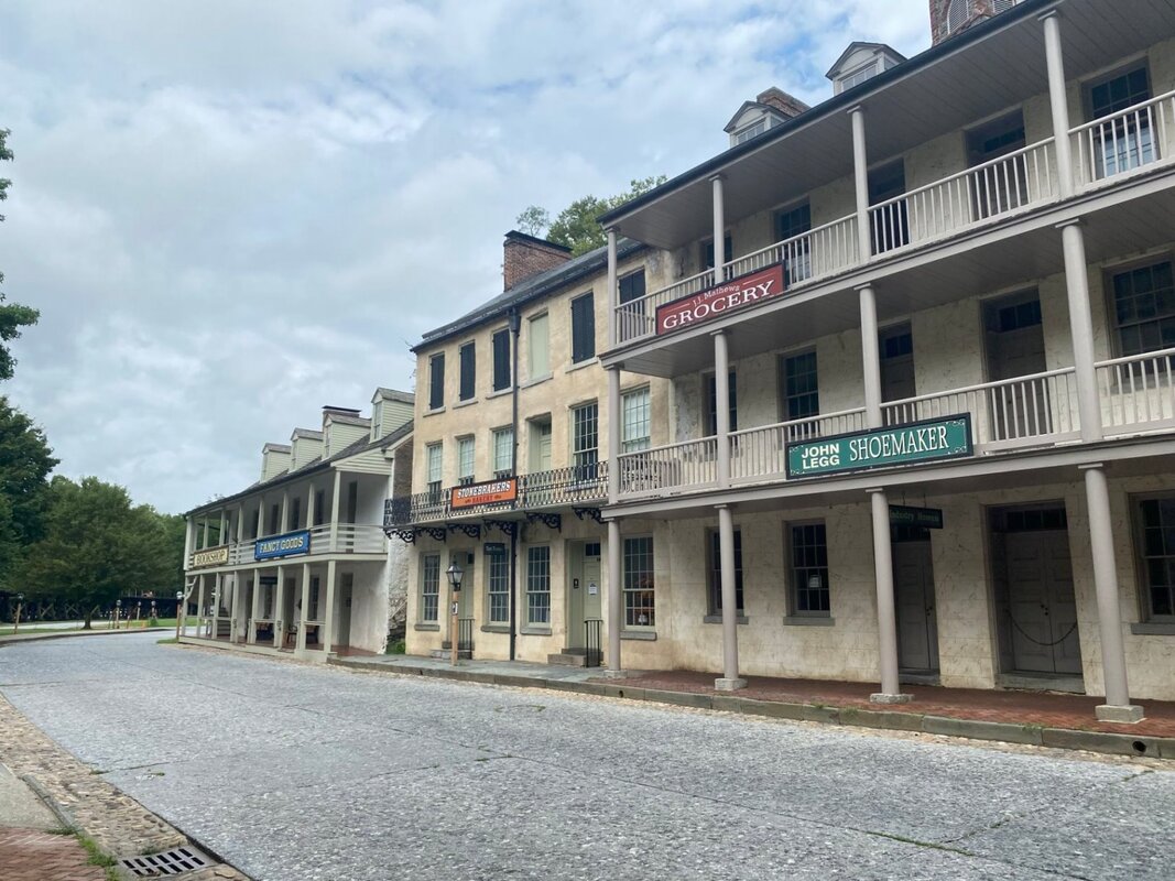
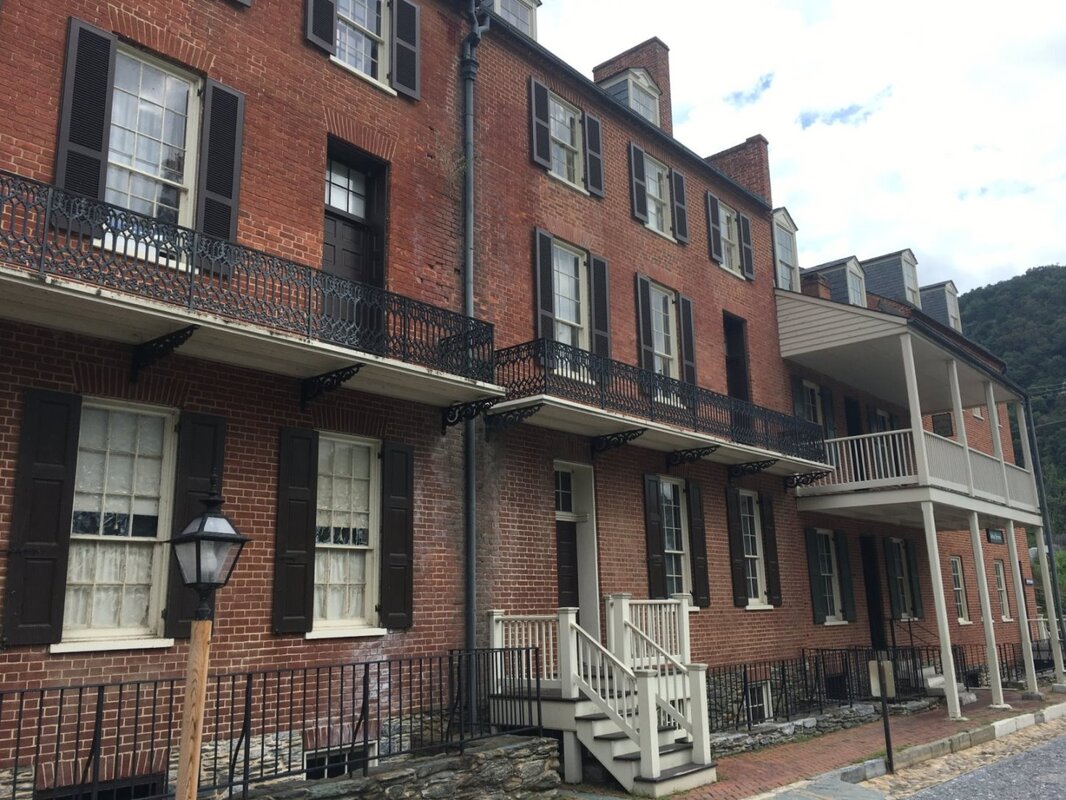
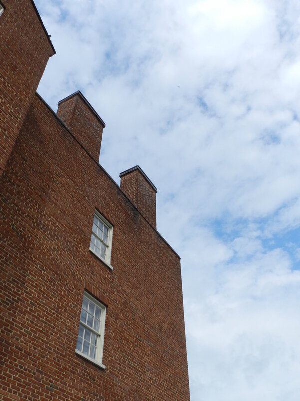
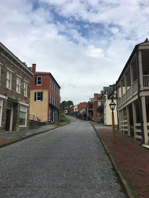
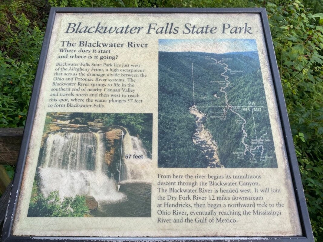
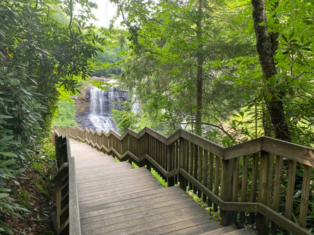
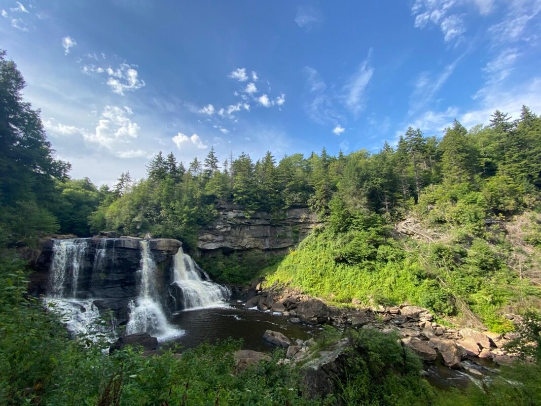
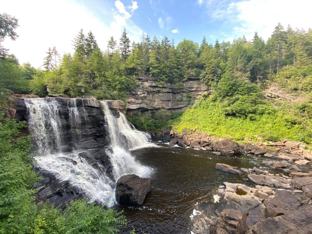
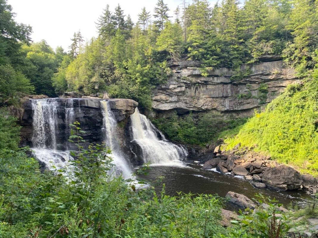
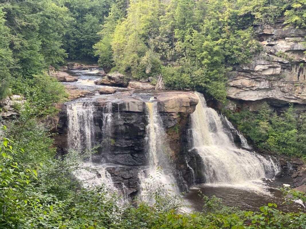
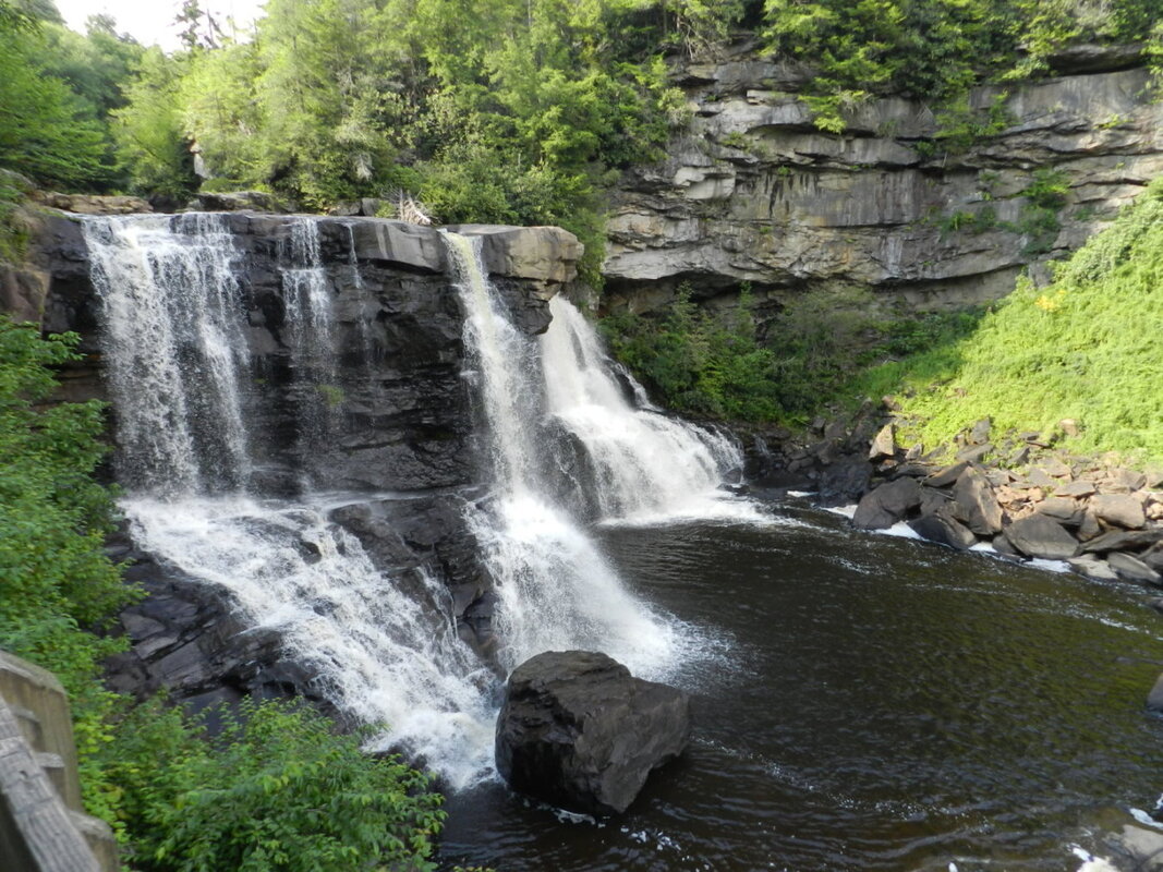
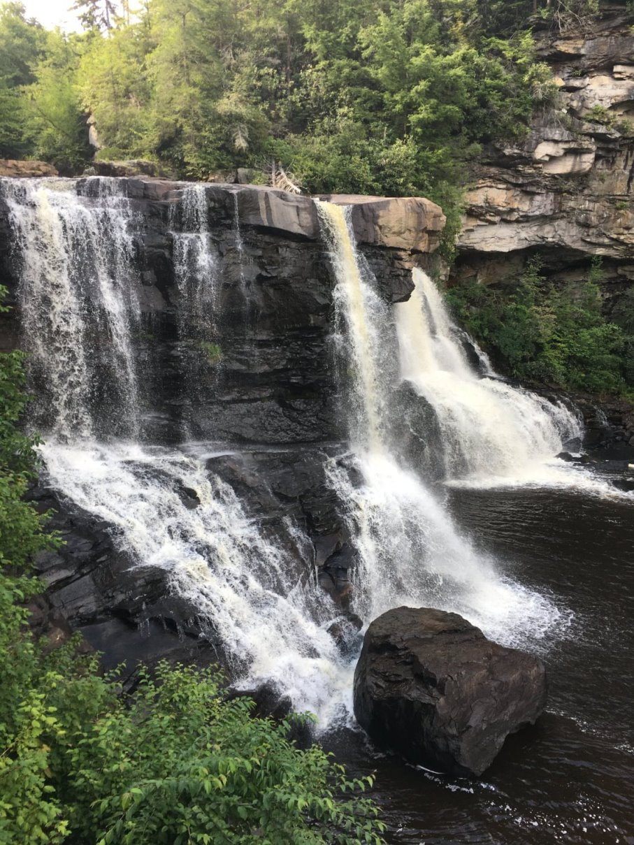
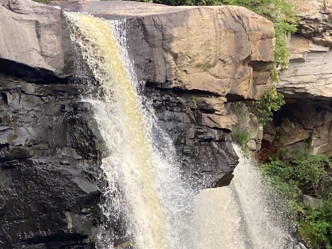
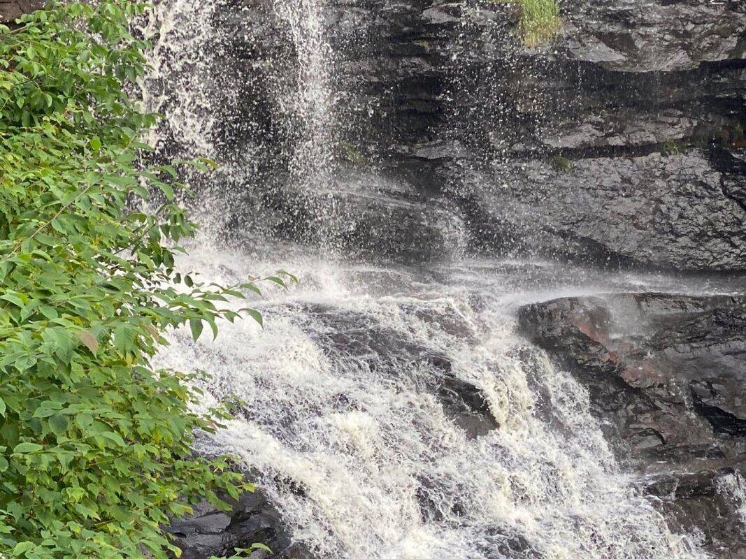
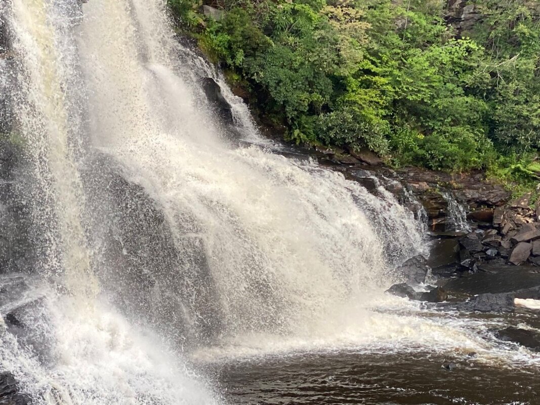
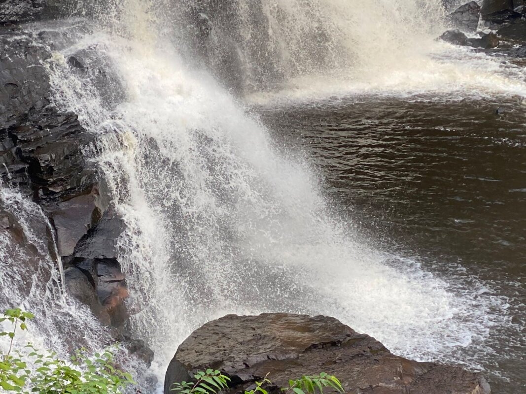
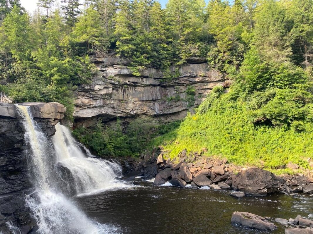
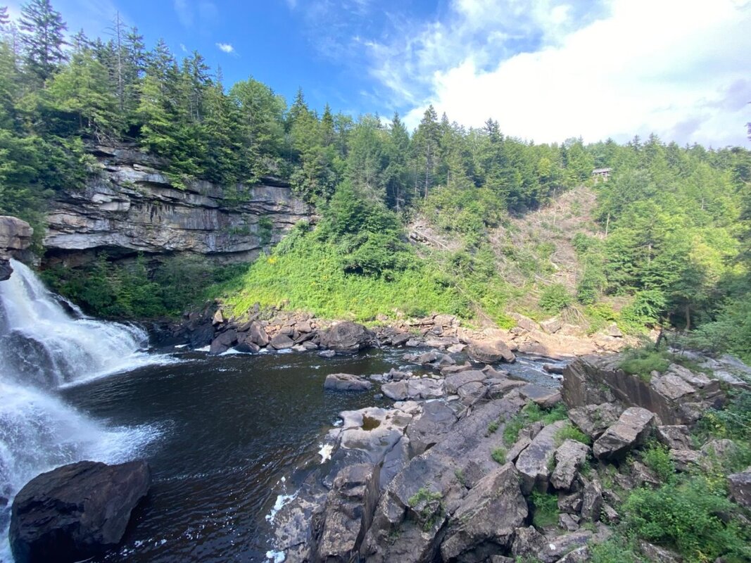
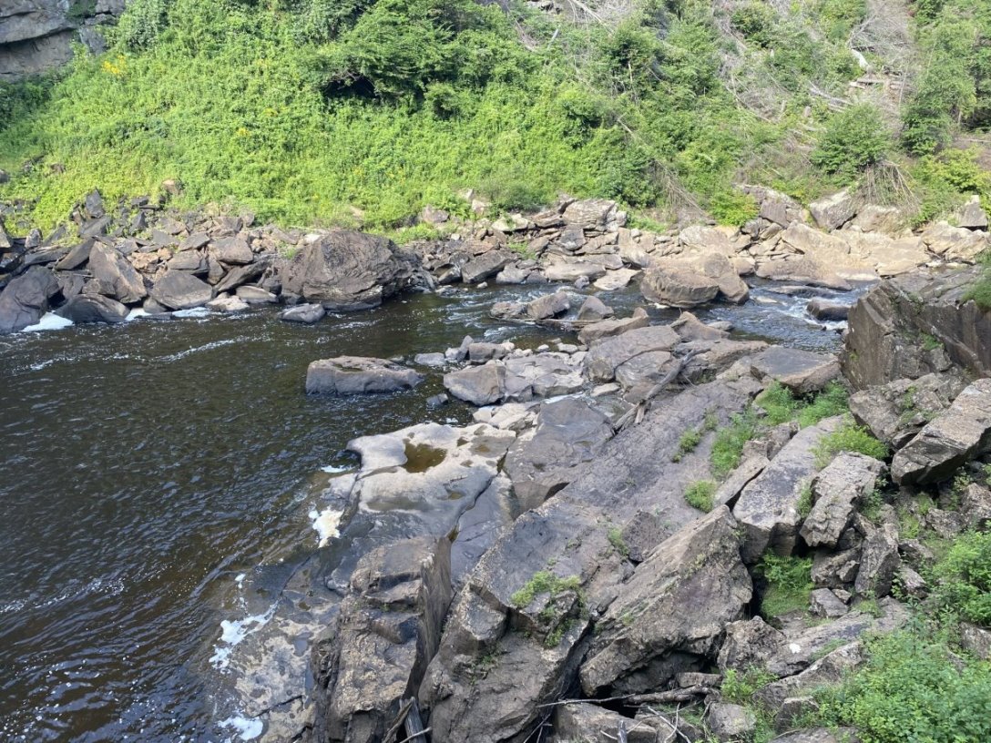
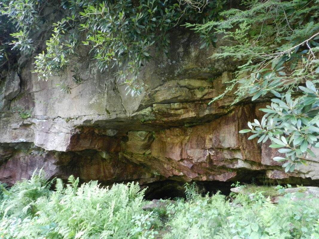
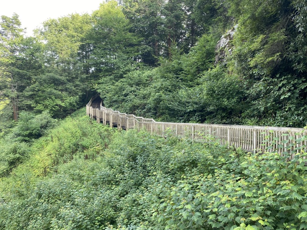
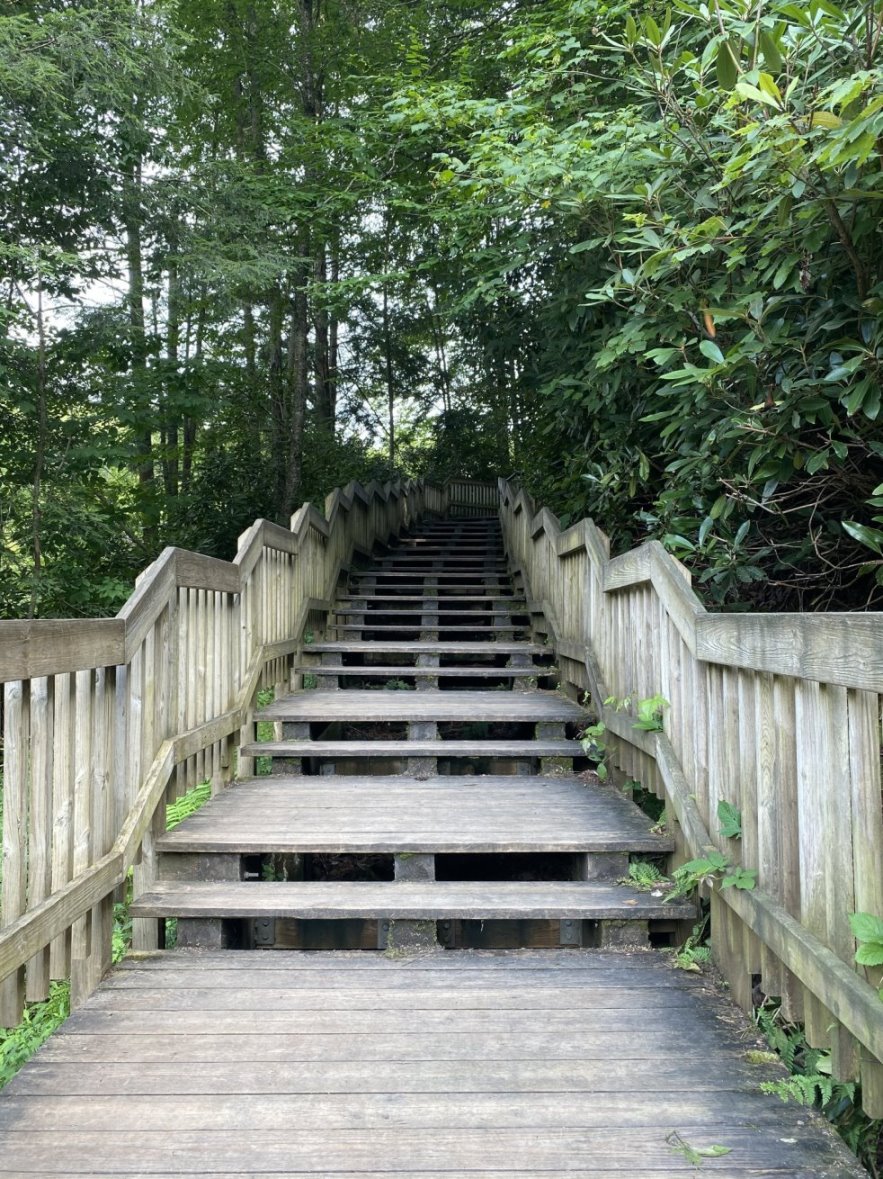
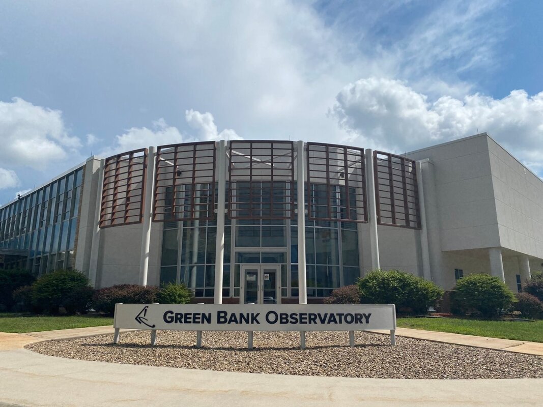
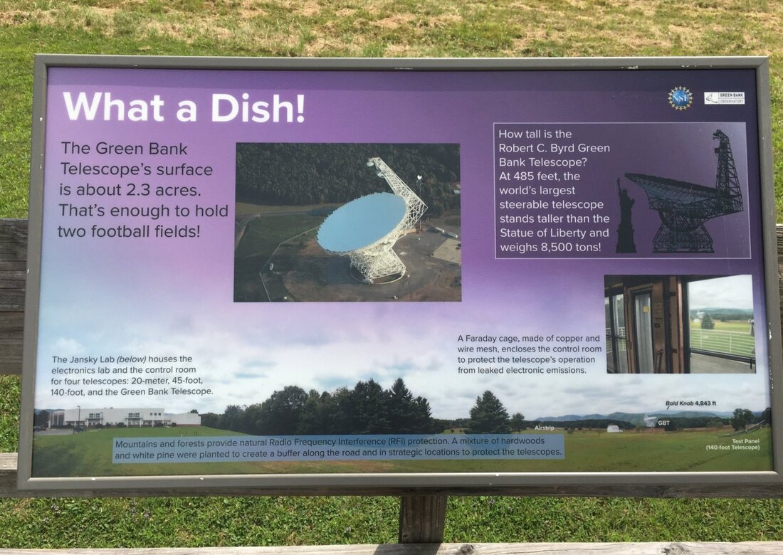
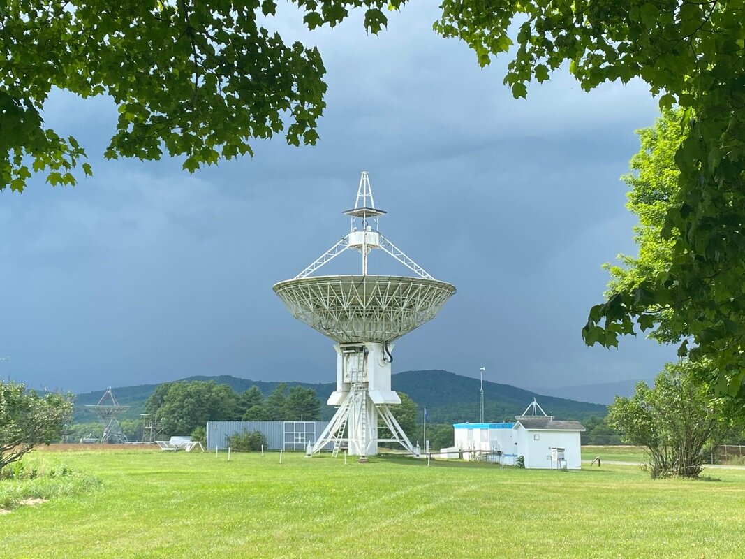
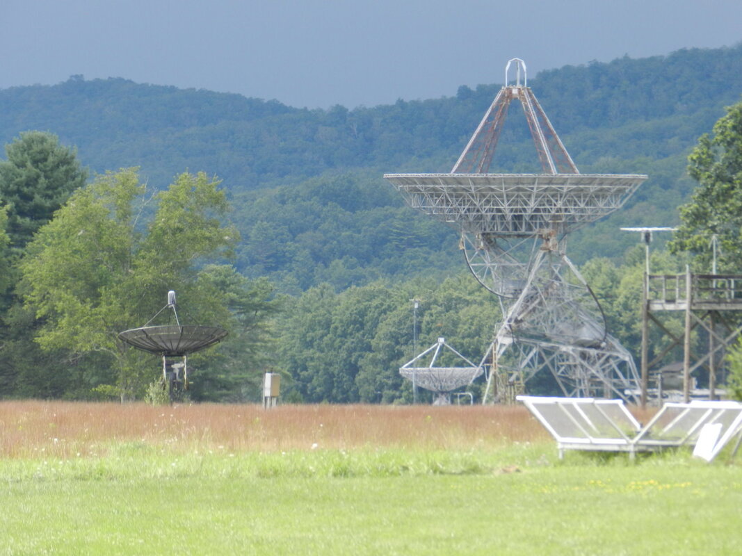
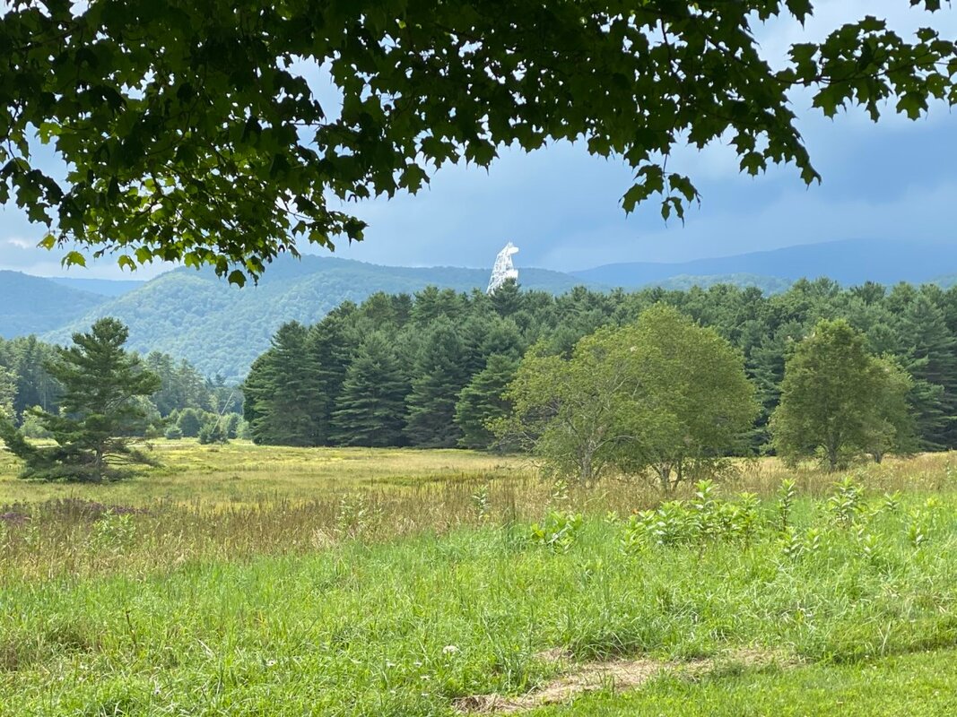
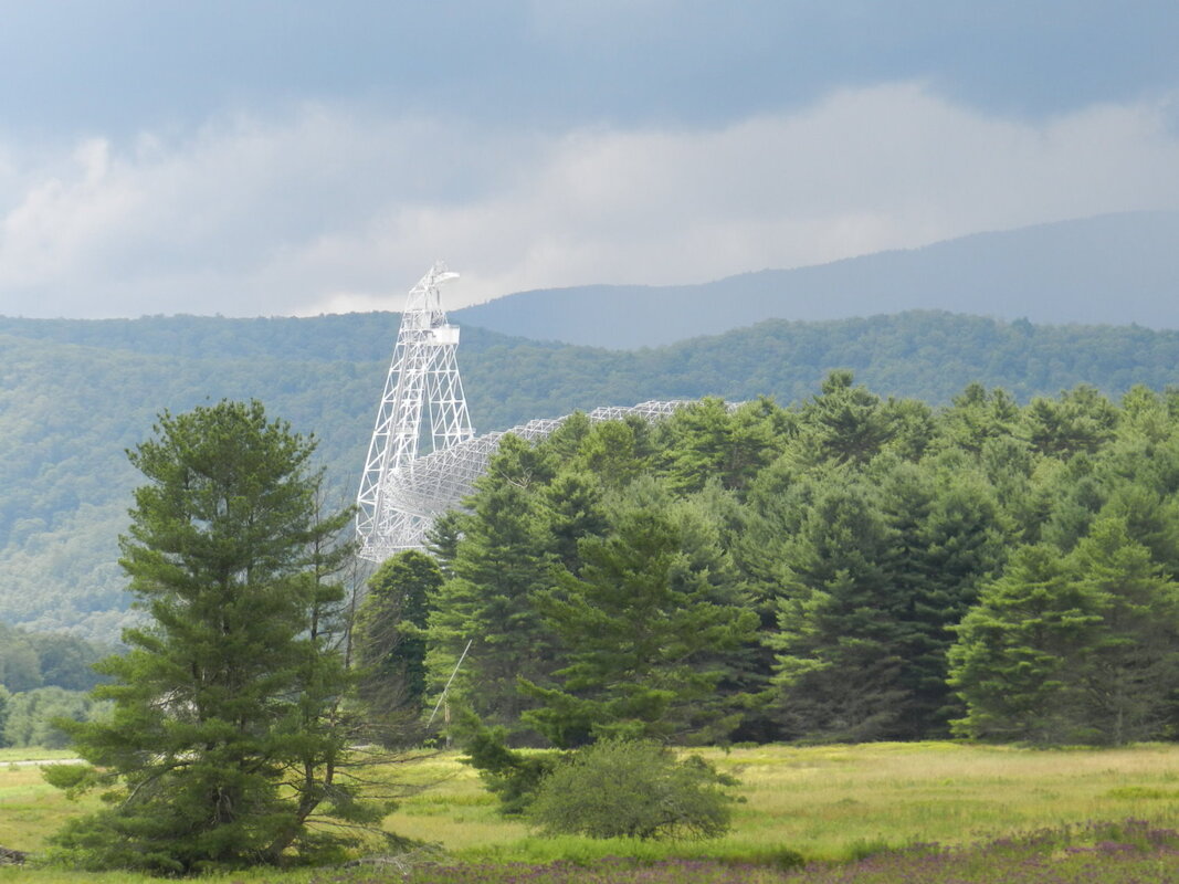
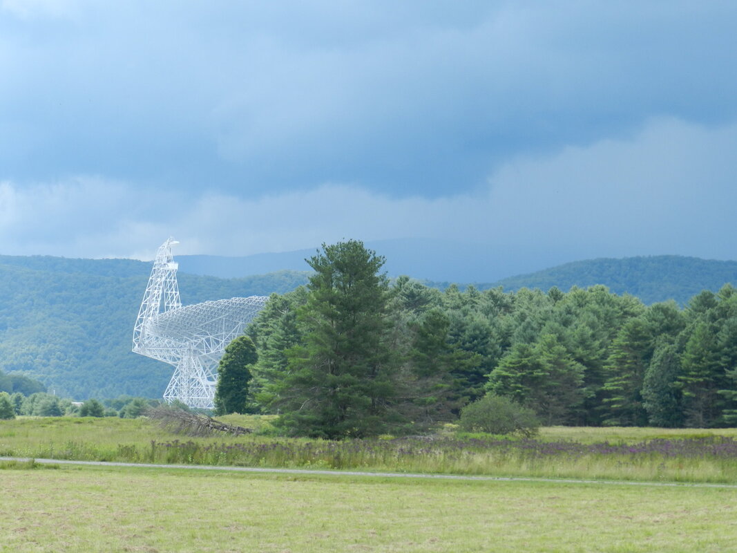
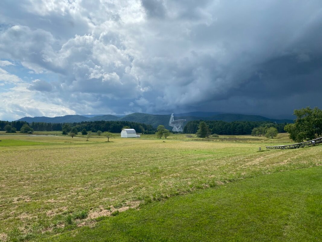
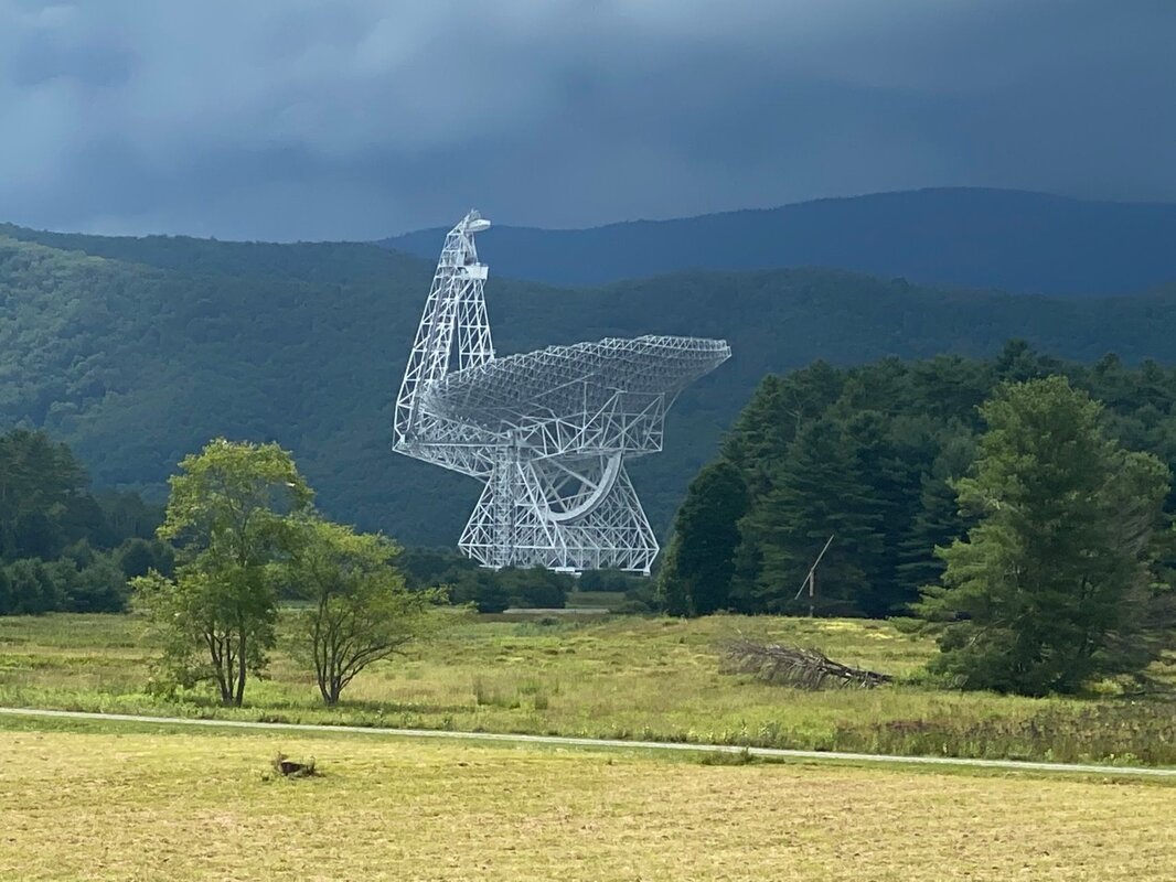
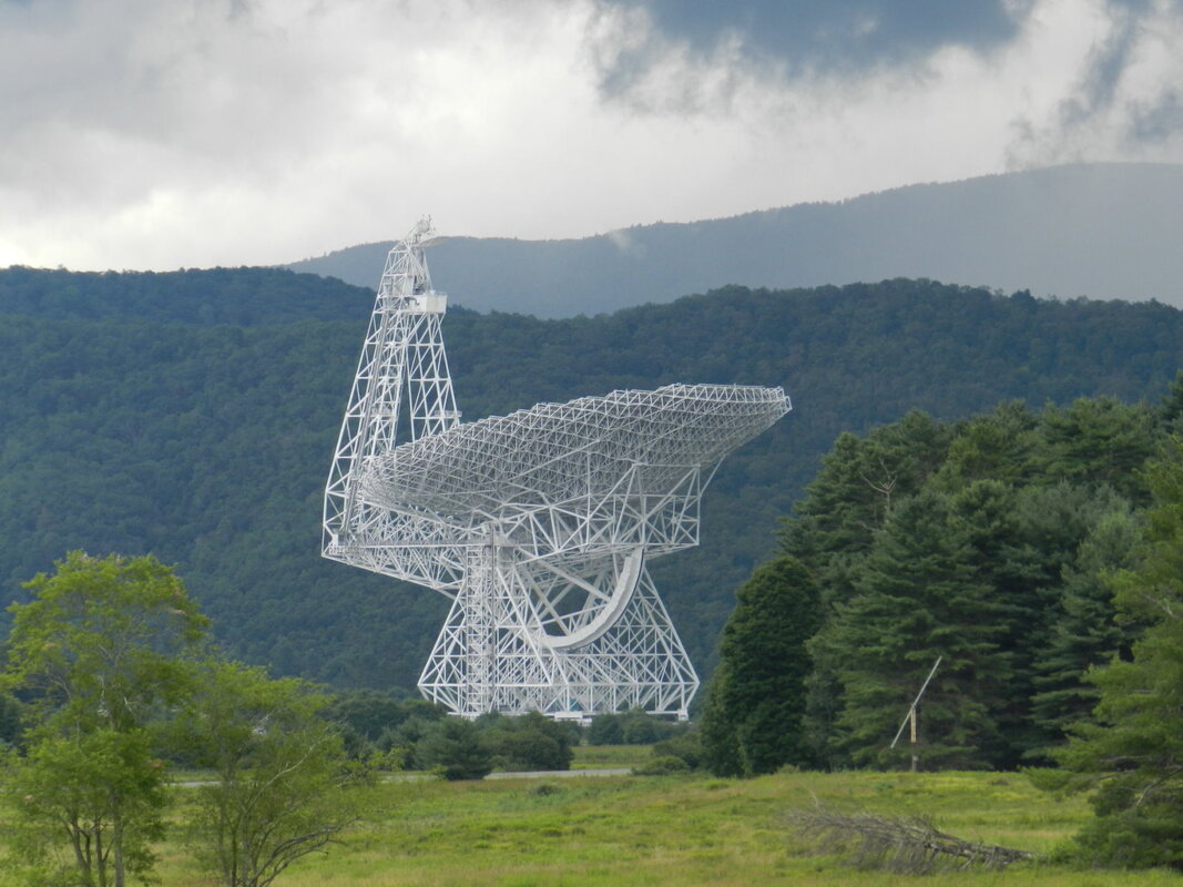
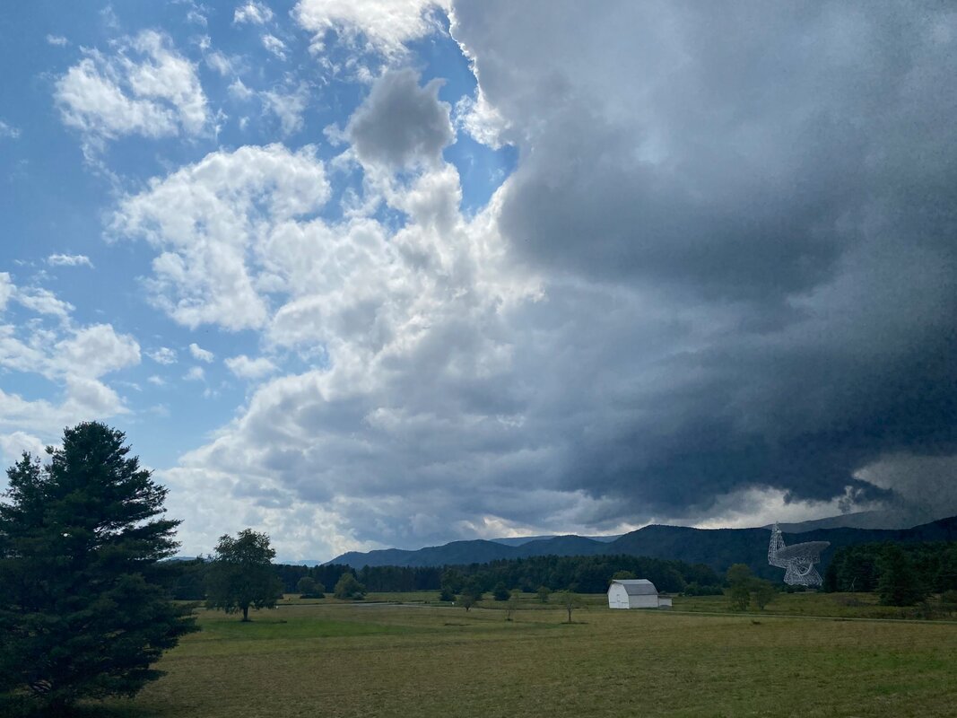
Since we took our road trip during July and August everything was in full bloom and the colors and scents were magnificent. So, if your travels take you near these sites, and you like flowers, you really should stop for a while and smell the roses (click on any photo to start the slideshow): Road Trip to the South On Sunday we completed a 10-day “road trip” to see another part of America; the Deep South. During our trip we drove 2,294 miles (an average of 229 miles per day) and visited 6 States. 1) North Carolina 2) South Carolina 3) Georgia 4) Alabama 5) Mississippi 6) Louisiana Here’s a high-level map of what our overall route looked like. 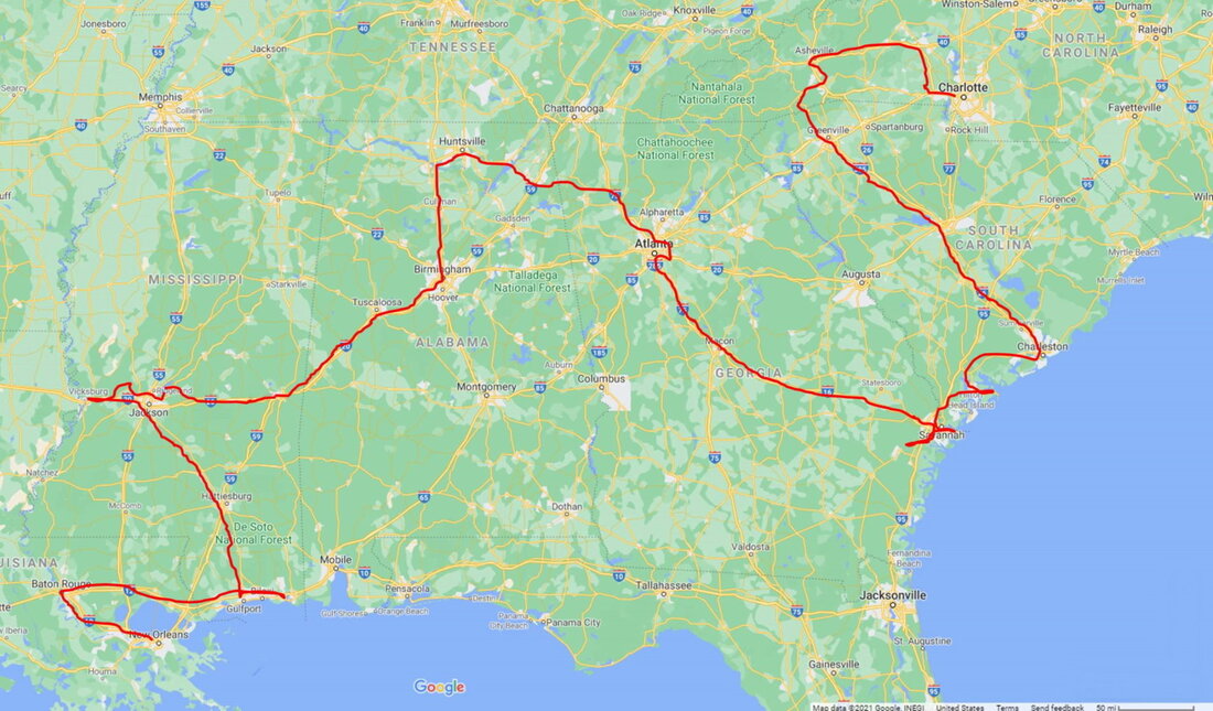 During our travels we saw lots of interesting and unique sights; museums, architectural masterpieces, natural wonders, aquariums and all sorts of other interesting places. Except for one day going to/from Vicksburg - even the weather was pretty good (for February). While traveling we took almost 4,500 photos - so I’ll post some of the photos of our adventures and write a few blogs highlighting the special sights that we saw once we've unpacked and settled back into the New England Winter. I’m sure that choosing which photos to use, and which places to blog about, will be the hardest part. A Pivotal Crossroads in the East On Day #30 of our 30-day, 9376 mile, road trip to see more of America we visited the Harpers Ferry National Historical Park in Harpers Ferry, West Virginia. 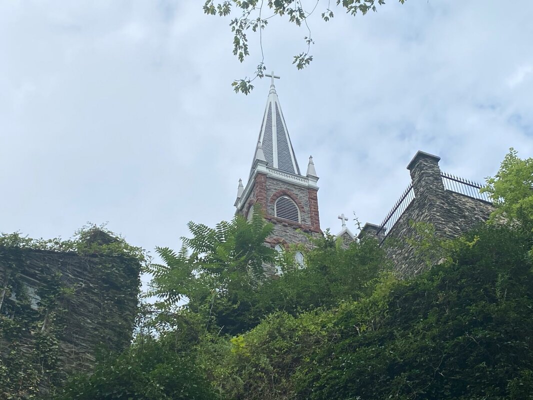 Harpers Ferry is the easternmost town of West Virginia, located in the lower Shenandoah Valley where the Potomac and Shenandoah rivers merge, and where West Virginia, Virginia, and Maryland meet. In fact, Harpers Ferry was actually part of Virginia until 20 June 1863 when West Virginia split from Virginia during the Civil War. Harpers Ferry was the northern-most point of Confederate controlled territory during the Civil War. Because of its critical location, and the Baltimore and Ohio Railroad (B & O Railroad) Potomac River crossing that had been built in 1837, the town played an important role both prior to and during the Civil War. John Brown’s Raid on Harpers Ferry – October 1859 In October 1859, the U.S. military arsenal at Harpers Ferry was the target of an assault by an armed band of abolitionists led by John Brown when Brown and his band overran the federal arsenal. Some of his men rounded up a handful of hostages, including a few slaves. The raid was intended to be the first stage in an elaborate plan to establish an independent stronghold of freed slaves in the mountains of Maryland and Virginia. Word of the raid spread and by the following day Brown and his men were surrounded. Then, on October 18, a company of U.S. Marines, led by Colonel Robert E. Lee and Lieutenant J. E. B. Stuart, overran Brown and his followers. Brown was captured and wounded during the raid while 10 of his men were killed, including two of his sons. Brown was later convicted of treason and hanged, but the raid increased the mounting tension between Northern and Southern states before the Civil War. (source History.com) Battle of Harpers Ferry – 13 to 15 September 1862 As his Army of Northern Virginia advanced into Maryland in early September 1862, General Robert E. Lee made plans to capture the vital Union garrison at Harpers Ferry in the rear of his invading force. Although Maj. Gen. George McClellan's Army of the Potomac was in pursuit, Lee divided his army, sending three columns under Gen. Thomas “Stonewall” Jackson to Harpers Ferry while the rest of the army marched towards Hagerstown, Maryland. Surrounded on three sides by steep heights, the terrain surrounding the town made it nearly impossible to defend, a problem made worse by the Union commander, Colonel Dixon S. Miles, who lacked experience leading troops. For three days, Jackson placed artillery on the heights above Harpers Ferry, and on the morning of September 15 ordered an artillery barrage that bombarded the town, followed by an infantry assault by Maj. Gen. A. P. Hill's division. As surrender was debated, Miles was struck by a shell that shattered his left leg, a wound that proved fatal. Jackson took possession of Harpers Ferry before joining the rest of Lee’s army at Sharpsburg, leaving Hill’s division to process the parole of 12,000 prisoners. (source American Battlefield Trust) Jackson had won a great victory at minor expense. The Confederate Army sustained 286 casualties (39 killed, 247 wounded), mostly from the fighting on Maryland Heights, while the Union Army sustained 12,636 (44 killed, 173 wounded, 12,419 captured). The Union garrison also surrendered 13,000 small arms, 200 wagons, and 73 artillery pieces. It was the largest surrender of Federal forces during the Civil War. The list of captured artillery pieces included one 50-pounder Parrott rifle (spiked), six M1841 24-pounder howitzers, four 20-pounder Parrott rifles, eight M1841 12-pounder field guns (2 spiked), four 12-pounder Napoleons (2 spiked), six M1841 6-pounder field guns, two 10-pounder Dahlgren guns (spiked), 10 3-inch Ordnance rifles, and six 3-inch James rifles. (source Wikipedia) The history of Harpers Ferry makes it a very interesting location to visit – especially since significant efforts have been made to keep the town as is was in the 1860’s (click on any photo to start the slideshow): If you want to learn more about the Harpers Ferry National Historical Park here are a few links to check out: https://www.nps.gov/hafe/index.htm https://www.nps.gov/articles/john-browns-raid.htm https://www.nps.gov/hafe/learn/historyculture/1862-battle-of-harpers-ferry.htm https://www.harpersferryhistory.org/ https://www.battlefields.org/learn/topics/john-browns-harpers-ferry-raid https://www.battlefields.org/learn/civil-war/battles/harpers-ferry https://www.travelawaits.com/2555192/weekend-in-harpers-ferry-west-virginia/ In addition to its role in the Civil War era Harpers Ferry has several other distinctive traits to include the Lewis & Clark Expedition of 1803, the Chesapeake and Ohio Canal starting in 1831, the Appalachian Trail and the Potomac Heritage Trail: Lewis and Clark Expedition: In mid-March of 1803, about two weeks after Congress authorized the expedition, twenty-eight-year-old Meriwether Lewis left Washington for Harpers Ferry, where he requisitioned some rifles and the necessary appurtenances, and other supplies, including pipe-tomahawks and knives. He also supervised the construction of the iron framework for a collapsible thirty-six-foot boat, intended for a hull of animal skins, which he and Thomas Jefferson had designed. He deferentially referred to as "the Leather boat," "the iron boat" or, in a more scientific tone, "the Experiment." Except for that one unusual challenge for the armory's craftsmen, Lewis's month long stay was comparatively unremarkable, partly because his objectives were still shrouded in secrecy and disinformation. (source Discovering Lewis & Clark) https://www.nps.gov/hafe/learn/historyculture/meriweather-lewis-at-harpers-ferry.htm http://www.lewis-clark.org/article/2964 C&O Canal: The Chesapeake and Ohio Canal operated from 1831 until 1924 along the Potomac River from Washington, D.C., to Cumberland, Maryland. The canal's principal cargo was coal from the Allegheny Mountains. Construction on the 184.5-mile canal began in 1828 and ended in 1850 with the completion of a 50-mile stretch to Cumberland. Rising and falling over an elevation change of 605 feet, it required the construction of 74 canal locks, 11 aqueducts to cross major streams, more than 240 culverts to cross smaller streams, and the 3,118 foot Paw Paw Tunnel. The canal way is now maintained as the Chesapeake and Ohio Canal National Historical Park, with a trail that follows the old towpath. (source Stoney Creek West Virginia) https://www.nps.gov/choh/index.htm https://www.canaltrust.org/plan/co-canal-towpath/ Appalachian Trail: Harpers Ferry offers a fantastic introduction to the Appalachian Trail in one of the most scenic and historic towns anywhere in America. Situated at the confluence of the Potomac and Shenandoah Rivers, the town and Harpers Ferry National Historical Park are most famous for John Brown’s Raid, yet the area also has fascinating Civil War, African American and Lewis & Clark Expedition history. The village is also home to the Appalachian Trail Conservancy Headquarters and Visitor Center, one of the most photographed spots along the entire Trail. (source Appalachian Trail Conservancy) https://www.nps.gov/hafe/planyourvisit/camp-hill-and-appalachian-trail.htm https://appalachiantrail.org/explore/communities/harpers-ferry-bolivar/ Potomac Heritage Trail: The Potomac Heritage Trail, also known as the Potomac Heritage National Scenic Trail or the PHT, is a designated National Scenic Trail corridor spanning parts of the mid-Atlantic and upper southeastern regions of the United States that will connect various trails and historic sites in the states of Virginia, Maryland, and Pennsylvania and the District of Columbia. The trail network includes 710 miles of existing and planned sections, tracing the outstanding natural, historical, and cultural features of the Potomac River corridor, the upper Ohio River watershed in Pennsylvania and western Maryland, and a portion of the Rappahannock River watershed in Virginia. The trail is managed by the National Park Service. Unlike many long-distance hiking trails such as the Appalachian Trail, the Potomac Heritage Trail is a general route with numerous side trails and alternatives, some in parallel on each side of the river. Currently, many of these are separate, connected to the others only by roads. (source Wikipedia) https://www.nps.gov/pohe/index.htm https://www.funinfairfaxva.com/potomac-heritage-trail-hikes-virginia/ The Tallest Water Falls in West Virginia On Day #29 of our 30-day, 9376 mile, road trip to see more of America we visited the Blackwater Falls State Park in Davis, West Virginia.  The Blackwater Falls State Park is located in the Allegheny Mountains of northern West Virginia and boasts a 57-foot set of waterfalls with water that is tinted “black” due to the tannic acid from fallen hemlock leaves and red spruce needles from trees in the area. After falling over 5 stories, the dark water runs through an eight-mile long gorge. A boardwalk makes it easy to get close to the falls for viewing. Several other trails, requiring more arduous hiking, provide different views of the falls if you are more adventurous. The Blackwater Falls are one of the most photographed sights in West Virginia appearing on calendars, stationery, and all sorts of other merchandise advertising the State. Formally established in 1937 with 446 acres, in addition to the falls, today the 2,358 acre park has over 20 miles of pristine hiking trails. The park also has a nature center, boat rentals, and the longest sledding magic carpet on the East Coast. The beauty of the Blackwater Falls is stunning, and the dark colored water that cascades over the falls certainly give it a different look from many of the other waterfalls that we have seen through the years. (click on any photo to start the slideshow): Here’s a short video of the Blackwater Falls in action: If you want to learn more about the Blackwater Falls State Park here are a few links to check out: https://wvstateparks.com/park/blackwater-falls-state-park/ http://www.stateparks.com/blackwater_falls_state_park_in_west_virginia.html https://www.canaanvalley.org/outdoor-recreation/listings/blackwater-falls-state-park https://saveblackwater.org/state-park-spotlight-blackwater-falls/ The World's Largest Fully Steerable Radio Telescope On Day #28 of our 30-day, 9376 mile, road trip to see more of America we visited the Green Bank Observatory and Telescope in Green Bank, West Virginia. 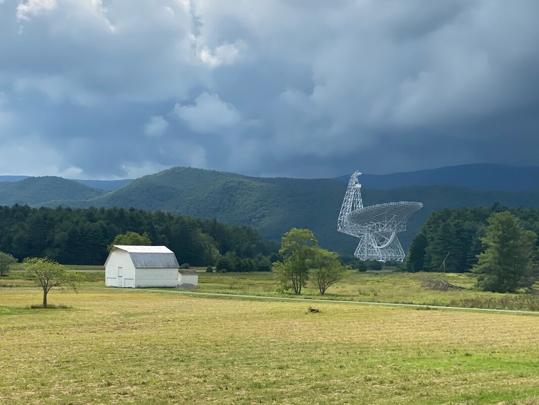 The Green Bank Observatory is home to eight telescopes, ranging in diameter from 40 feet to 300 feet, including the world's largest fully steerable radio telescope, the Green Bank Telescope (GBT). The Observatory has been a pioneer in radio astronomy since its first telescope, the 85-foot Tatel radio telescope, was built in 1959. The observatory also has a number of test instruments, including Little Big Horn, a calibration instrument built down the side of a hill. To support their radio telescopes the Observatory has a full complement of radio receivers capturing frequencies as low as 290 MHz to as high as 115 GHz. The GBT’s specific suite of receivers spans 100 MHz to 100 GHz, and its processors can spot nanosecond timing differences in the signals collected by its giant 2.3-acre dish. The GBT is 485 feet tall and weighs 8,400 tons. To enhance its collection capabilities the telescope has 2,209 active surface actuators - small motors used to adjust the position of the 2,004 surface panels on the telescope’s 330 by 365 foot collection surface. The panels are made from aluminum manufactured to a surface tolerance of less than 0.0020 inches. The Green Bank Observatory is located near the center of the National Radio Quiet Zone (NRQZ) which provides protection from permanent, fixed, licensed radio transmitters. Surrounded by Monongahela National Forest, and the mountainous terrain of West Virginia, the Observatory’s operations are well protected from extraneous radio signals. There is even a West Virginia Radio Astronomy Zoning Act which allows the Observatory to prohibit the use of any electrical equipment within a ten mile radius which causes any interference to Radio Astronomical Observations. A few of the Observatory’s notable scientific accomplishments are:
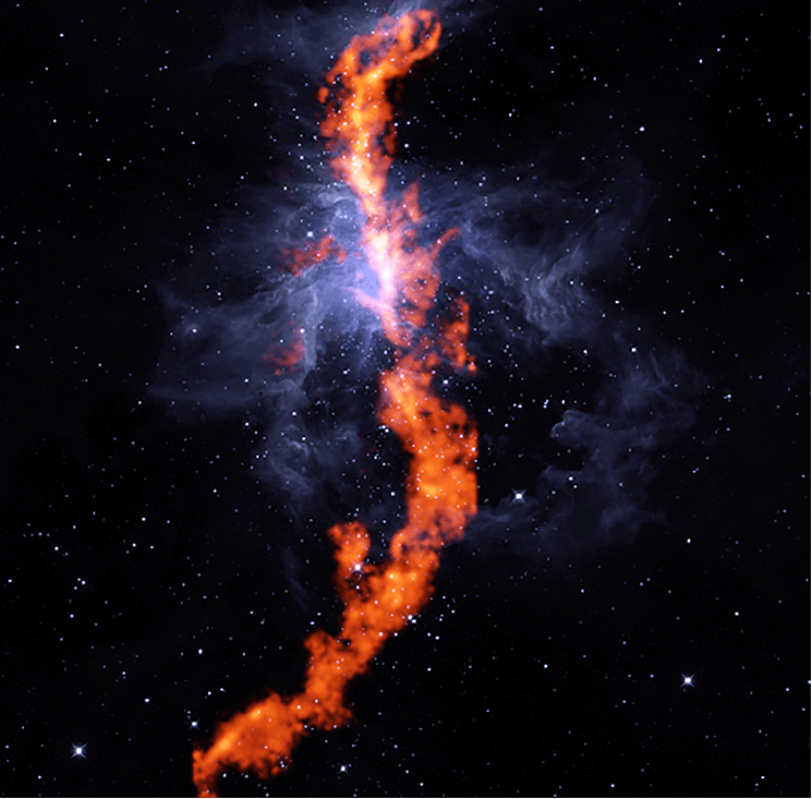
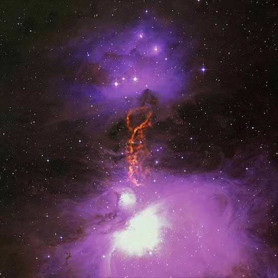
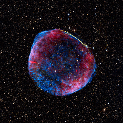
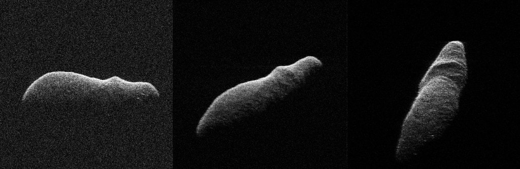
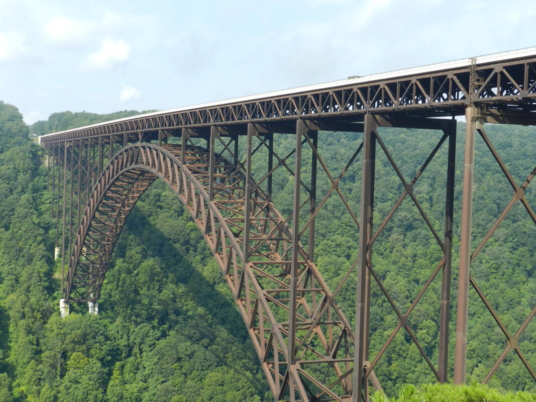
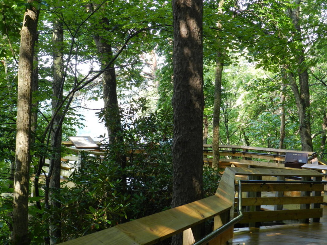
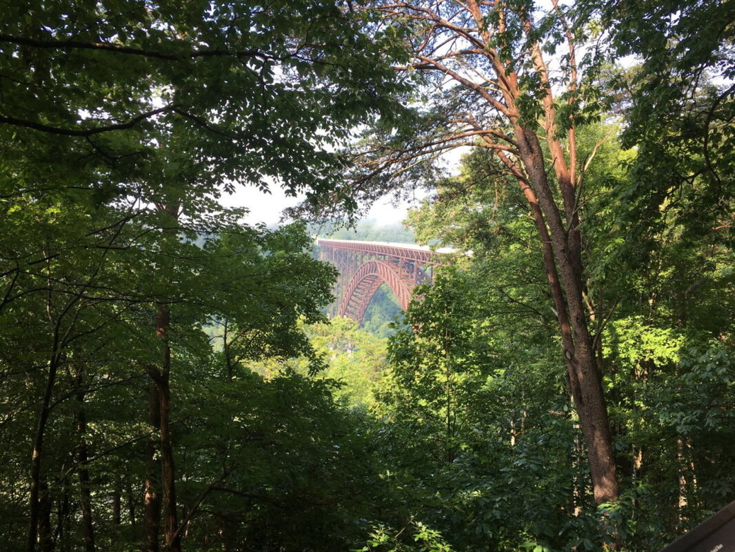
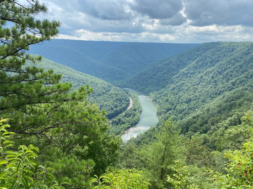
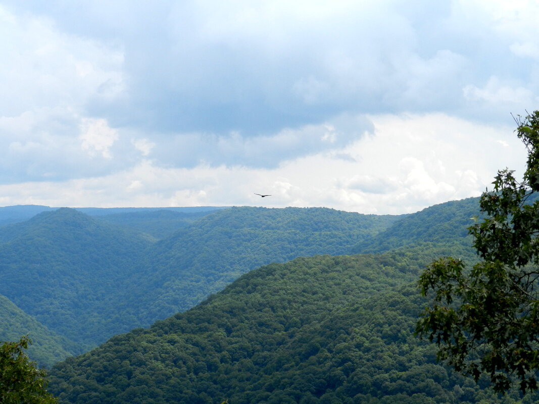
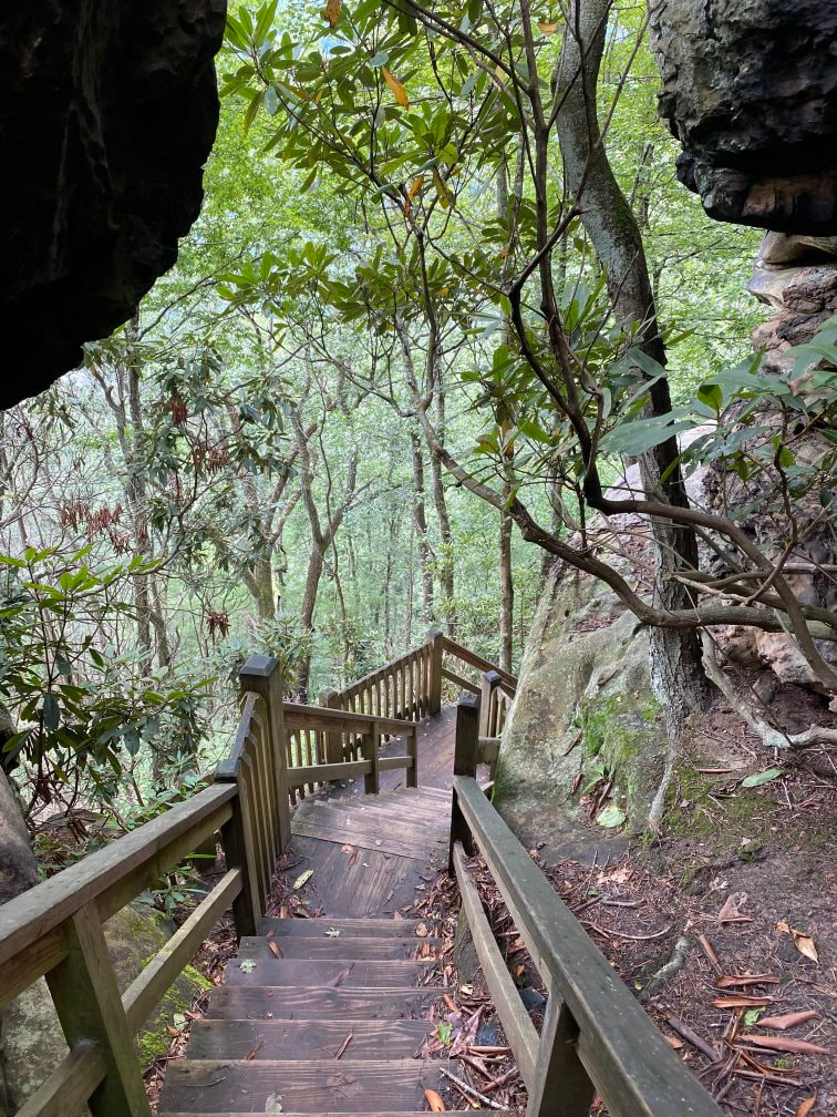
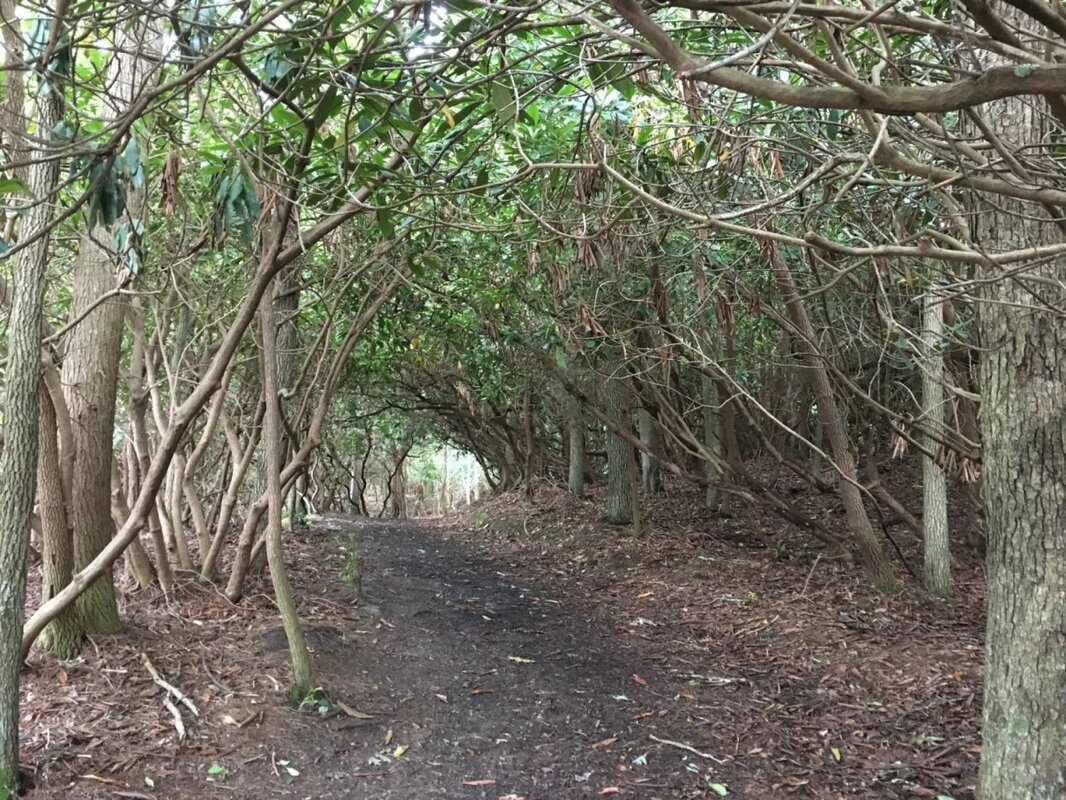
In addition to “normal” astronomical observations the GBT is associated with the “Breakthrough Listen” project which searches for radio signals emitted by extraterrestrials. In 2017, the GBT was used to scan ʻOumuamua, the first known interstellar object passing through our Solar System, for signs of extraterrestrial intelligence. The Green Bank Telescope is a sight to behold and its massive white framework provides a stunning contrast when viewed against the green mountains of West Virginia. (click on any photo to start the slideshow): Here are some photos that have been generated based on the GBT’s radio observations of space (click on any photo to start the slideshow): If you want to learn more about the Green Bank Observatory and Telescope here are a few links to check out: https://greenbankobservatory.org/ https://public.nrao.edu/telescopes/gbt/ https://www.space.com/green-bank-observatory.html The Mountainous Beauties of West Virginia On Day #28 of our 30-day, 9376 mile, road trip to see more of America we visited both the New River Gorge Bridge and the Grandview Park in Fayetteville and Beckley West Virginia.
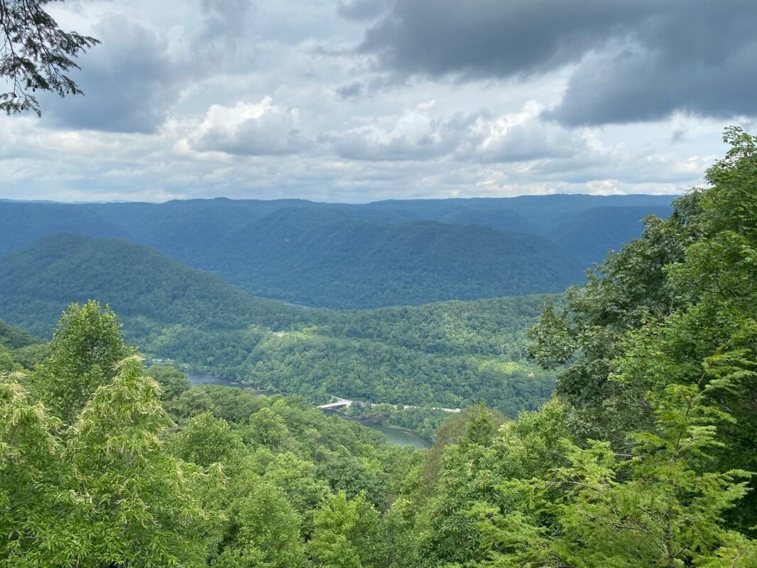
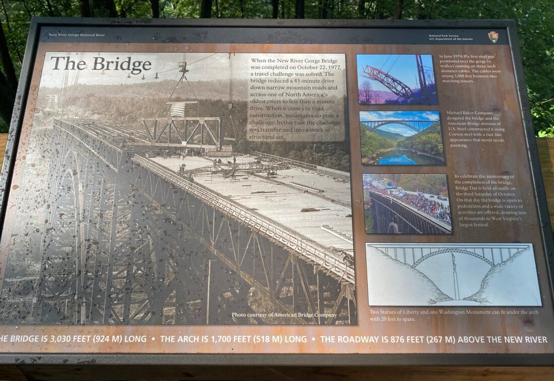
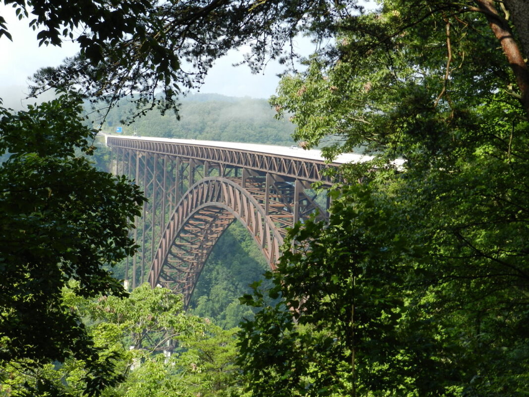
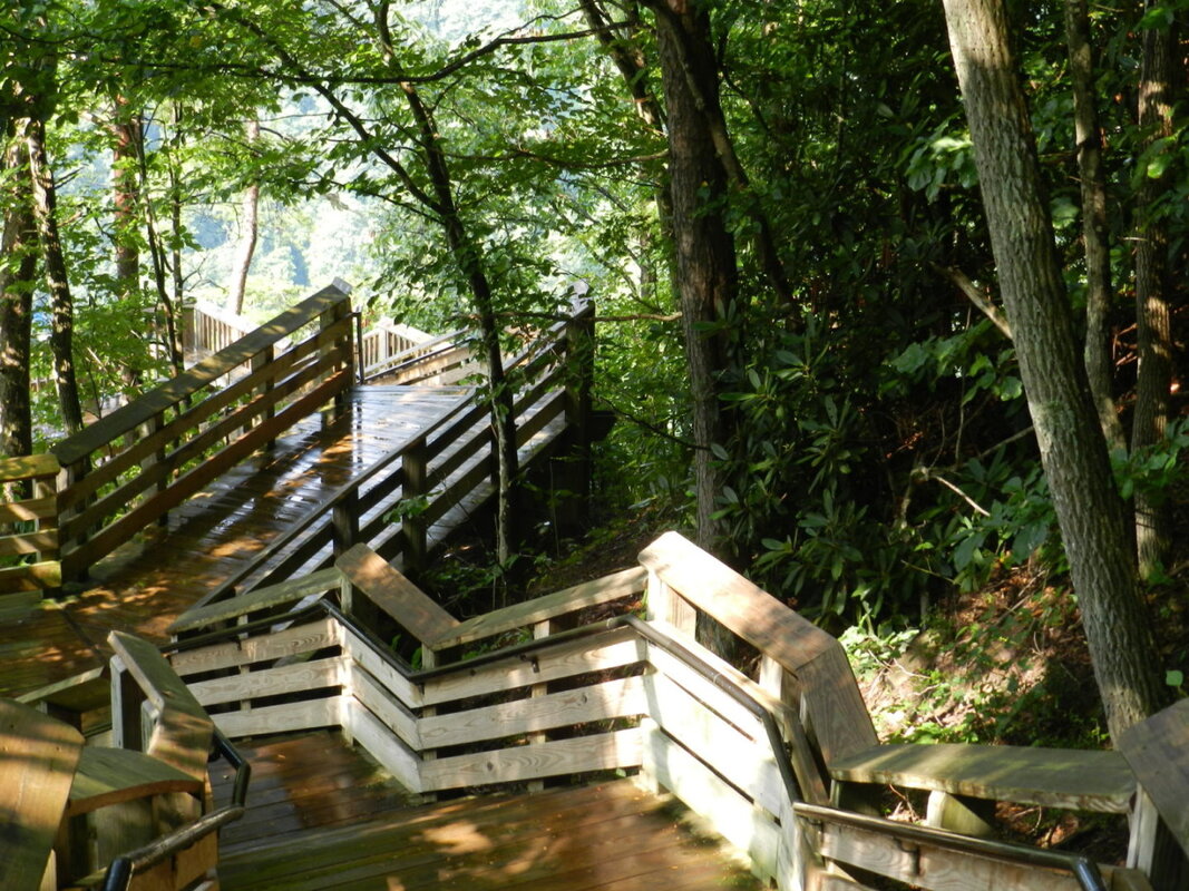
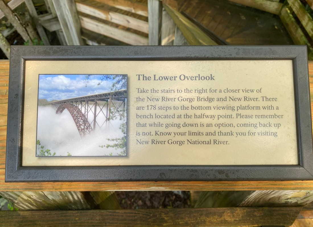
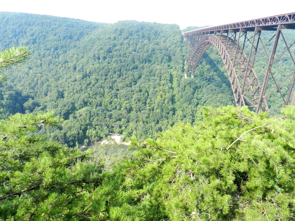
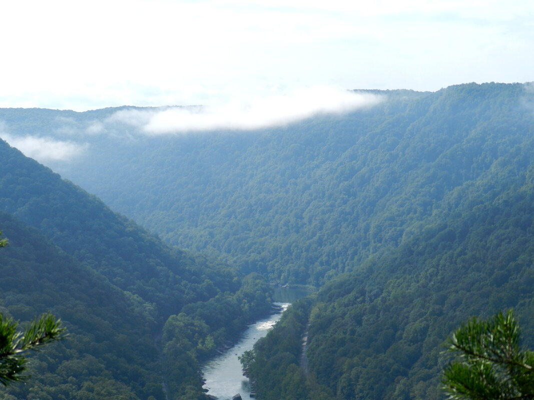
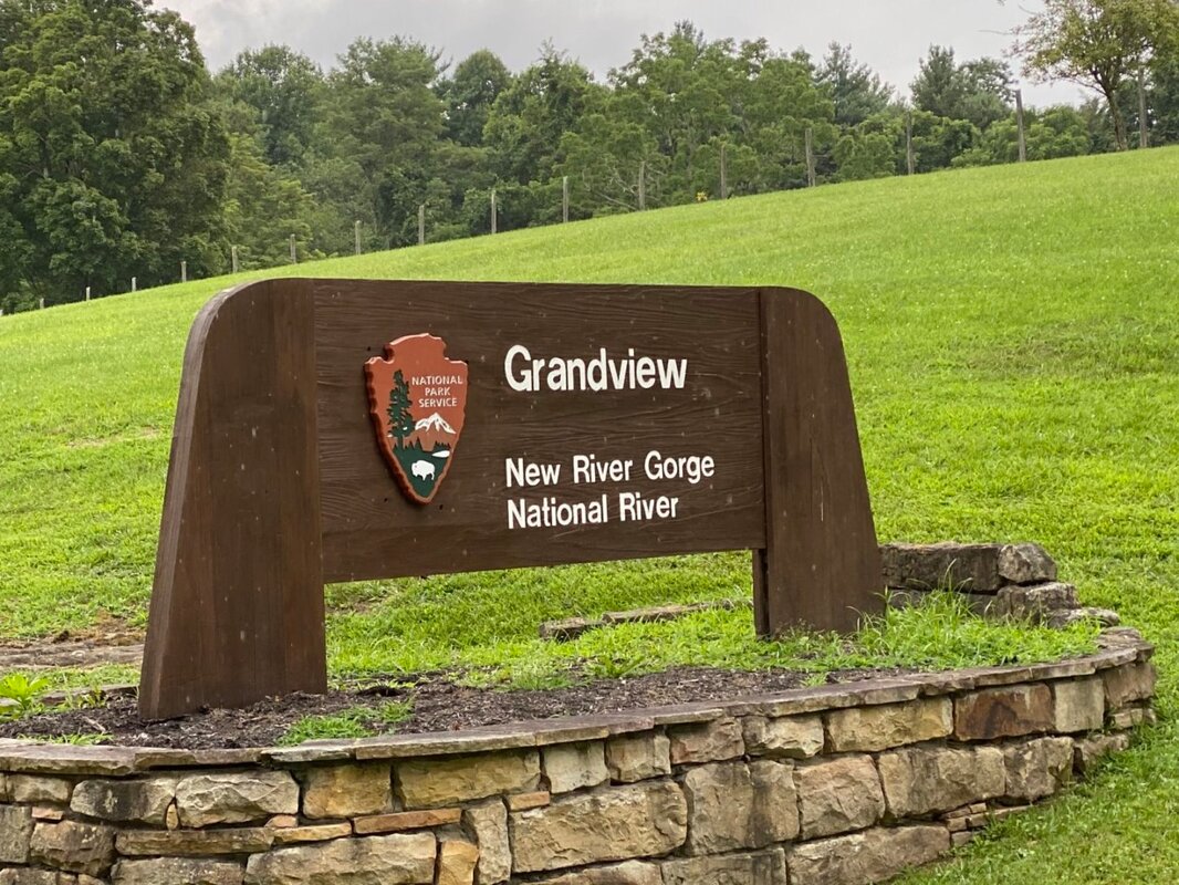
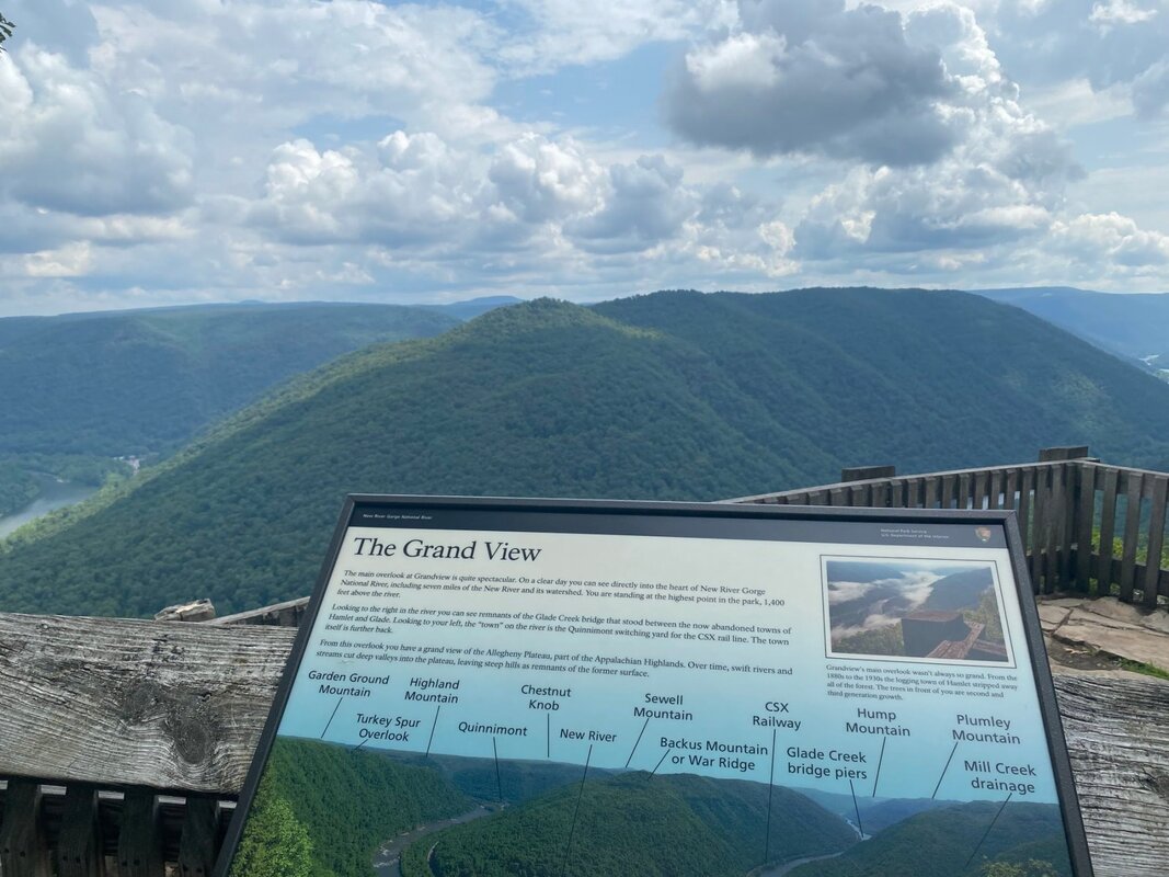
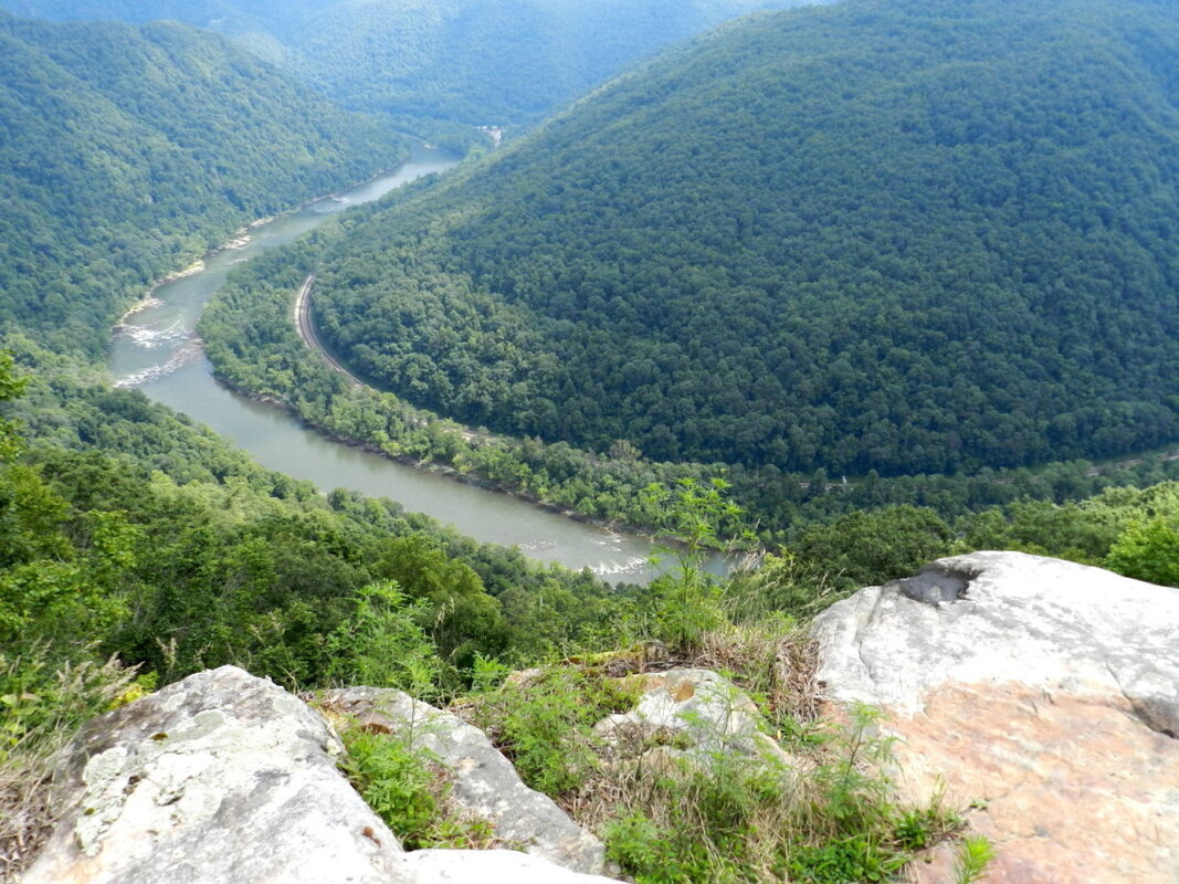
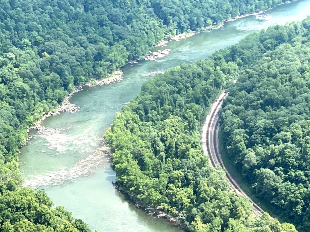
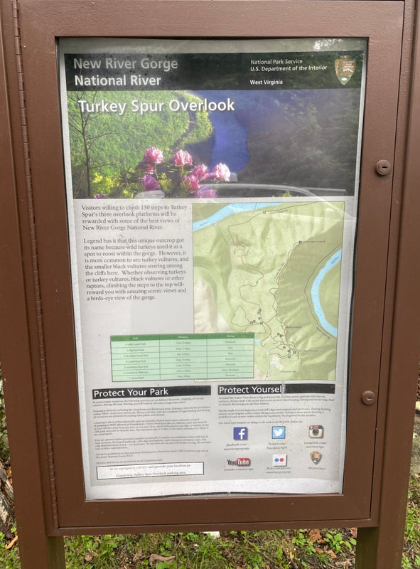
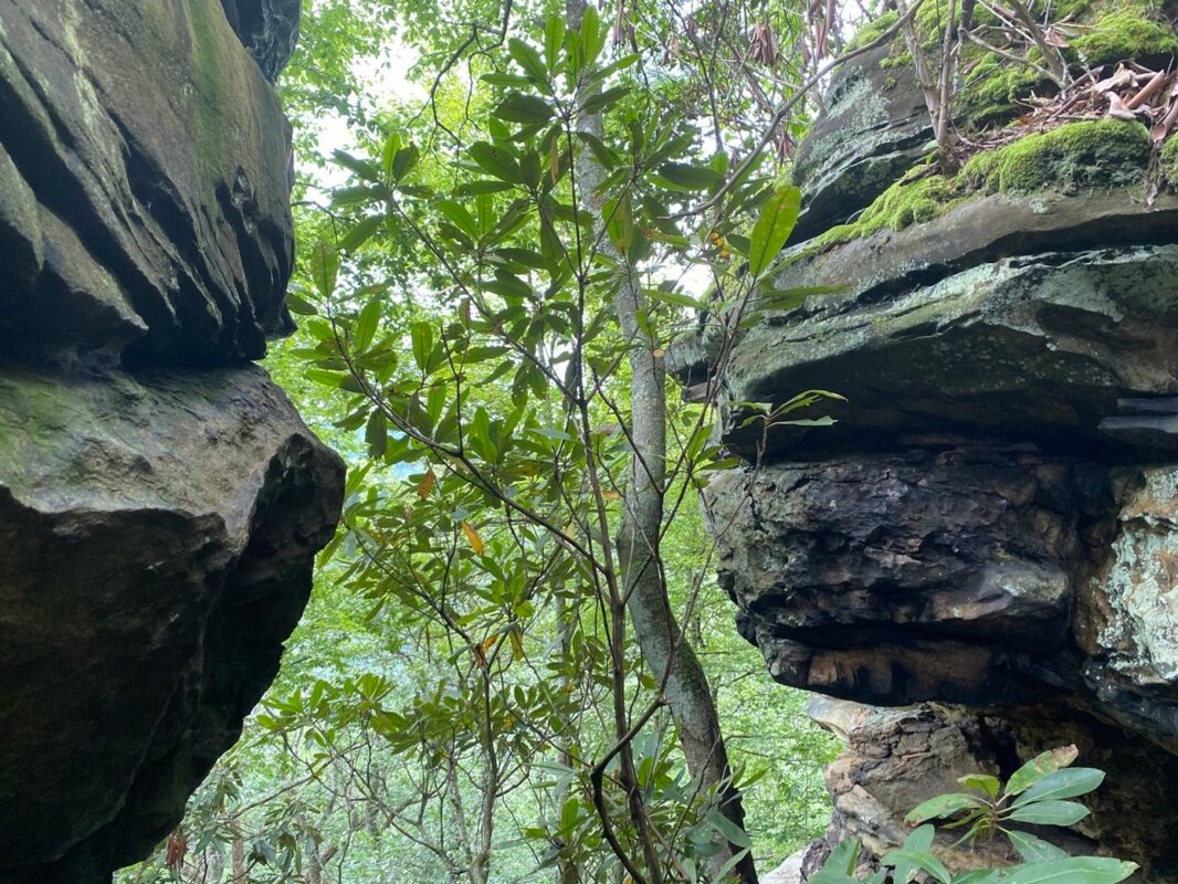
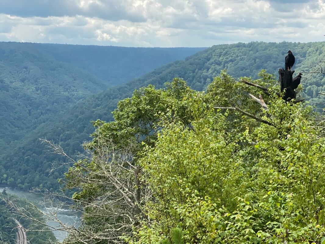
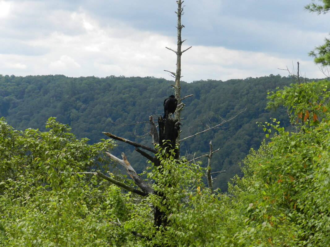
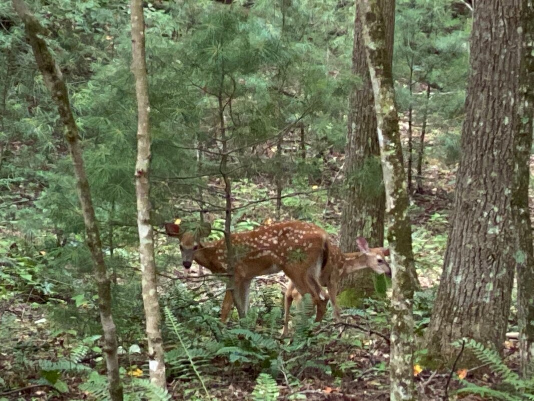
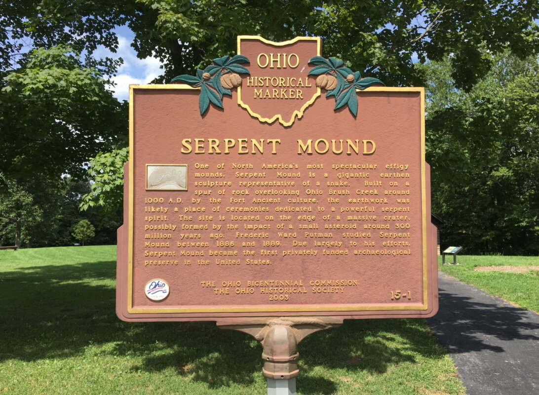
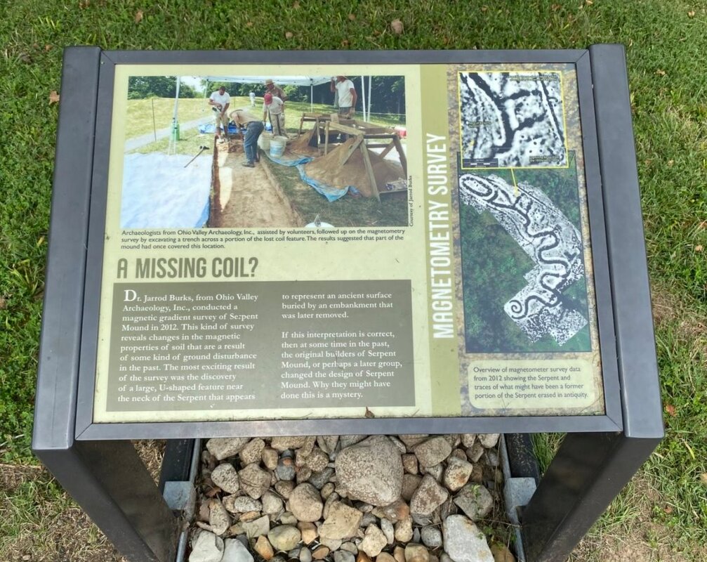
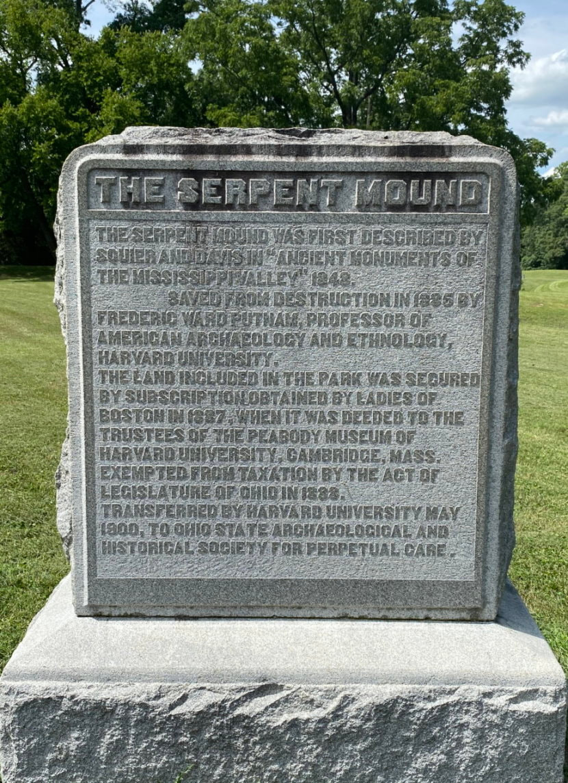
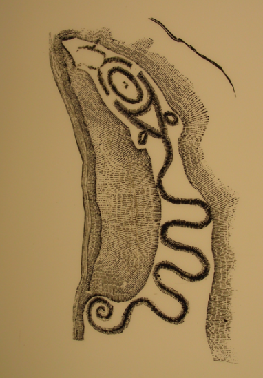
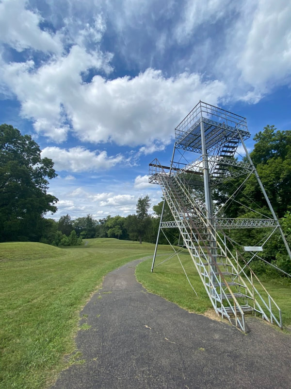
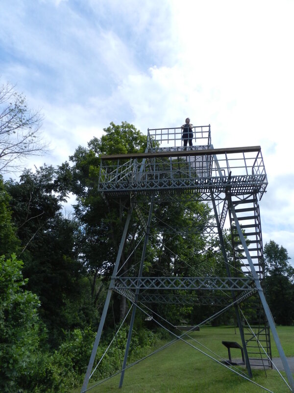
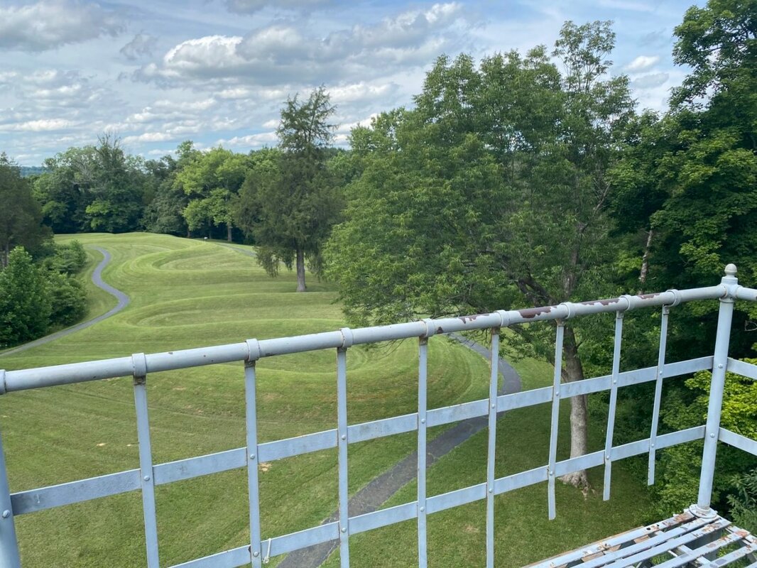
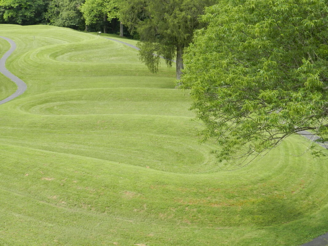
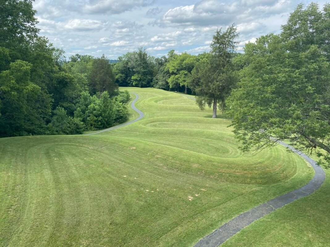
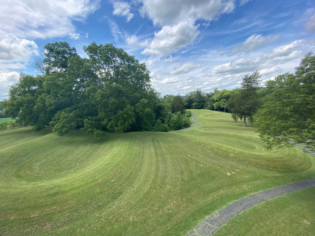
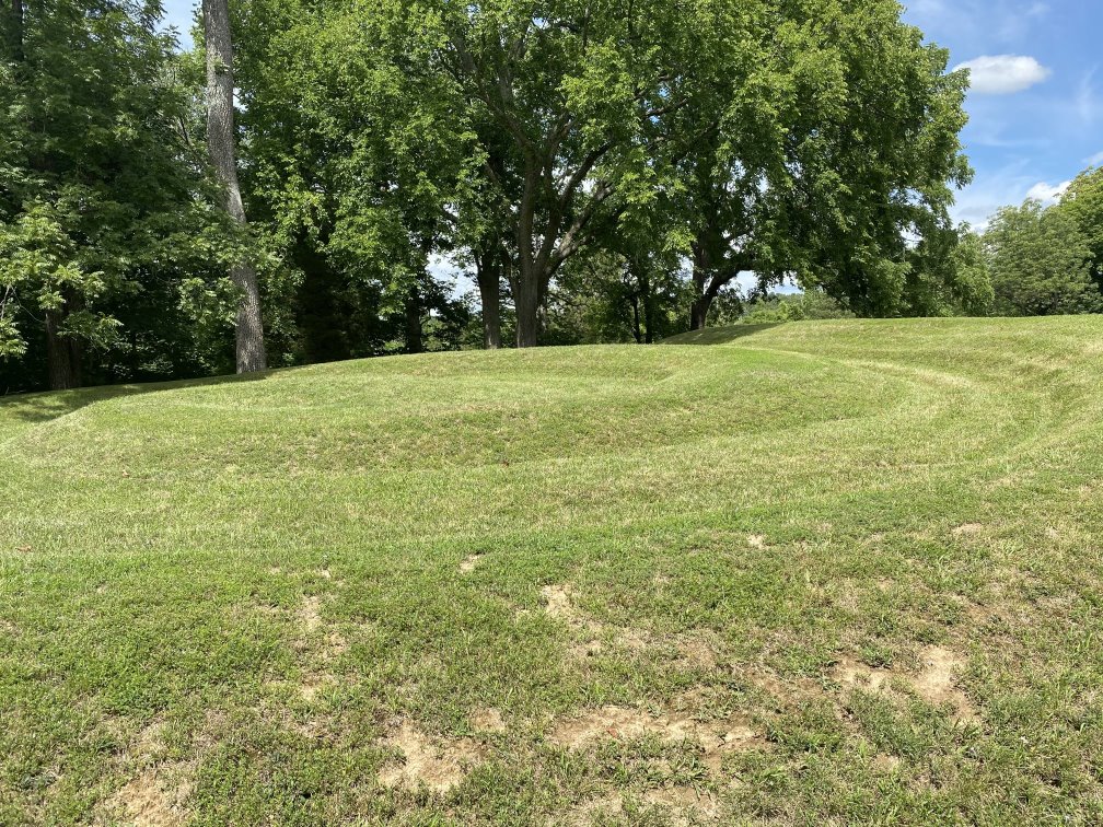
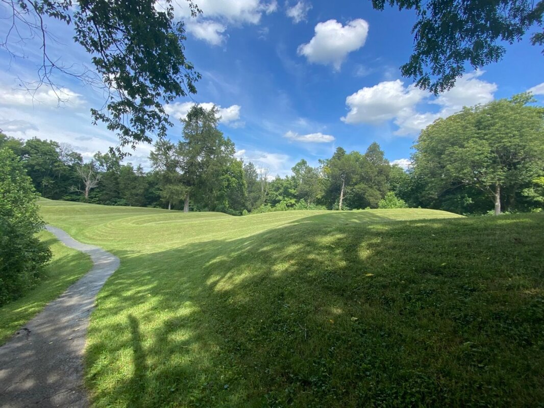
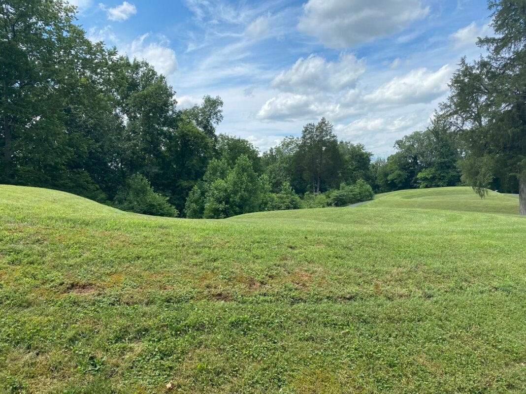
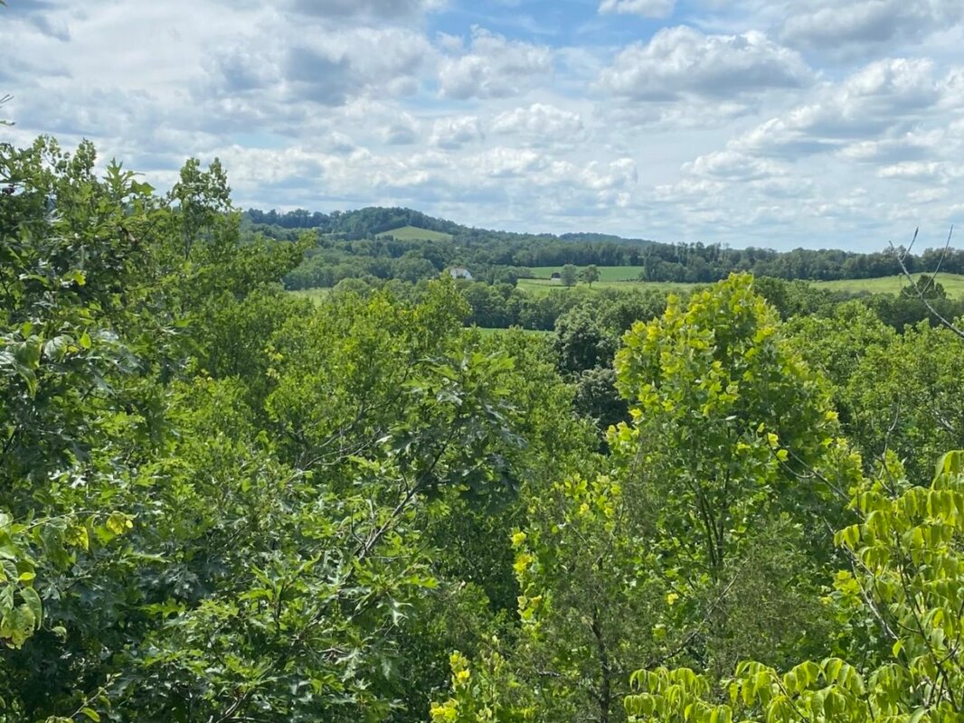
The New River Gorge Bridge is a 3,031 foot long bridge that’s 876 feet above the New River. When construction was completed on 22 October 1977 the drive across the gorge was reduced from 45 minutes on winding mountain roads to less than a minute. The bridge is the longest steel span bridge in the Western Hemisphere and the third highest bridge in the United States, and is made out of Cor-ten steel, which has a rust-like appearance that doesn’t need painting. The bridge was even selected as the image for West Virginia on the 2006 commemorative State Quarter series released by the US Mint. 73,000-acres of the West Virginia canyon was designated as the “New River Gorge National River” in 1978, and will be upgraded to “National Park and Preserve” in 2021; one of only five such designations from the National Park Service (the other 4 are all in Alaska: Denali, Glacier Bay, Katmai and Wrangell-St. Elias). Although this new designation will create a 7,021-acre park in the center of the gorge around the existing Visitor’s Center, and will designate the other 65,165 acres as a national preserve which will allow for backcountry hunting, the management of what will become the 63rd US National Park should essentially be the same as it was for the river. Located approximately 40 miles (~50 minutes) South of the New Gorge Bridge (six miles after getting off of I-64 at Exit 129) is the 52 acre Grandview Park. Built in 1939 as a day park, and significantly upgraded by the Civilian Conservation Corps (CCC) who built roads, shelters, and a picnic area during the Great Depression, the park provides some of the most dramatic views of the New River and is a popular place for hiking and sightseeing. Originally part of the West Virginia State Park system, it was transferred to the National Park Service in 1990. From the Main Overlook, which is 1,400 feet above the river, you can see more than seven miles of the New River and its surrounding forests. There are even better views from the Turkey Spur Path. Wildlife abounds and the vistas are pristine. The New River Gorge Bridge is a stunning architectural achievement and the views of it, and those in the Grandview Park are spectacular – well worth the trip (click on any photo to start the slideshow): If you want to learn more about the New River Gorge Bridge and Grandview Park here are a few links to check out: https://www.nps.gov/neri/index.htm https://www.nps.gov/places/new-river-gorge-bridge.htm https://www.nps.gov/neri/planyourvisit/nrgbridge.htm https://www.nps.gov/neri/planyourvisit/grandview.htm Largest Serpent Effigy in the World On Day #27 of our 30-day, 9376 mile, road trip to see more of America we visited the Great Serpent Mound in Adams County, Ohio (on State Route 73 near Peebles). 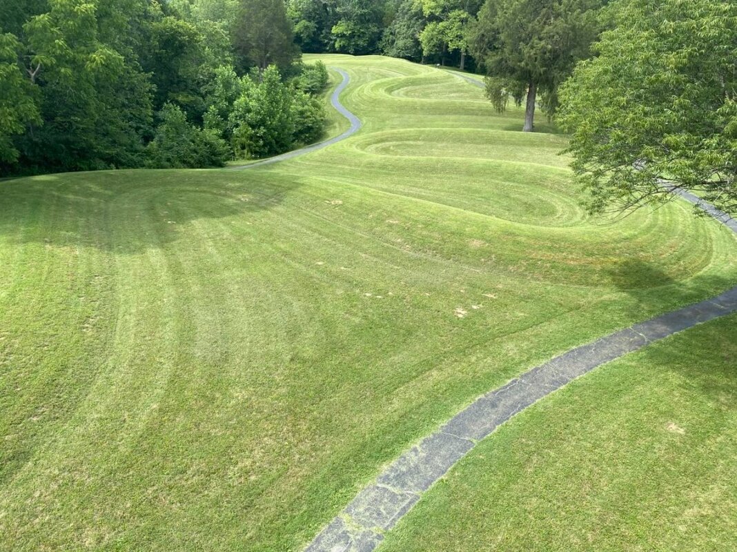 The Great Serpent Mound is a 1,348 foot long, three foot tall prehistoric effigy mound that was first mapped by Euro-Americans as early as 1815, and was documented in surveys by Squire and Davis in their book on “Ancient Monuments of the Mississippi Valley” which was published in 1848 by the Smithsonian Museum. Thought to have been built between 381 BC and 44 BC, the Serpent Mound is the largest serpent effigy in the world and is made from a layer of yellowish clay and ash reinforced with a layer of rocks, and covered with a layer of soil. Following the curve of the land on which it was built, the 20-25 foot wide serpent winds back and forth for more than eight hundred feet. The serpent has seven coils in total, with its head facing the cliff above a stream, and it tail ending in triple-coils. The head has an open mouth extending around the east end of a 120-foot hollow oval feature which may represent the snake eating an egg (or potentially the sun). There is also conjecture that the head area of the serpent is aligned to the summer solstice sunset and that the curves in the serpent's body align with lunar events. As you can see from the photos below – the Great Serpent Mound is a unique ancient artifact worth taking the time to detour for a visit. (click on any photo to start the slideshow): If you want to learn more about the Great Serpent Mound here are a couple of links to check out: https://www.ohiohistory.org/visit/museum-and-site-locator/serpent-mound https://www.history.com/topics/landmarks/serpent-mound https://historydaily.org/who-built-the-great-serpent-mound-and-why |
What's On This Page?Here's where we post reviews, questions, answers, thoughts and other information that's of general interest to our followers in a blog format. Categories
All
Archives
August 2023
|


 RSS Feed