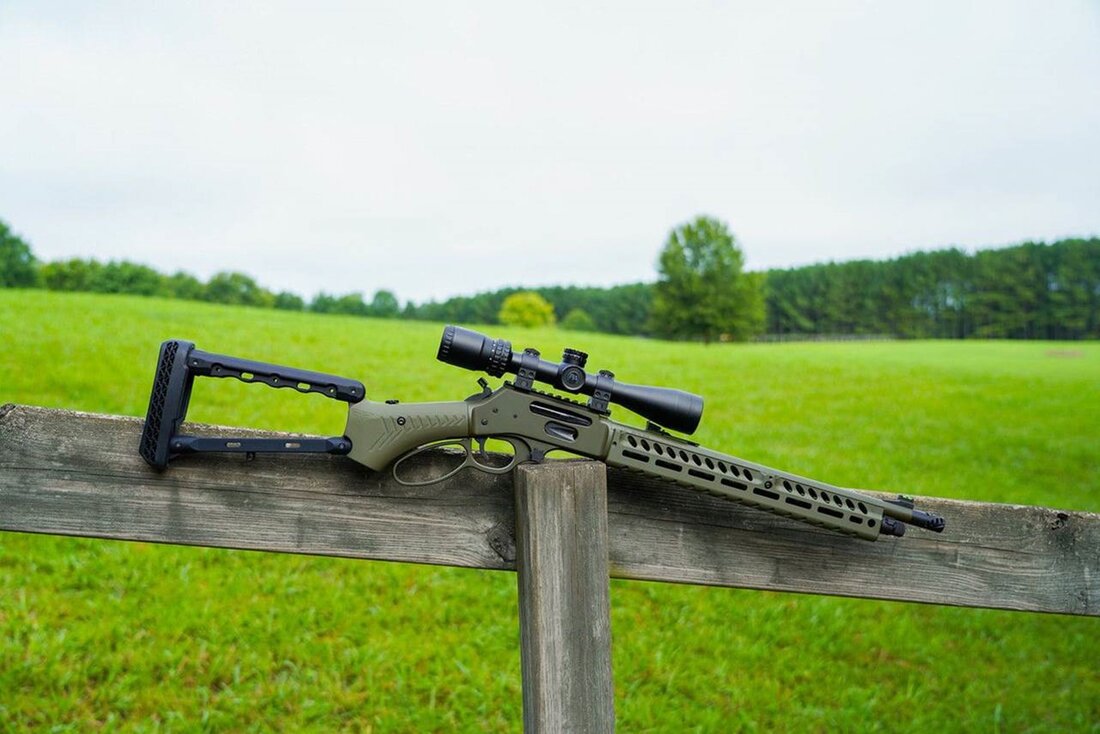
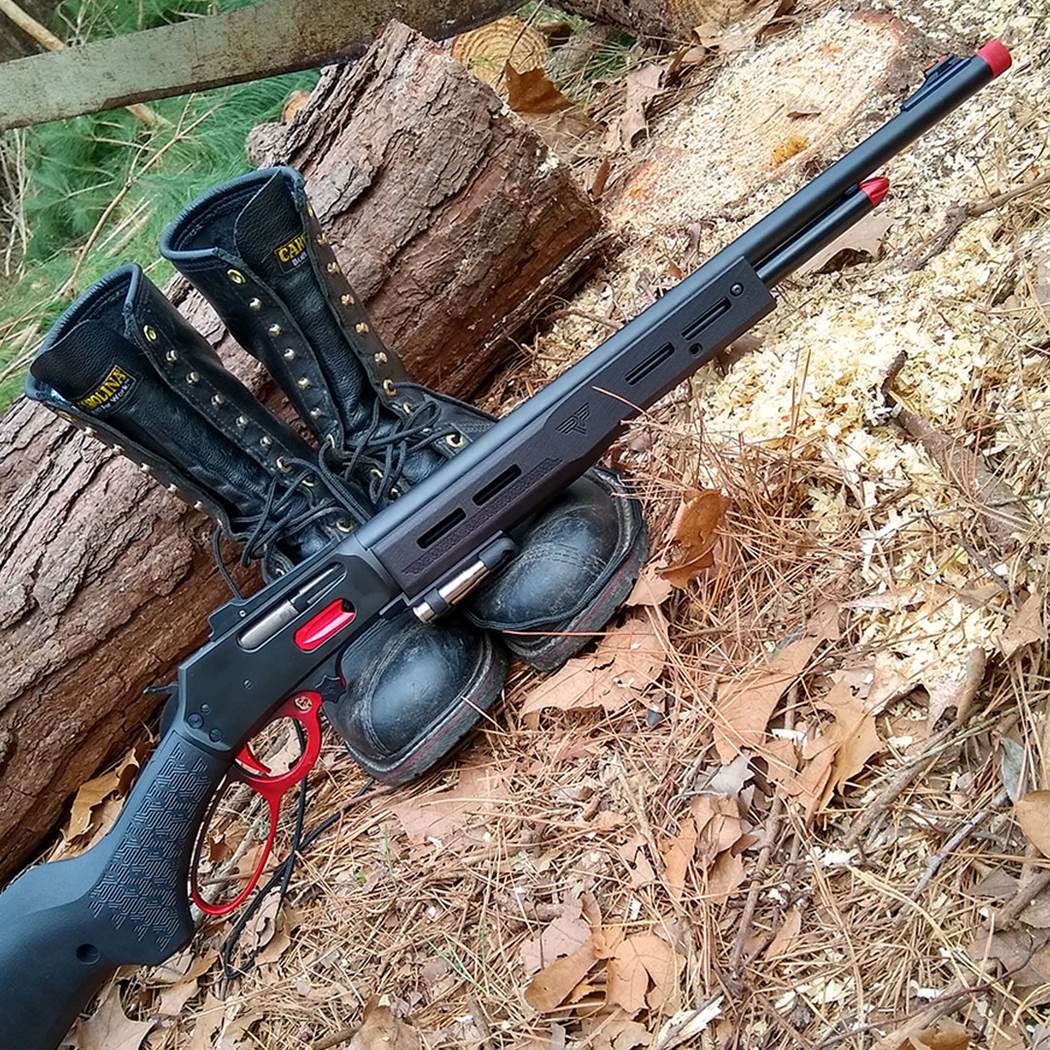
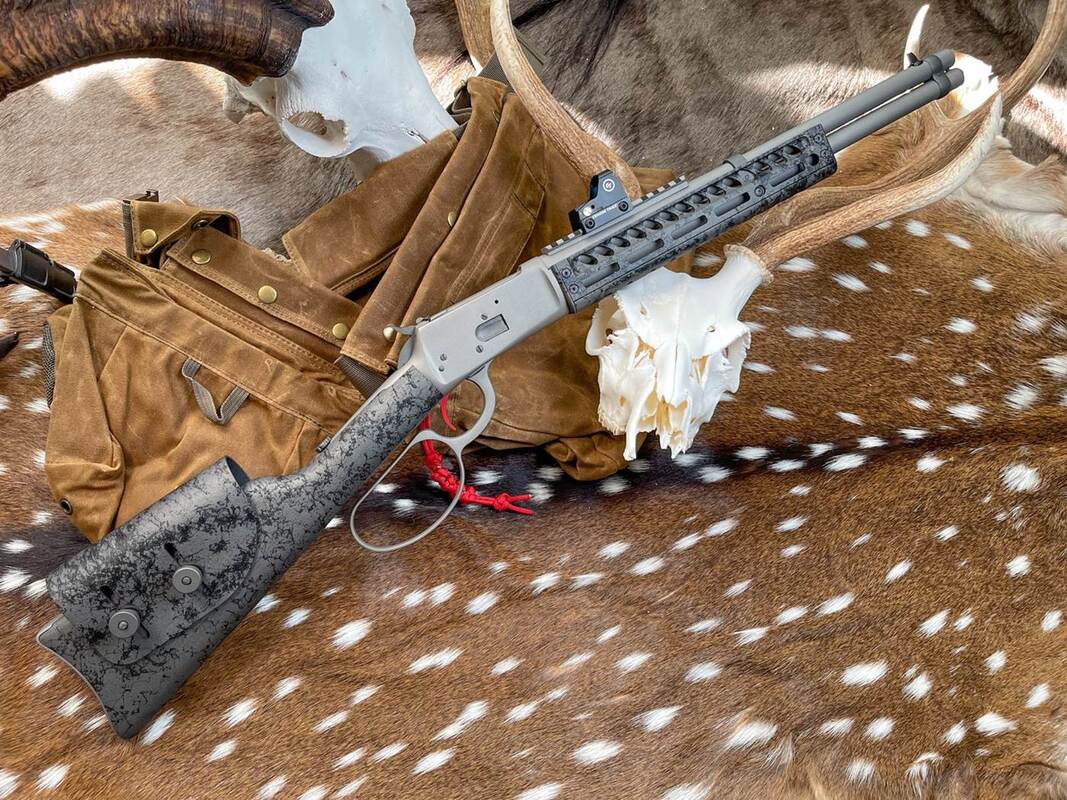
The Place to Go for Henry, Marlin, Winchester and Rossi High-performance Lever Action Parts If you’re looking to increase the performance and functionality of your Henry, Marlin, Winchester or Rossi lever action firearms - then the place to go is Ranger Point Precision (RPP).  Located near Houston, Ranger Point Precision is a leading innovator and producer of performance lever-action rifle parts; a one stop shop for all things related to lever-action rifles. All of their parts are manufactured in-house and they are constantly designing new high performance parts for Henry Repeating Arms, Marlin Firearms, Winchester Repeating Arms, Rossi 92, Citadel Levtac and other lever-action rifles. All of their parts work with the newest rifles - as well as being backwards compatible with rifles built as early as 1950. What makes Ranger Point Precision really interesting is that instead of making stock replacement parts - they are very focused on making parts to upgrade your lever action guns – to include M-LOK tactical rails, skeletonized stocks, shotgun shell quivers, muzzle brakes, fiber optic sights, peep sights and lever loops. 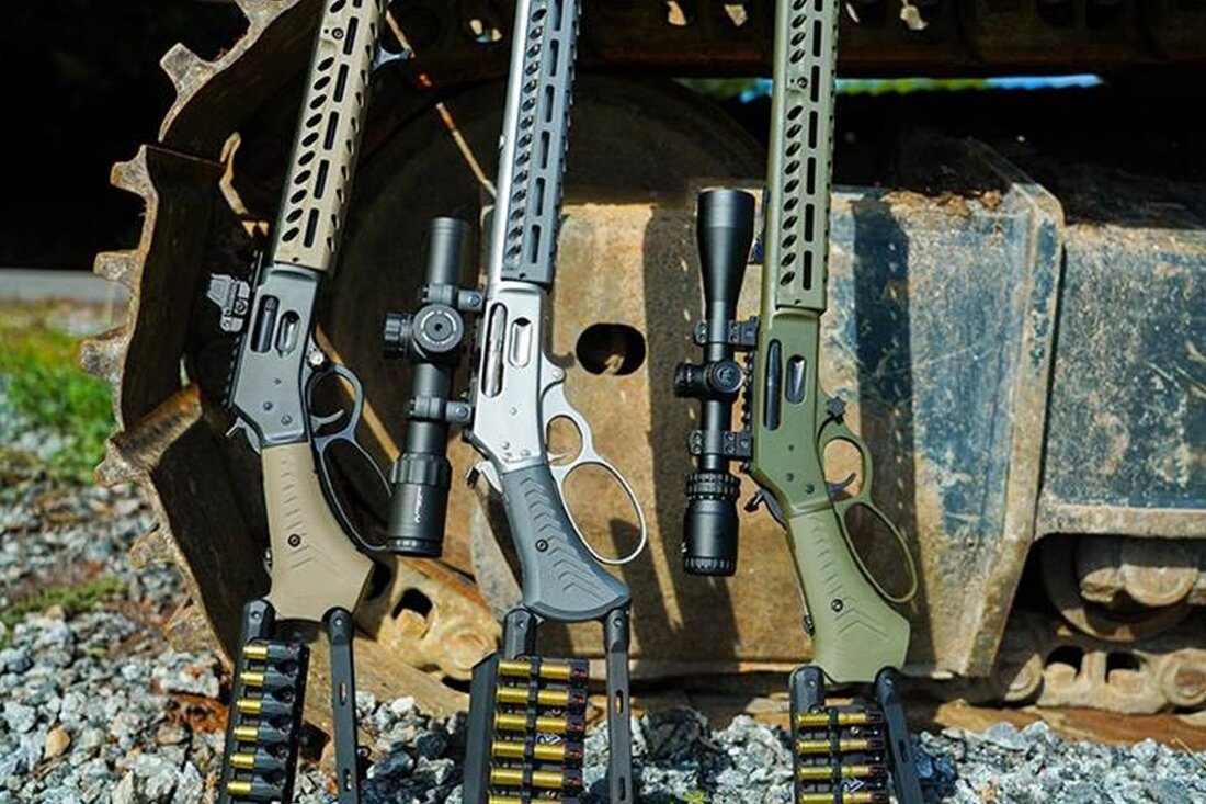 Here are some great examples of firearms that have been upgraded with Ranger Point Precision’s parts: So, if you want some great parts or accessories to upgrade your lever action firearms, you should check out the Ranger Point Precision online store at: https://rangerpointstore.com/ But be warned – theses aren’t your Grandpa’s lever action guns………….. 
0 Comments
The Ultimate Pest-prevention Guide: How To Deter Insects From Overruling Your Person, Outdoor Gear, and Home Although the Summer months have just passed us by - here in New England that doesn’t mean that all the insects have disappeared yet. Far from it since October and early November are still prime time for mosquitoes and ticks in our neck of the woods. As always, there’s lots of information out there on the internet – as long as you have the time to search for it. Fortunately for us, last week Thomas from pests.org dropped us an email with a link to an article of theirs that they had recently updated for 2022: “The Ultimate Pest-prevention Guide: How To Deter Insects From Overruling Your Person, Outdoor Gear, and Home”  Their article covers the following insects:
We really like that the article has three sections with detailed information about each of the pests listed above:
In addition to this great article on pests that traditionally plague hikers and campers, the website also has a ton of information on how to get rid of:
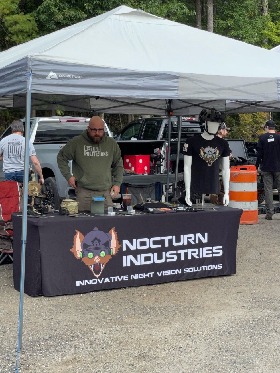
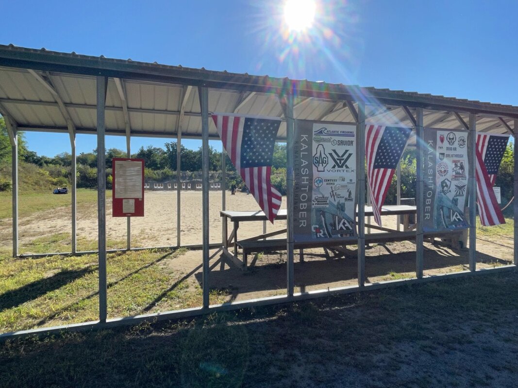
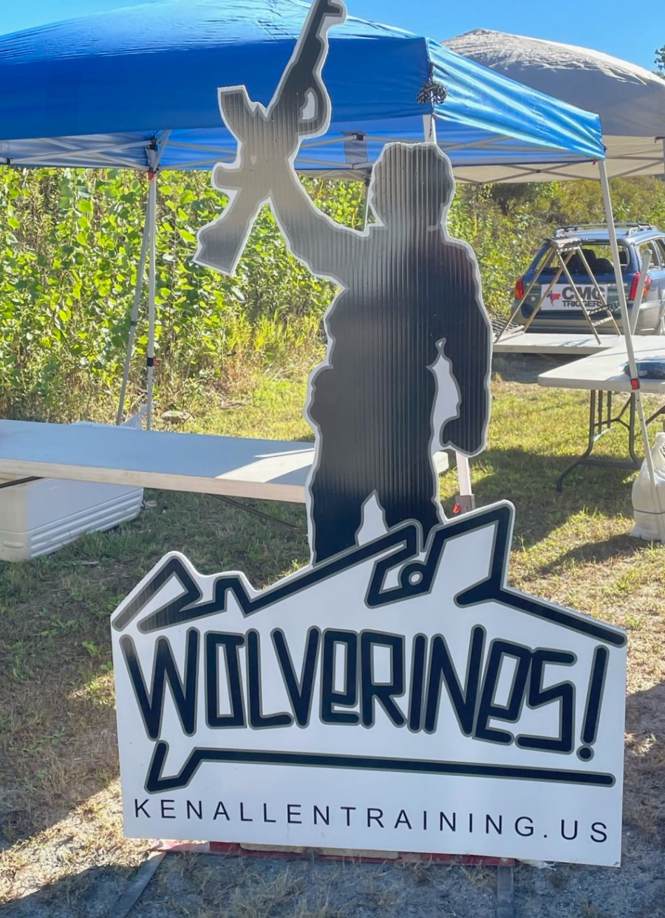
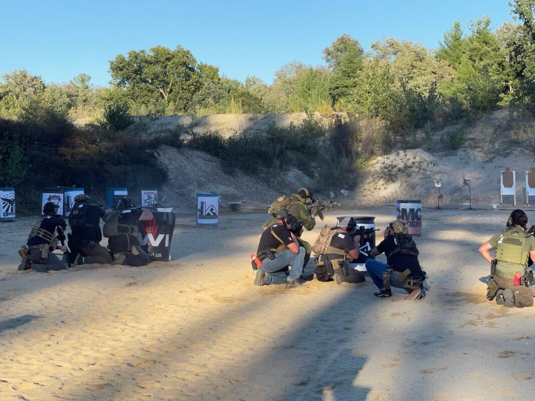
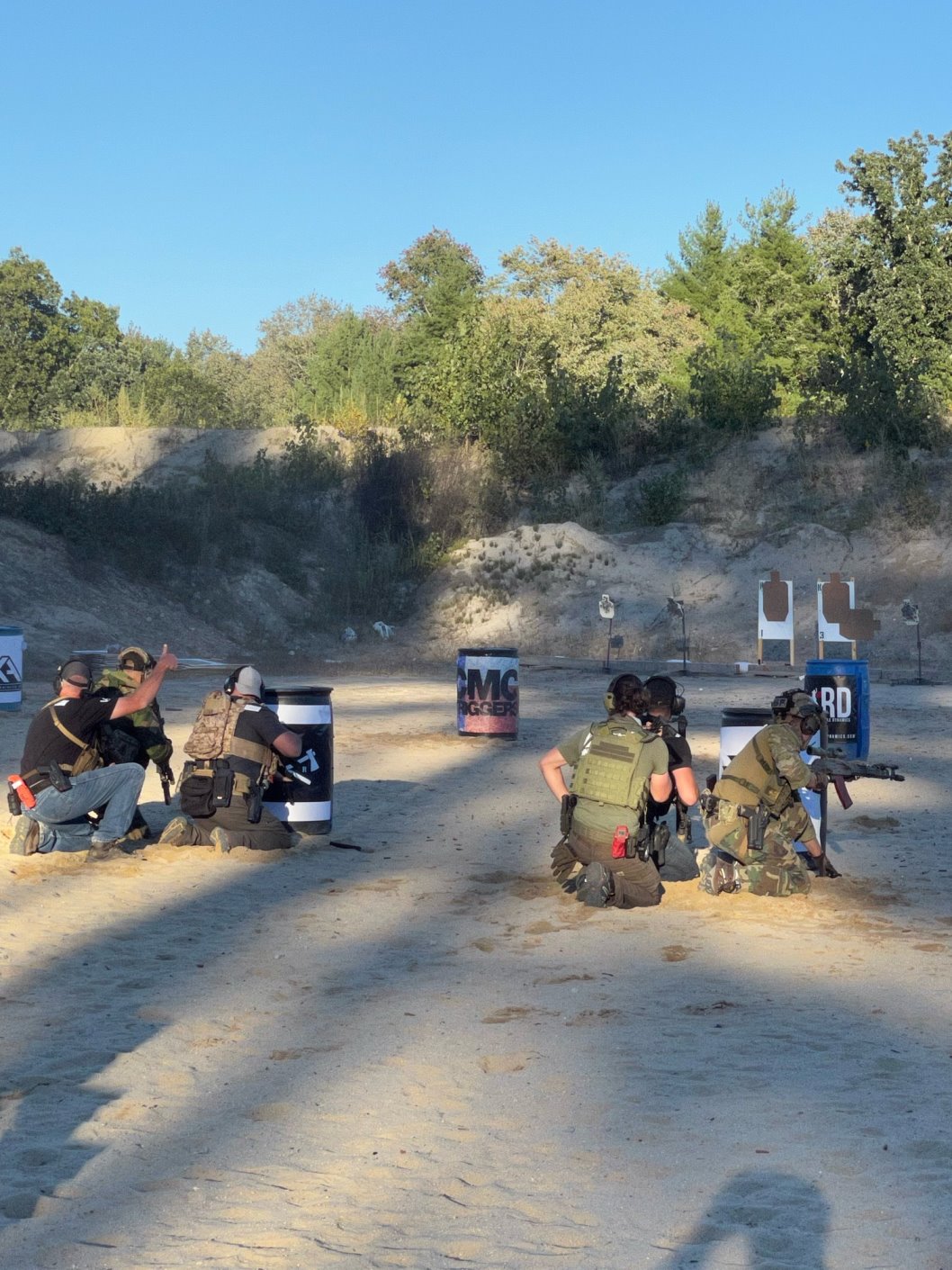
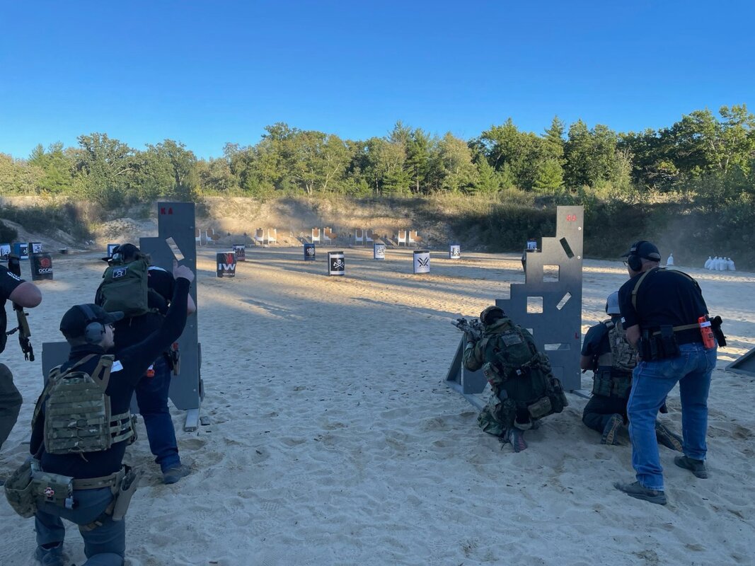
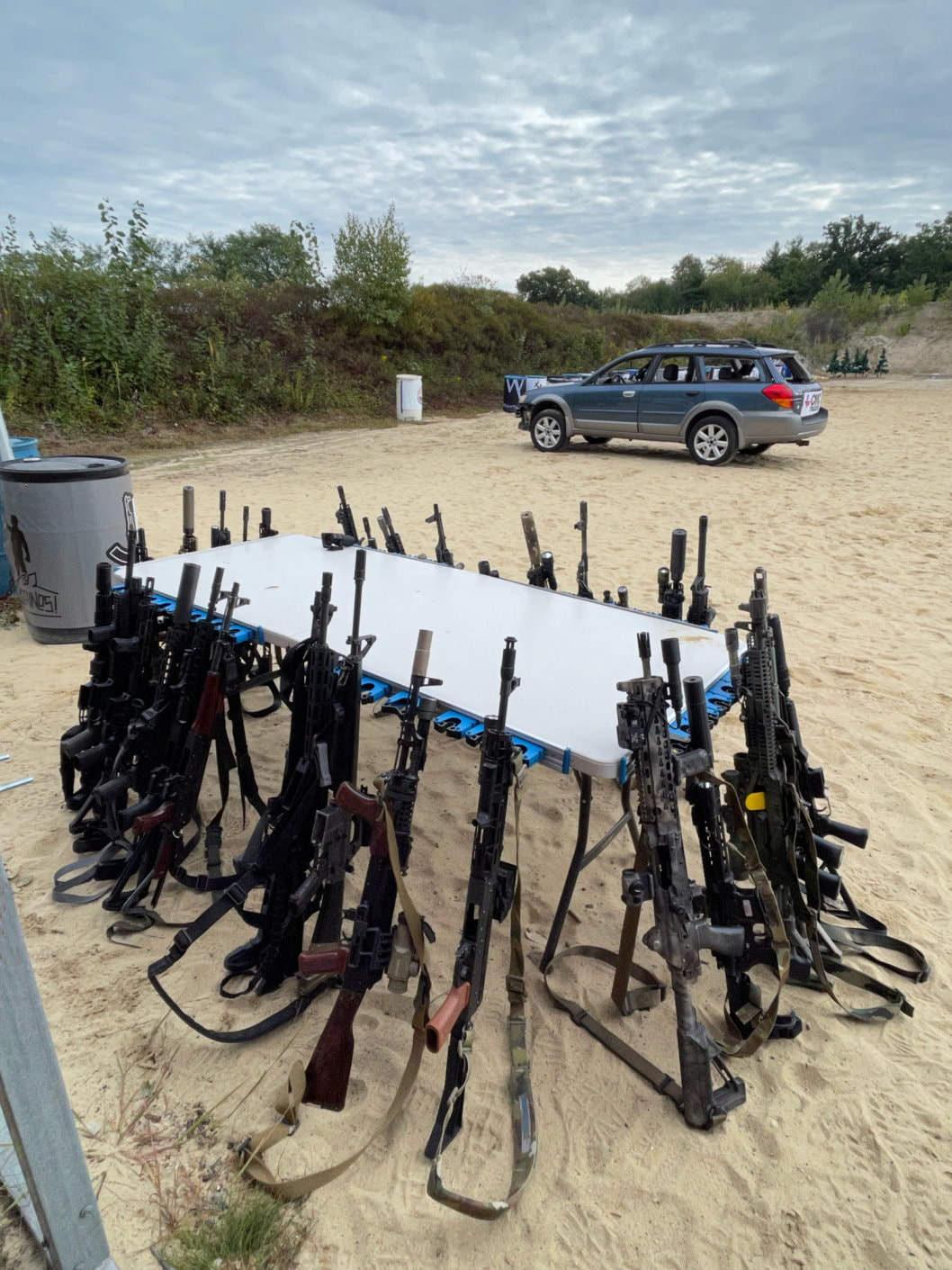
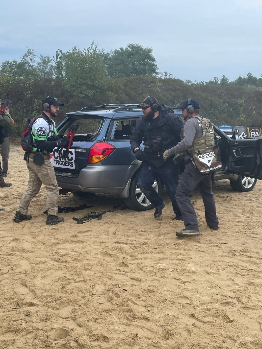
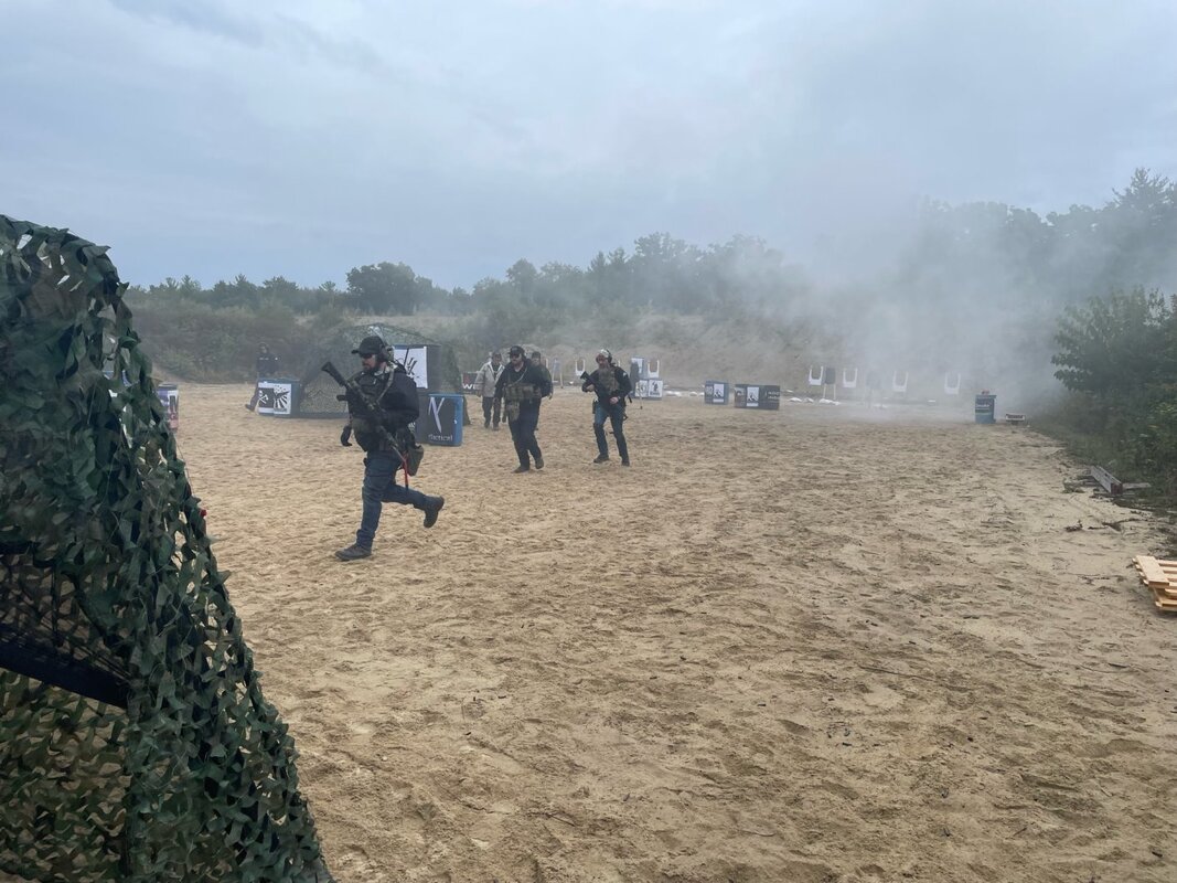
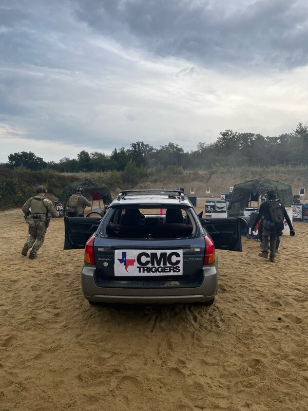
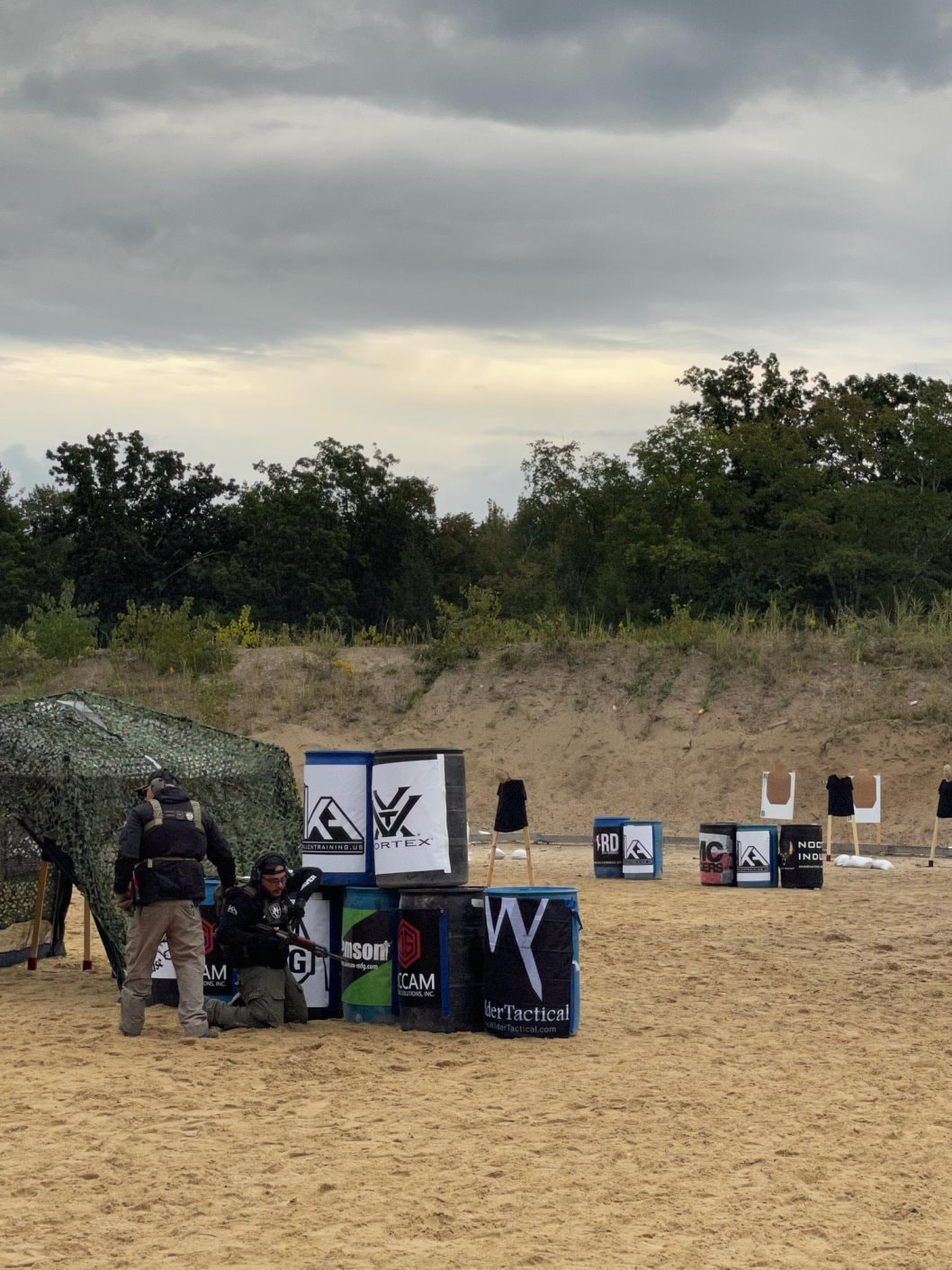
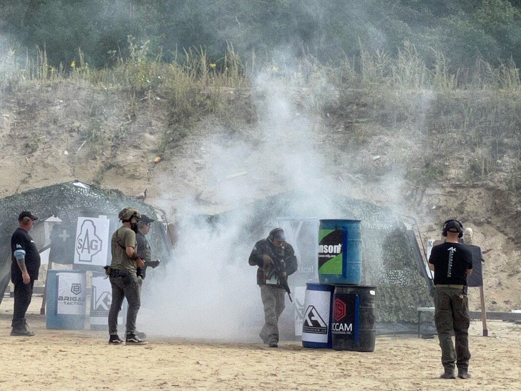
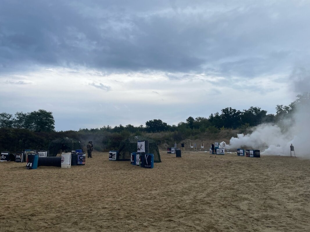
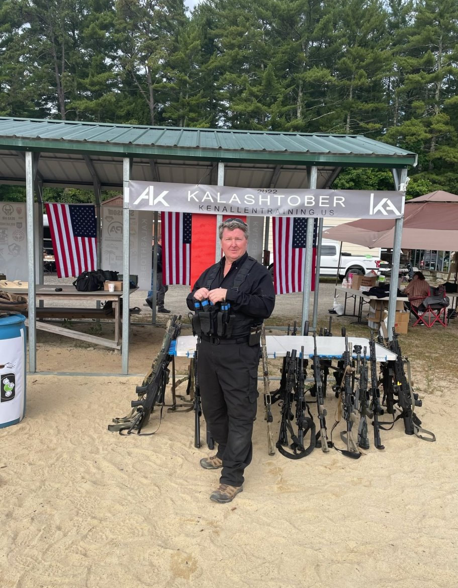
 So if you’re looking to learn more about how to deal with a wide variety of insect and wildlife pests - you might want to check out “The Ultimate Pest-prevention Guide” and the “DIY Pest Control” page that pests.org has online. They are great sources of information – all in one spot. Kalashnikov Tactical Training Last Saturday and Sunday we attended Kalashtober 2022 “the oldest, original and longest continuously run annual AK training, competition and community event in the country”, led by Ken Allen, the head of Ken Allen Training (https://kenallentraining.us/), along with 30 other shooters, 10 vendors and lots of support staff. The fall New Hampshire weather was almost perfect – with just a little rain on Sunday. 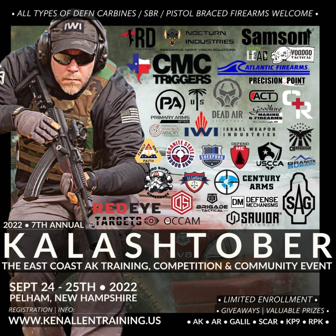 The event was a hands-on, live fire course for shooters that know a considerable amount about shooting and want to improve their tactical skills. Although Kalashtober is primarily an AK event, it was open to AK, AR, Galil, SCAR, KP9, and RPK participants. In fact I would estimate that 60% of the shooters had AKs and the other 40% had AR’s. The focus was really on the shooting techniques and not the specific firearms; which was a good thing since no two weapons on the range were the same due to their types and customizations (e.g. grips, optics, slings, Cerakote patterns, flashlights, magazines, etc.,) that everyone had made. The two-day event ran from 8:30 AM until after 9:00 PM each day – with time built in to talk to the vendors and visit with other participants in the community during the lunch breaks and even at dinner on Saturday night. Although I’m not solely an “AK-guy”, since I like to learn new shooting techniques, improve my skills and challenge myself - I try to take various classes throughout the year. This was a good one since it really focused on higher-level skills utilized in activities that require significant range setup and attention to range safety procedures. I primarily used my Kalashnikov KR-9S during the training – with my Norinco MAK-90 as a secondary weapon. The range training focused on moving, thinking and shooting from a wide variety of distances (from 5 yards to 50 yards), utilizing various shooting positions (prone, kneeling, sitting, standing), shooting different target types (paper silhouettes, steel plates, 3-D torsos, deer silhouettes) in a variety of real world situations to include:
Although the majority of the time was spent on shooting, on Sunday morning the participants were broken into three 10-person groups and each group spent an hour on the following:
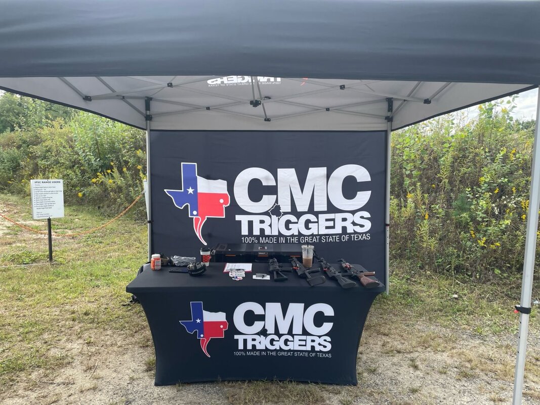
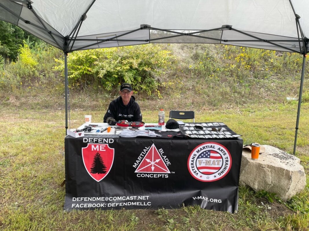
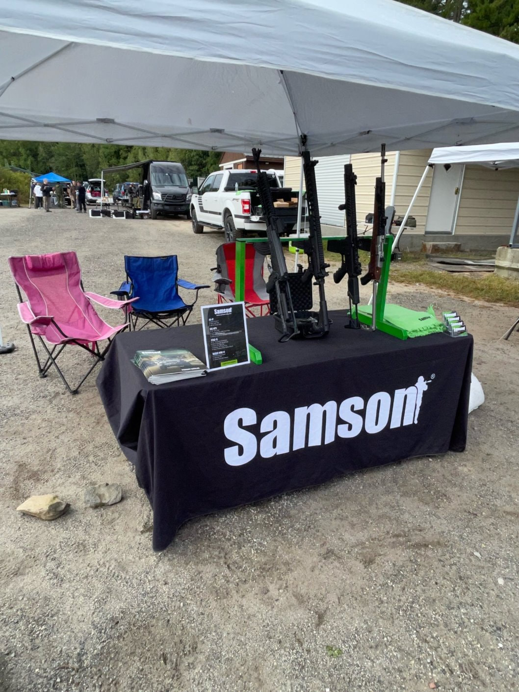
The vendors that attended the event included:
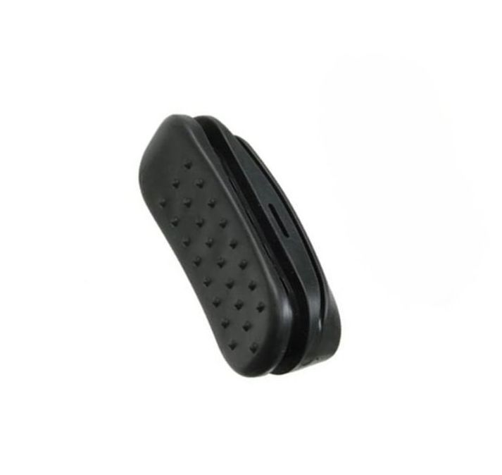
Here are a few photos of what Kalashtober 2022 looked like on the range (click on any photo to start the slideshow): Here’s a short video showing what running the Kalashtober 2022 “Gauntlet” looked like: If you have a chance to take any of Ken’s courses at his home base in New Hampshire I would highly recommend that you sign up since his classes will definitely help you improve your shooting techniques and tactics. You can find out more about Ken Allen Training, and the classes that they offer, on their website: https://kenallentraining.us/ Kalashnikov-USA AK Rubber Butt Pad As you can see on our Shooting/Carbines page one of the firearms that we have is the Kalashnikov KR-9S; a 9mm Carbine which is very accurate and fun to shoot. However, we’ve found that if we use it for the entire day at the range the skeletonized Vityaz-style triangle folding stock can get a little sharp - since it is a metal triangle poking your shoulder all day. Luckily we are evidently not the only ones that have noticed this - so Kalashnikov-USA has made a rubber butt pad that fits the KR-9S stock.
Designed to reduce recoil from the firearm, the butt pad is a slip-on sleeve design that is easy to install, and its reinforced lip improves the pad’s hold on the buttstock of the KR-9. Made from durable black rubber, the pad has been designed to maintain the rifle’s position while you fire. This butt pad will also fit KP-9, KR-103, KR-104, and Kali-9 firearms with similar stocks. 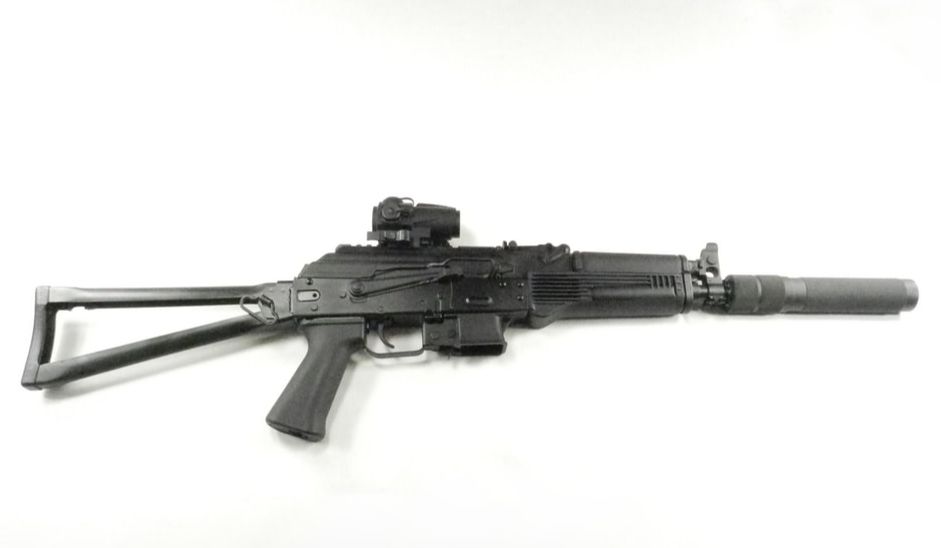 Kalashnikov KR-9S without butt pad 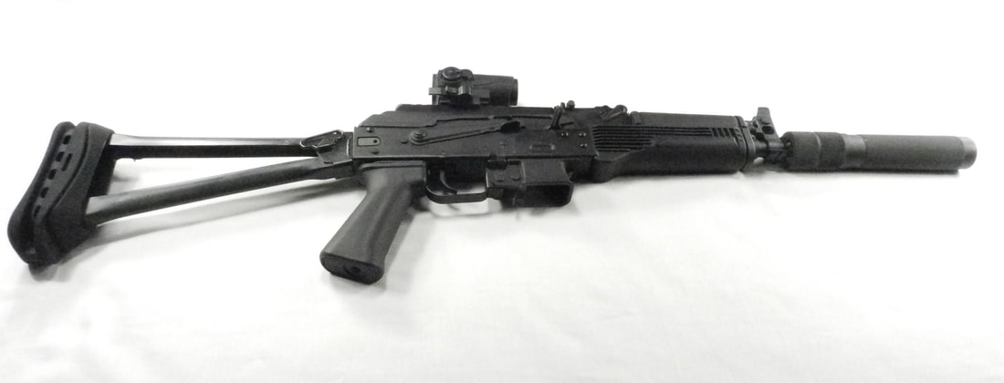 Kalashnikov KR-9S with butt pad If you want more details about the KA KR-9 stock butt pad you can find it here: https://kalashnikov-usa.com/product/rubber-butt-pad TAC Chamber Flags These days we seem to be doing more activities with a wider variety of shooters at the range – and that means more varied experience - from novice to expert. That, coupled with the increased focus on firearms safety by many ranges, led us to reexamine our “Safety Items” gear; which was why our last blog was about dummy rounds. During our relook we also decided to add a few more, and better quality, chamber flags to our gear. We’ve always had a few flags sitting around, and used them when appropriate – but they were always a hodge-podge since we acquired them when we purchased a firearm or had a gunsmith work on our rifles/carbines. Some were good and some were not great. 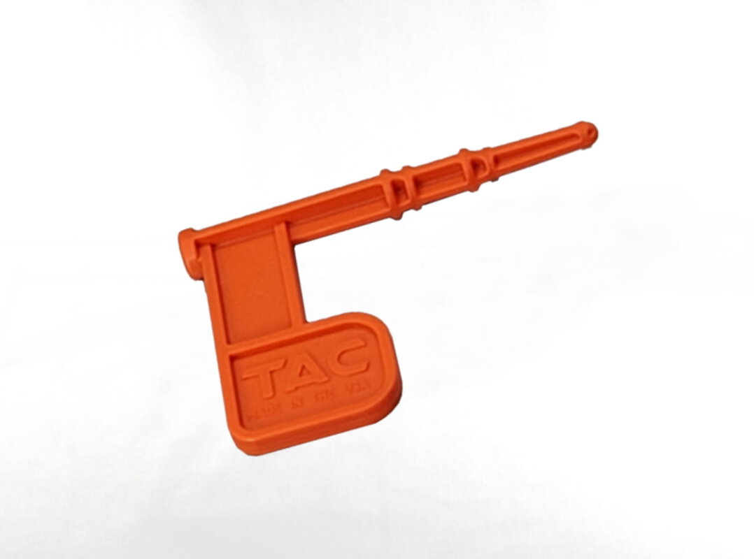 So, first of all, why do you even need chamber flags and when should you use them? Chamber flags are small, inexpensive items (normally made of plastic so that they are strong but won’t damage your firearm) used as an additional safety measure while storing and/or transporting firearms. All that you have to do is place a flag in the firearm’s empty chamber to provide a visual confirmation that the chamber is clear. Normally this is done after the magazine has been removed so that the firearm is totally safe – meaning there is no live ammo in the chamber and no magazine inserted into the mag well – so there is no live ammo anywhere close to the firearm that could be accidently fired. In certain cases chamber flags can even be used when storing a loaded firearm. The procedure to safely do this is as follows:
So, since they’re inexpensive, and are becoming more prevalent on ranges, we searched the internet to find some chamber flags that met our standards. They had to: 1) fit into a variety of firearms from handguns to rifles, 2) be strong enough that they didn’t easily break, 3) visibly protrude from the chamber and 4) be a color that was highly visible. Our internet search confirmed what we suspected from what we’ve seen people bring to the range – there are lots of chamber flags out there – and many of them are crap. Eventually our search led us to Team Accessories Corporation (TAC); a group of seasoned veterans, highly skilled machinists, and manufacturing personnel with the mission of providing exceptional American-made gear – so we purchased orange chamber flags from them. The TAC chamber flag is constructed out of an injection-molded semi-rigid polymer to ensure durability and light weight. It’s designed to provide immediate visual recognition of an “empty” chamber on most firearms - including semi-auto handguns. With the high visibility colors of orange or yellow (we prefer orange because we find it to be the most visible), you should be confident in knowing your firearm is safe to handle.
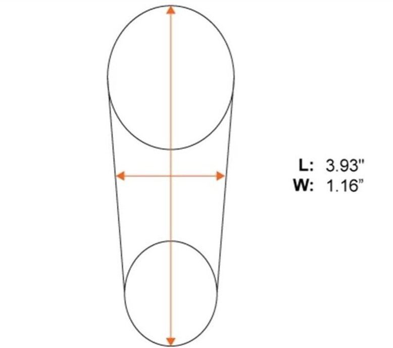
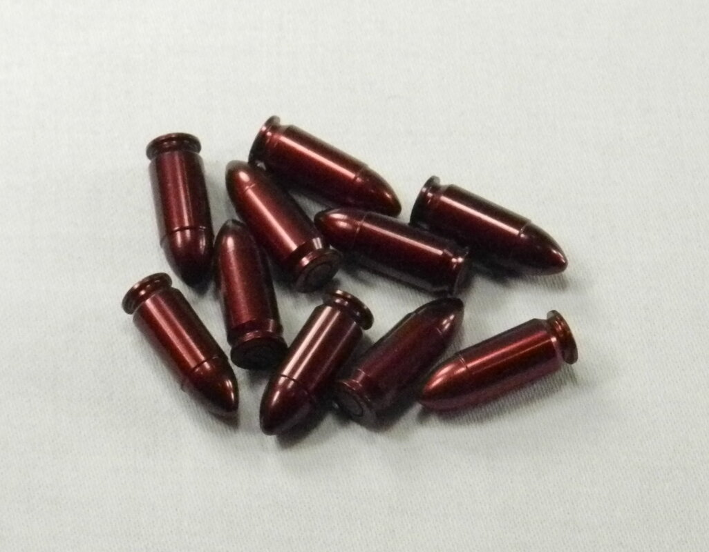
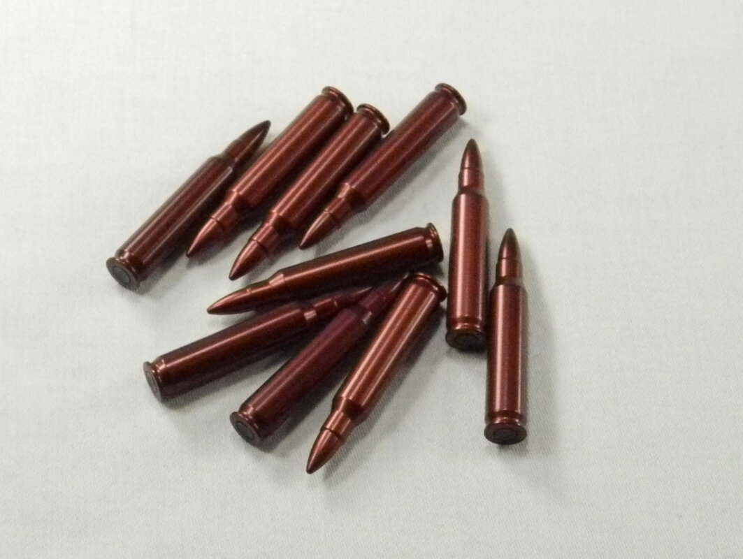
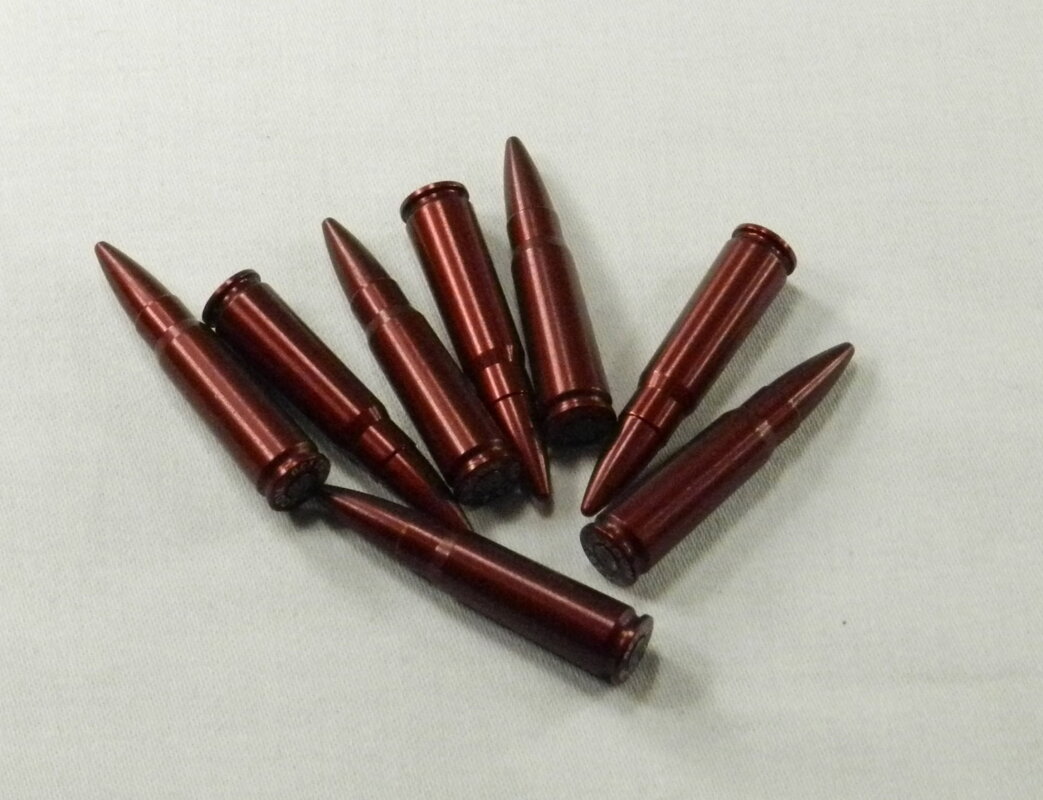
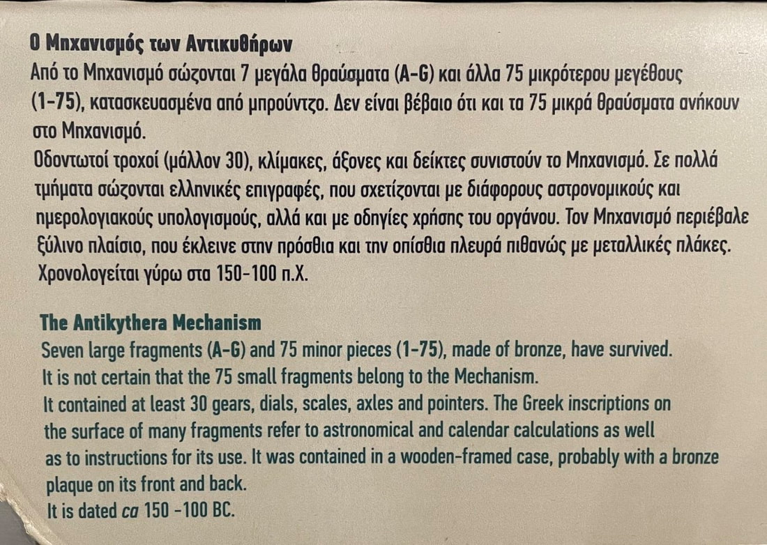
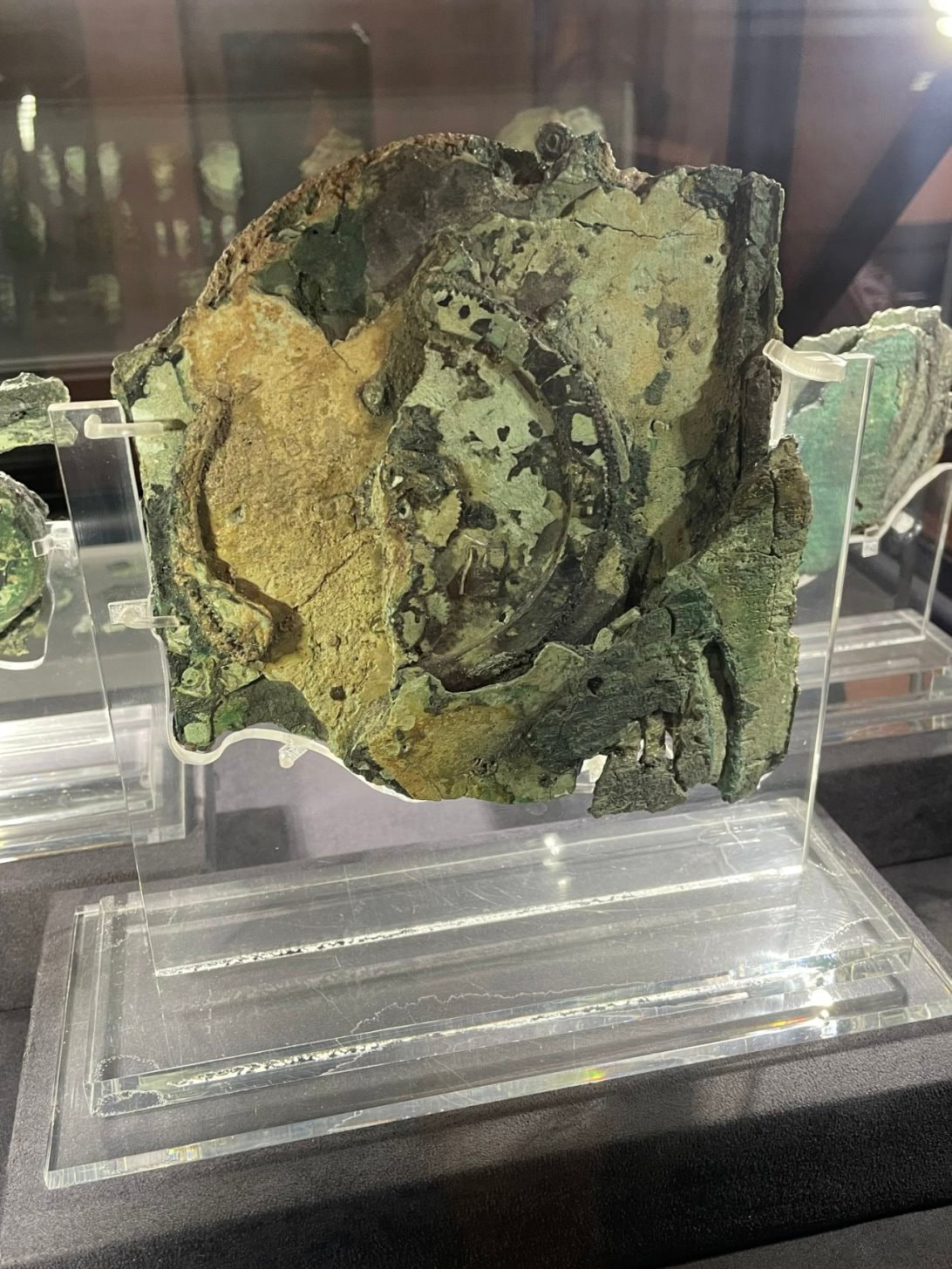
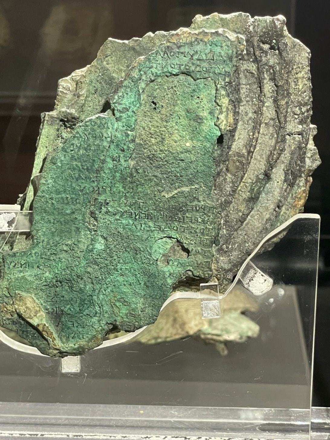
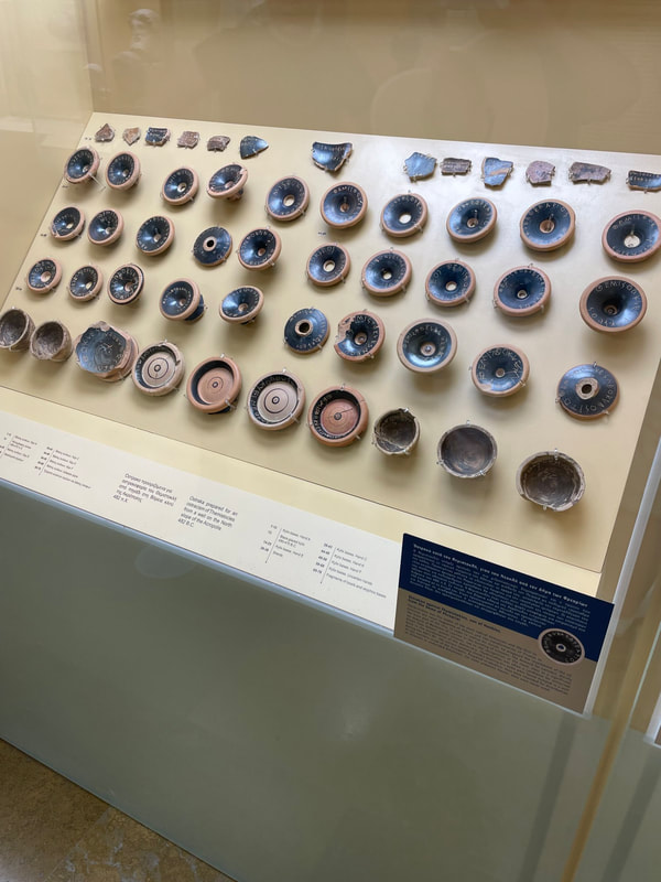
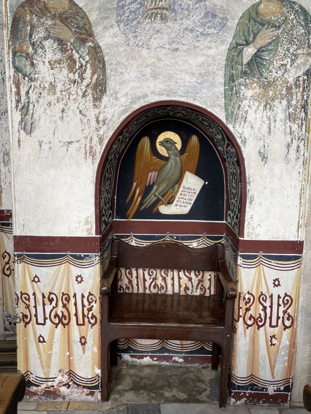
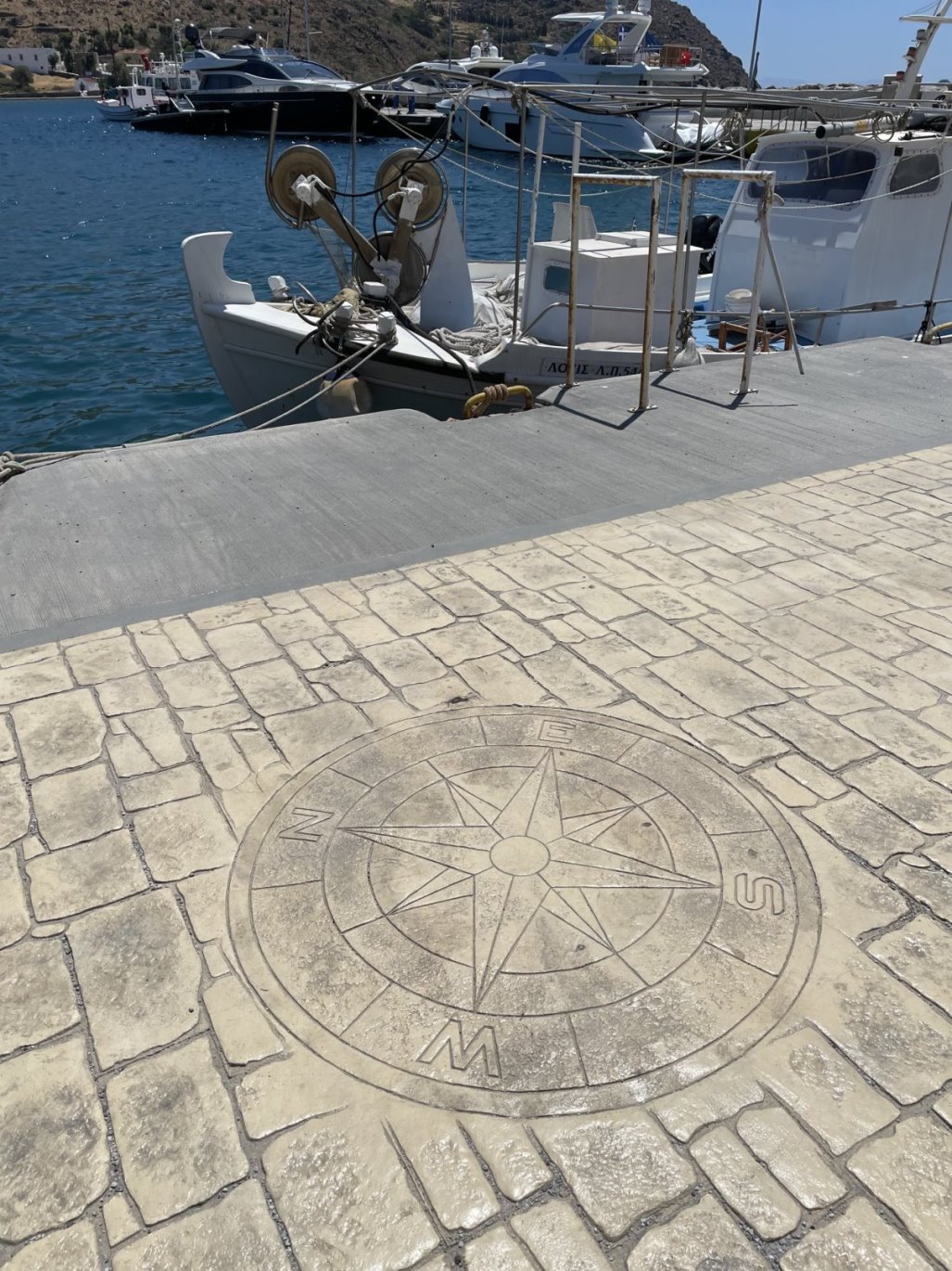
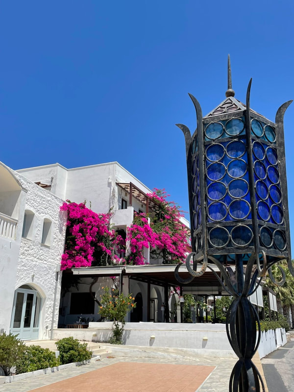
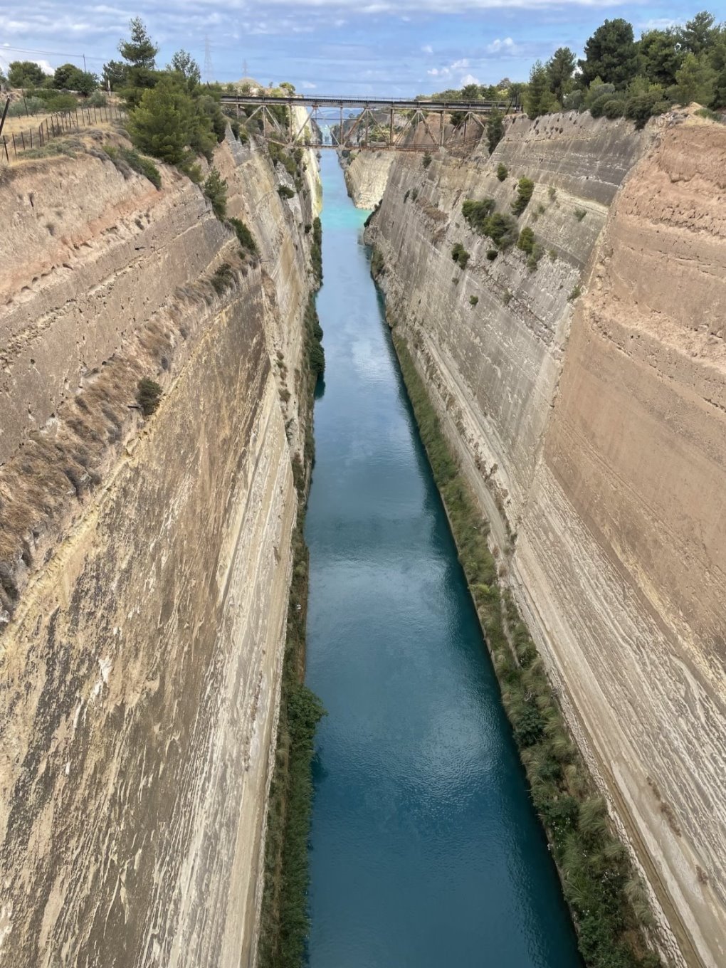
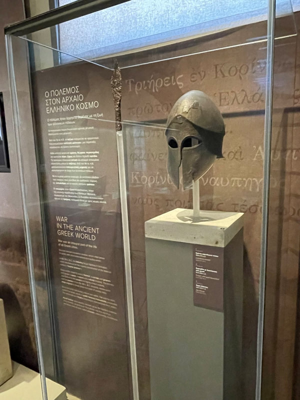
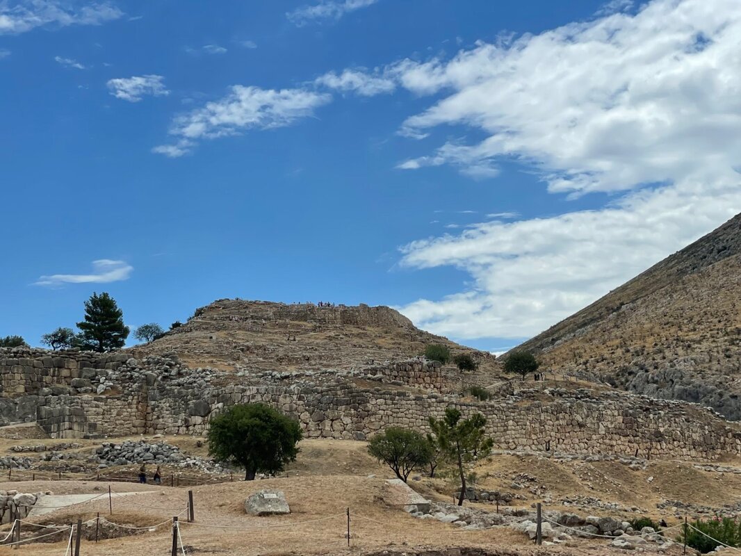
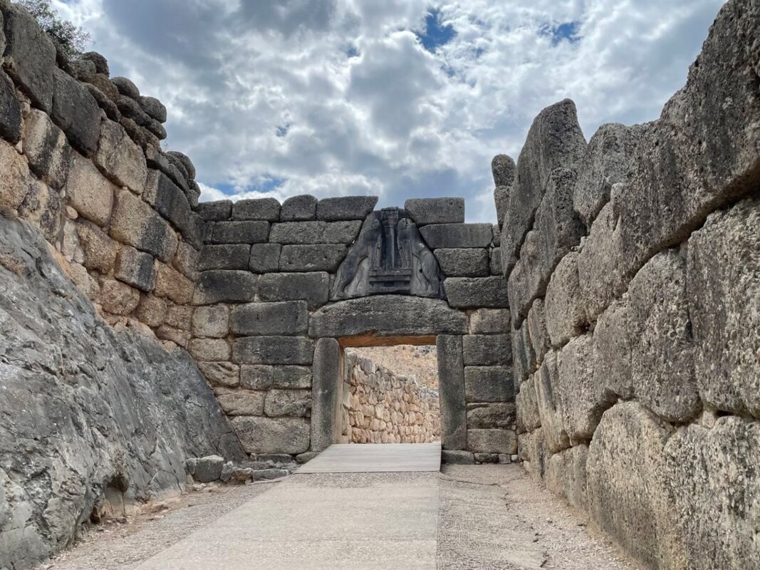
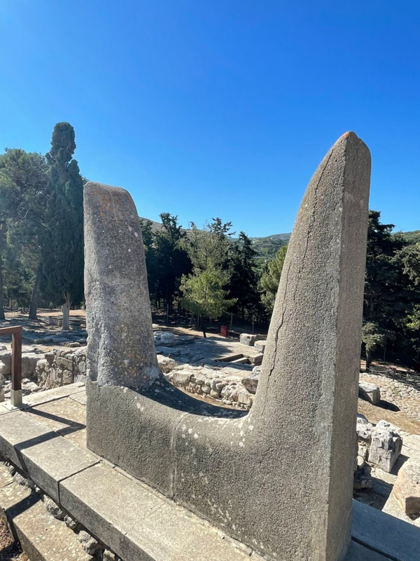
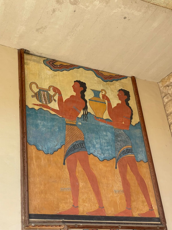
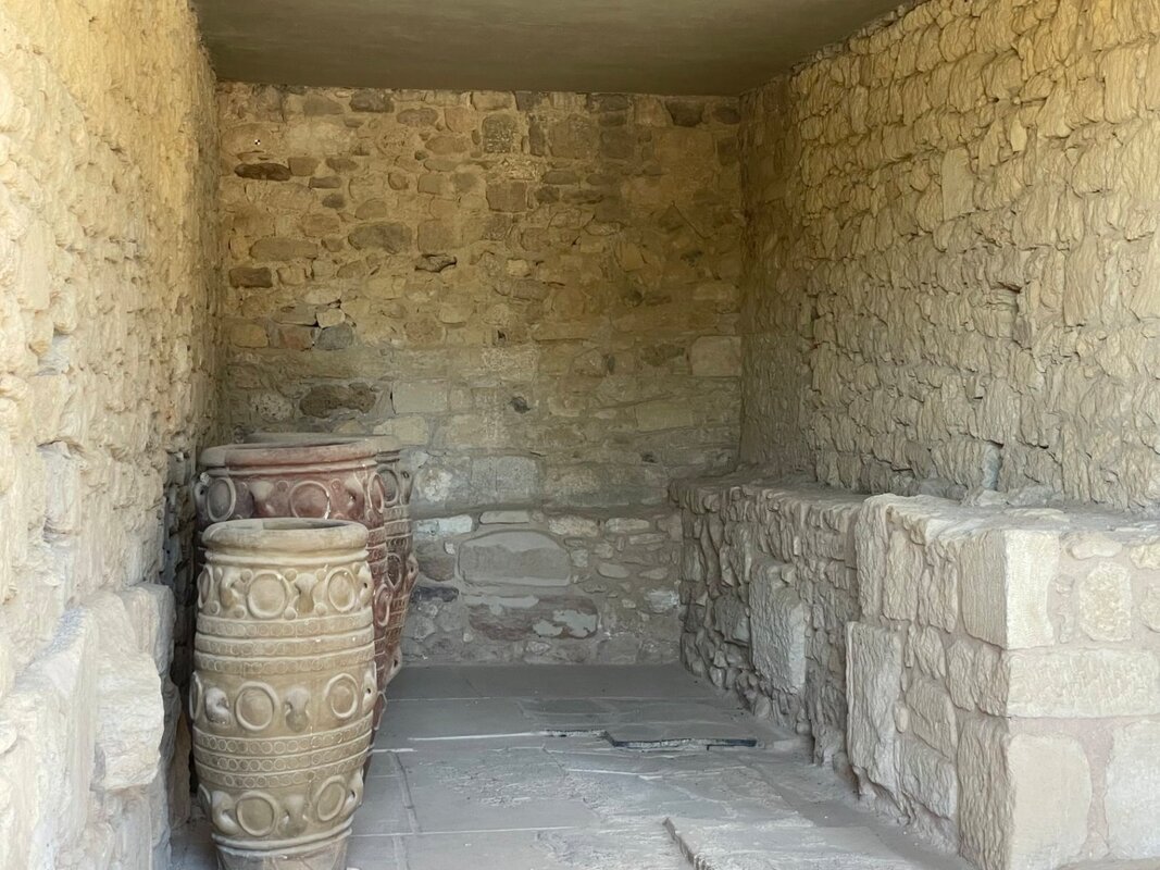
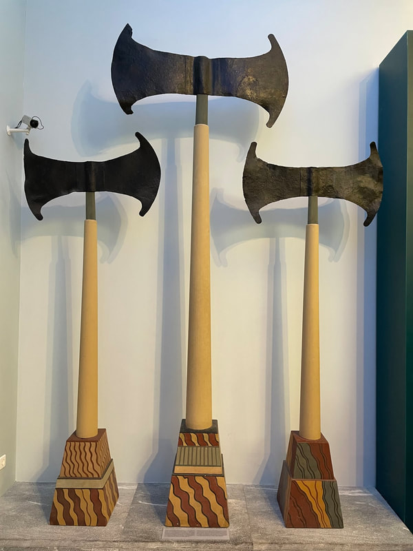
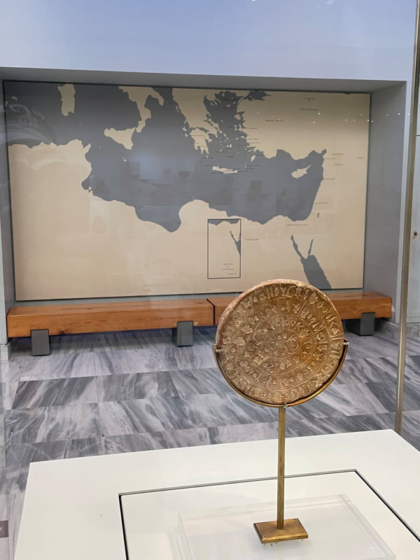
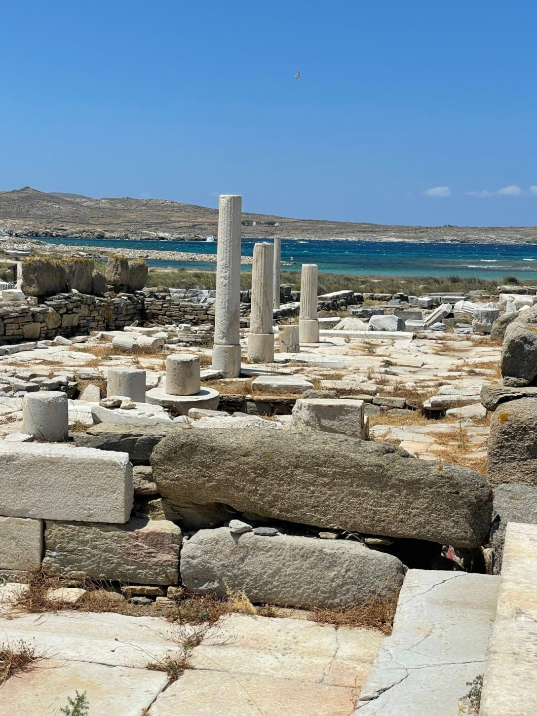
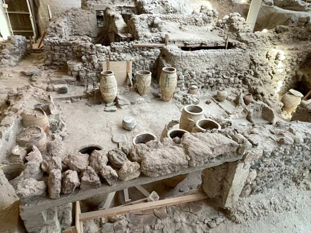
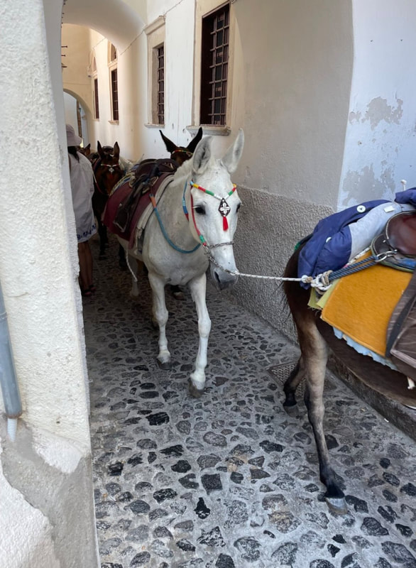
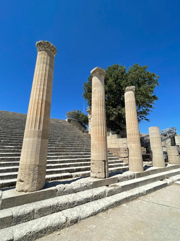
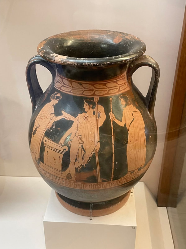
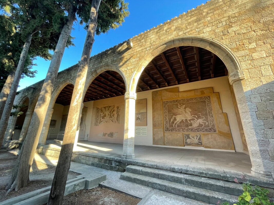
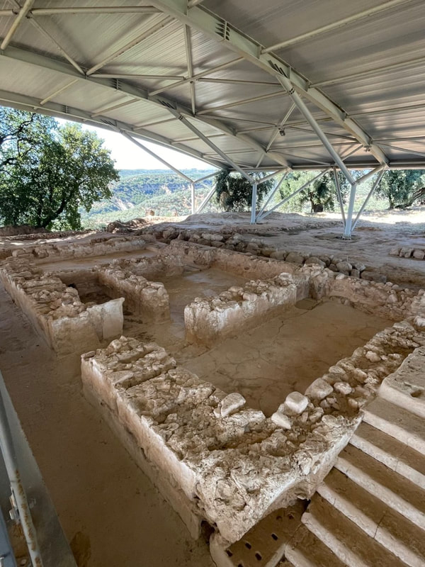
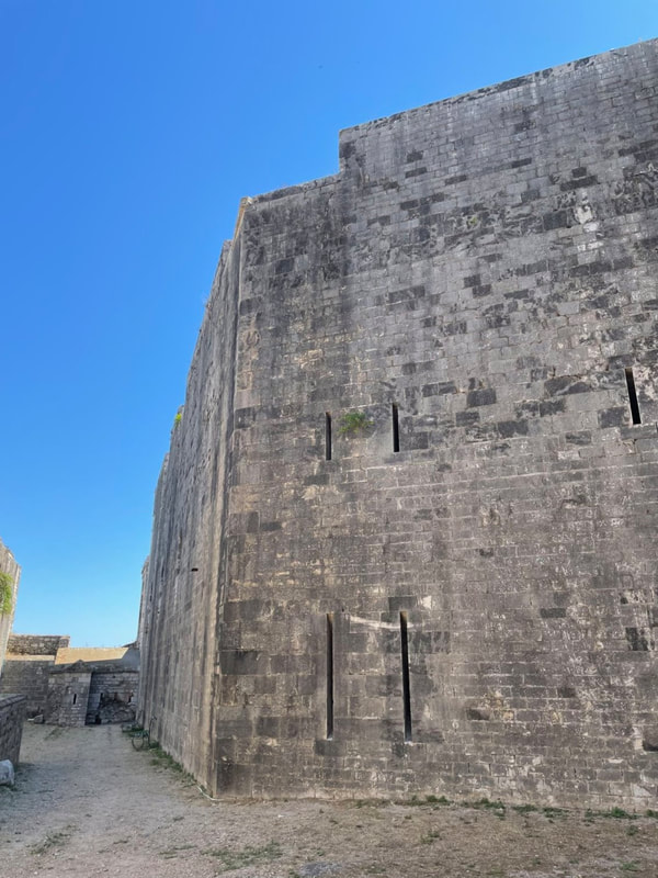
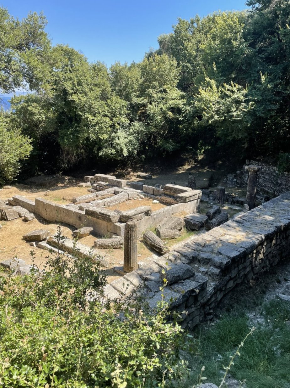
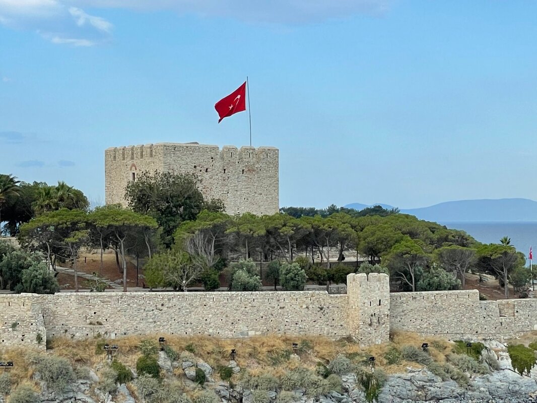
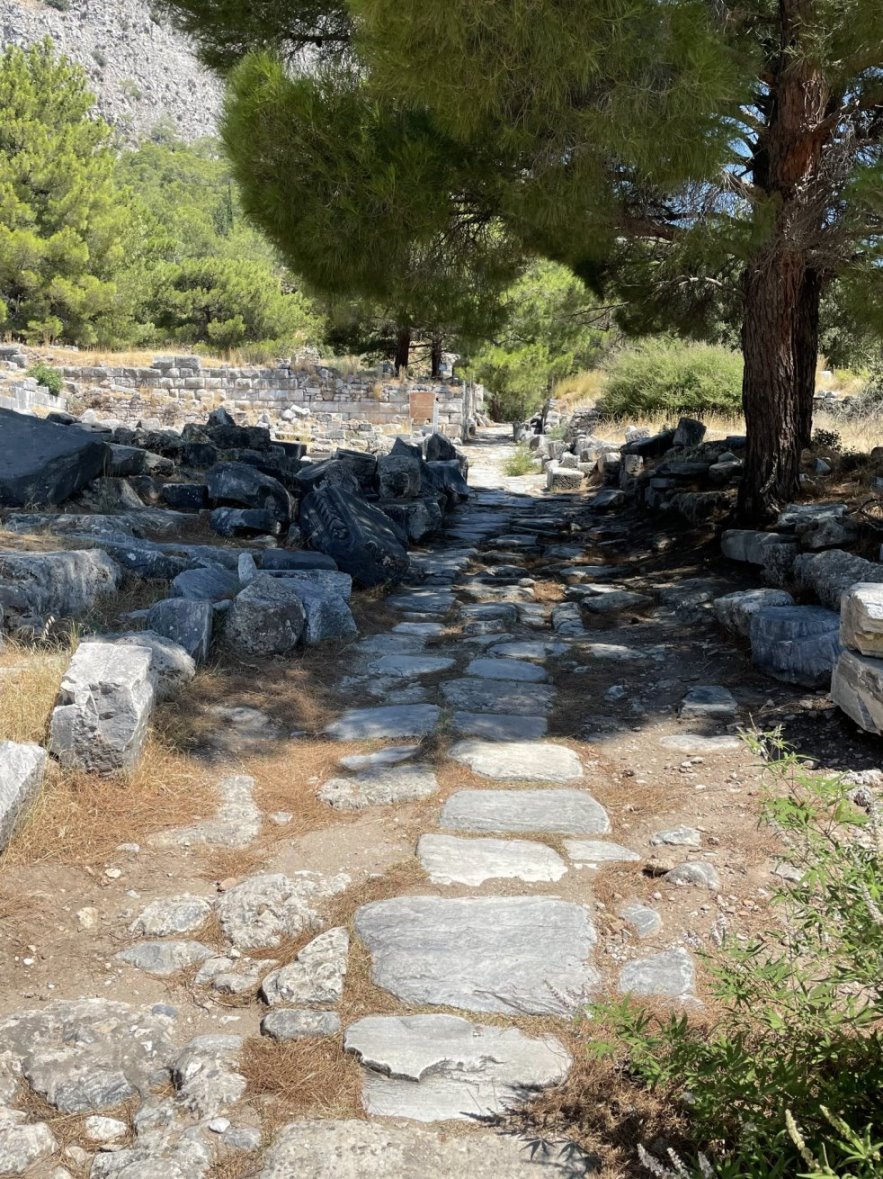
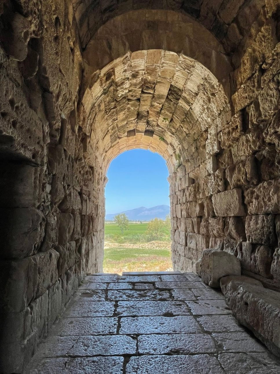
If you want more details about the TAC chamber flags you can find it here: https://www.teamaccessoriescorp.com/shop/chamber-flag A-Zoom Precision Snap Caps As you spend more time shooting you begin to run into two important areas: 1) practicing for a variety of non-standard situations and 2) disassembling/cleaning your firearms. In both of these situations you will find that there are times that you need to ensure that live ammunition is not present – but you need to have a round cycle or want to simulate a malfunction. Luckily there are products on the market to fill these needs; “dummy rounds” (sometimes also called “inert training rounds”). In fact, there might be too many products on the market since there are a huge variety of options. If you search the internet you will find that dummy rounds come in a wide variety of calibers and materials (e.g. metal, plastic, brass and plastic, spring-loaded, etc.,) – and have a wide range of features. But all of them are essentially designed to mimic the weight and feel of a live cartridge while being completely inert and safe. In addition, most of them have brightly colored bodies and/or faux projectiles so that they are easily identifiable as from live rounds. On the training front, since dummy rounds mimic the shape and weight of your live ammo, you can safely practice malfunction and reloading scenarios, which are important to refining your shooting skills since they actually occur when shooting live ammo. For people that have never held a gun or loaded a magazine, dummy rounds are a great tool for safely learning the processes. You can also use dummy rounds safely in your house/apartment when working out a home defense plan or practicing your aiming, firing and drawing techniques. While most modern firearms can handle thousands of dry fire trigger pulls, having something for the firing pin to strike against can help extend your firearm's life. When cleaning your firearms once you have disassembled, cleaned and reassembled the weapon it’s a great idea to check to make sure that everything functions properly. Here’s another good place to use dummy rounds since using live ammunition to load, chamber and clear a firearm after it has been taken apart and put back together is not ideal. Dummy rounds are also a great tool for adjusting and tuning your trigger pull. Based on our training experiences and additional research, we decided to purchase A-Zoom “Snap Caps” – which is probably the leading product in this area. Snap Caps are CNC machined to precise cartridge dimensions from solid aluminum, then anodized with a hardcoat finish. Their patented "Dead Caps" are advertised as providing unlimited dry fires with no firing pin damage. Snap Caps are available in over 120 sizes from .22 Hornet to the .50BMG and can be used for thousands of dry fires without damage (the most prevalent estimate being 3,000). Because we mainly shoot 9mm, 5.56/223, 7.62x39 and 12 gauge we purchased Snap Caps in all four of these sizes. If you want more details about the A-Zoom Precision Snap Caps you can find it here: https://www.lymanproducts.com/brands/a-zoom 28 Days in Greece, Turkey and Venice Well, we’ve been back from our European trip for a few days, so we’ve caught up on our sleep, unpacked, sorted everything out and taken some time to review our adventures. During the 28 days we hiked 198.75 miles (419,757 steps – an average of 7+ miles each day) – seeing marvelous sights every step of the way.  We visited 5 of the 13 Greek peripheries (e.g. provinces/states) - which included 7 different islands:
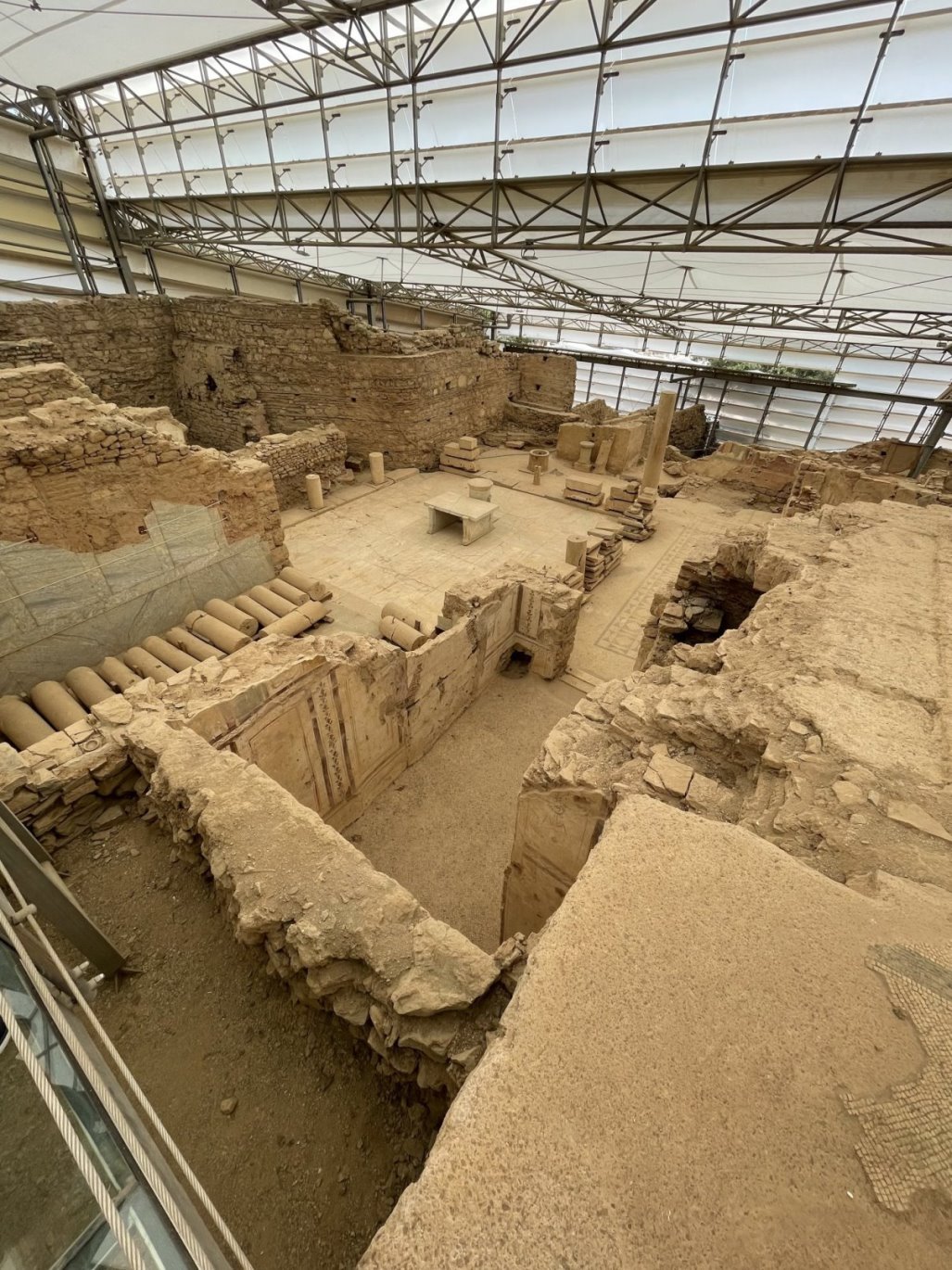
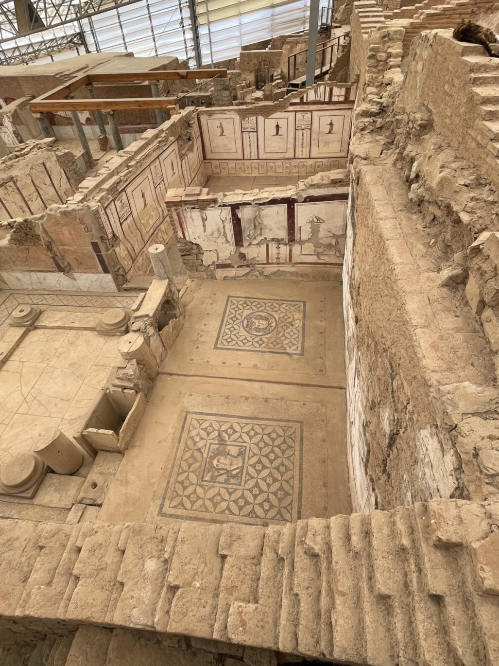
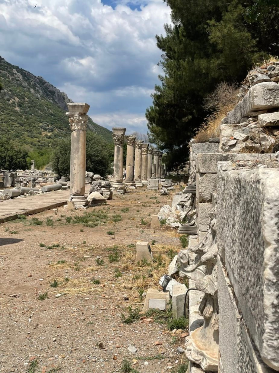
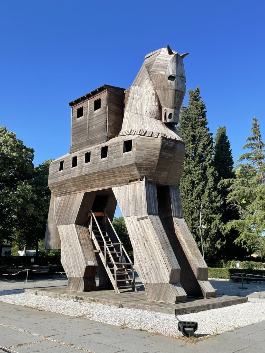
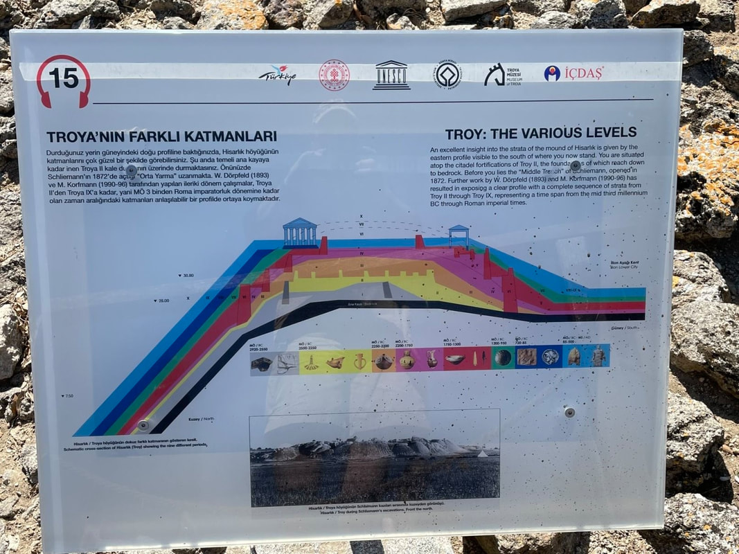
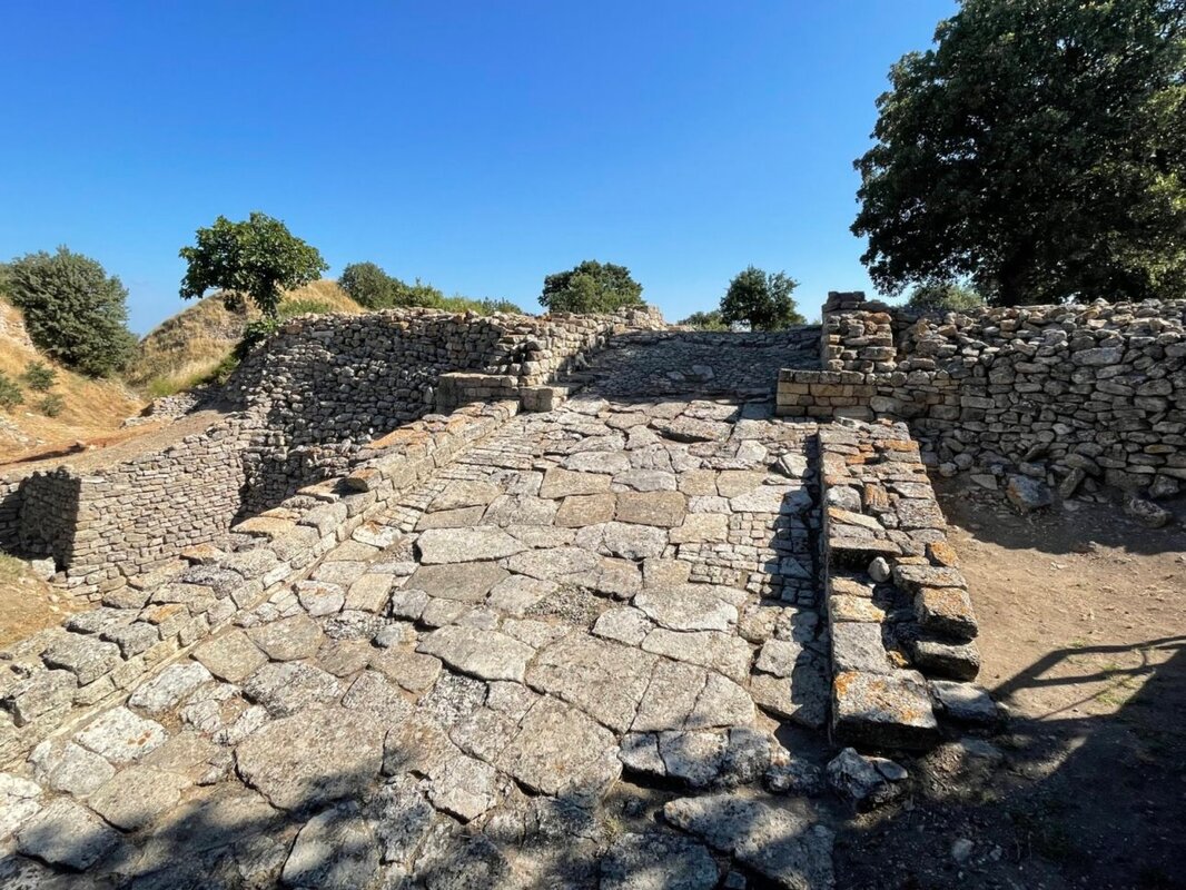
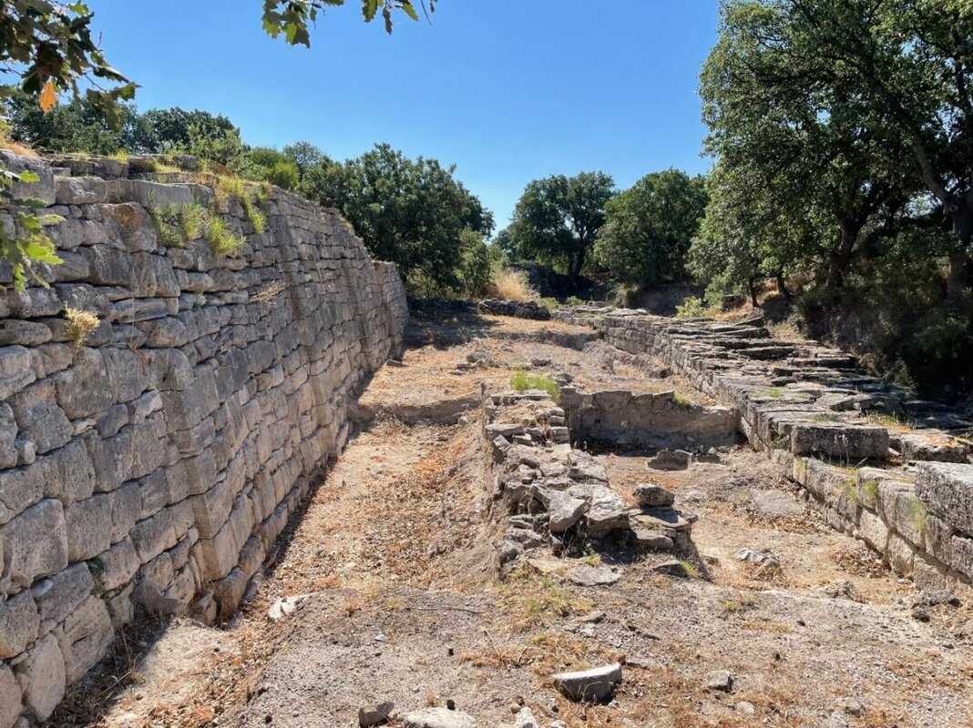
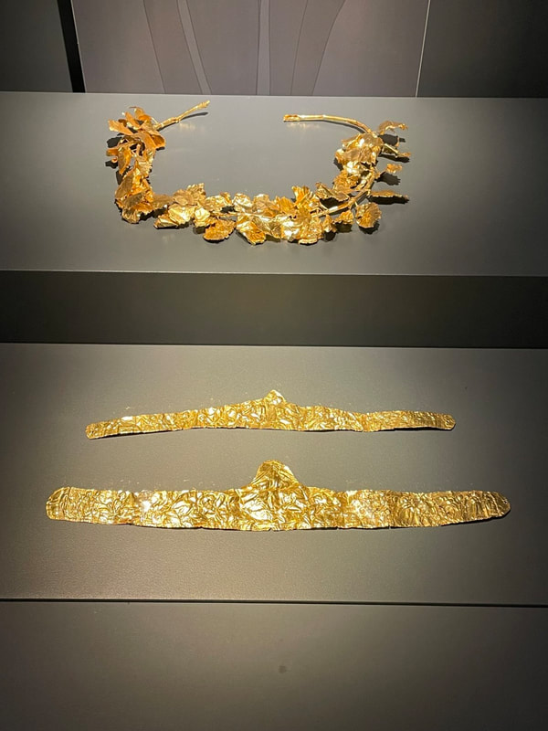
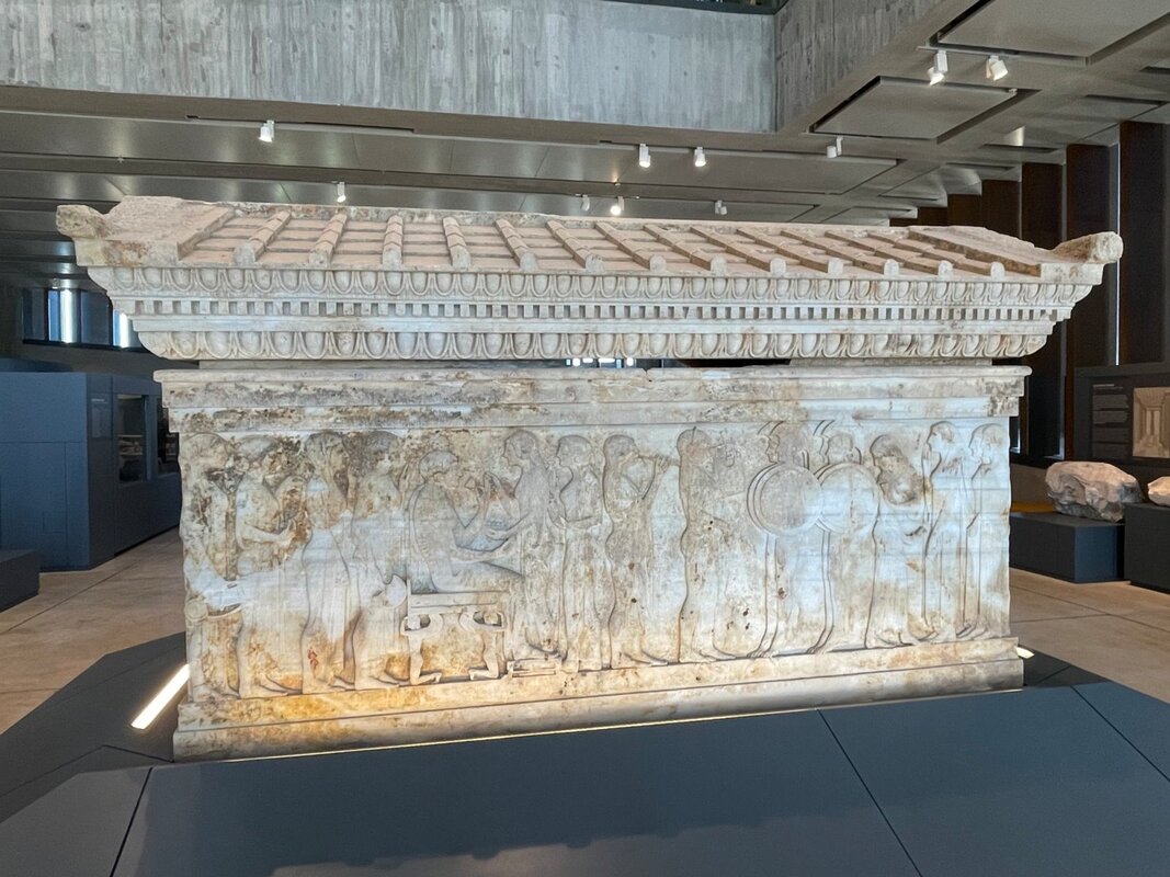
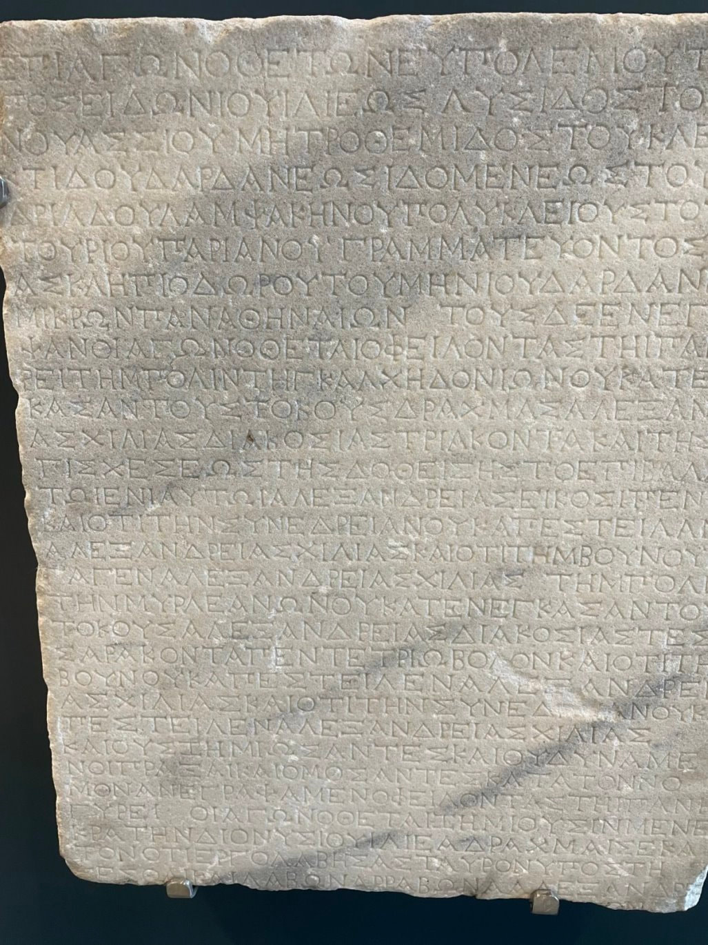
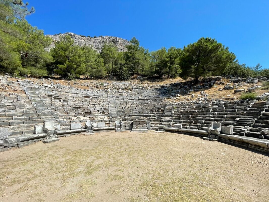
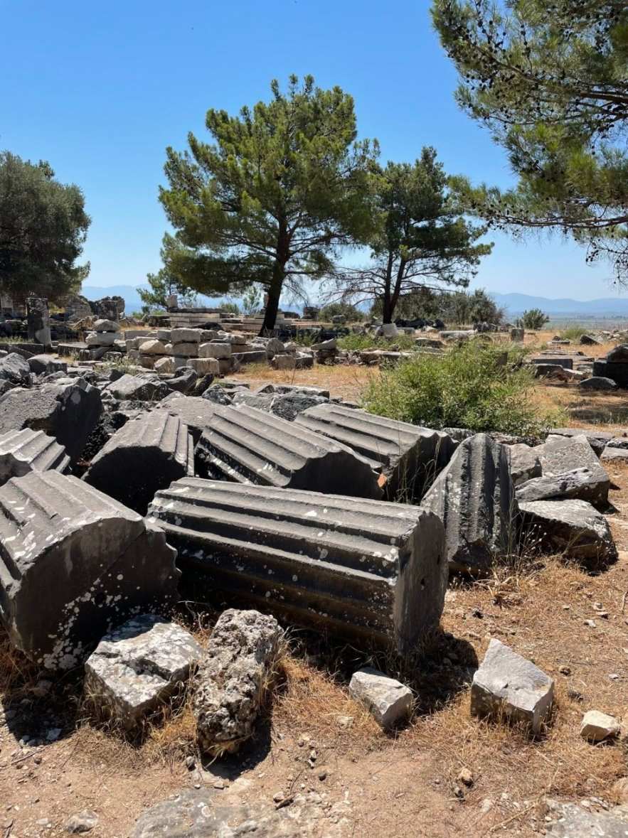
We visited 9 cities in Turkey where we saw a wide variety of “Classical” Greek, Roman and Ottoman sites:
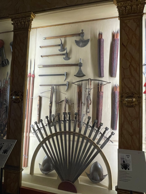
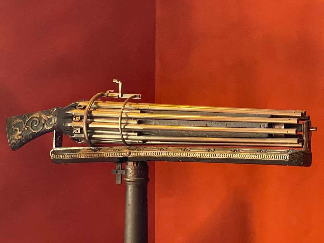
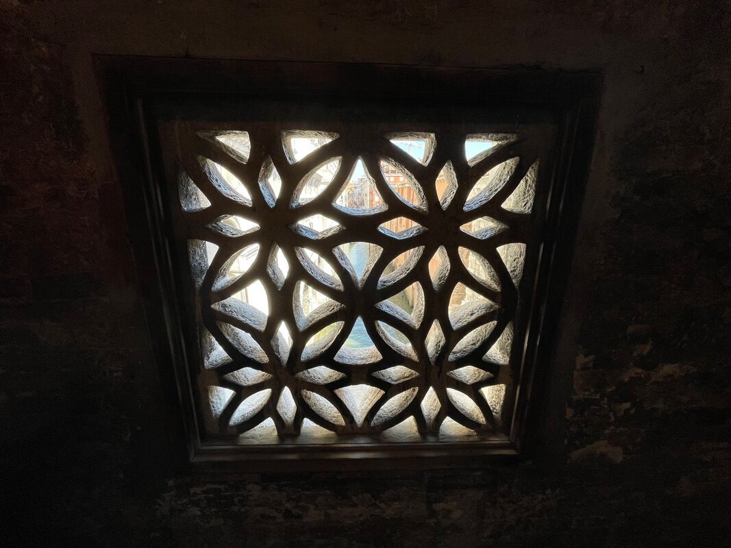
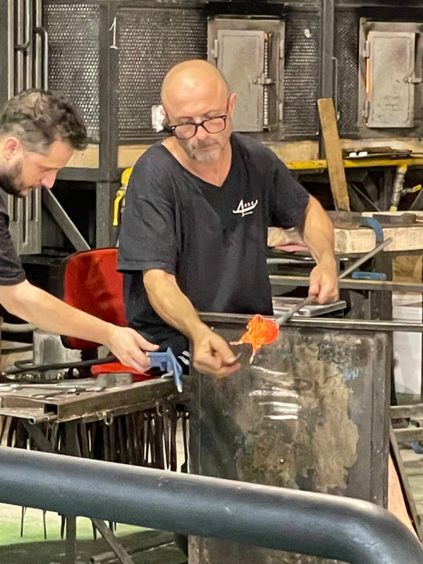
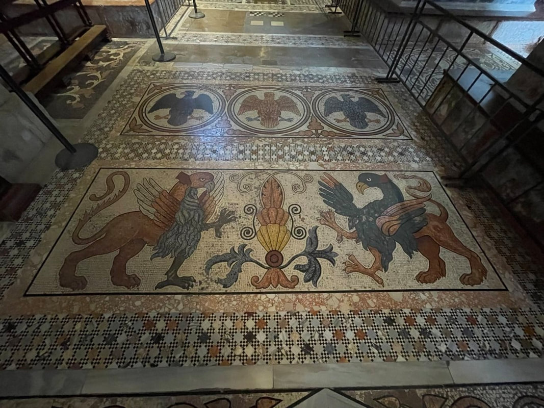
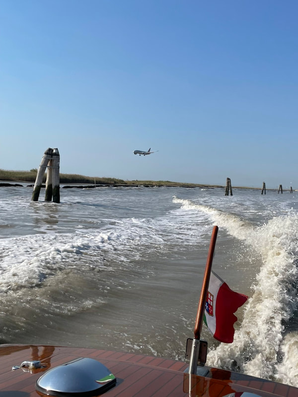
And we got to end our trip by spending three action packed days in Venice where we visited all sorts of fabulous sights to include:
Needless to say every day was filled new wonders. To me some of the most amazing were:
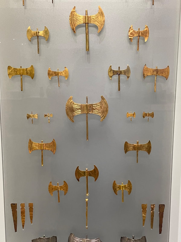
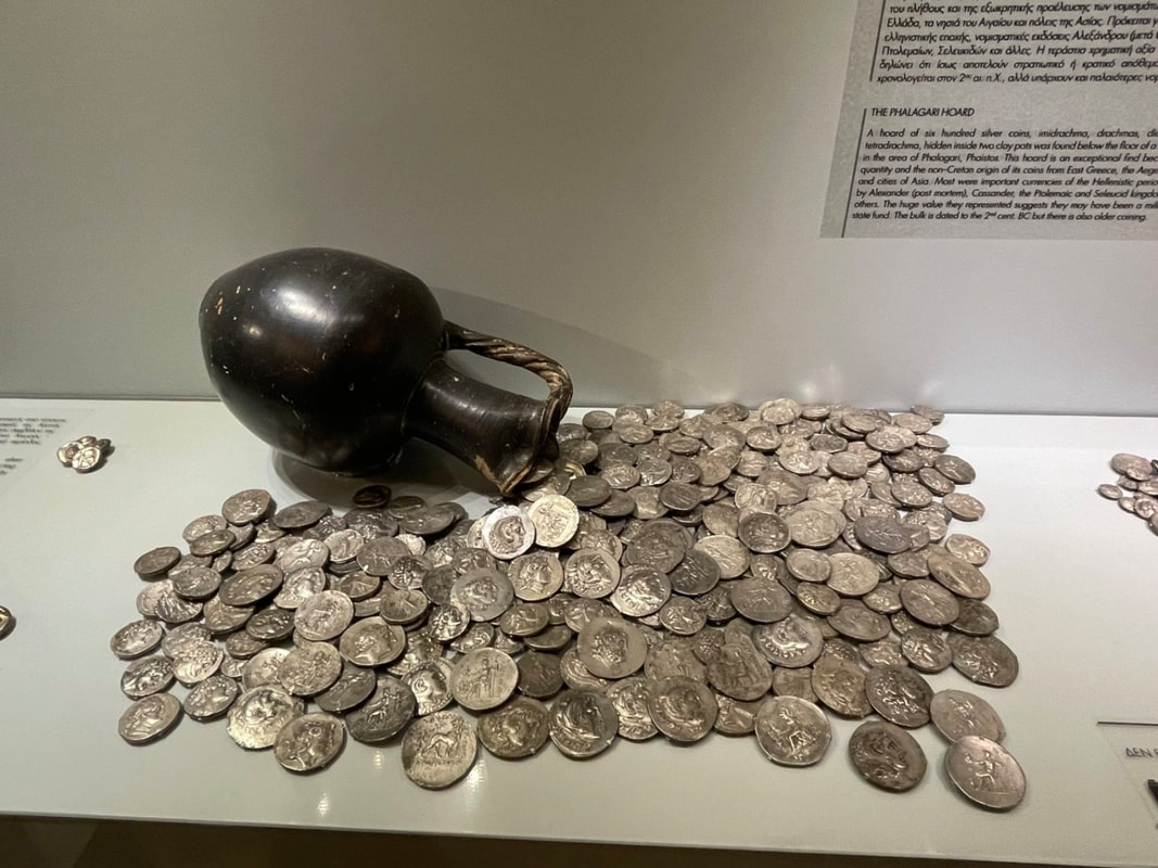
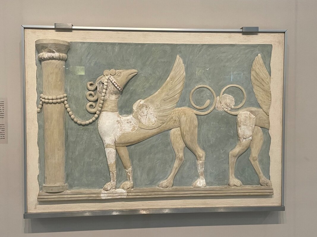
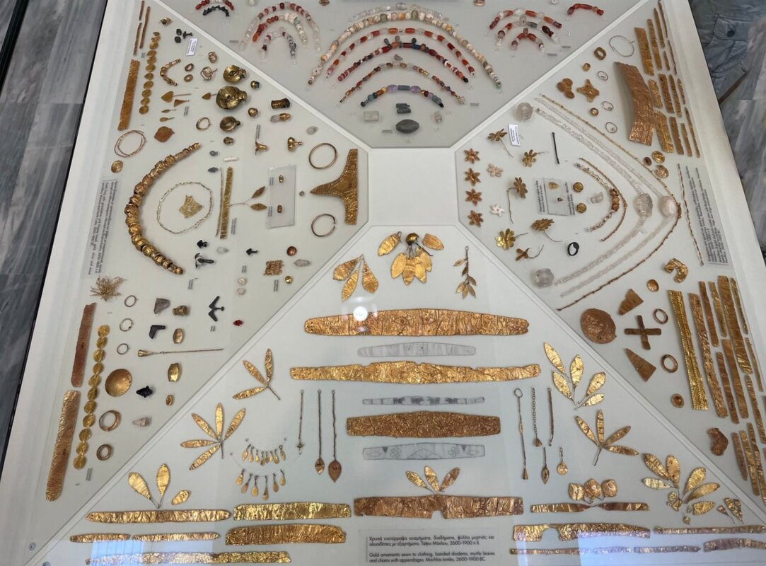
There was so much to see that it was almost overwhelming....... Here are a few photos from our trip. As always, I'll post more photos on the “Adventures/Europe” page when I have a chance to review and edit the 4,700 photos that I took. Athens, Greece (click on any photo to start the slideshow): Syros - Agios Nikolaos - Patmos, Greece (click on any photo to start the slideshow): Corinth - Mycenae - Nafplion - Knossos - Heraklion, Greece (click on any photo to start the slideshow): Delos - Mykonos - Santorini - Rhodes, Greece (click on any photo to start the slideshow): Pylos - Corfu, Greece (click on any photo to start the slideshow): Turkey (click on any photo to start the slideshow): Venice, Italy (click on any photo to start the slideshow): Lowe Alpine Edge 18L Day Pack Although we have a great bag that we always have packed to take to the range with us for all of our critical shooting gear (a Blackhawk! Sportster Pistol Range Bag), sometimes we need to take a few other items with us too. Things like a hat, water to keep hydrated, snacks, paperwork, and various other odds and ends. So, instead of continuing to use our hiking day pack, we finally got around to looking for a reasonable sized pack that we could easily strap on if we needed to take along, or carry, some extra gear to the range or during shooting activities. 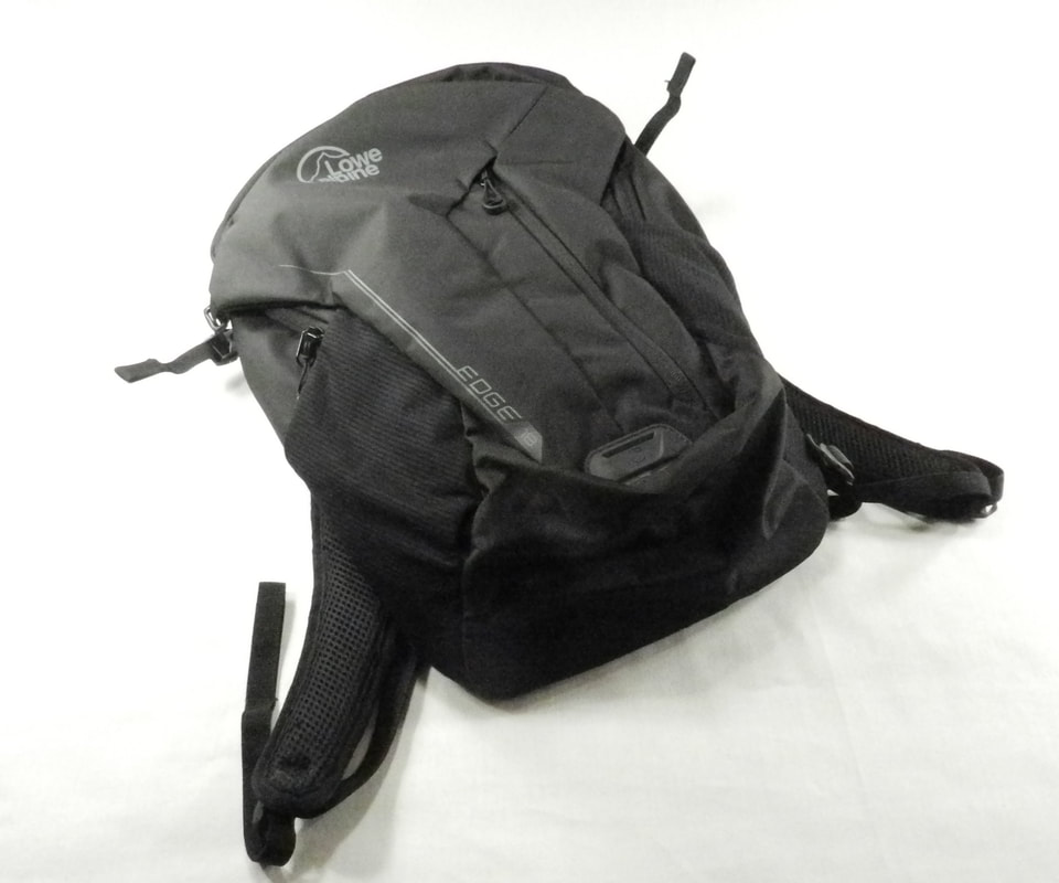 The first consideration when purchasing a pack is the size of the pack (meaning the volume of stuff that it can carry). The standard way of measuring the carrying capacity of a backpack is to load up all of the compartments that can be completely sealed by zippers/Velcro/ties/clips with 20mm diameter plastic balls (~3/4” balls). Following this, all of the balls are poured out into measuring containers. Here’s a small table showing the nominal sizes and uses of the gamut of backpack sizes.  For our needs we chose to go right in the middle of the “Day Packs” – and looked for packs that were approximately 20 liters (1,200 in3) in size. After roaming the internet for a while to check out the wide variety of options, we purchased the “Lowe Alpine Edge 18” pack. The pack can carry 18 liters – so it carries a fair amount – but isn’t too bulky. The pack has lots of great features that make it very versatile for lots of uses – both when strapped onto your back or when you just throw it in the car:
We also like the pack’s breathable “Air Contour” carry system that has venting channels and a new harness yoke that make wearing it more comfortable. The Edge 18 weighs 1lb 2oz (0.52kg) and measures 17.75 x 11 x 9 inches (45 x 28 x 23 cm) . If you want more details about the Lowe Alpine Edge 18 pack you can find it here: https://rab.equipment/us/backpacks/day-packs A&D Medical UA-611 Upper Arm Blood Pressure Monitor As mentioned in our last blog, a couple of weeks ago I got into a discussion with a friend of mine who’s an EMT about the type of gear that you should have for emergency and disaster preparedness situations. As we discussed all of the items that we have in our “just in case” kit there was one item that he mentioned that I had never really considered – a blood pressure monitor.  My friend’s point was that in many situations a key indicator of a person’s immediate health status, especially after an accident, is their blood pressure and heart rate (e.g. pulse). He said that in his line of work knowing these facts about a person often indicate how critical their situation is and how quickly the EMTs need to act. To state the obvious – blood pressure issues come in two varieties: high blood pressure (hypertension) and low blood pressure (hypotension) – and there’s a well-established range of normal blood pressure for nominal health. 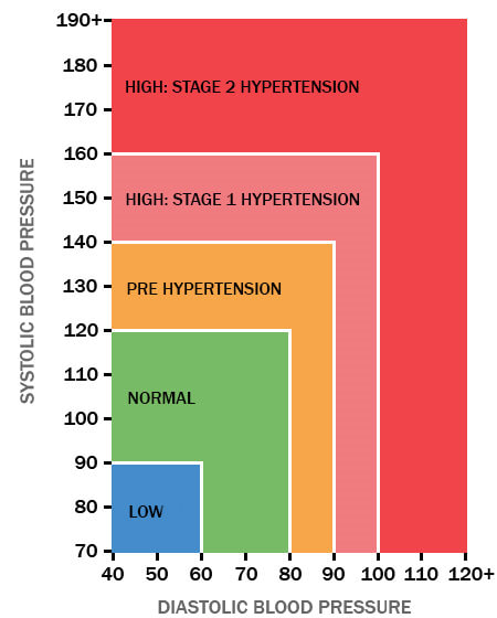 After a traumatic experience your body can react in a variety of ways. This may include injuries that are visible to you, but incidents can also have an impact on your internal systems and their functions. One high-level indicator of potential problems is high blood pressure. Blood pressure that is unusually high after an incident can be the result of a wide range of causes. Immediately after an incident it is not unusual to see a temporary spike in blood pressure. In response to stress or trauma, your body releases stress hormones into the bloodstream, including adrenaline. This can initiate a “fight or flight” response. Adrenaline also causes a temporary spike in blood pressure as your heart beats faster and blood vessels begin to narrow. Normally this spike will go away after a short period of time. With regards to high blood pressure not directly related to a specific incident, most people actually have no symptoms of hypertension – but some items to look for are:
On the other hand, low blood pressure, means that the pressure of blood circulating around the body is lower than normal, or lower than expected given the environmental conditions. With respect to emergency situations, the main causes of low blood pressure include blood loss (from either external or internal bleeding), dehydration, allergic reactions and infections. Low blood pressure can have a negative impact on the body. For example, vital organs (particularly the brain) may be starved of oxygen and nutrients if your blood pressure is too low. Symptoms of low blood pressure include:
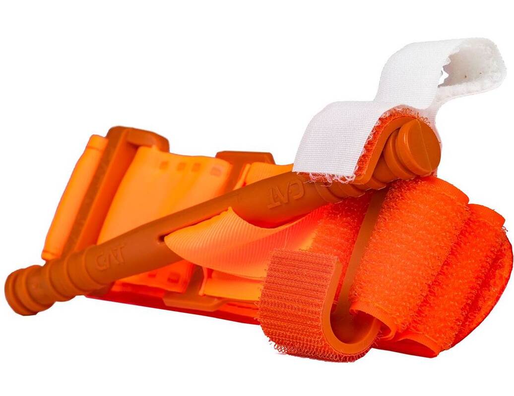
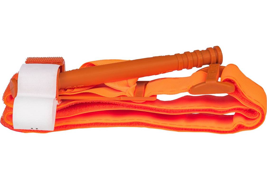
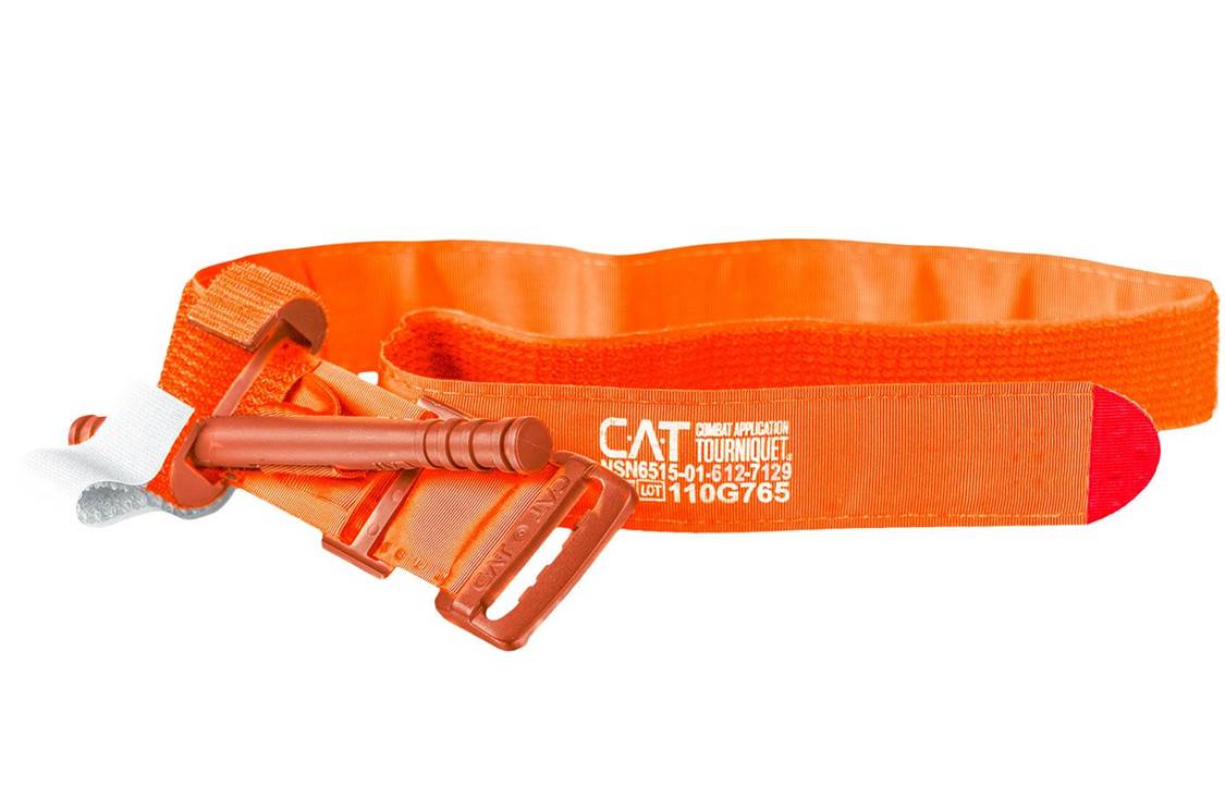
So, based on our discussions, I decided to add a blood pressure monitor to our Disaster Preparedness kit. There are a wide range of these devices on the market ranging in price from $25 to $150. Since we were not adding a monitor for everyday use, we looked at the features that my friend recommended and focused on: 1) device quality and accuracy, 2) automated functionality, 3) clear readout display, 4) ability to measure systolic (top number) and diastolic (bottom number) blood pressures and heart rate. After some online research we purchased the A&D Medical UA-611 Upper Arm Blood Pressure Monitor since it met all of our criteria and was reasonably priced. The monitor has a one button control, comes with a latex-free/metal-free upper arm cuff, an easy to read display and an irregular heart beat (IHB) indicator. We’re not sure how often we’ll use the device – but my friend convinced me that it was worth having one in hand – so we’ve added it to our Disaster Preparedness gear. 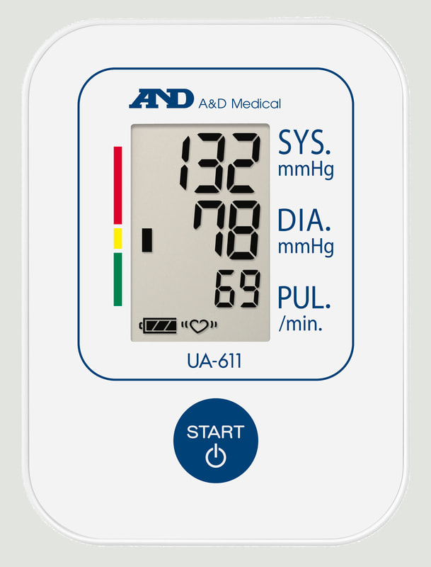 If you want more detail the A&D Medical UA-611 upper arm blood pressure monitor you can find it here: https://medical.andprecision.com/product/ua-611/ North American Rescue Combat Application Tourniquet (C-A-T) Last week I got into a discussion with a friend of mine who’s an EMT about the type of gear that you should have for emergencies where a victim is severely bleeding, and we spent a fair amount of time discussing the importance of tourniquets. Because the data (especially the data from the US military in Iraq and Afghanistan where IEDs were prevalent and body armor decreased the number of immediate deaths) shows that using tourniquets can have a significant impact on saving the lives of wounded people, I thought that I would lay out the facts in this blog. For years the approach to treating people in trauma situations was ABC (Airway, Breathing, and Circulation), but over the past 20 years the priority order for lifesaving treatments in emergency situations has transitioned to MARCH (Massive Hemorrhage, Airway, Respiration, Circulation, Hypothermia/Head Injury). So these days, upon arrival as you evaluate the person for trauma, the most notable, life-threatening condition is massive hemorrhage. Massive hemorrhage can kill people faster than an airway complication, because we don’t have much blood in our bodies in the first place (~5 liters is the average). Depending on the location of the wound, direct pressure, pressure dressing, wound packing (with or without a hemostatic agent) or tourniquets are the immediate field solutions to the problem. “The breakthrough paper that resulted was published in a 1996 issue of Military Medicine and ushered in the dawn of Tactical Combat Casualty Care (TCCC). TCCC launched a total reassessment of best practices in casualty management on the battlefield because of the penetrating wounding patterns found there. With 60 percent of preventable combat deaths identified as extremity hemorrhage, 33 percent as tension pneumothorax—a life-threatening chest injury— and 6 percent as airway obstruction, TCCC shifted the treatment priority from the standard prehospital protocol of airway management first to controlling the massive hemorrhage due to extremity trauma. This change meant that something as simple as applying a tourniquet could potentially save many lives on the battlefield. Military research began to focus on identifying a standard-issue tourniquet that was safe, effective, easy-to-apply and ruggedized for austere environments.” - North American Rescue - Winter 2012-2013 by Ricardo Flores Following the discussion with my friend I happened to have another similar discussion with a Navy Pararescue specialist. He reiterated the points covered in my previous discussion and emphasized that at the shooting range and in the back country it is imperative that you carry a tourniquet; and the only one that he recommended was the Combat Application Tourniquet (C-A-T) by North American Rescue - which is now the standard in the US military based on years of studies. “In 2004, the U.S. Army Institute of Surgical Research (USAISR) conducted a study of seven commercially available, off-the-shelf tourniquets for their effectiveness in stopping blood flow with the least amount of pain during application. Three of the seven were 100 percent clinically effective in occluding blood flow. However, USAISR recommended the C-A-T as the primary battlefield tourniquet based on its overall performance—less painful, easier to use, as well as smaller and lighter than the other tourniquets evaluated. In 2008, a study of battlefield data from a combat support hospital in Baghdad published in the Journal of Trauma validated the earlier USAIR conclusions. The C-A-T was identified as “the best combat tourniquet” In 2011, another study published in Military Medicine further validated the earlier studies and continued to hail the U.S. military’s primary tourniquet, the C-A-T, as the safest and most effective combat tourniquet requiring 30 percent less pressure to achieve success.” - North American Rescue - Winter 2012-2013 by Ricardo Flores Because of this discussion we updated our gear by purchasing a C-A-T tourniquet to replace our older gear. The CAT currently on the market is the 7th generation of the tourniquet and is recognized as the fastest, safest, and most effective prehospital field tourniquet available. It has proven to be 100% effective in occluding blood flow in both upper & lower extremities by the U.S. Army’s Institute of Surgical Research. The C-A-T comes in both black and orange. We purchased the orange version so that we can very easily locate it in our kit in an emergency situation. 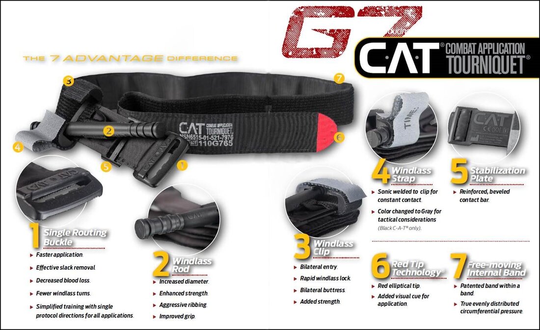 As with all tourniquets the main thing to remember if you have to apply one to a victim is to place it “high and tight” – high above the wound to stop the circulation above the point of bleeding and tight enough that you cannot put your fingers under the band; even if this is painful to the victim. Once in place do not ever remove the tourniquet unless you absolutely have to so that you can make it tighter because the bleeding restarts and you don’t have a second tourniquet to place adjacent to the initial tourniquet. With respect the C-A-T, “The Gen 7 CAT utilizes a durable windlass system with a patented free-moving internal band providing true circumferential pressure to the extremity. Once adequately tightened, bleeding will cease and the windlass is locked into place. A hook and loop windlass retention strap is then applied, securing the windlass to maintain pressure during casualty evacuation”. Here are the high level instructions for using the C-A-T tourniquet. 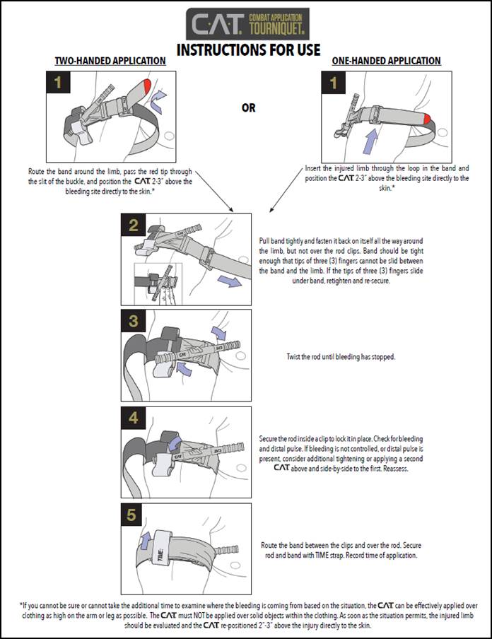 It should be noted that tourniquets should normally only used for extremities (arms and legs) when the bleeding cannot be stopped by the use of direct pressure alone, if direct pressure cannot be effectively applied for any reason, or if it is clear that the injury is so massive that attempting to use direct pressure will fail and only waste valuable time. There is an intermediate option of “wound packing” that can be used if applying direct pressure is not sufficient to stop the bleeding and the wound is on the neck, armpit, shoulder or groin. Because of the critical internal organs - the only viable field solution to wounds to the chest, abdomen, lower back, pelvis and skull is applying direct pressure. The nominal order of the steps that you should take to “stop the bleed” is:
If you want more details about the C-A-T Combat Application Tourniquet you can find it here: https://www.narescue.com/combat-application-tourniquet-c-a-t.html Here’s a great presentation by North American Rescue on “Small Limb Hemorrhage Control” that covers all this material in detail: https://www.narescue.com/education/cat-tourniquet-education/small-limb-hemorrhage-training-ppt.html In addition, other CAT Tourniquet Educational Materials can be found here: https://www.narescue.com/education/cat-tourniquet-education.html Just remember – with respect to traumatic bleeding – If it won’t quit - - - Tourniquet! |
What's On This Page?Here's where we post reviews, questions, answers, thoughts and other information that's of general interest to our followers in a blog format. Categories
All
Archives
August 2023
|


 RSS Feed